Thunder Creek to Park Creek Pass, North Cascades NP
Posted: September 3rd, 2019, 9:45 am
I did a five day trip in North Cascades National Park, up Thunder Creek all the way to Thunder Basin Camp, just below the north side of Park Creek Pass. It was 18 miles in with nearly 3700 feet of net gain (and a 1000 foot drop so 4700 up) through miles of rainforest with no views to a spectacular camp surrounded by towering mountain walls. The long hike in with altitude gain is the price to pay for that alpine payoff at the end. I guess that's why I saw a total of two people after passing casual dayhike distance from the trailhead.
Ths genesis of this trip was a trip years ago up the south side of the pass as a dayhike from camp on the Stehekin Road far below. I got up there and wanted to explore, but it was already going to be an 18 mile day. So I always wanted to camp close by so I could explore. That meant going in from the north - this trip.
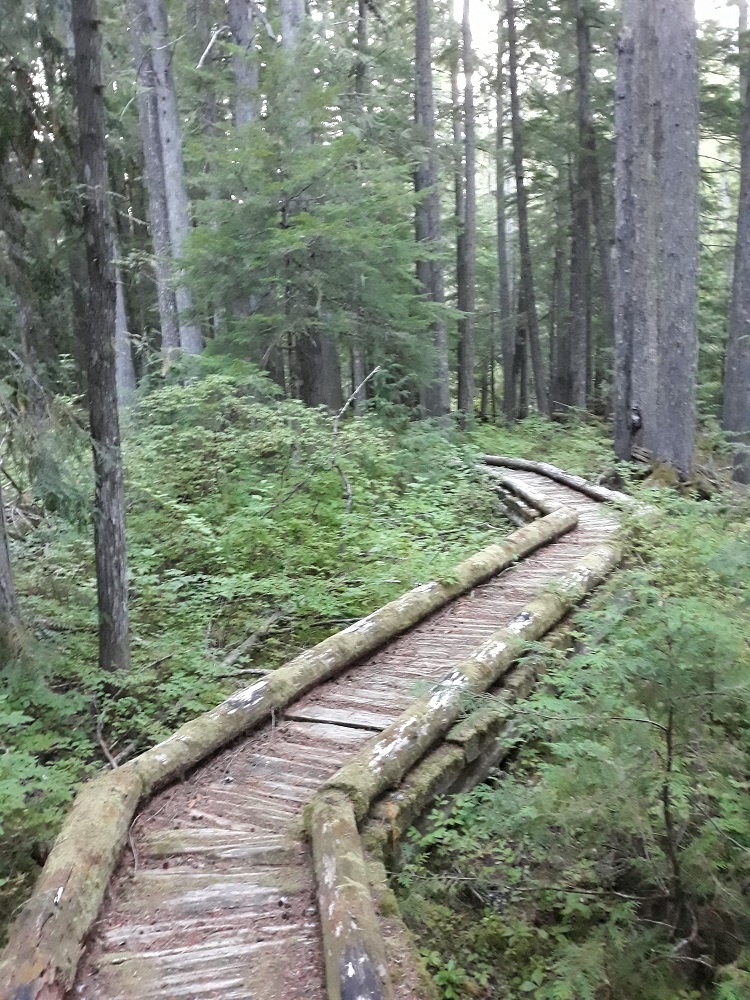
It starts with the rainforest

Thunder Creek - looks more like a river, and this in late August in a dry year

After the nearly 7 hour drive up there, I got eight mostly flat miles in and I get to my first camp

Camp was on the bank of Fisher Creek

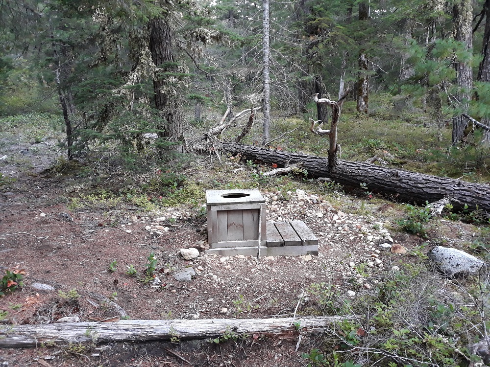
All camps in the park have a toilet, though not much privacy, though these tended to be at the end of a long trail
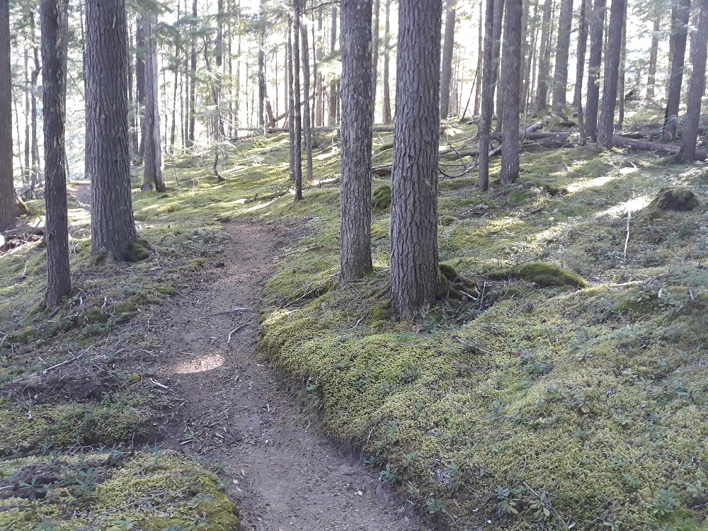
My first uphill the next morning, to the Junction area, and the forest floor is all moss for miles (to be followed by almost 1000 feet down shortly)
First tantalizing mountain view

Can't quite get my head around moldy mushrooms, there were lots of them

The sunlight was just right for this

In the Skagit Queen Ck area there was a lot of old mining stuff. Must have taken quite some effort to get these heavy pipes in.


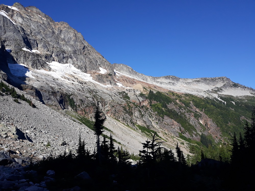
Finally, in the upper Thunder Creek drainage, that notch is Park Creek Pass

The ford of Thunder Creek, nothing like down below; the logs in upper right didn't seem like they would hold my weight

My Thunder Basin camp, a ridge of Buckner Mountain looms above

Looking more westerly from camp
The creek near camp and the ridge to the east

The next morning I did a dayhike up to and over Park Creek Pass, this is looking back, where I came up the day before

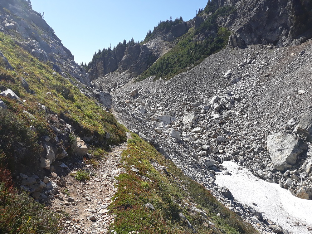
Approaching Park Creek Pass, about 6100', from the north
The best view looking back north

Now looking south from the pass

Looking west from south of the pass, Booker Mtn, note that bootpath, I would explore over there next

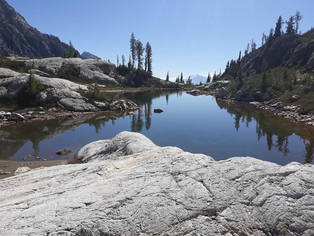
Up there I found this nice little tarn to have lunch at

On the way back, got this picture of Mt. Logan

Mt Goode
More of Buckner Mtn from camp, with the sun low in the sky

Alas, it was time to head back. This is a calmer section of Thunder Creek

That night I camped at Junction Camp and got this glacier picture through the trees

This is the Fisher Creek trail that I strolled up a little ways
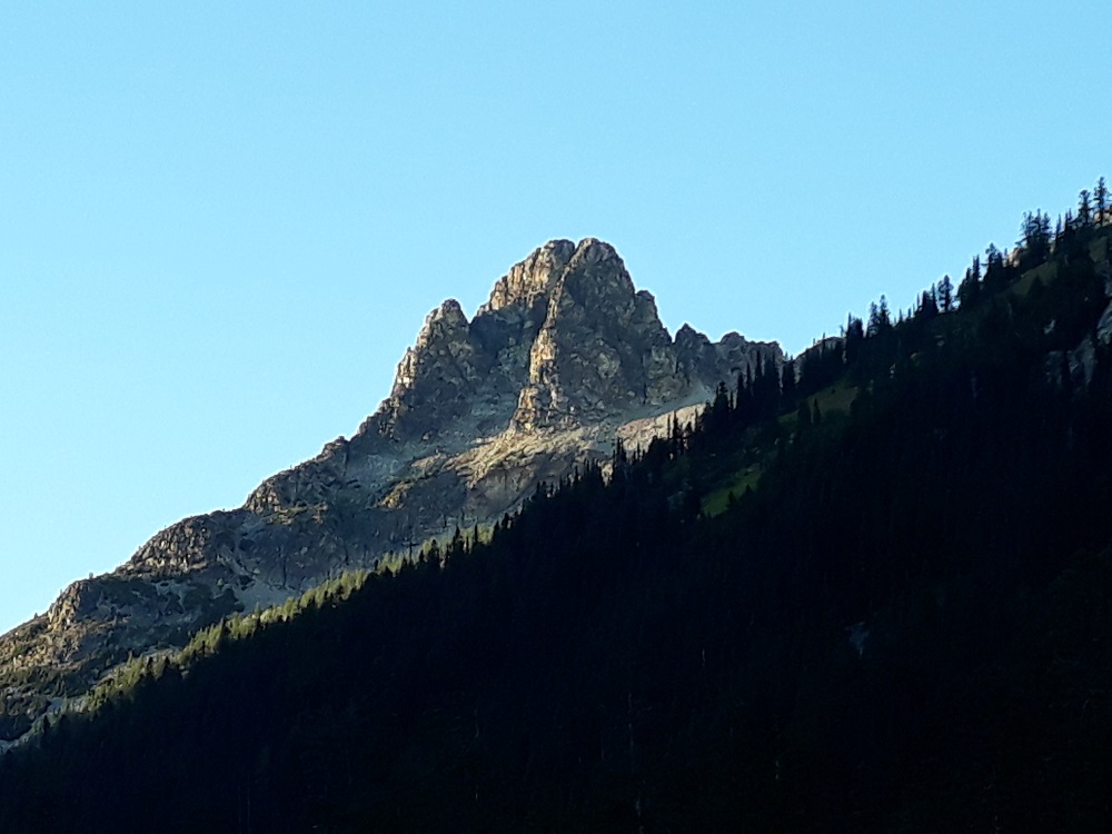
Through another hole in the trees I got this great sunrise photo of Tricouni Peak the next morning

And the same view with the sun higher in the sky. I counted 14 waterfalls on the creek on the left. Then it was 10 more miles out to my car.

Ths genesis of this trip was a trip years ago up the south side of the pass as a dayhike from camp on the Stehekin Road far below. I got up there and wanted to explore, but it was already going to be an 18 mile day. So I always wanted to camp close by so I could explore. That meant going in from the north - this trip.
It starts with the rainforest
Thunder Creek - looks more like a river, and this in late August in a dry year
After the nearly 7 hour drive up there, I got eight mostly flat miles in and I get to my first camp
Camp was on the bank of Fisher Creek
All camps in the park have a toilet, though not much privacy, though these tended to be at the end of a long trail
My first uphill the next morning, to the Junction area, and the forest floor is all moss for miles (to be followed by almost 1000 feet down shortly)
First tantalizing mountain view
Can't quite get my head around moldy mushrooms, there were lots of them
The sunlight was just right for this
In the Skagit Queen Ck area there was a lot of old mining stuff. Must have taken quite some effort to get these heavy pipes in.
Finally, in the upper Thunder Creek drainage, that notch is Park Creek Pass
The ford of Thunder Creek, nothing like down below; the logs in upper right didn't seem like they would hold my weight
My Thunder Basin camp, a ridge of Buckner Mountain looms above
Looking more westerly from camp
The creek near camp and the ridge to the east
The next morning I did a dayhike up to and over Park Creek Pass, this is looking back, where I came up the day before
Approaching Park Creek Pass, about 6100', from the north
The best view looking back north
Now looking south from the pass
Looking west from south of the pass, Booker Mtn, note that bootpath, I would explore over there next
Up there I found this nice little tarn to have lunch at
On the way back, got this picture of Mt. Logan
Mt Goode
More of Buckner Mtn from camp, with the sun low in the sky
Alas, it was time to head back. This is a calmer section of Thunder Creek
That night I camped at Junction Camp and got this glacier picture through the trees
This is the Fisher Creek trail that I strolled up a little ways
Through another hole in the trees I got this great sunrise photo of Tricouni Peak the next morning
And the same view with the sun higher in the sky. I counted 14 waterfalls on the creek on the left. Then it was 10 more miles out to my car.