When: 8/22/19-8/23/19
Who: Just Me (Born2BBrad)
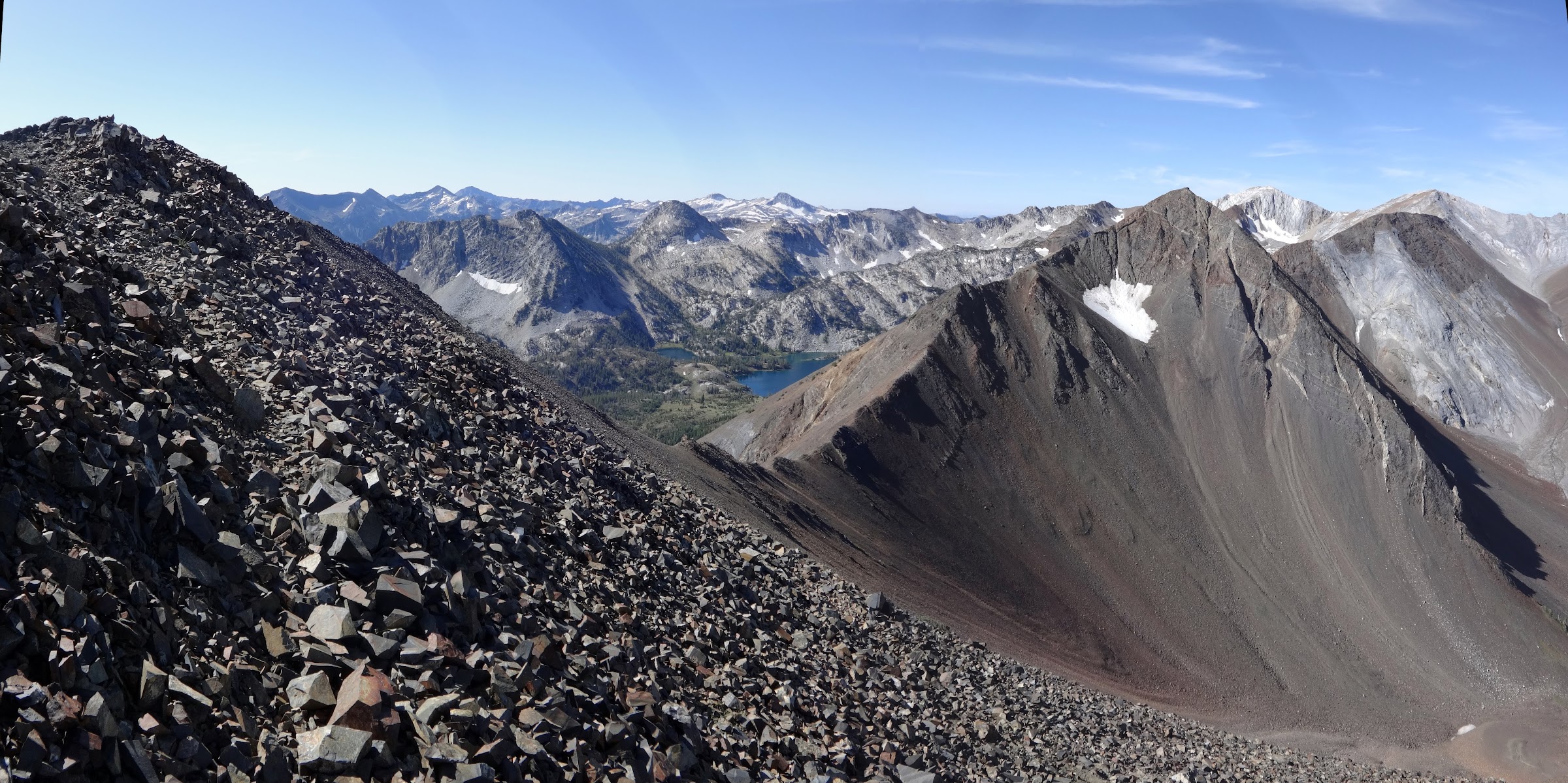
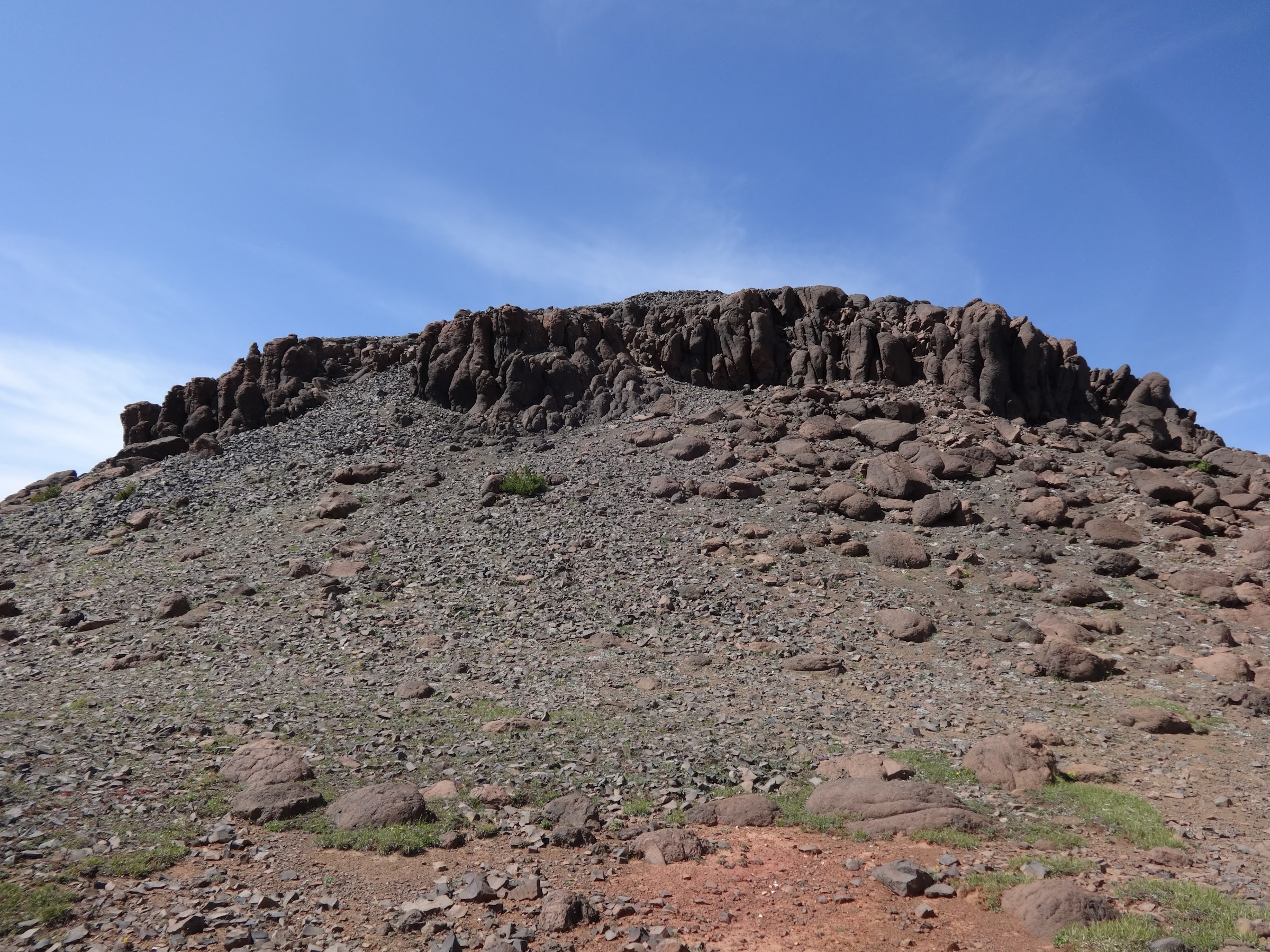
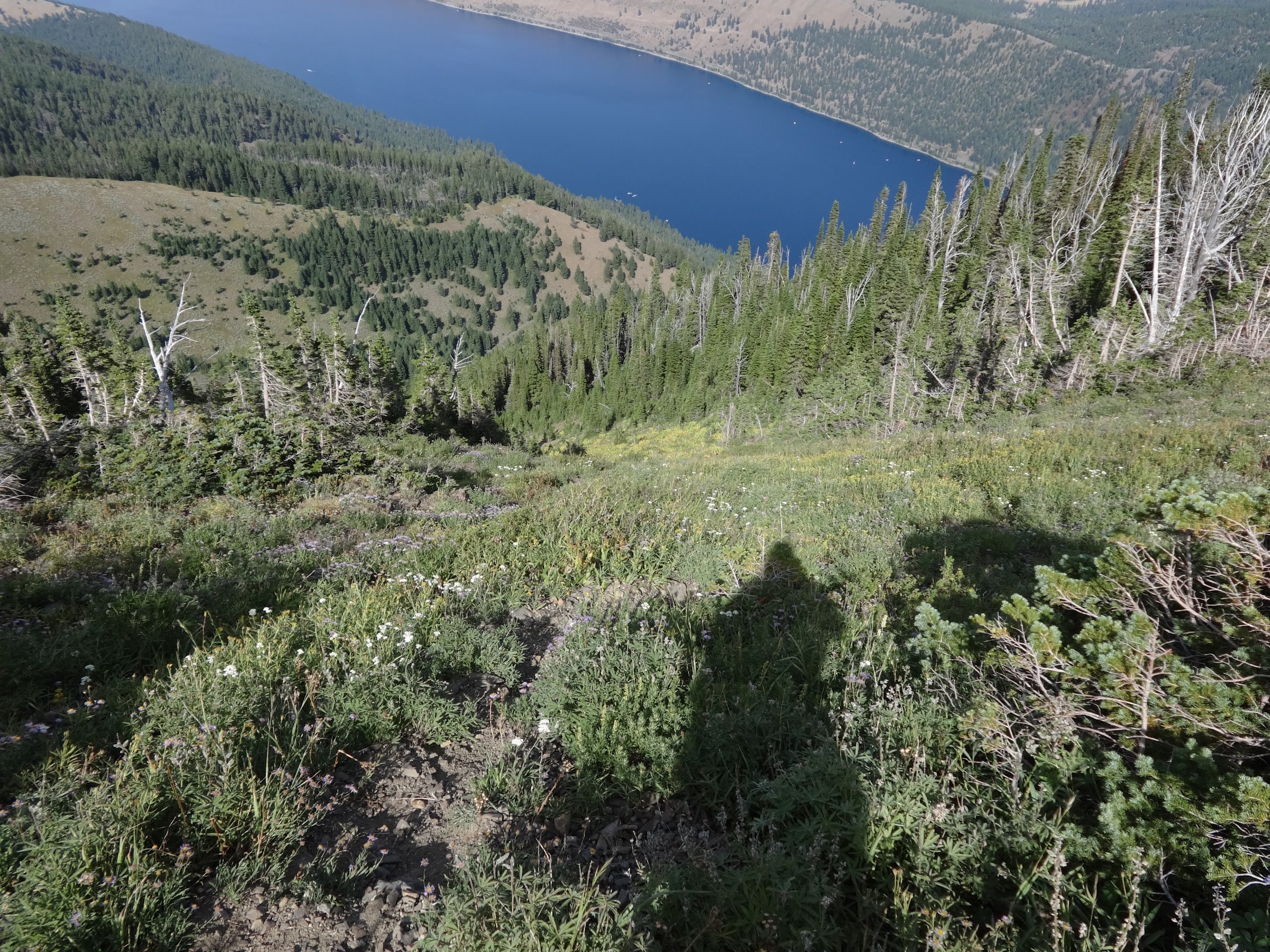
Opening picture:
-----------------------------------------------------------------------------------
General Information
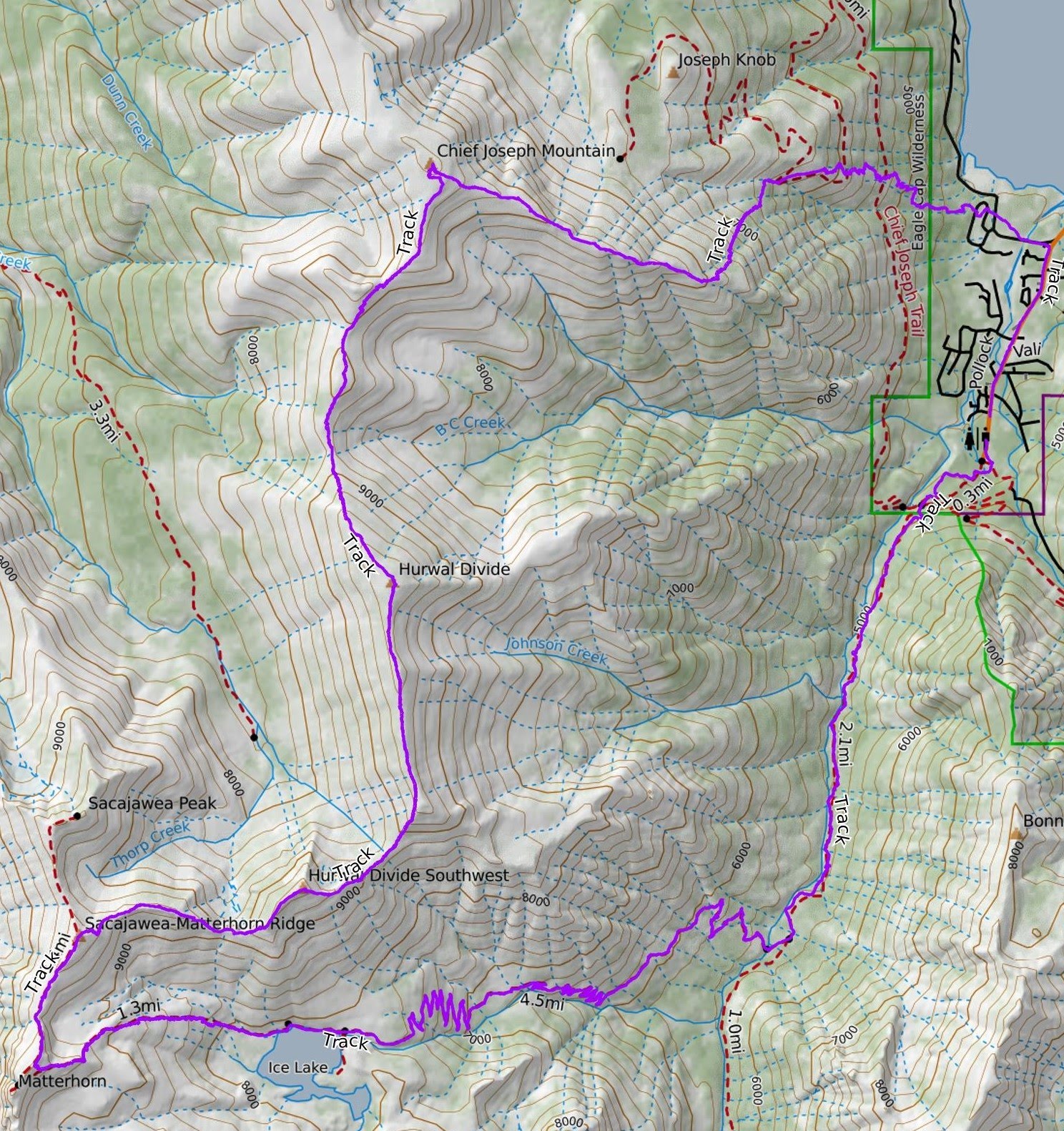
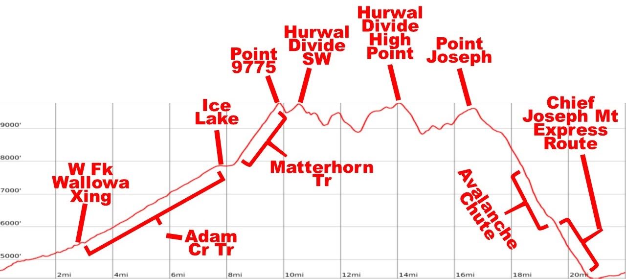
Route: Wallowa Lake TH (4660’), W Fk Wallowa Tr, Adam Cr Tr Jct (5525’), Adam Cr Tr, Ice Lake (7849’), Matterhorn Tr, Peak 9775 (9775’), Peak 9509 A.K.A Hurwal SW (9509’), Peak 9776 A.K.A. Hurwal high point (9776’), Point Joseph (9616’), Chief Joseph Mt. SE ridge (9600’-7900’), Avalanche Chute (7900’-6500’), Chief Joseph Mt. Tr express route (6500’-4500’), Road back to TH
Miles: 22
EG: 8150’
People encountered on Hurwal Divide: 0
Number of mosquito bites: 0
Number of hours from start to finish: 26 hours
Google Earth overview:

Topographical overview:
Elevation profile:
Google Earth video tour of trip (4:16 minutes):
Link to video on YouTube:
https://youtu.be/ZX7IKcjce-Y
-----------------------------------------------------------------------------------
Trip Narrative and Pictures
Do you ever look at maps, cruise around on Google Earth or spy a possible route while hiking and think to yourself, “Can it be done? Can it be done by ME?” I do it all the time. While on the Sac/Matt/Cap trip with Van Marmot, I looked over from Peak 9775 and saw that it connected with the Hurwal Divide. Hmmm.
Simply put the Hurwal Divide is the ridge that separates the Hurricane Creek drainage (HUR) from the West Fork Wallowa River drainage (WAL). HUR + WAL = HURWAL.
Here are a couple links with information on the Hurwal Divide:
https://www.oregonhikers.org/field_guide/Hurwal_Divide
https://www.summitpost.org/hurwal-divide/151342
Once again, I drove to Wallowa Lake the evening before the day of the hike to maximize daylight hiking and to acclimatize. Once again, I slept in my car at the trailhead.
The pictures start from above Ice Lake, since the section from the TH up the W. Fk Wallowa and up Adam Creek have been detailed many times before. Much here may only be of interest to the hardcore ridge scramblers. Nat, I’m looking at you
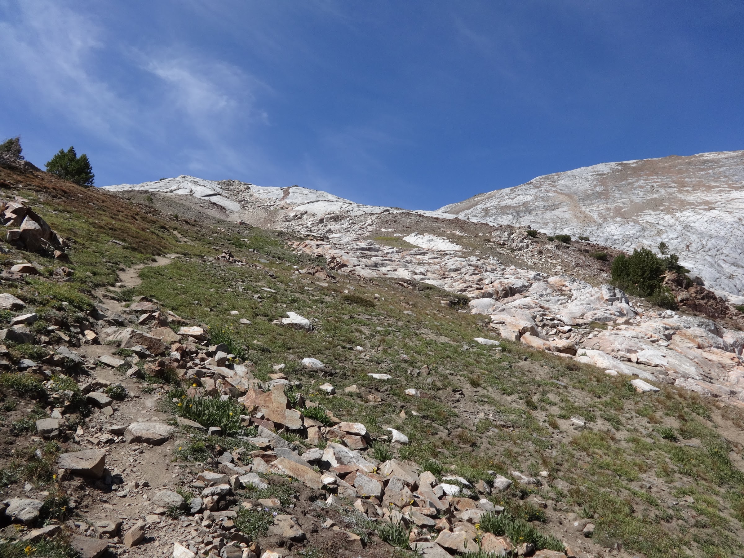
Start of the trail up to Matterhorn:
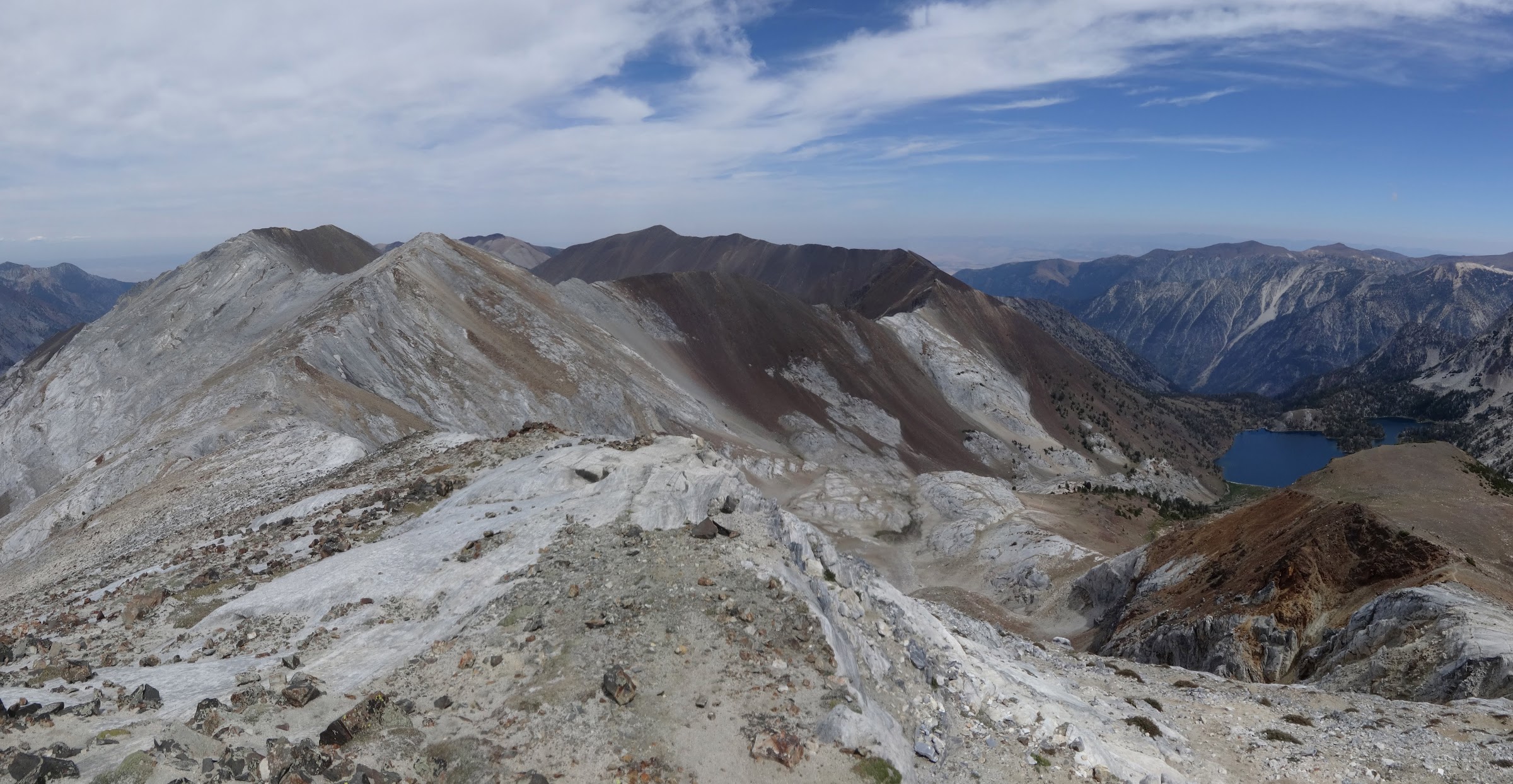
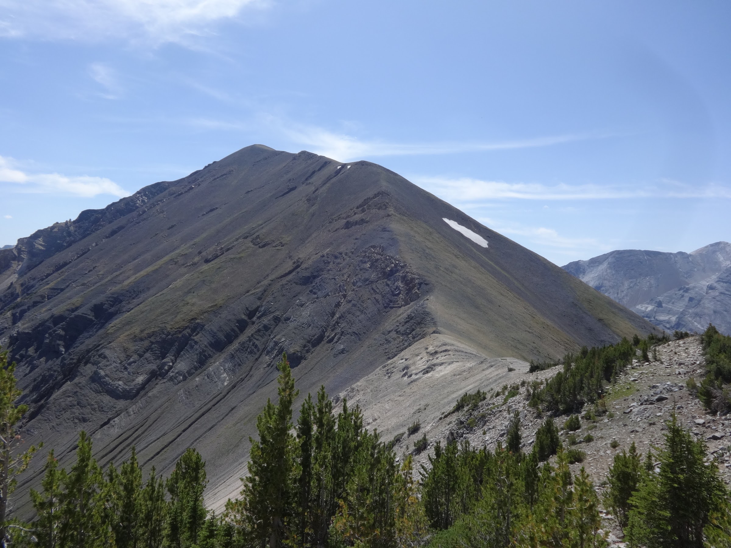
On the ridge almost at Matterhorn. L-R Sacajawea Peak, Peak 9775, Hurwal Divide, Ice Lake:
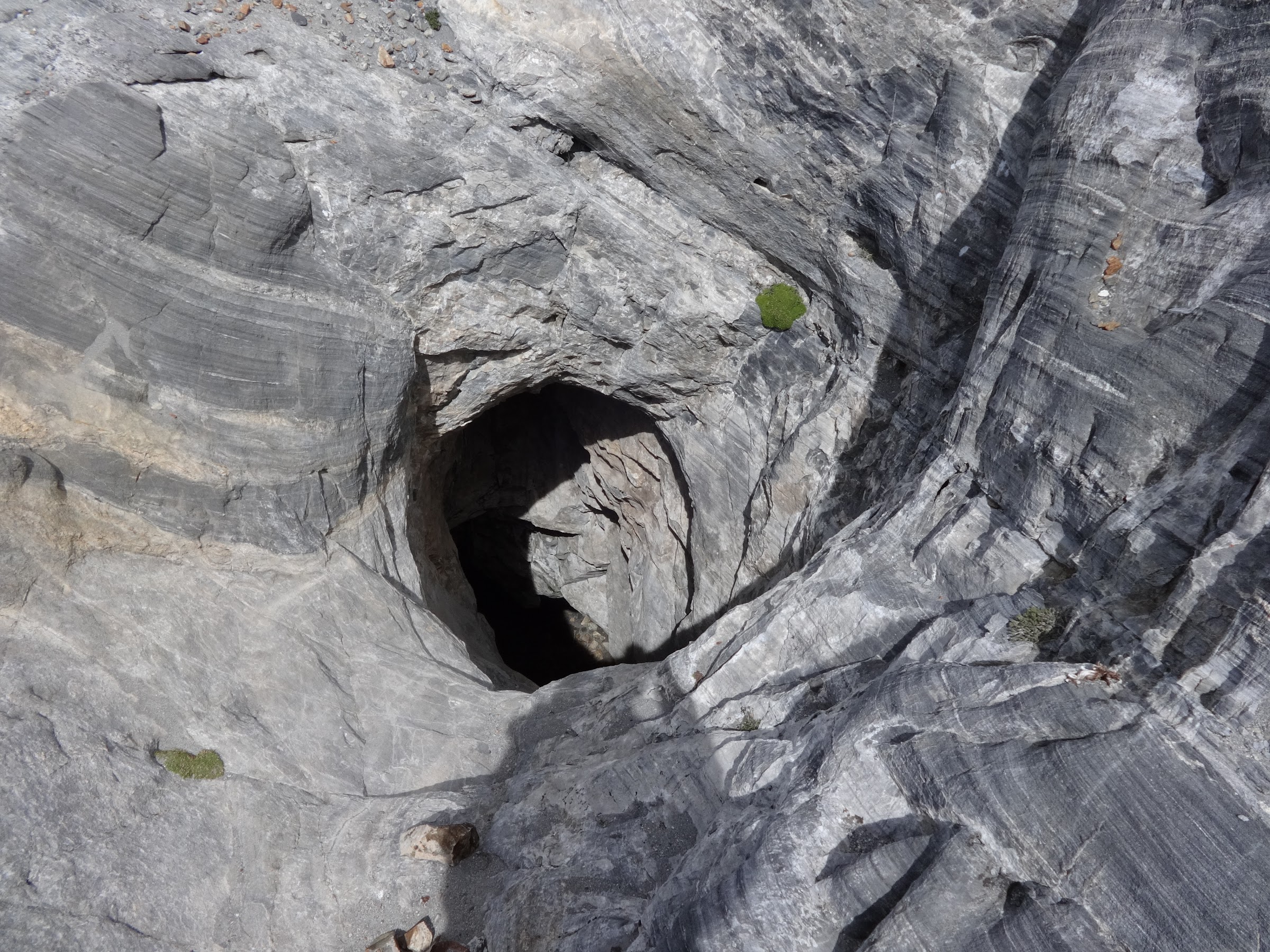
Some big hole in the granite on the way over to Peak 9775:
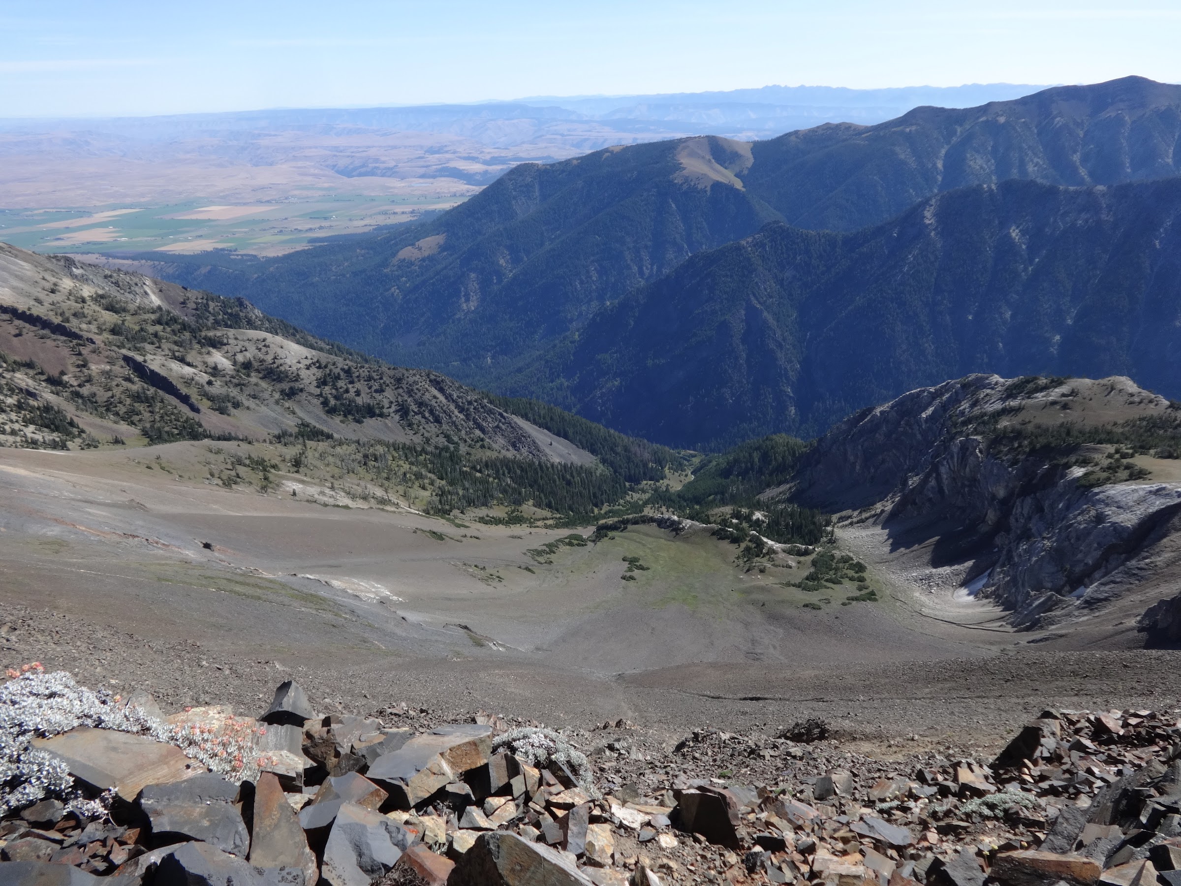
The beginning of the Hurwal Divide from peak 9775:

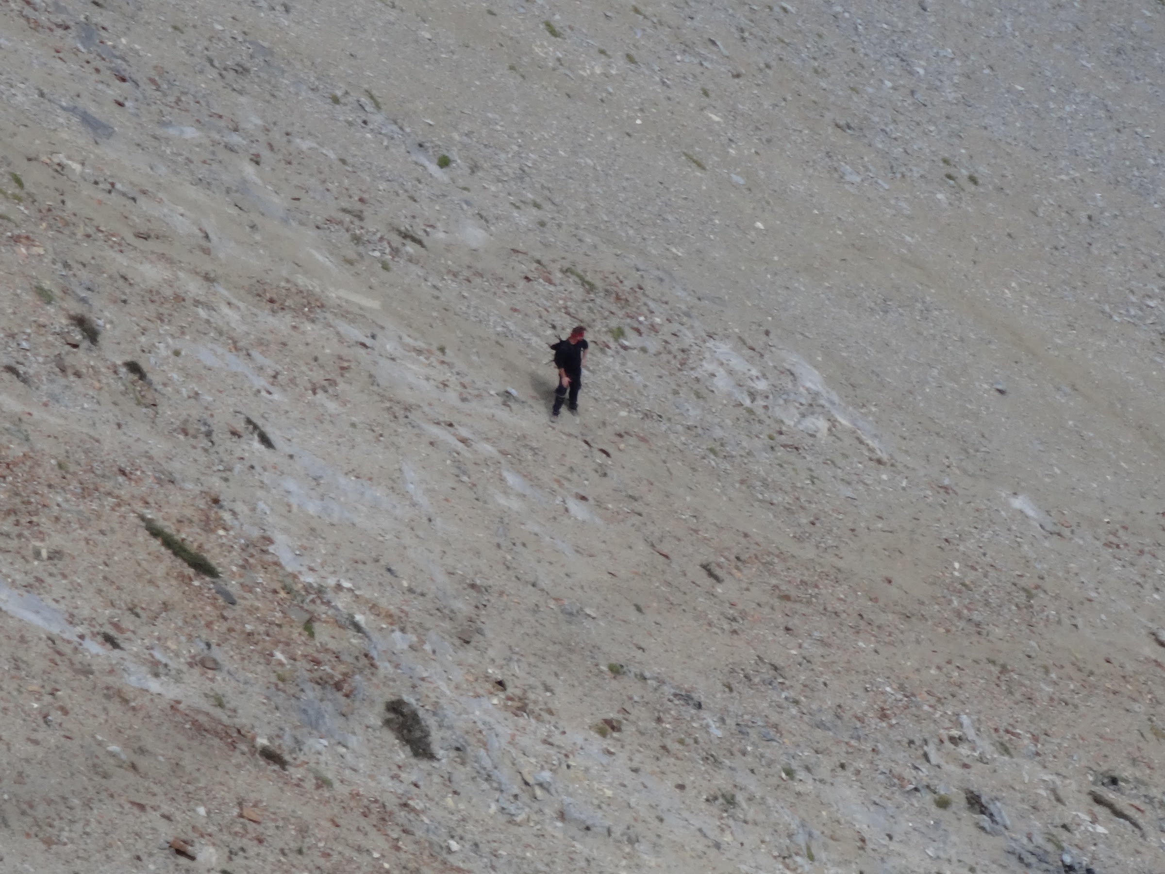
Some dude was scrambling back down to Ice Lake:
Granite gendarme to get around:
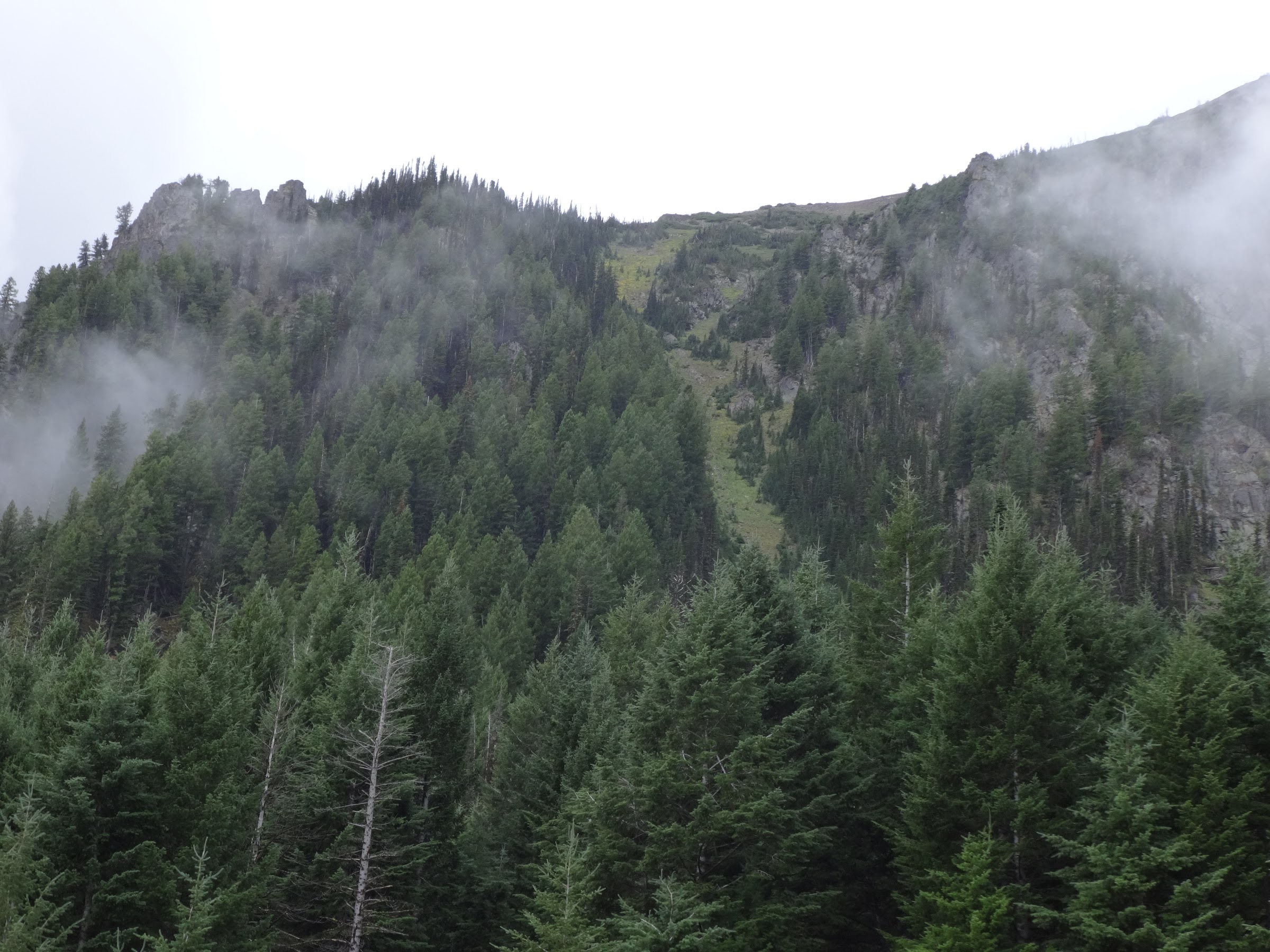
Thorp Creek Basin:
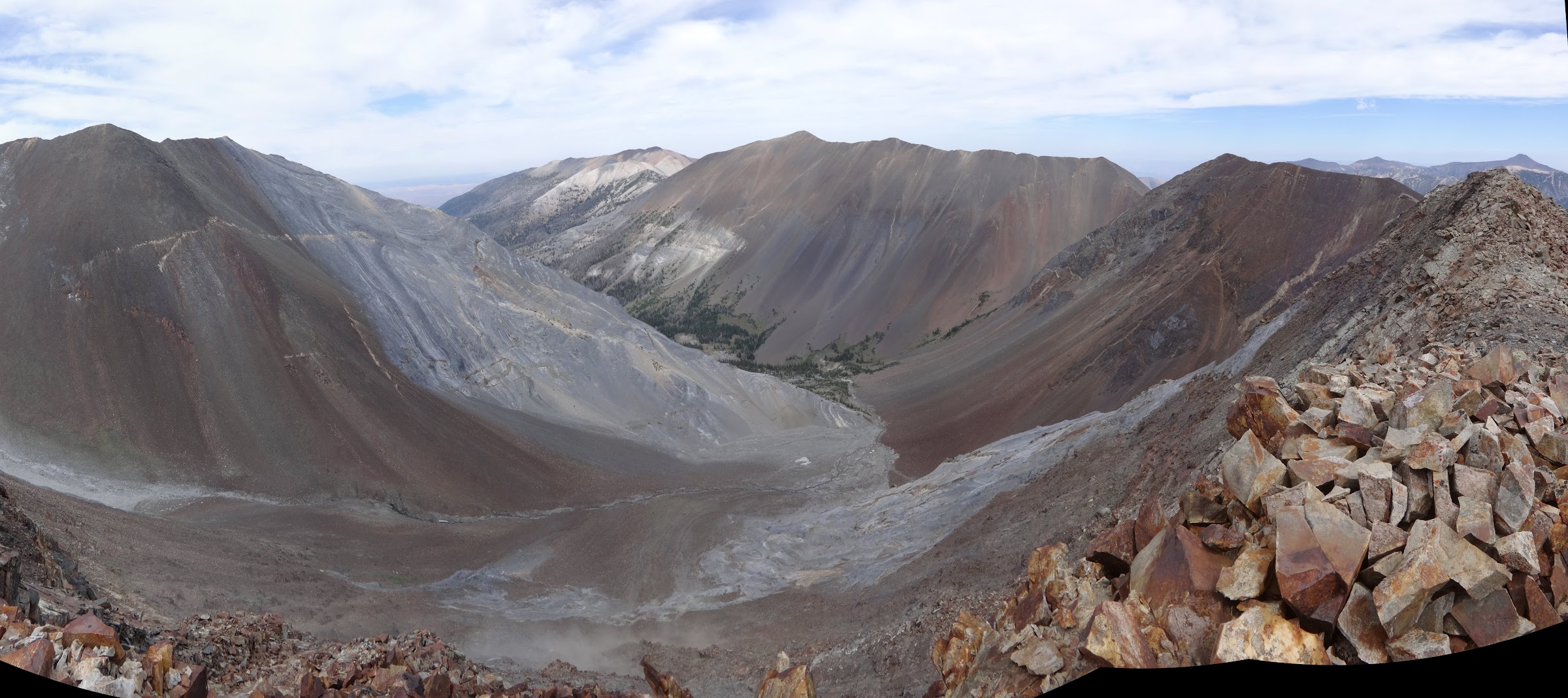
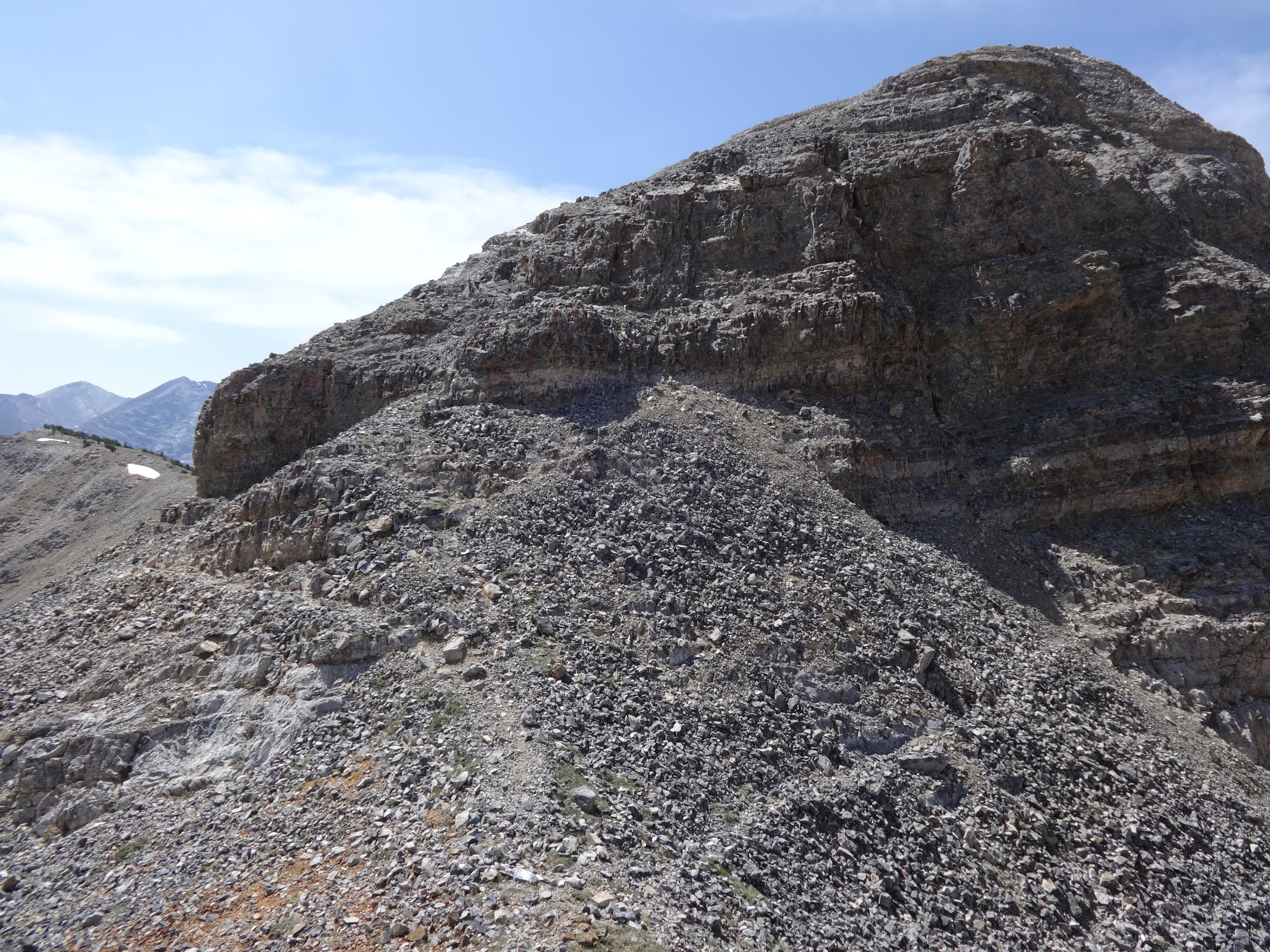
Lots of ups and downs, some easier than others:
This stitch pic didn’t work 100%, but it shows the approach to the Hurwal Divide high point:
Looking back at the Hurwal SW section:

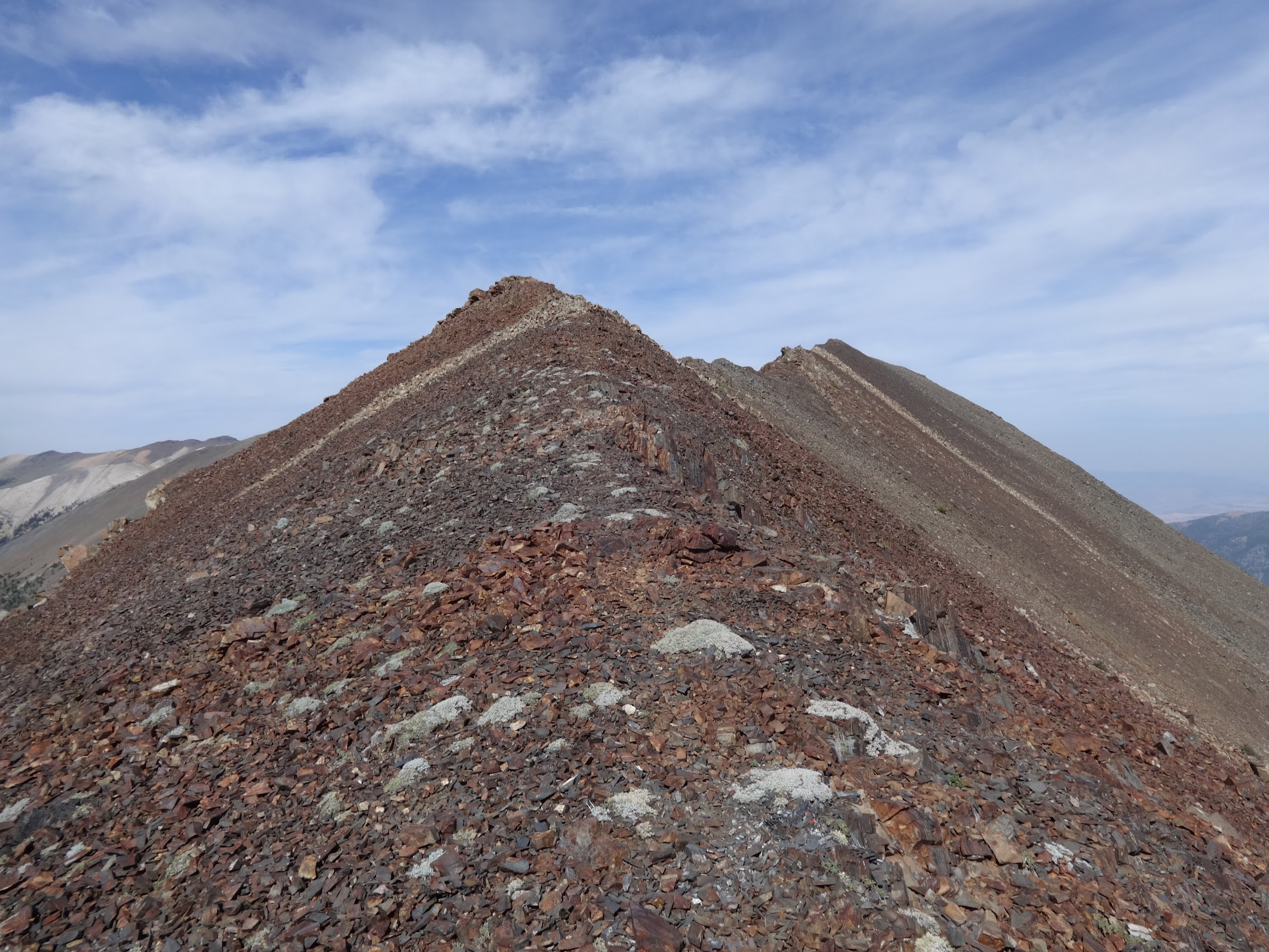
Getting closer to the Hurwal Divide high point:
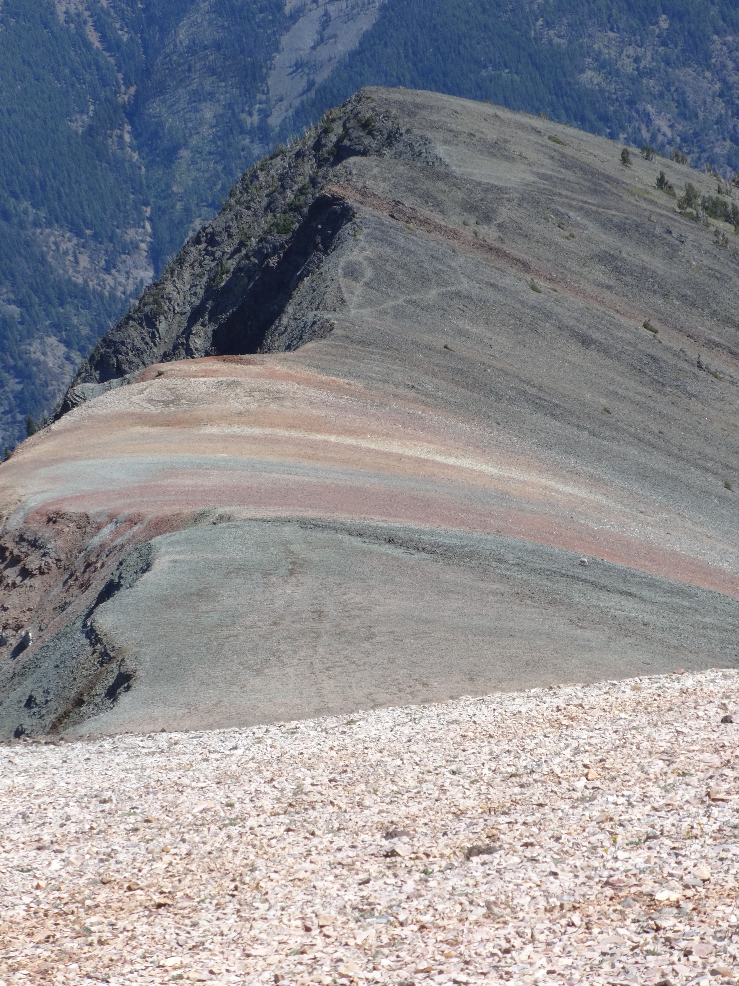
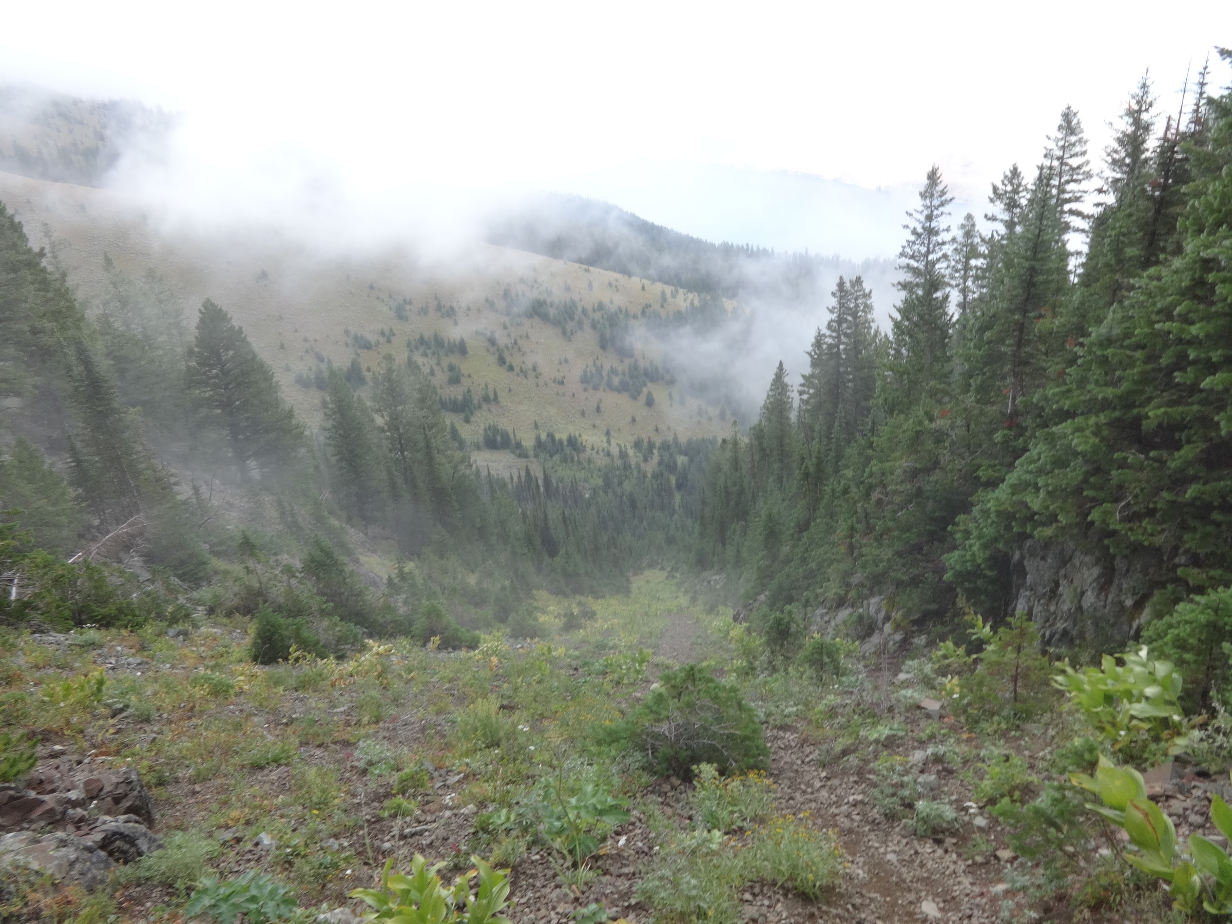
Headwater basin of BC Creek:
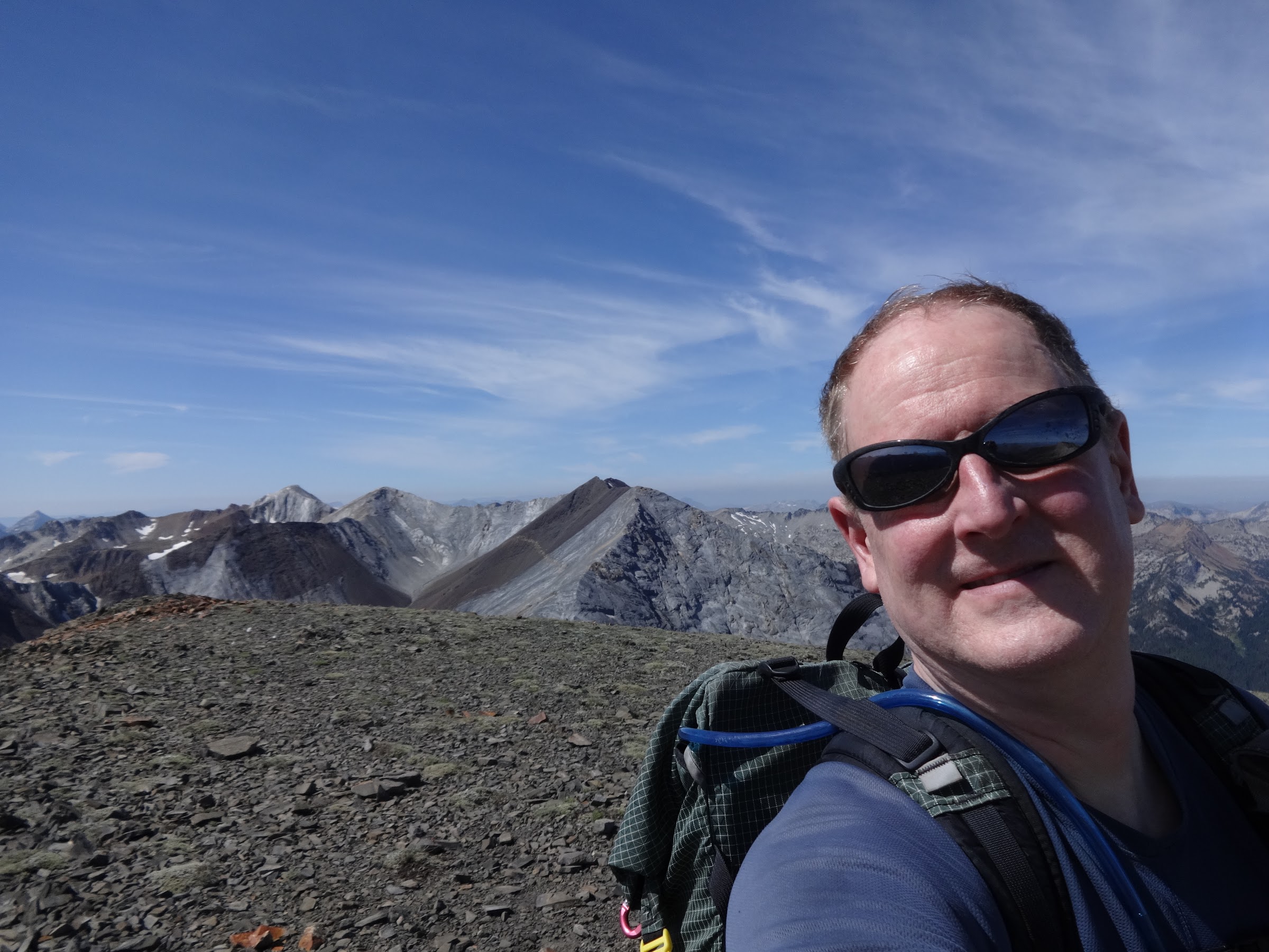
Born2BBrad on the Hurwal Divide high point:
Video 360 on the Hurwal Divide high point: (31 seconds):
Link to video on YouTube:
https://youtu.be/qBKEchbrF08
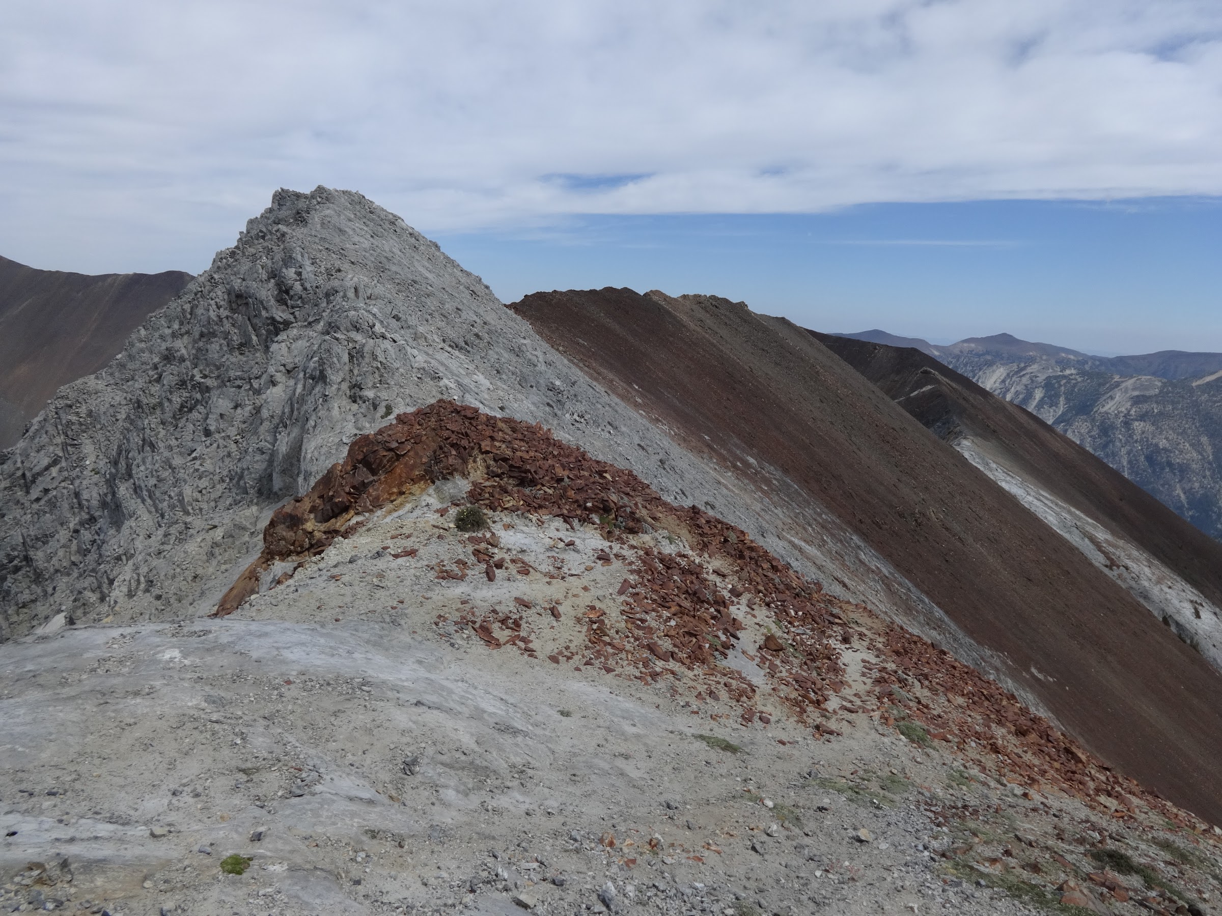
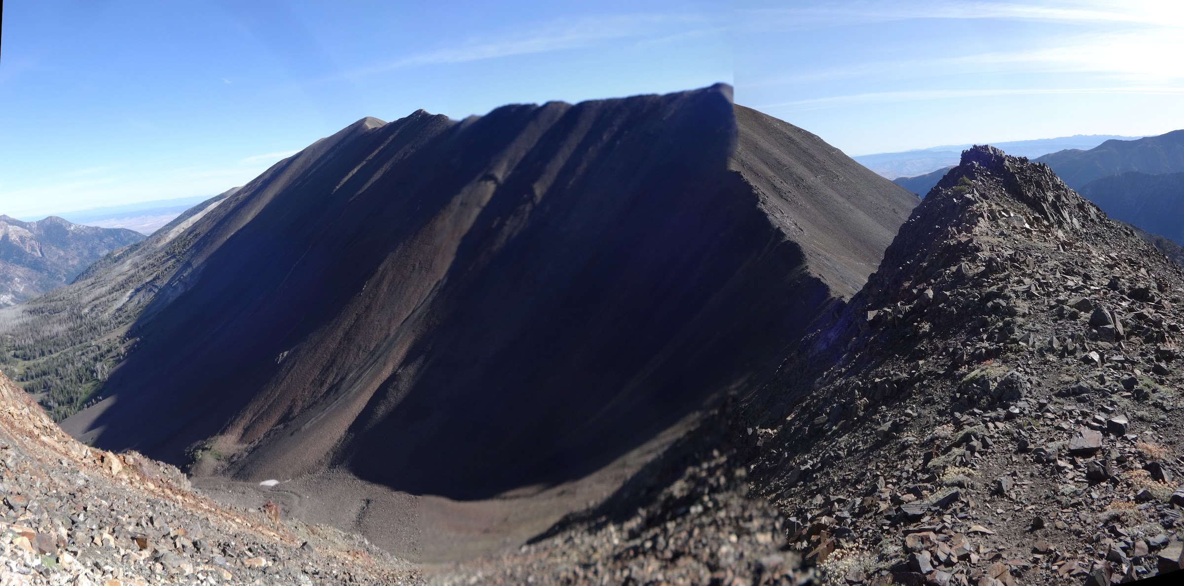
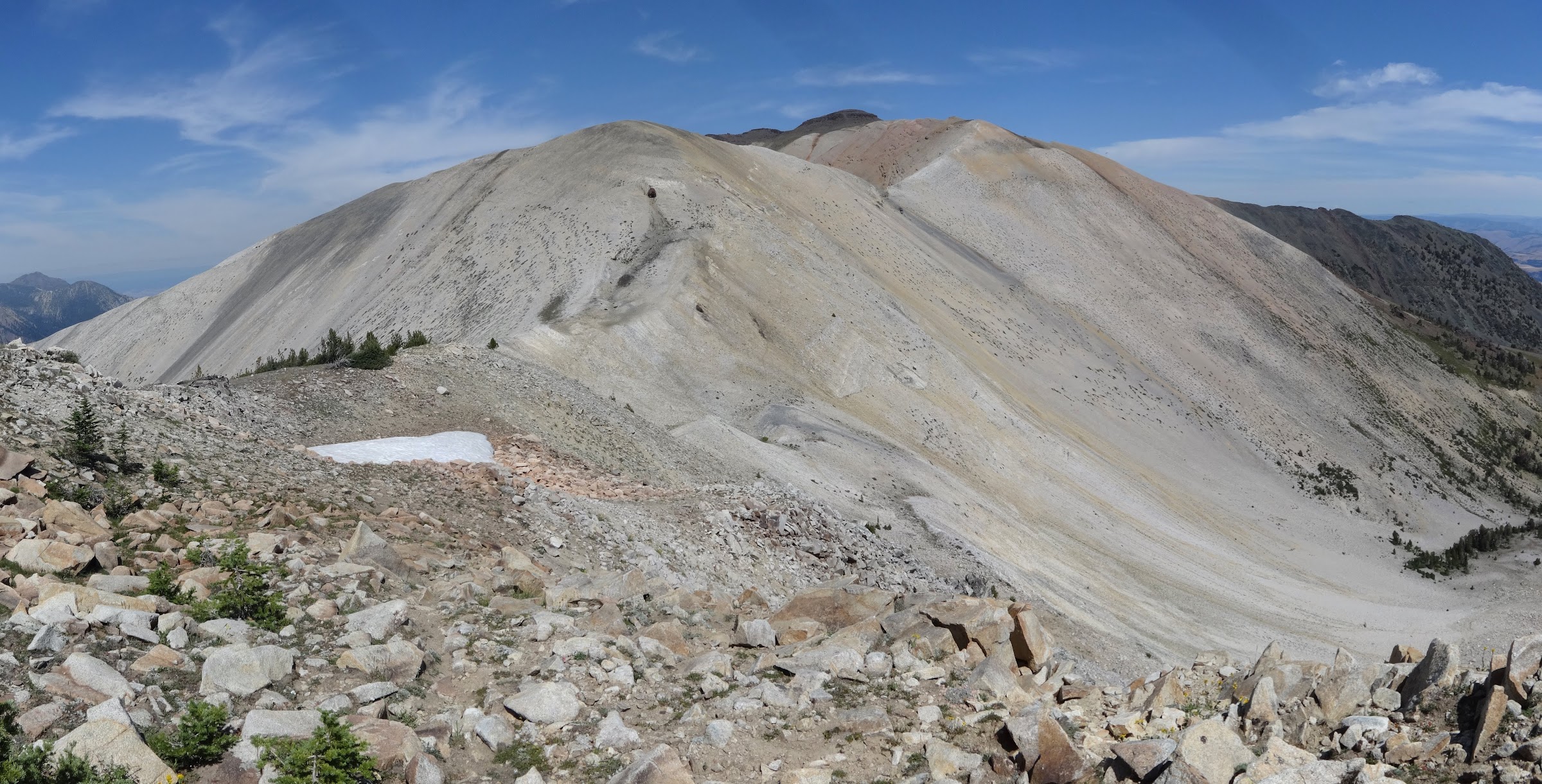
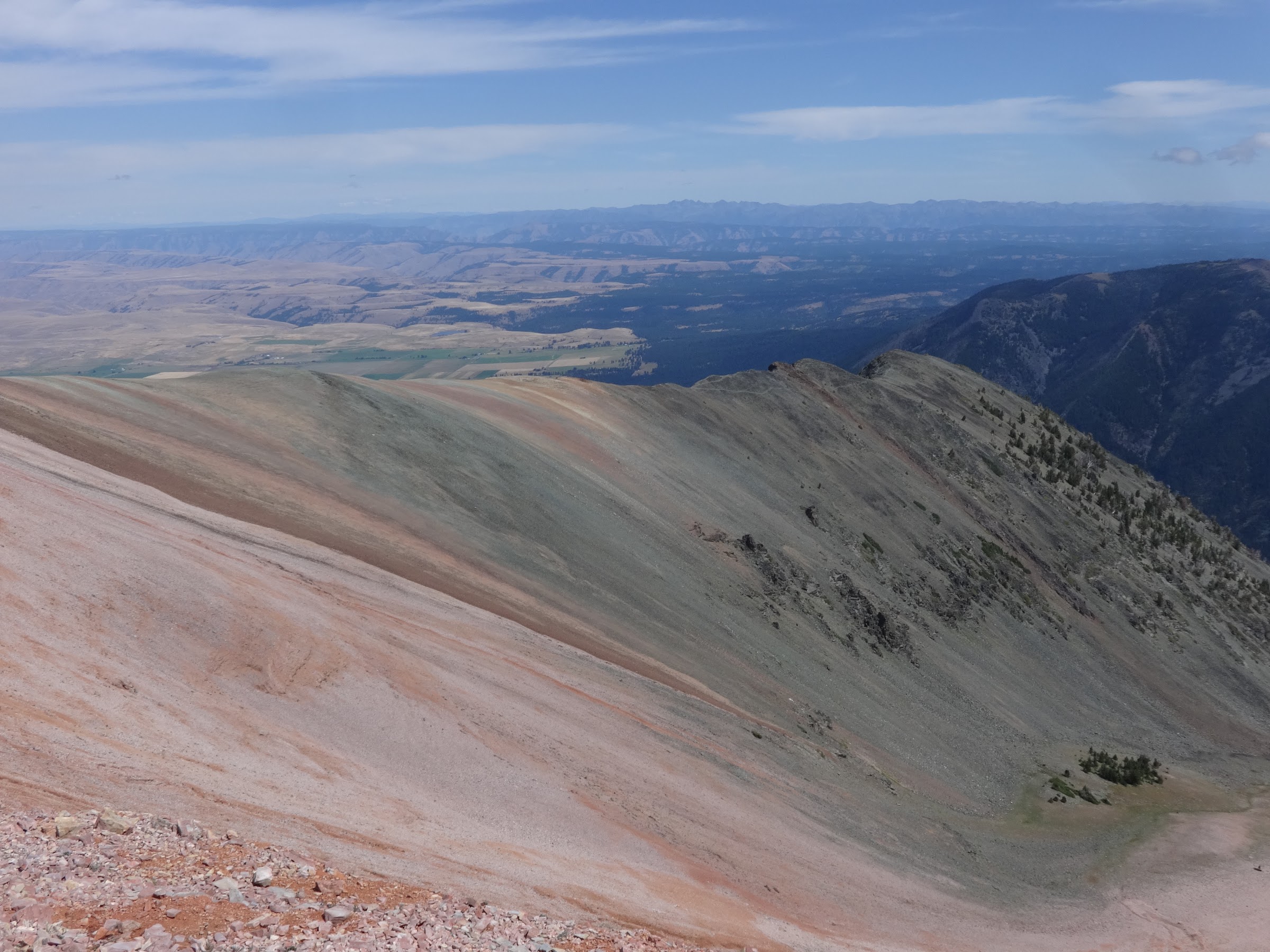
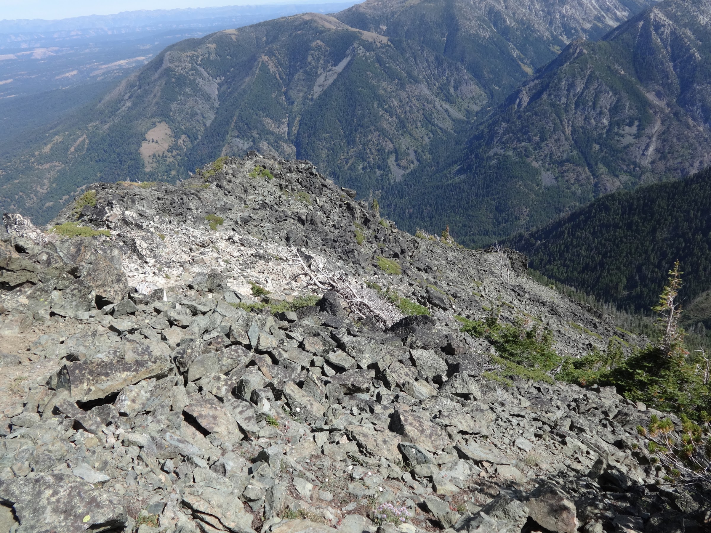
The Hurwal Divide continues to Chief Joseph Mt.:
Negotiating this section of granite boulders was fun:
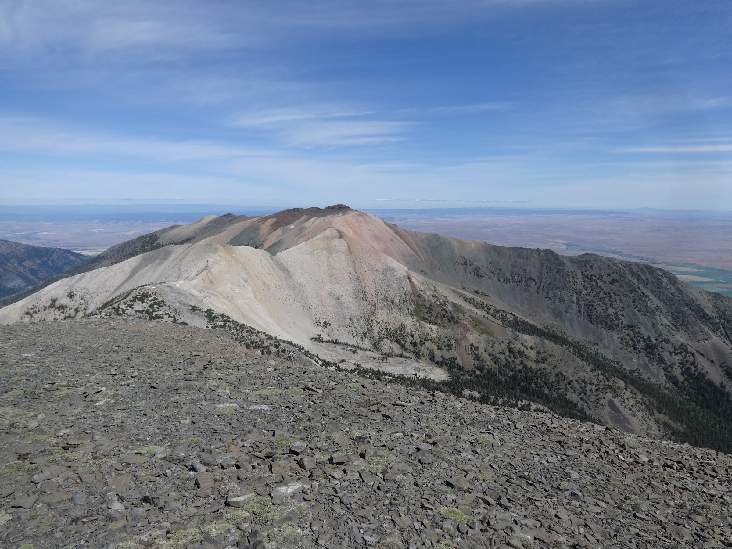
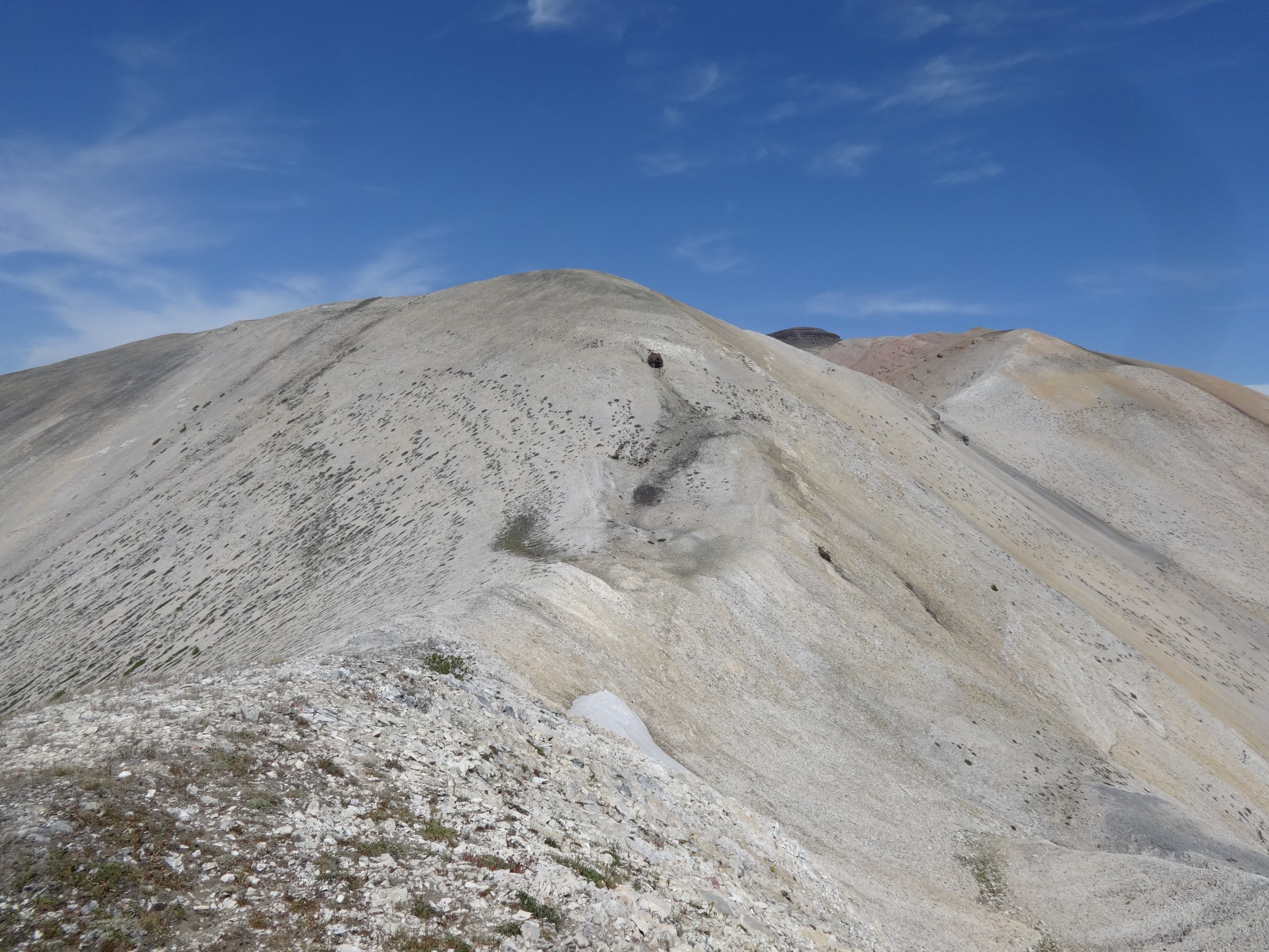
Looking back at the Hurwal Divide high point:
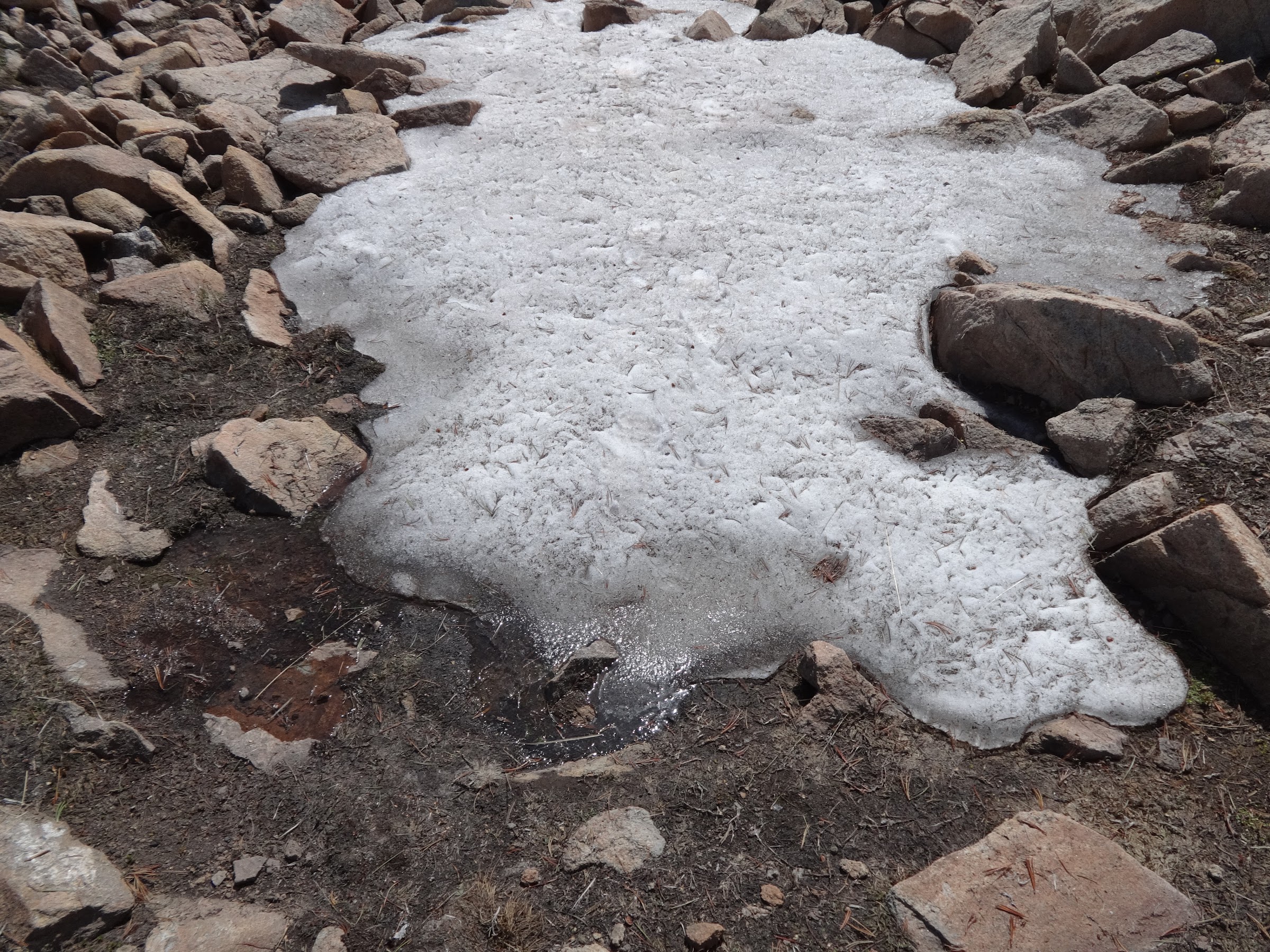
Patch of snow at 8975’ with emergency water source:
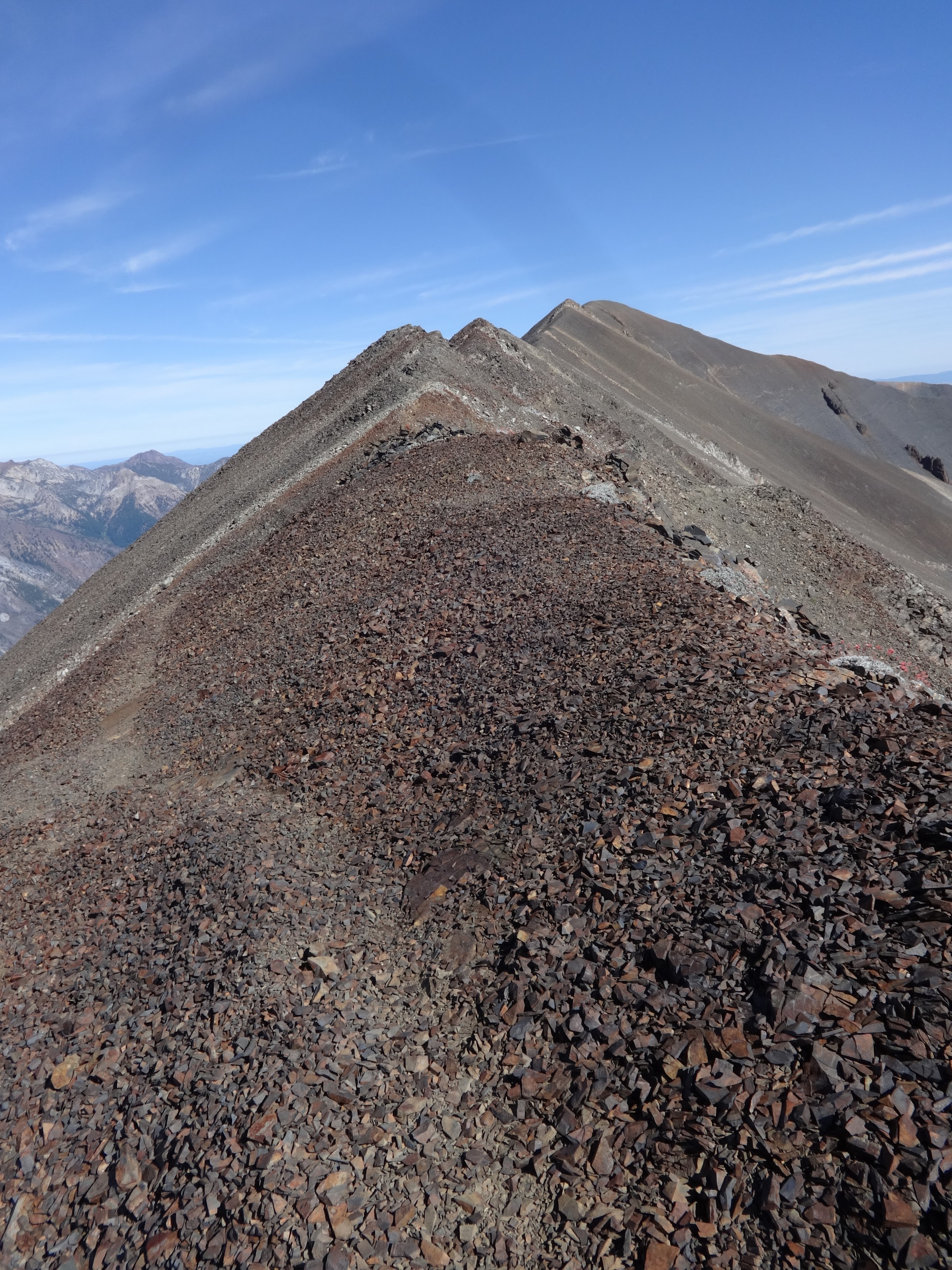
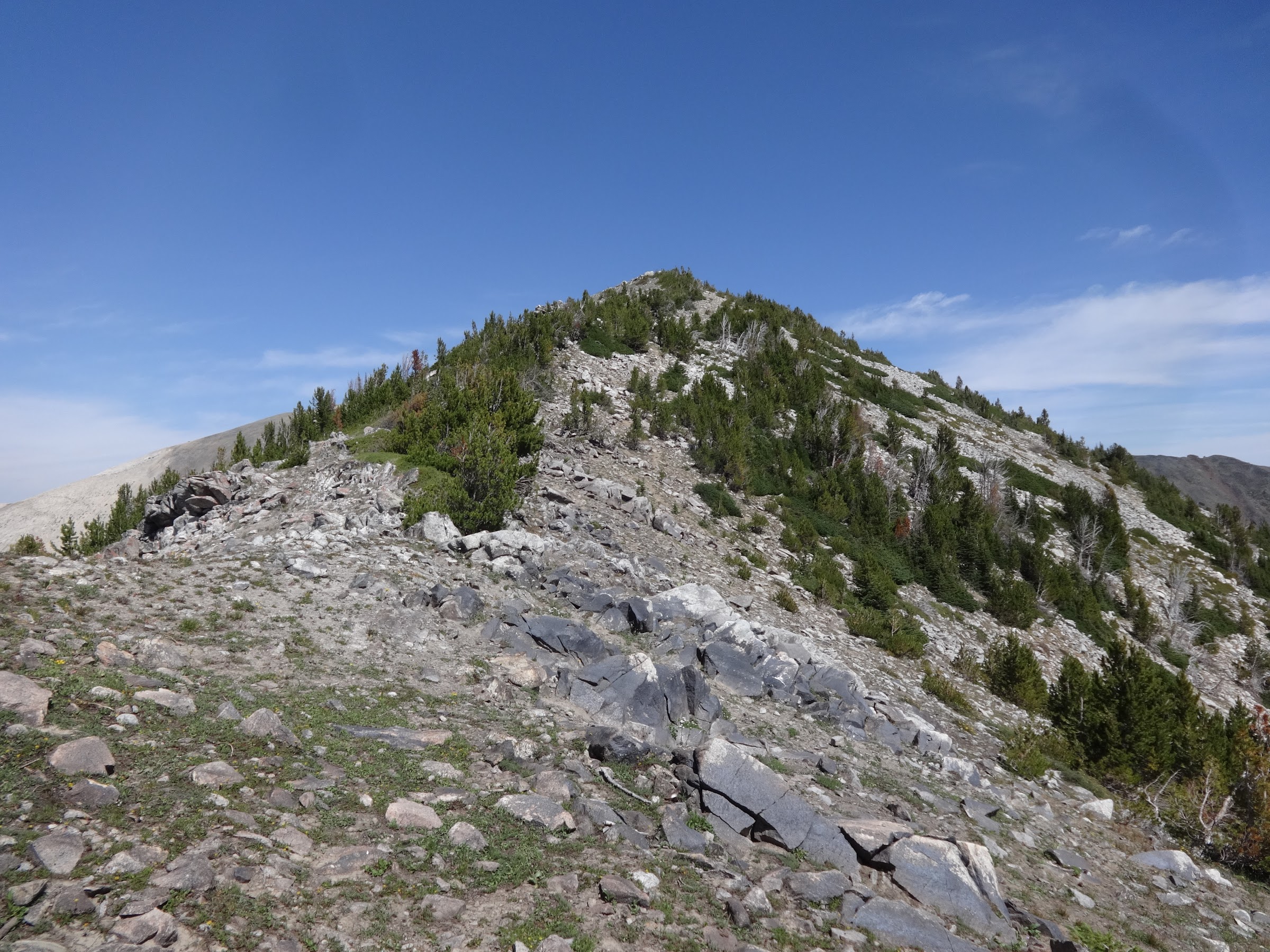
Three more uphill sections to go:
Tip: Stay on top of the ridge here and don’t go around to the right even though there is a path there:
Looking back at another gendarme:
SE ridge of Chief Joseph Mt.:
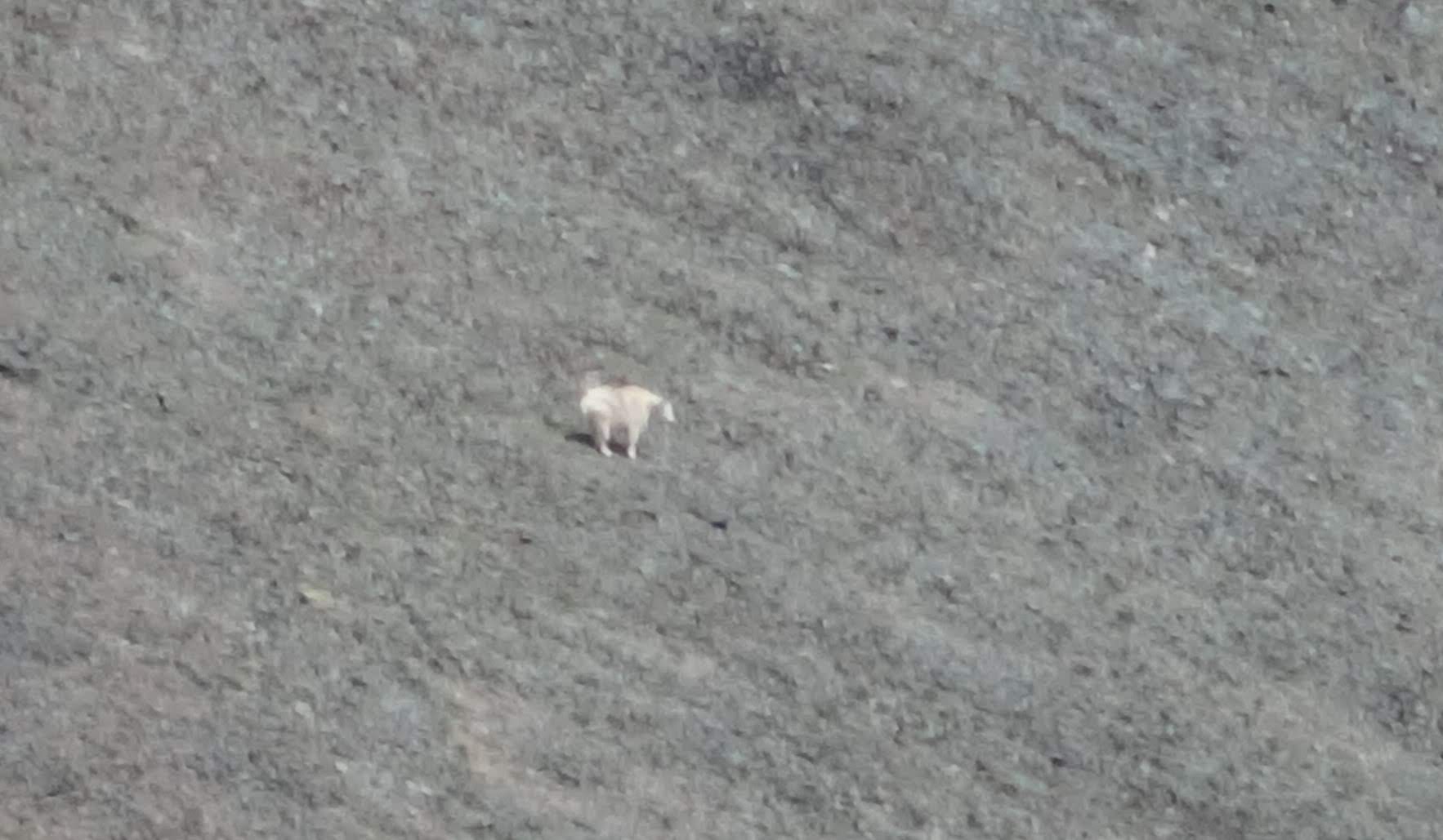
Mountain goat:
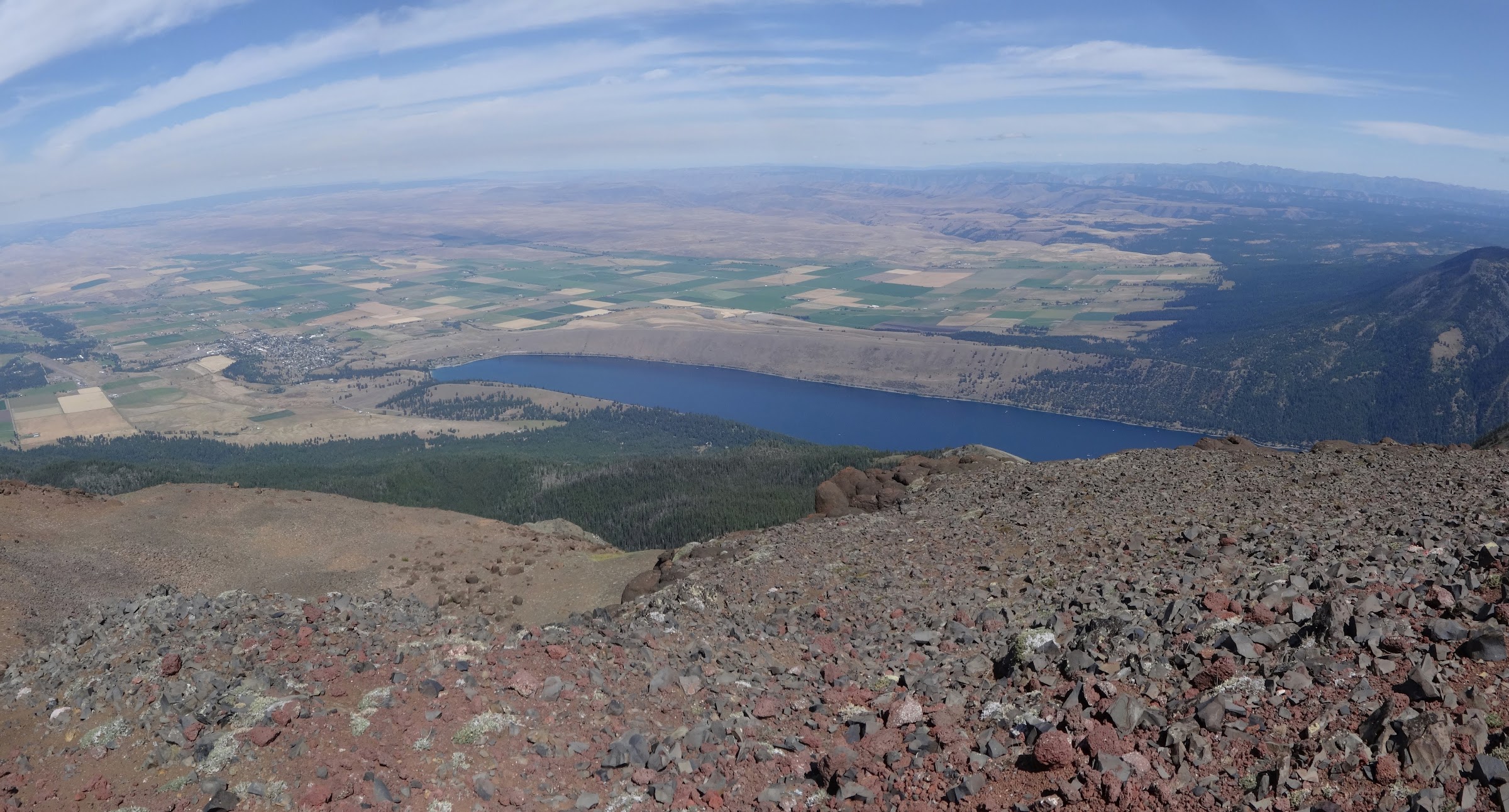
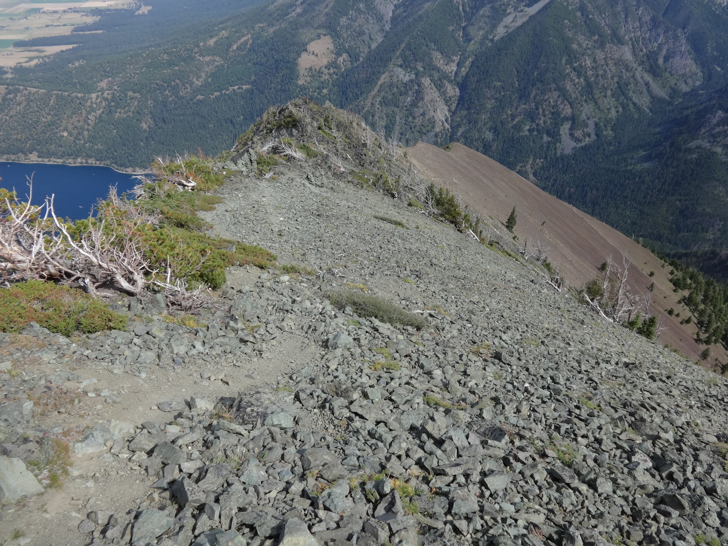
The town of Joseph and Wallowa Lake from Point Joseph:
The rampart of Point Joseph:
Before undertaking this adventure, much research was done on the route. Very little information exists on the Internet. A big concern was how to get down from Chief Joseph Mt. The official Chief Joseph Mt. trail only goes to a meadow far below the summit. The cliffs are too steep to climb to the top. Information was found about taking the SE ridge down to an avalanche chute, which then leads to the Chief Joseph Mt. trail. GPX tracks were downloaded for that section and put on my handheld GPS unit to guide me. That information was spot on.
The start of the descent down the SE ridge. Tip: take the trail that goes down to the right:
Looking back up at Point Joseph. Scree city:

There is about a half mile section coming down the SE ridge that is a nightmare:
Almost to the end of the nightmare section:
The beginning of the avalanche chute:
Avalanche chute from below from a different attempt:
Coming down the Avalanche chute from a different attempt:
----------------------------------------------------
Final Notes
Climbing grades for reference:
Class 2: Hiking a steep incline, scrambling, maybe using your hands
Class 3: Climbing a steep hillside, moderate exposure, a rope may be carried but not used, and hands are used in climbing. A short fall could be possible.
There was much class 2 climbing and many noteworthy instances of class 3 climbing. No ropes were ever necessary. Hiking poles were a must-have. Hands were used only a few times. While a majority of the Hurwal Divide has acceptable traction, there are many sections with loose rocks and scree, sometimes like ball bearings on concrete. There is always a trail, path or something discernable to follow.
This route is one of the most difficult hikes ever for me. Only strong hikers with mountain goat feet and knees of steel should attempt it.
• If the Matterhorn and Sacajawea Peak were tacked onto this route, it would comprise the 4 highest peaks in the Wallowas, and 5 of the top 8.
• There is no water available on the route from Ice Lake to the Chief Joseph Mt. trail.
• I wouldn’t do this route again unless someone asked me to do it with them.
• Can access Hurwal Divide from Thorp Creek or BC Creek, both difficult routes.
• Tried to do this route in a single day before, but it was too hard. A younger, fitter person could do it.
• Slept overnight at Ice Lake. No jerks or clueless people there.
• No register box on either Hurwal high point or Point Joseph.
• Still a few goals for me in the northern Wallowas.
Link to lots more pictures on Google Photos:
Link 1: https://photos.app.goo.gl/ffi5mmdKd1xeRFef6
Link 2: https://photos.google.com/share/AF1QipN ... RoVVktVVBn
Keep on hiking,
Brad