When I went to the Trinity Alps a few years ago, I saw the terminology Red Trinities and White Trinities, for the color of the mountains. I see that the same applies here, with the Wallowa River east fork are - Tenderfoot Country - being the Red Wallowas. It is so obvious when you walk to Polaris Pass and see the White Wallowas.
I would add that I have used the old Infographics map for years, but bought the new Green Trails map from the rangers office in Joseph. They had pretty significantly different mileage for the Imnaha Divide / Bonny Lakes loop (2.5 miles) and Green Trails ended up being correct.
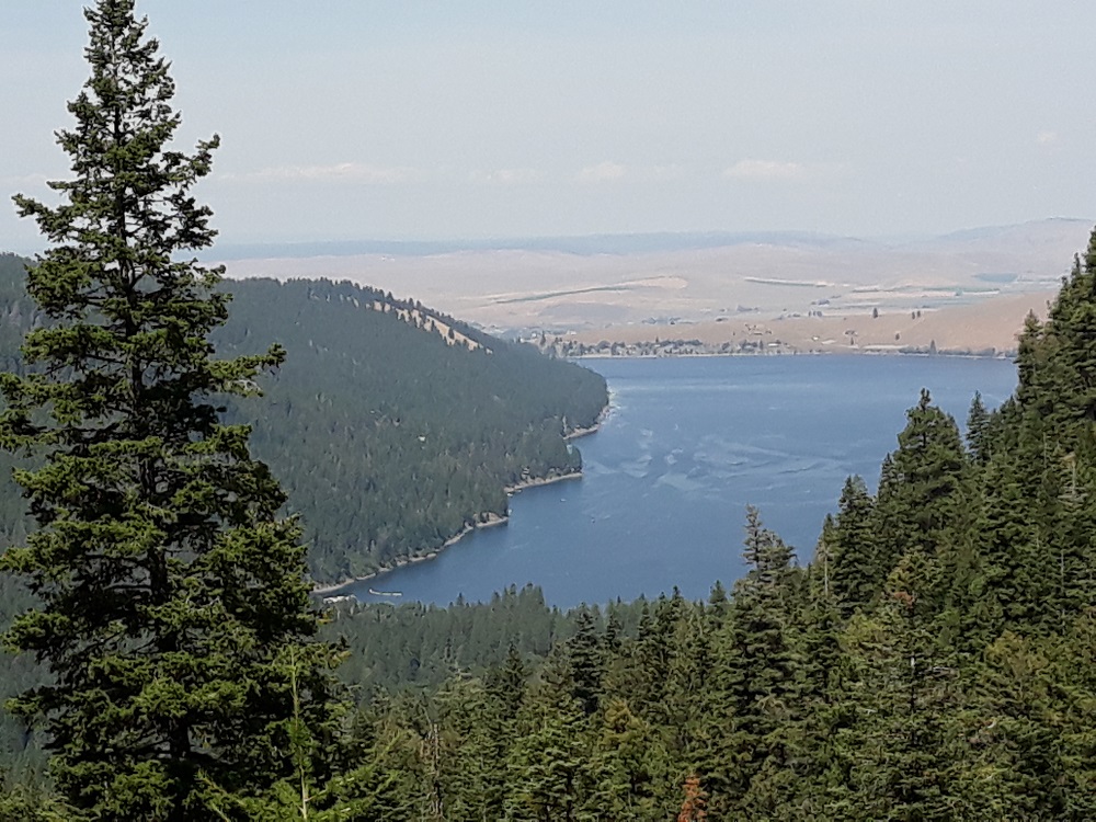
Looking back at Wallowa Lake from just above the trailhead
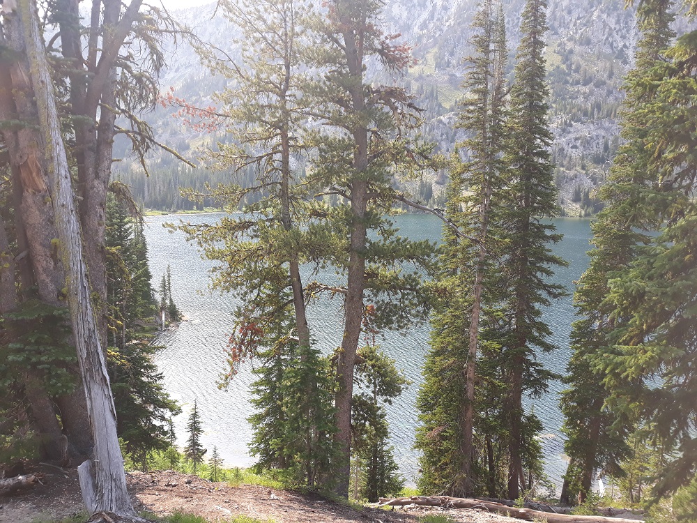
Six miles in, looking at Aneroid Lake through the trees
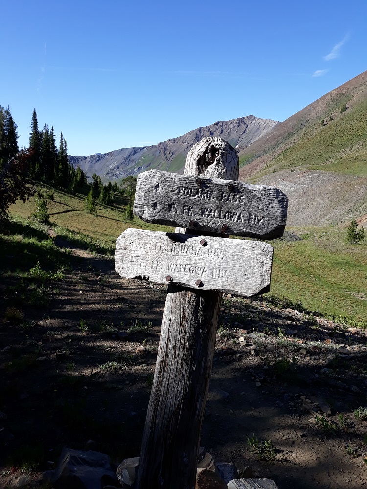
Looking back on the trail leading up to Polaris Pass from the north, Aneroid Mtn in the background
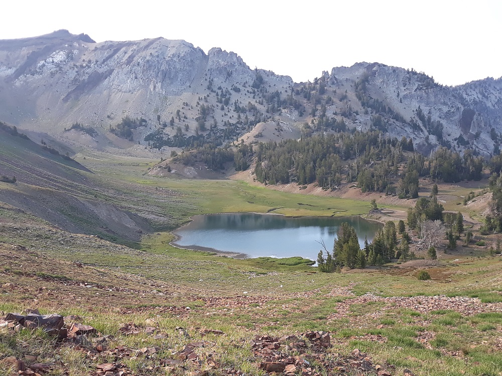
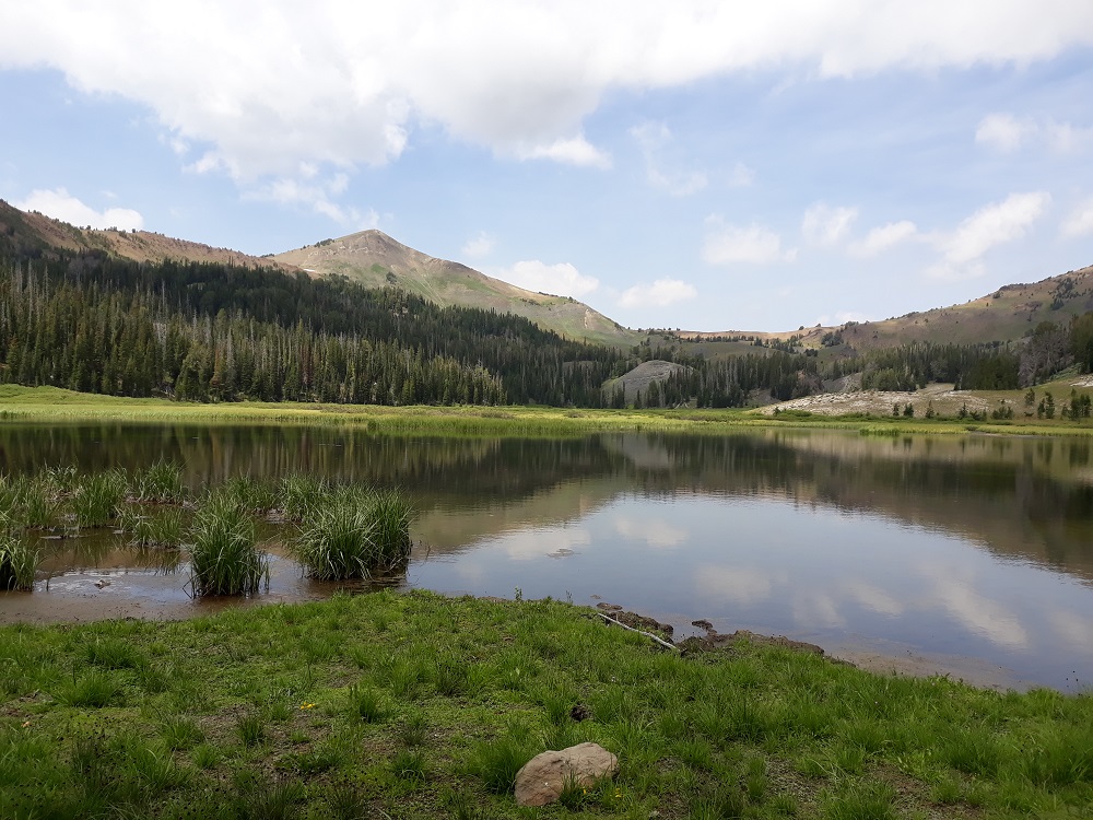
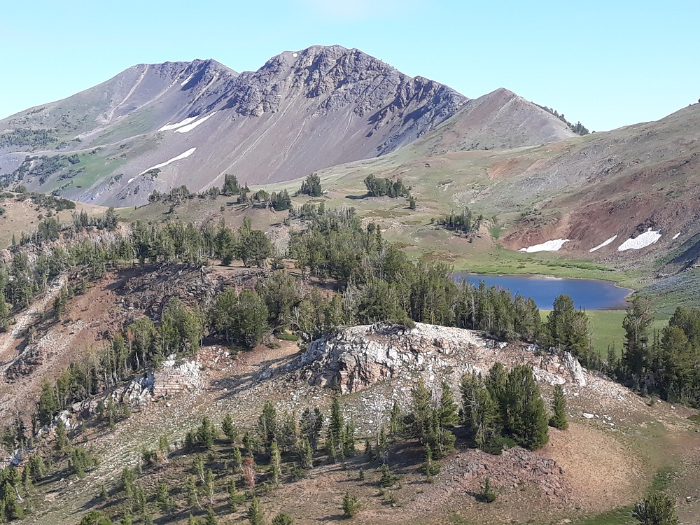
After eight miles and 3900 feet of gain, Jewett Lake, my destination for three nights
The next day I headed out for a long dayhike loop on the Imnaha Divide and Bonny Lakes trails. Looking back at Jewett Lake, my tent is barely visible on the center right.
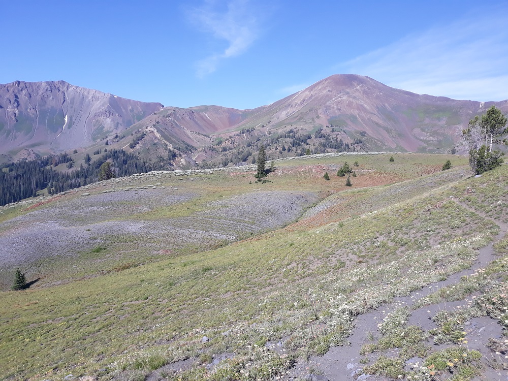
Looking back while on the Imnaha Divide trail, Polaris Pass is the first low point left of the rounded peak
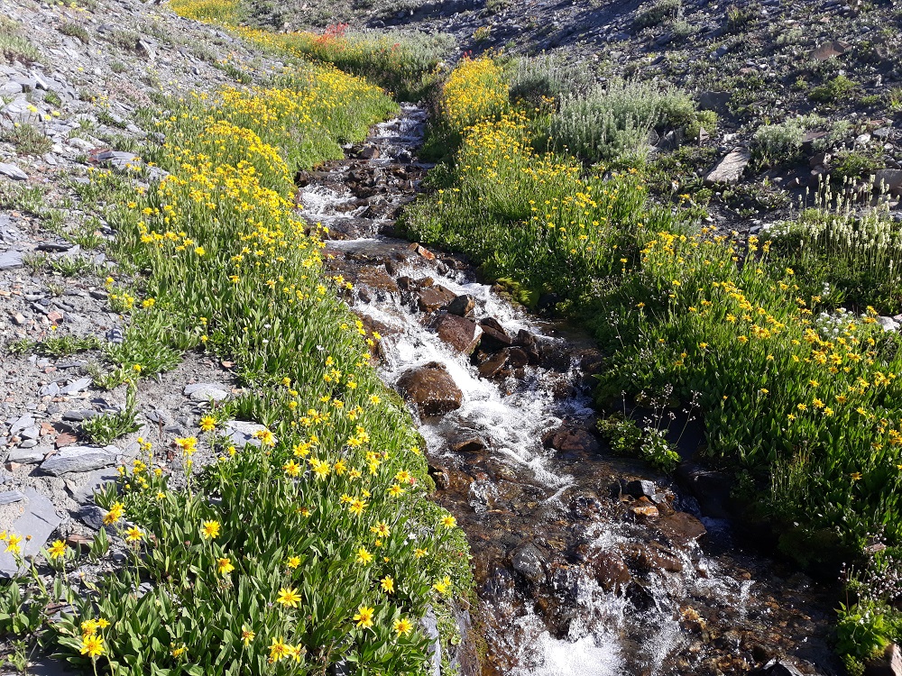
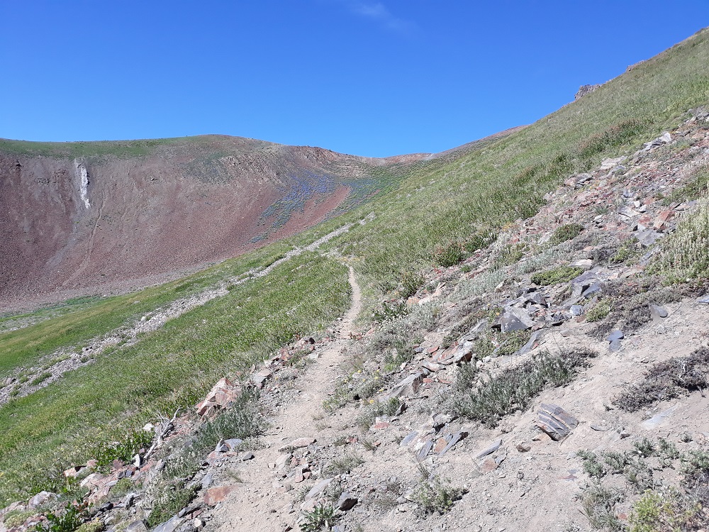
The trail traverses fairly level along the ridge, crossing few creeks, this is one
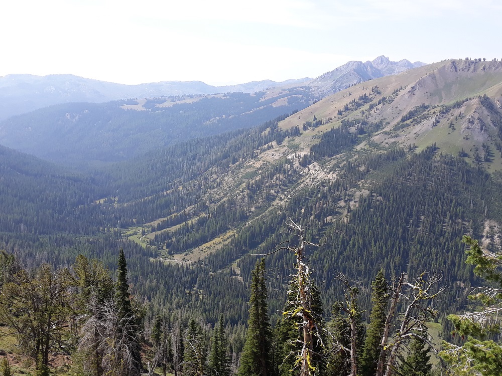
The North Fork of the Imnaha River is below
Eventually you reach the ridge and drop down the other side, where you reach the Bonny Lakes trail
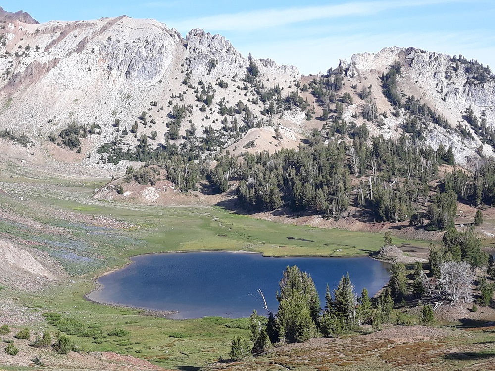
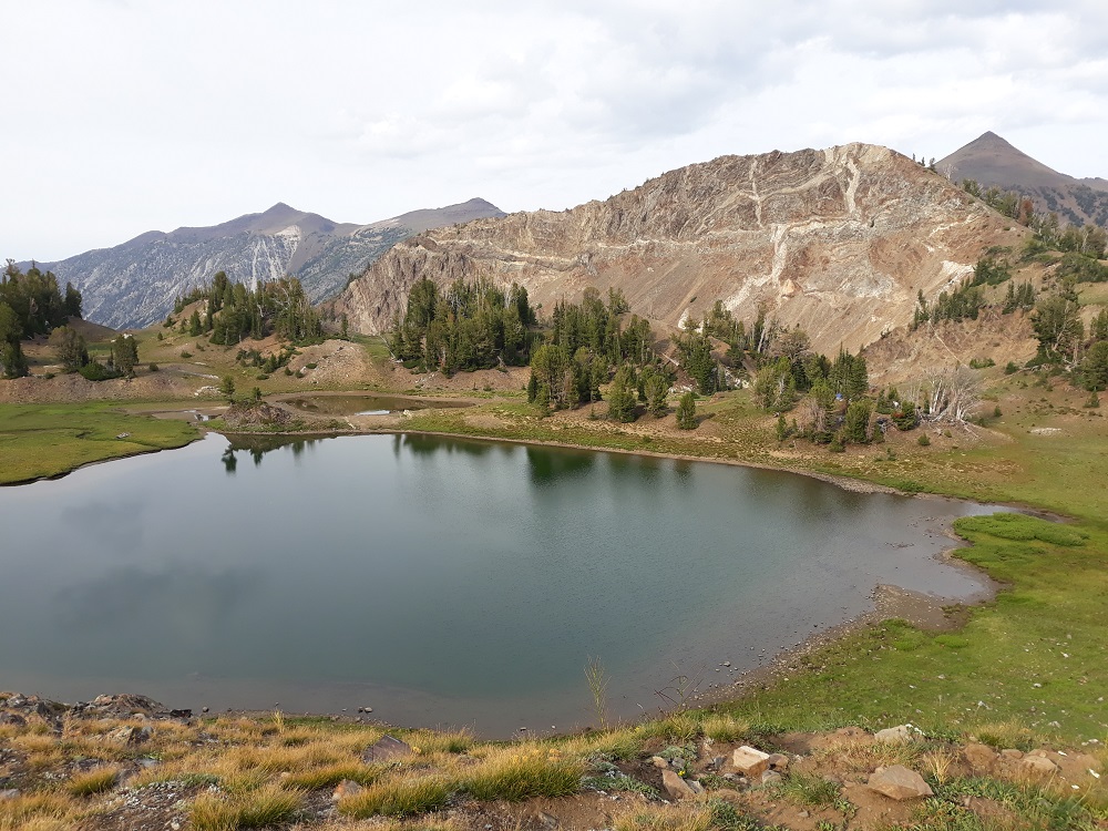
The main Bonny Lake. The flat section on the ridge above is Dollar Pass.
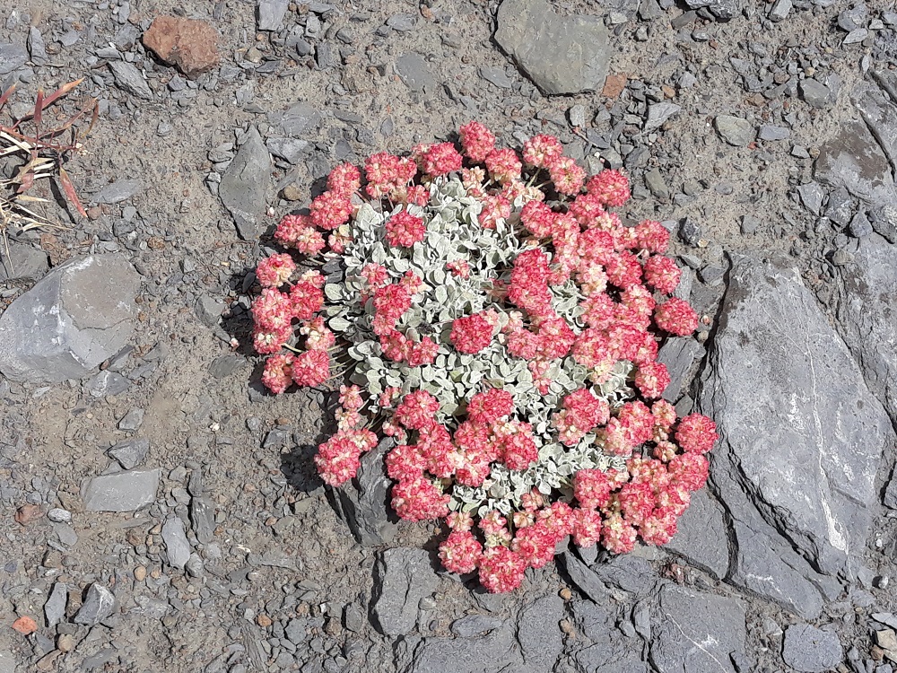
I always see these at high altitude in the Wallowas
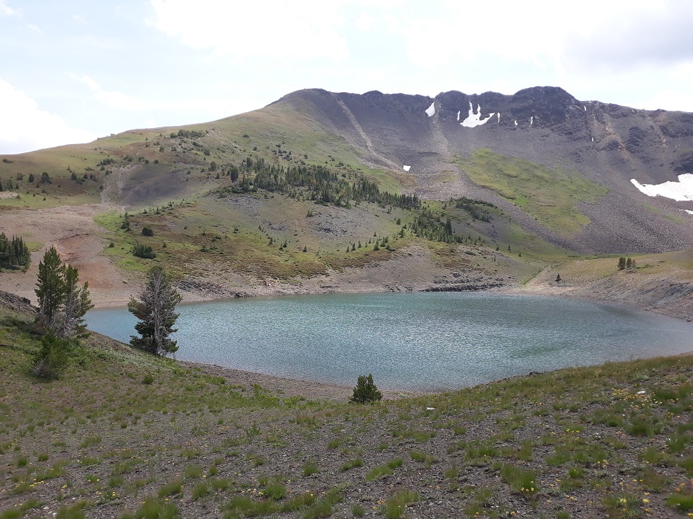
After Dollar Pass, I did a short side trip to see Dollar Lake - and this one ain't no puddle
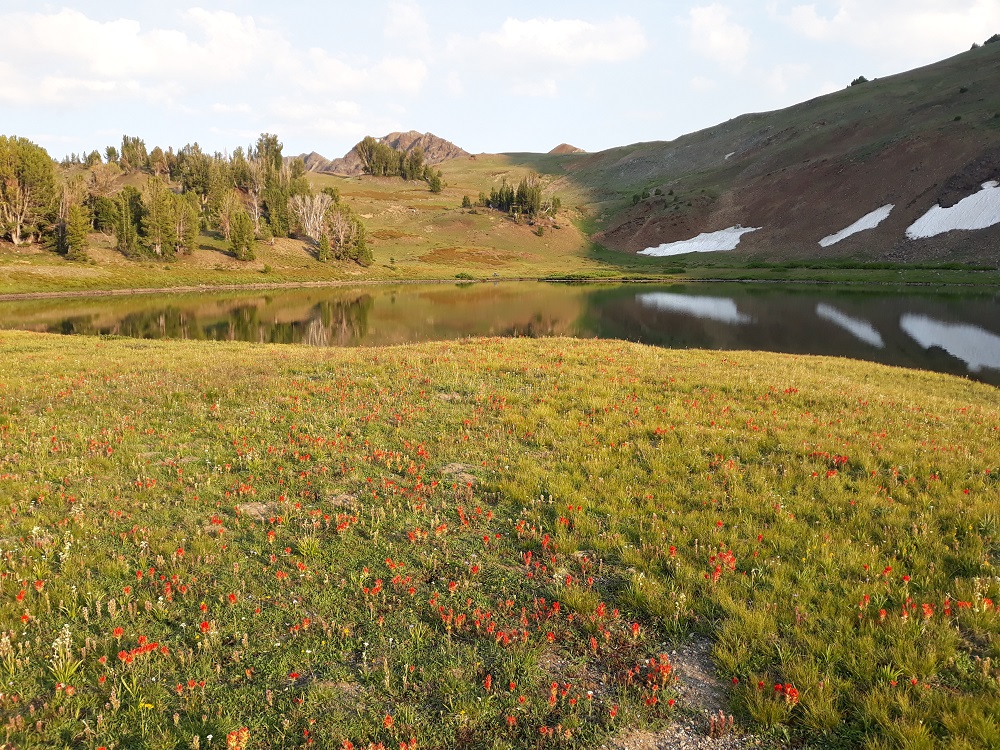
Back at Jewett Lake, yet another view
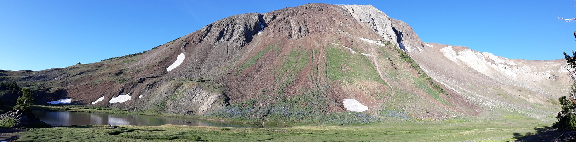
A panorama of Pete's Point from the north with Jewett Lake
On the next day, since I decided to camp there the third night, I dayhiked to Polaris Pass, since I heard it had a view
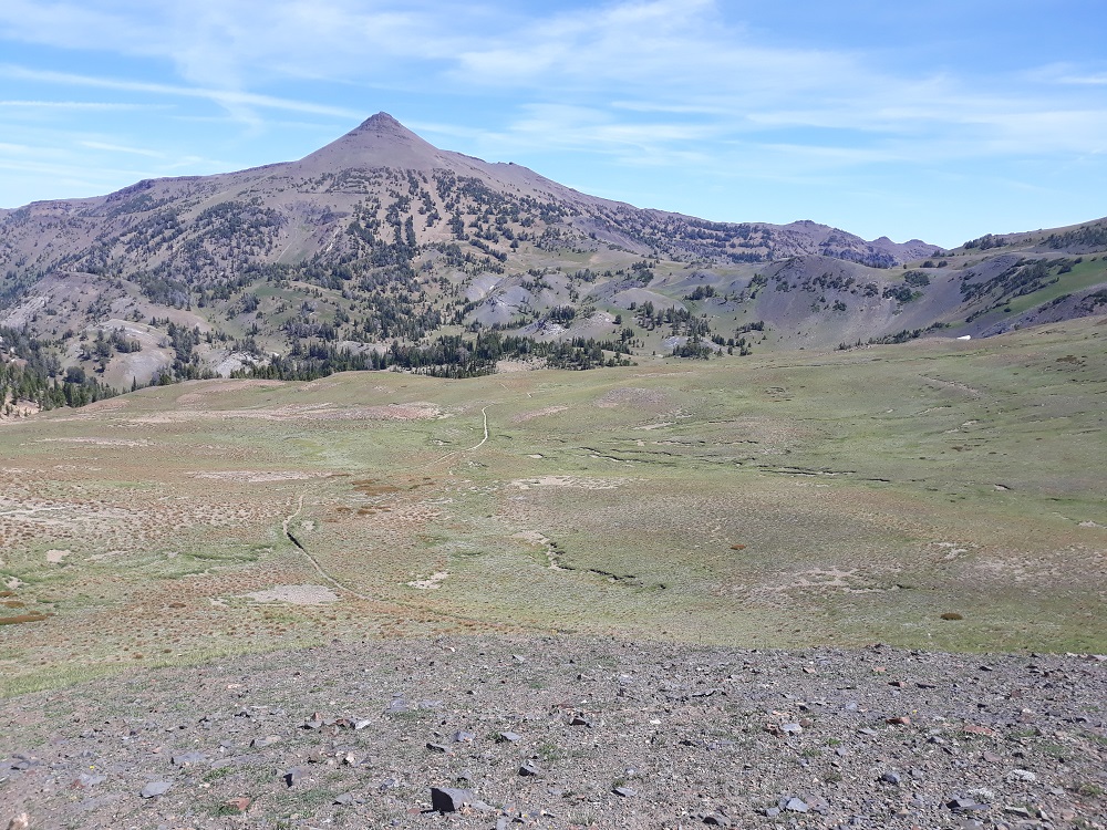
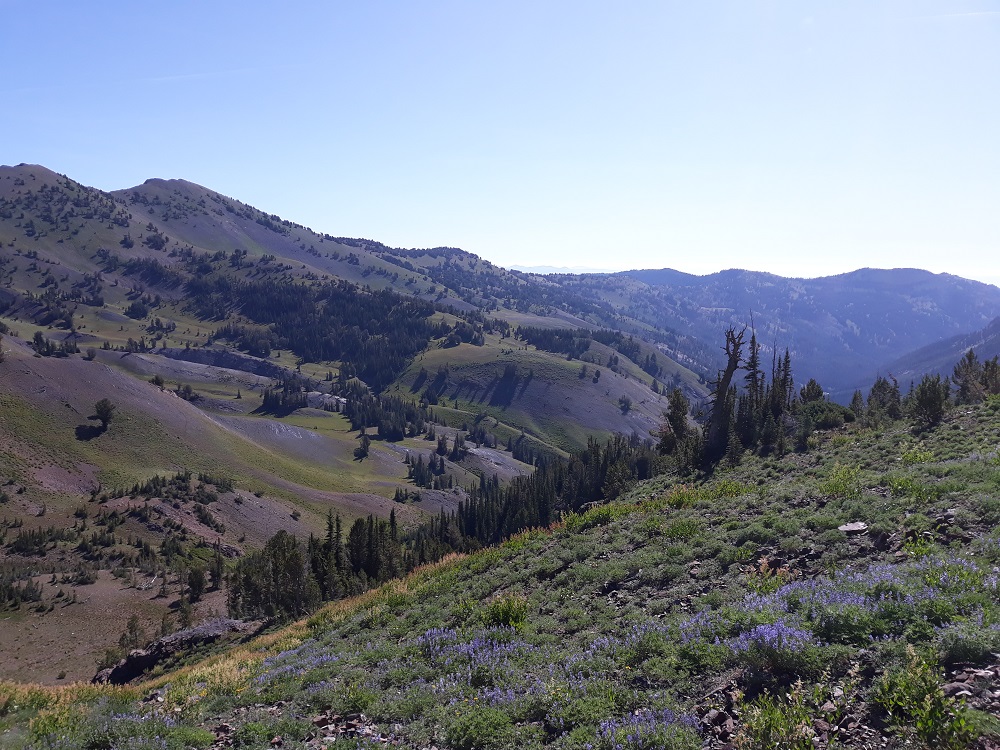
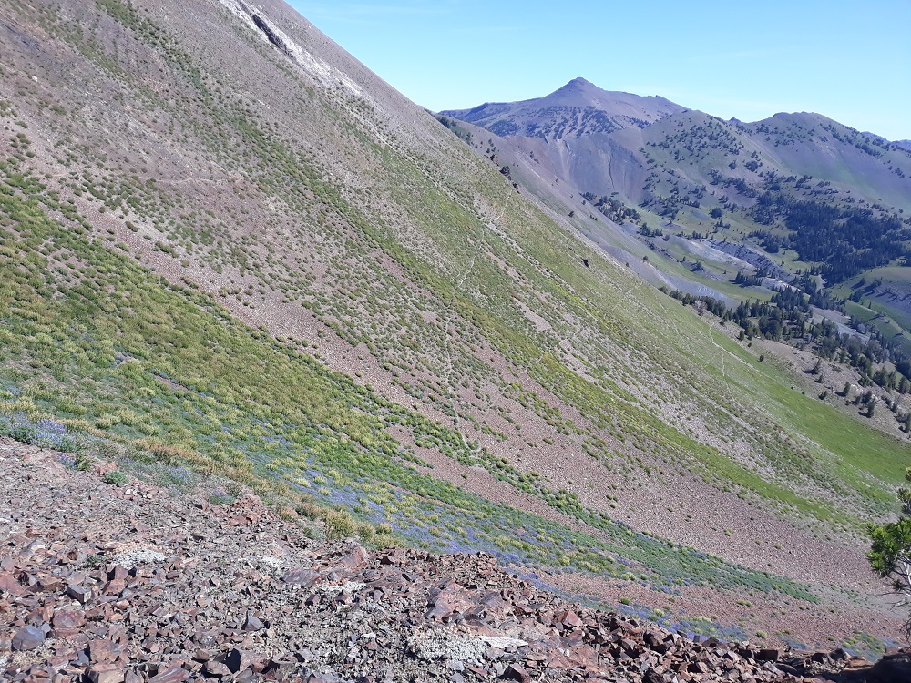
Looking along the Imnaha Divide, yesterday's trail followed that bench and eventually the ridge line
The very level switchbacks heading up to Polaris Pass
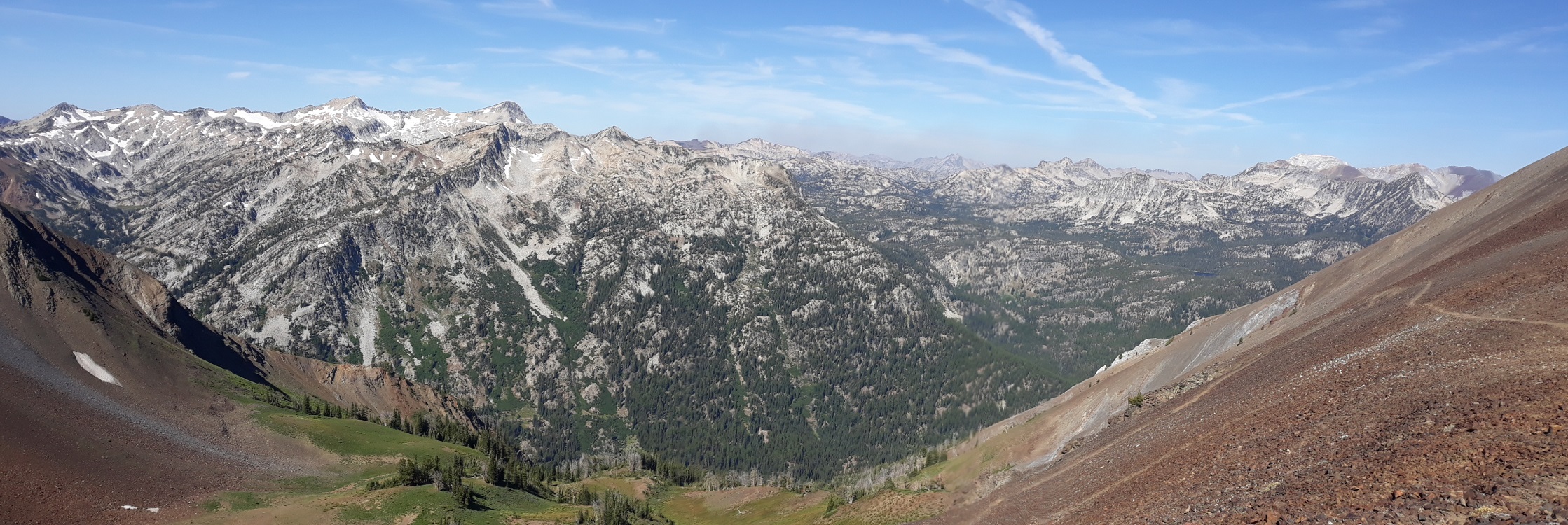
The view from the pass, from the "Red Wallowas" looking into the "White Wallowas". Glacier Peak and Eagle Cap dominate.
The trail at Polaris Pass. I had hoped to hang out here a long time, but it was too windy to comfortably hang out.
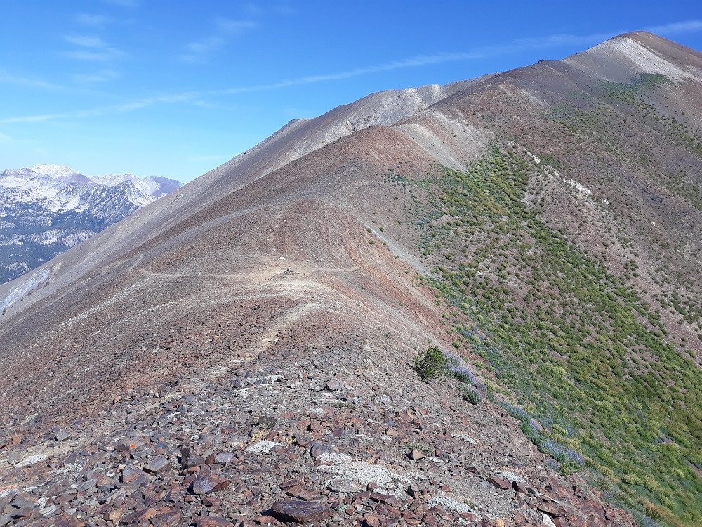
There are those switchbacks, the level type so common in the Wallowas
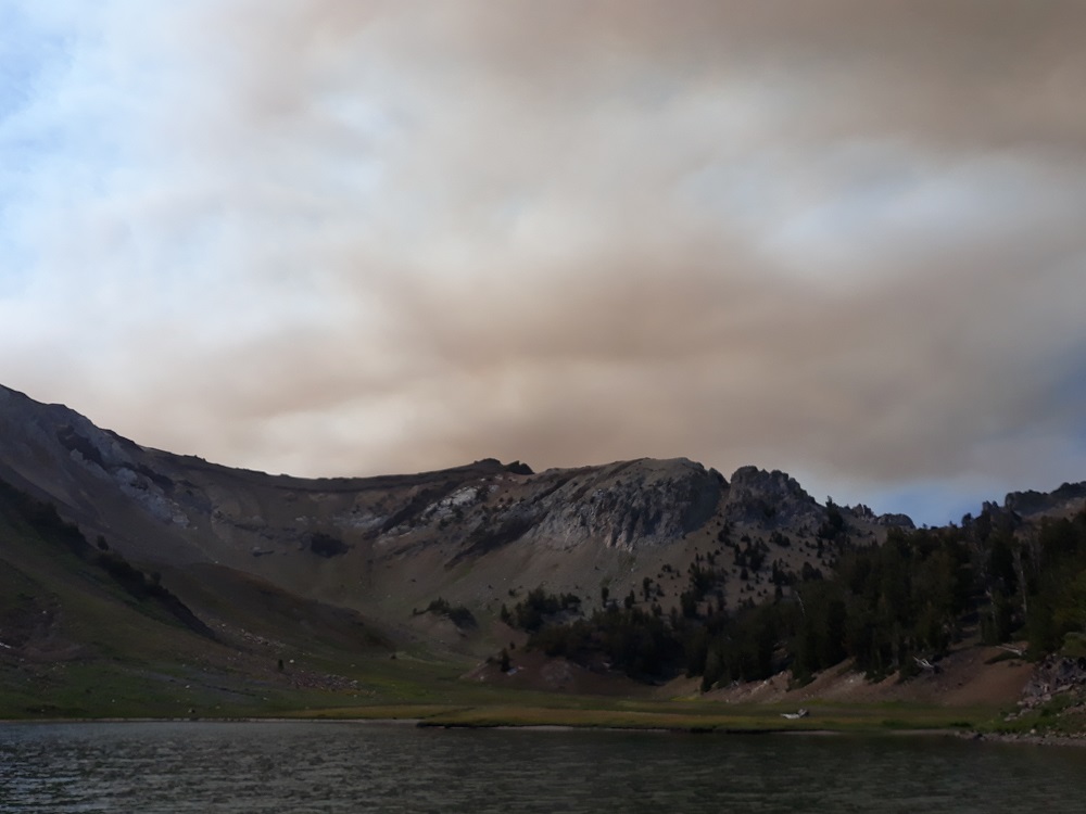
Back at Jewett Lake that afternoon, smoke from the Granite Creek fired appeared suddenly and alarmingly. Of course I had no idea where it was. It dissipated in a couple hours.
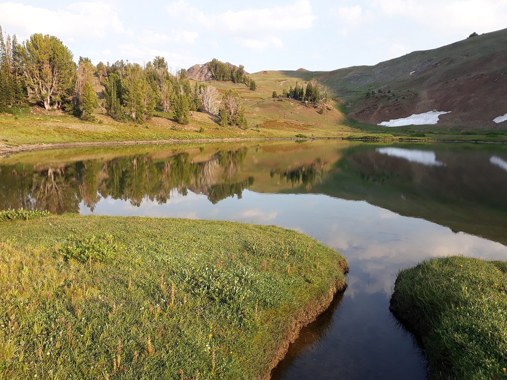
That afternoon I explored up valley from Jewett Lake, for yet another great viewpoint
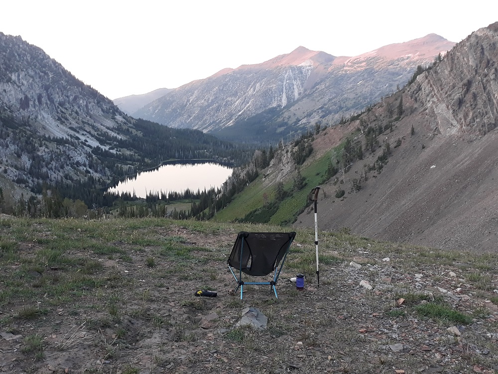
Closing shot - does it get any better than this? About 200 yards behind my camp through a notch was a perfect view of all of Aneroid Lake below and surrounding terrain. Even a remaining snowbank to cool my favorite beverage. What a way to watch the stars come out.