
The south side of Eagle Cap is (was?) the less visited part, quieter and more remote than the popular destinations to the north. I went in via Main Eagle to West Eagle in 2014, and via Cornucopia in 2015, but I'd never been to East Eagle, which lies between them. Pro-tip: do not follow Google's directions to the E Eagle TH. I was too preoccupied with getting food and gear prepped and forgot to double check the directions on the USFS page; they have you drive Sparta Ln to FR-7015, which heads east to catch NF-77. For some asinine reason probably having to do with "shorter distance," Google would like you to drive over FR-7020, which threads the needle straight north along a very narrow, windy, and rocky road that I was safely able to drive in a Subaru while gritting my teeth that I didn't pop a tire and that the road actually connected without washing out or hitting a cliff or something. Do not follow the Google directions. NF-77 and FR-7745 (which leads to the TH), in contrast, are very nicely graded smooth gravel and are suitable for any passenger car.
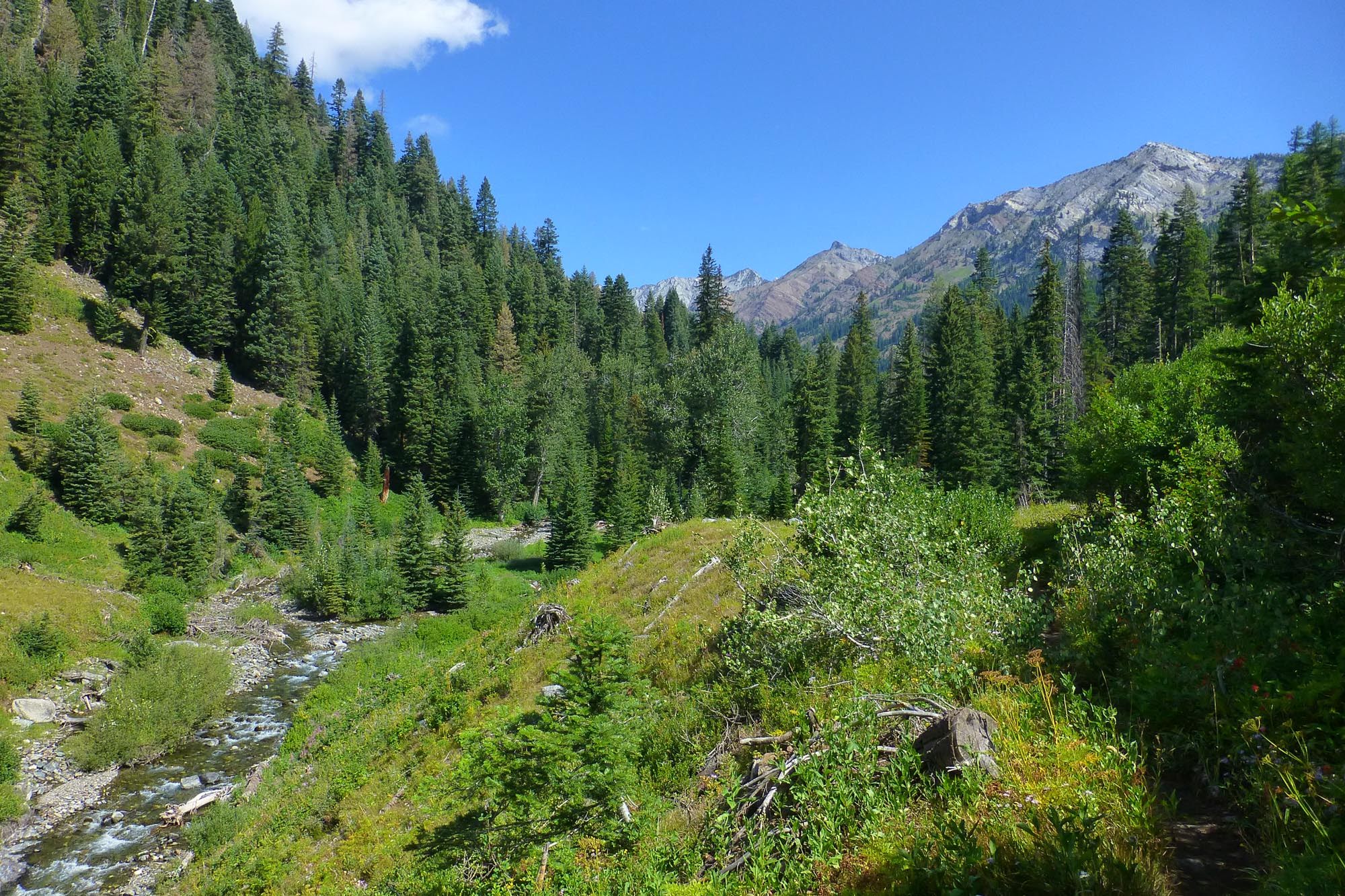
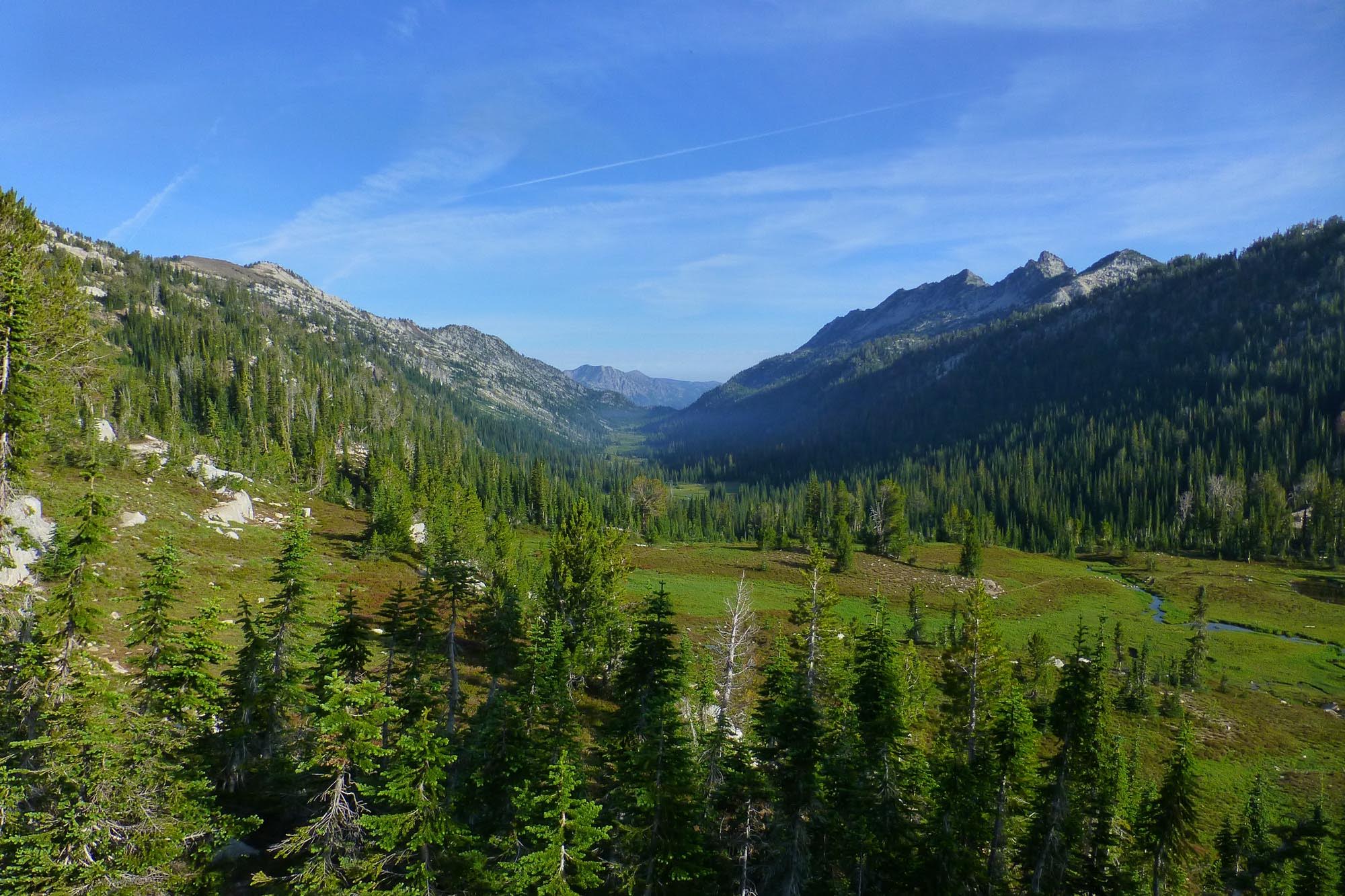
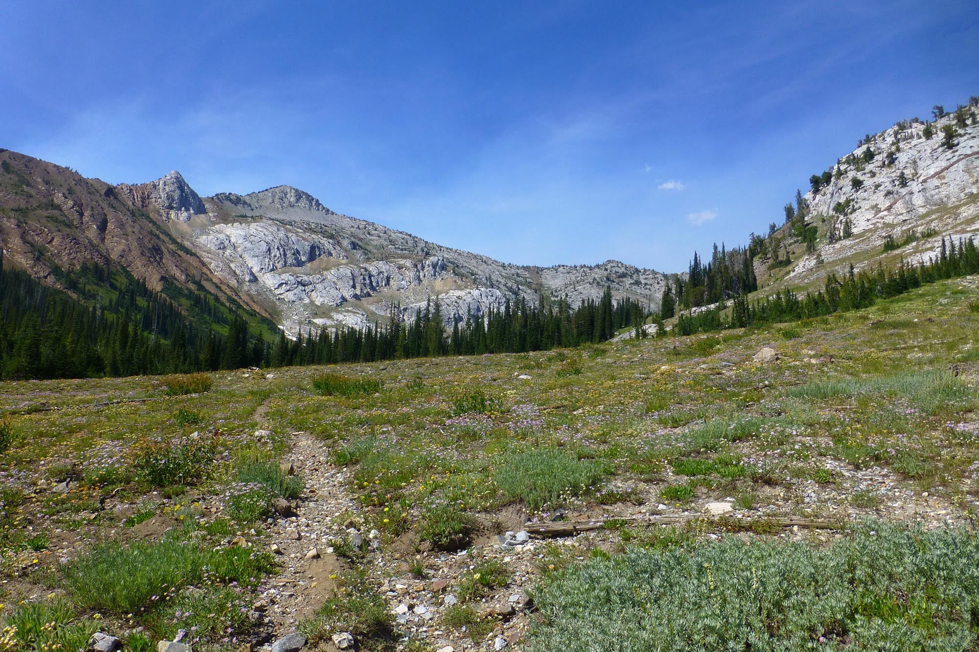
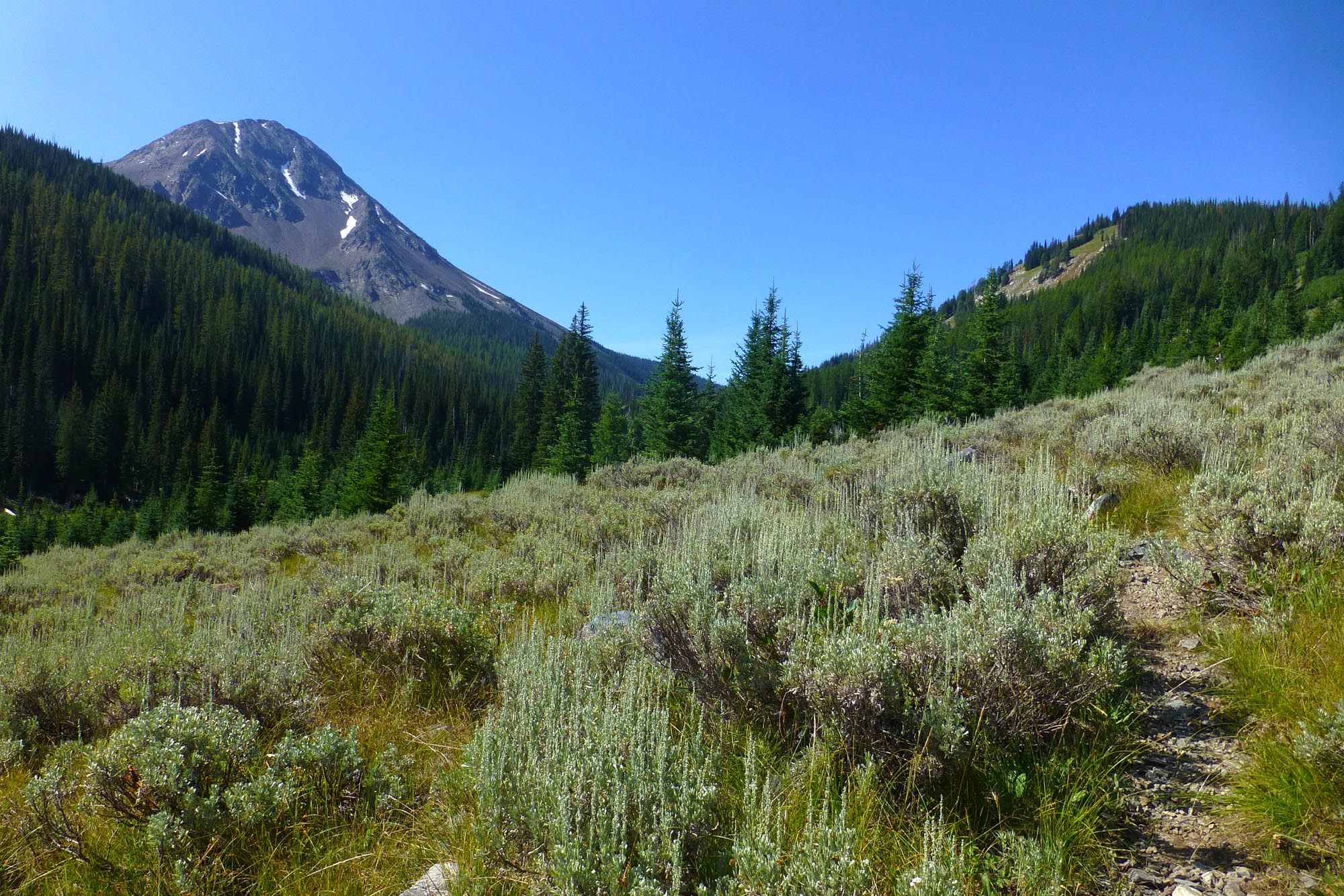
Anyhoo, after a bit of white-knuckle forest road driving, I got to the trailhead around dinnertime Sunday the 11th and bivied in my car. The next morning I started up the East Eagle trail, which at follows an old roadbed along the river.


The trail very inobviously turns off the road to the right just before this gated bridge.


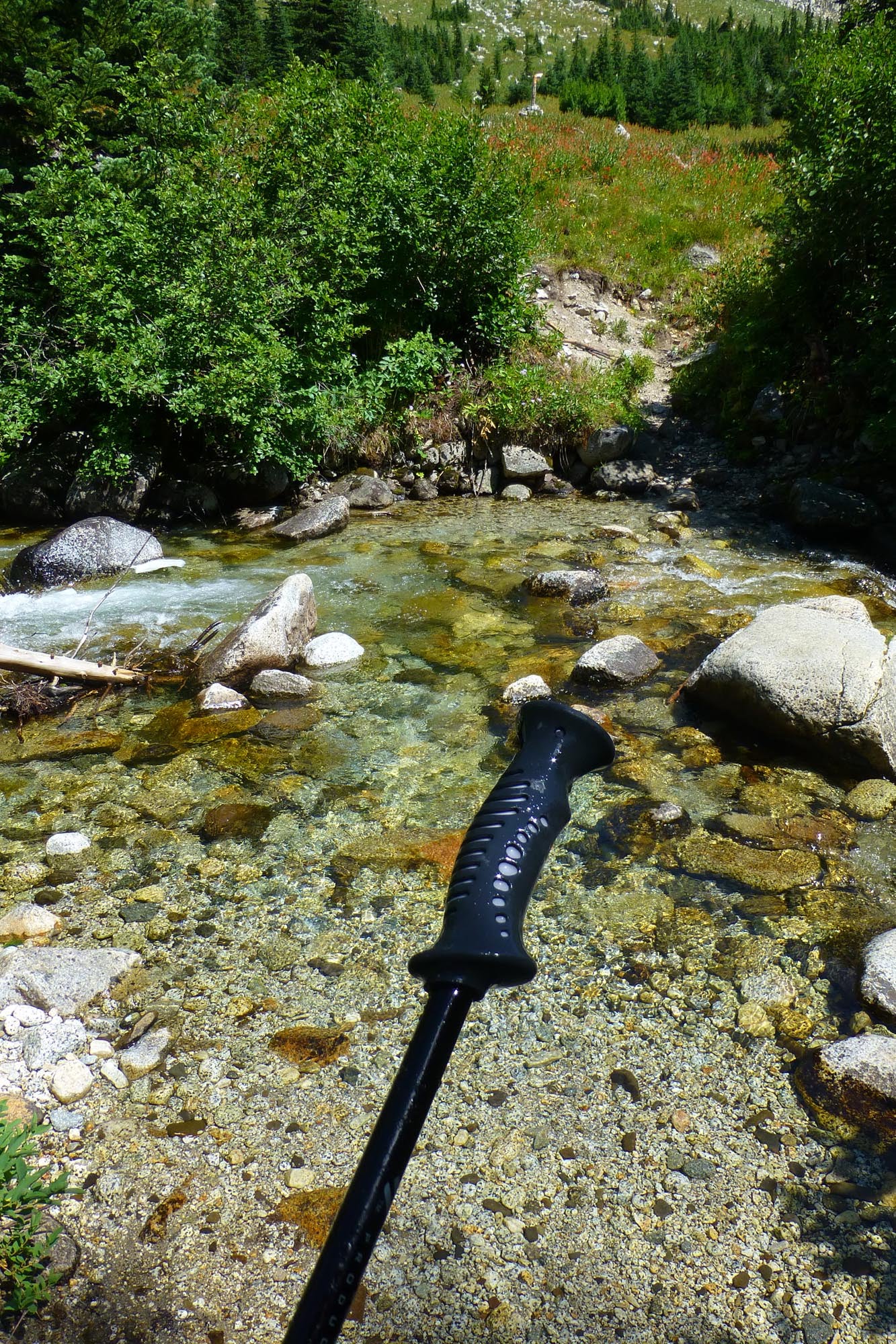
I crossed East Eagle Cr at an unmarked junction, and found this lost trekking pole lodged against some rocks underwater. As I didn't want to carry it for the rest of the week, I left it on the far bank for some other person to use as a crossing aid and then hopefully pack out.
Tiny Moon Lake
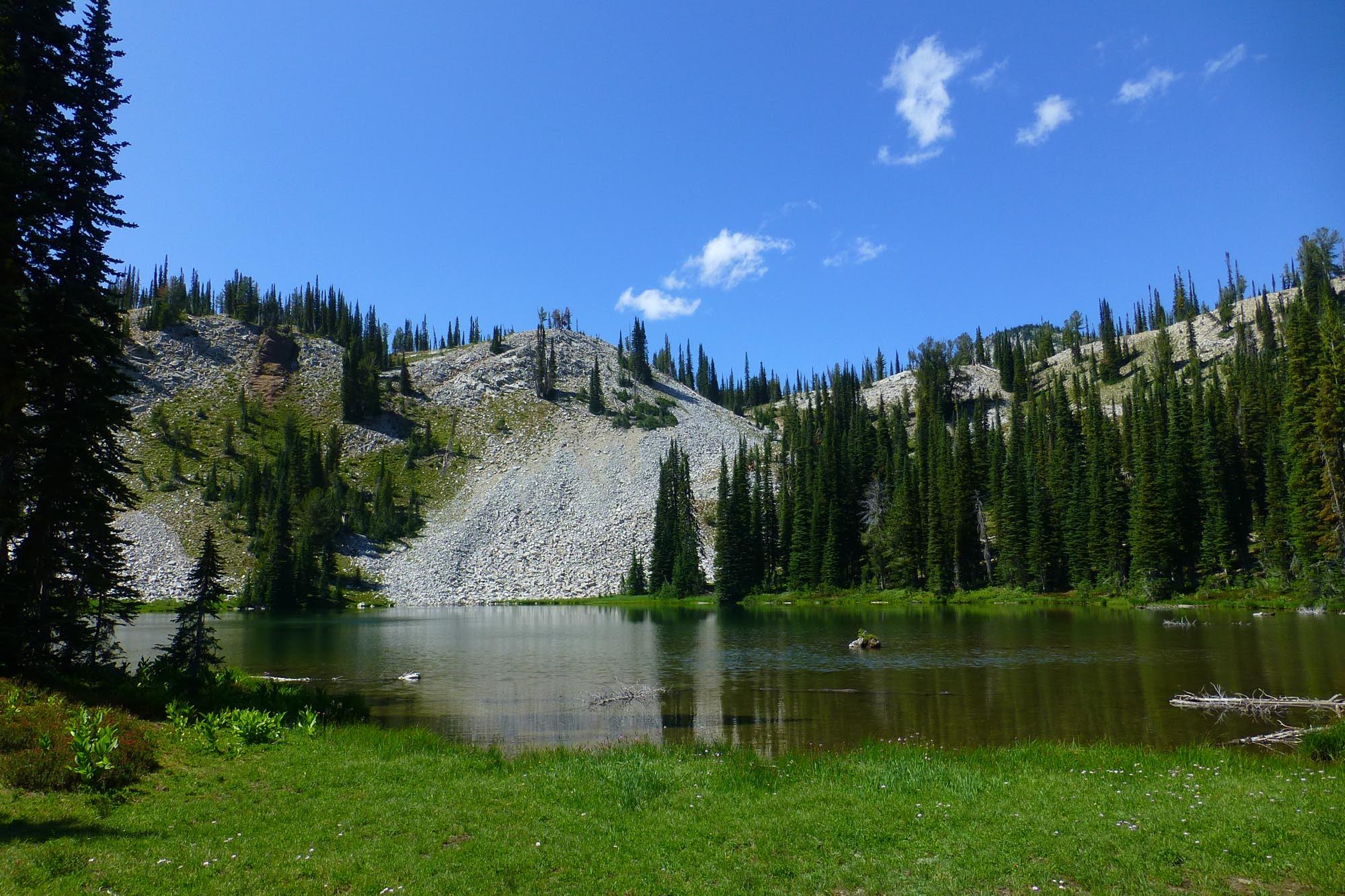
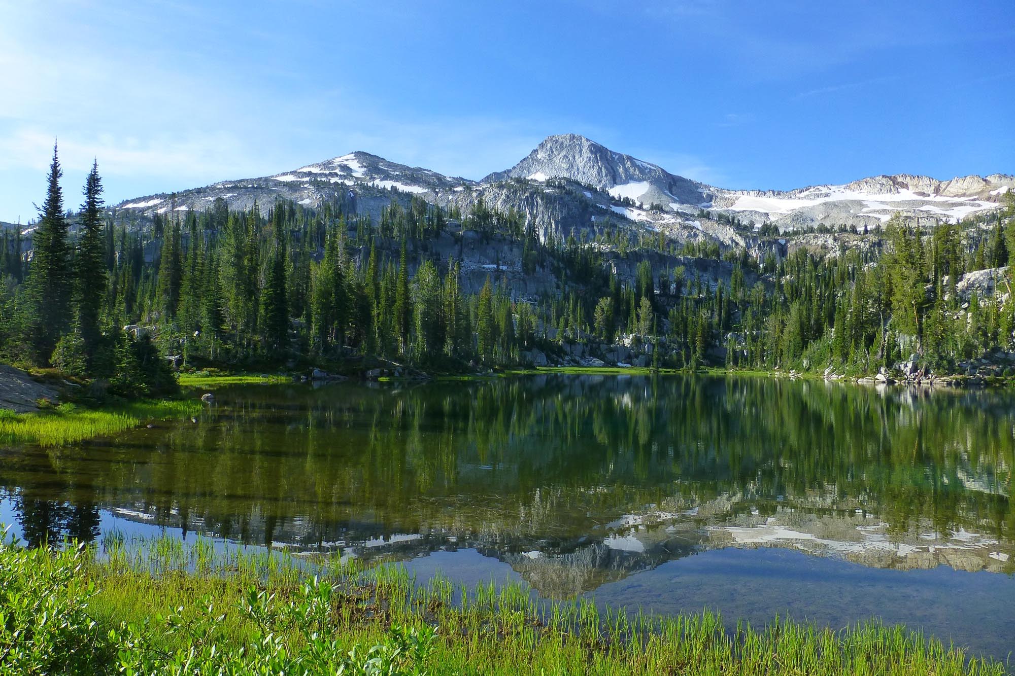
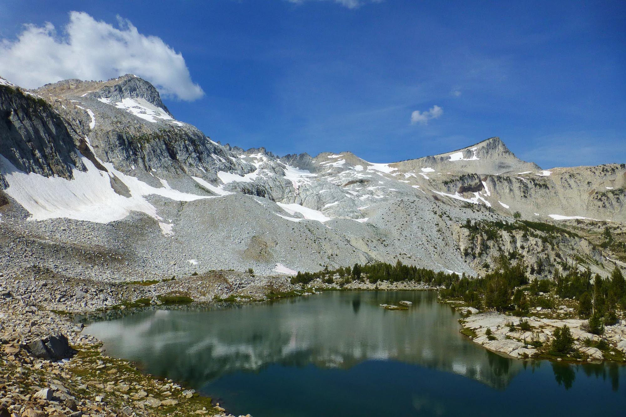
Hidden Lake (a little true to its name, it's hard to see whether it's up or down from the trail - it's down)

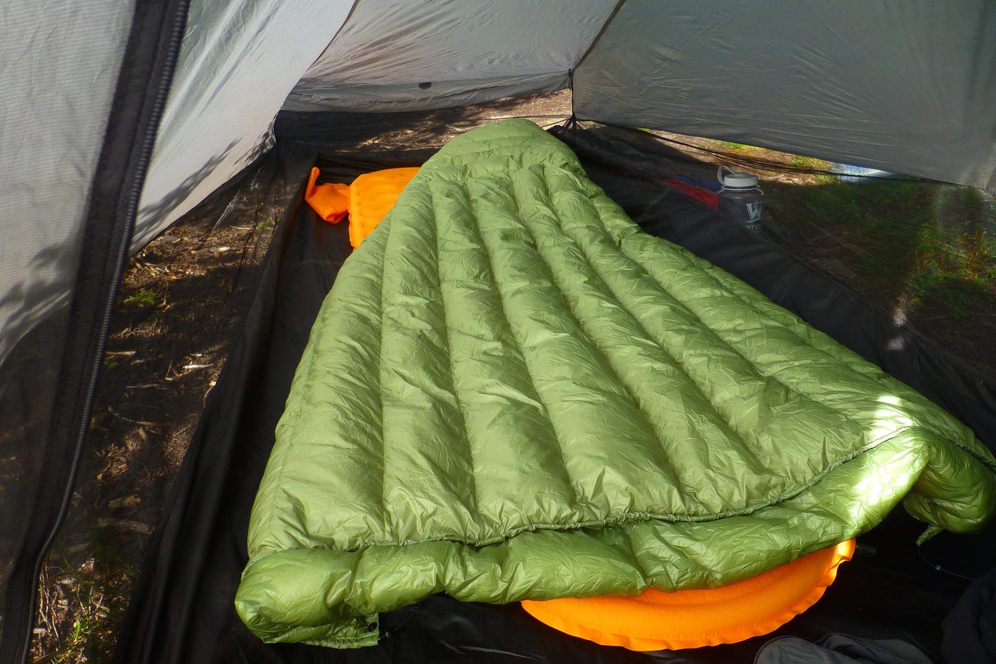
This was my first backpacking test of my new custom UGQ Bandit quilt.
That evening, a group of 6 high school or college students showed up and took the next site a couple hundred yards up the lake in some trees. They they proceeded to gather seemingly every piece of downed wood in the forest and build a fire and yell and guffaw loudly until past 9:30pm. Ugh.
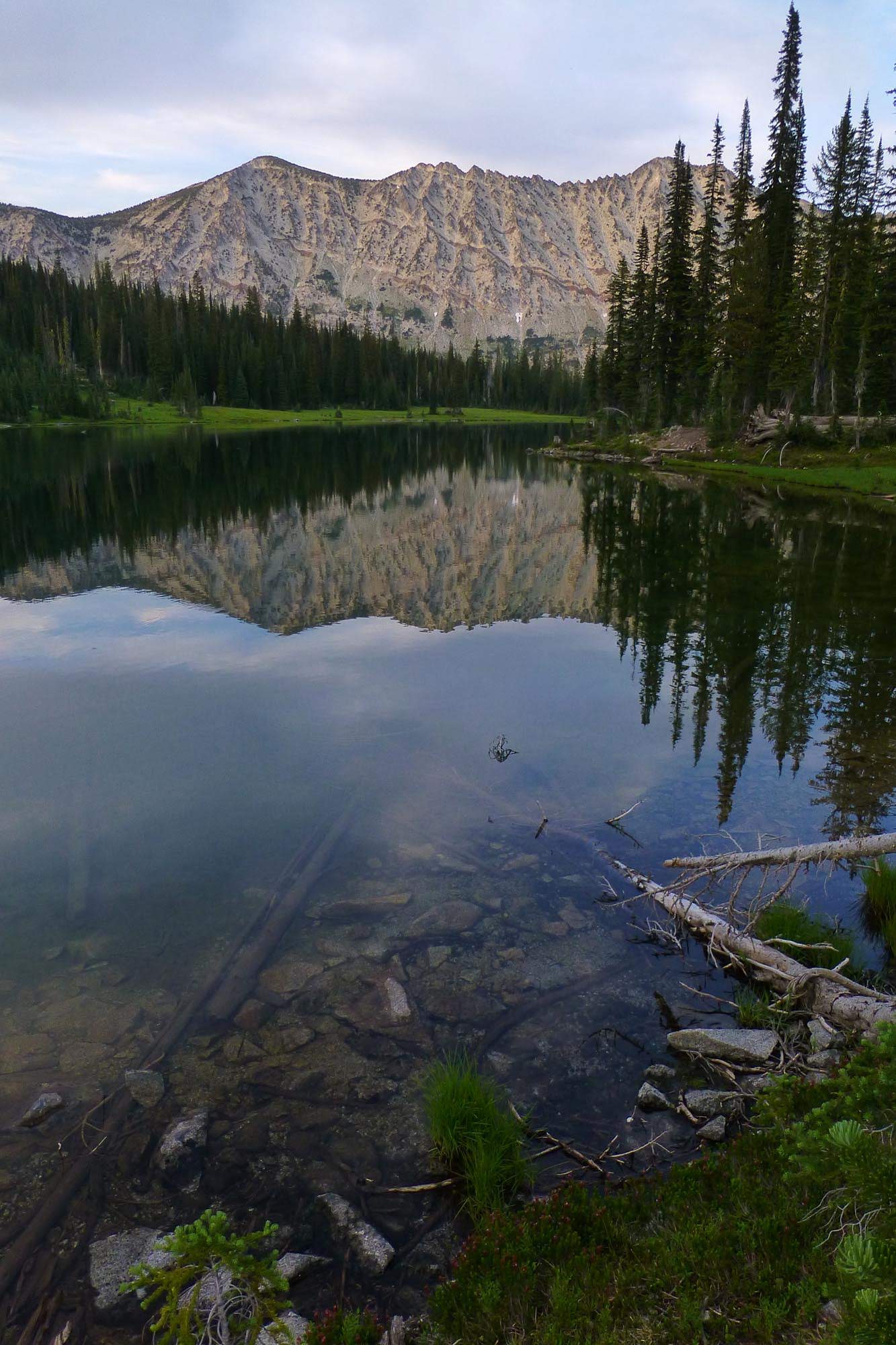
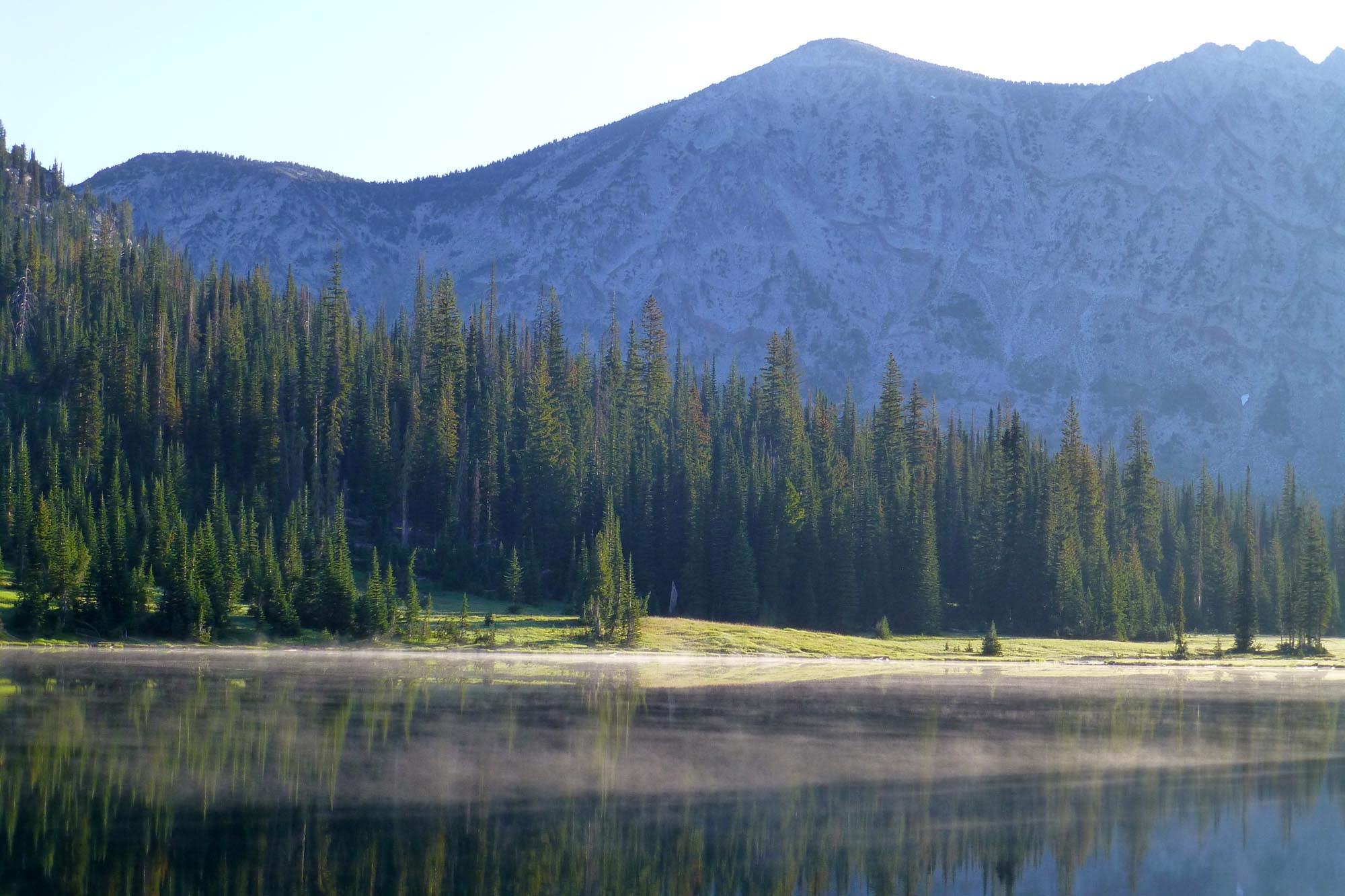
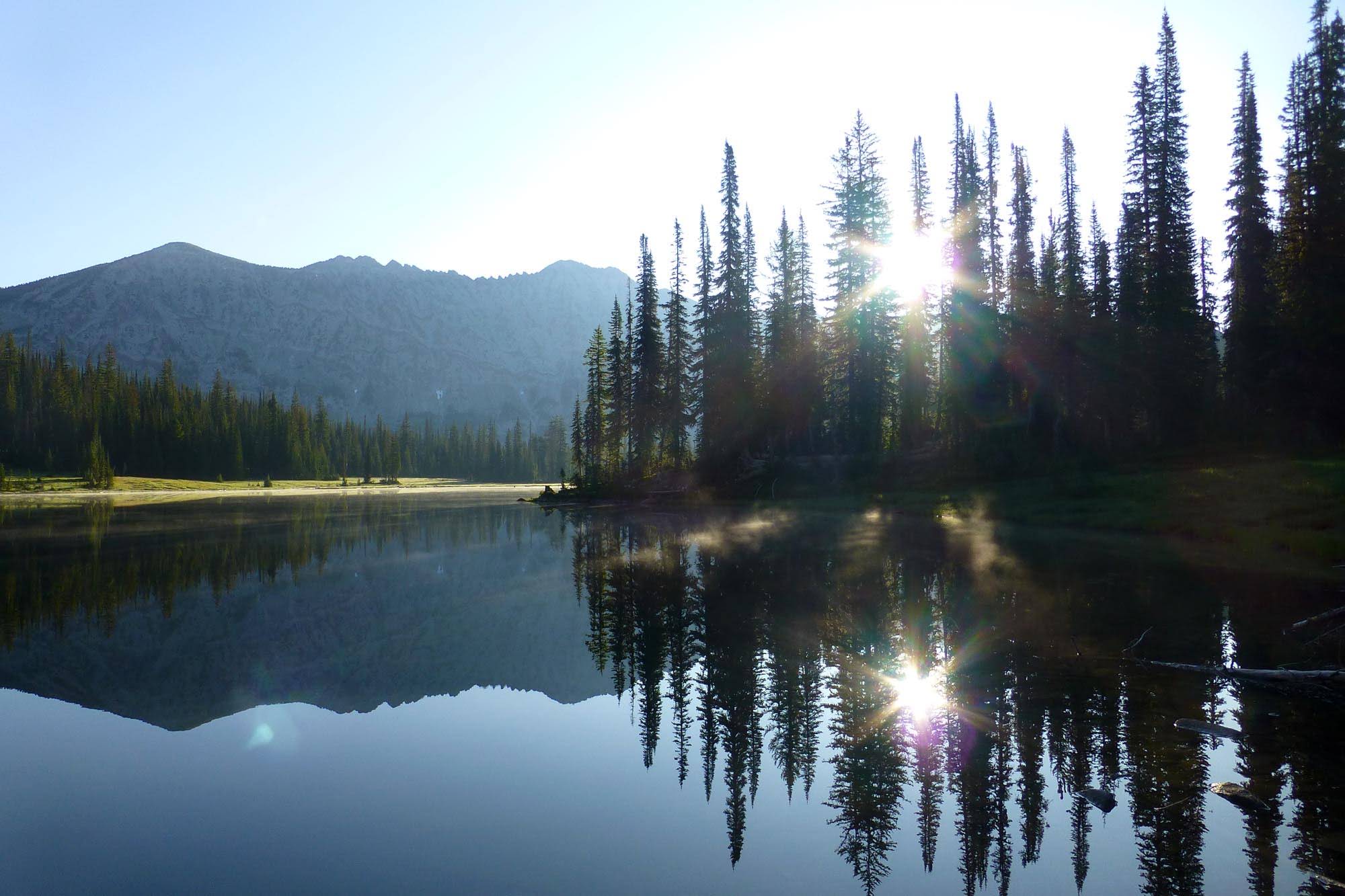
The first night was the coldest of the trip - my watch read 40º in the morning. There was mist (steam?) on the surface of the lake.
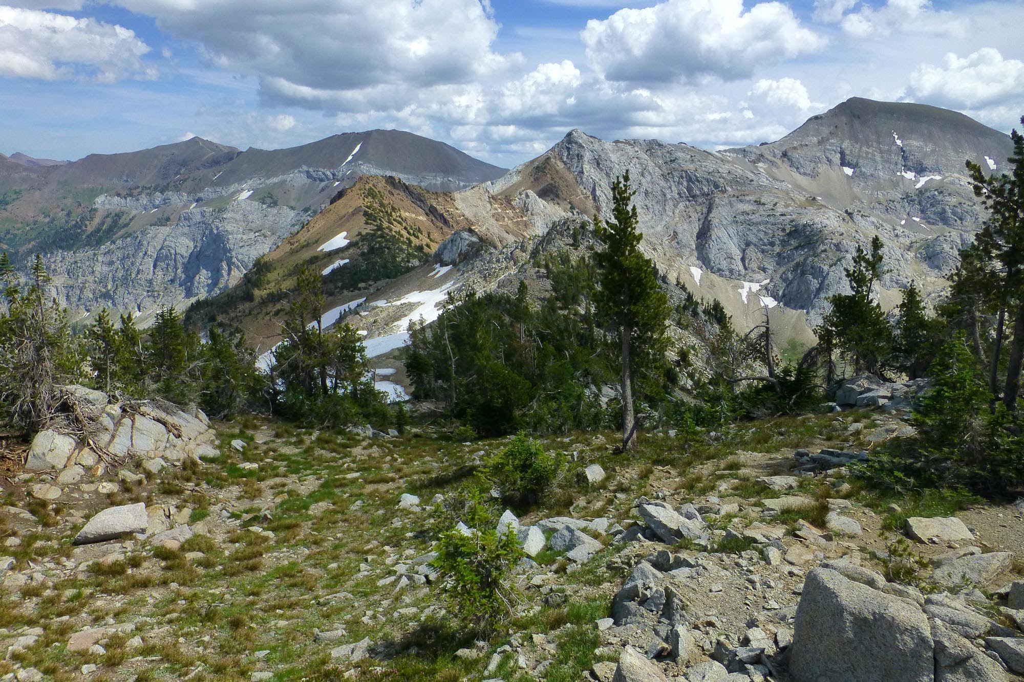
I didn't want to backtrack down to Eagle Creek, only to have to go back up to Frazier Pass, so I cut off trail around north from the lake. I ended up going high up onto the shoulder that juts out from the ridge above; don't try this, as it forces you to climb to the top of the ridge to avoid cliffs, putting you higher than the pass and forcing a long talus crossing to connect. From the end of the lake, you'd instead want to trend a few hundred feet down to try to catch the trail to the pass.
Looking back to the bowl with Hidden Lake from the off trail portion
The pass is now below me, d'oh

Looking back at the endless talus crossing

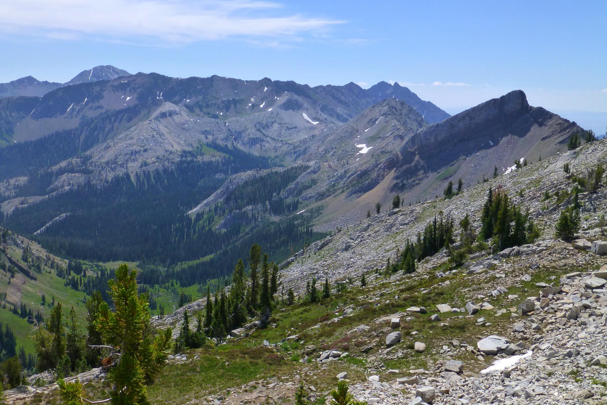
Once at Frazier Pass, I dropped down to the Minam drainage

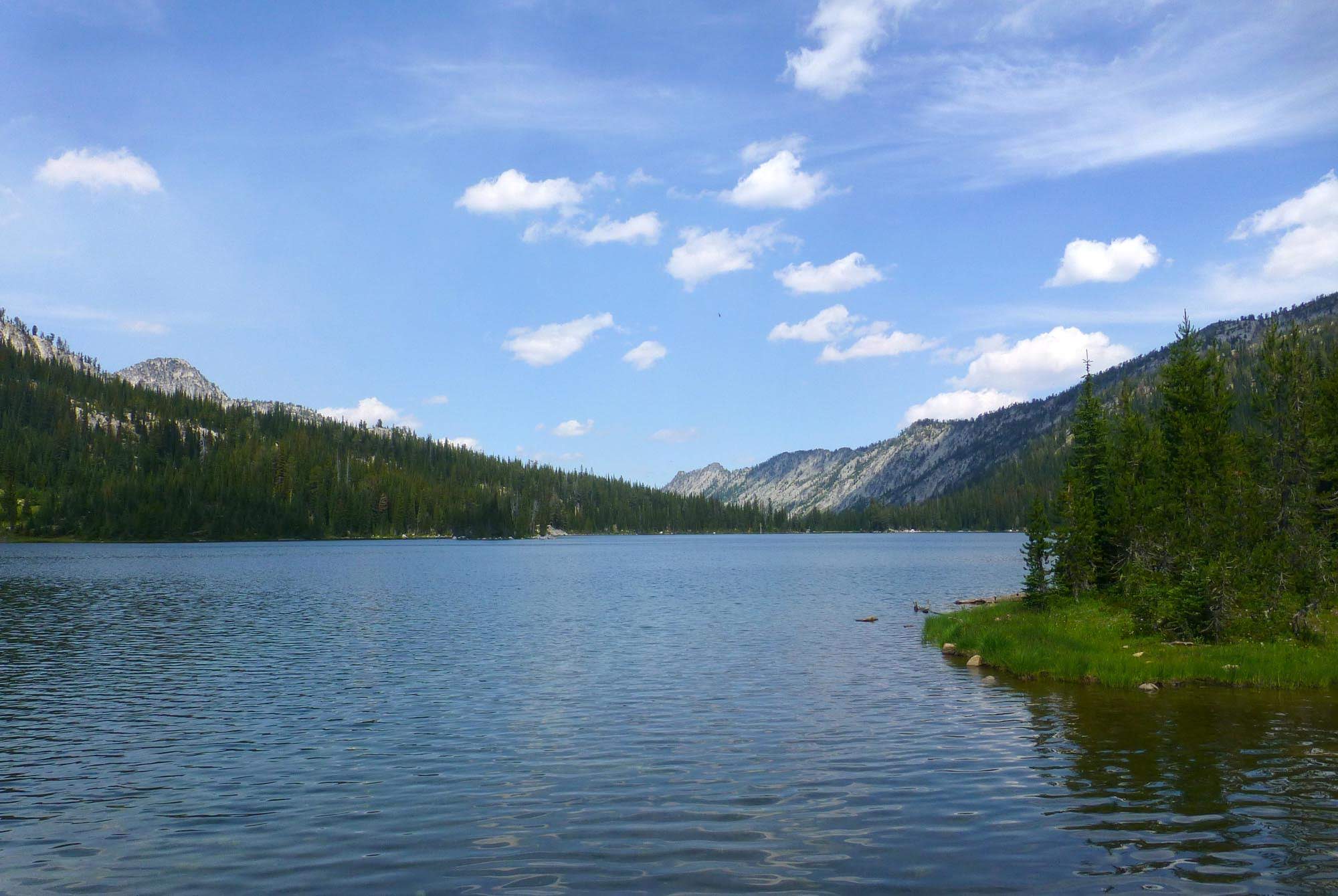
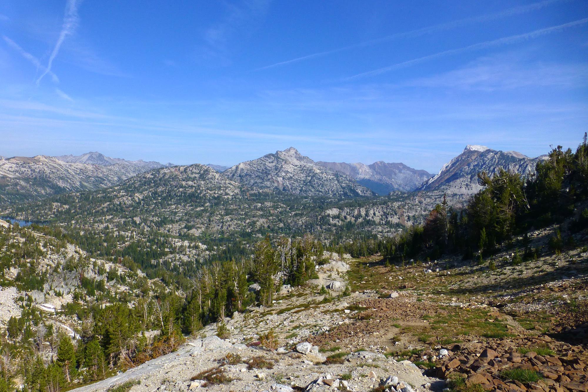
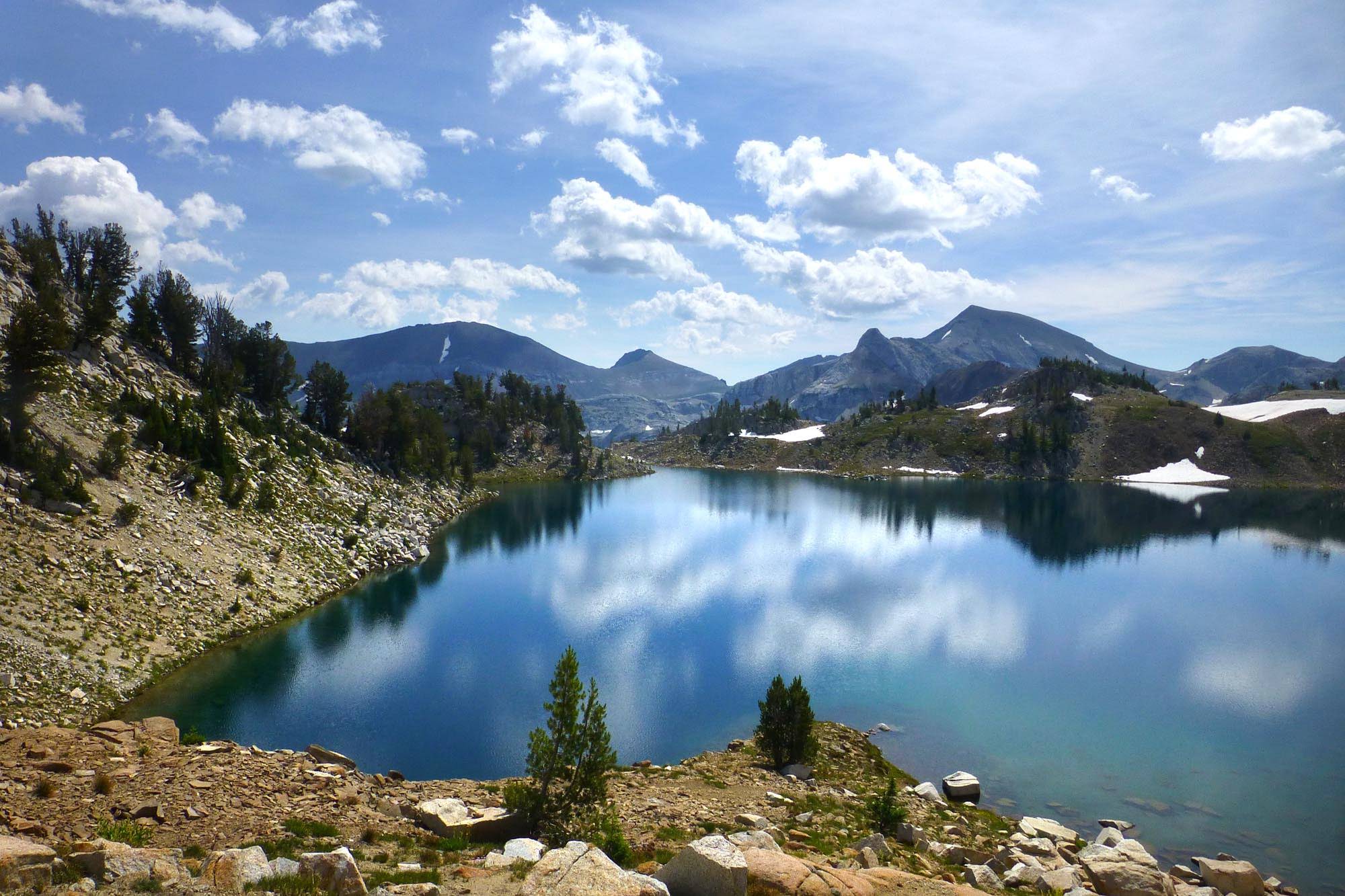
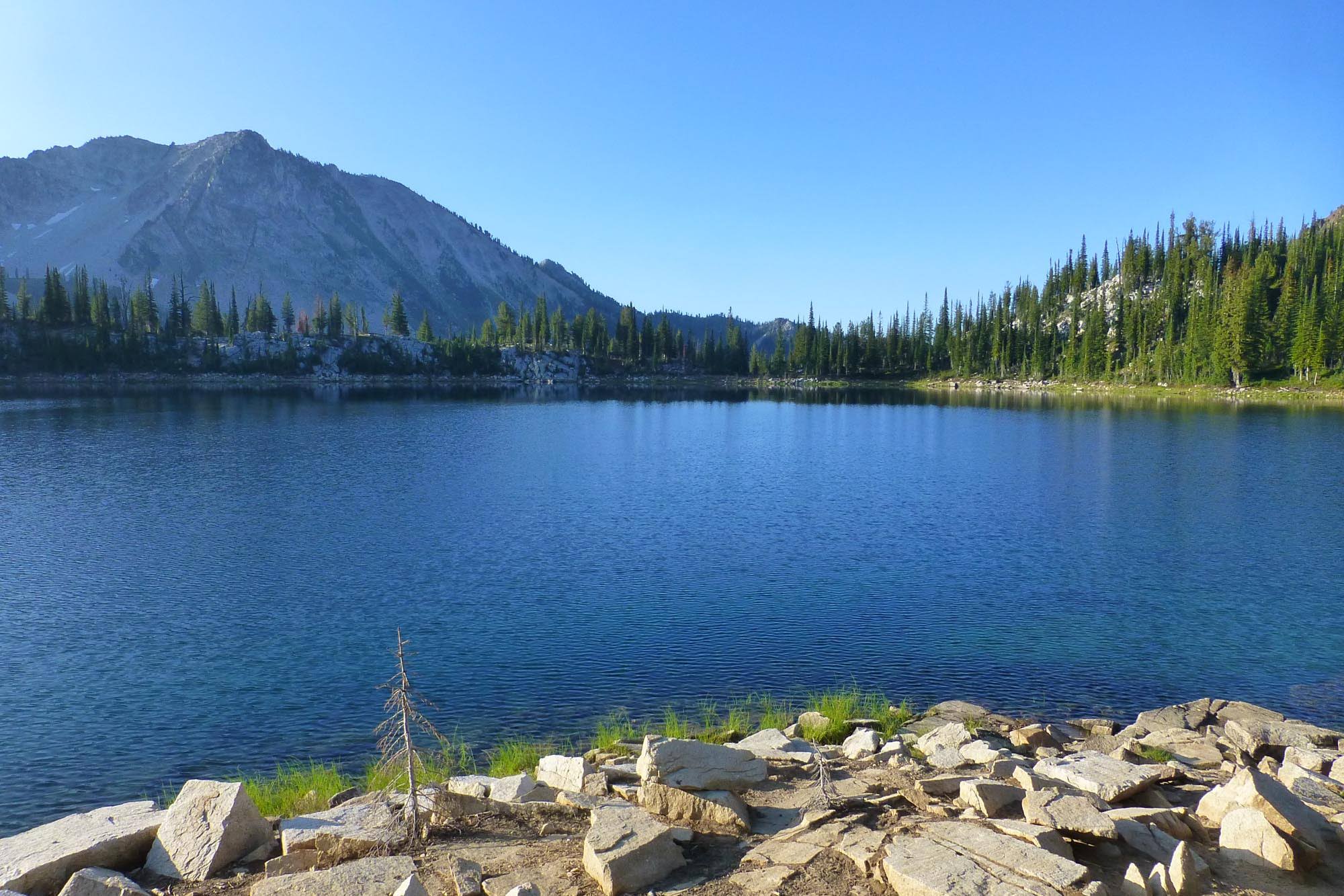
I've never been to Minam Lake before, and it's quite large
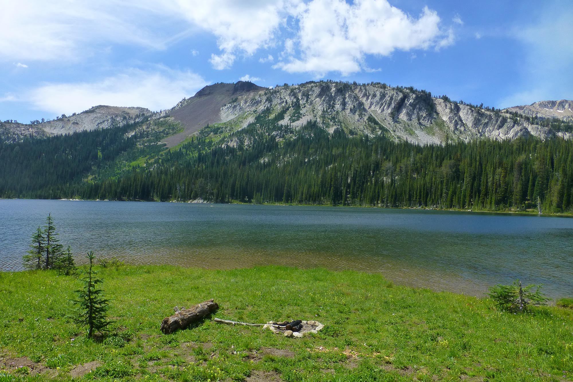
One of many idiotic fire pits I encountered too close to the lakeshore - I dismantled this one by throwing all the rocks into the lake
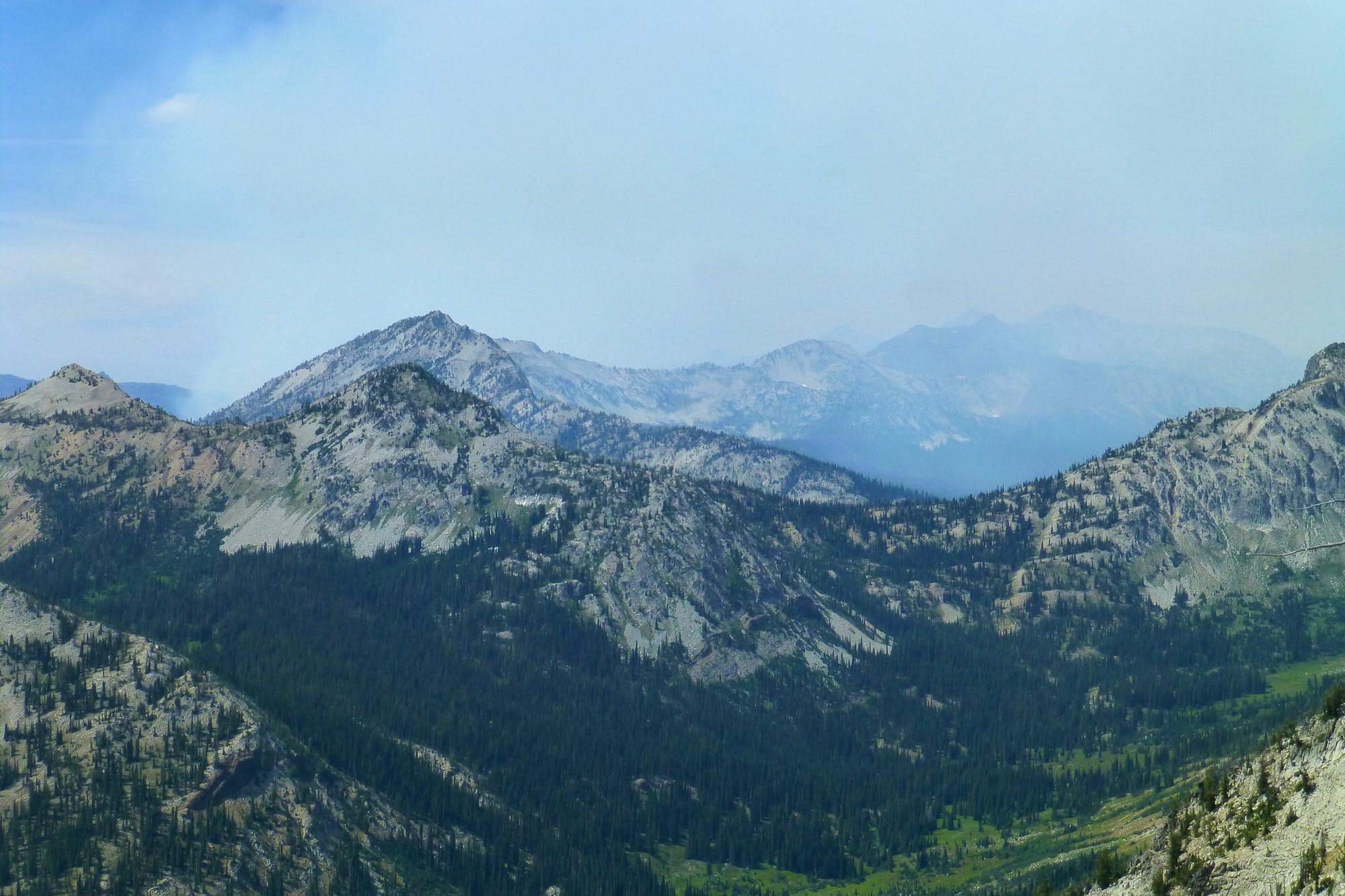
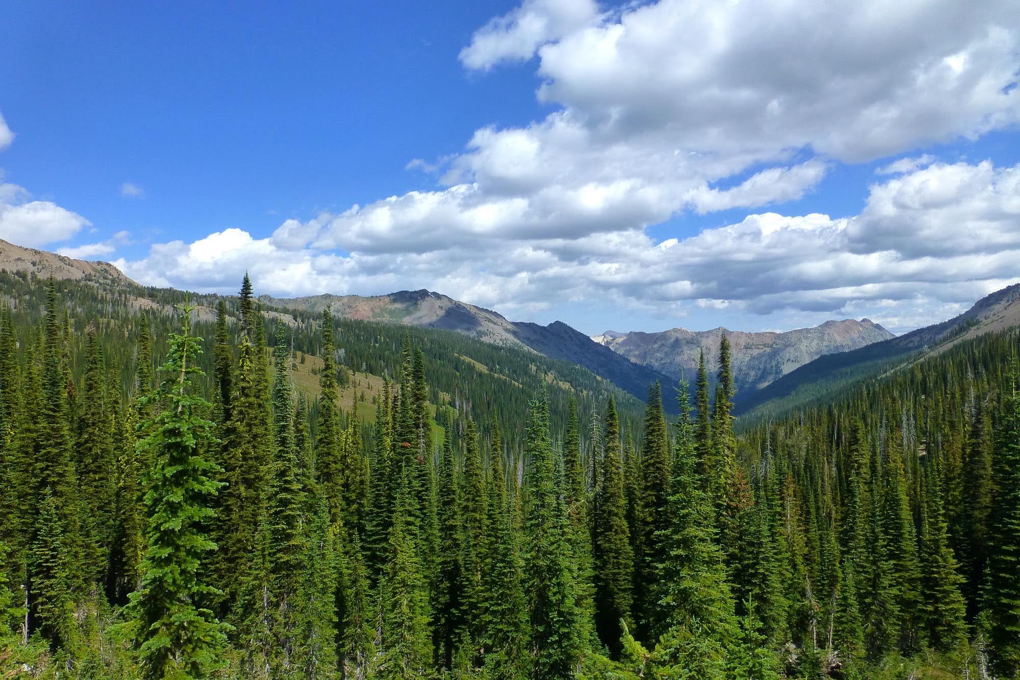
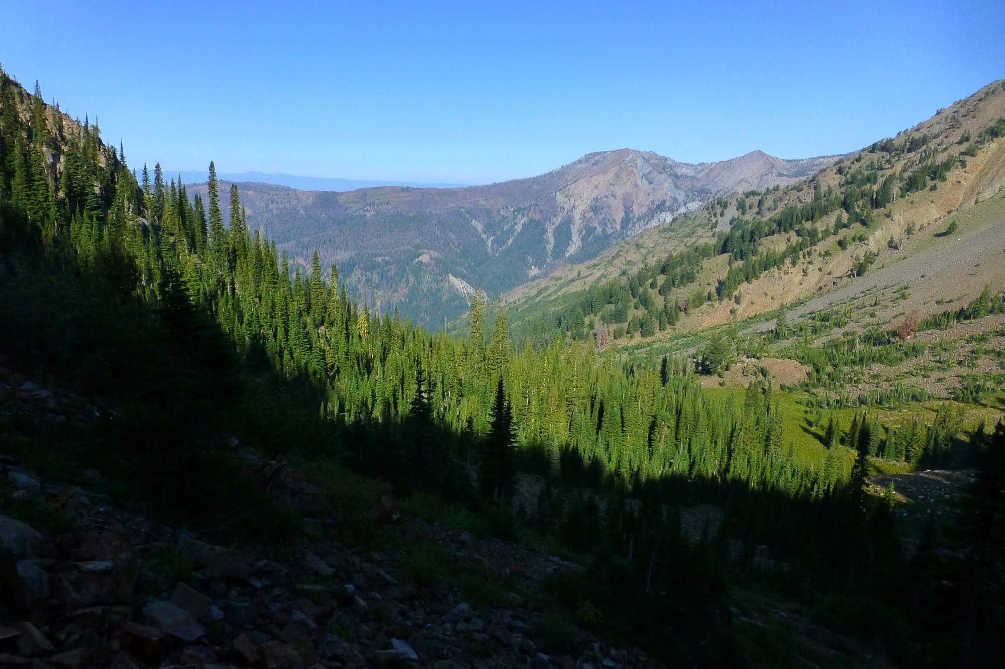
Well, I had heard from some people I met that there was a fire burning in the Minam, and it sounded like it was approximately in the middle of my intended route from Sky Lake down across the Minam and up to Tombstone. I looked down the Lostine from the end of Minam Lake and saw smoke, and after some thought I made the executive decision to completely change my plan rather than potentially heading up into smoke and having to backtrack, or worse, get stuck on the wrong side of the fire, unable to connect back to the TH without a huge detour. I had enough map coverage and prior knowledge of the area that I concocted a new route from Minam Lake through the Lakes Basin, over Glacier Pass to Hawkins Pass, down the Imnaha, up Cliff River to Crater Lake, and then back down Little Kettle Creek to the East Eagle TH. Incidentally, this is somewhat similar to what a lot of the other people I met appeared to be doing - something they kept referring to as "the loop," which I guess is from a guidebook?
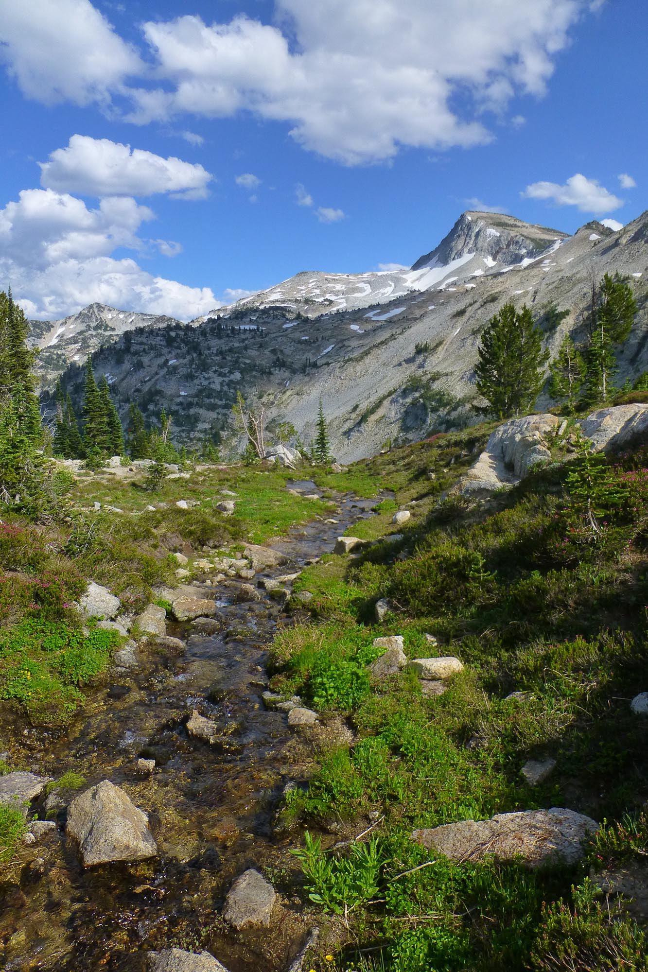
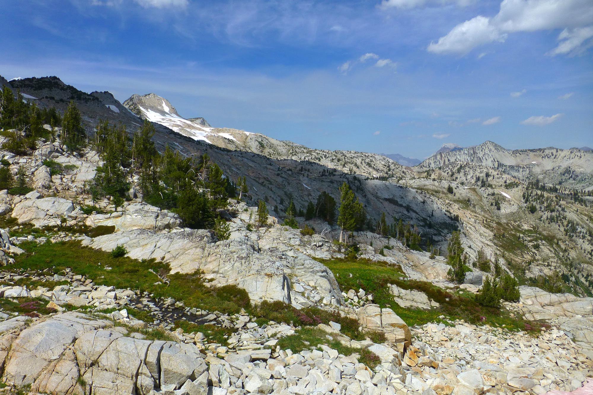
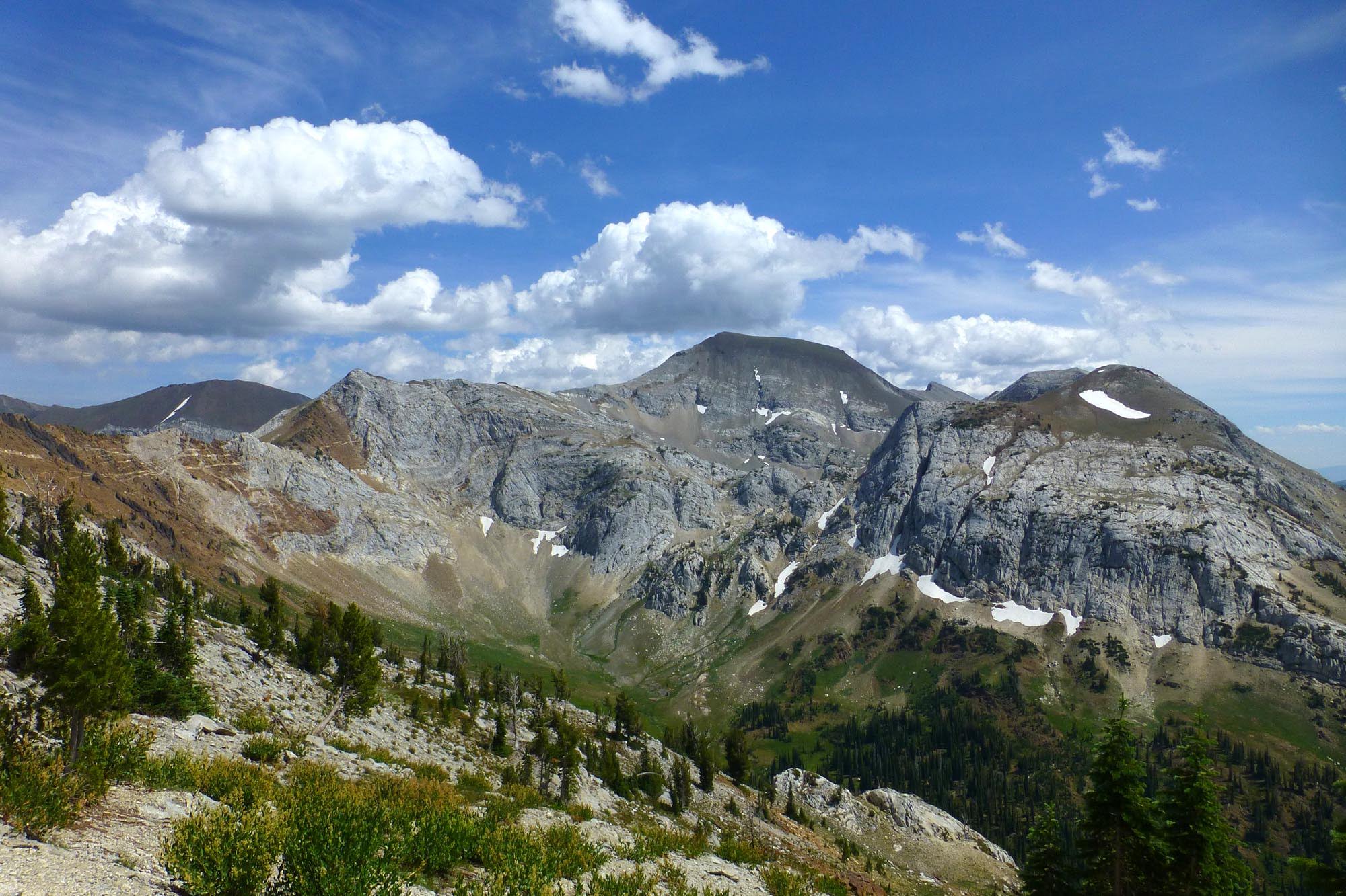
I trudged up the

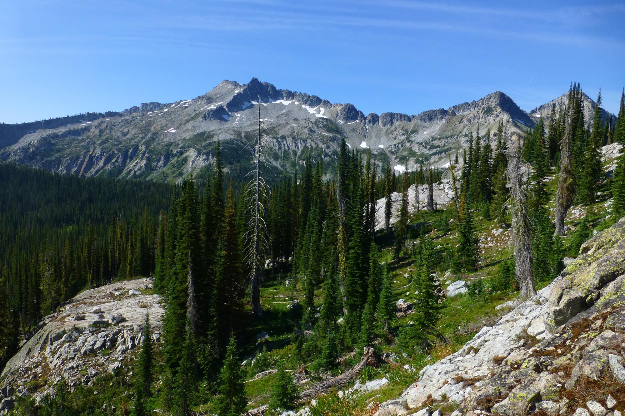
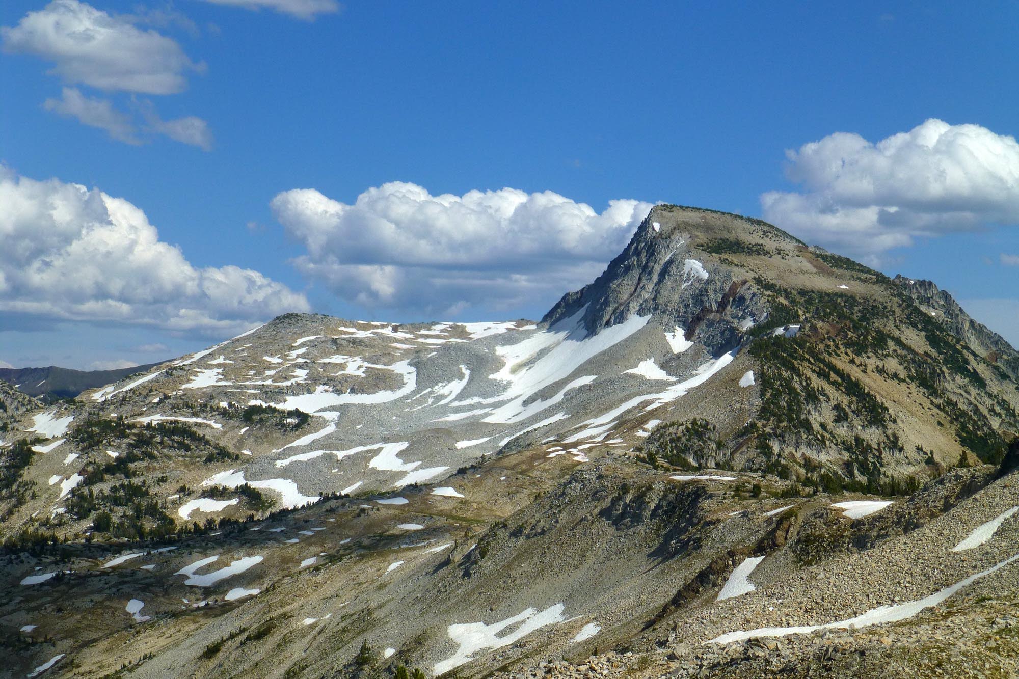
Close up of Eagle Cap
The downhill side of
I dropped down to Upper Lake and set up camp. Eventually, a group of - wait for it - six people tromped down from Horton Pass, detoured down to Upper Lake, and then proceeded to walk directly through the campsite of the person next to me on their way inexplicably down a user trail into the Lakes Basin. I cannot believe the obliviousness of people who would walk directly through someone's camp, but bozos will be bozos. This is why I try to avoid the Lakes Basin like the plague - it's a zoo of people who want a city park atmosphere, illegal fires (campfires are banned, but no one complies), overcrowding, barking dogs, endless user trails everywhere. I struck up a conversation with my neighbor, who said that in wildernesses in BC there are mandatory $1300 fines for every person around an illegal campfire, no warnings. If only the FS could provision a budget to implement patrols and these kinds of fines - this is what's needed for the Lakes Basin, Jefferson Park, etc. Unfortunately, my neighbor had heard of the Central Oregon permit/quota fiasco, and thinks it's not only necessary ("loved to death"), but should also be required for Eagle Cap. Eek!
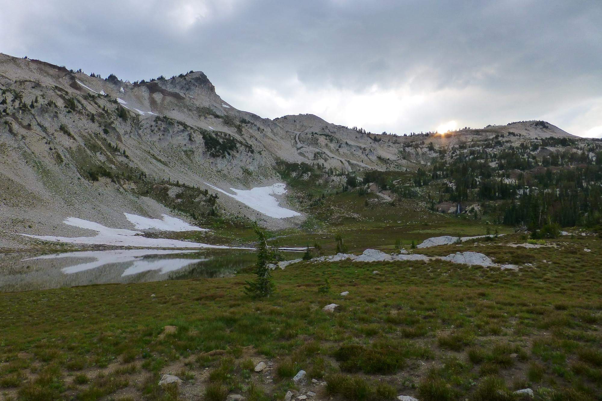
Upper Lake in the evening
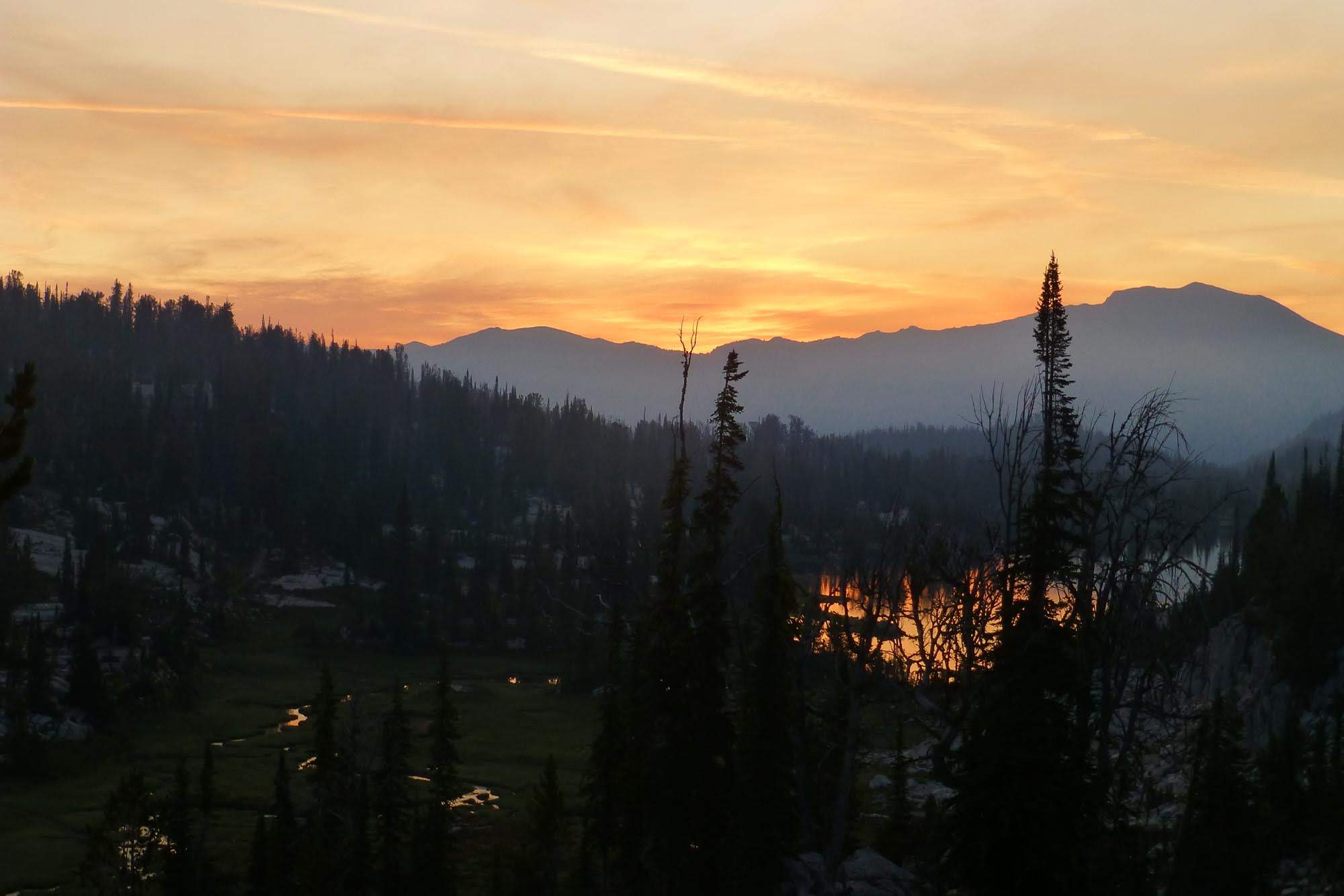
Smoke blew down from the Lostine and created a hazy sunset over Mirror Lake
Looking up the Lostine from camp the next morning
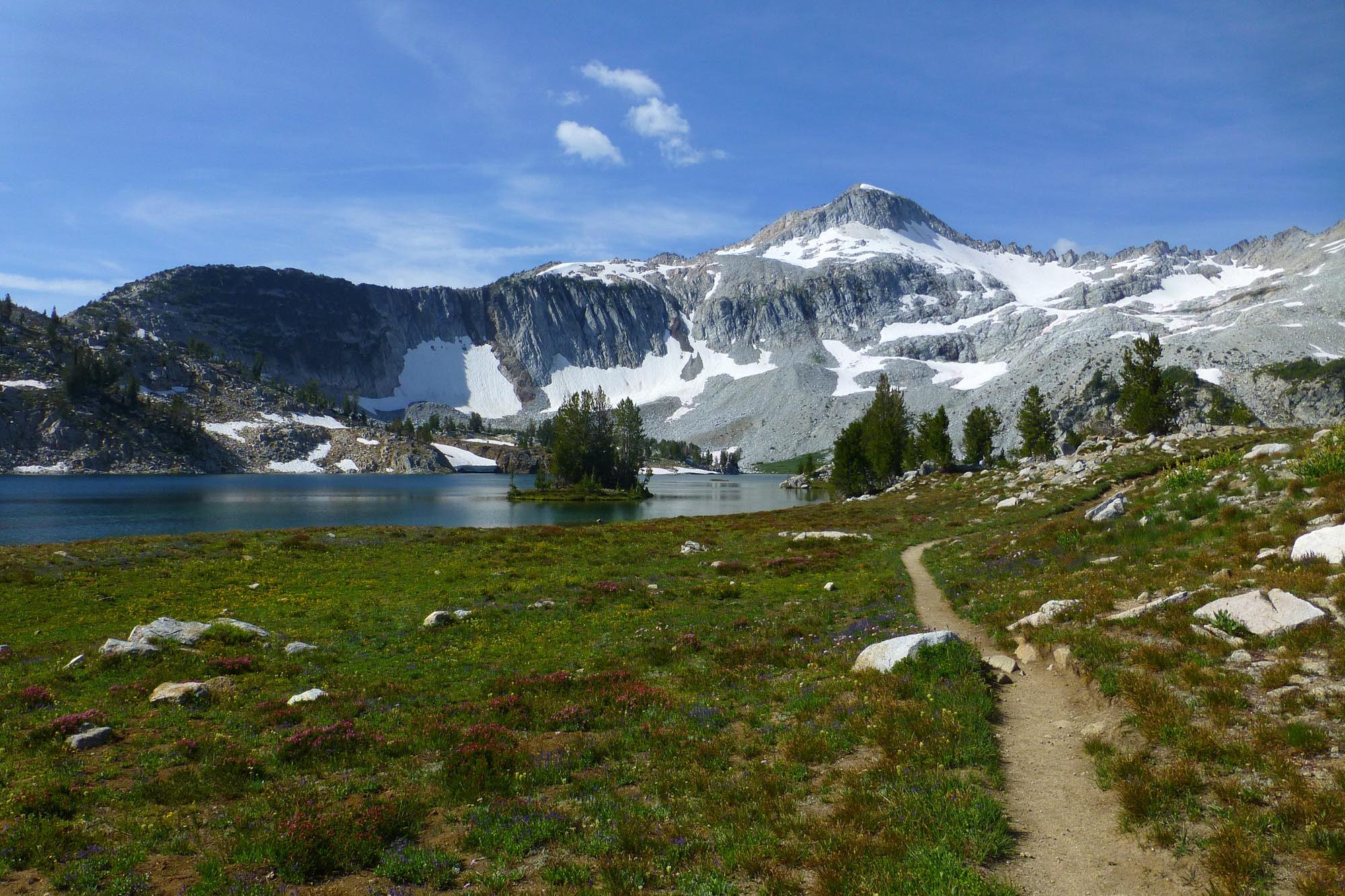
Mirror Lake and Eagle Cap
Looking north to Matterhorn and Hurricane Divide from Glacier Pass
Glacier Lake. There were a ton of people here, lots of illegal fire rings, trash, etc. Sigh.
Glacier Peak and Eagle Cap from the backside of the lake
Prospect
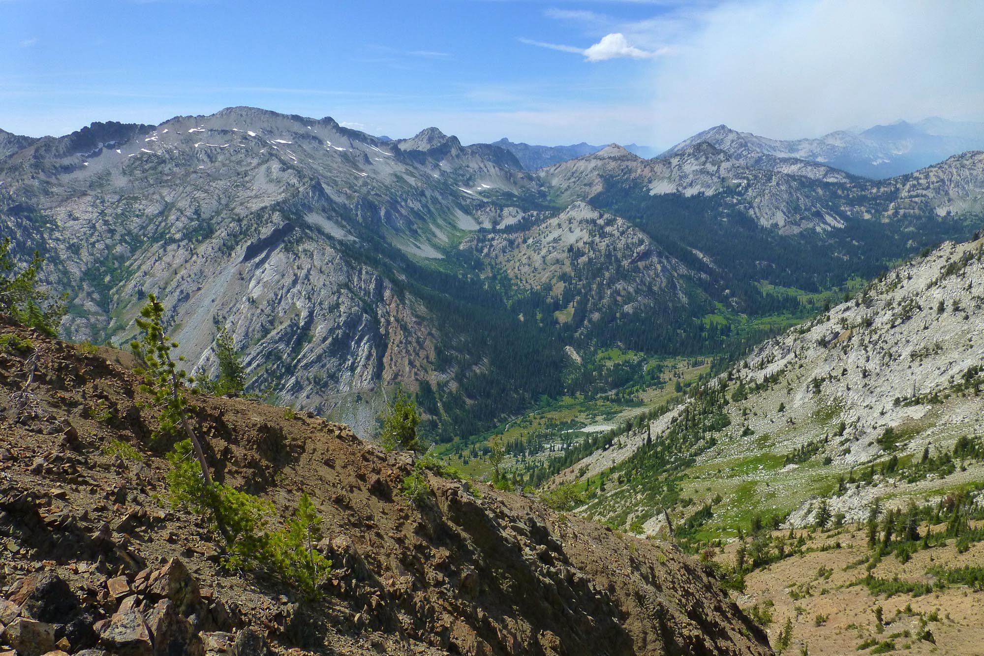
I didn't want to drop down to Frazier and then climb back up to Hawkins Pass, so I began what turned out to be a very fun off trail traverse from Prospect over to Frazier's ridge.

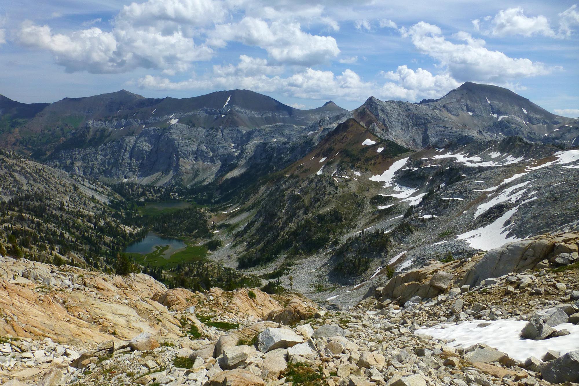
Looking down on Frazier Lake from partway across
Looking back to Glacier Pass (notch in the middle, just left of the Matterhorn in the way distance)
Above Hawkins, Cusick behind and right
I had wanted to climb Jackson Peak on the way in but decided going up from East Eagle looked a bit dodgy (and had more EG than the Imhana side); having found myself up on the ridge north of it, I decided to adventure that way and see if I could connect to it. So rather than descending Hawkins, I turned south and continued off trail. Jackson is the long diagonal rock band summit on the right.
Looking back at Cusick
As the slope approached the ridge north of Jackson, it became more sheer and loose, and eventually I had to turn and climb to the ridgetop, which was a bit more unstable and hairy than I was expecting, and not fun with a full pack. My enthusiasm for this route quickly diminished. Up top of the ridge, I looked over across the East Eagle valley.
Zoomed in to the plume of smoke coming from the Granite Gulch fire. It apparently started in the end of July, but just picked up during the week I was out there. I was glad I didn't head that way.
Ridge to Jackson. I eyed the section heading up to the rock and decided that being solo and completely off my itinerary (ie, no one knew where I was), I'd had enough adventure for one day, so I decided to call it at the saddle below. To get to Jackson from that side, you'd have to traverse around the right side of the rock to get to the south aspect, which is a broad slope.
Looking back along the brown ridge I'd traversed, coming from the gray granitic area behind and right of it in the direction of Hawkins

The imposing, eroding north face of Jackson Peak
Starting what turned out to be a somewhat knee-killing descent to the trail way below. Tons of flowers, great view of Cusick
Down in the Imnaha, looking back. I was on the brown ridge upper left, coming from the granitic area below right of it, having traversed from the ridge in the center
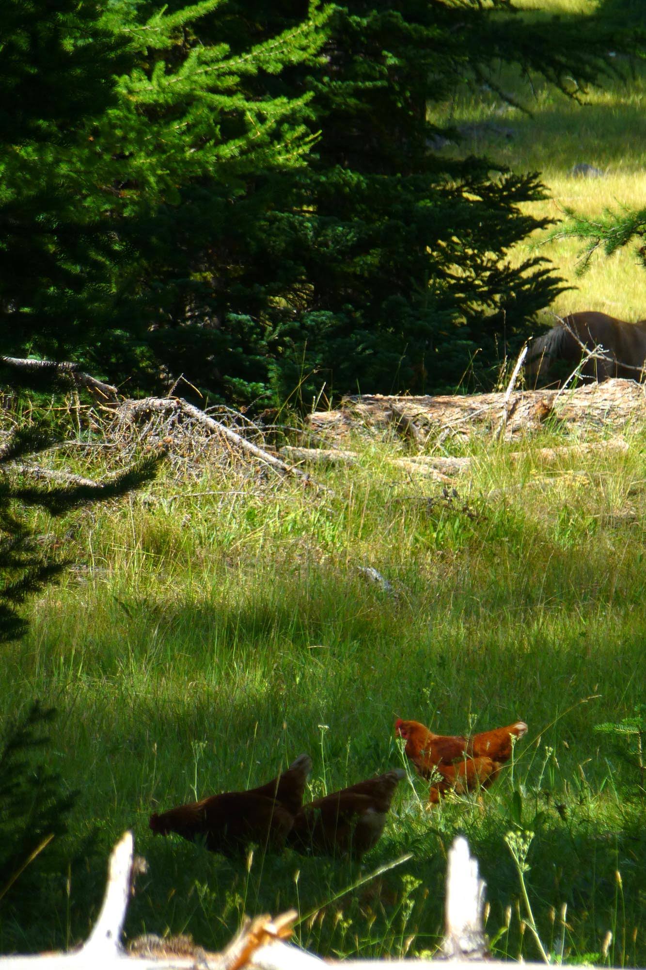
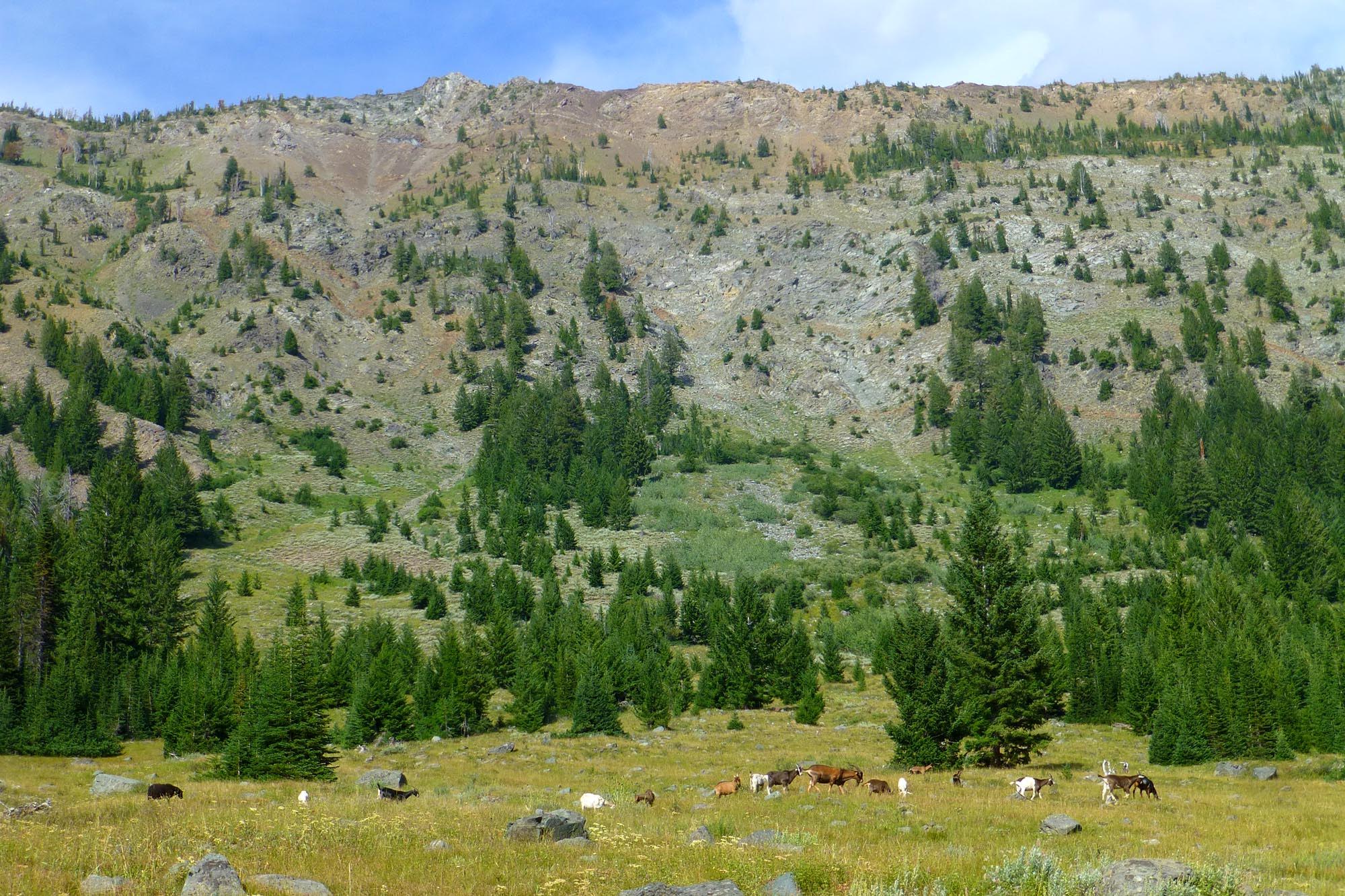
I hoofed it down the Imnaha to the Cliff River junction, where I knew there was a campsite. Down by the junction, in one of the oddest things I've come across in the Wallowas, some cowboy-type had brought out a flock of chickens and herd of goats to graze in the meadows...? Is this legal in the wilderness?
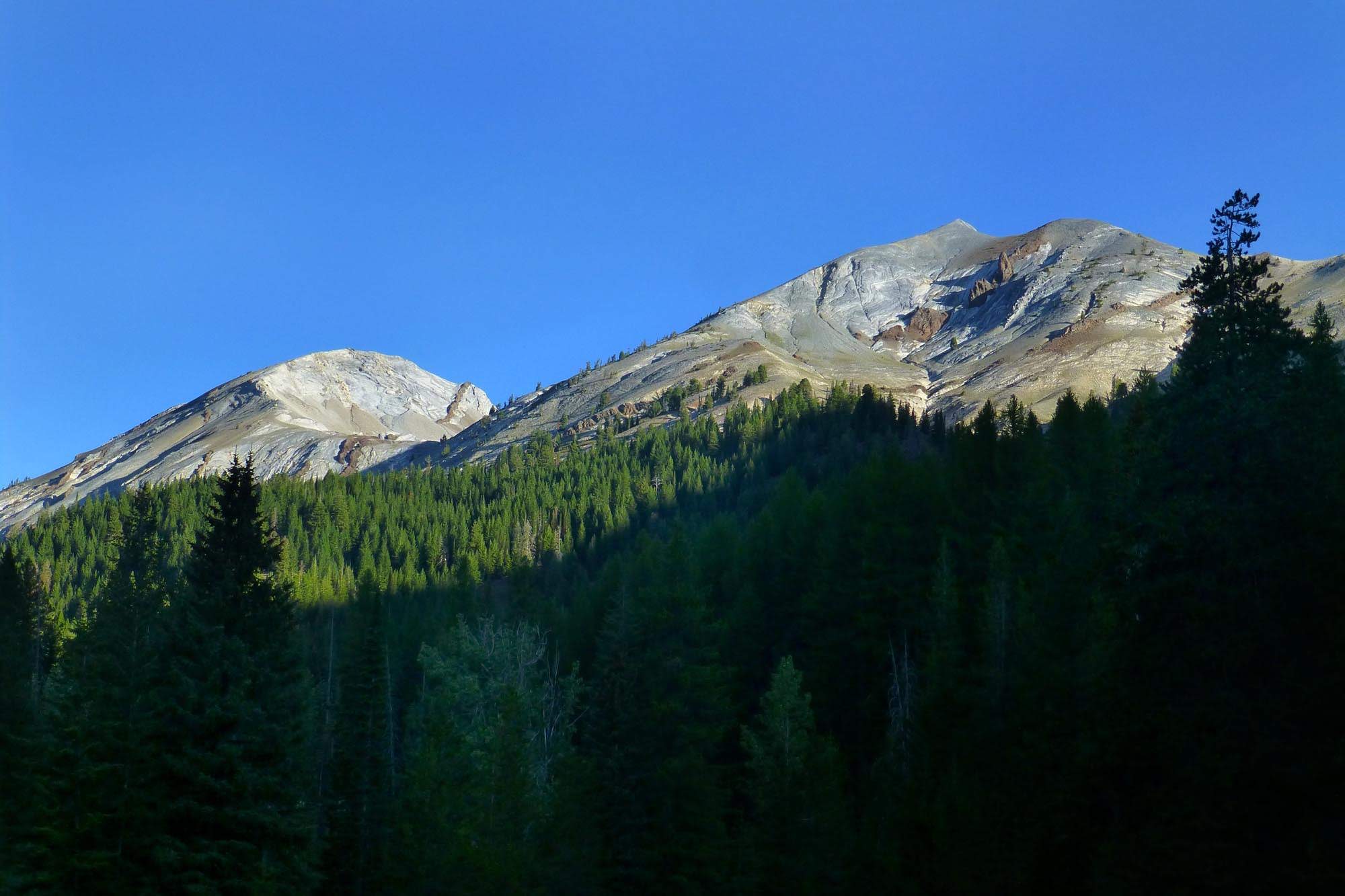
Sadly the good campsite was taken, and it's inexplicably the only developed site in that whole area. I was able to find a bumpy dirt spot somewhat adjacent. The next morning my Tarptent was covered inside and out with condensation, so I watched the light on Cusick while it dried.
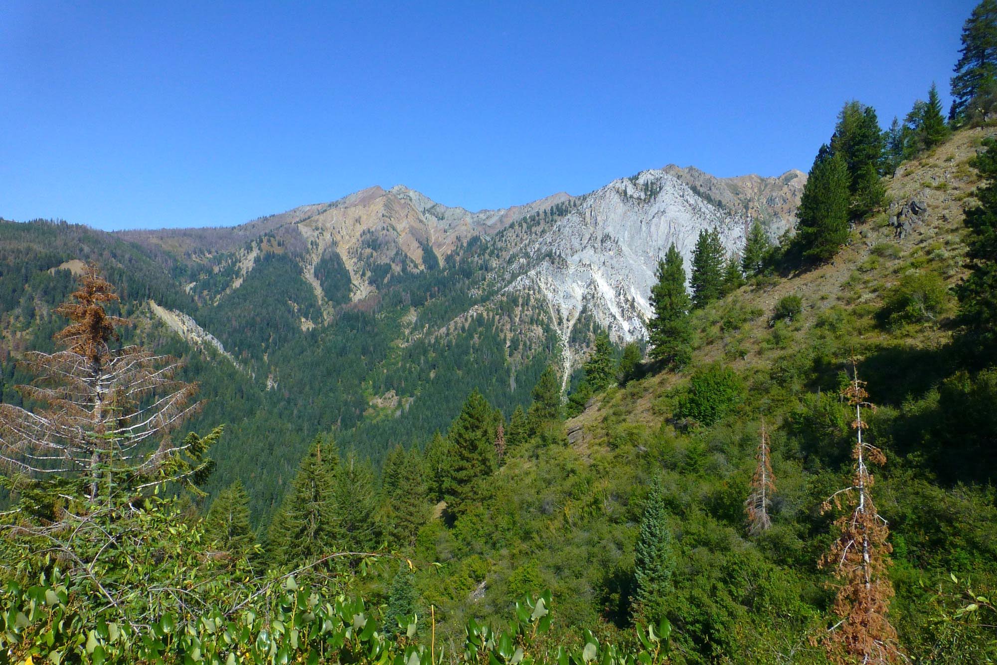
The Imhaha crossing was the only one I had to ford on the trip. After that, it was a lovely climb up a sage-covered hillside along the Cliff River, with Red Mountain looming overhead. I was last on this trail in 2015, going down.
Looking back to the Imnaha drainage at the bottom of Cliff River, from up before Crater Lake.
Crater Lake

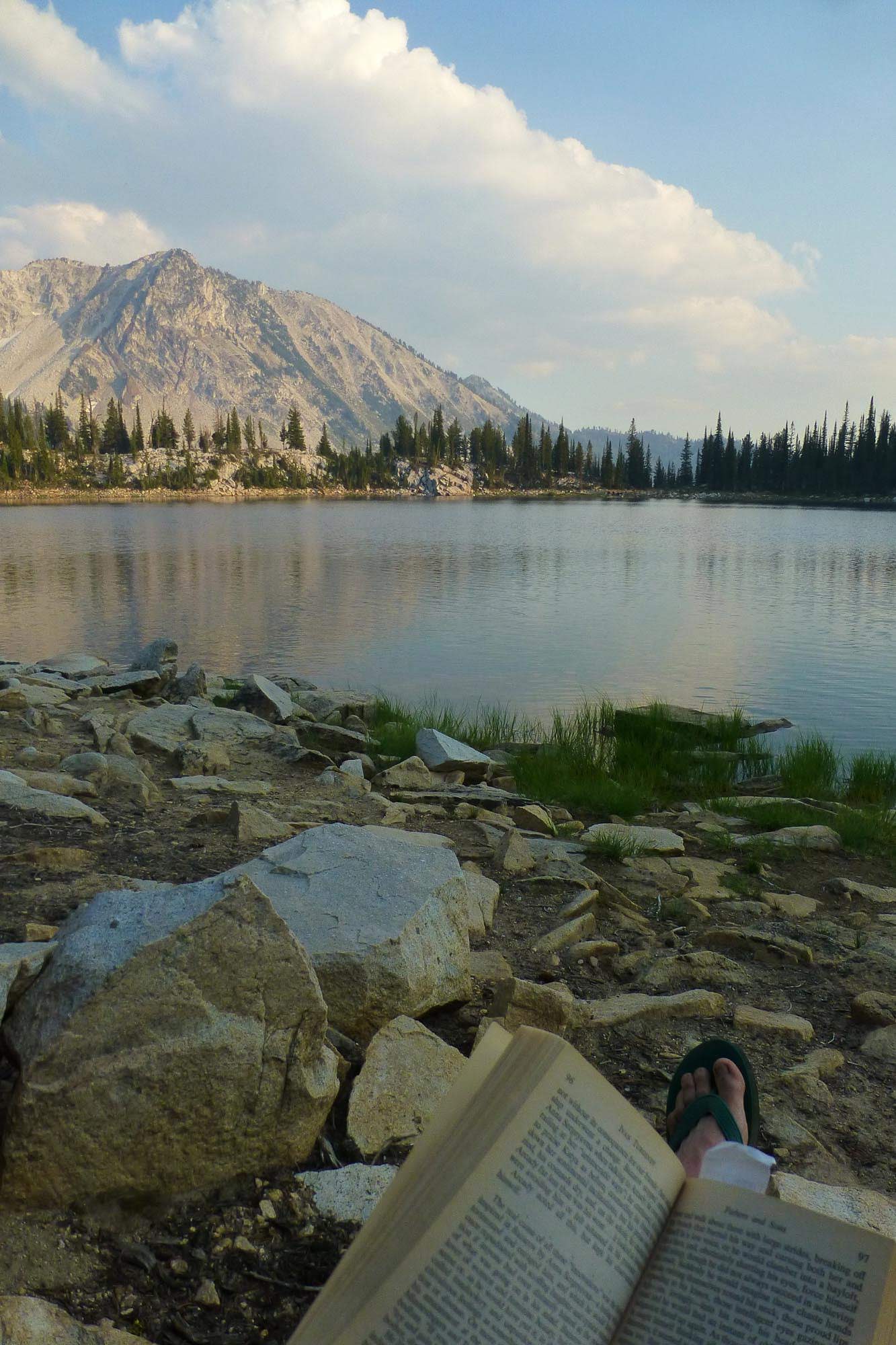
It was noon on day 4, and I had originally planned a 5 day trip. I could head down Little Kettle Creek and be back at the car today, but then have to drive home in the evening? There was no one at Crater Lake, and I had nowhere I needed to be, a private lake, and some swimming that needed to be done.
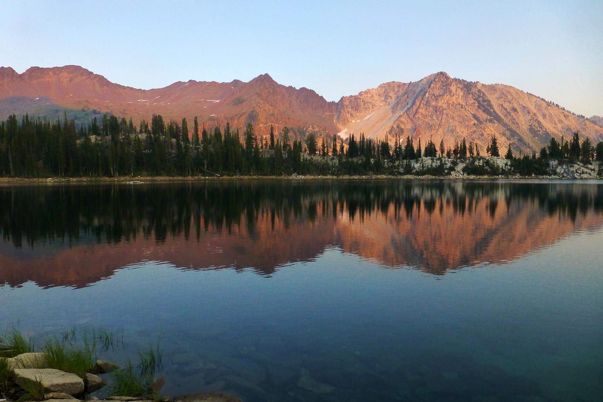
Next morning. Crater Lake is a nice place.
I packed up and headed down Little Kettle Creek.
This trail has about a bazillion switchbacks, most are so flat and long that you don't notice you're losing 3000 ft of elevation. However, the top of the lower switchbacks is crazily overgrown. At first it was funny, and certainly I can't think of a more fragrant thing than to push your way through manzanita and sage, but it got old quickly. Brushing this out would be a great project for some sort of statewide trailkeeping organization (*ahem*). This is actually a shot of the trail.
Finally back to seeing the granite cliff again, almost done
I got back to the car around 10:30am. I drove back via a known road - FR-77 to the turnoff to Main Eagle (Boulder Park), then FR-67 out to Medical Springs - good gravel the whole way, though long. Then lunch in La Grande and back to Portland by dinnertime. Total trip stats appear to be around 42 mi and 9300 ft EG per Caltopo (though Garmin is reporting it as 10,600, so maybe call it 10k avg). Sort of a wacky improvised loop, but the southern Wallowas are very pleasant, and the pleasantness and variety of flora and terrain is what keeps me coming back year after year.


