Vista Bagging Mt. Hood from Owl Point, Alki Point, Red Hill, and The Rockpile
Posted: September 20th, 2018, 3:21 pm
Back in the beginning of August, we hiked up to Owl Point, Red Hill, Alki Point, and The Rockpile, located on the northern side of Mount Hood and more or less to the north of the Vista Ridge Trailhead. Normally I do most of my hiking in southern Washington and central Oregon, but I think this year I've caught the "Mt Hood bug," so to speak.
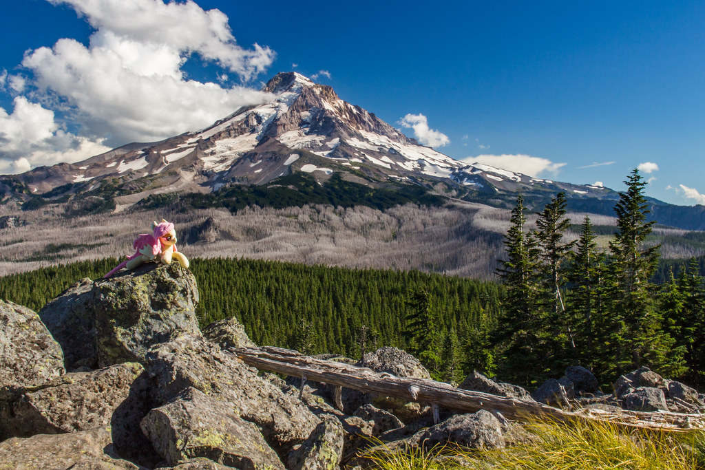
Opening Photo:
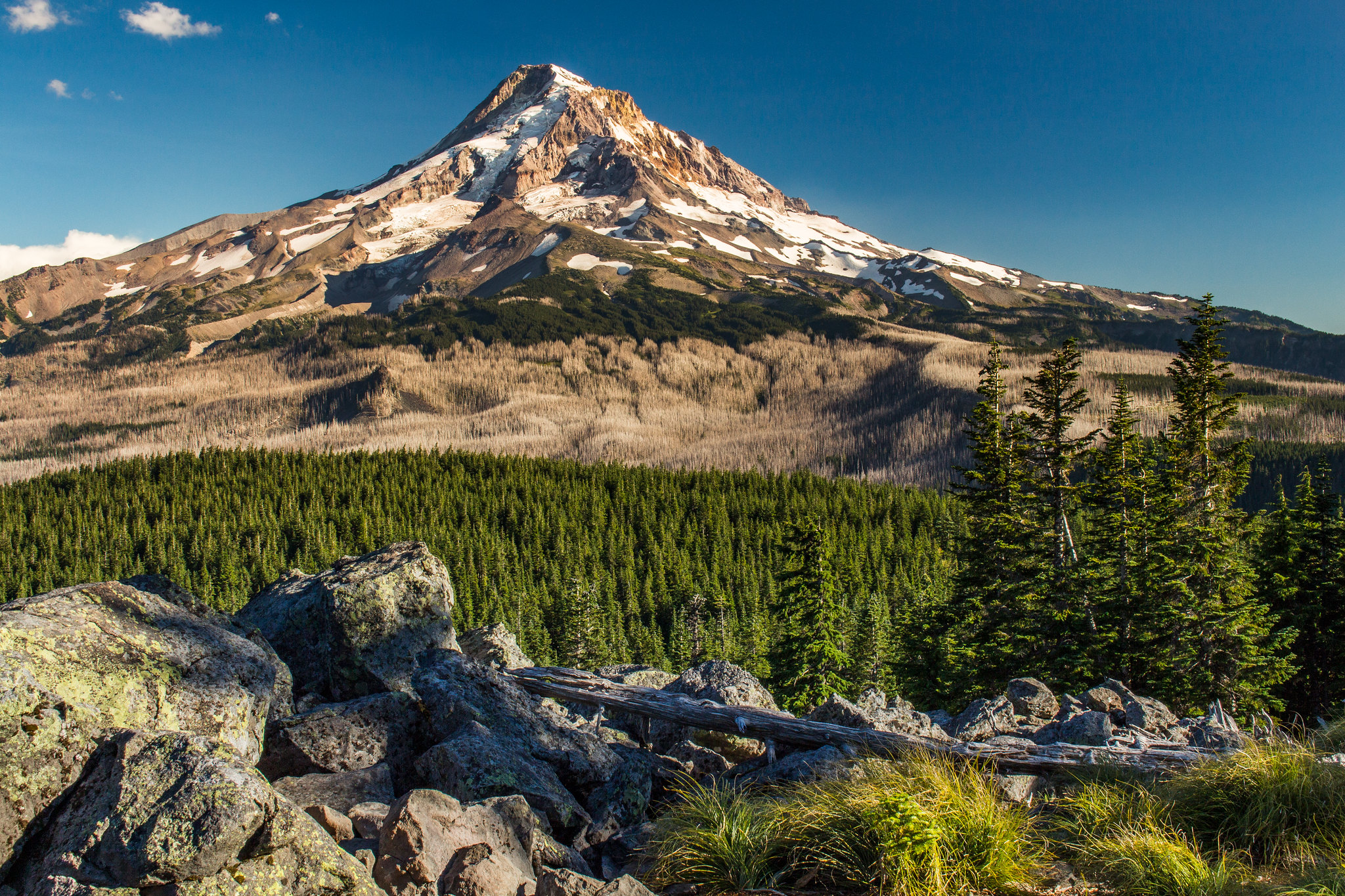
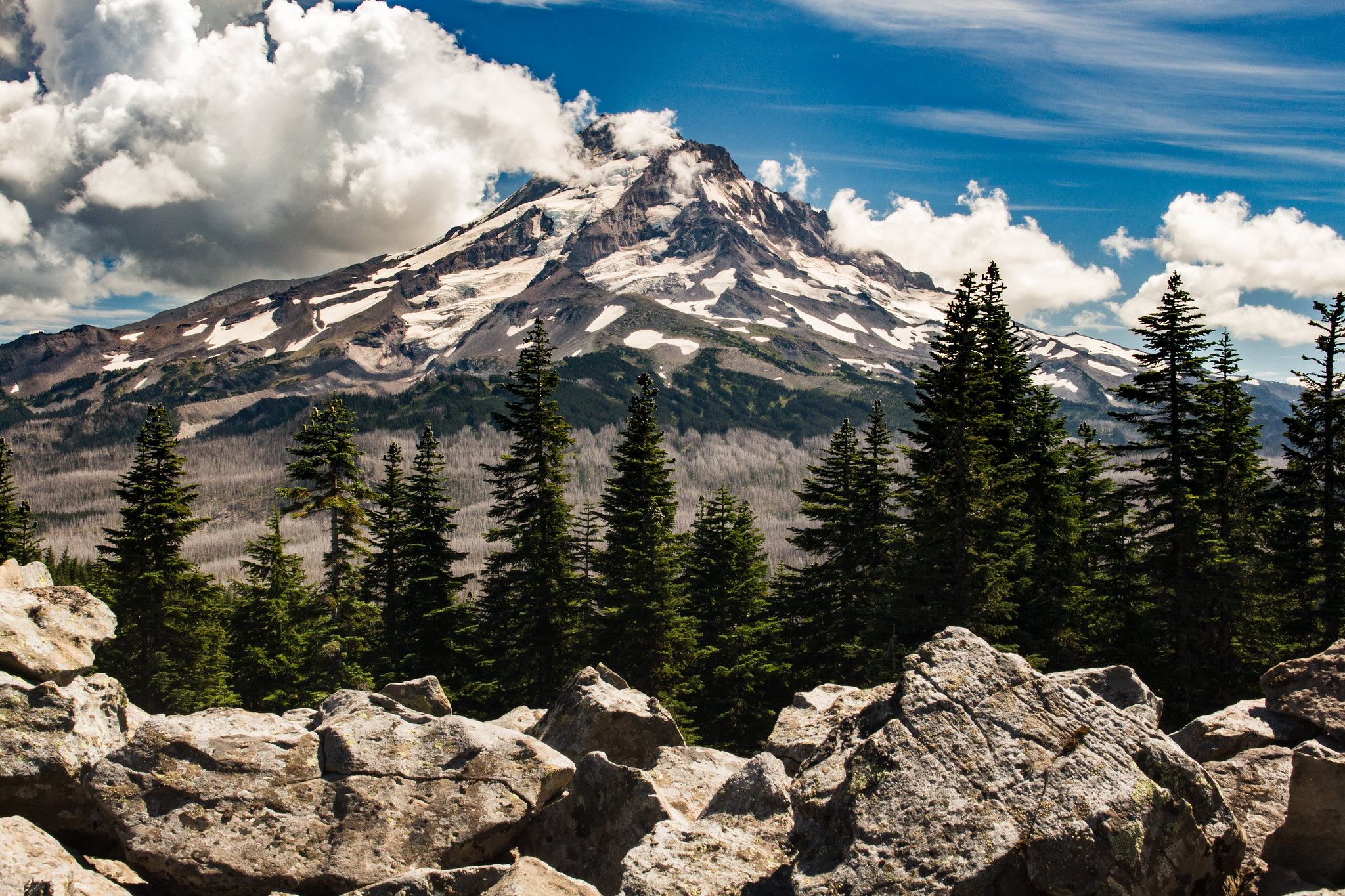
Mt. Hood gleaming in afternoon sunlight from Owl Point.
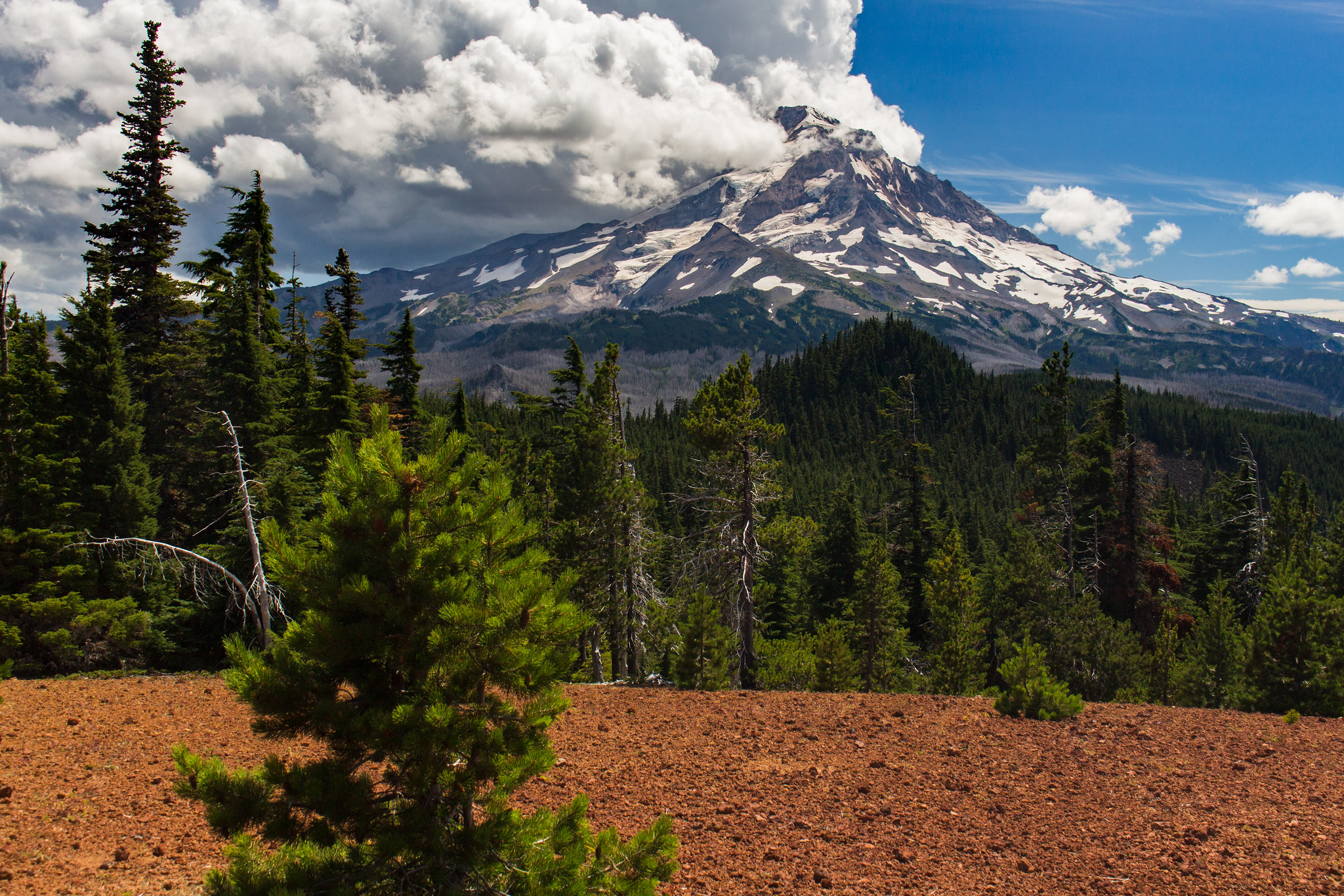
Mt. Hood from an unnamed viewpoint on the way back.
Trailhead Access:
Two of the three road access points were closed because of replacement of a bridge, so we drove in via the Parkdale route. The road is perfectly fine for a car, although the last few miles of gravel road to the trailhead has a few ruts. But even a prius could make it. On the paved section, there's also quite a few potholes, but they're clearly marked in yellow spraypaint (every single one, that we could tell).
Trip Report:
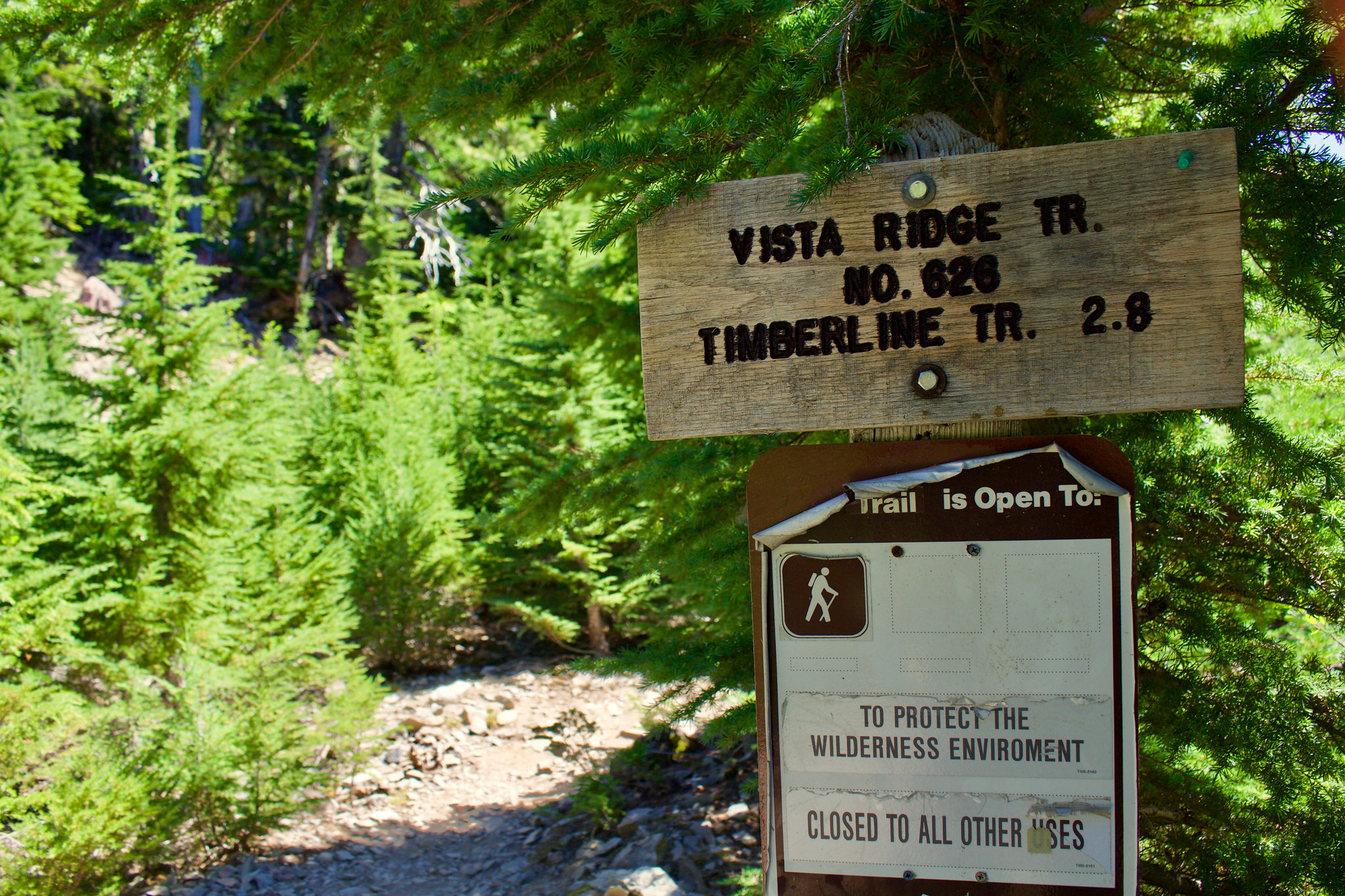
Started out on the Vista Ridge Trailhead.
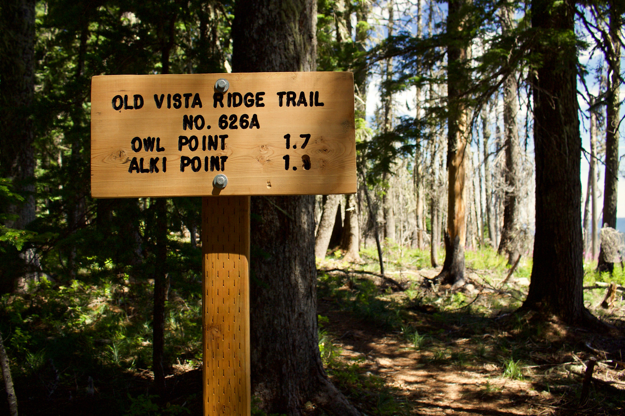
Turned right onto the Old Vista Ridge Trailhead, which was recently restored by volunteer efforts and brought back into the Mt. Hood NF trail system.
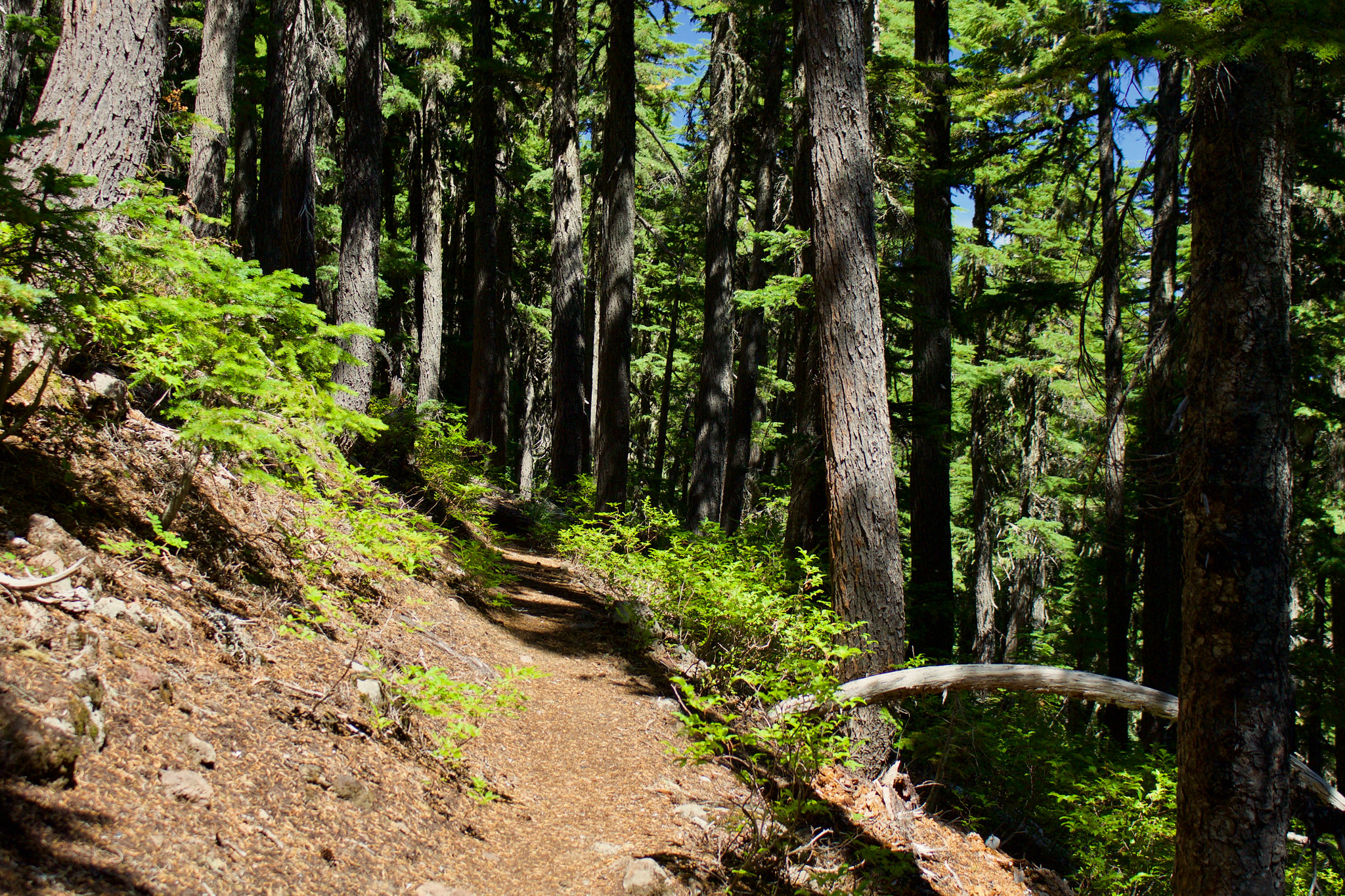
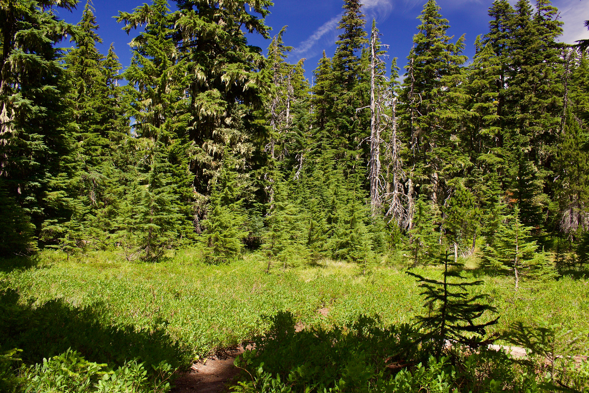
Trail started out through montane forests dominated by huckleberry on the forest floor. Lots of beautiful mountain hemlocks, too. Absolutely love this tree species.
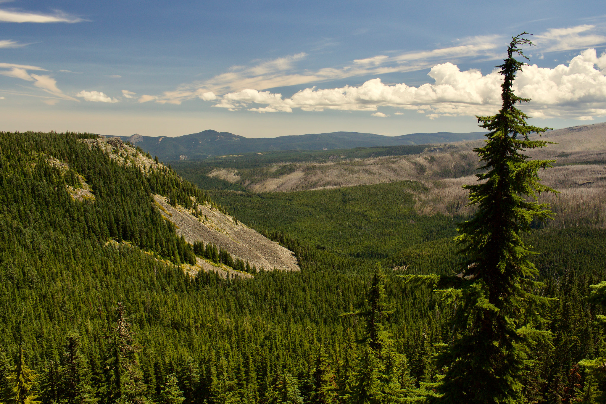
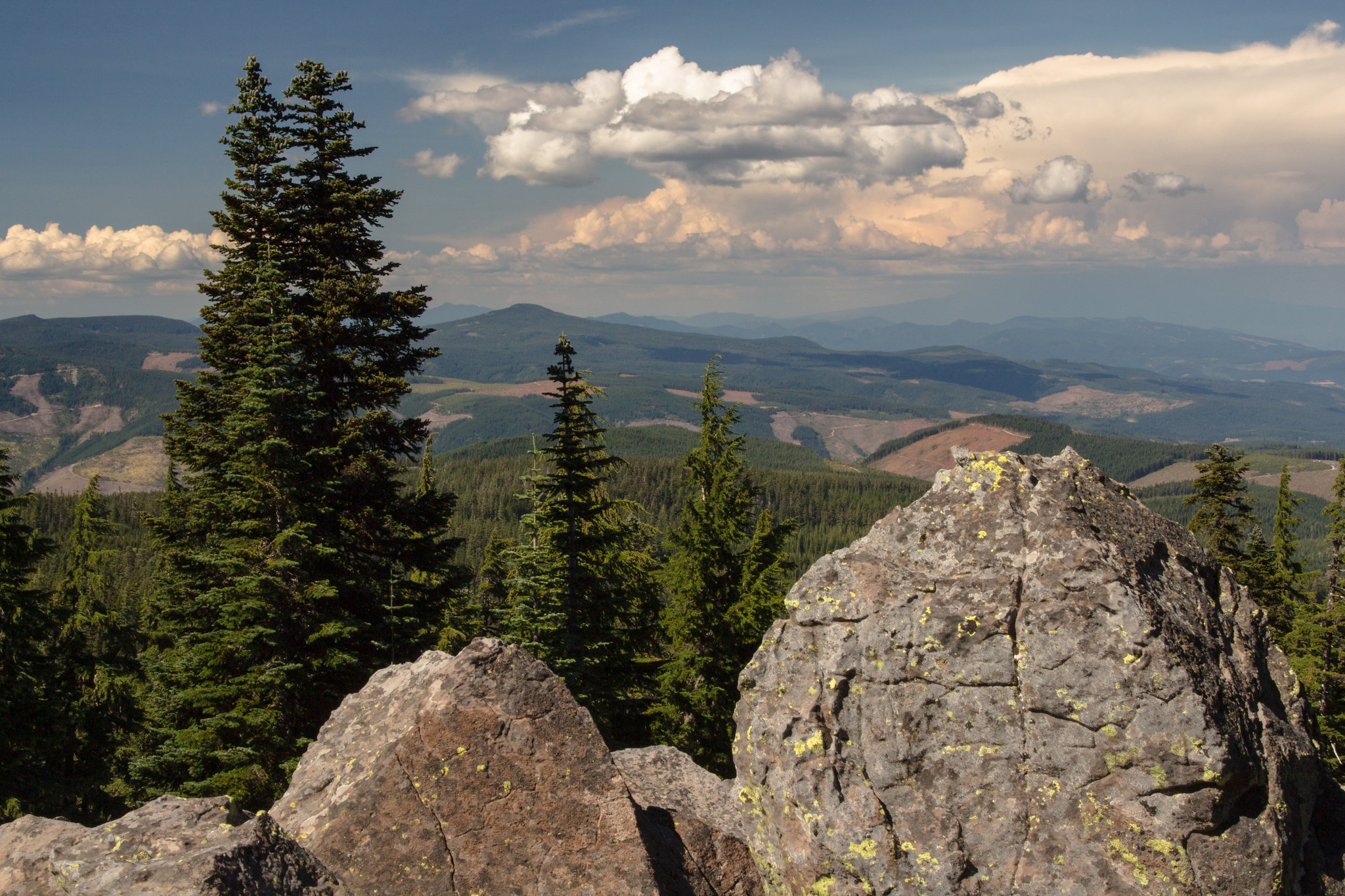
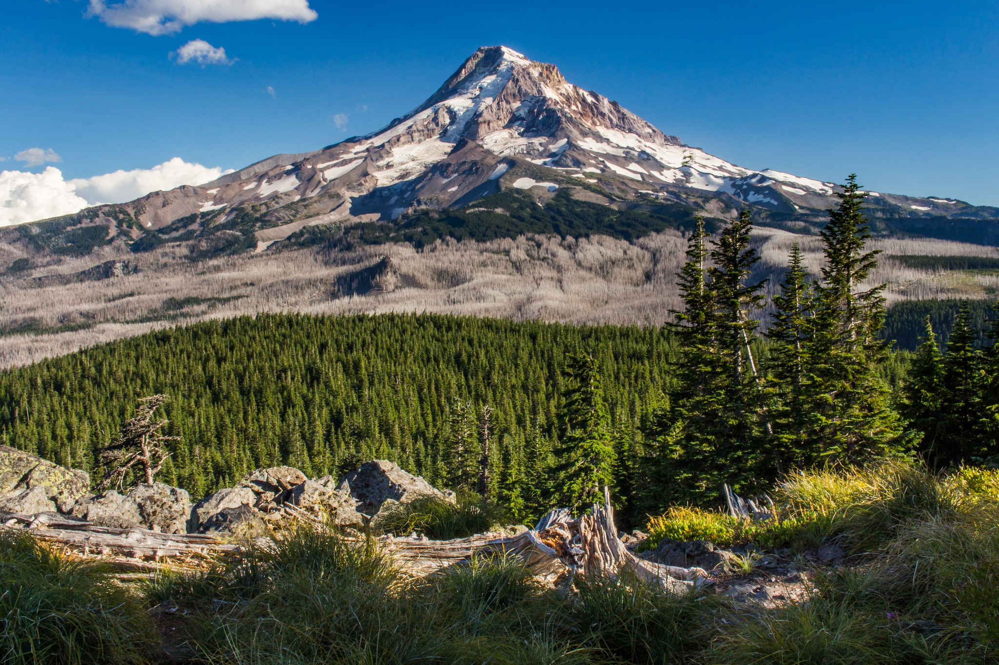
Reached a pair of two viewpoints. Each one had a view mainly to the east, with partially-obscured views of Mt. Hood. Katsuk Point is the table-like plateau-like formation on the far left.
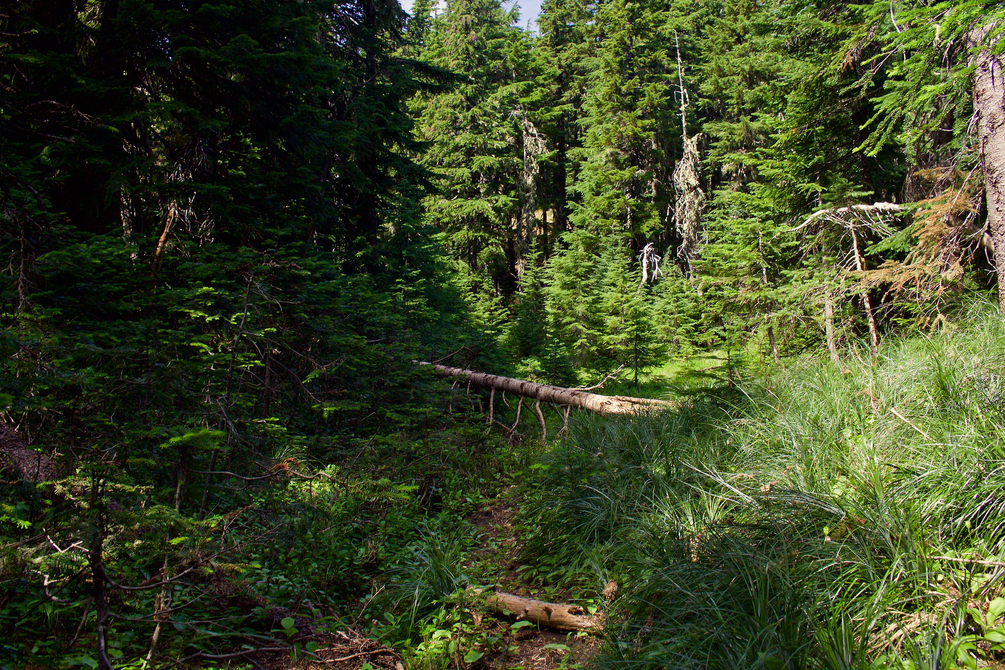
Once we reached the first meadow/clearing in the forest (it is literally the first true meadow you come across going north), we followed a very faint, partially non-existent user path up to Red Hill. While there was a faint resemblance of a path on the first half of the journey, the second half (once you start switchbacking up Red Hill), there is no path at all. Most of it is through somewhat dense montane forest, carpeted with huckleberry and beargrass. (So, just a warning, you should be comfortable with off-trail hiking if attempting Red Hill.)
Very faint user path part-way to the base of Red Hill.
Not much of a path here, but you can sort of tell where people generally walk (closely follows the route described by Tom in the field guide).
Once we caught the ridge line, we followed it up to the top.
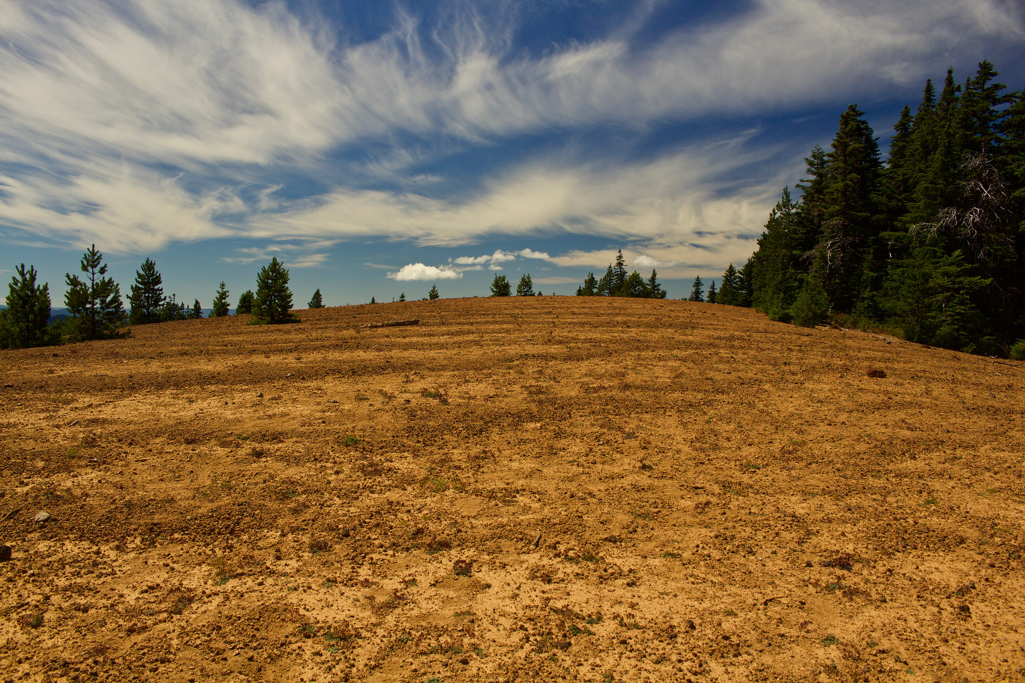
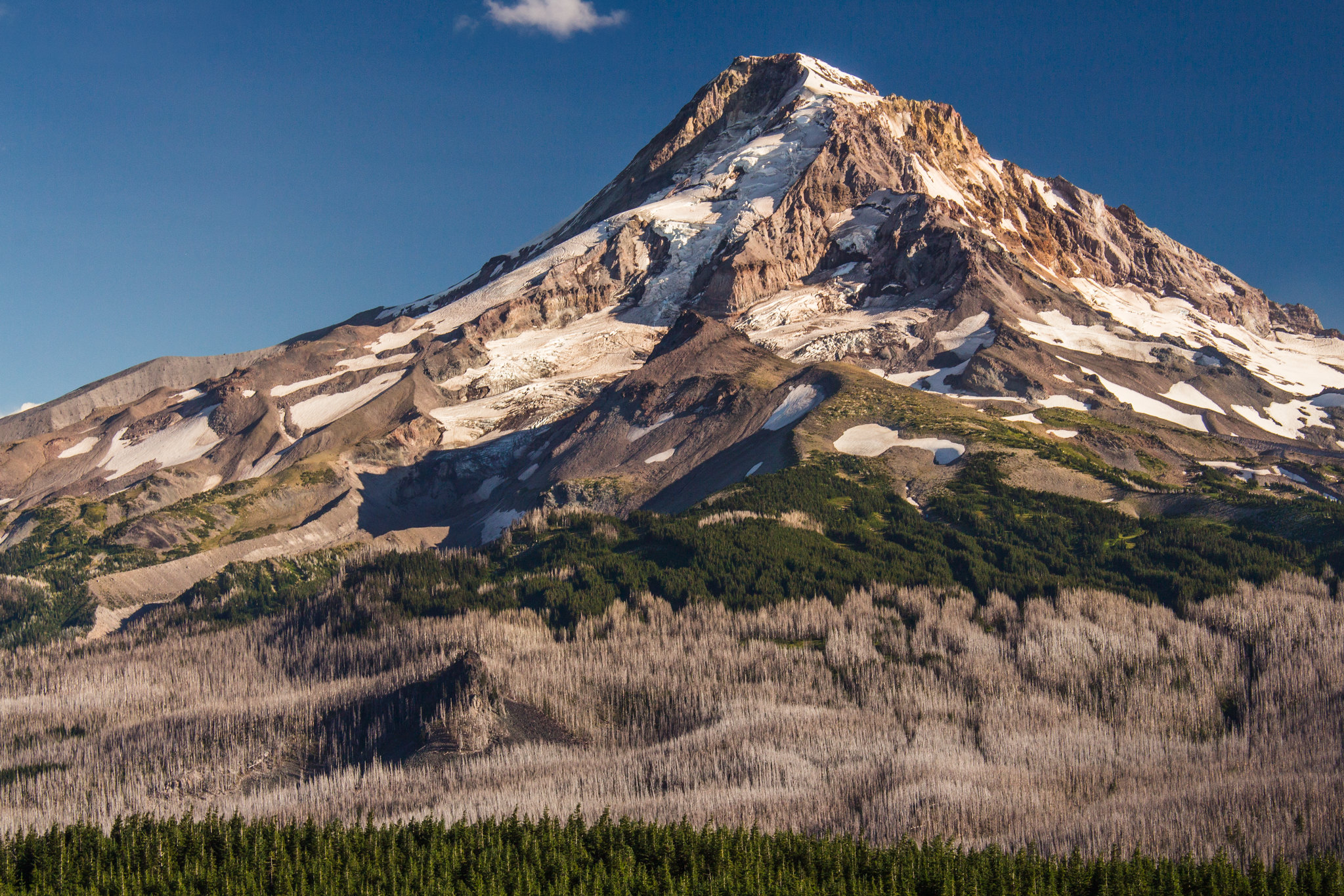
Mt Hood from Red Hill. It isn't a particularly photogenic viewpoint, or even all that beautiful compared to the other major viewpoints, but it is still definitely worth it for the unique views and red volcanic pumice (which is commonly found in central Oregon).
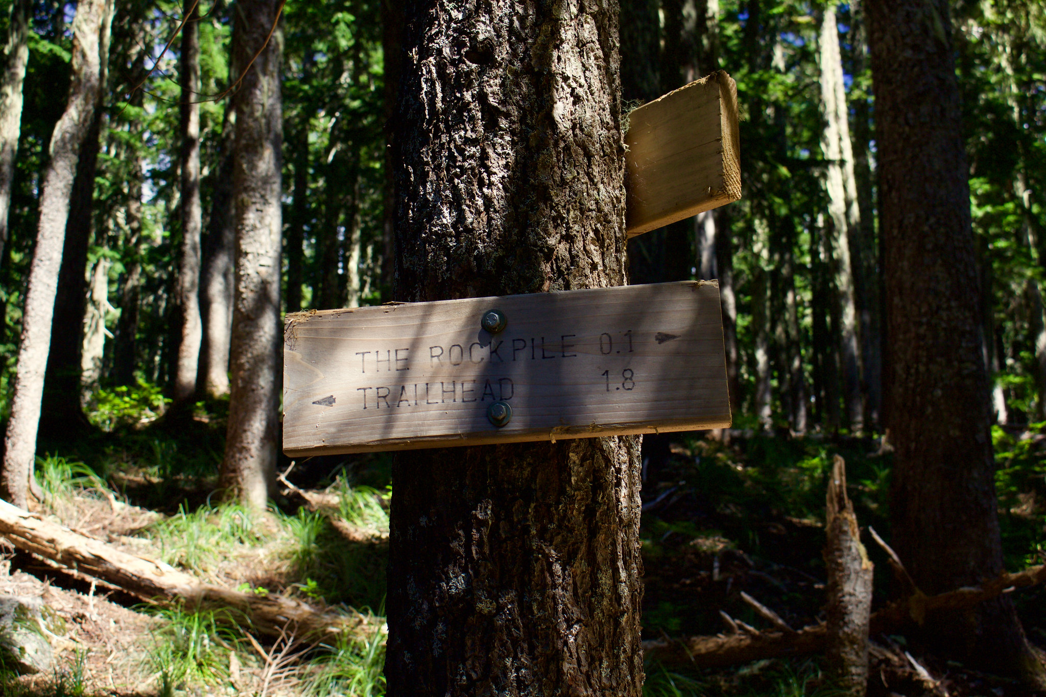
After getting back to the Old Vista Ridge Trail, we continued on and turned right onto the Rockpile junction.
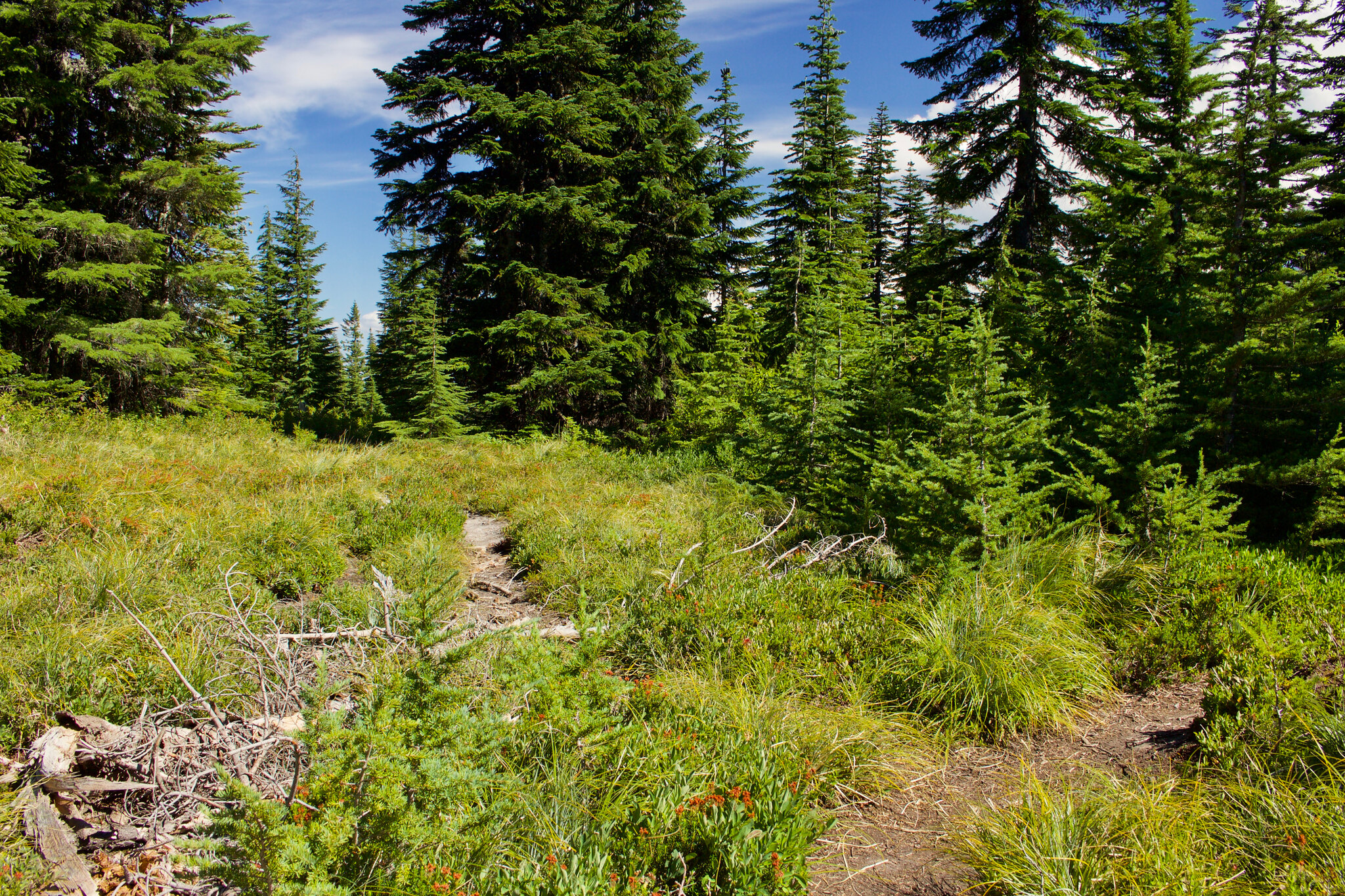
The trail to The Rockpile is short, and passes through meadows. There is two unnamed junctions here with trails to the left. Just keep to the right at both spots to get to The Rockpile. I believe one of those two paths may be user trails leading partway to Katsuk Point(?).
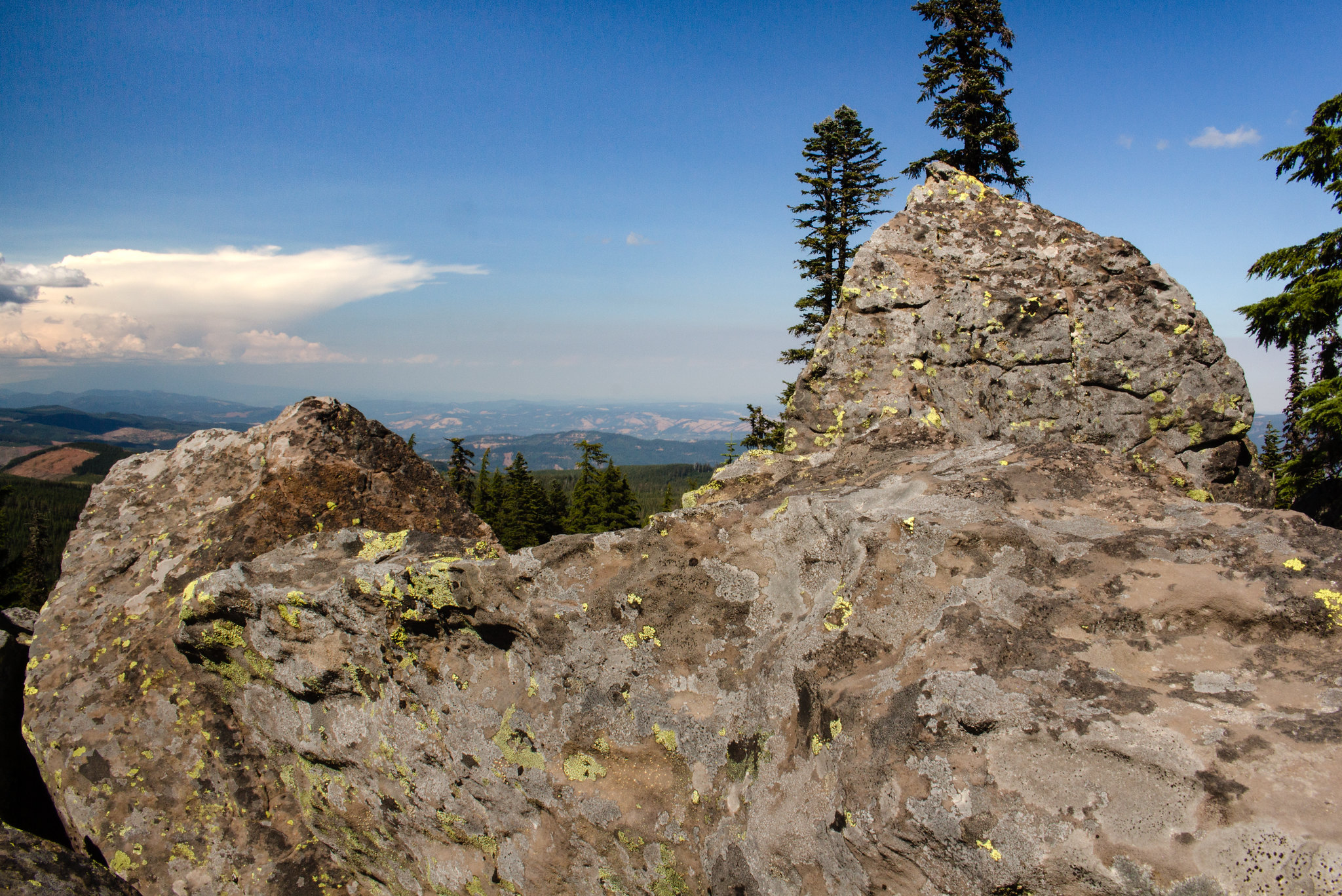
Here is the view from The Rockpile. It is probably around a 50-100 feet tall rockpile.
A wild Flutterbat appears!
We would have also done the side trip to Katsuk Point (off-trail), but there wasn't enough time left between hiking and wanting to take a timelapse at Owl Point.
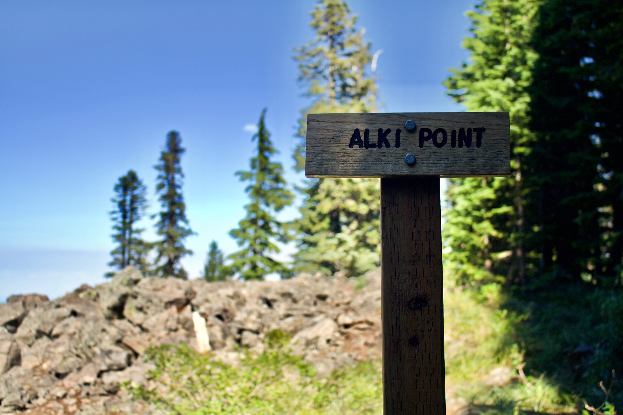
Back onto the Old Vista Ridge Trail, we kept going north, passed the junction for Owl Point, and reached the signed viewpoint for Alki Point. The view is less than a hundred feet to the left.
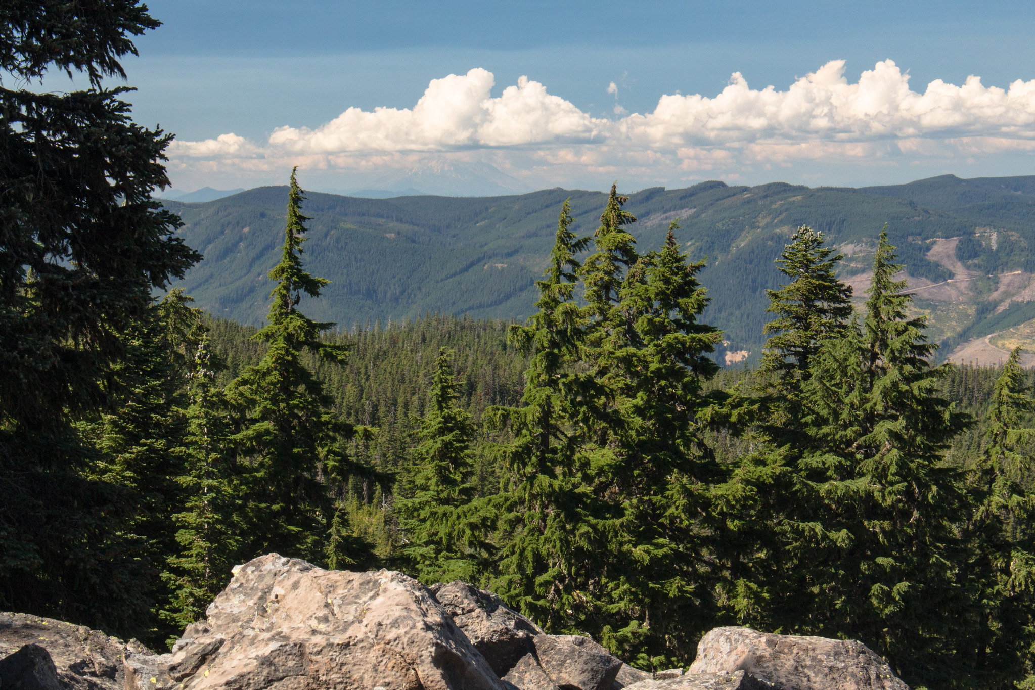
Mount St. Helens from Alki Point. It was rather hazy and cloudy to the north, so the visibility wasn't that great. Normally, you can also see Mt. Rainier from here (but not today).
Mt Adams (at least the base of it ), from Alki Point. I believe Rainier would be somewhere in this photo, too, on a clear day.
Interesting rock formations.
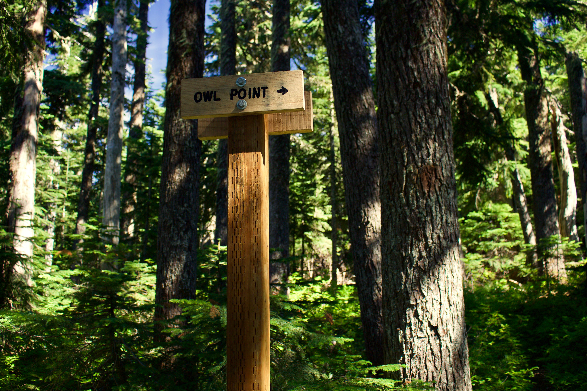
Back on the Old Vista Ridge Trail, we turned around and went back south, until we reached the signed junction for Owl Point again, and turned right.
After walking the short spur to Owl Point, the trail comes to an overlook, and turns left to follow the edge of the precipice.
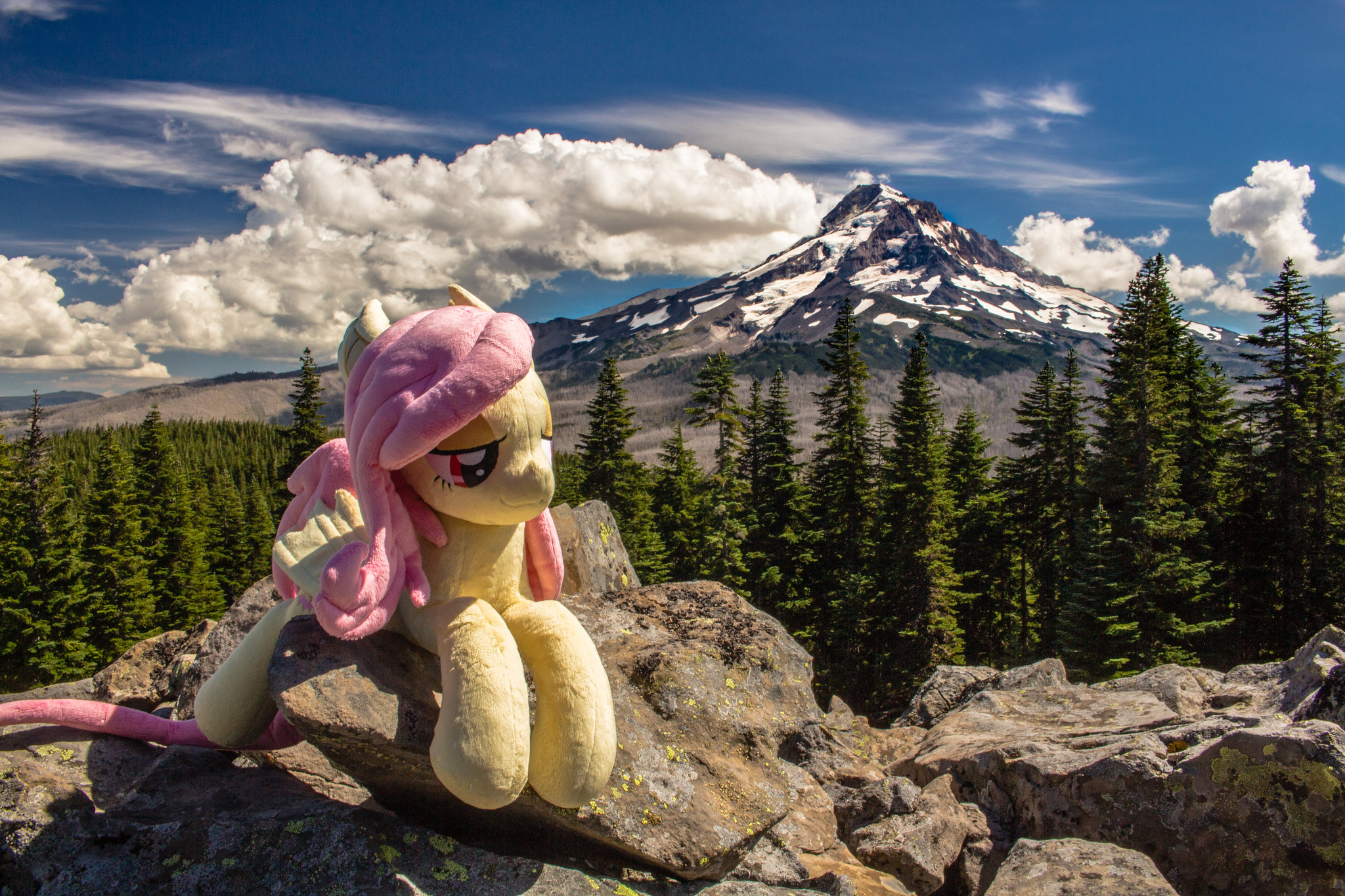
A little bit further, you get to the main viewpoint, Owl Point. Keeping to tradition, here is Flutterbat again!
I then set up my camera and shot two timelapses of her with the clouds rolling over mountain for a film (this still image was pulled right out of it).
The north-northwest face of Mt. Hood looks absolutely dramatic. Love the way the evening light casts shadows on the mountain!
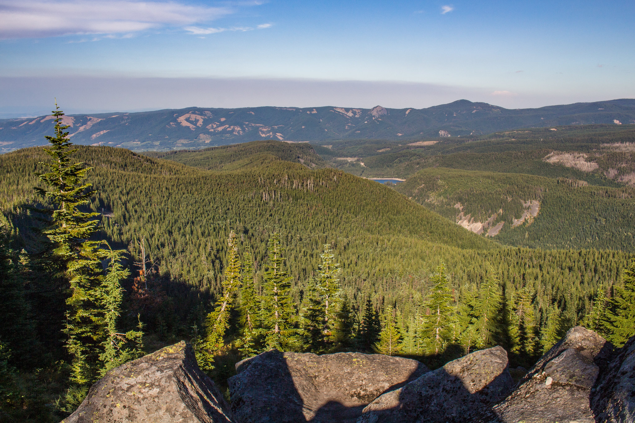
To the east, Lawrence Lake from Owl Point.

Late evening light on Mt Hood from Owl Point
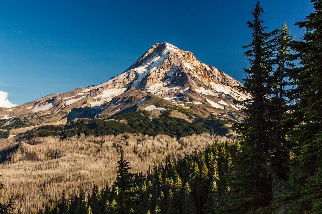
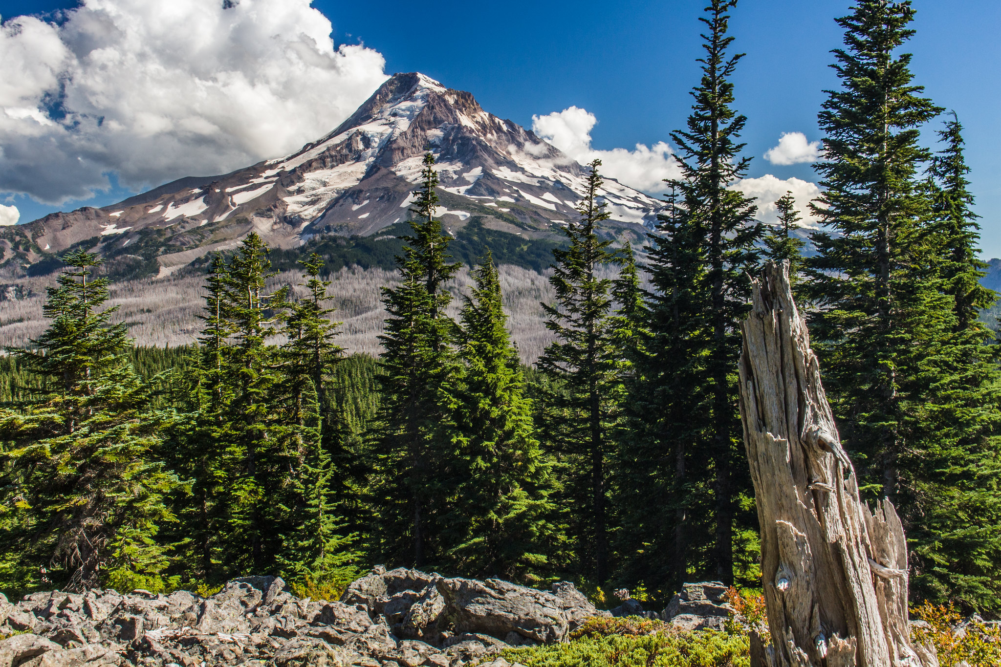
On the way back, took one last photo of Mt Hood from the first unnamed viewpoint along the Old Vista Ridge Trail.
Opening Photo:
Mt. Hood gleaming in afternoon sunlight from Owl Point.
Trailhead Access:
Two of the three road access points were closed because of replacement of a bridge, so we drove in via the Parkdale route. The road is perfectly fine for a car, although the last few miles of gravel road to the trailhead has a few ruts. But even a prius could make it. On the paved section, there's also quite a few potholes, but they're clearly marked in yellow spraypaint (every single one, that we could tell).
Trip Report:
Started out on the Vista Ridge Trailhead.
Turned right onto the Old Vista Ridge Trailhead, which was recently restored by volunteer efforts and brought back into the Mt. Hood NF trail system.
Trail started out through montane forests dominated by huckleberry on the forest floor. Lots of beautiful mountain hemlocks, too. Absolutely love this tree species.
Reached a pair of two viewpoints. Each one had a view mainly to the east, with partially-obscured views of Mt. Hood. Katsuk Point is the table-like plateau-like formation on the far left.
Once we reached the first meadow/clearing in the forest (it is literally the first true meadow you come across going north), we followed a very faint, partially non-existent user path up to Red Hill. While there was a faint resemblance of a path on the first half of the journey, the second half (once you start switchbacking up Red Hill), there is no path at all. Most of it is through somewhat dense montane forest, carpeted with huckleberry and beargrass. (So, just a warning, you should be comfortable with off-trail hiking if attempting Red Hill.)
Very faint user path part-way to the base of Red Hill.
Not much of a path here, but you can sort of tell where people generally walk (closely follows the route described by Tom in the field guide).
Once we caught the ridge line, we followed it up to the top.
Mt Hood from Red Hill. It isn't a particularly photogenic viewpoint, or even all that beautiful compared to the other major viewpoints, but it is still definitely worth it for the unique views and red volcanic pumice (which is commonly found in central Oregon).
After getting back to the Old Vista Ridge Trail, we continued on and turned right onto the Rockpile junction.
The trail to The Rockpile is short, and passes through meadows. There is two unnamed junctions here with trails to the left. Just keep to the right at both spots to get to The Rockpile. I believe one of those two paths may be user trails leading partway to Katsuk Point(?).
Here is the view from The Rockpile. It is probably around a 50-100 feet tall rockpile.
A wild Flutterbat appears!
We would have also done the side trip to Katsuk Point (off-trail), but there wasn't enough time left between hiking and wanting to take a timelapse at Owl Point.
Back onto the Old Vista Ridge Trail, we kept going north, passed the junction for Owl Point, and reached the signed viewpoint for Alki Point. The view is less than a hundred feet to the left.
Mount St. Helens from Alki Point. It was rather hazy and cloudy to the north, so the visibility wasn't that great. Normally, you can also see Mt. Rainier from here (but not today).
Mt Adams (at least the base of it
Interesting rock formations.
Back on the Old Vista Ridge Trail, we turned around and went back south, until we reached the signed junction for Owl Point again, and turned right.
After walking the short spur to Owl Point, the trail comes to an overlook, and turns left to follow the edge of the precipice.
A little bit further, you get to the main viewpoint, Owl Point. Keeping to tradition, here is Flutterbat again!
I then set up my camera and shot two timelapses of her with the clouds rolling over mountain for a film (this still image was pulled right out of it).
The north-northwest face of Mt. Hood looks absolutely dramatic. Love the way the evening light casts shadows on the mountain!
To the east, Lawrence Lake from Owl Point.
Late evening light on Mt Hood from Owl Point
On the way back, took one last photo of Mt Hood from the first unnamed viewpoint along the Old Vista Ridge Trail.