
Here is a "mega post" about my recent section hike on the PCT from Seiad Valley to Etna. One of my traditions is to give out trail magic to all the nobo thru-hikers I meet. Over the years I've done this for about 2,500 hikers. I realize that this may likely be a TL;DR, but for those interested in the detail of the PCT and of the current class of thru-hikers, I think you'll enjoy it.
Mike (aka GoalTech)
2018.19 - PCT Day 1 - Seiad Valley to Grider Creek
“Hot!”
7/11/18
Rating: 1 Star
Miles: 6.5
PCT Miles: 6.5
PCT Miles: 1653-1647
Time: 2 hrs, 40 min
Avg MPH: 2.5
Elev Min: 1,400’
Elev Max: 1,800’
Total Ascent: 625’
Total Descent: 295’
Elev Change: +330’
Steps: 23,900
Flights of Stairs: 5
Time Up: 4:30
Sleep Hours: 3.5
Start time: 3:30
Temp Low: 78
Temp High: 105
Thru-hikers: 10/10
Other hikers: 0/0
Male:Female hikers: 80%/20%
Hikers with a trail name: 100%
Longest time without seeing a hiker: 1:10
Wildlife: Lizard, Squirrel, Butterflies, Duck, Dipper Bird
Chips: 9/9
Via: 0/0
Nips: 1/1
Declines: 0/0
Verizon Cell Service: Limited 1x
Klamathon Fire * Seiad Valley Cafe * Klamath River * Grider Creek
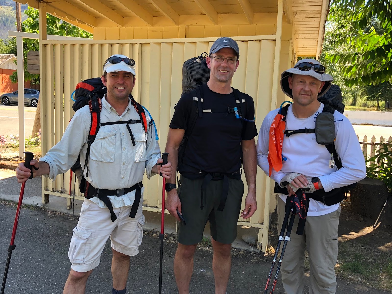
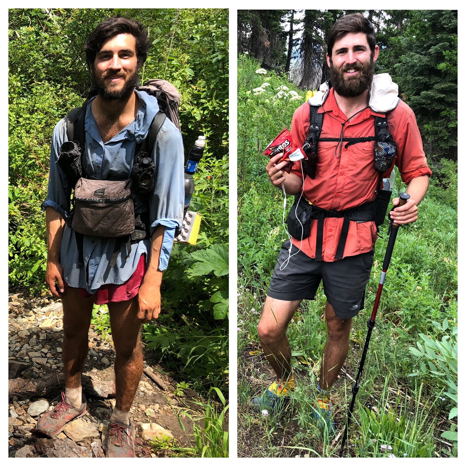
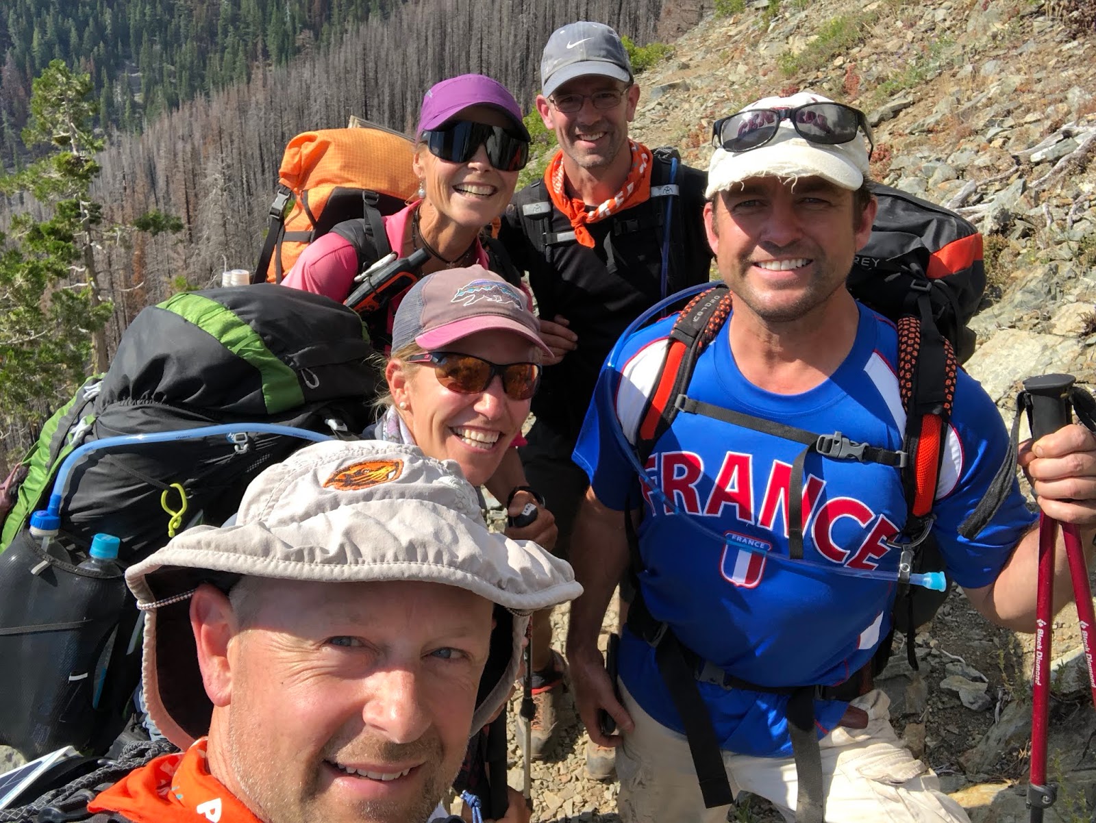
Opening Shot: Our crew taken as a selfie by Groova
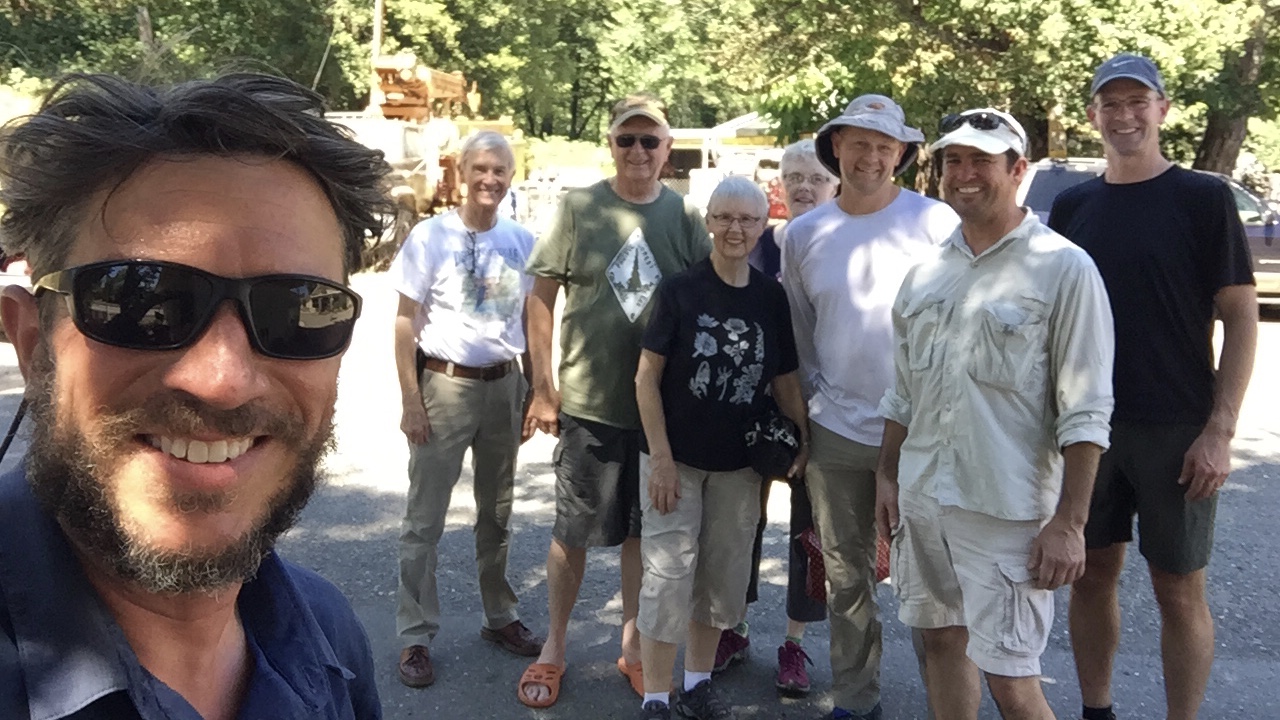
My crew converged on my house last night for an early start. In my typical fashion, I wasn’t fully packed and ready to go until about 1am. I swear, one of these days I’m going to actually be ready with time to spare so I can go to bed at a reasonable hour!
We were up a short time later at 4:30am for a 5:30 departure south down to California. We took my electric car on its maiden road trip voyage. We stopped in Eugene to top off the battery and get a bite to eat at McDonalds. As we walked across the street from the charger, we were visiting with a local who was interested in our electric vehicle (EV). I was talking about how it was so viable now and how it was fun to be a pioneer in this new generation of technology and that I’m actually even a descendant od Oregon pioneers. His response was, “Well...you know what happens to pioneers!” (hardship and death...ha!). That was foreshadowing, as we realized when we got back to the car that the charger never started charging! Oops. It wasn’t a problem, as we had plenty of juice to get to Grants Pass and were only opportunity charging.
On to Grants Pass we went where we charged while having breakfast at the Black Bear Diner. I really like pancakes, so both Mountain Goat and I both ordered them. It was something like $7.50 for one, $8.00 for two, and $8.50 for three. We both went for the best “deal”! As we were nearing our limit, Goat said that we probably both wasted $0.50 as we both could barely finish two of the large pancakes. It was like a mini Seiad Valley Pancake Challenge!
We finished up and got back to the car with a full charge. We made a stop in Medford, as Tooth Fairy had his entire pack stolen out of his garage just a couple of days ago. The last item he needed to complete his new kit was a pack. We went. To the REI where he got an Osprey Exos 58, which was a great looking, reasonably light pack, which also happens to be one of the more popular packs on the PCT. While they were shopping, I picked up a box of trail magic chips at the local Costco.
Our journey continued as we crossed the border into California. Just after the crossing, we drove through the remnants of the Klamathon Fire which had just burned over the freeway a couple days prior. It was eerie to see the charred black on both sides of the freeway with burned structures and the smell of smoke in the air. The entire interstate had been closed for about a 24-hour period.

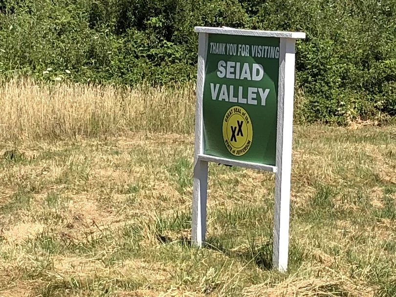
We must have been so ensconced in the fire scene, as we missed our exit to Seiad Valley...oops! We continued down to Yreka, got off there, and took what was kind of a frontage road, parallel to I5, back to the Klamath Highway to the north, to continue west to Seiad Valley. It sure seems to take awhile to navigate down the windy highway before finally getting to the hamlet of Seiad Valley, which has a population of about 250 in its greater “metro area”.
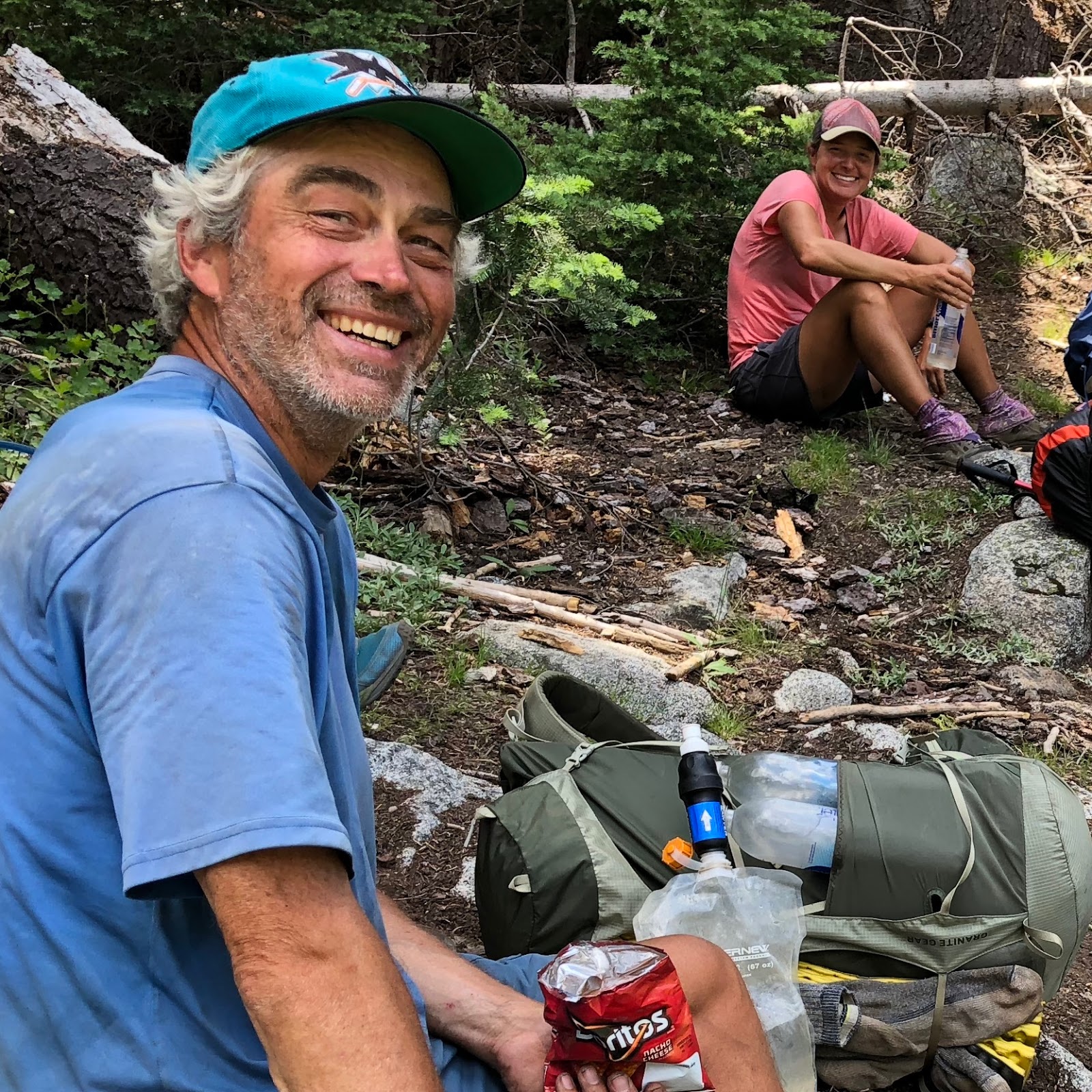
We were only about 10 minutes late with our detour. We met the Foursome at the cafe. This includes my parents Pilot and Shotgun, along with their best friends Magellan and Mama Bear. The Foursome is always so generous in helping us with the logistics of our hikes and finding excuses to vacation in the areas where we hike. They will be taking my car to Etna where it will be waiting for us at the end of our hike.
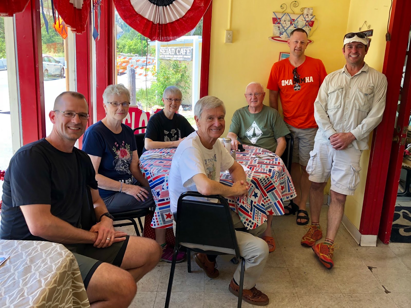
I wasn’t that hungry after our massive pancake breakfast, so I just had one of their famous shakes (malted peanut butter with whipped cream!).
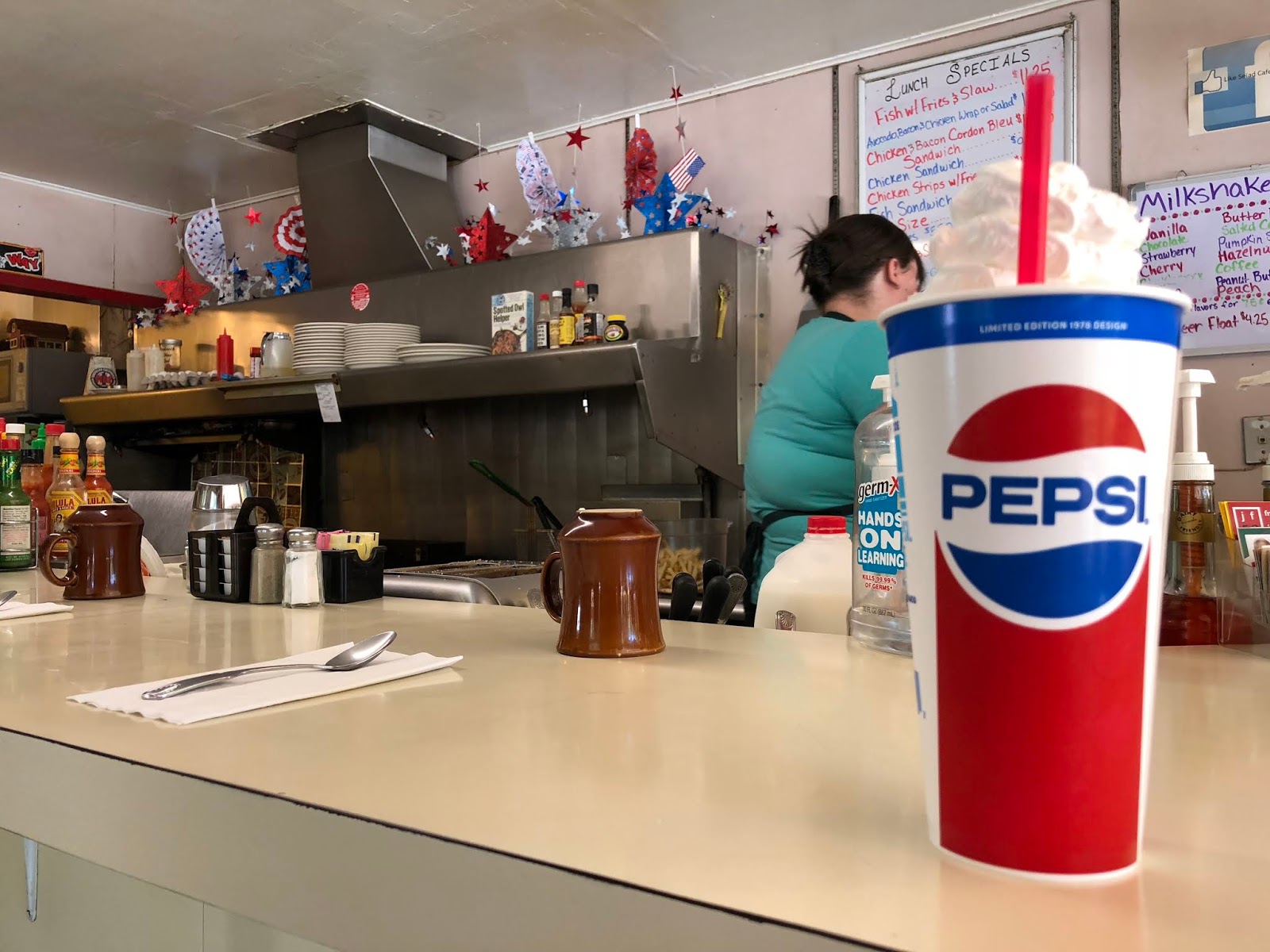
We had a nice visit with the owner of the cafe, Shanda. She even showed us the remnants of the latest hiker’s attempt to win the infamous Seiad Valley Pancake Challenge. She said it was a valiant effort, but not to be. This is what remained of the 5 pancakes.

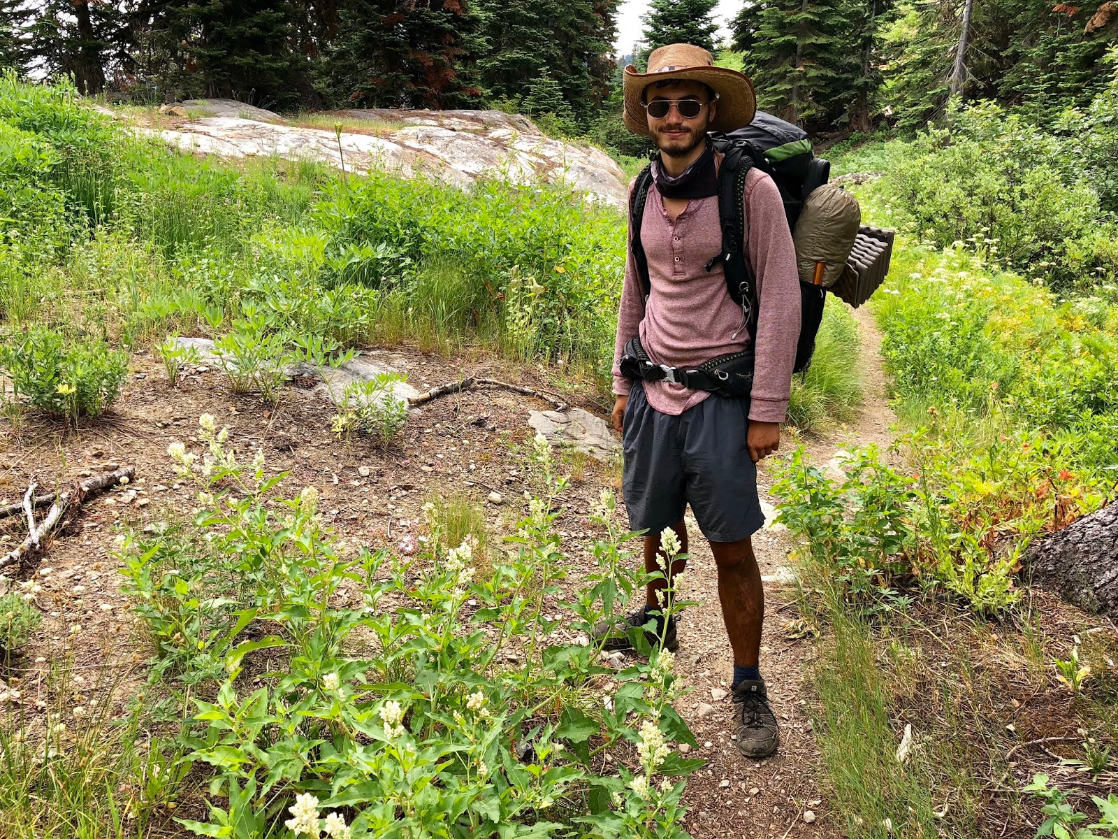
After our meal, we headed into the heat of the day to prepare for our hike. It was in the upper 90s as we readied our packs. We met our first set of thru-hikers in Everest from India, Seeker from Colorado, Fruit Salad from Alberta, Pace Car from
Colorado, Shiva from Tennessee, and Groova from Colorado.
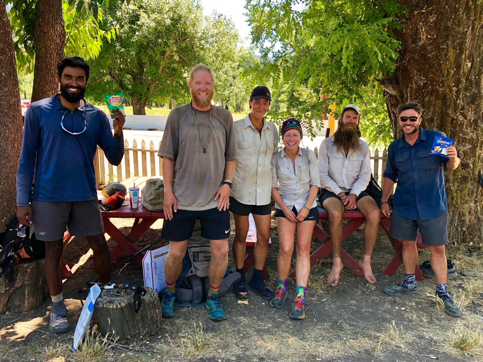
Next was Foxtrot from New Hampshire.

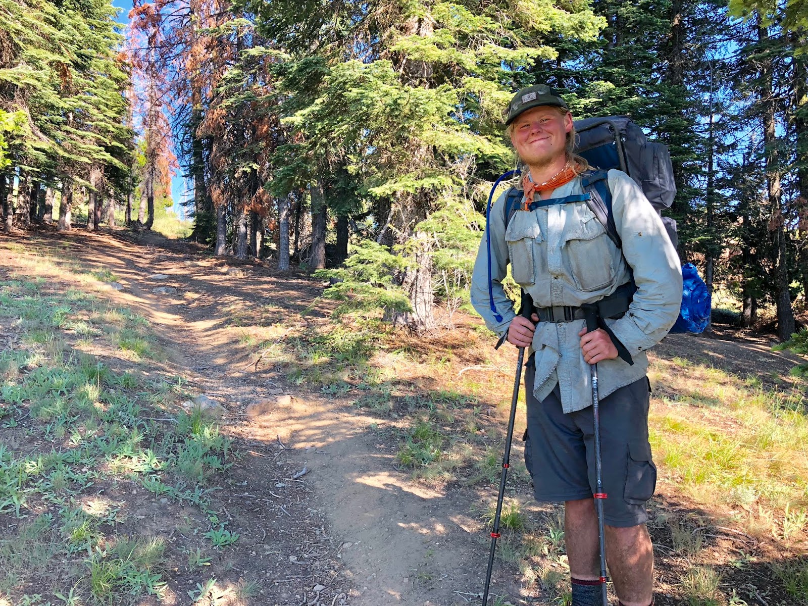
We had our official pack weigh-in with the following results:
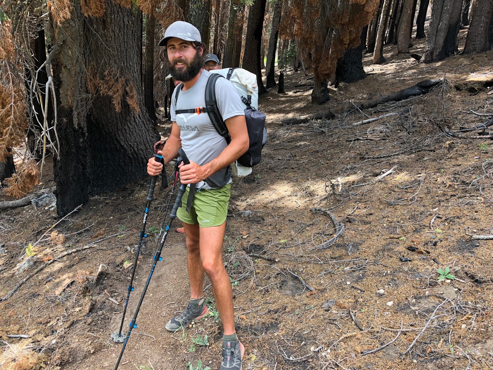
Mountain Goat: 33.0 lbs
Tooth Fairy: 27.1 lbs
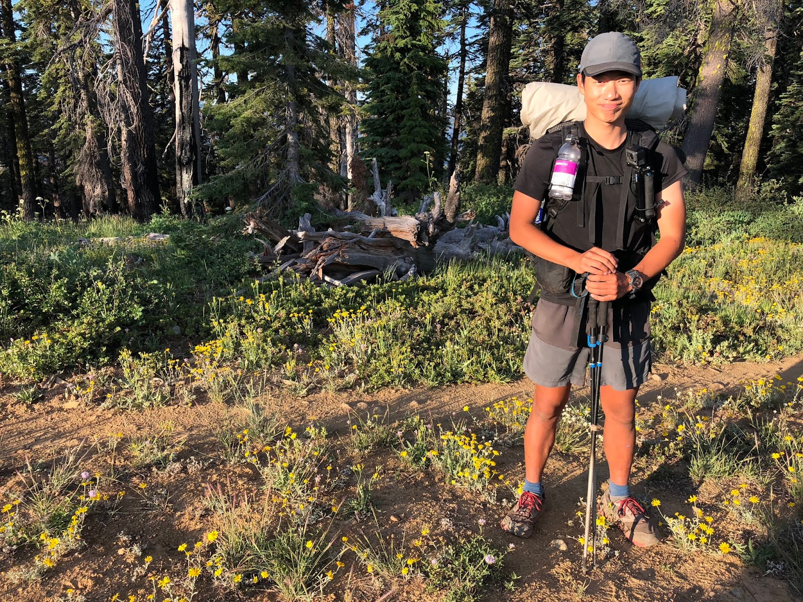
GoalTech: 24.8 + 9.7 magic = 34.5 lbs
At 3:00 we were off on our hike! My 20th section hike of the Pacific Crest Trail.
We left the Foursome, the cafe, and the general store. This building pretty much is the totality of Seiad Valley’s town.

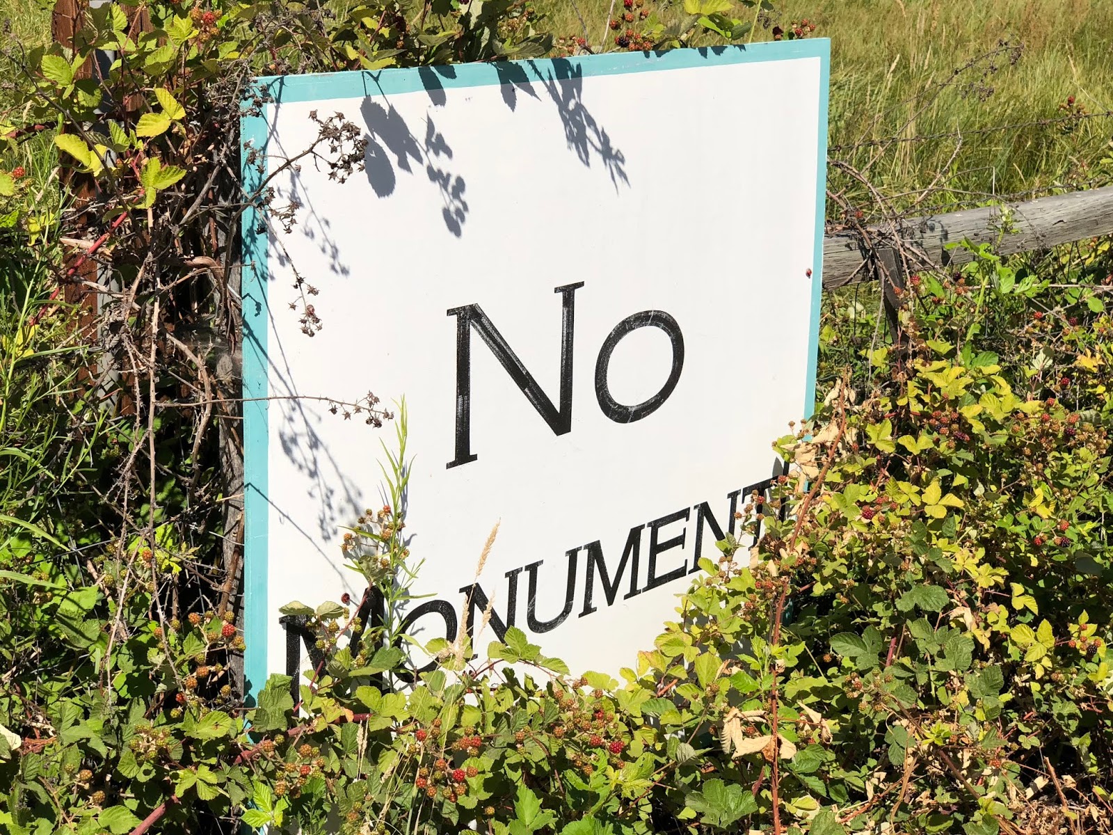
We are also in the heart of the mythical State of Jefferson. This is the epicenter of the movement to cede from California and Oregon. There is a reasonably organized movement to attempt to form a new state that would be made up of Northern California and Southern Oregon. I’m not sure how that economy would work out for them, but they sure are passionate about it! They even have their own logoed merchandise.
Pretty much every property in the area (I’m not exaggerating) has a “No Monument” sign too in their protest to try to keep any national monument away from them which might impinge on their land rights.
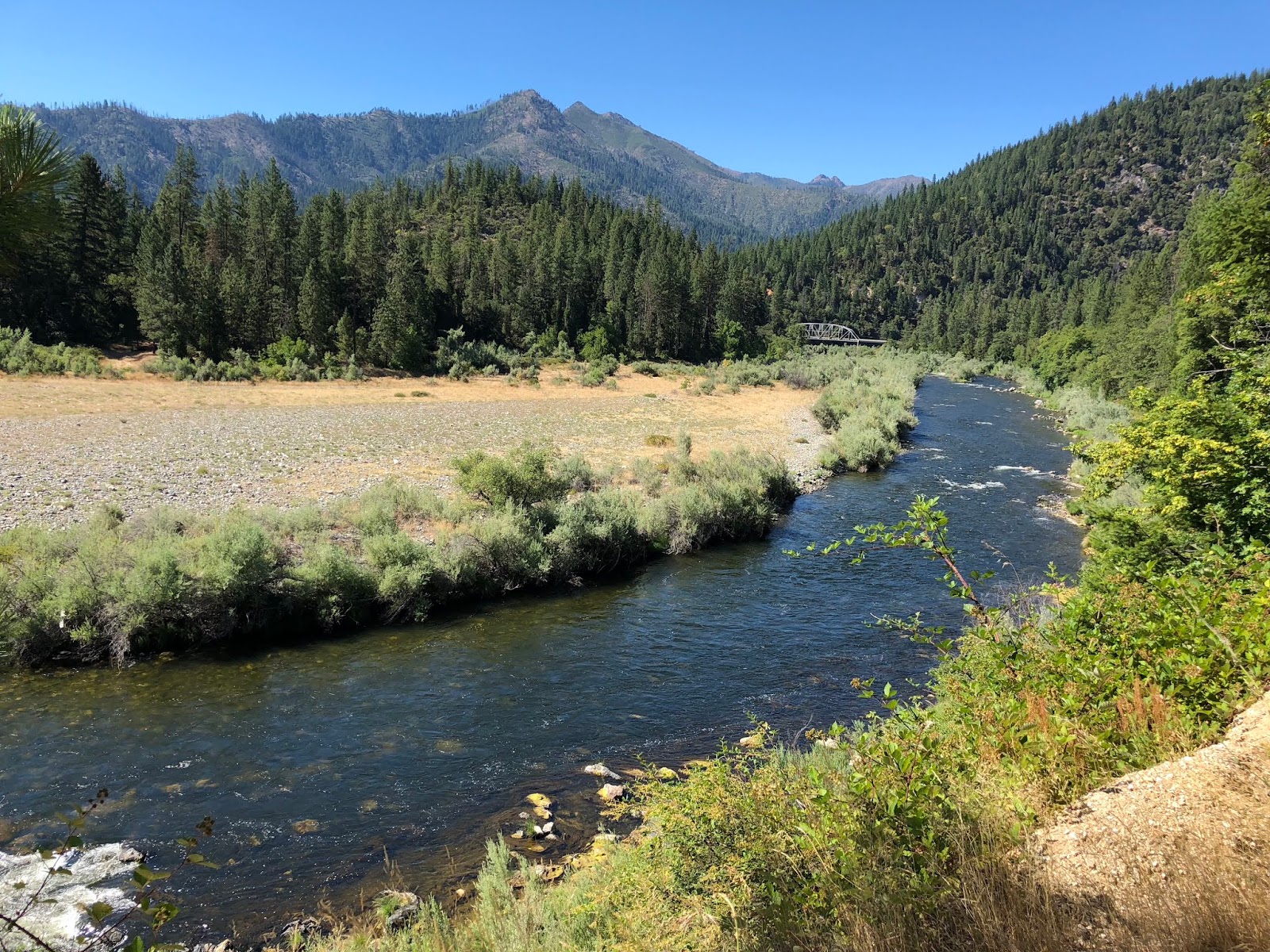
The start of this section is about as unglamorous as it gets. We walked on the edge of the highway, in 105-degree heat, with no breeze, across the iconic Klamath River bridge.

The view to the south, up the river, was our first decent view of the hike.

Our first hiker on the “trail” was Too Fast from Montana.

After the first mile and a half, it got better as we turned south off the highway onto the also paved, Grider Creek Road. At least this was a country road with some shade. We next met Gandalf from Sweden.
There were farm homes to see along the road that followed along the Klamath River on its opposite shore from the highway. After another hour of slight uphill, the road turned to gravel. We could pretty much look across the river to see that we were basically back to our starting point on the other side. It was pretty though.
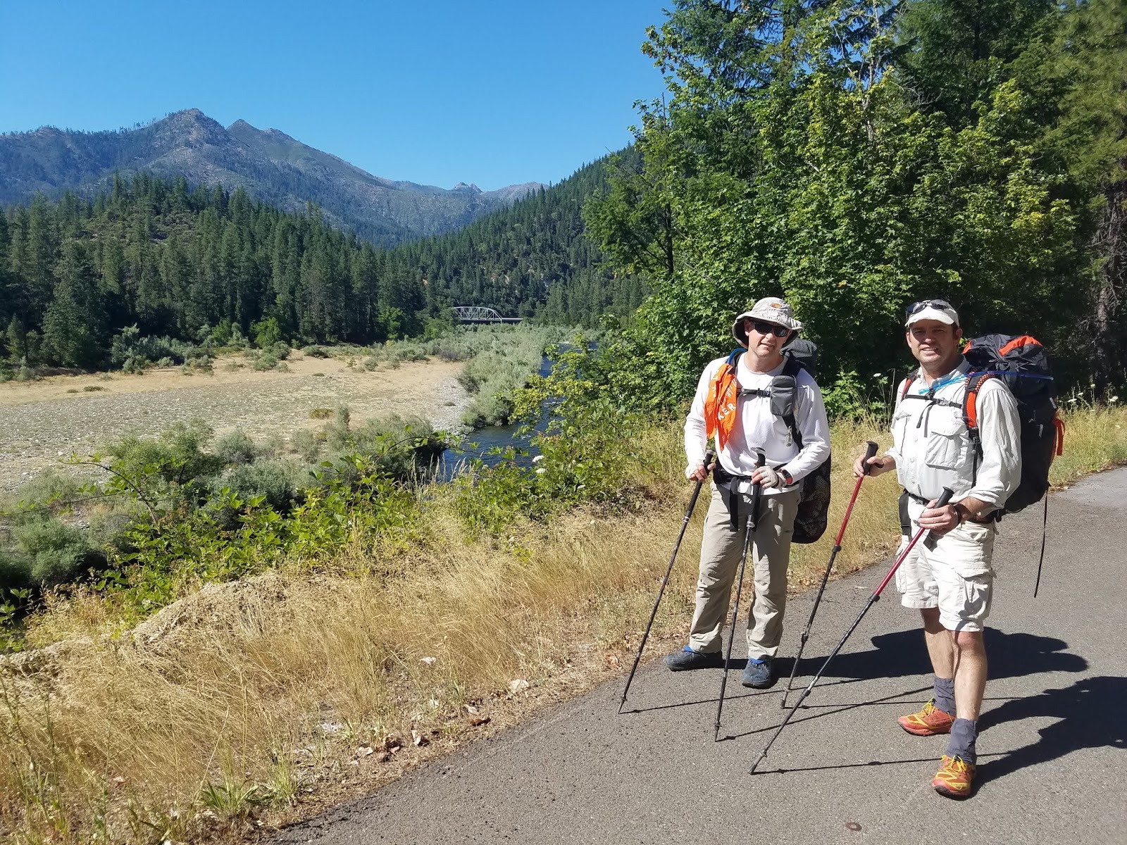
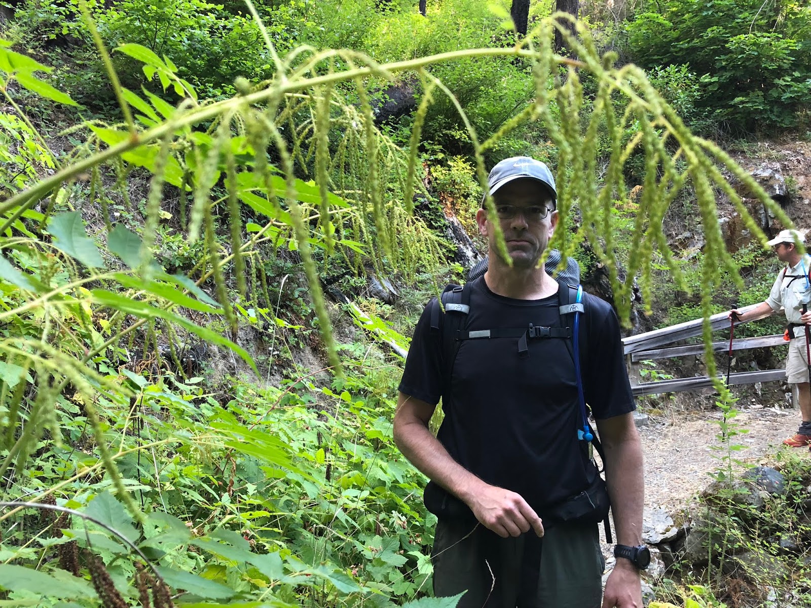
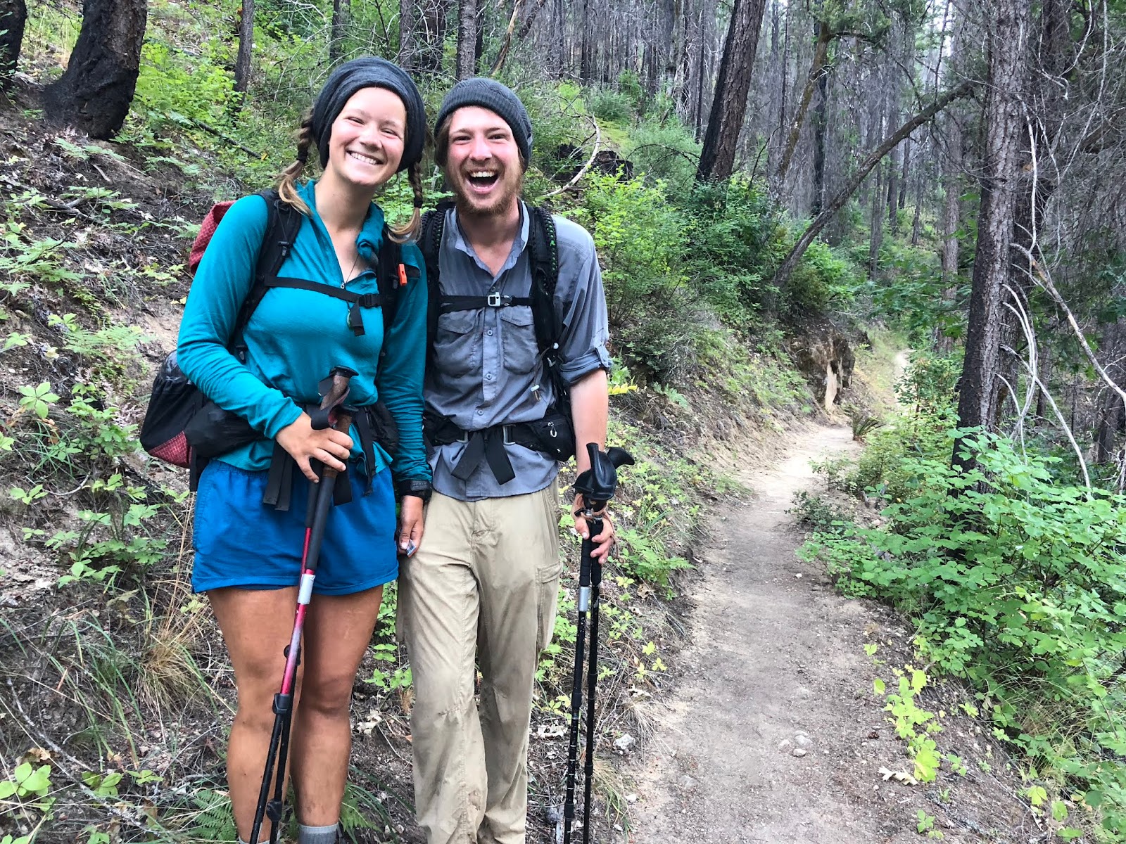
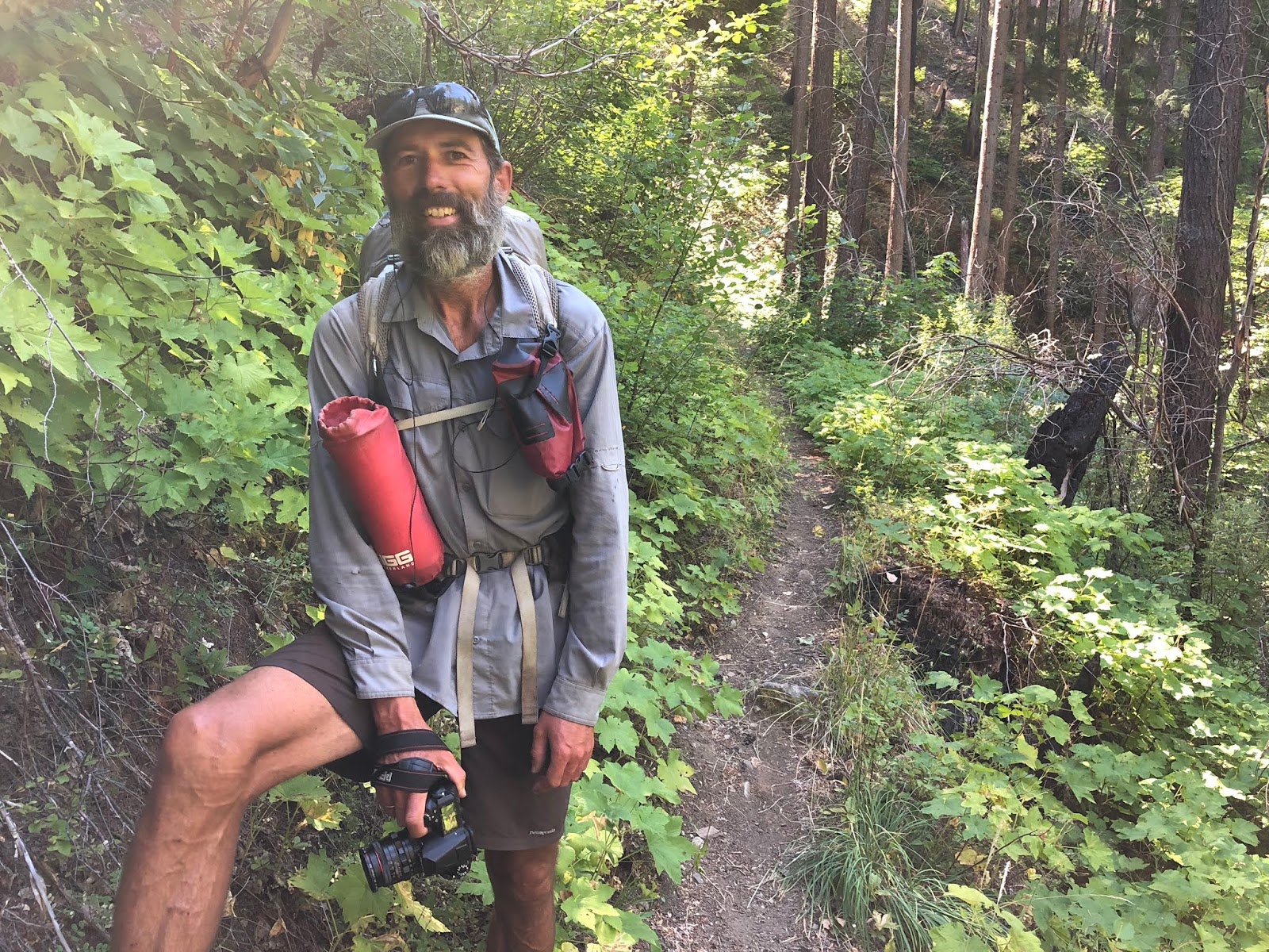
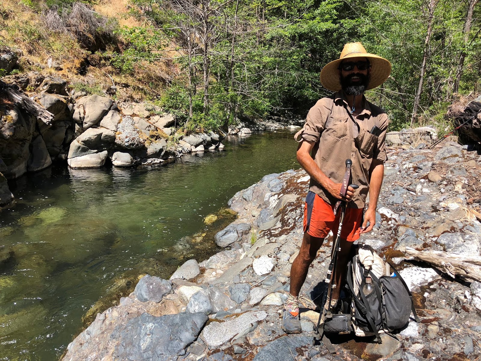
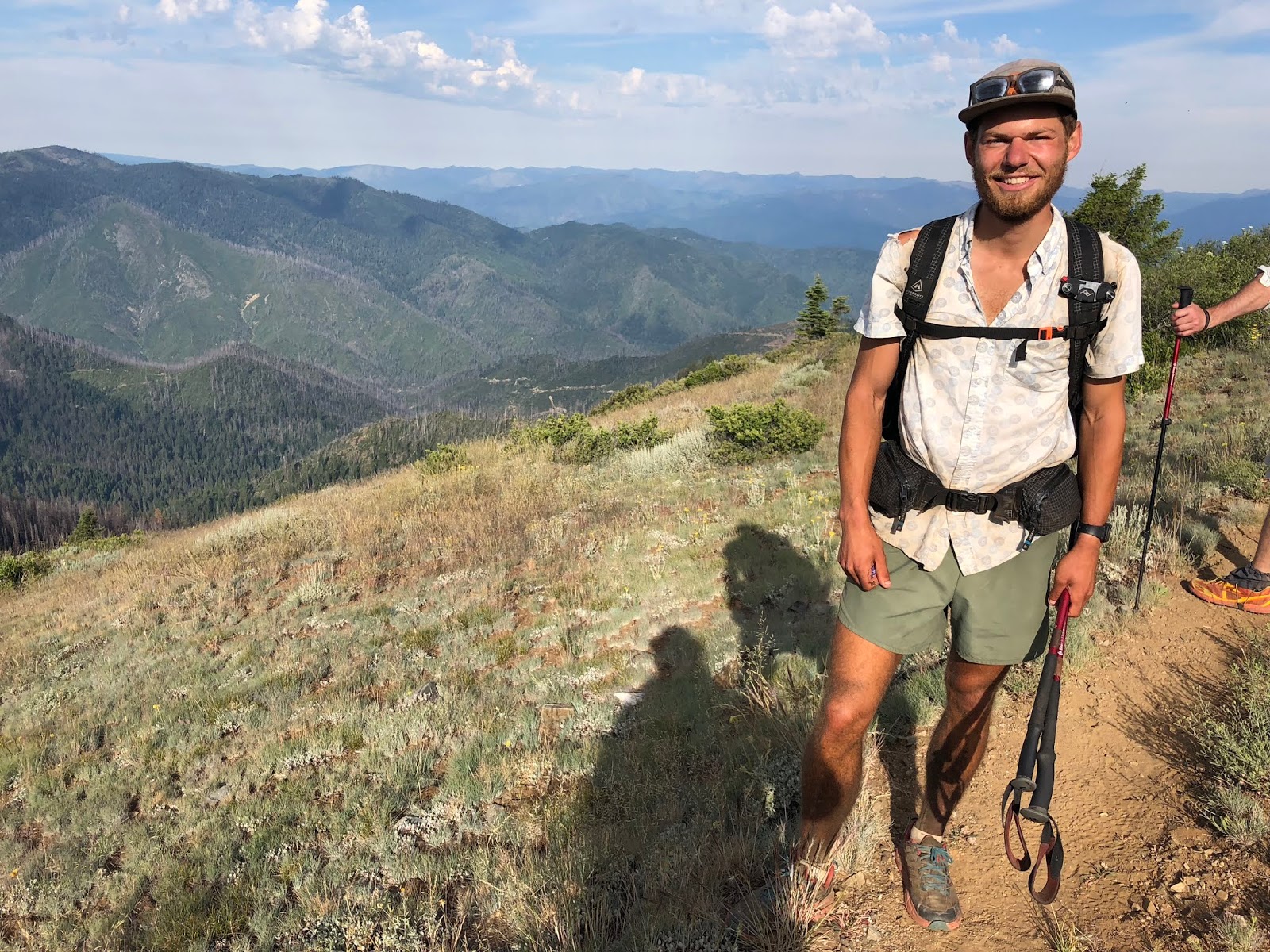
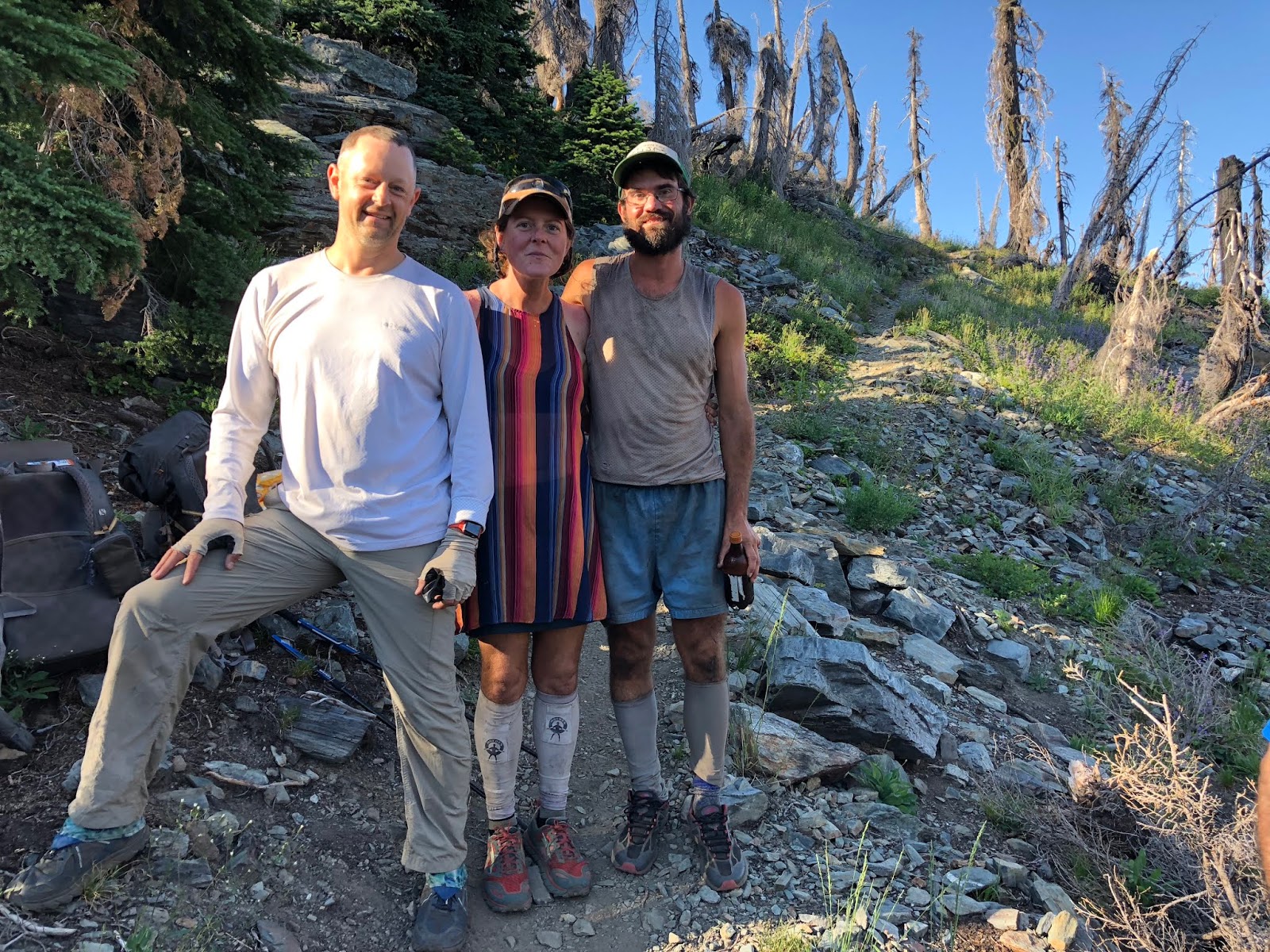
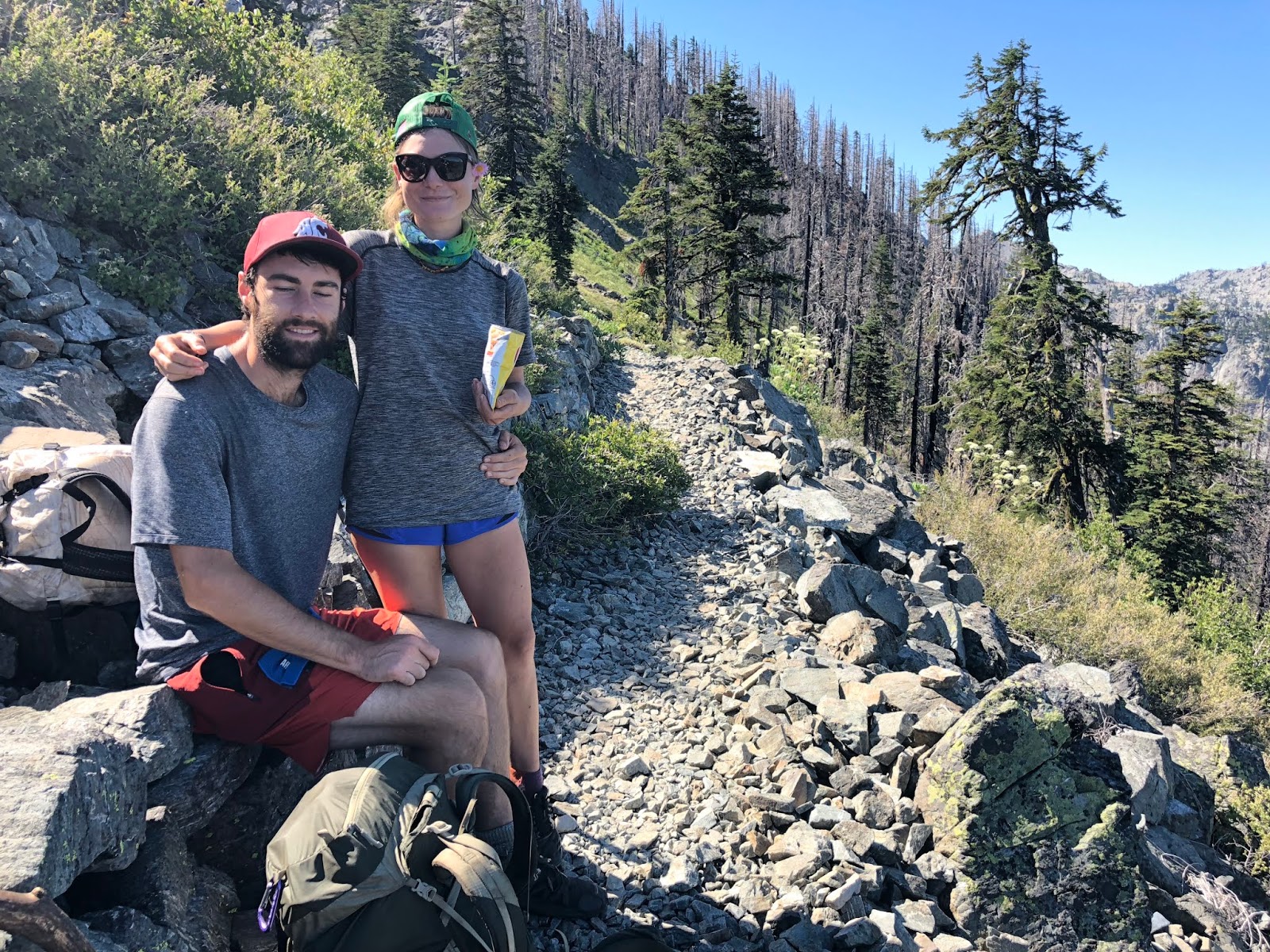
Here is a rare shot of me, along with Tooth Fairy. You can see the Klamath Bridge that we crossed earlier, in the background.
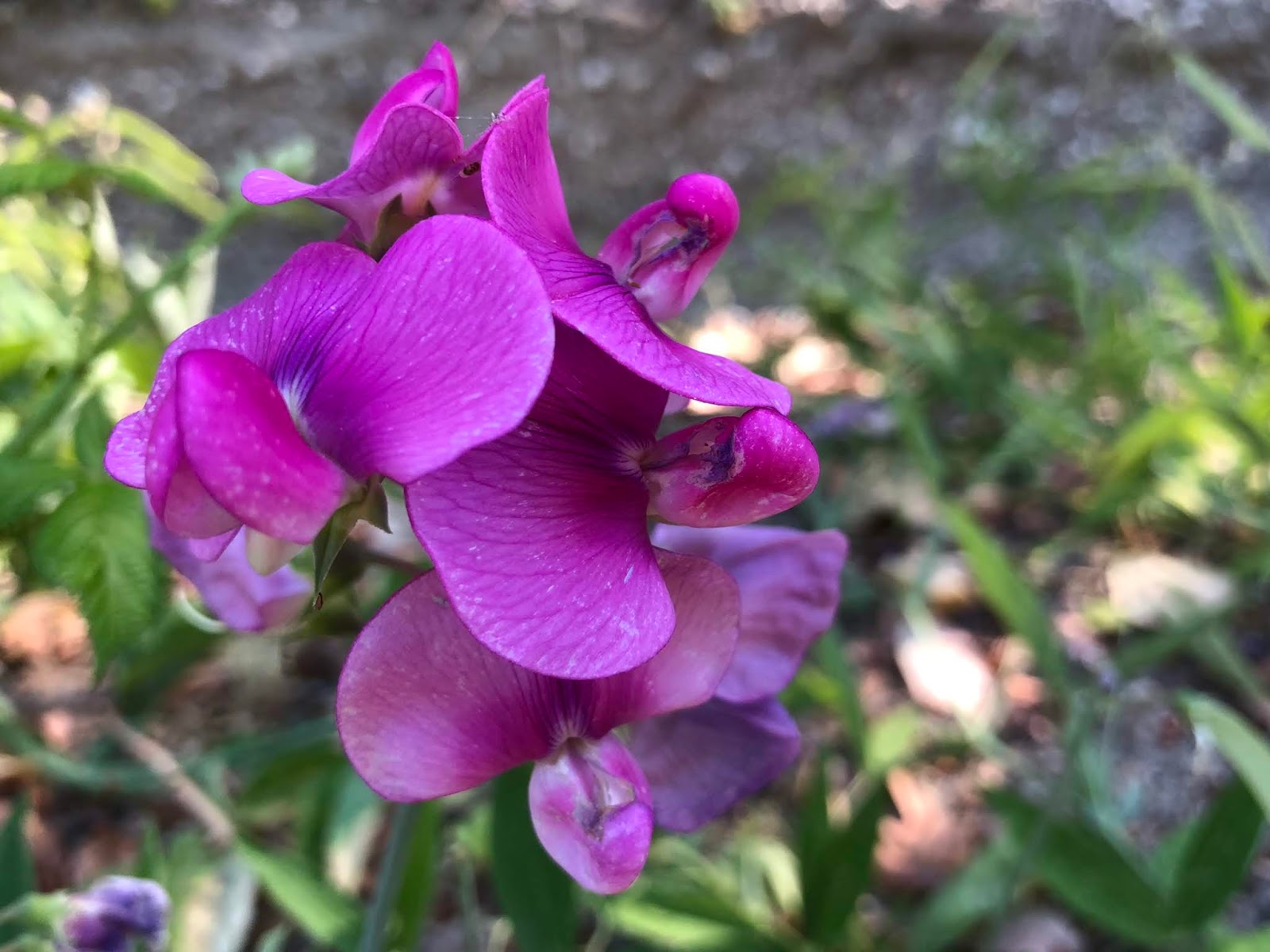
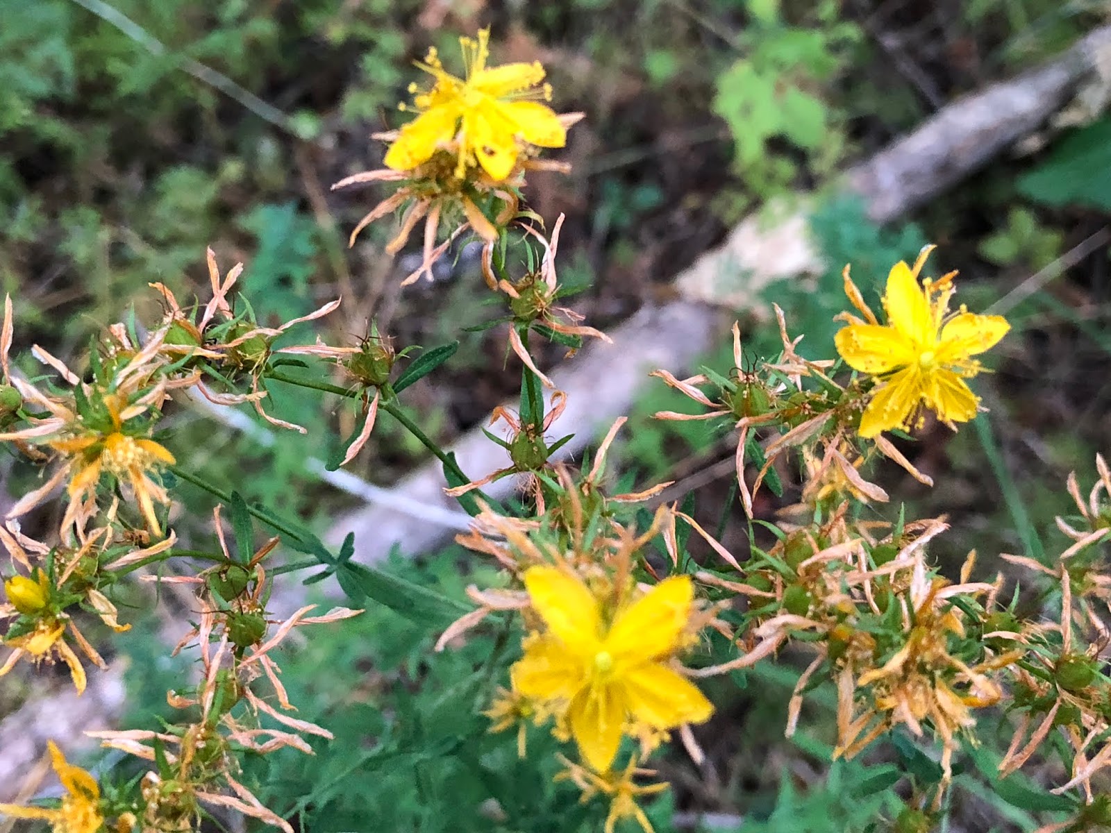
There were limited flowers today, but I did see this Tangier Pea?
Next we met Skipper from San Diego. He took the “gramma candy”, as he called it, for his trail magic. It’s funny to me how universally branded hard caramel candies are with older people.

We didn’t see any PCT blazes, but this made us feel that we were on the right track.

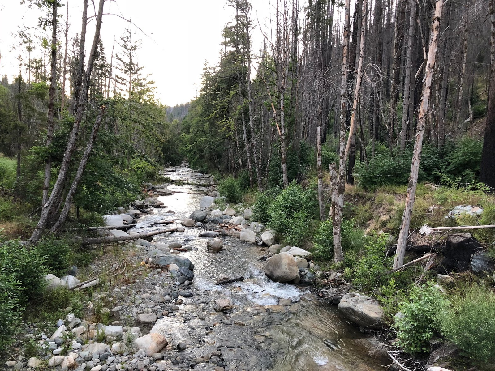
I was really dragging with the combination of the oppressive heat and more importantly, the sleep deprivation. We finally made it to our destination at 6:15, the “glamorous” Grider Creek Campground. This seemed to be another casualty of the California abandonment of their campgrounds, due to funding challenges.

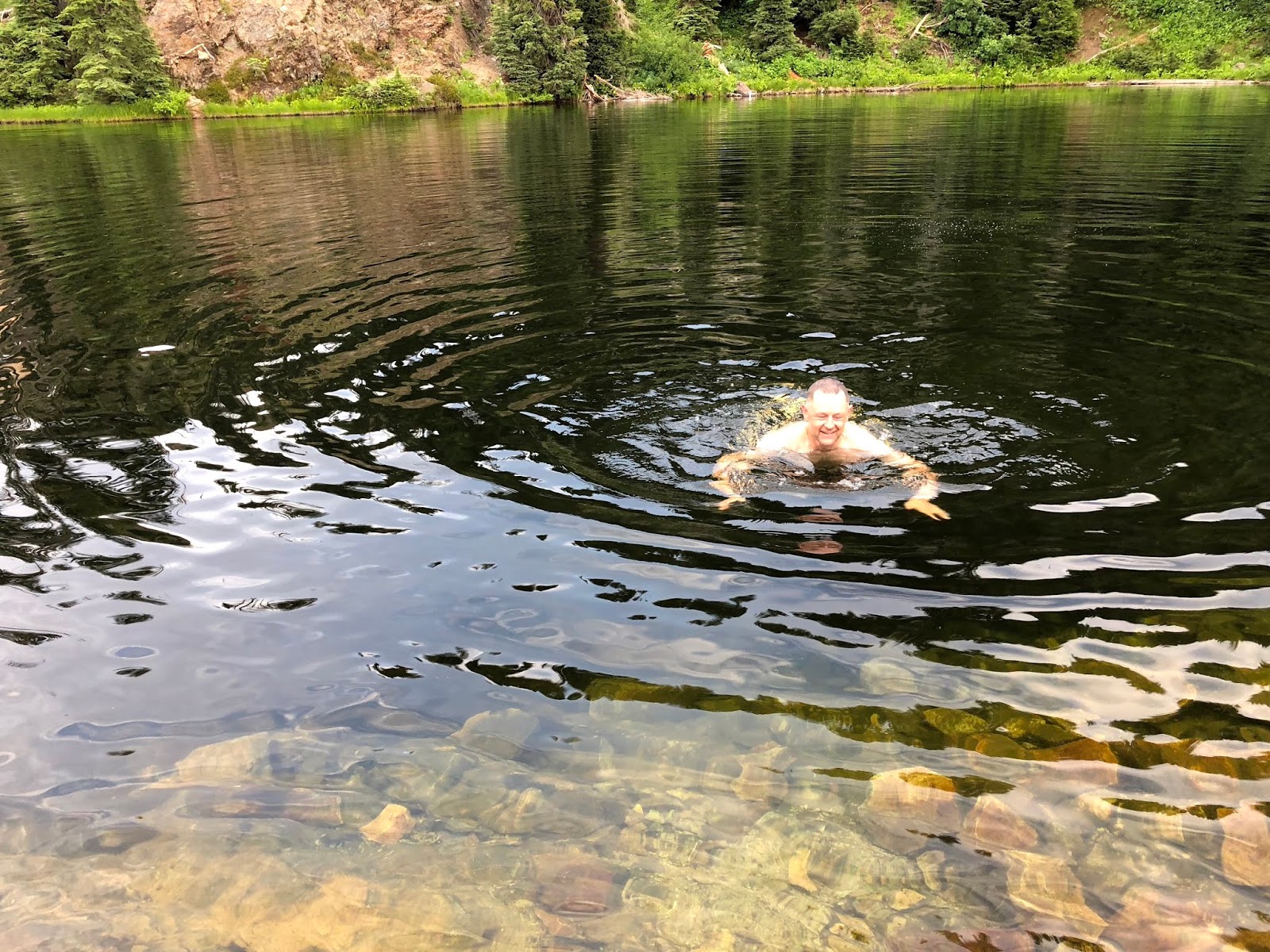
We enjoyed soaking in the refreshing Grider Creek.

We set up camp. It was nice to be able to finally relax from our harried schedule of trying to get down here and on-trail.

I think it’s safe to say that this was my least favorite day ever on the PCT. It wasn’t bad really, but it’s hard to compete with a 105-degree road walk! Ha!
Summary:
An oppressively hot day with no breeze, hiked in a sleep-deprived state. Felt like a zombie a bit slogging up the road walk.
Favorite experience of the day:
Getting to camp and swimming in Grider Creek.
Least favorite experience of the day:
Road walking on asphalt in 105-degree heat with no breeze.
Today's route (top-to-bottom):

Today's elevation (right-to-left):

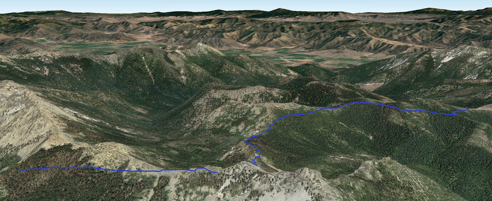
Google Earth with Track:

-GoalTech
www.GoalTechHikes.com
@goaltechhikes (Instagram)
2018.20 - PCT20 Day 2 - Grider Creek CG to Buckhorn Spring
“Butterfly Apocalypse”
7/12/18
Rating: 3.5 Stars
Miles: 14.9
PCT Miles: 14.9
PCT Miles: 1647-1632
Time: 11 hrs, 50 min
Avg MPH: 1.3
Elev Min: 1,700’
Elev Max: 6,600’
Total Ascent: 6,535’
Total Descent: 1,655’
Elev Change: +4,860’
Steps: 42,000
Flights of Stairs: 209
Time Up: 4:30
Sleep Hours: 7
Leave Camp: 5:50
Temp Low: 65
Temp High: 92
Thru-hikers: 21/31
Other hikers: 0/0
Male:Female hikers: 76%/24%
Hikers with a trail name: 100%
Longest time without seeing a hiker: 2:20
Wildlife: Pacific Wren, Yellow/Black Butterflies, Black Butterflies, Orange/White/Black Butterflies, Deer
Chips: 10/19
Via: 4/4
Nips: 5/6
Declines: 1/1
Verizon Cell Service: Couple miles LTE on north side of crest
Grider Creek * Swimming Hole
Opening Shot: GoalTech ready with trail magic

Day 2 promised to be a very hot day with a ton of vertical ascent, so we woke up and broke camp before dawn and started our hike just after dawn at 5:45am crossing over Grider Creek.
The flowers today were more prolific, including Sedum,
Beardtongue,

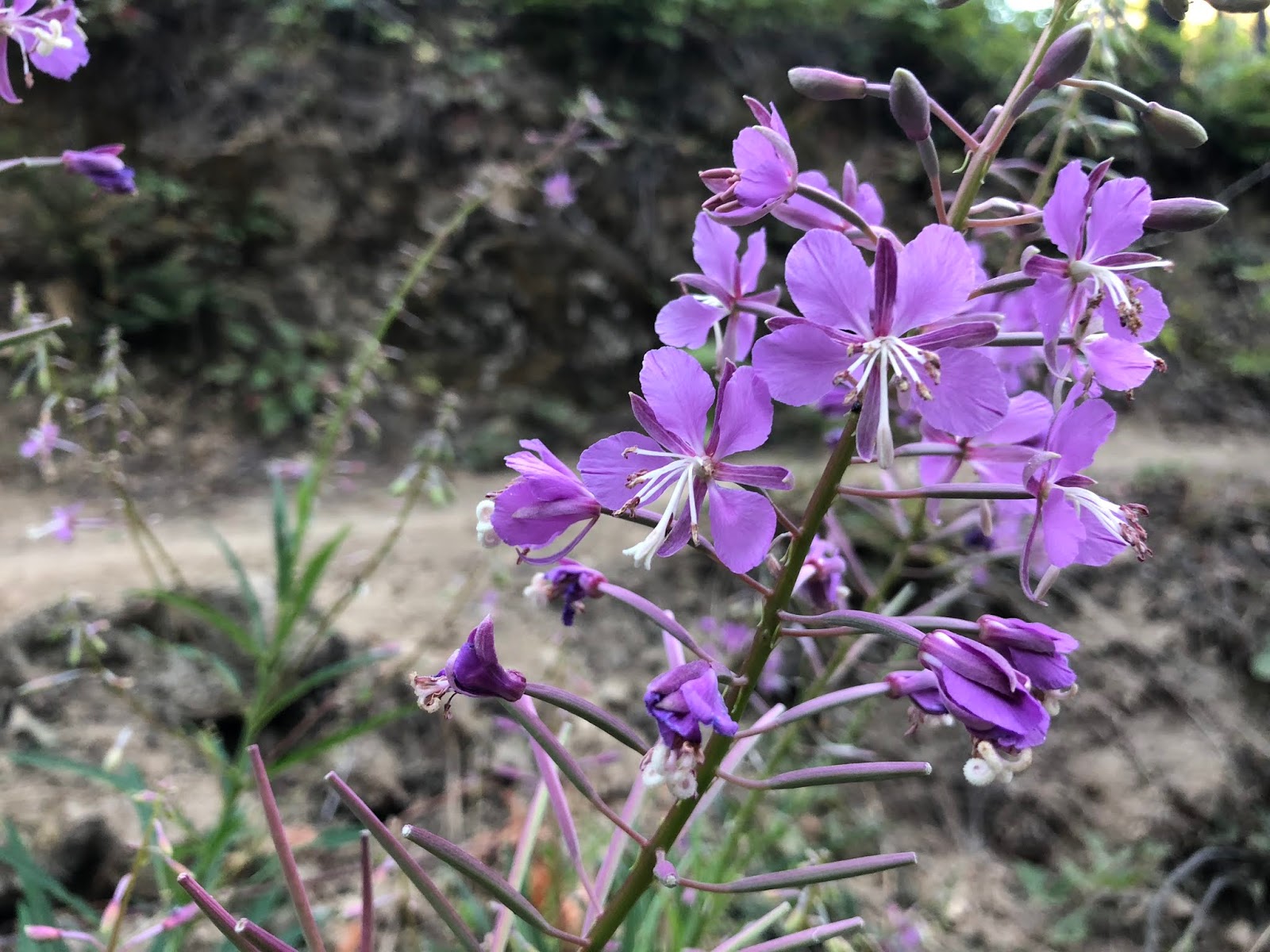
Fireweed...which I’ve never seen this purple as usually it’s pink.
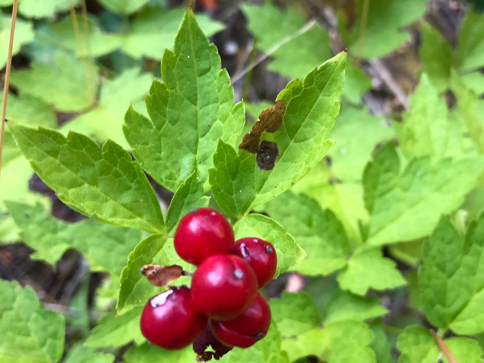
Baneberry,
Goatsbeard,
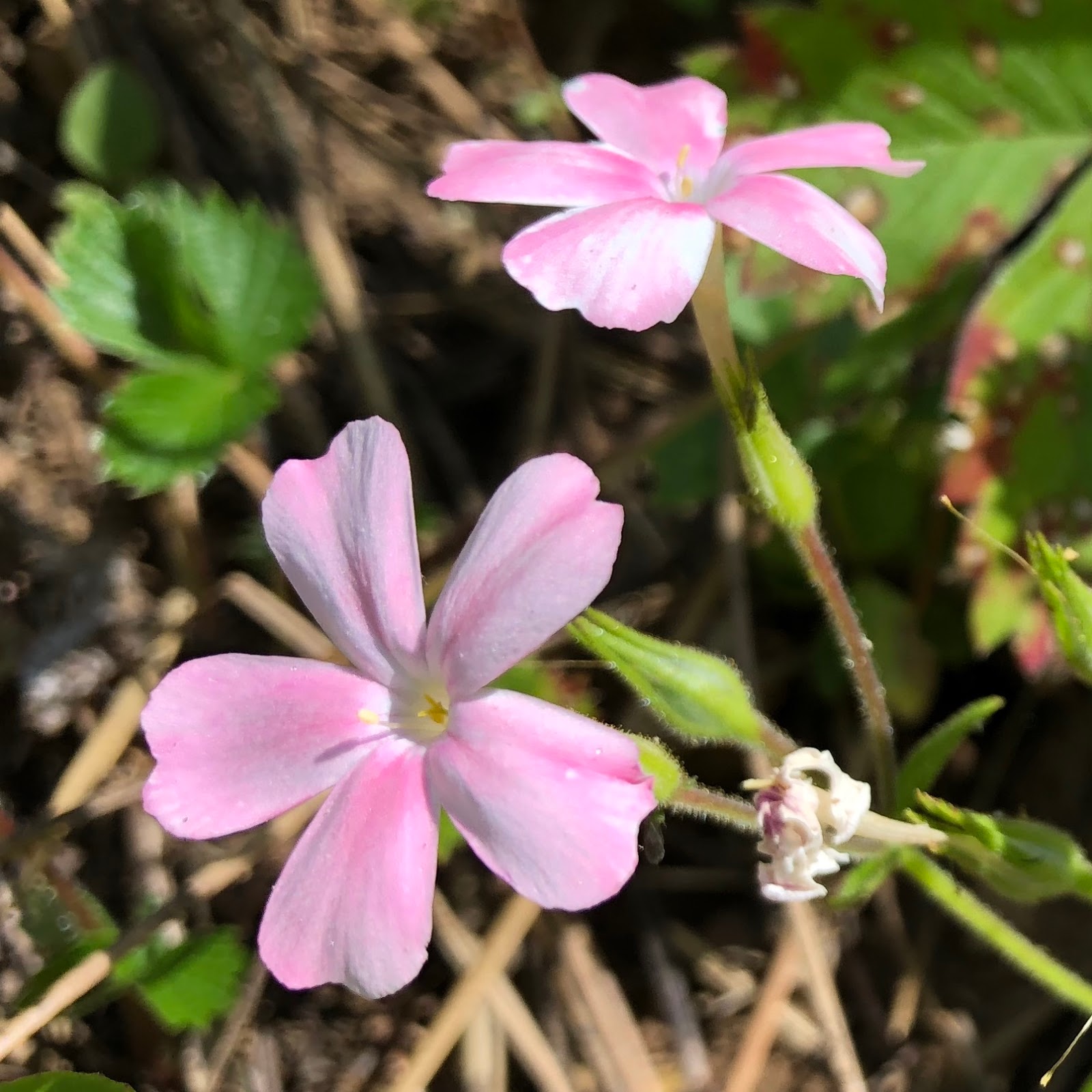
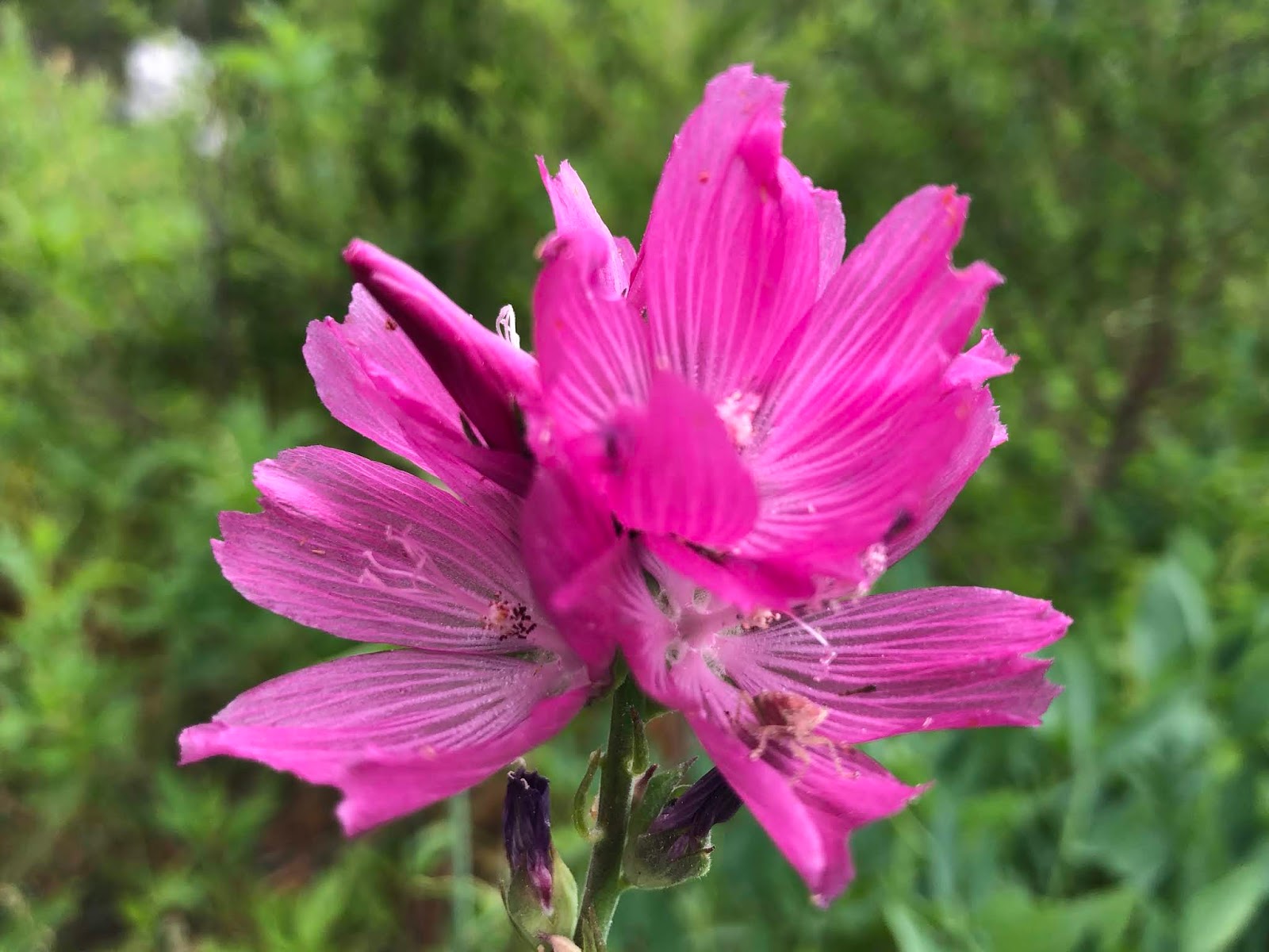
this pink one that I don’t know,

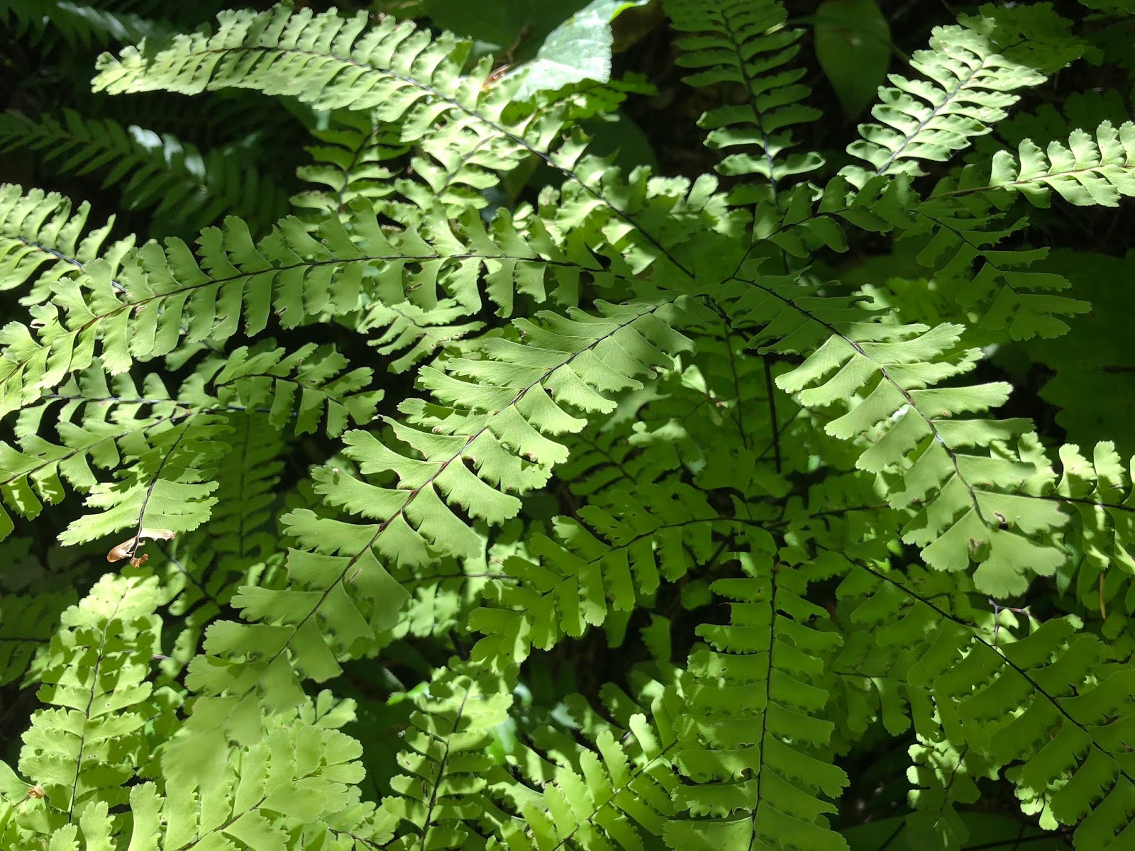
Maidenhair Fern,
this new one for me, California Harebell,
Paintbrush,

Leopard Lily,
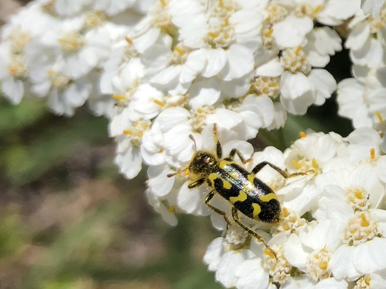
Yarrow,
Phlox,
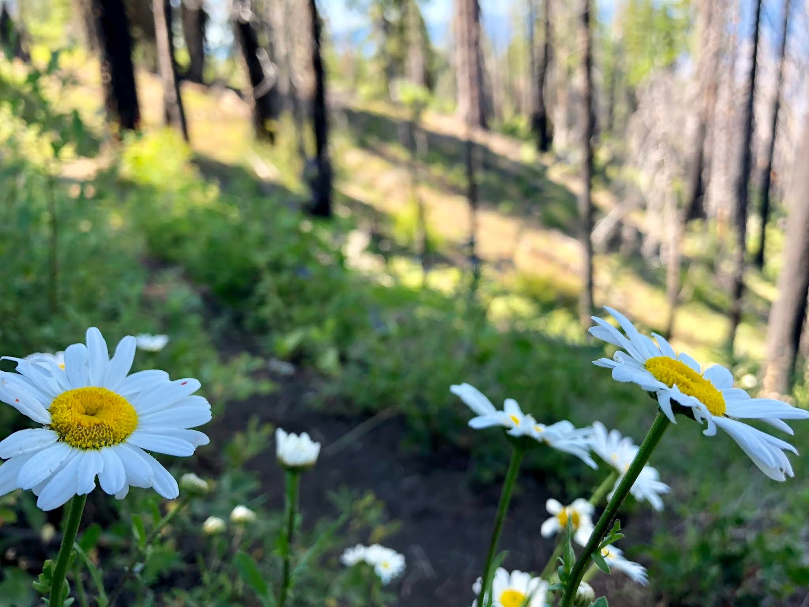
Daisy,
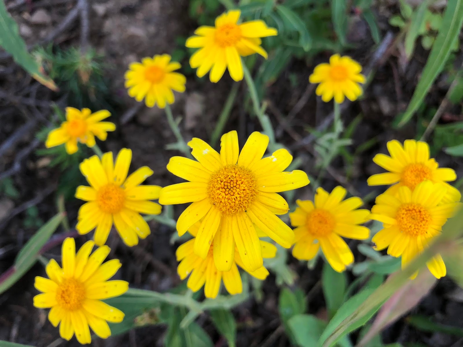
Oregon Sunshine,

Western Wallflower,

another new one for me, Scarlet Gilia,

Fleabane,

Columbine,

Wild Rose,

Columbia Windflower,

Arnica,
Buckwheat,

False Hellebore,

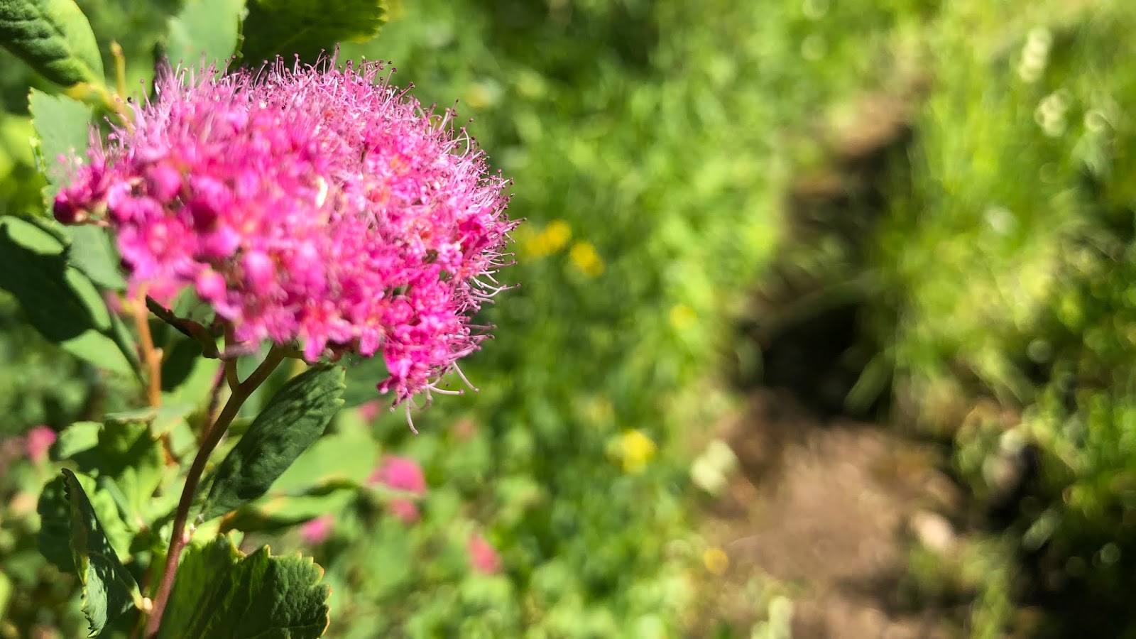
and finally...Spirea! Whew! I think this is the most variety of flowers I’ve ever seen in one day.
Our first hikers of the day were Oats from Germany, and Dr Pepper from England.

Then it was Clockwork from Germany and Big Grin from New Zealand. They were a very friendly couple and you can see how he got his trailname! Later on, I was so bummed that I failed to make a connection with this gal. I discovered later that she was the long-time hiking partner of my friend Wired. They hiked a large chunk of the Ta Araoa together last year which is the trail that goes end-to-end in New Zealand. I followed Wired’s detailed blog and I failed to put together who this was! Dang it. She didn’t have a trail name on the TA, so that’s a big reason why I failed to make the connection.
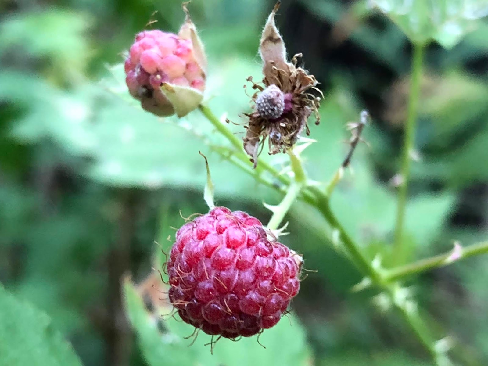
There were Black Cap Raspberries (thorns, which Thimbleberries don't have) everywhere through here and I made sure to make them my morning snack. They are so delicate to just let them melt in your mouth.
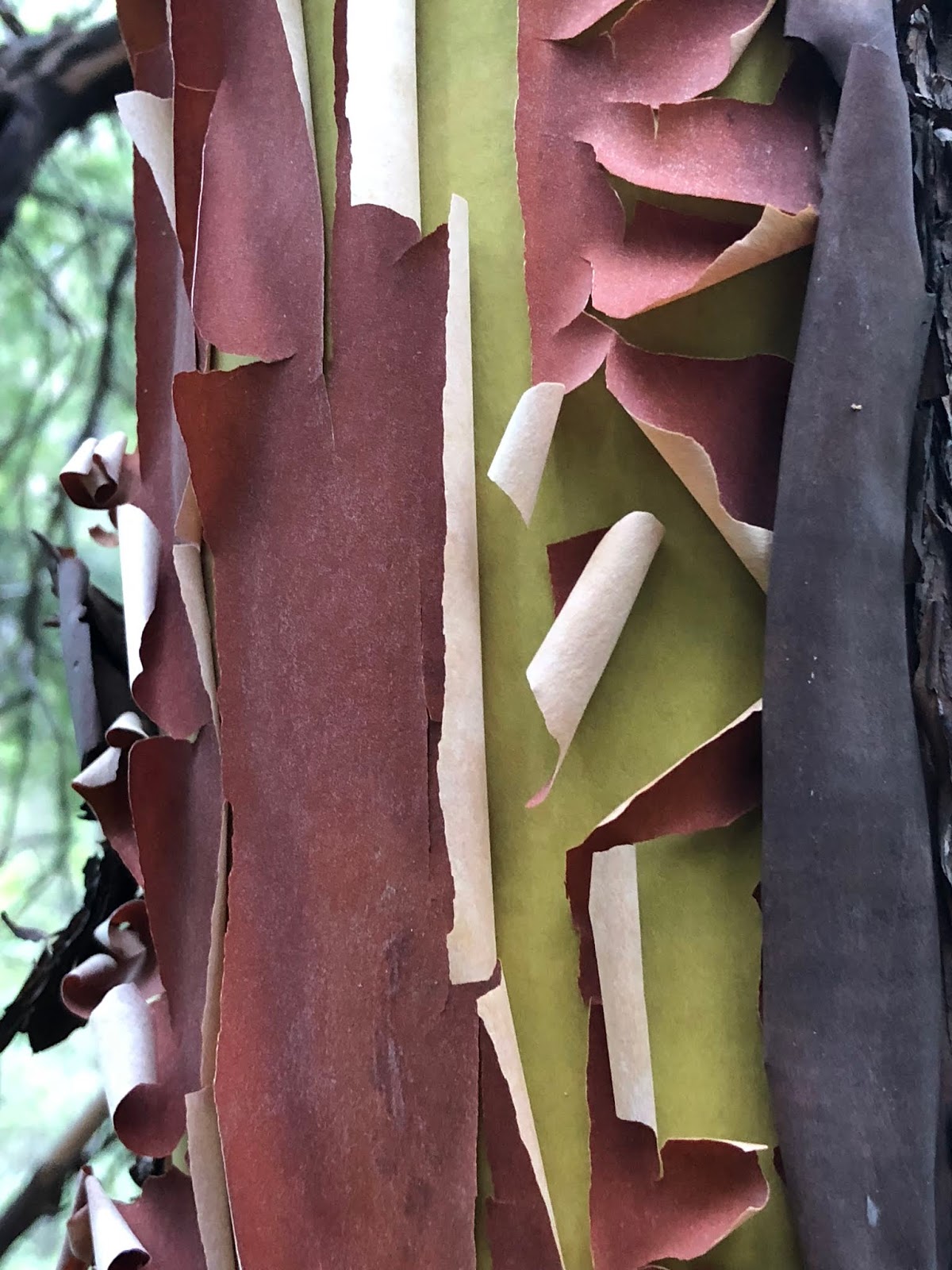
There was a lot of Madrona in this area too which was neat to see.
Next was the couple Team Blue from Seaside, Oregon.

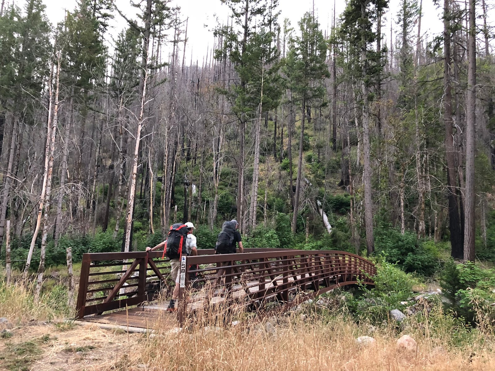
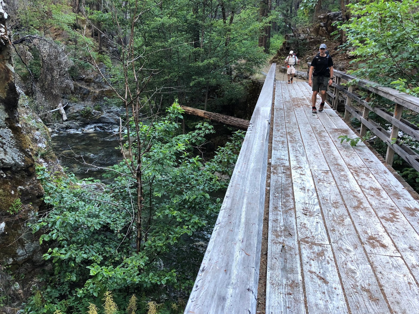
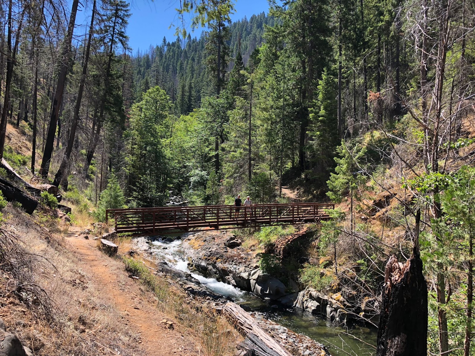
Throughout the morning we followed Grider Creek, crossing over several bridges. Two of them had been recently replaced as they had been burned out from a recent forest fire.
Next up was Shy Bear from Tri Cities and Perigree from St Louis.

Then we met Butane and Poseidon from Switzerland,
and Green Beaver and Gravity from New York.
Then I met Half Fast from Sonora. I’ve now cross paths with him three times on the trail! His blog is somanymountains.net and he said he’d mention me in there, so I’ll have to check that out.
Then we met one of my favorite names of the day in Redmond J. Beard (Red Beard for short). He was careful to mention that the J stood for James. Ha!

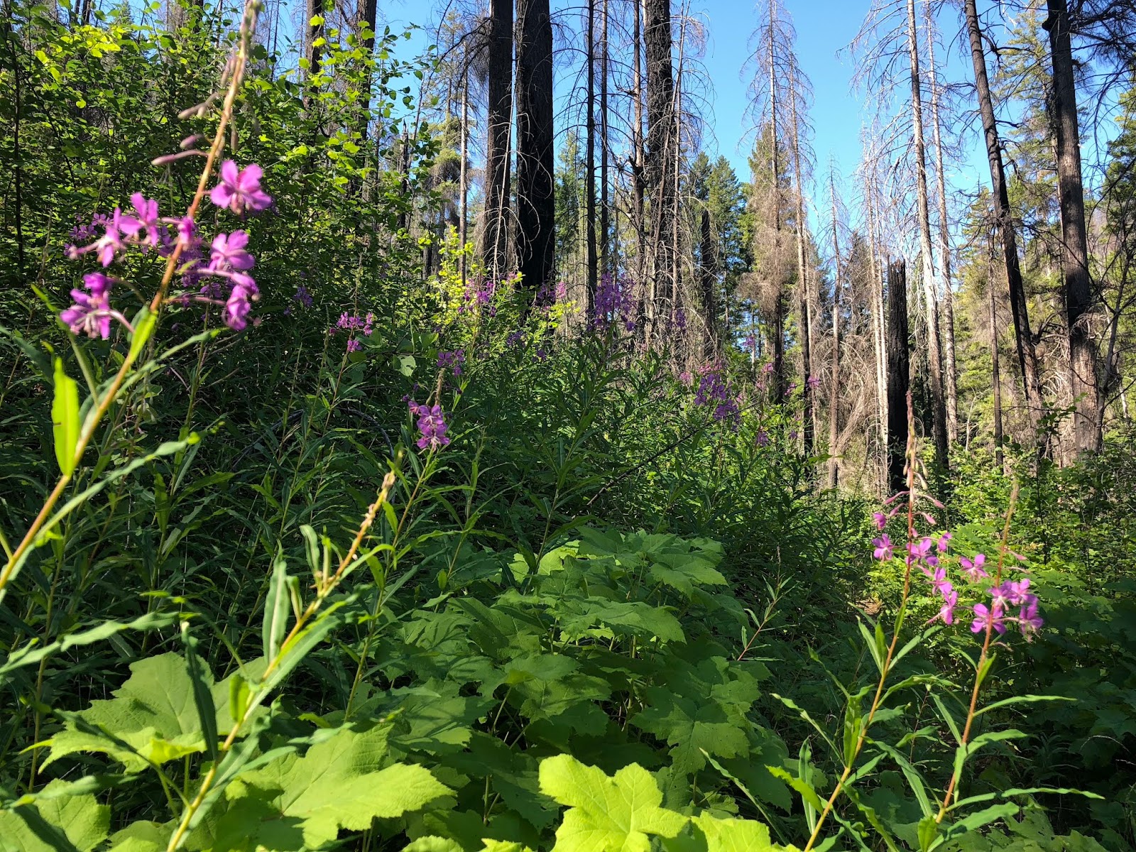
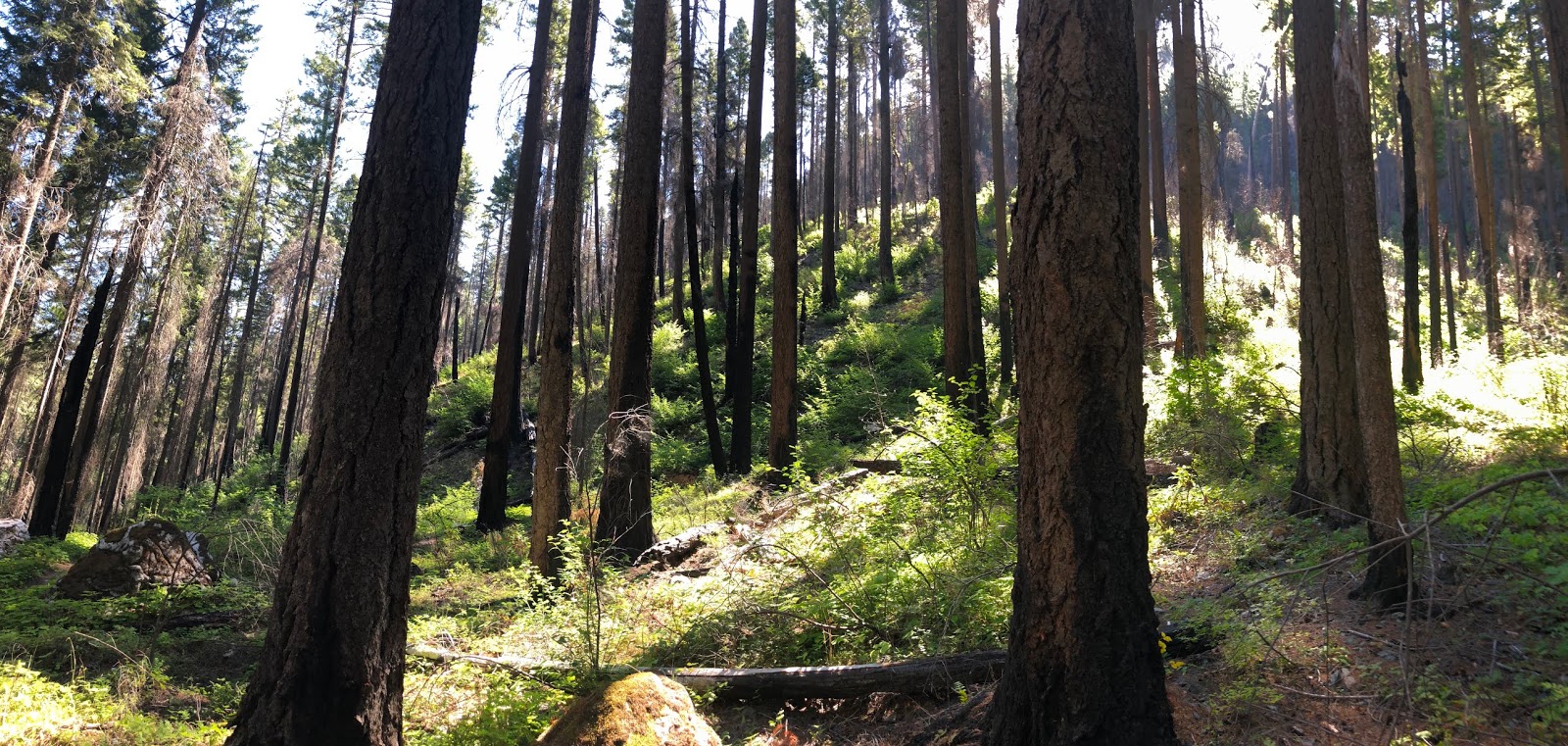
As we continued to climb. We started to get out of the solid green and into the trees. There were some burn areas today though.
As we looked up into these trees into the morning sun we could see a steady mist falling in the bright sun. We thought about it and concluded that it was a very fine falling of sap from the trees. We aren’t sure about that, but it was a very interesting sight.
Then we met Freebird from Linz, Austria. He his a professional photographer and posts his pictures at stefanpicart.at. I’m very interested in looking at his work. We had a wonderful and extensive conversation including a lot about his photography techniques. A very friendly guy.
As we crossed the final Grider Creek bridge, we determined that it was the perfect lunch spot.
There were a ton of Swallow-tail butterflies here. It was a beautiful sight.

Here is a slow-mo video using my high-speed camera shutter to capture them flying.
2018-07-12 Swallow Tail Butterflies from Michael Irving on Vimeo.
It was a perfect and crisp swimming hole for a swim and lunch. It was noticeably colder up here compared to down in camp last night.

These orange butterflies were all over Tooth Fairy’s shoes.

At lunch we met Chihuahua from Washington.
After our hour break and swim, we started the crux of the hike for the day, which was the steep climb, away from the creek. Along the way we met Scrub from Virginia.

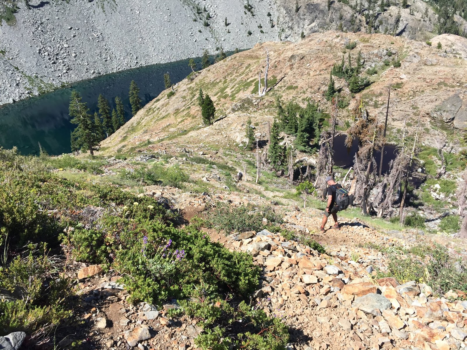
and climbed into more of a view area.
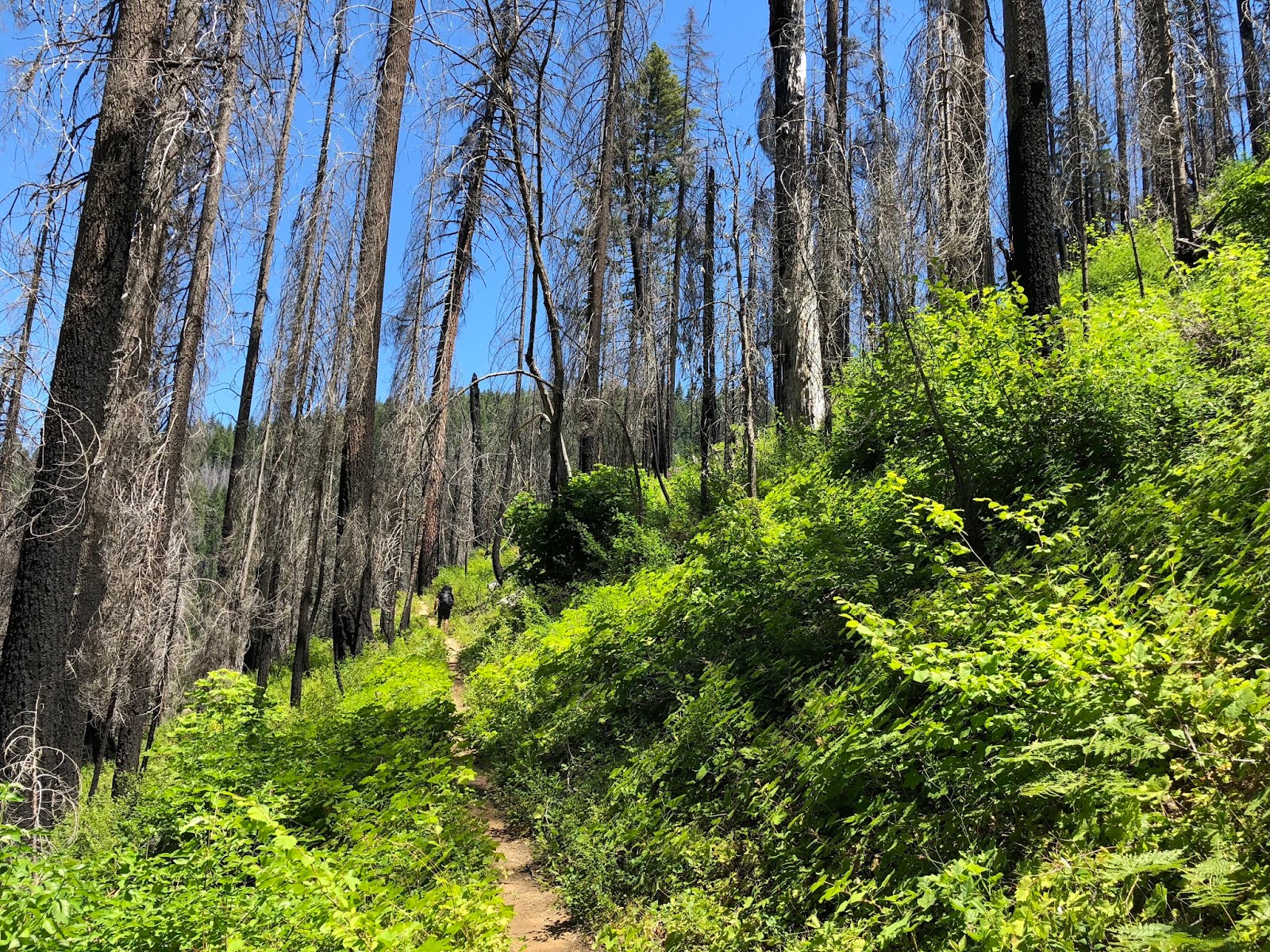
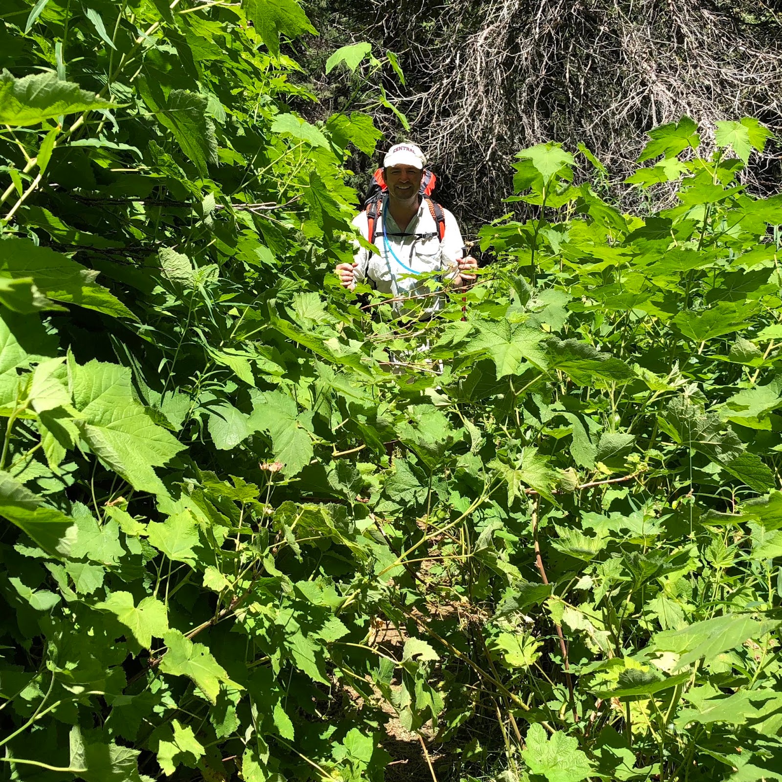
As you can see, the trail isn’t always perfectly maintained. A machete would have been helpful in this section.
More burn, punctuated with green.

We got to our camp, but it was an unappealing road with no view. We opted to keep on climbing.
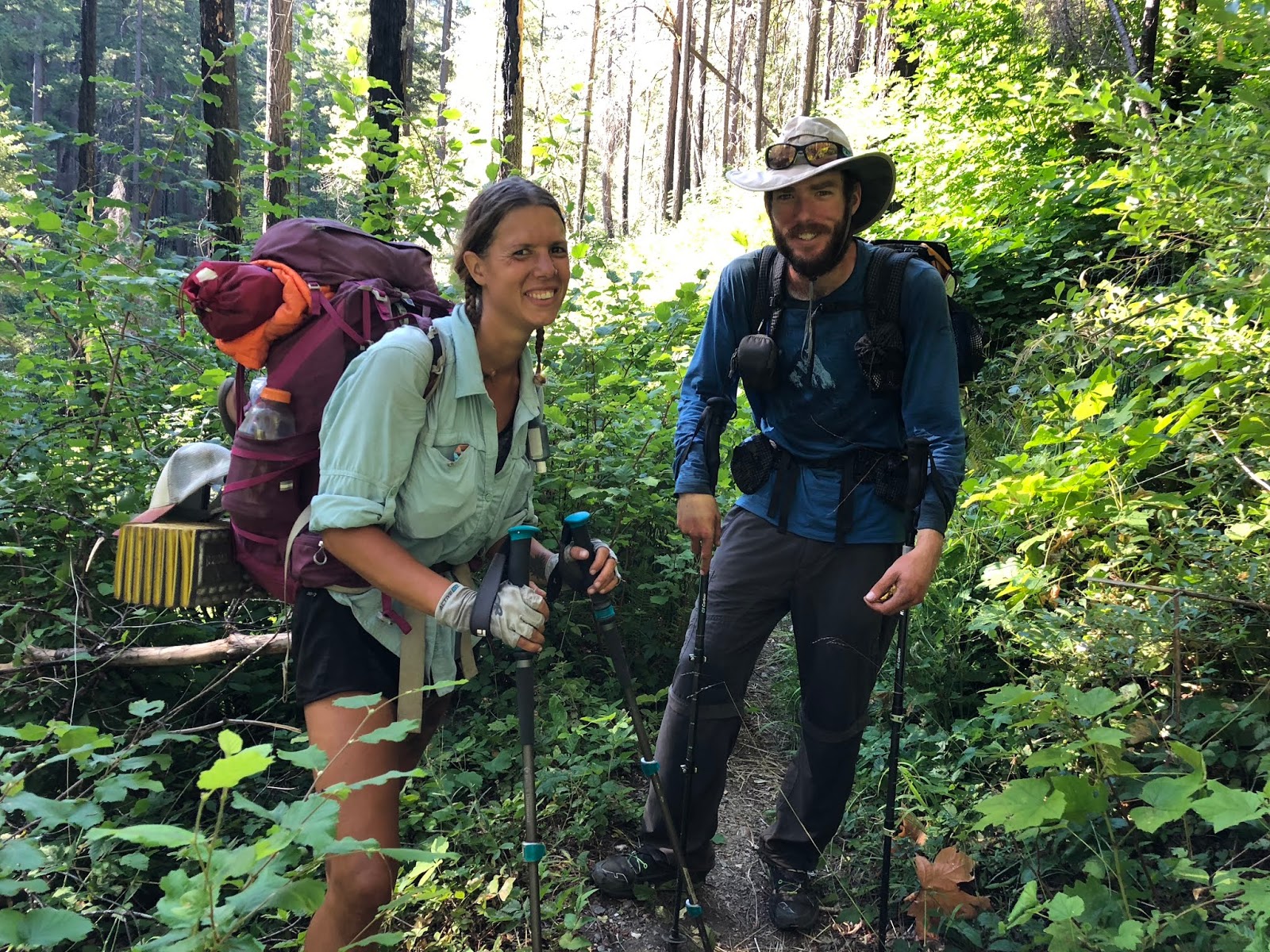
Then we met Orli and Jeanne from Berkeley. They were on their very first section hike and were quickly getting hooked. It was fun to get them even more excited about the trail.
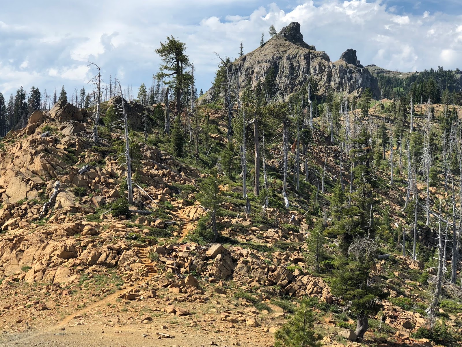
Finally, our climbing was paying off as we reached our first expansive views to the west.
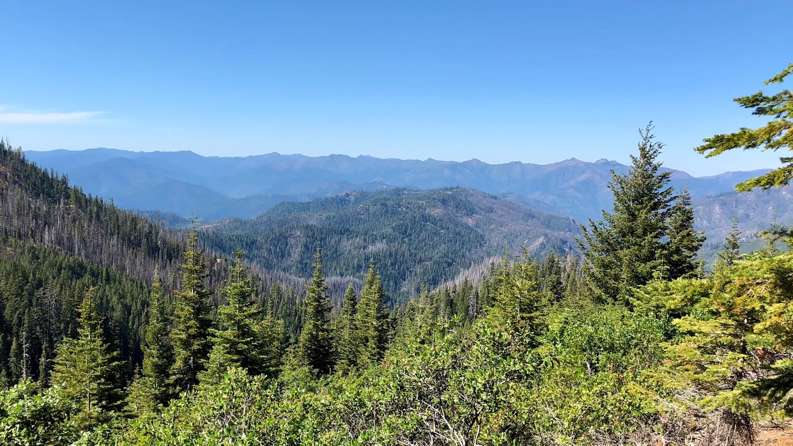
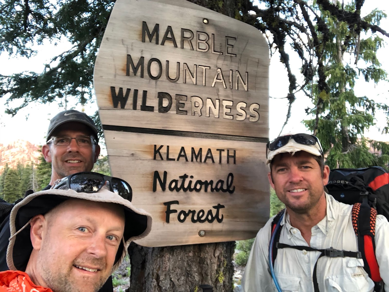
We entered the Marble Mountain Wilderness.

The butterflies were incredible today...they were everywhere. We finally reached the crest and got our first views to the south.

It wasn’t long until we finally reached camp at Buckhorn Spring.

We met two hikers taking a break there in Jukebox from Wenatchee,
and Pecorino from Philadelphia.
The butterflies were still out in force down by the spring.

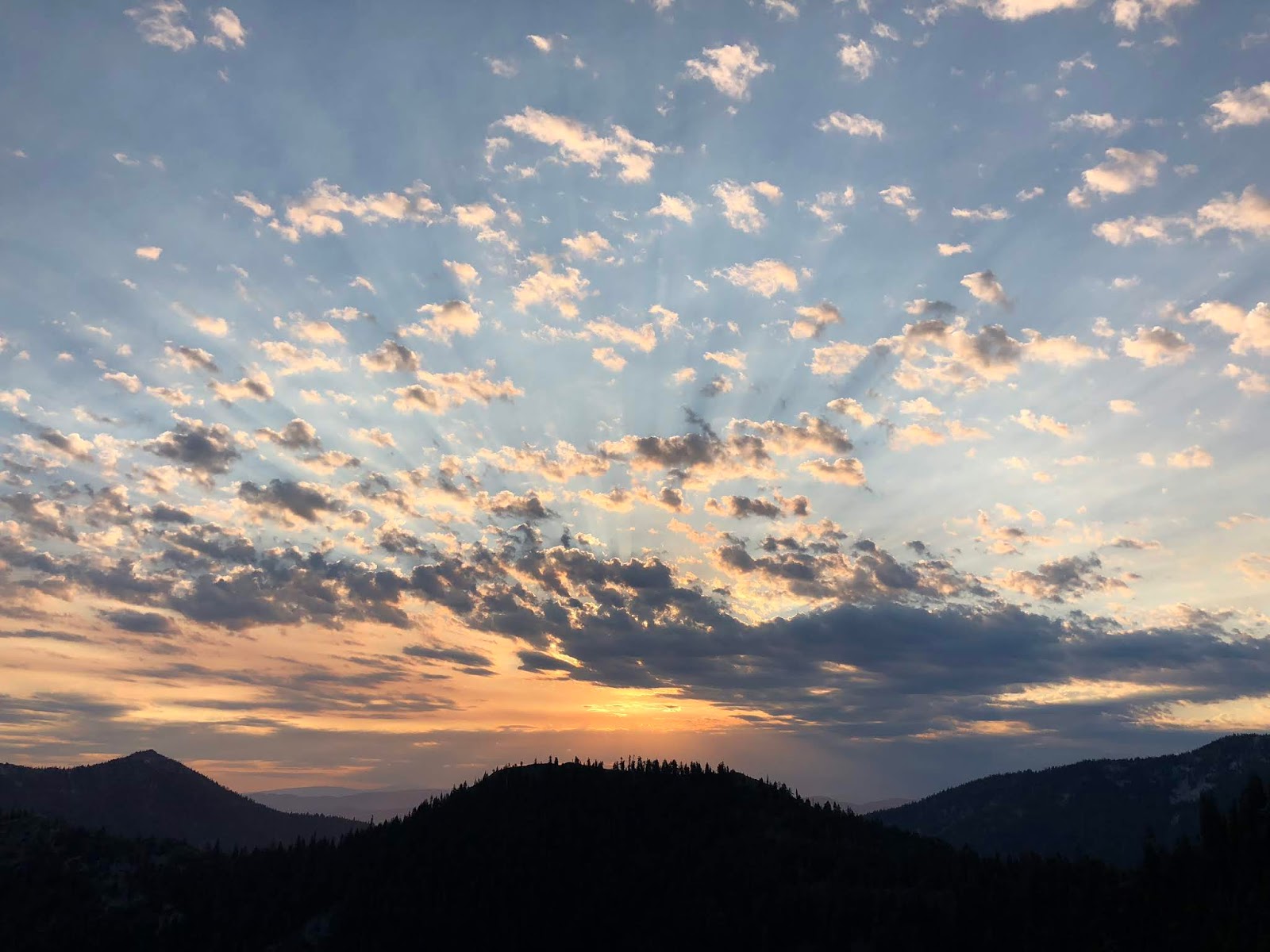
The sun was dropping in the sky on this hot day as we made our dinner and set up camp.

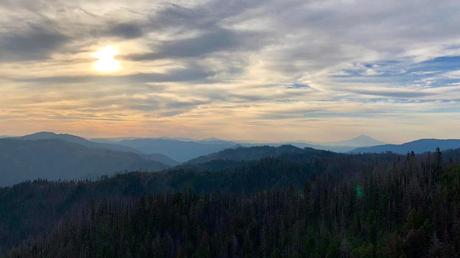
We enjoyed sunset from a high-up front-row seat.

Here is a video of the scene.
2018-07-12 PCT20 Sunset from Michael Irving on Vimeo.
The sunset was stunning.

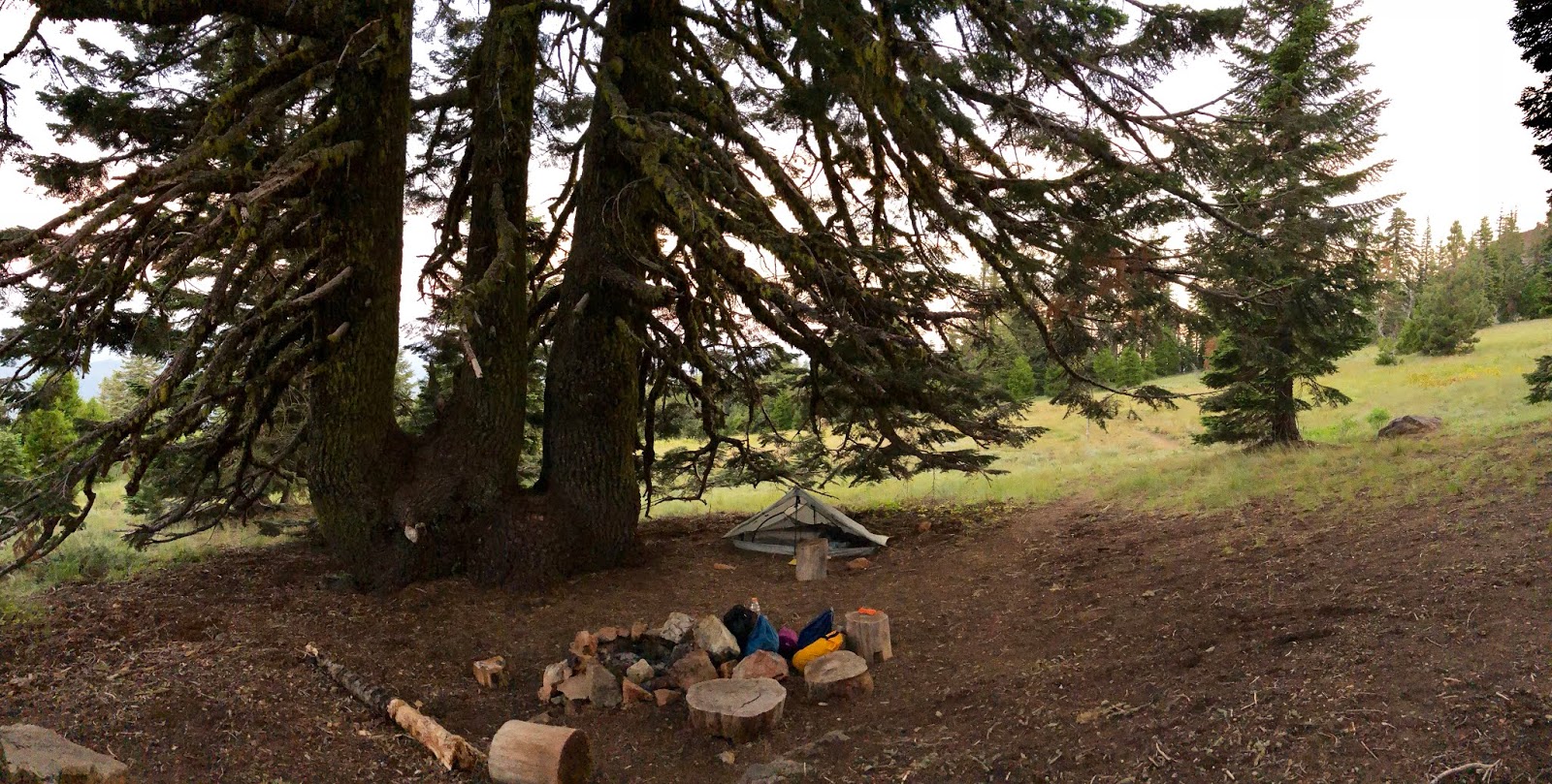
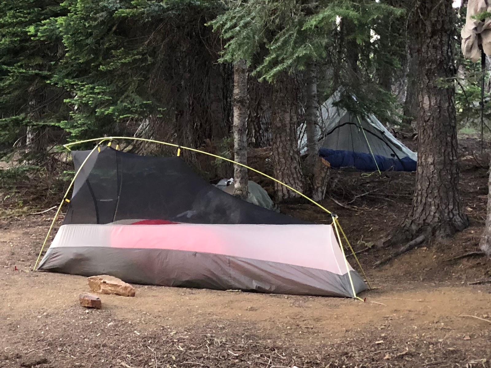
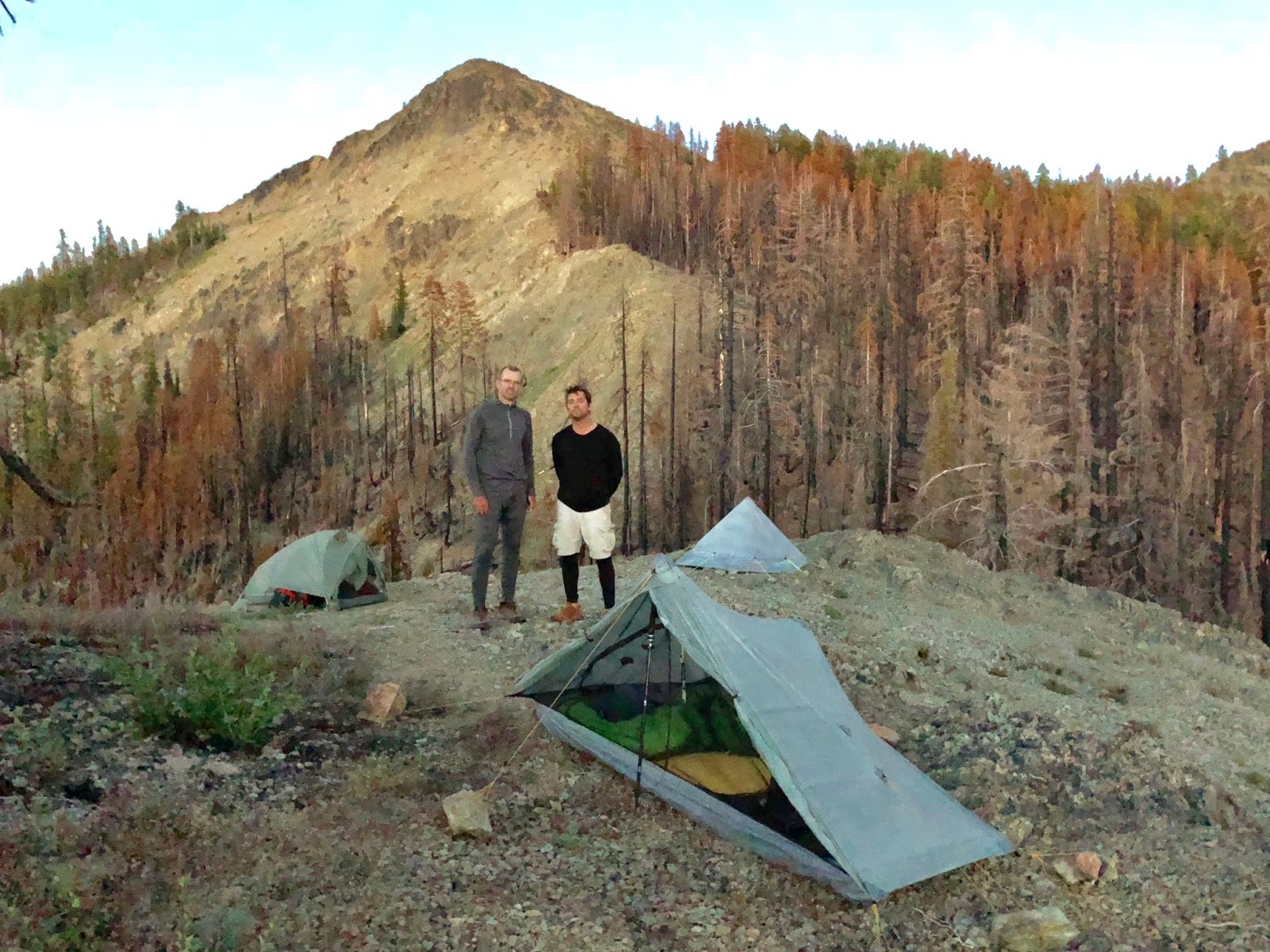
Here are our campsites for the night.
When Tooth Fairy went to hang his food, he got it stuck up in a branch. That was all that Mountain Goat needed to hear before he sprang into action to justify his trail name yet again. He climbed up high in the tree to free the snag.

We headed to bed to one of our more restless nights on the trail. There were a couple of habituated deer that would not leave us alone...looking for handouts and scrounging around camp. They made noises almost all night until about 4am when they finally left us alone.
Summary:
Perhaps the most ascent I’ve hiked in a day. Today was all about gaining the crest. Not terribly scenic, but Grider Creek was nice, and the butterflies were amazing.
Favorite experience of the day:
Swimming hole lunch with butterflies.
Least favorite experience of the day:
The deer that wouldn’t leave us alone in camp.
Today's route (top-to-bottom):

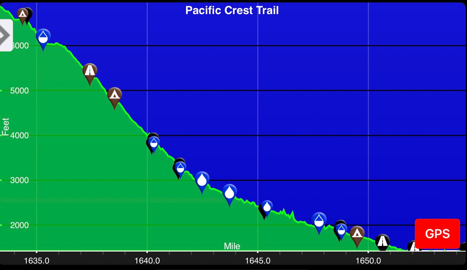
Today's elevation (right-to-left):
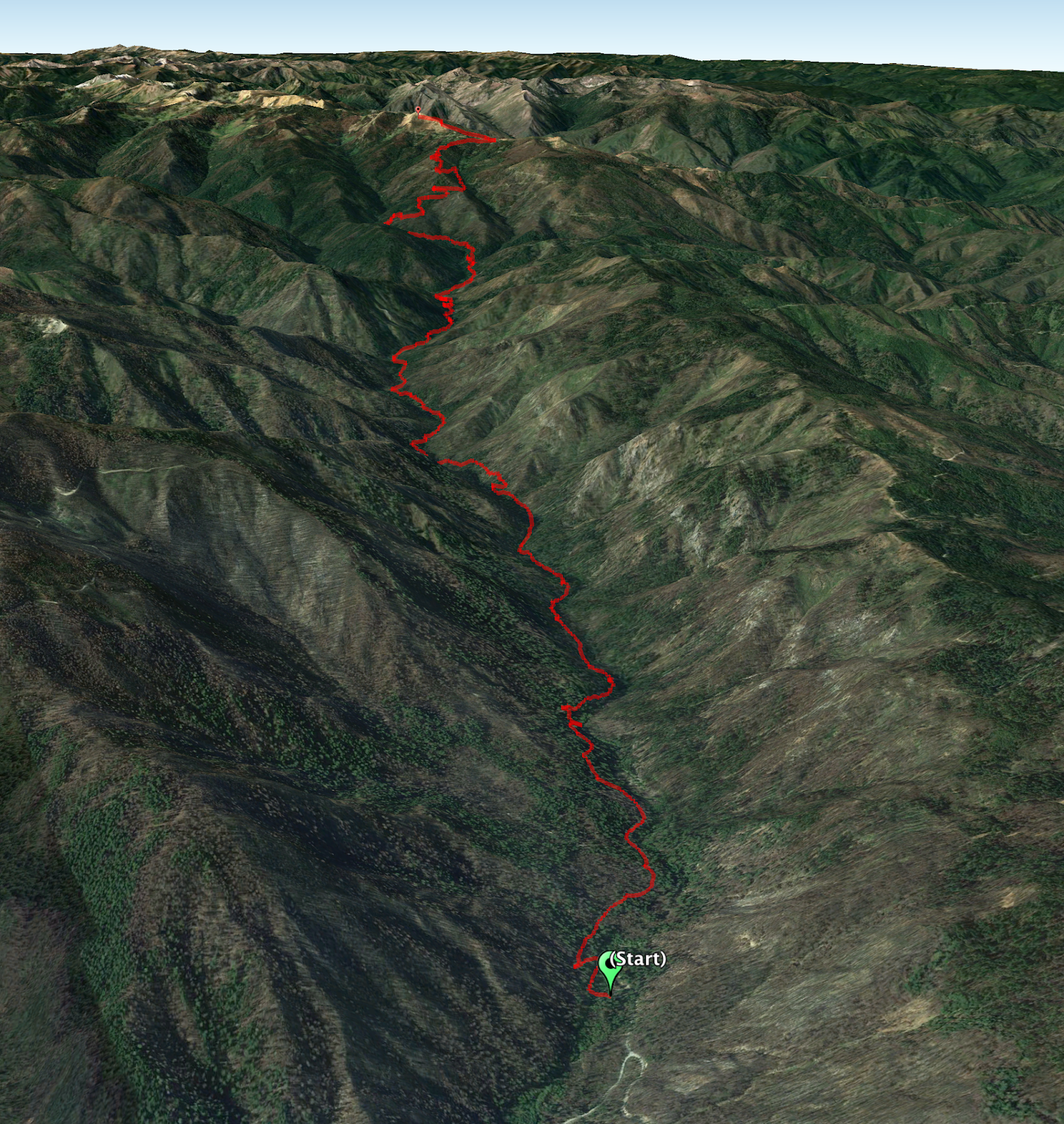
Google Earth with Track:
-GoalTech
www.GoalTechHikes.com
@goaltechhikes (Instagram)
PCT20 - Day 3 - Buckhorn Spring to Shadow Lake
“Gobsmacked”
7/13/18
Rating: 5 Stars
Miles: 16.8
PCT Miles: 13.8
PCT Miles: 1632-1618
Time: 11 hrs, 35 min
Avg MPH: 1.5
Elev Min: 5,700’
Elev Max: 7,000’
Total Ascent: 2,700’
Total Descent: 2,850’
Elev Change: -65’
Steps: 43,900
Flights of Stairs: 219
Time Up: 5:15
Sleep Hours: 4
Leave Camp: 8:00
Temp Low: 60
Temp High: 82
Thru-hikers: 21/52
Other hikers: 5/5
Male:Female hikers: 71%/29%
Hikers with a trail name: 81%
Longest time without seeing a hiker: 2:20
Wildlife: Ptarmigan, Hawk, Dragonfly, Frog, Hummingbird, Lizard, Salamander
Chips: 15/34
Via: 1/5
Nips: 4/10
Declines: 1/2
Verizon Cell Service: LTE on top of Buckhorn Mtn
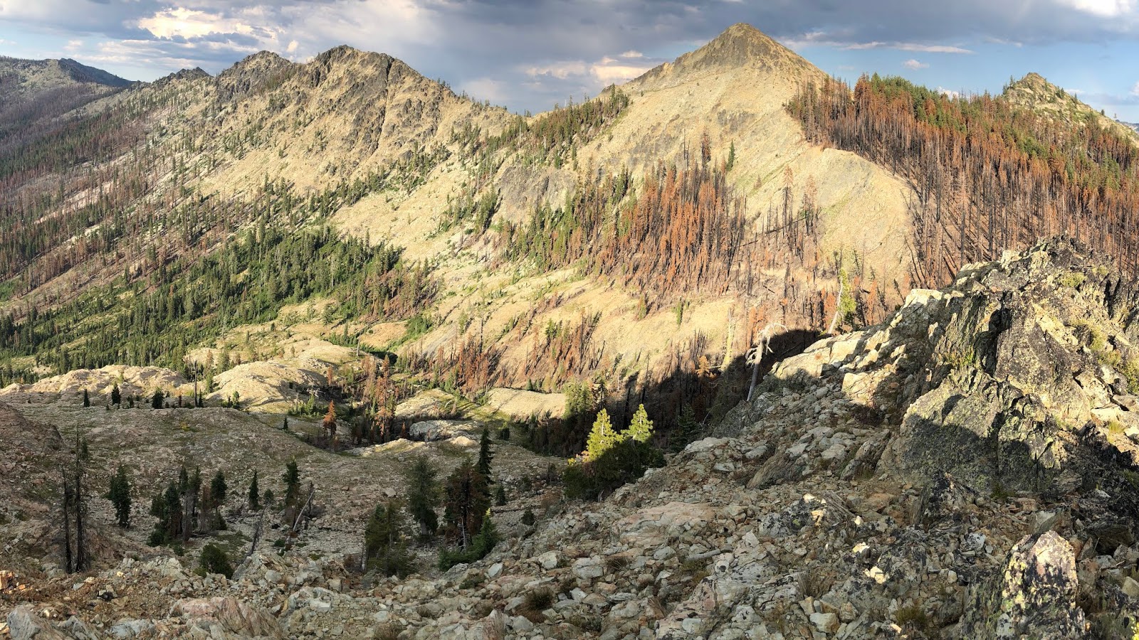
Buckhorn Summit * Mt Shasta view * Caves * King’s Castle * Black Marble Mountain * Paradise Lake * Marble Mountain Valley/Guard Station * Marble Mountain Rim/Summit * 1200 PCT Miles * Shadow Lake
Opening Shot: Marble Mountain Rim

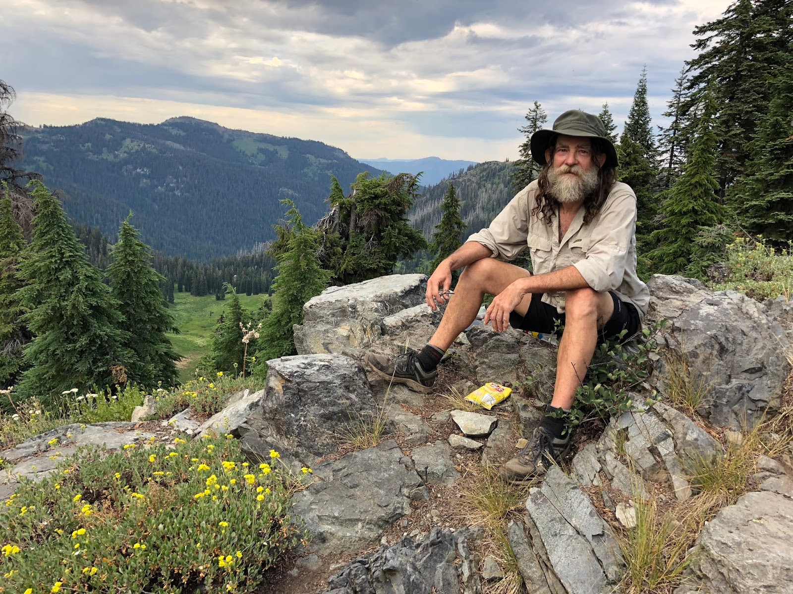
After a weary night of listening to deer, I was still up early. Today was to be a shorter day, so there was no rush to get going. I decided to bag 6,900’ Buckhorn Mountain, which was right next to our camp.

Here is a video clip of sunrise.
2018-07-13 Morning at Camp from Michael Irving on Vimeo.
I kicked Tooth Fairy’s tent on the way out to get him up for the day.

It only took about 15 minutes to get to the summit, which was just over 300 vertical feet.

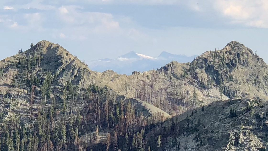
I got my first views of Mt Shasta to the southeast.
This is looking south toward Marble Mountain which we will be going to today.

We camped in the center of this frame in that grove of trees.

The sunrise was looking good.
Here is a 360 video from the summit.
2018-07-13 Buckhorn Summit from Michael Irving on Vimeo.
Here is my short warmup hike for the day.

The new flowers for today are this Western Blue Flax,

this new one for me, which I'm not sure what it is,

Monkeyflower,

Oregon Checkerbloom,
Sitka Valerian,

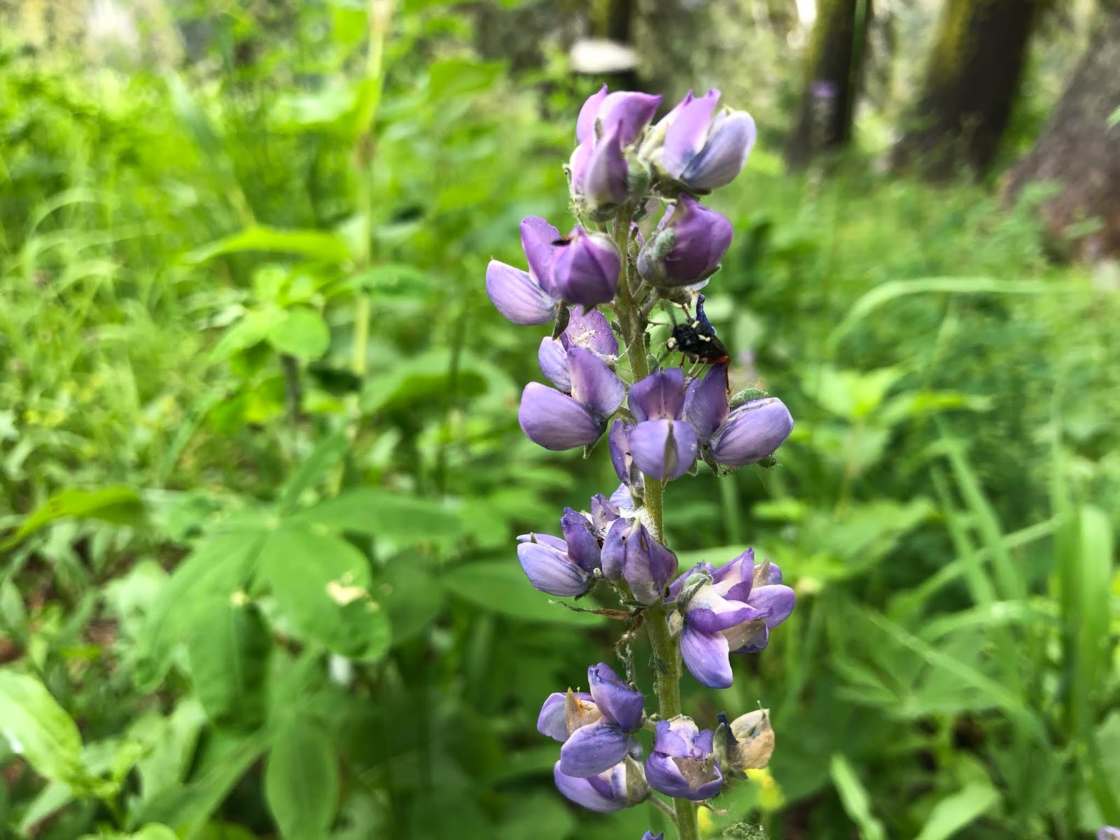
Lupine,
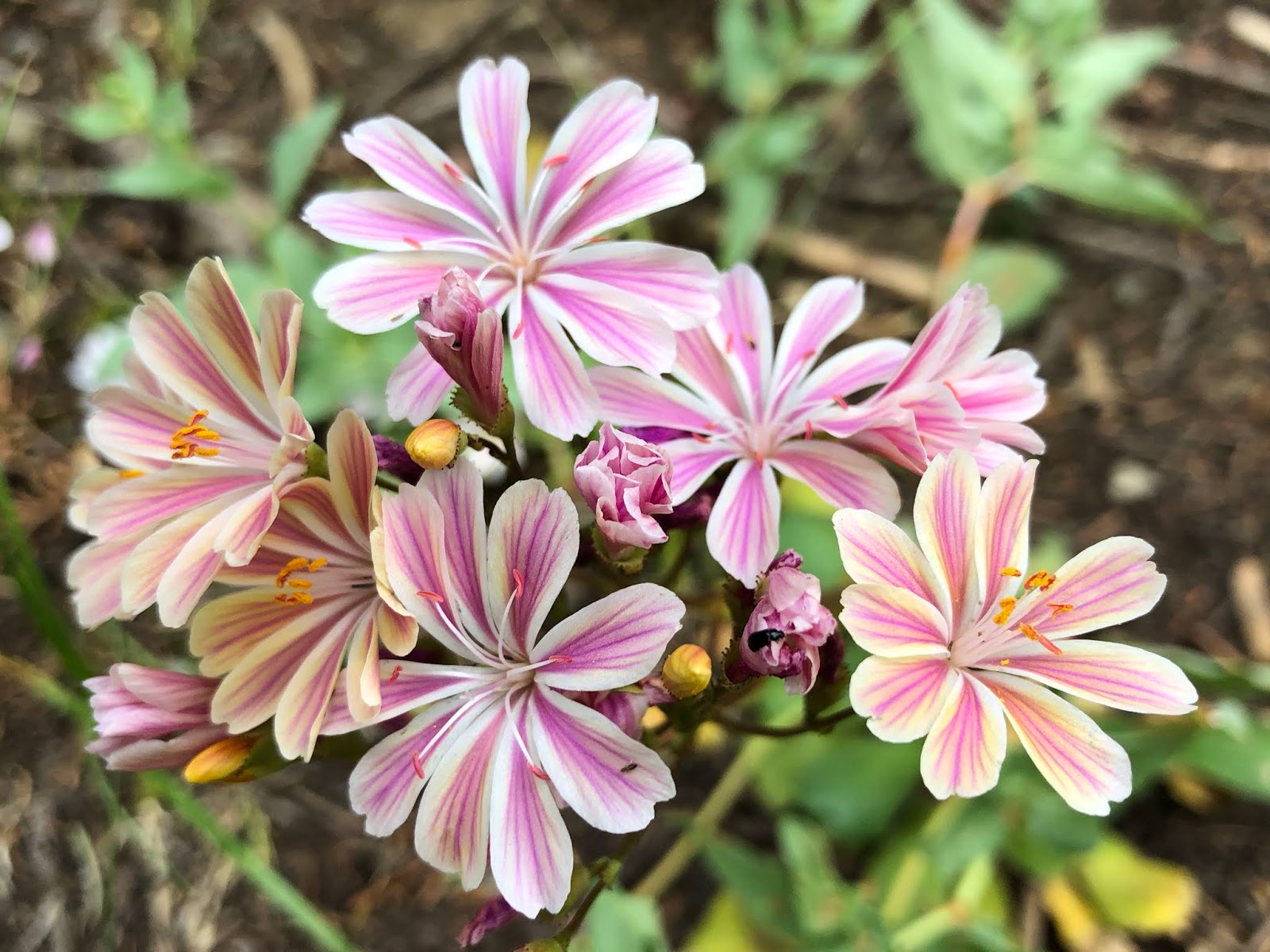
and my favorite of the day, this candy cane-looking Siskiyou Lewisia which was a new one for me.
Also we had Queen’s Cup,

along with an interesting sighting of Cow-parsnip.

Our first hiker if the day was Cruise from Redding,

and Frick from North Carolina.
Then we met Pole Pole and Rage Against the Machine from Seattle. It turned out that Pole Pole lives one dock down from Mountain Goat’s floating home. They exchanged contact info to have a hiker reunion when they are both off-trail...small world!

Then we met Mr Sippy from Truckee...see his innovative drinking straw?

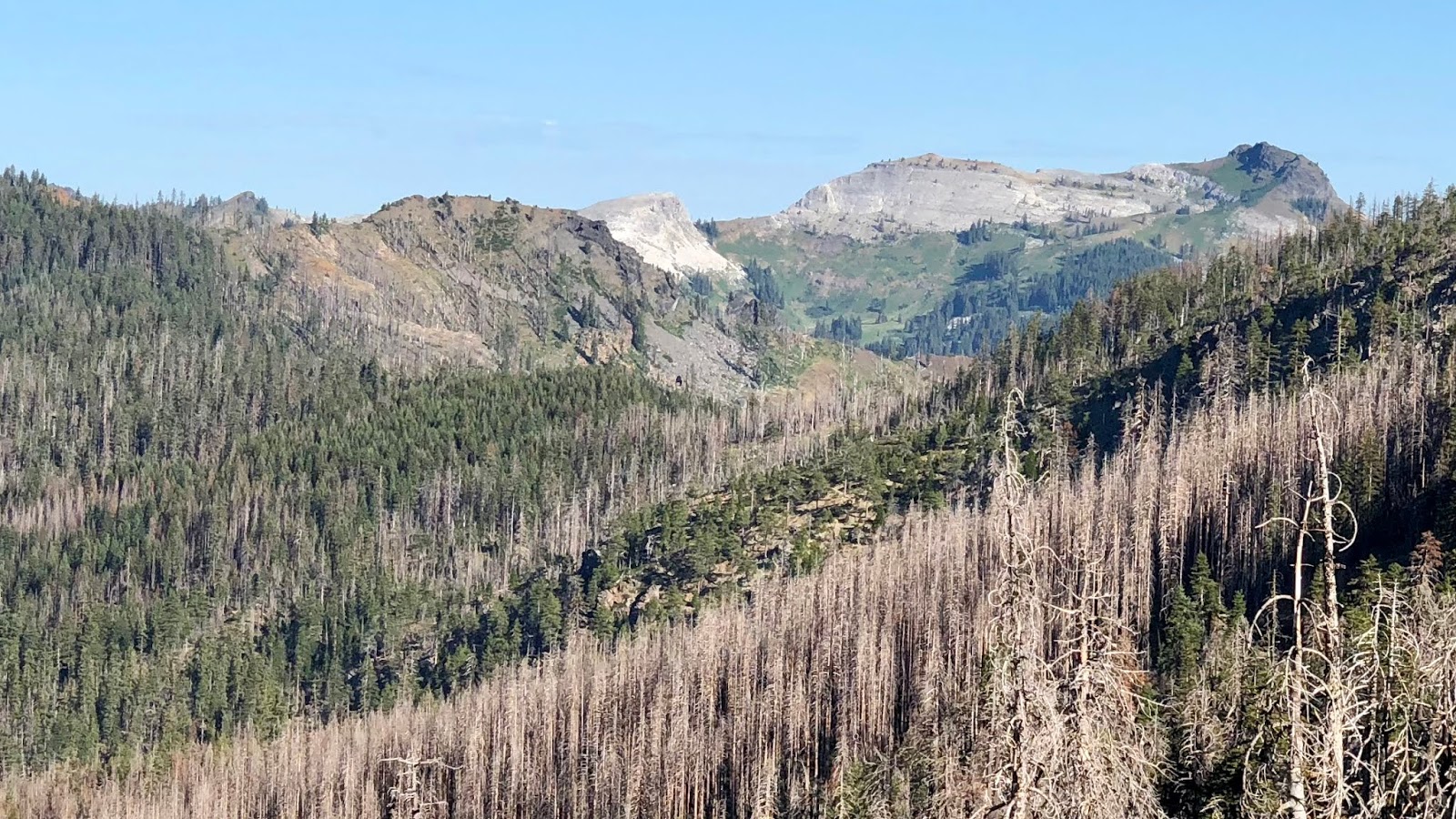
We hiked along a crest and got our first big views of the Marble Mountain area we were approaching.

I saw my first Apollo butterfly.

We dropped down into a saddle and hiked up some mighty fine trail tread...check out the trail detail in the picture.
We got our first views of Kings Castle,

and met Double Snacks from Berkeley at our water stop.
We rounded Kings Castle as you can see it behind us here.

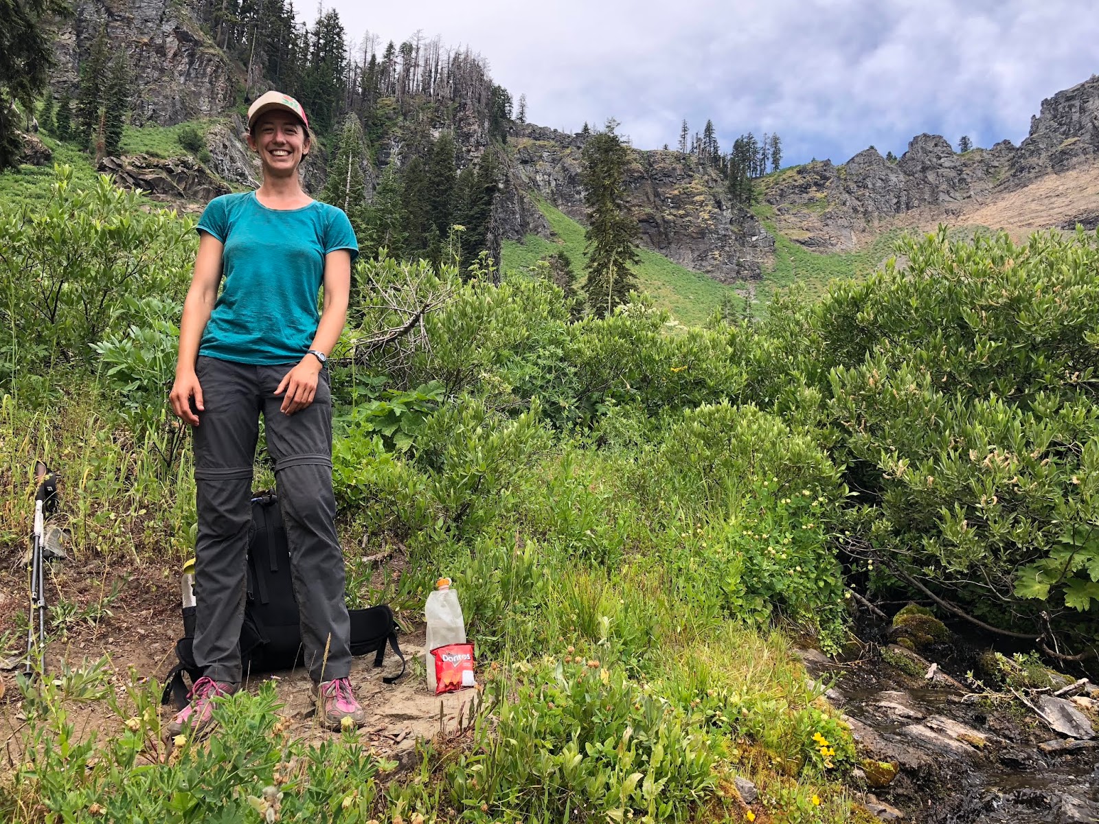
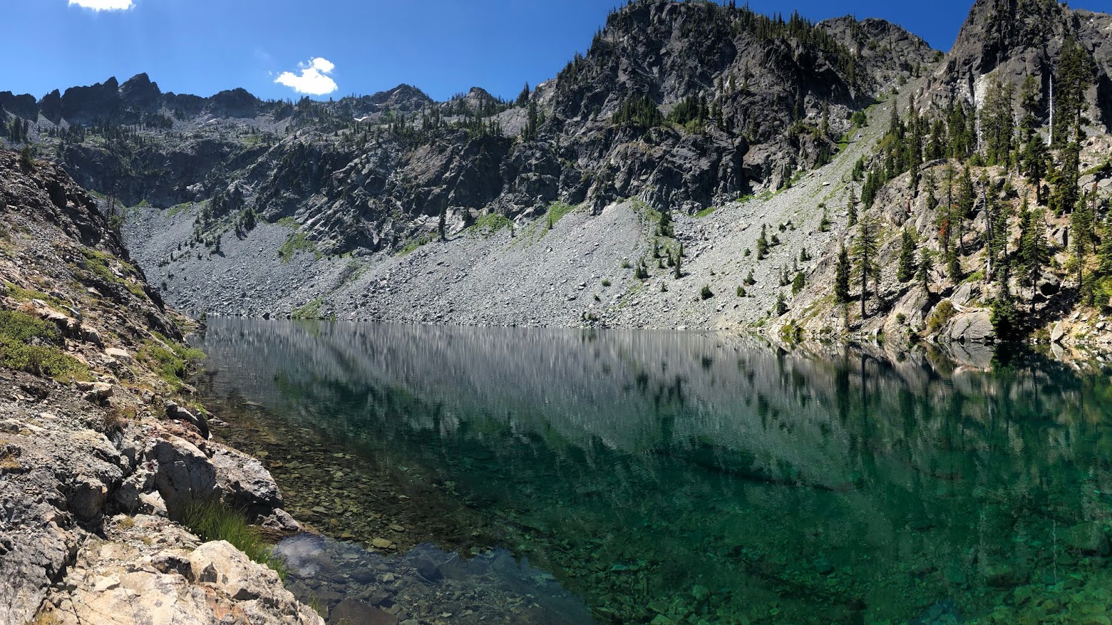
We took a break at Paradise Lake which was very pretty, but unfortunately, not a good swimming lake.

We met Olga from San Francisco here. I found out later that she and her brother, originally from Russia, are world champion club jugglers. She and her brother can juggle 12 clubs at one time and can pass clubs back and forth back-to-back. I found a quote from the famous Penn Jillette from Penn & Teller fame in Las Vegas who said, "If you're talking about club passing, the two of them together are the best in the world. Not just the best in the world. The best there has ever been."
Check out her profile video:
And her championship video with her brother:
These videos really are incredible...you must check them out!
Then it was Frodo from Germany,
and Shoes from British Columbia, who is on his 8th pair of shoes so far.

The views today were fantastic.

Next were Unchained, from Durango, and Mr Jimmy, from Truckee.

Ducky, from Utah, was next, just as a rain shower started, with the sweet smell of petrichor.

We looked across the valley, which is where we will be camping tonight, on Shadow Lake.

A Ptarmigan was in the area.

The rain shower stopped, as the temps dropped to a reasonable feeling, and we approached Marble Mountain.

You can see where it gets its name.
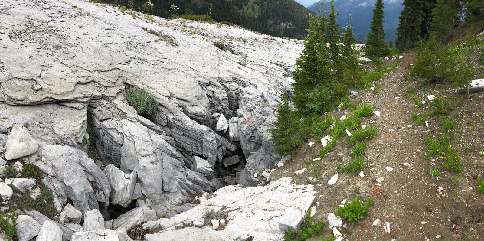
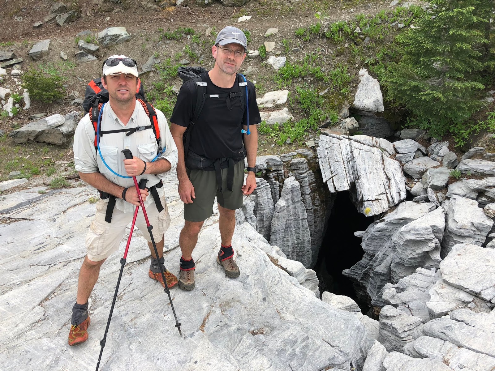
There were some caves along the way, but we figured we shouldn’t leave our bikes at the entrance and go explore on this rainy day if you know what I mean.
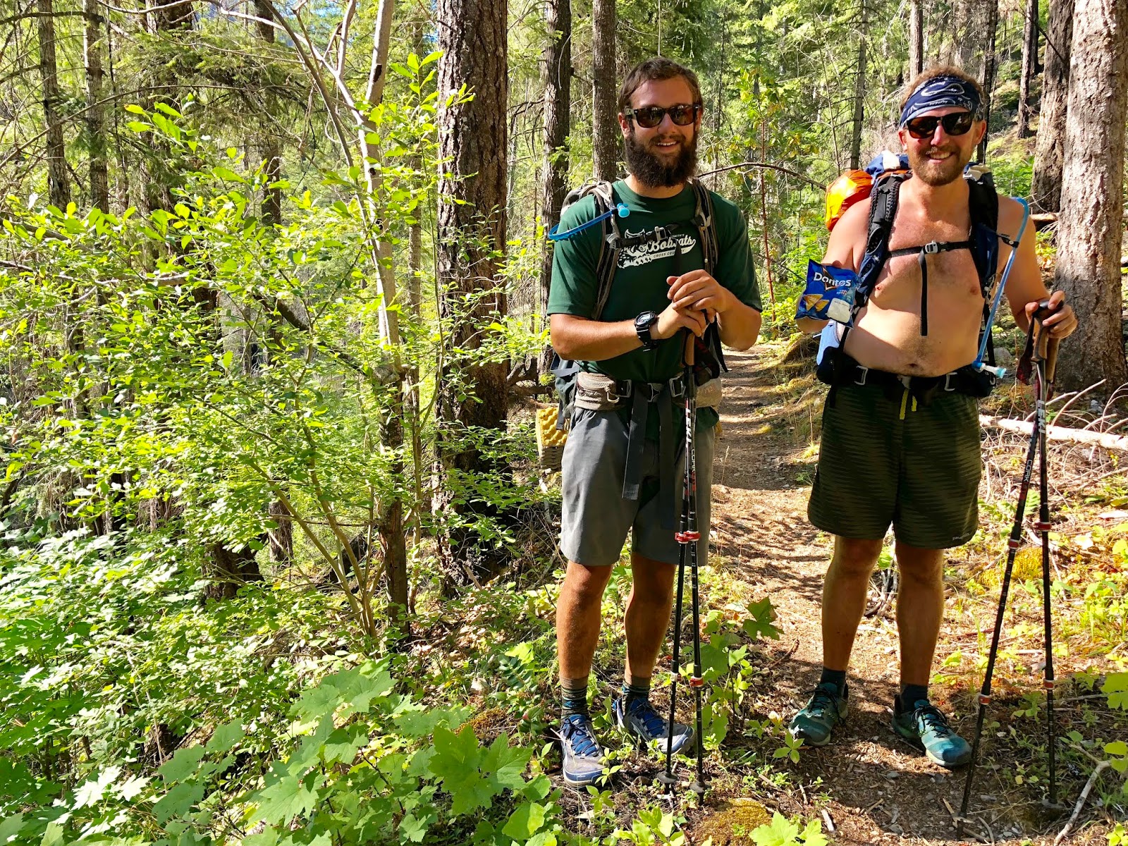
Then we met a fun bunch in Mike from Dallas, Sinatra from Denmark, Camo from Idaho, and Squeaks from Tahoe.

We dropped down into the Marble Mountain Valley and saw the old guard station. This was our original goal for the day, but we were making good time and there was a lake ahead that promises a good view. This would also set us up to do a long day tomorrow so that we could have a short last day to get in to see the World Cup final on time.

At our water stop we met Up-down from Denmark.

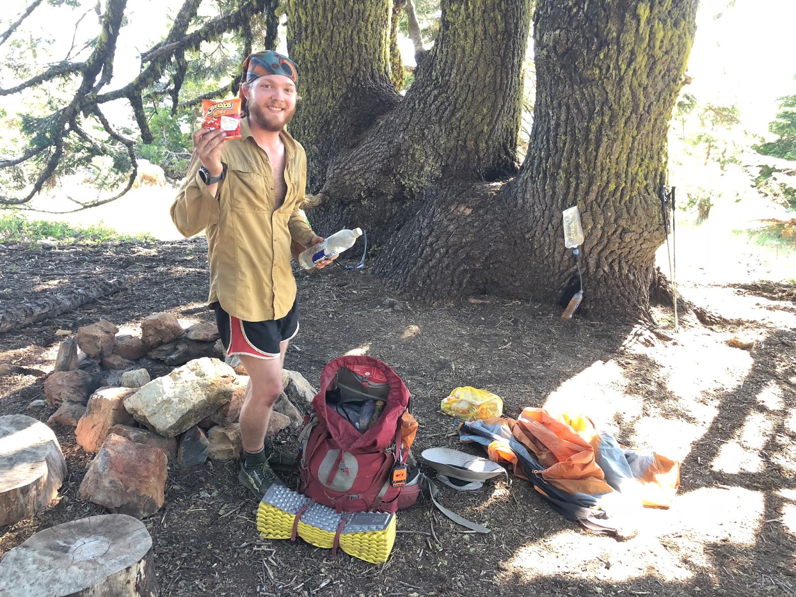
We also met some scouts who would end up being the only non PCT backpackers we met on the entire hike. Here is me with my trail magic bag.
Leaving water usually means a climb, and we were not disappointed, as we climbed steeply out of the valley. We got to a spur trail to the nearby summit of Marble Mountain and decided to take it. It was only supposed to be 3/4-mile to the summit, but you know how that goes. We kind of missed the summit trail as it was a social trail and not formal. We decided to aim for the crest line on the back side and I’m glad we did. I was in the lead and was approaching the crest, when all of a sudden, the trail approached a cliff that dropped down 1,800’ feet into a valley. I don’t think I’ve ever been so gobsmacked on a hike unexpectedly in my life...it was amazing! We were very glad for this diversion!

This is looking up the crest line towards Marble Mountain.

And one more for good measure.

And a video clip.
2018-07-13 Marble Rim from Michael Irving on Vimeo.
We made it to the 6,881’ summit. It took us an hour and 1.6 miles to get there. This also was where I commemorated my 1,200th mile completed on the PCT.

We went back the more direct way on the front crest line and got back to the PCT in 25 minutes and 0.9 miles. Here is a video from the summit.
2018-07-13 Marble Summit from Michael Irving on Vimeo.
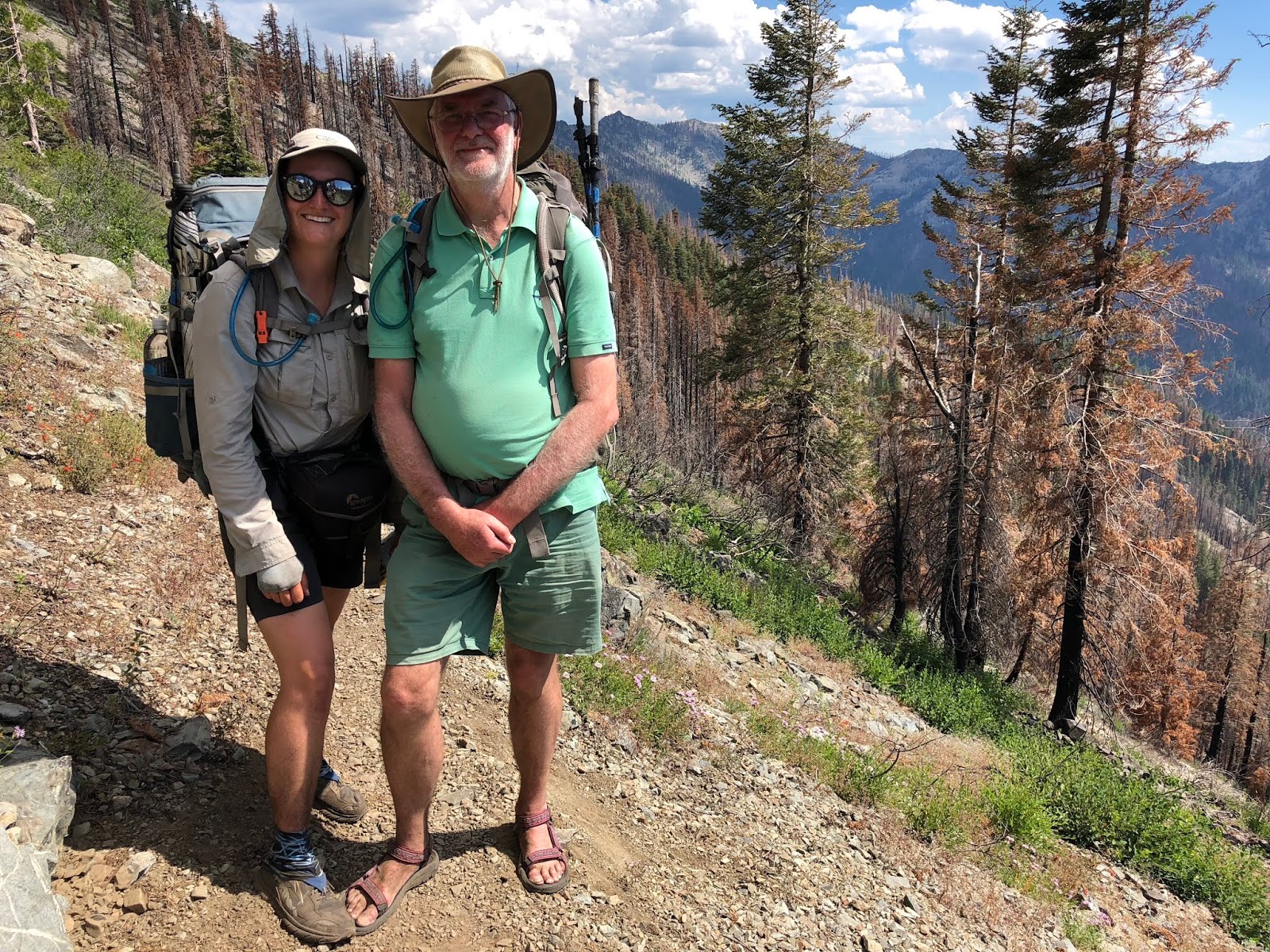
We met Red Cross from the UK. I greeted him by asking him if he had gone the wrong way as I thought he was Up-down, who we met earlier in the valley. It turned out that he was just his doppelgänger. Red Cross joked by asking if the other guy was also a skinny, young, white guy with a beard. Good point! Here is the comparison. You gotta admit...there is a decent comparison.
Right at the junction to our off-trail lake camp we met a fellow sobo section hiker, Erik, from O’Brien, Oregon.
Also walking up, was Sunshine, from Sweden. You can see his name with the big smile on his face.

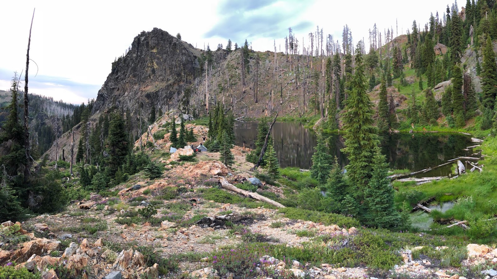
We broke off the PCT for a half-mile side trail to Shadow Lake. I had heard it was a stunning camp and we were not disappointed. As it came into view, I had a big smile on my face. It was like an infinity pool perched on top of a cliff, with a front row seat of Marble Mountain.

Of course a swim was in order.
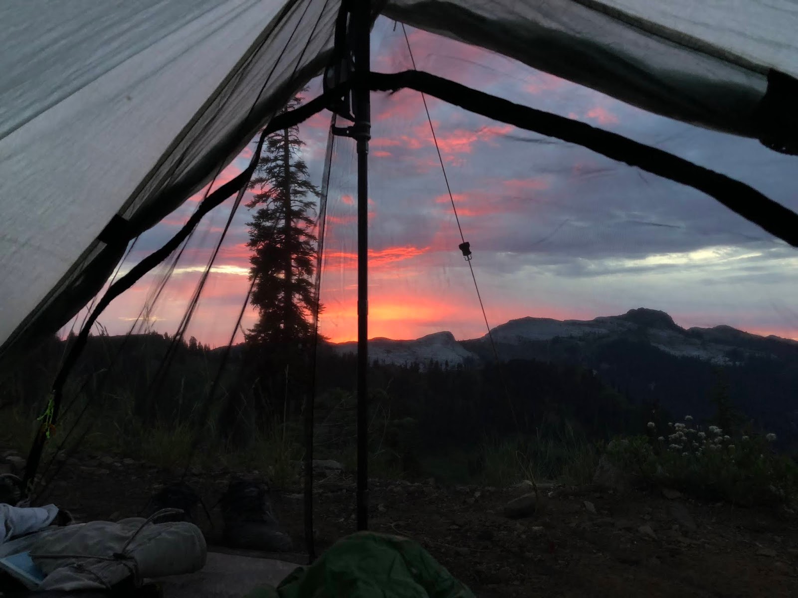
I set up my tent and made sure it faced the right way for the sunset show to come later.

This is looking down on our camp, which is on the slice of land separating the lake from the cliff edge.
There appeared to be some virga in the distance from where we came.

As we ate dinner,
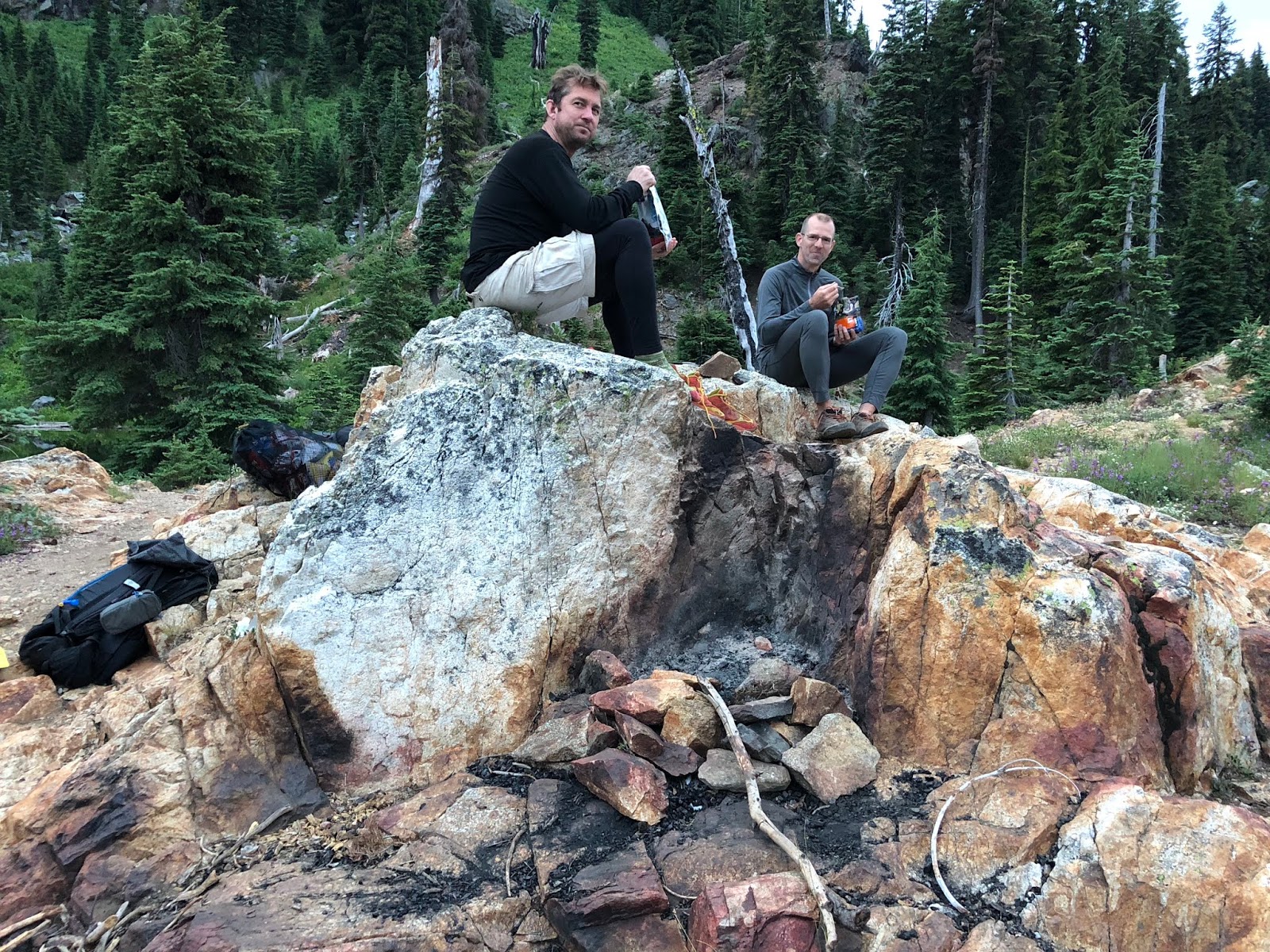
the show was about to begin.

Here is a series of pictures from the sunset...it was something else!

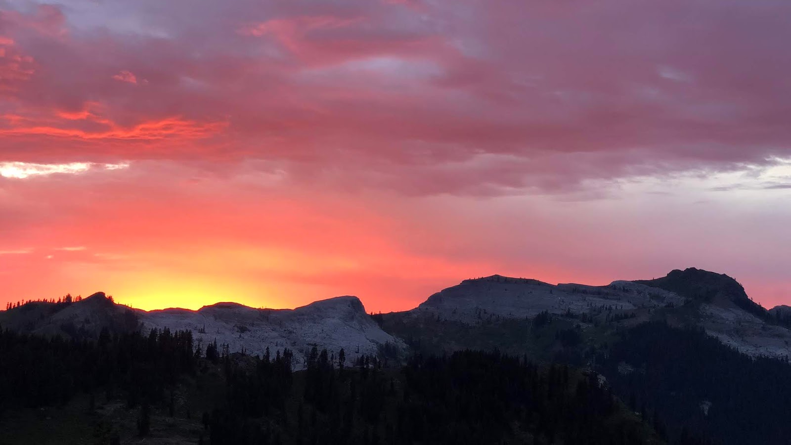


Good night from Shadow Lake.
Summary:
A stunning day with beautiful sites. The high point of the hike. I have never been so gobsmacked when I stumbled upon Marble Rim, and Shadow Lake may be my favorite campsite ever.
Favorite experience of the day:
Stumbling upon the Marble Rim which I had no idea was there. Absolutely incredible.
Least favorite experience of the day:
Dreaming about my lunch swim in Paradise Lake only to realized it was more like a muddy pond.
Today's route (top-to-bottom):

Today's elevation (right-to-left):

Google Earth with Track:

-GoalTech
www.GoalTechHikes.com
@goaltechhikes (Instagram)
PCT20 Day 4 - Shadow Lake to Razor Ridge
“Meeting the PCT legend”
7/14/18
Rating: 4.5 Stars
Miles: 19.0
PCT Miles: 17.3
PCT Miles: 1618-1601
Time: 12 hrs, 35 min
Avg MPH: 1.6
Elev Min: 6,100’
Elev Max: 7,100’
Total Ascent: 3,900’
Total Descent: 3,700’
Elev Change: +200’
Steps: 49,050
Flights of Stairs: 236
Time Up: 4:30
Sleep Hours: 6
Leave Camp: 5:55
Temp Low: 65
Temp High: 95
Thru-hikers: 24/76
Other hikers: 0/5
Male:Female hikers: 67%/33%
Hikers with a trail name: 88%
Longest time without seeing a hiker: 1:25
Wildlife: Olive-sided flycatcher, Hummingbird, Mountain Lion tracks,Chipmunk, Wood Pecker, Grey Jay
Chips: 10/44
Via: 7/12
Nips: 6/16
Declines: 1/3
Verizon Cell Service: None
Mountain Lion tracks * Anish! * Summit/Meadow/Campbell Lakes breakfast view * Man Eaten Lake * Razor Ridge camp
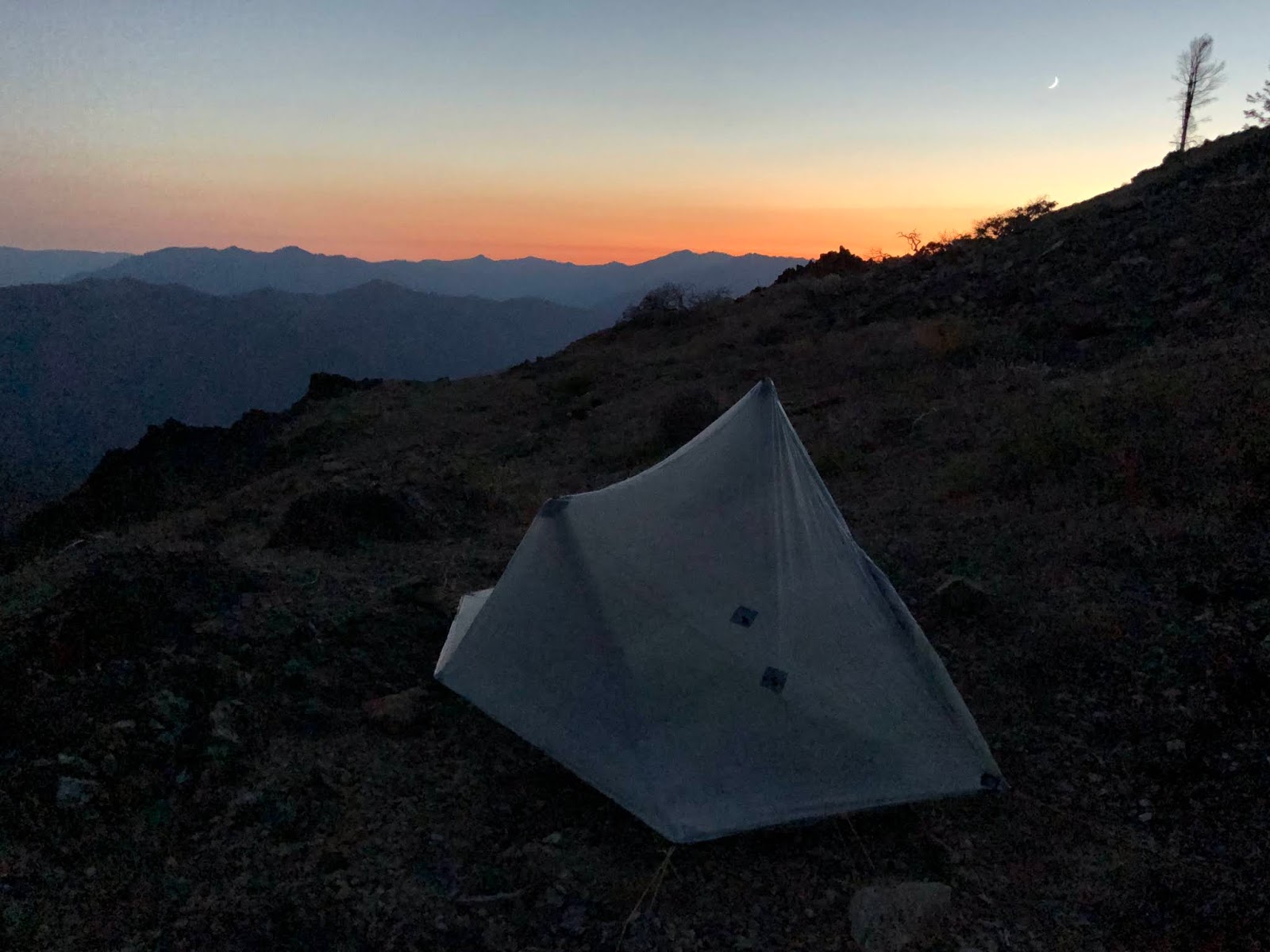
Opening Shot: Watching the sunset at camp

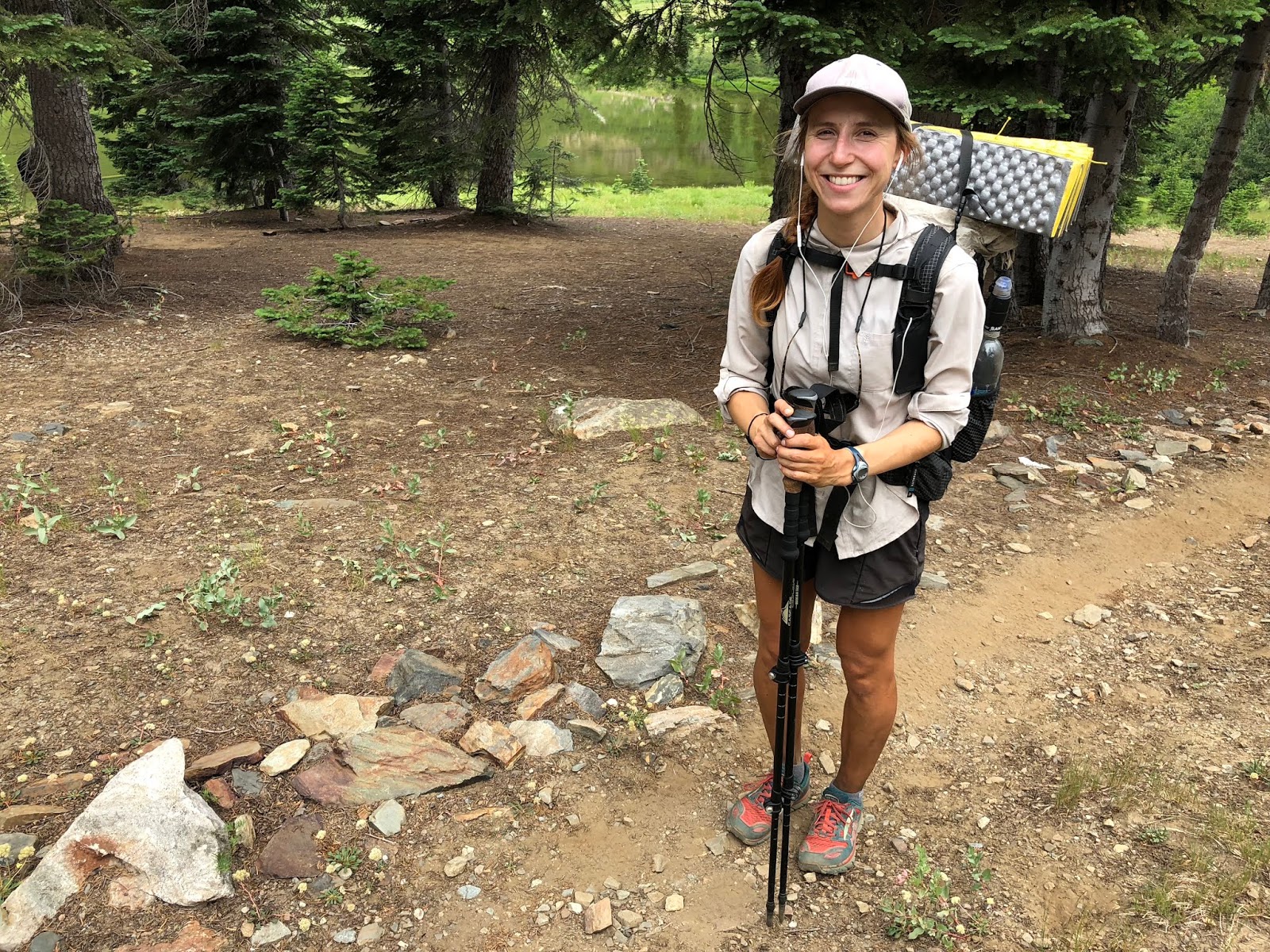
We were up early at Shadow Lake as we had a long day ahead to set up for our short final day. The views at Shadow Lake will never get old.

The morning glow off of Marble Mountain was a nice way to start the day.

This is morning to the south.
First off we met Spider-man from Korea.
Then we met Songbird from Northbend, Washington. She is an avid photographer and author. She’s written many hiking books for the northwest. It was very cool to visit with her. She warned us that there were mountain lion tracks ahead as it was in pursuit of a deer. Five-star from Missoula was hiking with her. Her website is www.tamiasars.com

We quickly came upon the lion tracks, which went on for about a mile. They were fresh, and we could see the deer tracks it was pursuing too. No sign of the actual animal though.

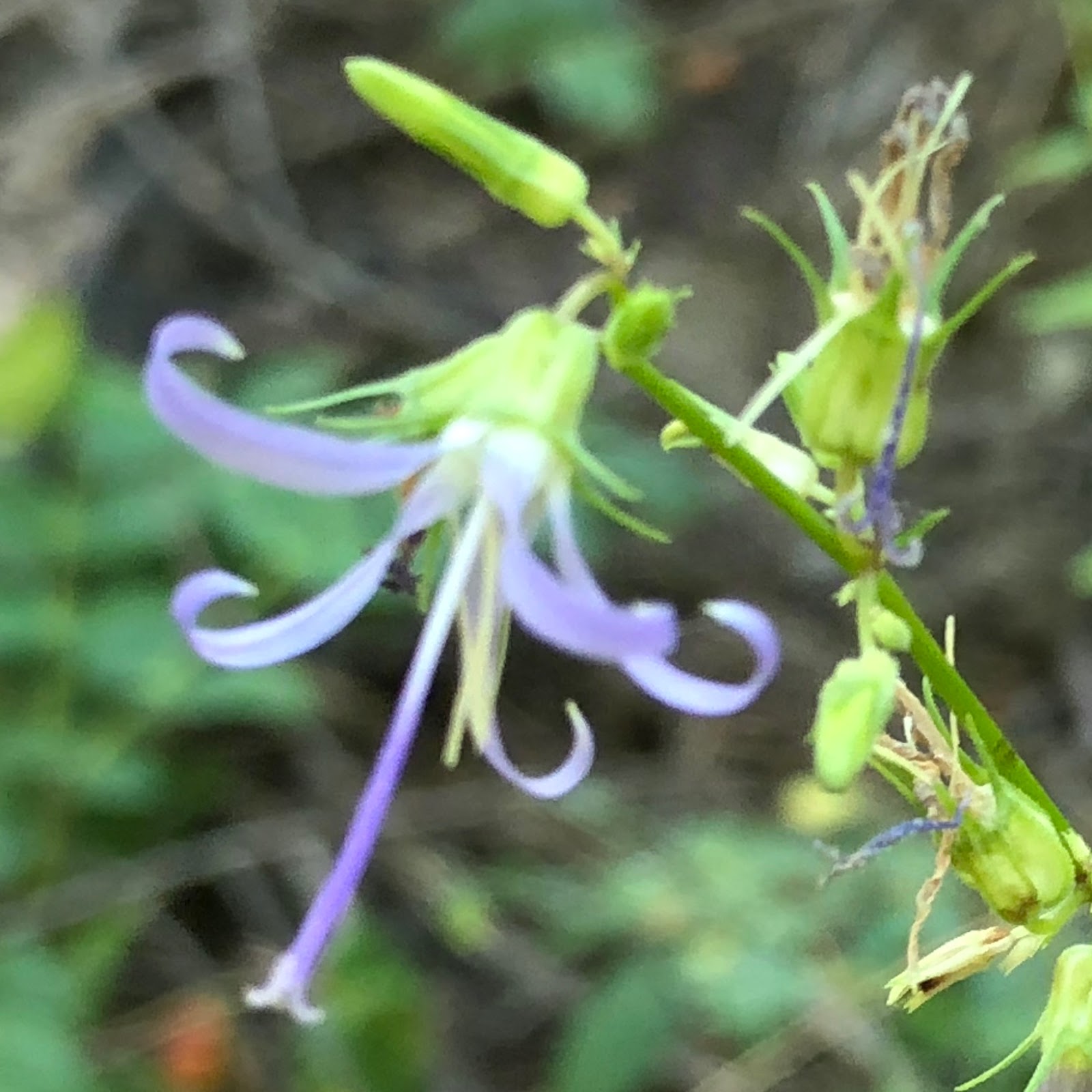
The first flower today was a new one for me in the beautiful Wild Easter Lily.

We also saw this radiant pink flower,

and Western Pasque Flower.

Next was Pacemaker from Spokane and Blackberry from Holland. I thought we had a good story about the lion, but they had just been walking along and heard some rumbling that they thought were rocks falling, but it was actually a bear that was charging down the hillside and it split the difference between them and kept on going. Wow...that’d get your blood pumping!

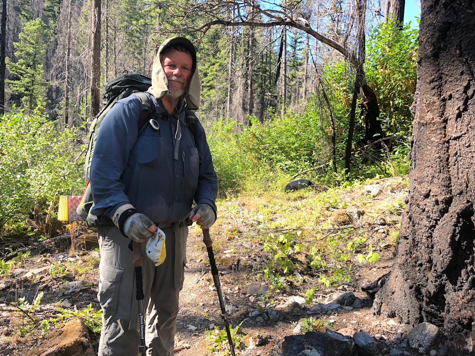
We headed up climb, and I’m minding my own business, and I look up to see...Anish! The legend Anish, who holds the unsupported PCT fastest known time (FKT) of the PCT in 61 days in 2013. That’s almost 45 miles per day average over the 2,650-mile trail. It was an honor to meet her and to give her Fritos for trail magic. She is attempting to hike the entire triple crown in one calendar year this year. She is incredible. She was with her boyfriend (and now fiancé I understand), Pistachio.
As we continued our climb to breakfast, we got another good back to Marble Mountain.
We got to a perfect breakfast break at the top of a cliff that overlooked Summit, Meadow, and Campbell Lakes. We enjoyed a leisurely breakfast with our great views.

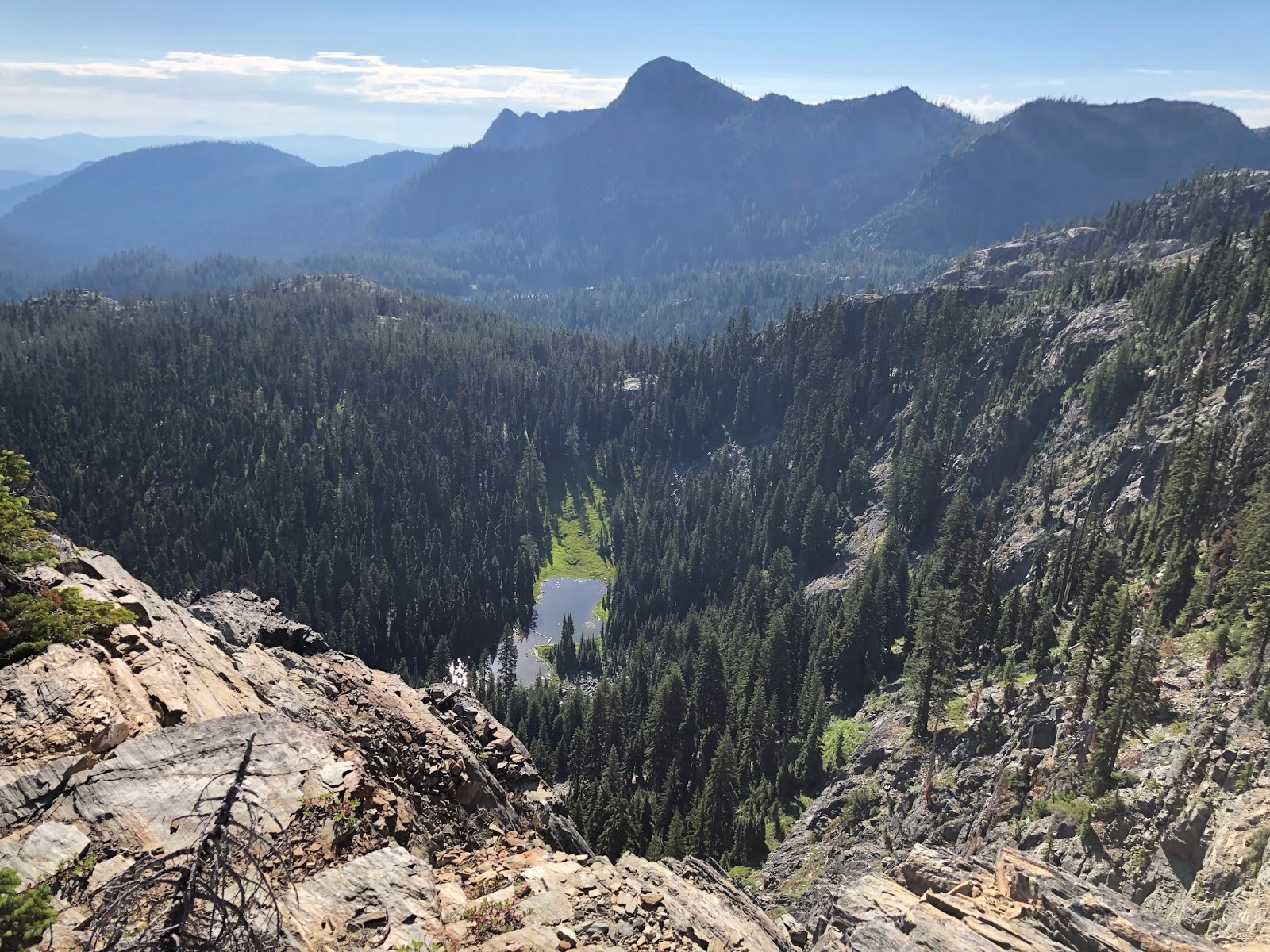
We passed by Cliff Lake, which is the deepest lake in the wilderness, as we approached our high point for the hike at about 7,100’.

We met a delightful couple, Ryan and Mariah, from Maui, doing a long section hike from Beldon to Crater Lake.
We approached the neatest lake on the hike, Man Eaten Lake. I didn’t think there was a way down to it, but we found a pretty good looking social trail going down to it. It looked so close! (You know how that goes)
Jon and I gave it a go. It was a pretty steep drop and the trail meandered, so it was about twice as long as I thought (typical). It was a 400’ drop over a half-mile.
It was pretty hot; I had my favorite swim of the hike in this lake as it was crisp and super clear.

We cruised back up to the PCT and said goodbye to this majestic lake as we crossed over a pass into a new valley.

We met T-bone from Ashland.

Here is a clip of us trying to manage the heat.
2018-07-14 Hiking from Michael Irving on Vimeo.
We passed Marten and Fischer (shown) Lakes.

We met Scrubs from Salt Lake City,
and Slim from Boston.

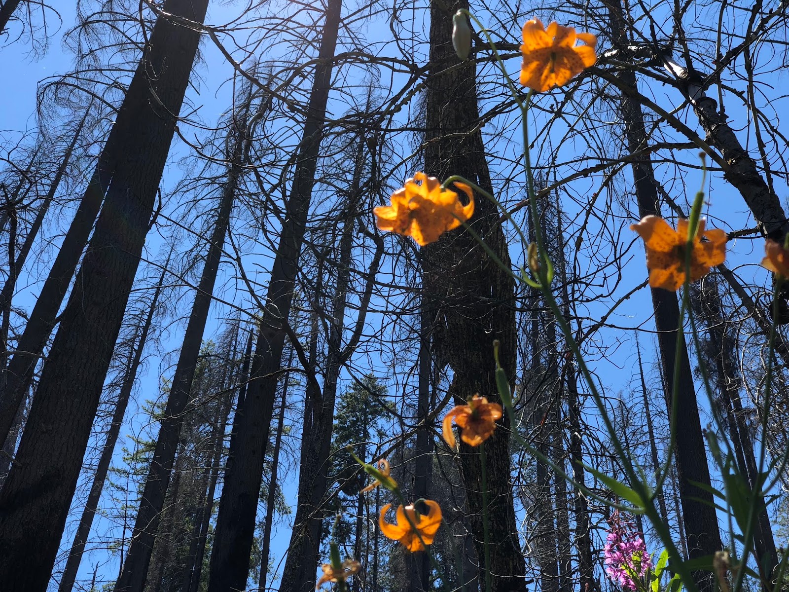
We entered the burn area from the 2017 Wallow Fire, that was started by lightning. We could tell it was a HOT one.
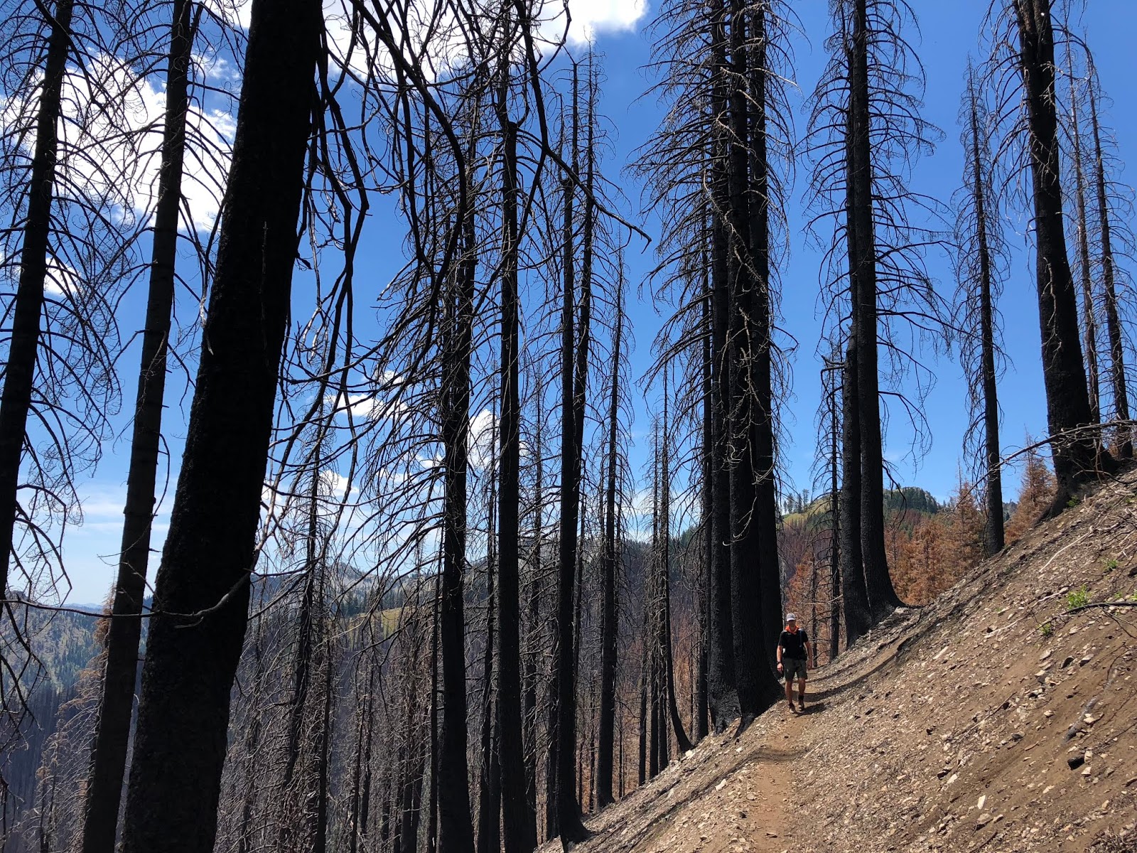
The forest floor was burned totally clean in many areas.

Reaper from San Francisco was next.

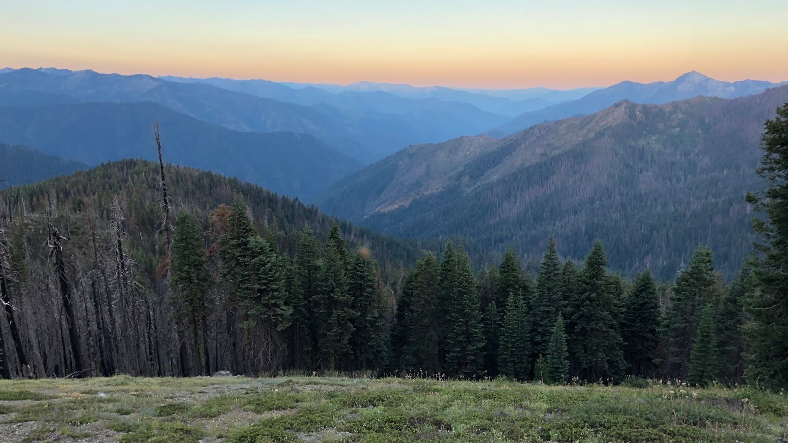
We got a view down toward our destination of Etna, down on the valley floor.

We arrived at our water stop which was great on this really hot, 95-degree day. There was quite a crowd as we met Bazinga from Yakima and Jeremiah, also from Washington.

Also there were Double Shot from Kirkland, and Lost Girl from Ohio. Double Shot is retired from Starbucks, and worked with the CEO, Howard Schultz on a regular basis. He also confirmed my great story from last year, when I met the friend of Don Valencia, who was the chemist who invented Via coffee before he passed away from cancer. They named the coffee after him with the first letter and last two letters of his last name. He also told me that it took multiple attempts to get Howard Schultz to consider it as he didn’t think instant coffee was their brand. Finally he gave him a recipe to taste that was worthy and he said, “Ship it”!
On we went, into the heat, and met Magpie from Canada.

Ferrari was up next from Italy,
and Secret Vice from Australia, who’s dad came to hike a section with her. I tried to get her to give up what her vice was, but her trail name was true to form and she wouldn’t reveal it.
We stopped off to get water at Cub Bear Spring, which was just slightly off trail. This was our original camp goal. I’m glad we decided to go further, as it is a burned out ghost from the fire.
Next we met a very fun pair in Ziploc from Germany and Tenderfeet from
Sweden. They even wanted a selfie with us.
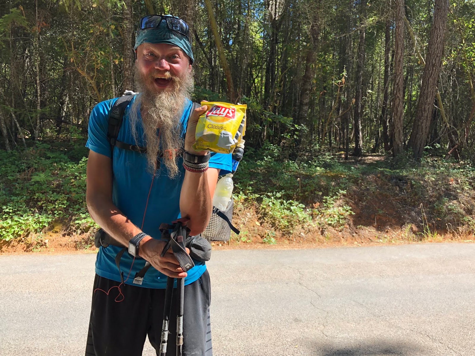
We were in the home stretch...but it was an uphill one. I was pushing hard as I could see the finish. We met Soda Pop from Japan as our final hiker of the day.

The trail tread was in great repair as I could tell that the trail crews did a great job with fire recovery. My chip bag was definitely getting lighter!
We made it to the saddle of Razor Ridge at 6:30. It was a burned pretty bad with charcoal trees still standing. We scouted up the ridge a bit and found some good sites with much better views and no trees to fall on us.
I hiked on up to the summit of Peak 6882 and saw some nice views of the trail we just came from,
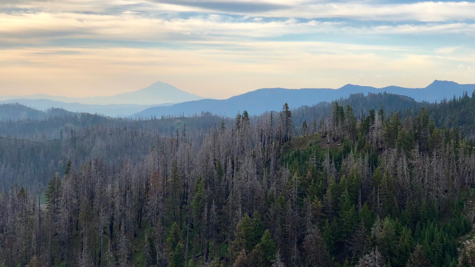
The Trinity Alps off into the distance south for next time in this area,
and of course a 360-degree video to commemorate the summit.
2018-07-14 Razor Ridge from Michael Irving on Vimeo.
I went back to camp for dinner,
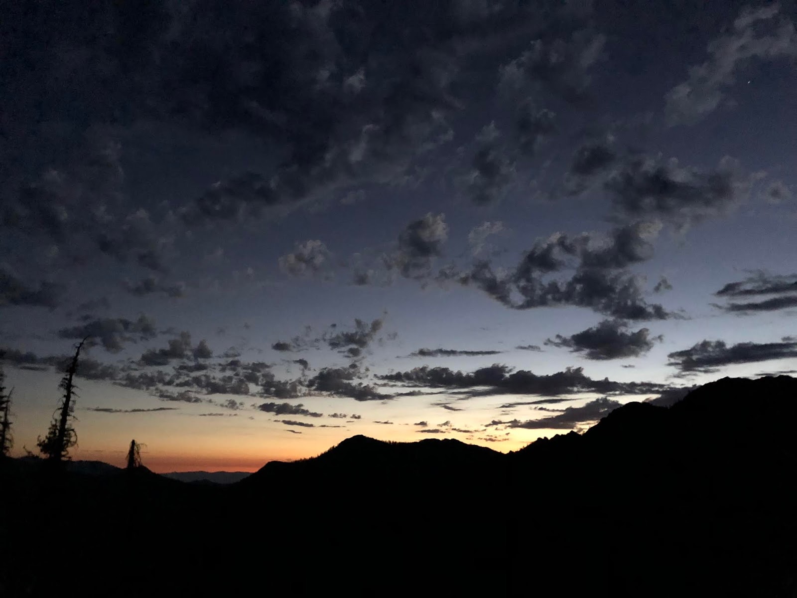
and to prepare for another amazing sunset.

The crescent moon got into the act too.
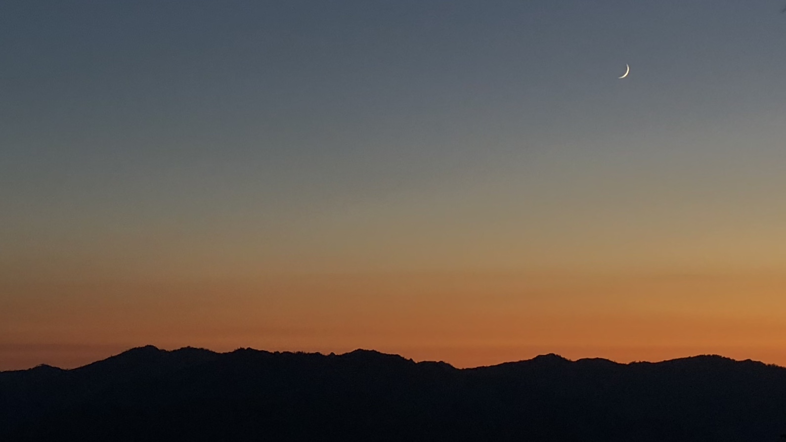
Good night from Razor Ridge!

Summary:
Beautiful morning at Shadow Lake, gorgeous breakfast overlooking the lakes, getting to meet Anish, swimming in Man Eaten Lake, and an epic sunset in camp...a good day!
Favorite experience of the day:
Getting to meet Anish!
Least favorite experience of the day:
It was pretty steep to camp at the end of a long, hot day.
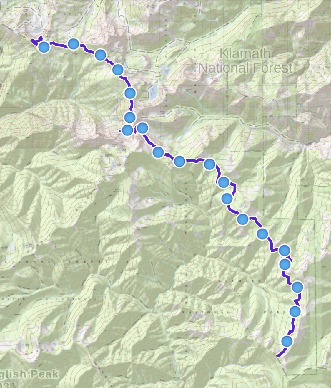
Today's route (top-to-bottom):
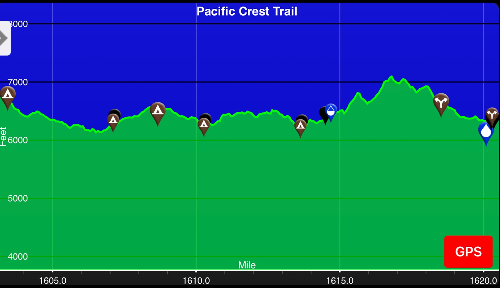
Today's elevation (right-to-left):
Google Earth with Track:

-GoalTech
www.GoalTechHikes.com
@goaltechhikes (Instagram)
PCT20 - Day 5 - Razor Ridge to Etna
“Allez les Bleus!”
7/15/18
Rating: 3.5 Stars
Miles: 3.7
PCT Miles: 3.7
PCT Miles: 1601-1597
Time: 1 hrs, 40 min
Avg MPH: 2.2
Elev Min: 6,000’
Elev Max: 6,800’
Total Ascent: 350’
Total Descent: 1,080’
Elev Change: -800’
Steps: 15,400
Flights of Stairs: 18
Time Up: 4:00
Sleep Hours: 6
Leave Camp: 5:10
Temp Low: 65
Temp High: 70
Thru-hikers: 6/82
Other hikers: 0/5
Male:Female hikers: 67%/33%
Hikers with a trail name: 100%
Longest time without seeing a hiker: 1:50
Wildlife: Olive-sided flycatcher, Chipmunk
Chips: 5/49
Via: 0/12
Nips: 1/17
Declines: 0/3
Verizon Cell Service: Etna Summit
Trail Register * Wilderness Boundary * Etna Summit * Etna * Trail Angels’ House * World Cup * In-n-Out Burger
Opening Shot: Sunrise
It was an early morning as we woke up to get ready in the dark at 4:00am. Our mission today is to be in front of the TV in Etna by 8:00 to see the World Cup final between France and Croatia. Tooth Fairy’s other side of the family is French and his boys are in France for the final, so it was to be an important day!
On our way out we met Chariot from Michigan, in the same area we avoided camping in last night.

The morning sunrise did not disappoint.

We had a low pass to get over, and then it was all downhill from there.

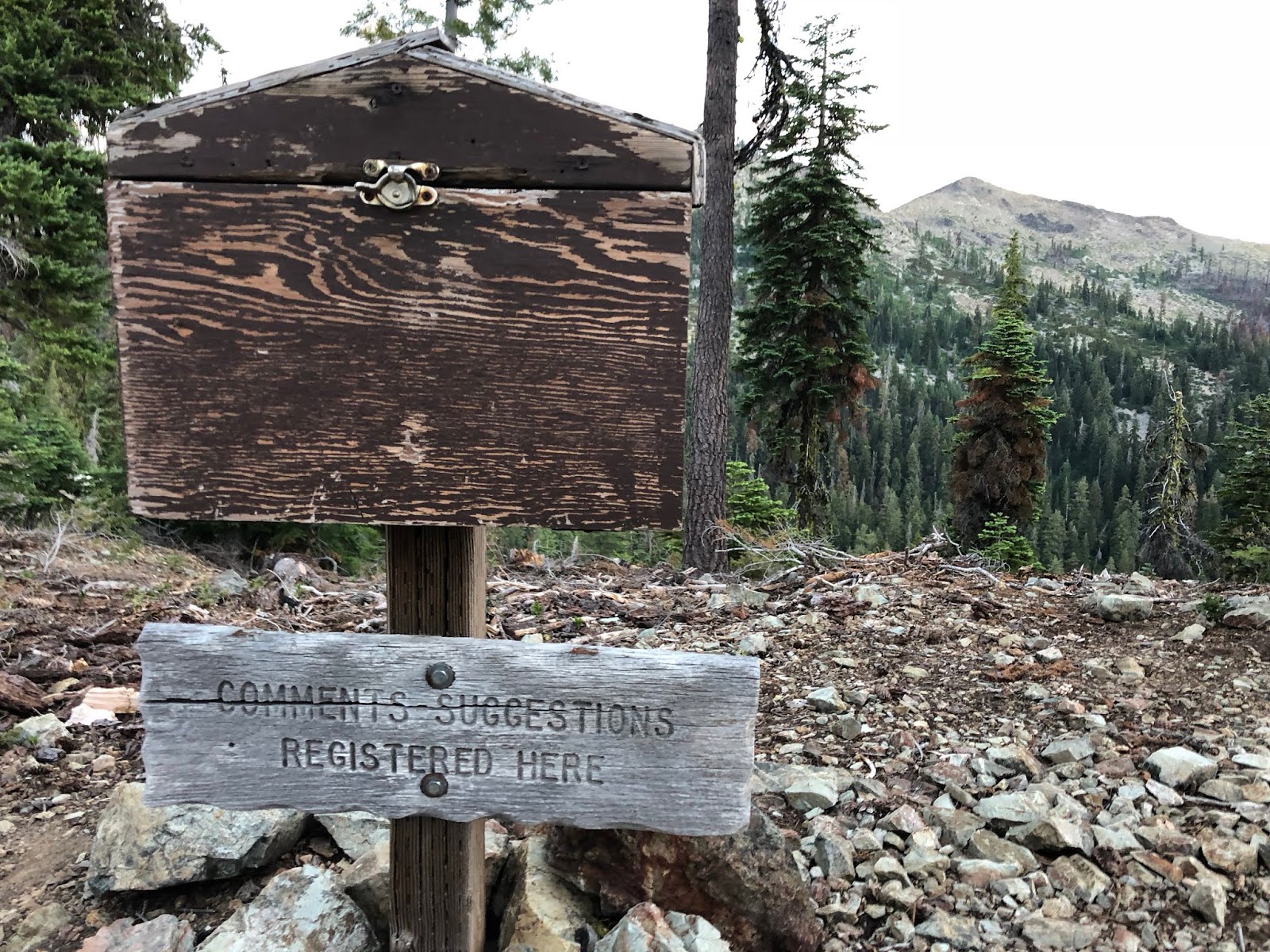
We exited the Marble Mountain wilderness,
and signed into the trail register. We got a good chuckle about the sign saying “Comments-Suggestions Registered Here”. Let’s just say that led to some humorous signings in the log. Some example suggestions were to have an ice cream stand, free Slurpies, and anti-gas pill dispensers along the trail.
We got another preview of the Trinity Alps for a future hike south of here,

Along the final crest we went,

and down to the trailhead at Sawyer’s Bar Road.

There waiting for us was Bat S*?t Crazy Mama, waiting to shuttle us down to Etna. I had met her husband, Tortuga, on the PCT in Southern California in 2014. He told me to look him up when I came through Etna and that he’d host me. I did just that and he very generously agreed to host us. His whole family is in fire-fighting and he was called out on the Klamathon Fire for logistics support, so his wife picked us up.
Here is our official finishing picture.

We also met our last bunch of thru-hikers, also waiting for a shuttle to Etna. They were the most excited bunch of hikers of the whole hike. We met Drop from The Netherlands, Ramen King from Boston, Fancy Pants from Sweden, Gourmet from Hong Kong, and Cheap Sunglasses from Illinois.

We piled into the car and descended way down the road into the valley to Etna. Crazy Mama was a ton of fun to visit with...we became fast friends. We heard about their wonderful cabin up in the woods that they actually helicopter-lifted to move once. It turns out, she got her trail name by shuttling her daughter back and forth every weekend when she was finishing college, so that she could finish her PCT hike. These involved up to hundreds of miles of driving each way, just so that her daughter could get in a few more days of hiking to finish the trail. Finally, one of her professors heard about her efforts and worked with her so she could get some longer strings in to finish. Her friends said to her that her mom was bat s*?t crazy for doing that for her.
We got a driving tour of Etna as we passed through and made it to their property on the other side of town by 7:30. I had just enough time to get my gear from the car and set up my Apple TV on their WiFi to stream the championship game at 8:00.
After getting showered up and organized, we had breakfast casserole during halftime. Originally I thought I’d have a big piece or two. It was so good with the salsa and sour cream. We ended up eating the entire casserole. My was that tasty! Thanks Mama!

France took care of business and won the game 4-2. We thoroughly enjoyed our time here and were only sorry we weren’t able to see Tortuga. We took a group picture in honor of him with the picture I took of him in 2014 in the background.

I was even able to have my car charge here while we were hiking. We took off home and made a quick stop in Grants Pass to charge and go to In-n-Out burger. Then it was straight up I-5 without a stop to get home.
Mountain Goat and Tooth Fairy headed off to Washington...it was a fantastic hike as usual, I was glad to have them along. That’s all for now...I’ll see you on the next section from Stevens Pass to Snoqualmie Pass in about a month! Happy trails!
Here is the summary of our pack weight:
Mountain Goat
Starting Weight: 33.0
Finish Weight: 21.1
Reduction: 11.9
Tooth Fairy
Starting Weight: 27.1
Finish Weight: 20.3
Reduction: 6.8
GoalTech: (+trail magic)
Starting Weight: 20.0 + 7.8 = 27.8
Finish Weight: 13.4 + 5.1 = 17.5
Reduction: 11.1
Summary:
A great finish to a great hike. Tortuga and Bat S*?t Crazy Mama were SO awesome and generous!
Favorite experience of the day:
Visiting with Bat S*?t Crazy Mama and experiencing Etna.
Least favorite experience of the day:
Not getting to see Tortuga due to a fire he was called on to work.
Today's route (left-to-right):

Today's elevation (right-to-left):

Google Earth with Track:
-GoalTech
www.GoalTechHikes.com
@goaltechhikes (Instagram)

