Oregon PCT (85mi) Section Hike - Ashland to Crater Lake (Part 1)
Posted: August 14th, 2018, 12:48 pm
Note: This is Part 1 of my southern Oregon PCT trip report. Part 2. Part 3.
From July 16 to July 28, I hiked a section of the Oregon Pacific Crest Trail from Hyatt Lake to Mazama Village, along the way passing through Brown Mountain, Mt. McLoughlin, the Sky Lakes Wilderness, and the Oregon Desert.
I intended to go further, but because of foot problems (planar fasciitis), was only able to max out at around 15 miles or so tops (with considerable pain). Regardless, I plan on continuing the OR and WA PCT and finishing eventually.
I left behind my main DSLR camera in favor of saving some weight. So instead, used an iPhone 8 to take photos.
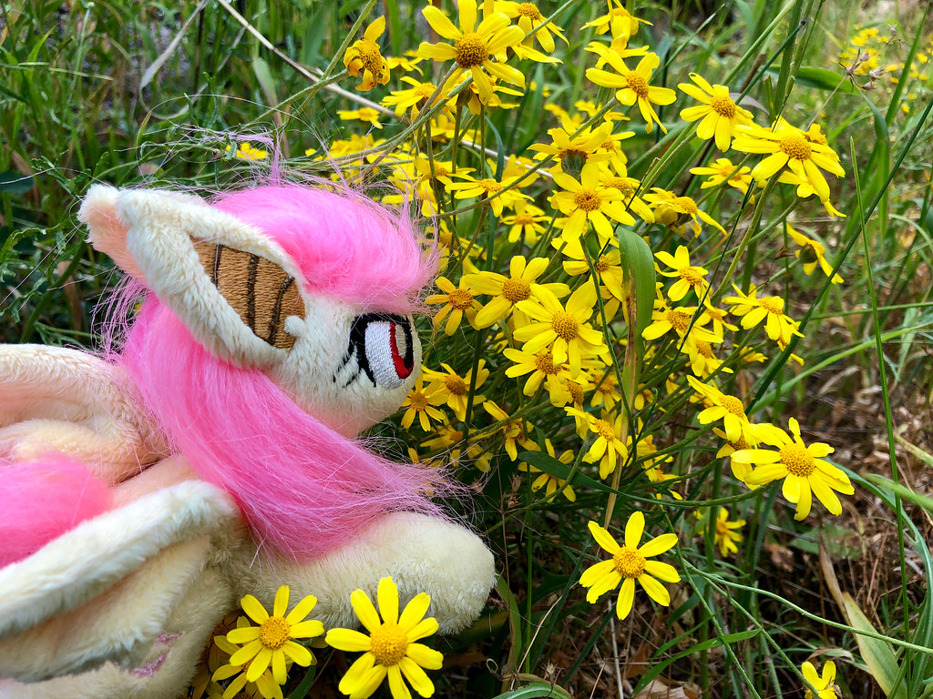
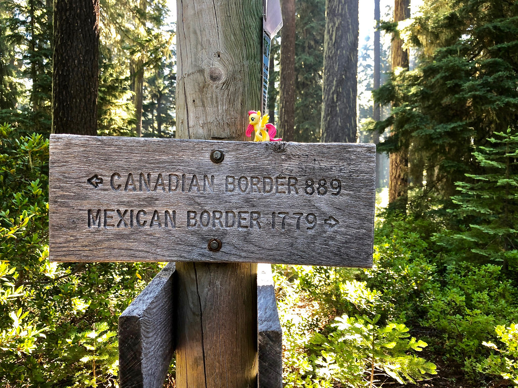
I brought along a tiny Flutterbat pony plush and a miniature Fluttershy figure along for the ride, taking dozens of photos of them along the trail. My goal is to eventually take her across the whole Oregon and Washington sections of the Pacific Crest Trail.
Part 1: Hyatt Lake to Fish Lake Resort.
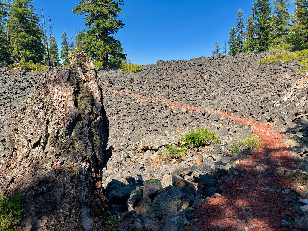
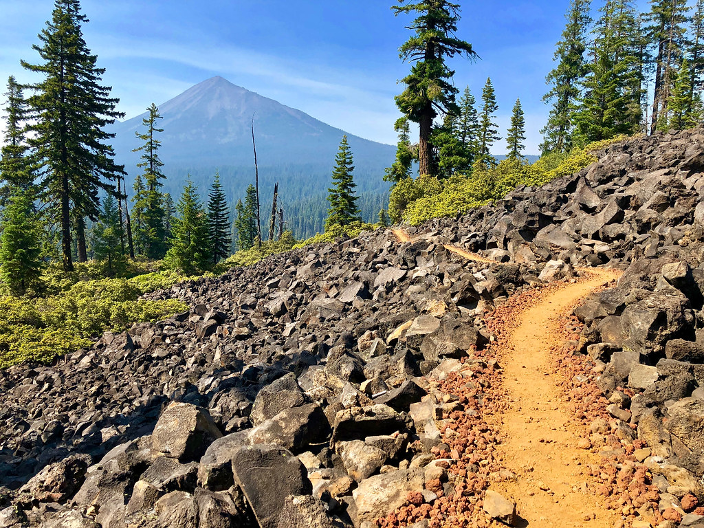 Opening Photos: Rounding the lava flows on Brown Mountain, with Mt. McLoughlin in view.
Trip Report
----Day 1----
Hyatt Lake to Howard Prairie Reservoir
Distance: 8.2 miles
Elevation Gain: 1,000 feet.
Weather/Temp.: Hot and sunny
On the first day, I started out from the unmarked PCT trailhead on E. Hyatt Lake Rd and began hiking through the Cascade Siskiyou National Monument.
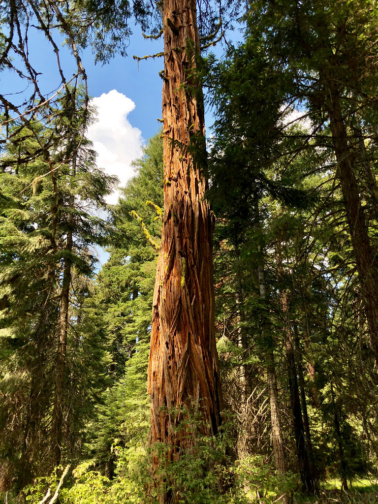
There were quite a few old growth incense cedars between Hyatt Lake and Howard Prairie Reservoir.
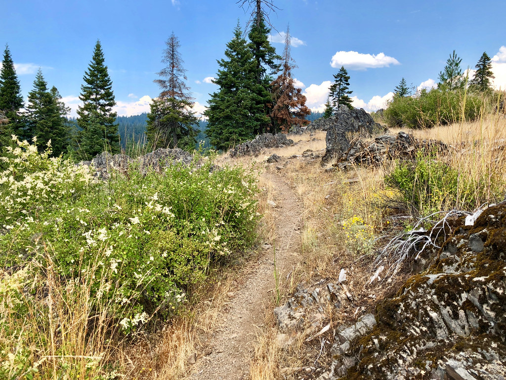
The trail went north, from dry, open forest to oak savannah and prairies.
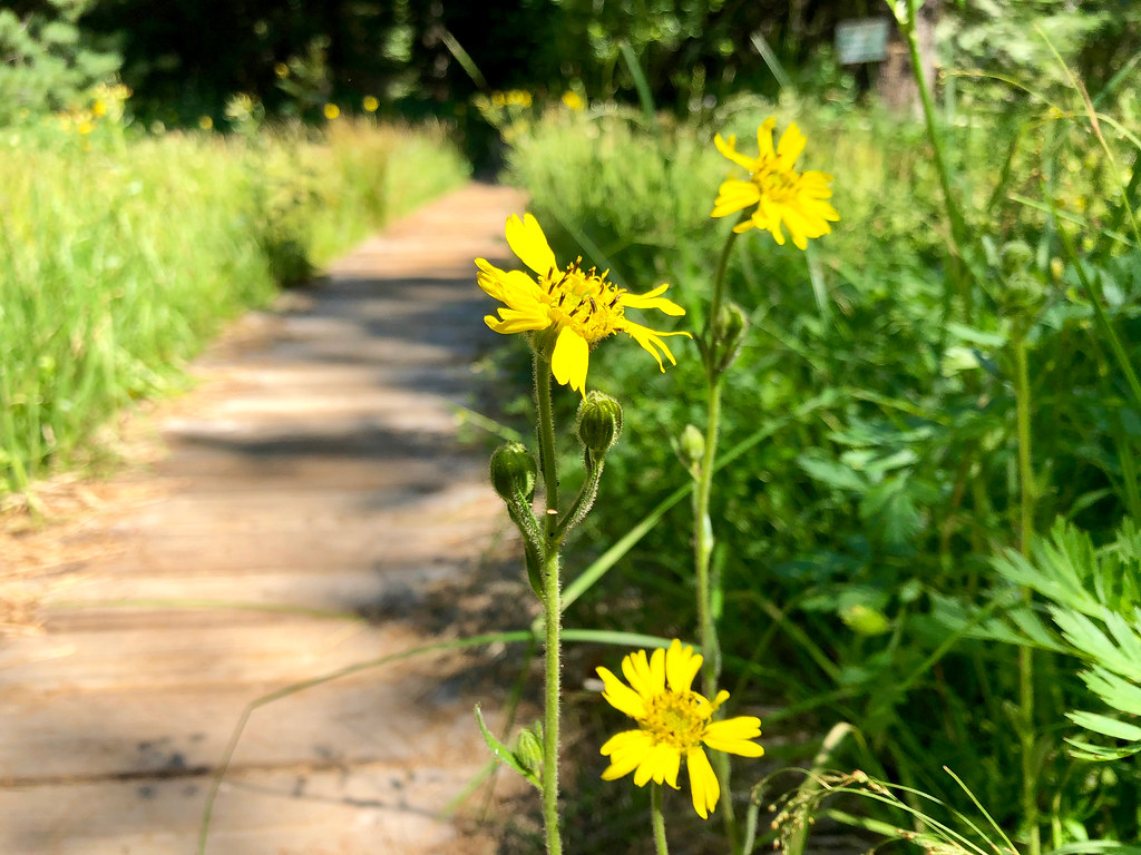
Passed by many beautiful clusters of gold stars in the open, dry meadows.
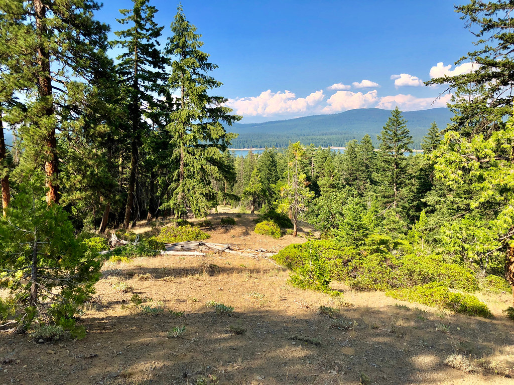
The trail wound over a bend, and led to a limited view of Howard Prairie Lake. Camped shortly there after that.
----Day 2----
Howard Prairie Reservoir to Brown Mountain Shelter
Distance: 13.7 miles
Elevation Gain: 2,560 feet.
Weather/Temp.: Hot and sunny
On the second day, started out along the northeast end above Howard Prairie Lake, and passed dozens of trespassing signs every 50 feet or so.
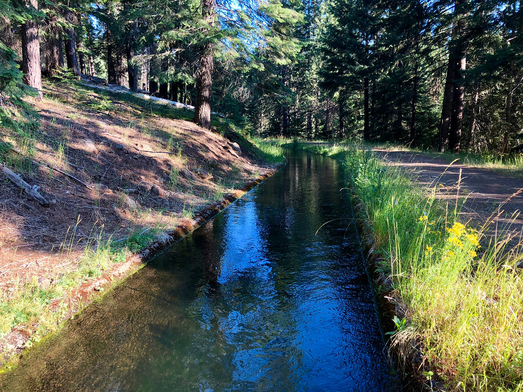
Crossed over the Howard Prairie Reservoir aqueduct...
...and immediately crossed over pretty little Grizzly Creek.
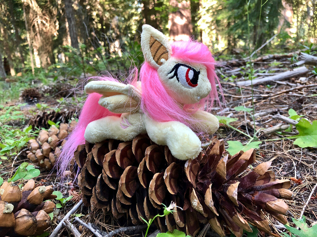
Tons of large sugar pine cones, mostly around 12 inches in length. Flutterbat (6") for scale.
Took a detour down to Griffin Creek springs to re-fill on water. Tons of different kinds of wildflowers grew here.
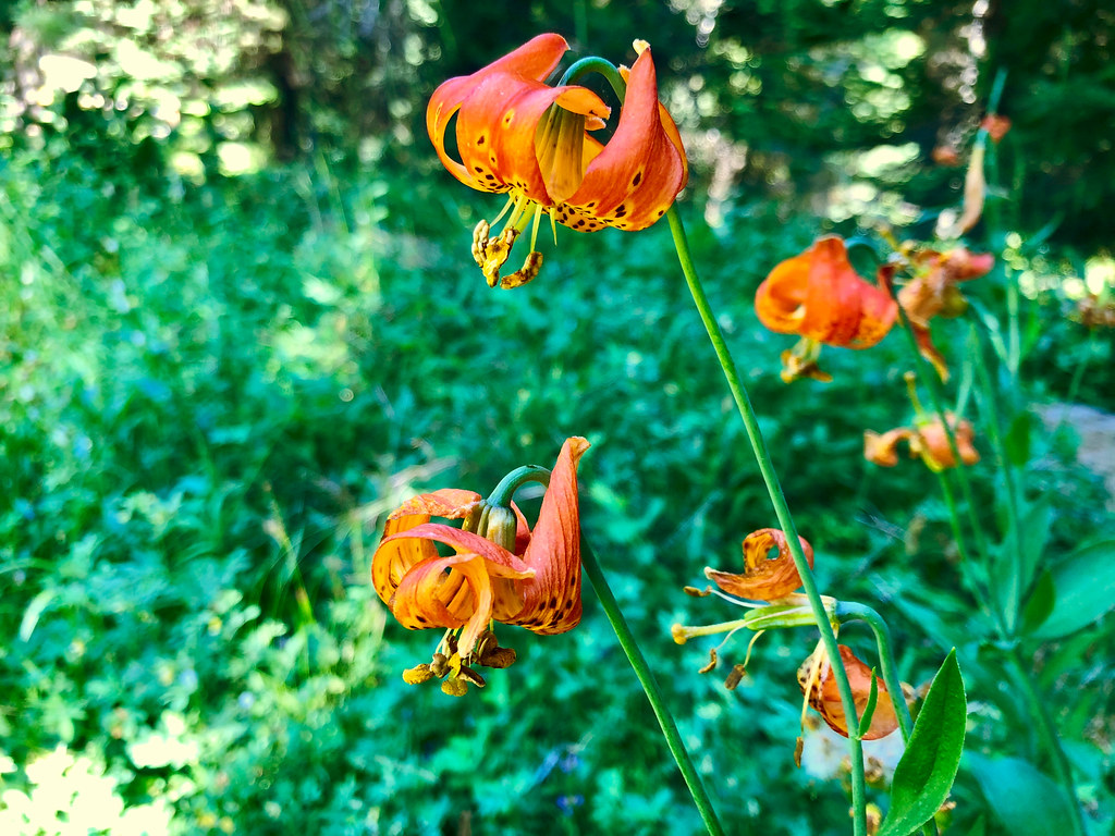
lilies
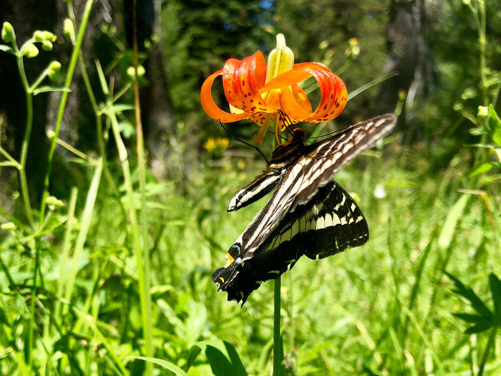
The local wildlife loved the spot, too!
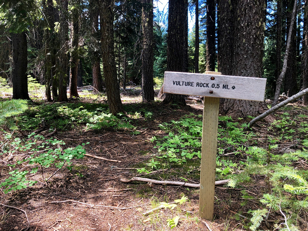
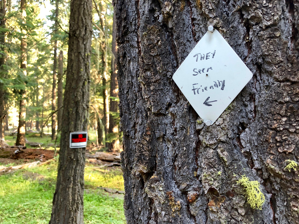
Passed by the junction with Vulture Rock Trail. Didn't take the detour, but once I got home, did a little research and found VanMarmot's trip report on it, which seems to conclude that it disappears after it crosses a 4WD road.
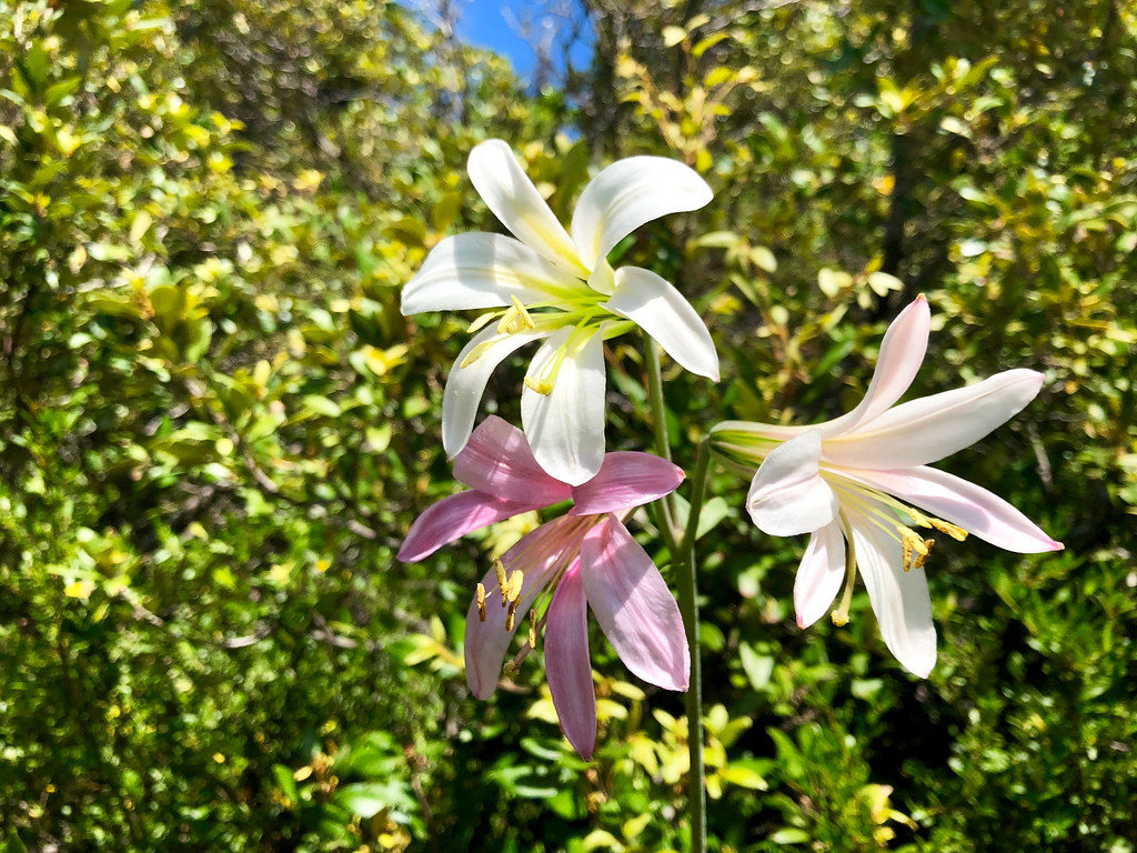
Some kind of lily?
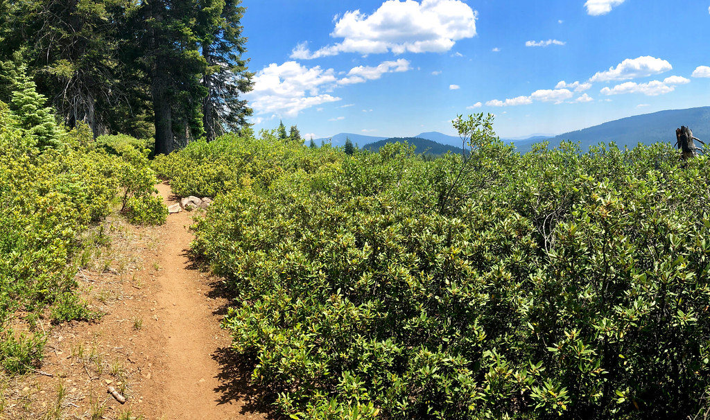
The trail wound around Old Baldy and through snowbrush, then entered the Rogue River National Forest.
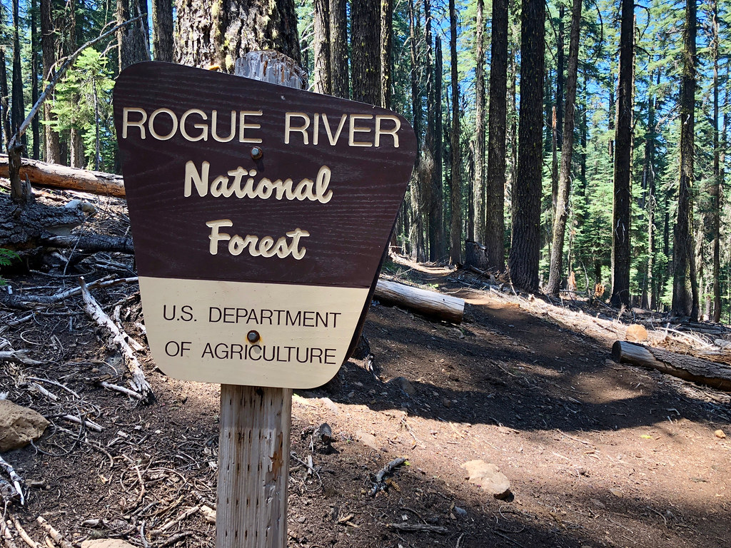
Once in the RRNF, things started to look much more green.
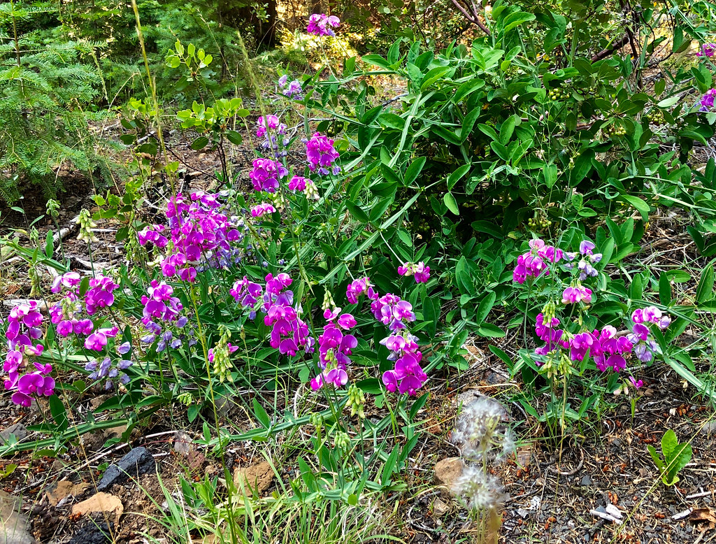
Tons of small wildflowers through here, growing in shady areas on the forest floor.
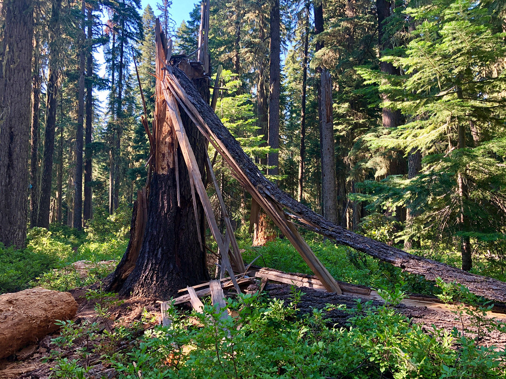
Massive tree splintered and fell.
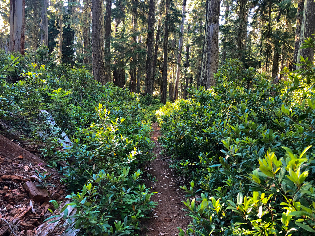
Nearing the junction with the Brown Mountain Shelter, the trail passed through thickets of rhododendron.
Stayed at Brown Mountain Shelter for the night.
-----Day 3------
Brown Mountain Shelter to Fish Lake Resort
Distance: 12.3 miles
Elevation Gain: 1,110 feet.
Weather/Temp.: Mild and Sunny
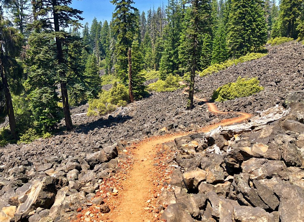
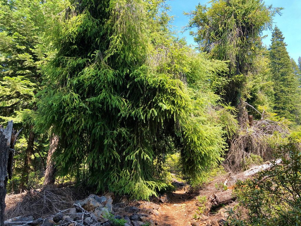
Started out in the forest, then traversed around the lava flows around Brown Mountain.
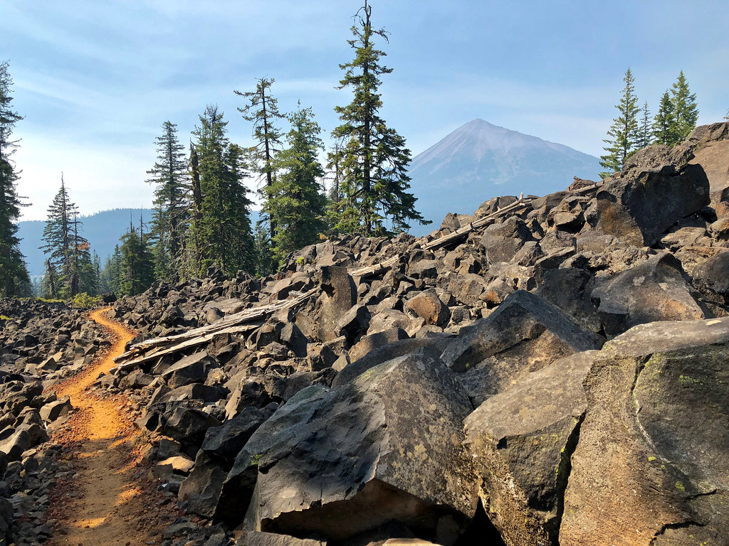
After a few miles, the trail rounded a corner and Mount McLoughlin popped into view.
Mt McLoughlin (9,493 ft) is the most prominent volcano in the Rogue River valley. It is also the tallest volcano between Mt. Shasta in northern California and South Sister in central Oregon.
Went through a "tunnel" in this tree!
Pink wildflowers on the way down to Fish Lake Resort.
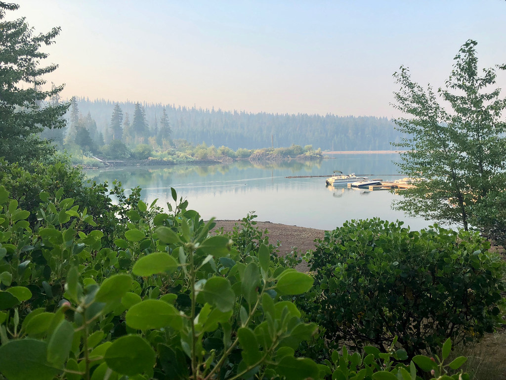
Fish Lake
Stayed at the resort for two nights, then continued north to Mazama (coming in Part 2).
http://gpsfly.org/g/8359
http://gpsfly.org/g/8360
http://gpsfly.org/g/8361
From July 16 to July 28, I hiked a section of the Oregon Pacific Crest Trail from Hyatt Lake to Mazama Village, along the way passing through Brown Mountain, Mt. McLoughlin, the Sky Lakes Wilderness, and the Oregon Desert.
I intended to go further, but because of foot problems (planar fasciitis), was only able to max out at around 15 miles or so tops (with considerable pain). Regardless, I plan on continuing the OR and WA PCT and finishing eventually.
I left behind my main DSLR camera in favor of saving some weight. So instead, used an iPhone 8 to take photos.
I brought along a tiny Flutterbat pony plush and a miniature Fluttershy figure along for the ride, taking dozens of photos of them along the trail. My goal is to eventually take her across the whole Oregon and Washington sections of the Pacific Crest Trail.
Part 1: Hyatt Lake to Fish Lake Resort.
Trip Report
----Day 1----
Hyatt Lake to Howard Prairie Reservoir
Distance: 8.2 miles
Elevation Gain: 1,000 feet.
Weather/Temp.: Hot and sunny
On the first day, I started out from the unmarked PCT trailhead on E. Hyatt Lake Rd and began hiking through the Cascade Siskiyou National Monument.
There were quite a few old growth incense cedars between Hyatt Lake and Howard Prairie Reservoir.
The trail went north, from dry, open forest to oak savannah and prairies.
Passed by many beautiful clusters of gold stars in the open, dry meadows.
The trail wound over a bend, and led to a limited view of Howard Prairie Lake. Camped shortly there after that.
----Day 2----
Howard Prairie Reservoir to Brown Mountain Shelter
Distance: 13.7 miles
Elevation Gain: 2,560 feet.
Weather/Temp.: Hot and sunny
On the second day, started out along the northeast end above Howard Prairie Lake, and passed dozens of trespassing signs every 50 feet or so.
Crossed over the Howard Prairie Reservoir aqueduct...
...and immediately crossed over pretty little Grizzly Creek.
Tons of large sugar pine cones, mostly around 12 inches in length. Flutterbat (6") for scale.
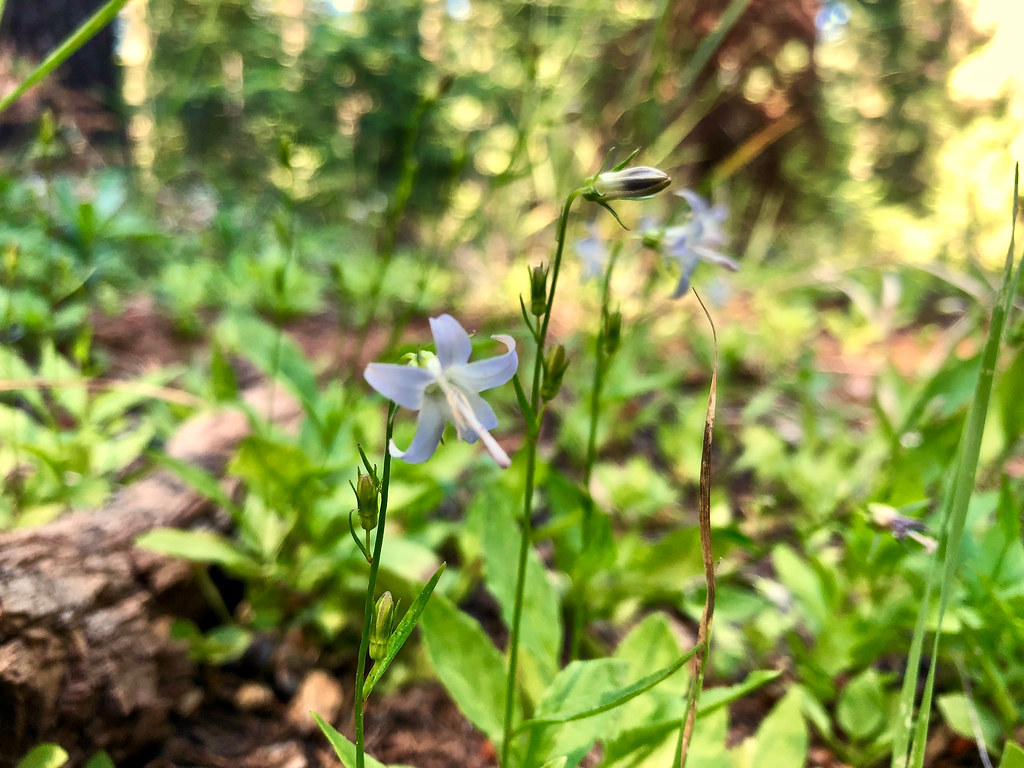
Took a detour down to Griffin Creek springs to re-fill on water. Tons of different kinds of wildflowers grew here.
lilies
The local wildlife loved the spot, too!
Passed by the junction with Vulture Rock Trail. Didn't take the detour, but once I got home, did a little research and found VanMarmot's trip report on it, which seems to conclude that it disappears after it crosses a 4WD road.
Some kind of lily?
The trail wound around Old Baldy and through snowbrush, then entered the Rogue River National Forest.
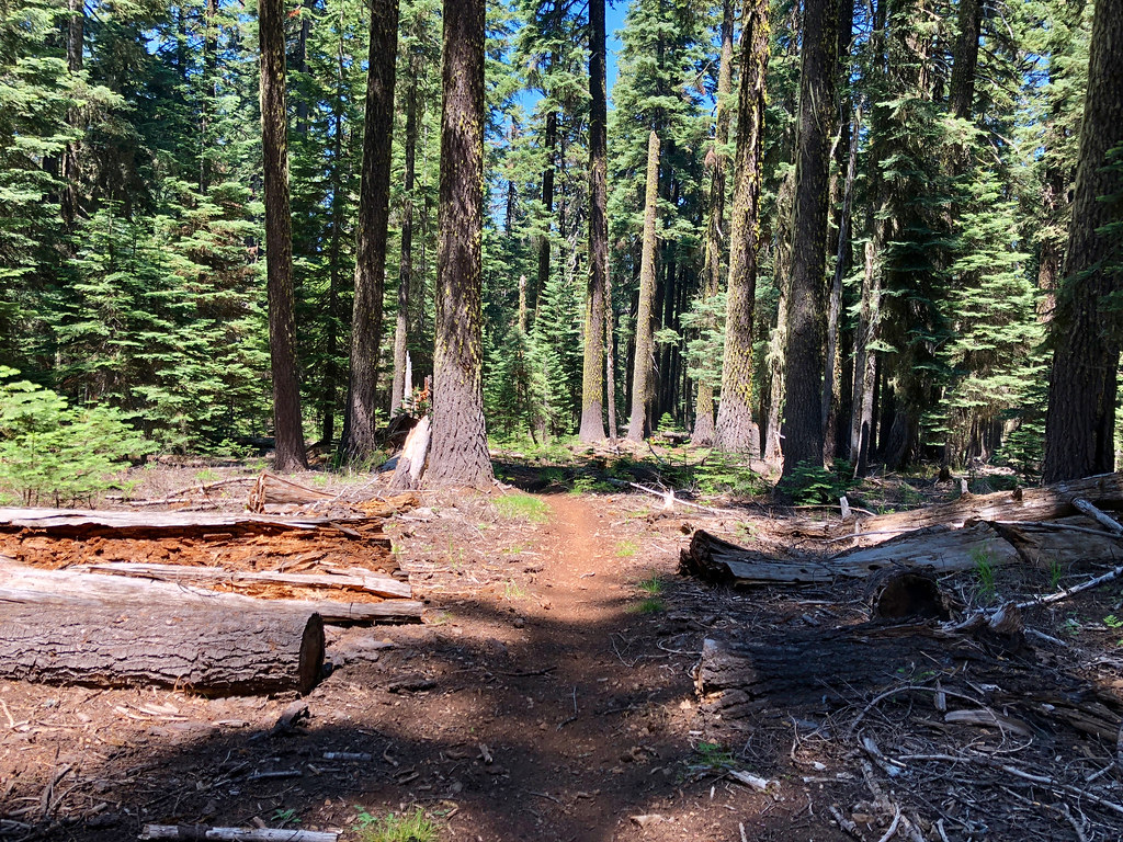
Once in the RRNF, things started to look much more green.
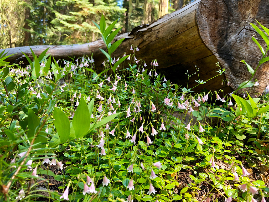
Tons of small wildflowers through here, growing in shady areas on the forest floor.
Massive tree splintered and fell.
Nearing the junction with the Brown Mountain Shelter, the trail passed through thickets of rhododendron.
Stayed at Brown Mountain Shelter for the night.
-----Day 3------
Brown Mountain Shelter to Fish Lake Resort
Distance: 12.3 miles
Elevation Gain: 1,110 feet.
Weather/Temp.: Mild and Sunny
Started out in the forest, then traversed around the lava flows around Brown Mountain.
After a few miles, the trail rounded a corner and Mount McLoughlin popped into view.
Mt McLoughlin (9,493 ft) is the most prominent volcano in the Rogue River valley. It is also the tallest volcano between Mt. Shasta in northern California and South Sister in central Oregon.
Went through a "tunnel" in this tree!
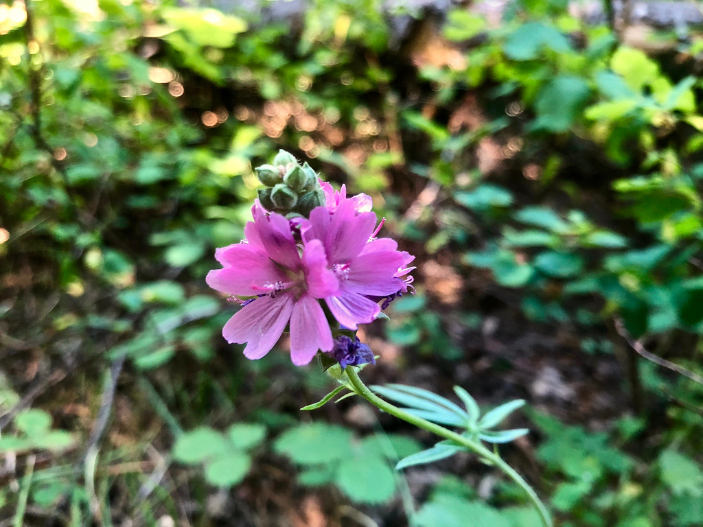
Pink wildflowers on the way down to Fish Lake Resort.
Fish Lake
Stayed at the resort for two nights, then continued north to Mazama (coming in Part 2).
http://gpsfly.org/g/8359
http://gpsfly.org/g/8360
http://gpsfly.org/g/8361