Other than the dusty trail and the hot sunshine, the hike was a gradual and pleasant up and down.
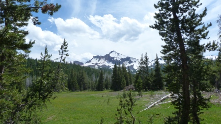
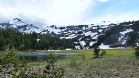
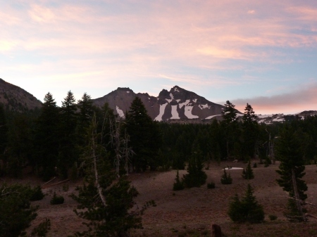
Once we hit Park Meadow we began to come across small patches of snow, but nothing on significant and most of it was in the shadows off the trail. We chose to stay our first night at Golden Lake. There were 3-4 other groups staying at the lake, but we found a spot near the outlet creek and in direct view of Broken Top. The views were amazing and the wind was just enough to keep the mosquitos at bay, they actually weren't bad the entire trip, which was a happy surprise. Day one was around 8.0 miles.
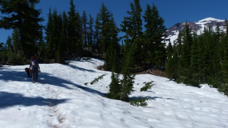
Almost immediately after returning to the trail the next morning we hit snow. It was hard enough to not post-hole, but slushy enough to slip quite a bit. Our dog loved it! It was easy to stay on the trail...we just followed the footsteps. As we gained elevation as we approached the saddle between South Sister and Broken Top, the snow patches turned into snow fields, but still nothing serious, and the trail was easy to follow.
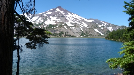
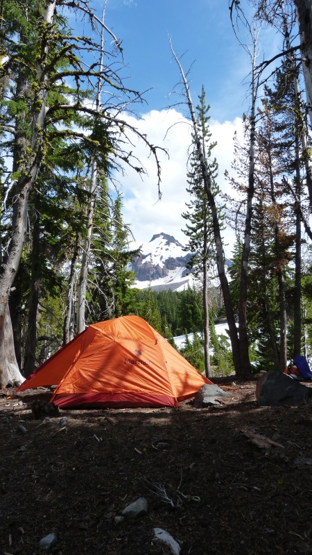
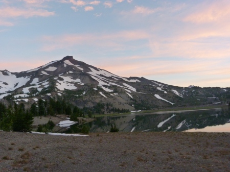
Our second night we stayed on the south end of the largest of the Green Lakes. The day's hike was an easy one, only 3.5 miles. We lounged around the lakes waiting for an onslaught of campers, but they never came...only 3 other groups camped in the basin that we knew about, and all of them were not in hear-shot or view.
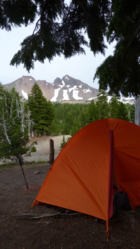
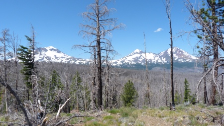
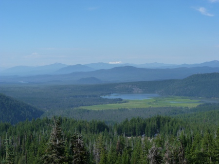
On day three our original plan was to take it easy, hike about 5 miles to the base of Broken Top near Crater Creek and spend another day hanging around camp, reading and maybe playing some cards. However, I woke up early at Green Lakes and we were on the trail by 8:00am. The trail from Green Lakes to Crater Creek is a very enjoyable and scenic stroll. We encountered very little snow, and what we did encounter was again very easy to traverse. We began to get views of Bachelor and the peaks to the south including Theilsen.
We arrived at Crater Creek around 10:30am and decided to skip the stop (even though there is an absolutely beautiful camp spot at a spring just west of Crater Creek. If I had the hike to do over again (and I just might), I would just eat lunch at Green Lakes and camp at these springs. We were determined to see no-name lake and to continue on to the east and look for a good campsite.
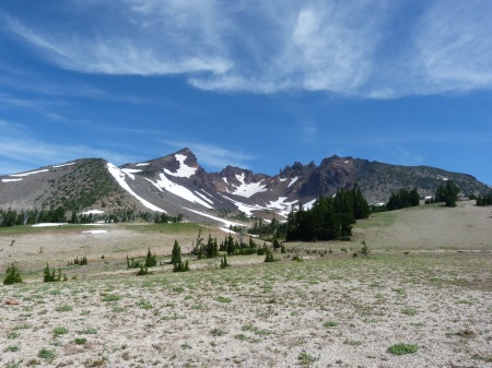
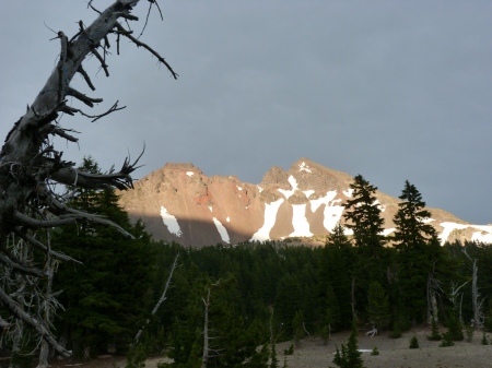
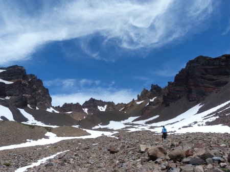
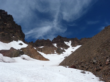
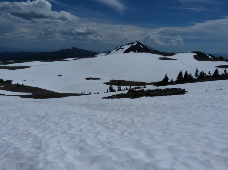
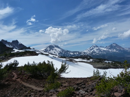
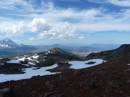
We came across several snow fields with glacial runoff and creeks flowing below. We had to be careful to avoid the snow bridges and either cross the creeks were there was no snow, or cross where we knew the snow was deep. We slowly made our way up the open plain and ditched our packs a quarter mile or so from the outlet creek and made the remaining scramble without the packs. Once we got up to the top we realized that no-name lake was still a glacier. A little bummed to not be able to see the lake, but still feeling good about the workout and the views, we continued back down to our packs and began crossing several snow fields to the east on our way up the south side of Tam McCarthur ridge. This was by far the most challenging portion of our trip. The snow fields were sloped fairly steep and were sketchy at times in regard to whether water was flowing beneath. We took our time and continued to use our trekking poles to check for strength. We also continued to follow the boot paths in the snow, however, sometimes the tracks split in different directions, or we decided to go our own way. Eventually, we located the "off trail" trail from a ridge and made our way along it until we set foot on the red cinder rock of Tam McCarthur. The views were amazing! We could see Adams, Hood, Jefferson, Three Fingered Jack, Washington, the Three Sisters, Broken Top, as well as Bachelor and Theilsen to the south.
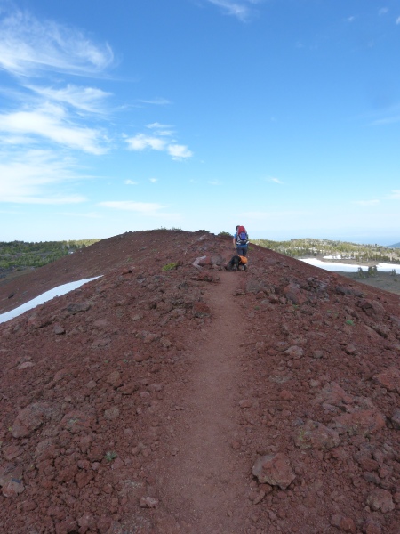
At the rim, we met a couple who had come up Tam McCarthur and were headed to no-name lake. Where we stood the trail along the rim split: one losing elevation and heading towards a snow field and another going up over several rock outcroppings. The couple told us they had went over the outcropping but that it was sketchy and encouraged us to take the other route. About 100 yards down the trail to the left we came across the snow field and realized that it would be very dangerous to cross, let alone the elevation loss we would encounter, so up to the rock outcropping we went. Our dog had his own pack on and it has a handle. I had to lift him over the larger boulders in order for him to clear the rocks. We had to do this for several sections, but eventually made our way to the top of the rim and a nice red cinder pathway on the rim of Tam McCarthur.
At this point, we both knew that the hardest part of the day was over in regard to elevation gain and decided that if we could high-tail it back to the trailhead, we might be able to enjoy a burger and a pint in Bend. So that’s what we did! Probably around 12.5 miles on our last day.
All around, one of the best backpacking trips I’ve ever been on! A total of 24 miles or so and the elevation gain to views ratio was clearly in favor of the views.
