Clarno Unit - John Day Fossil Beds & Spring Basin 4/22/17
Posted: April 26th, 2017, 5:34 pm
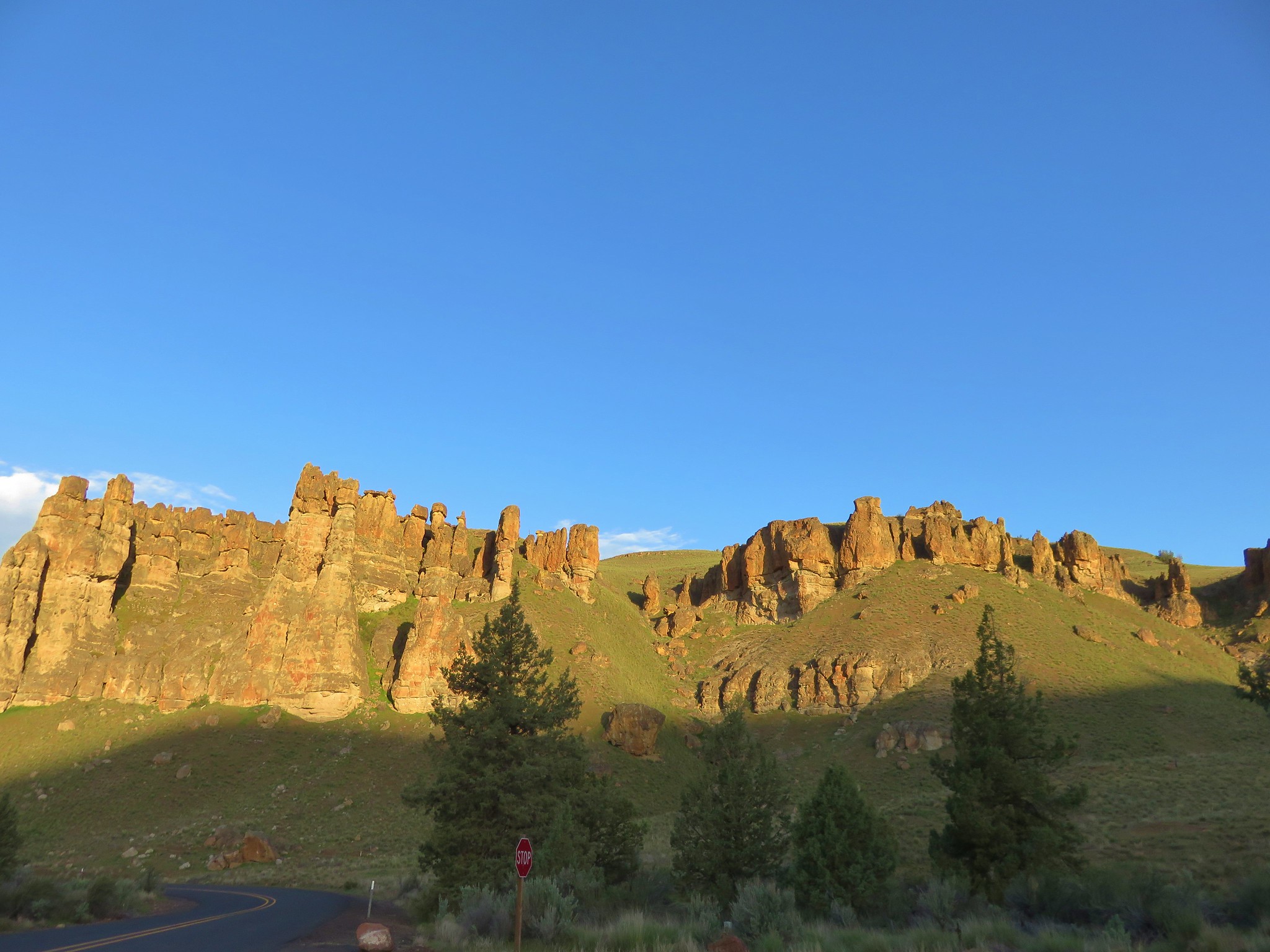
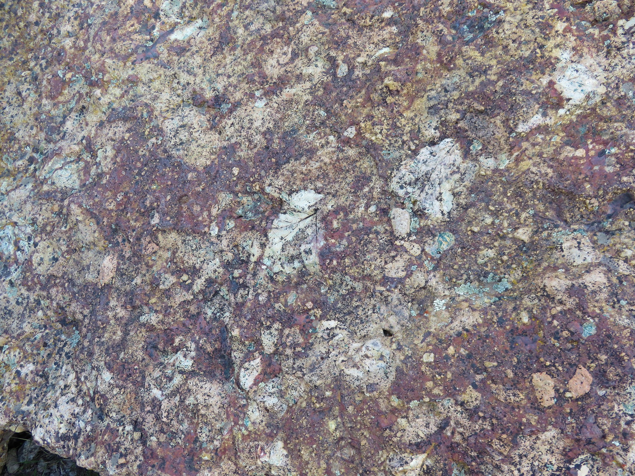
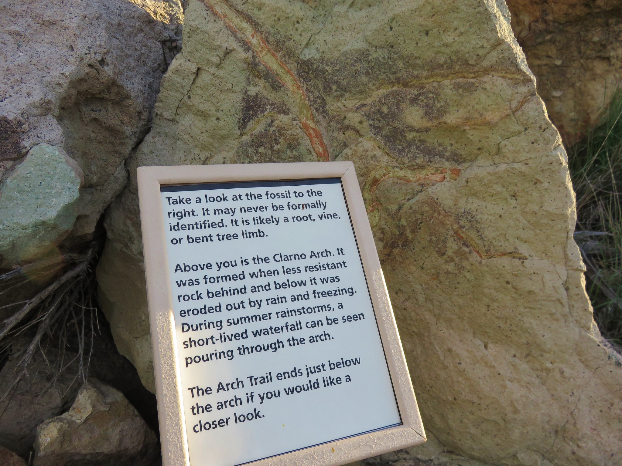
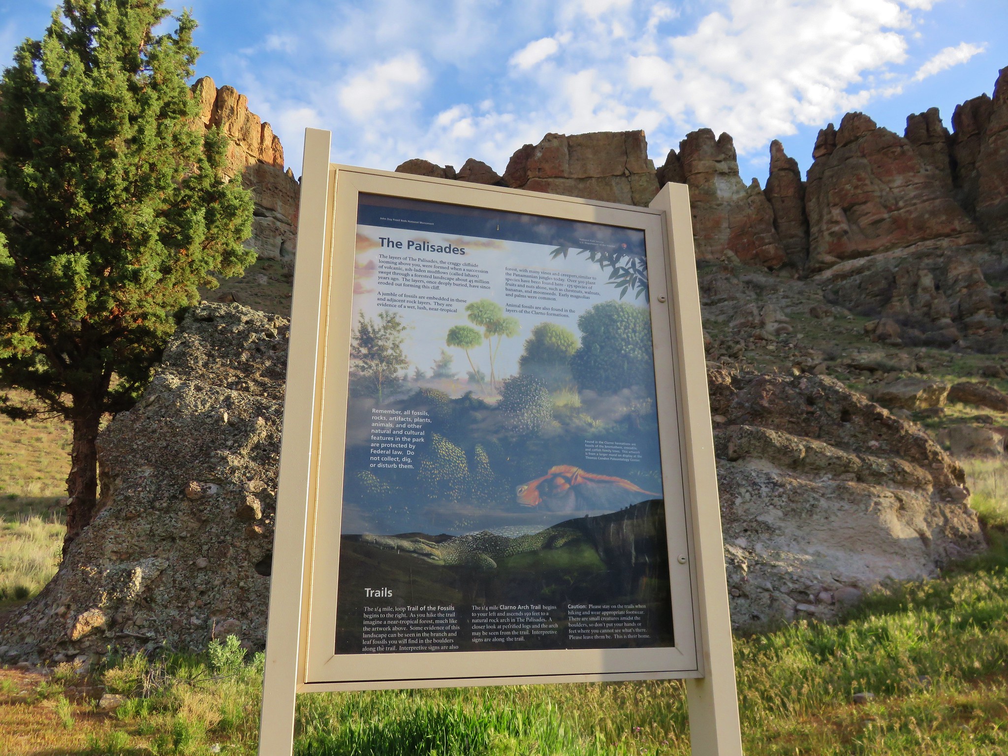
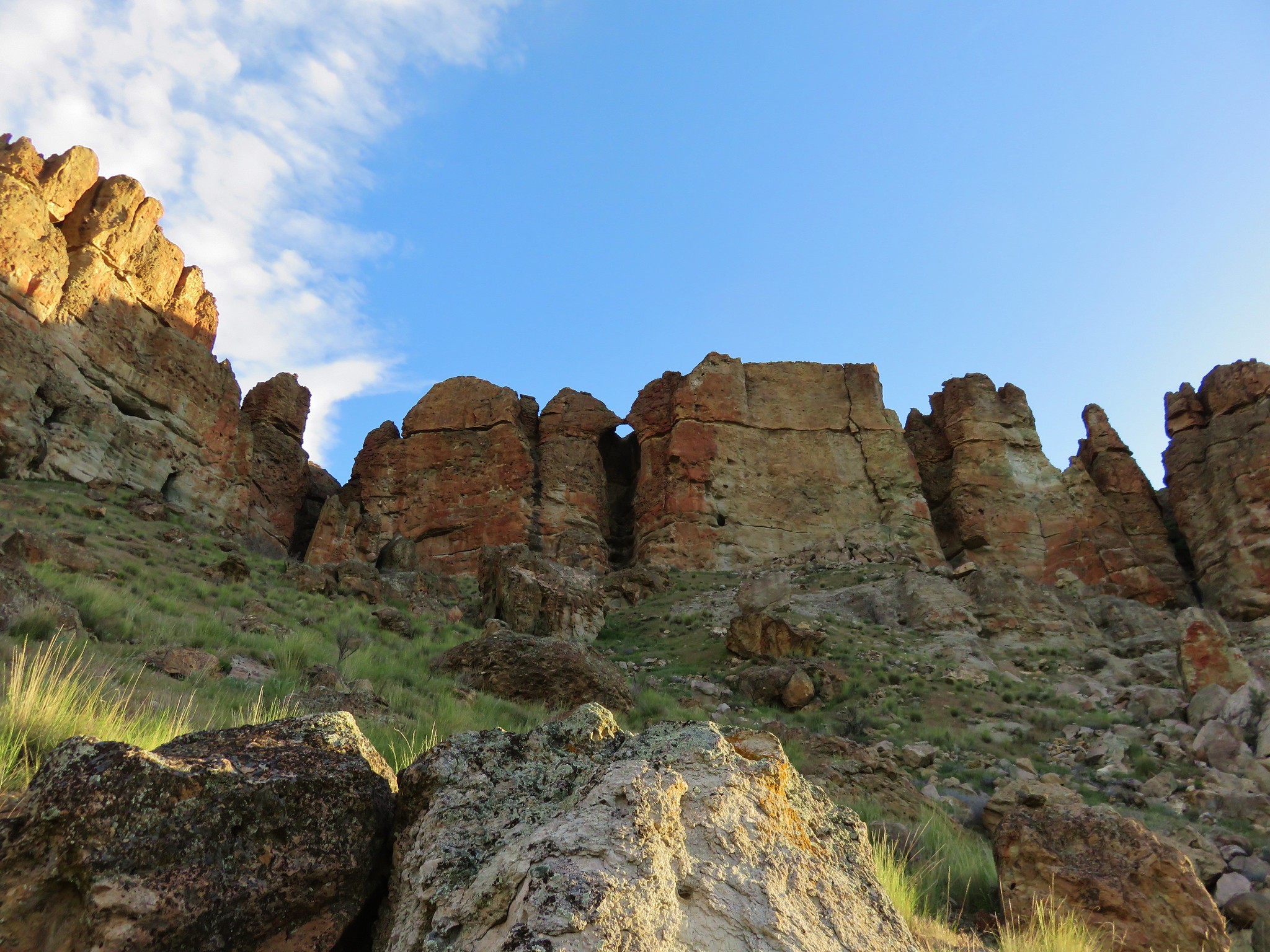
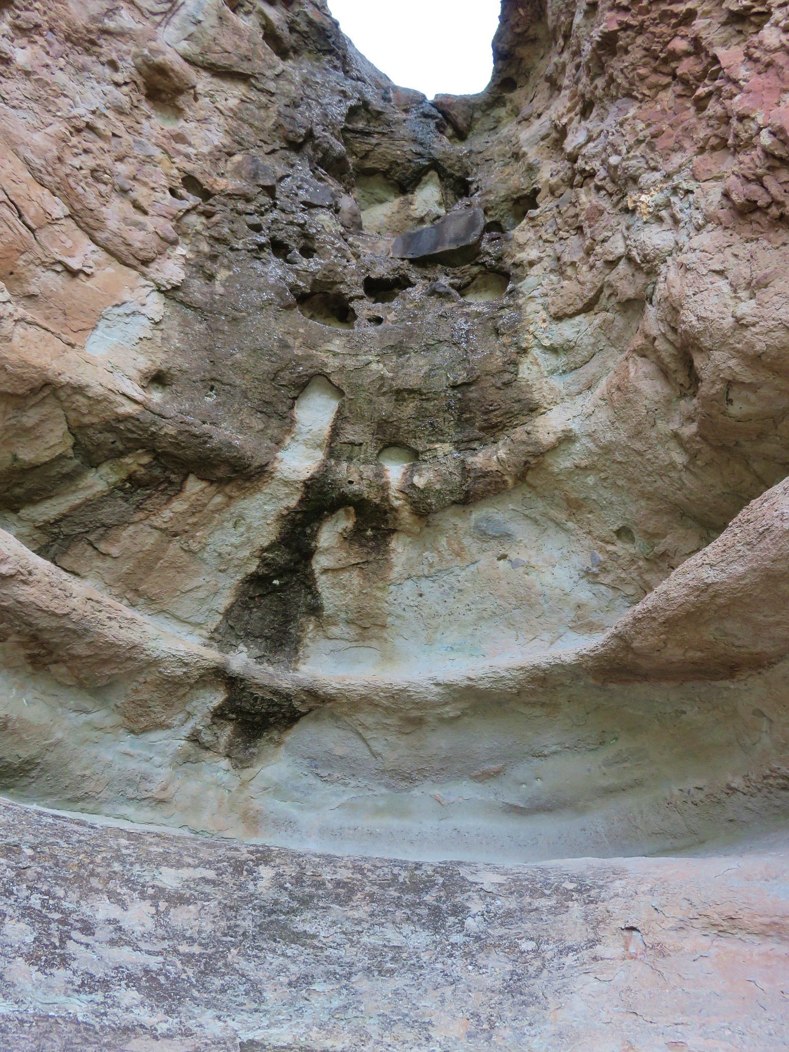
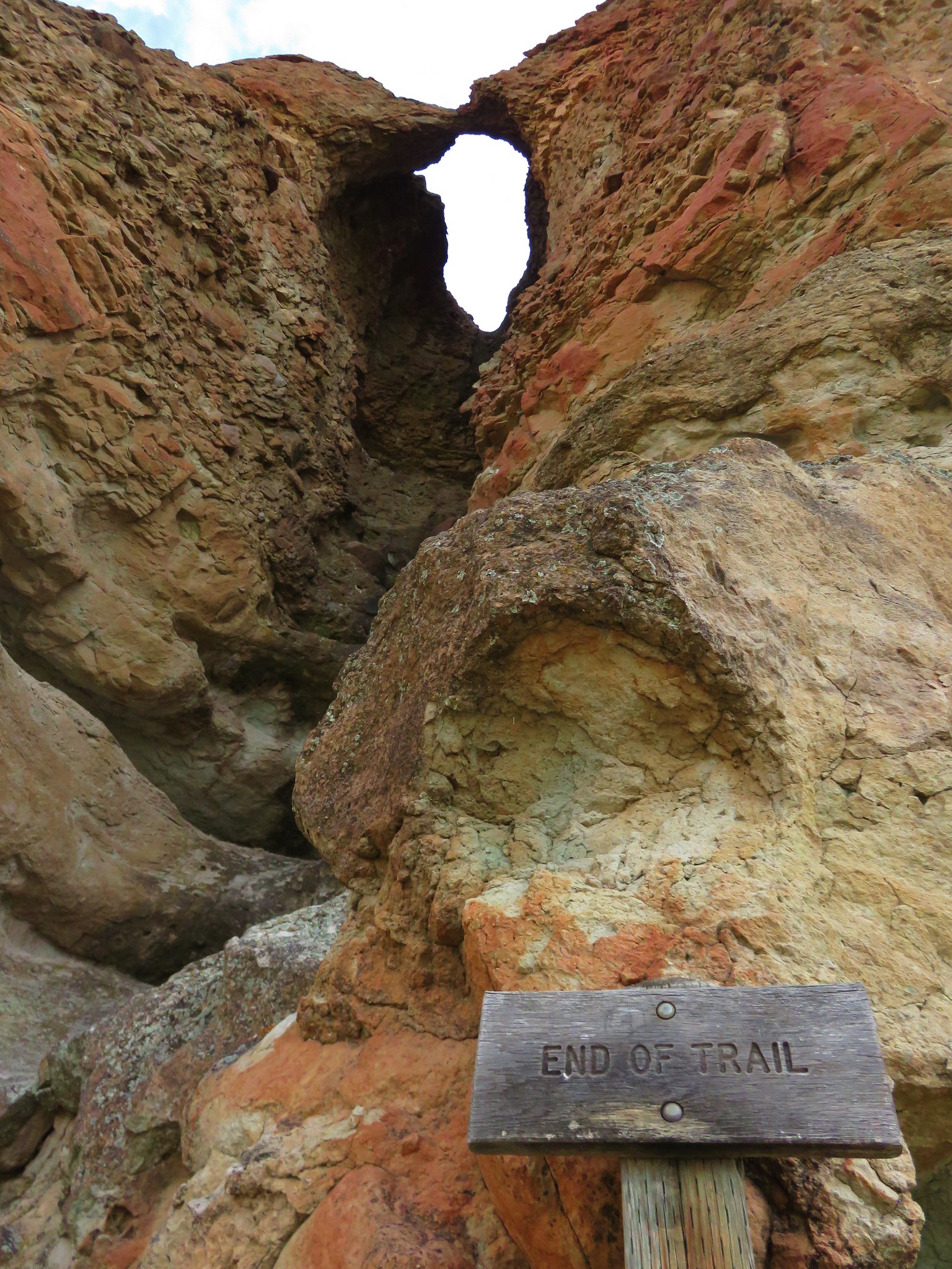
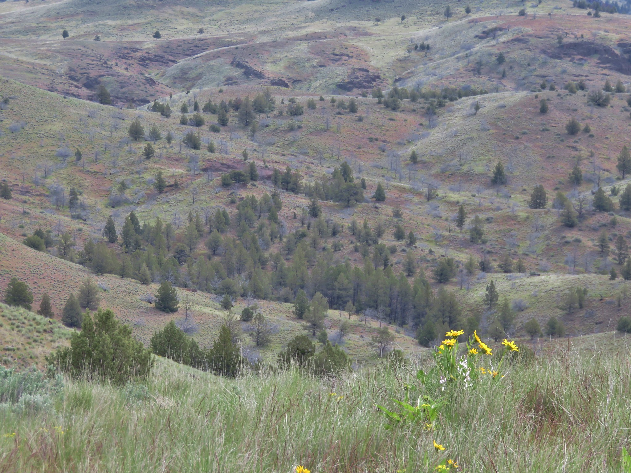
On 4/22 we headed for the Clarno area for a pair of hikes. We started at the Clarno Unit Picnic area and did all three short trails there.
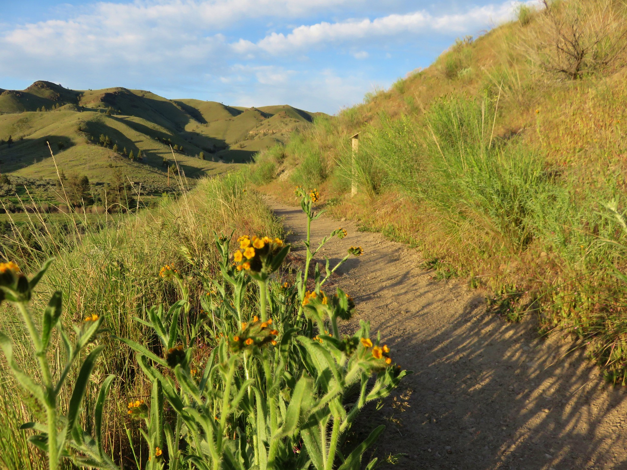
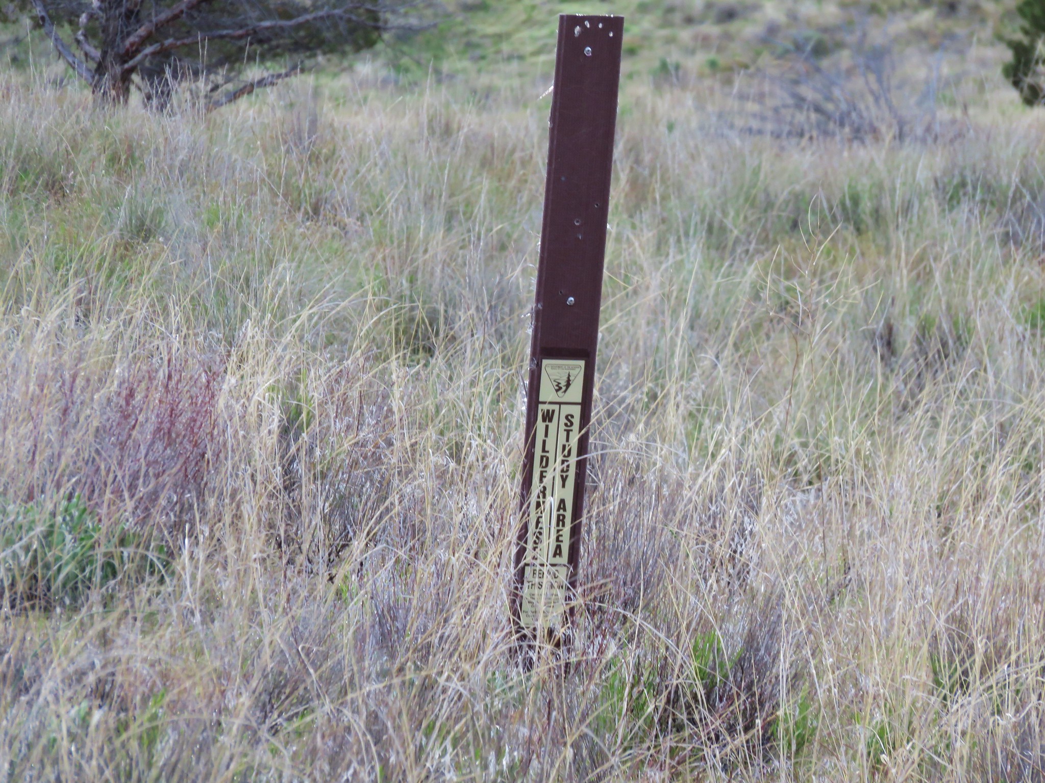
All three trails only added up to 1.4 miles so when we finished we headed over to the Spring Basin Wilderness and basically followed the route described in the Third Edition of William L. Sullivan's "100 Hikes/Travel Guide Eastern Oregon" (Hike #18).
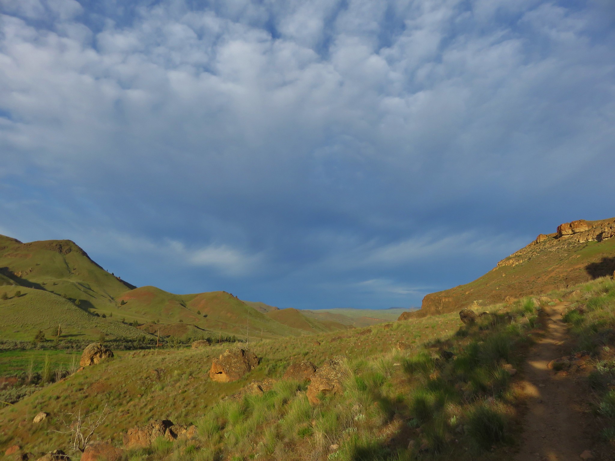
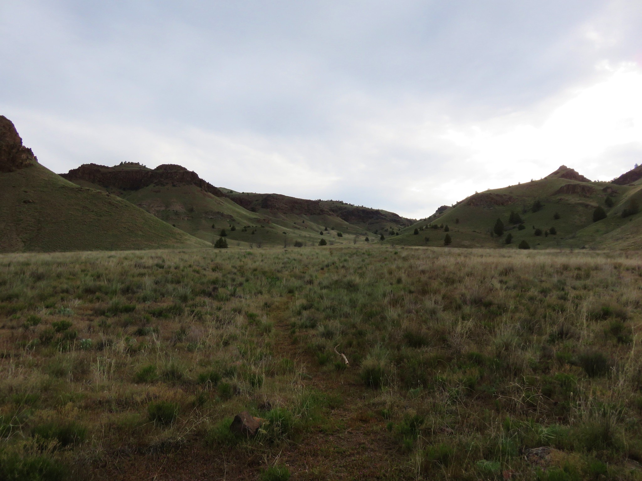
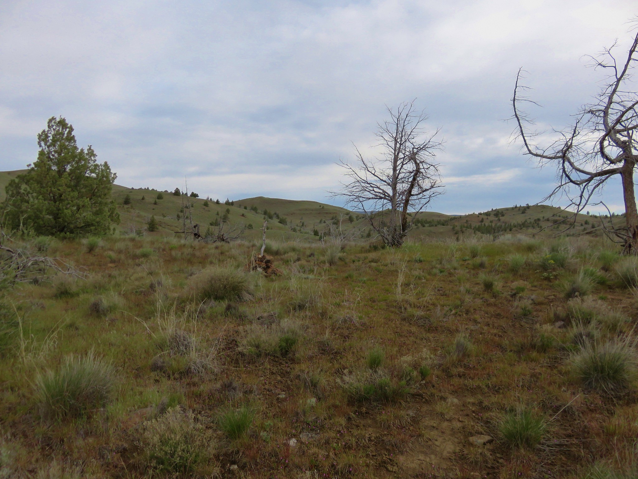
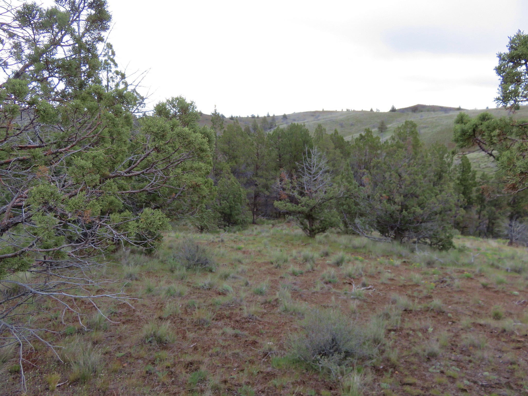
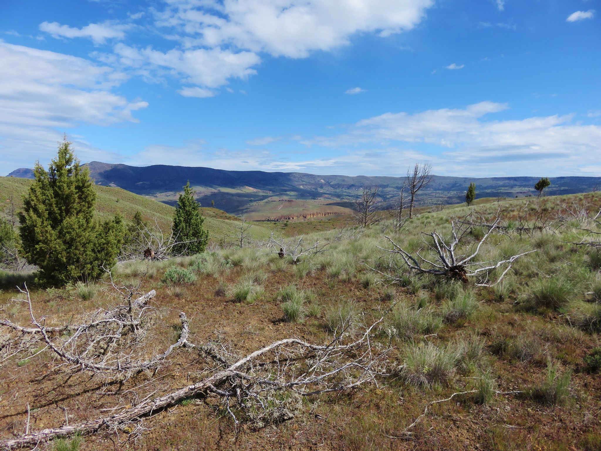
A faint but clear path led into the wilderness toward a draw on the horizon.
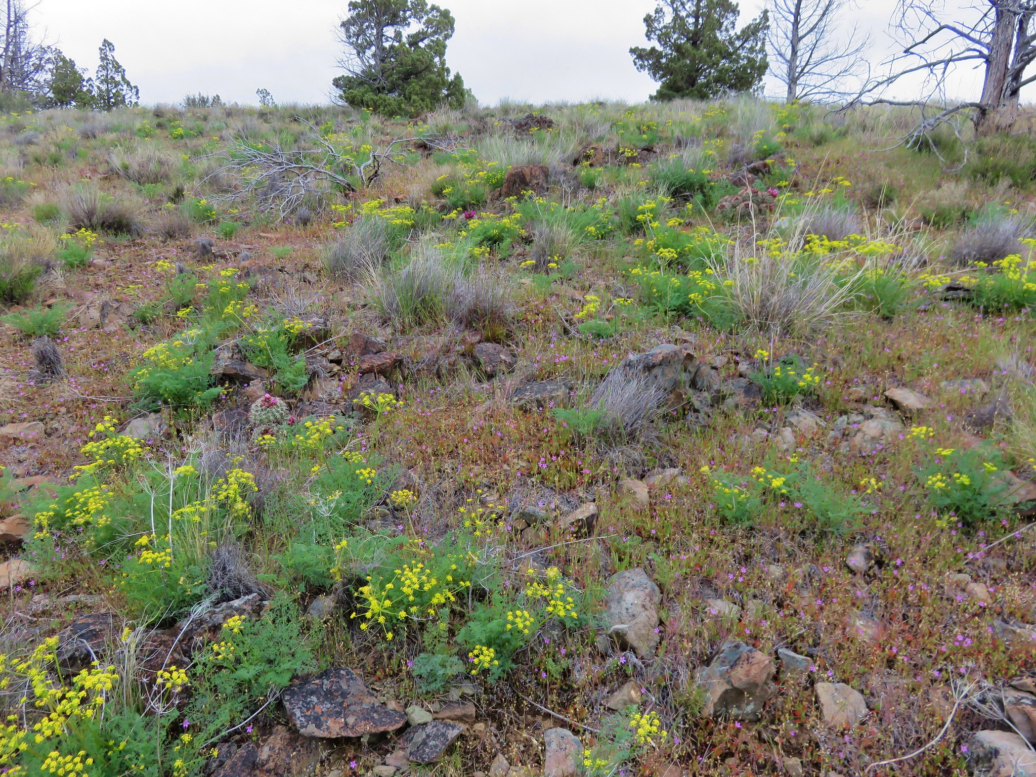
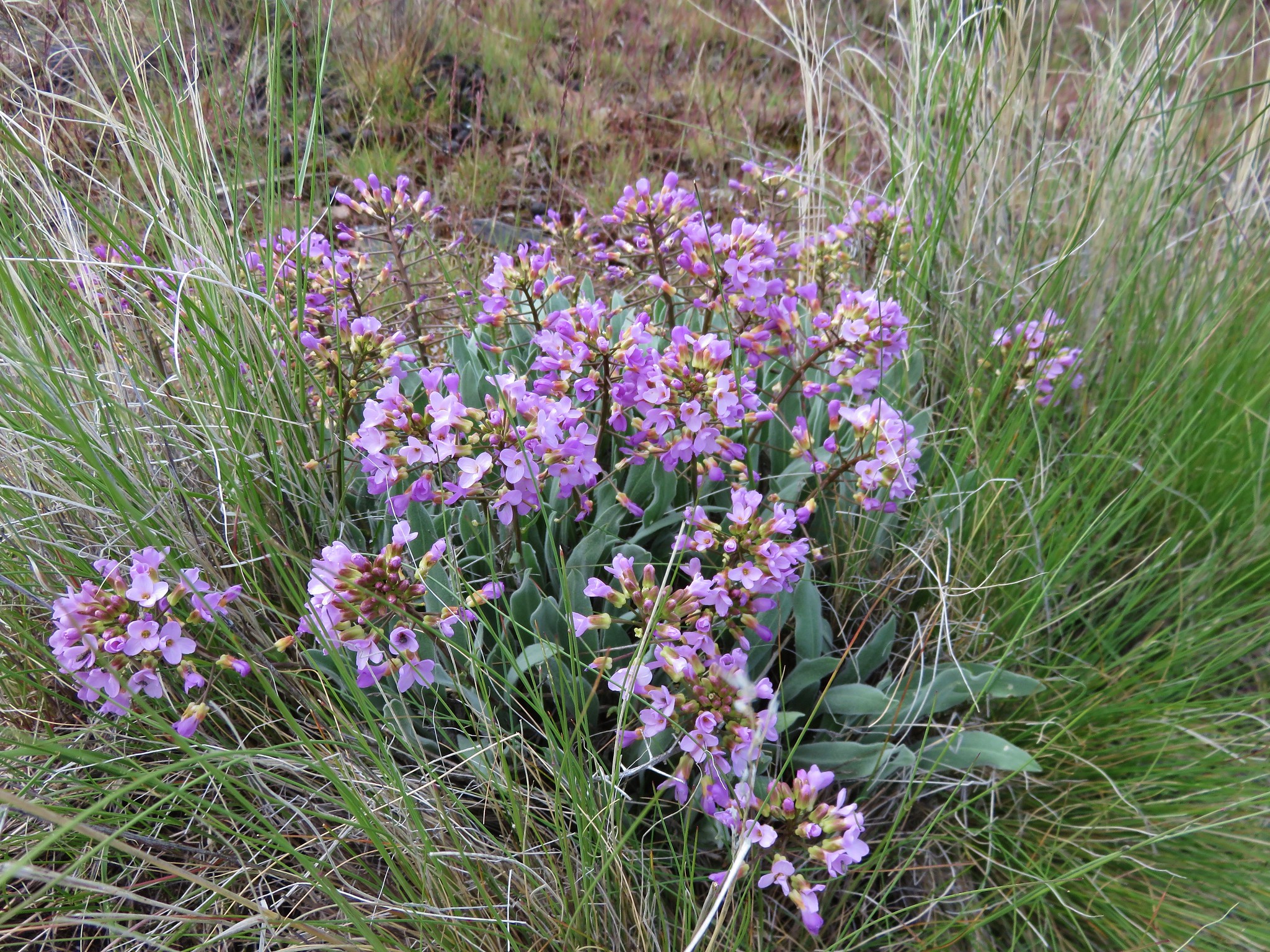
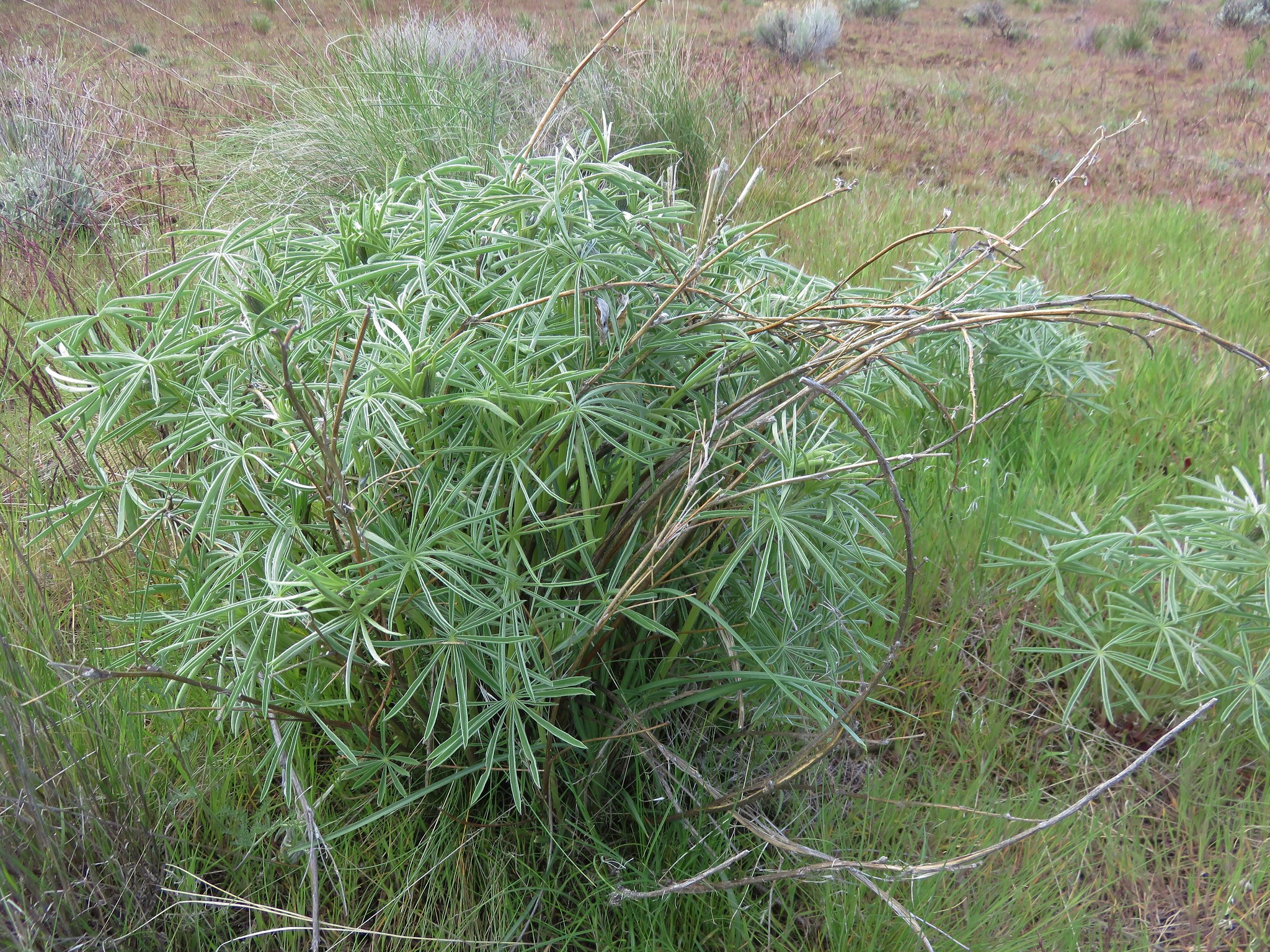
The path led us up into the draw passing a number of different types of wildflowers.
Anyone know what these are? There were lots of them around 1500' elevation but none were blooming, this one was the closest.
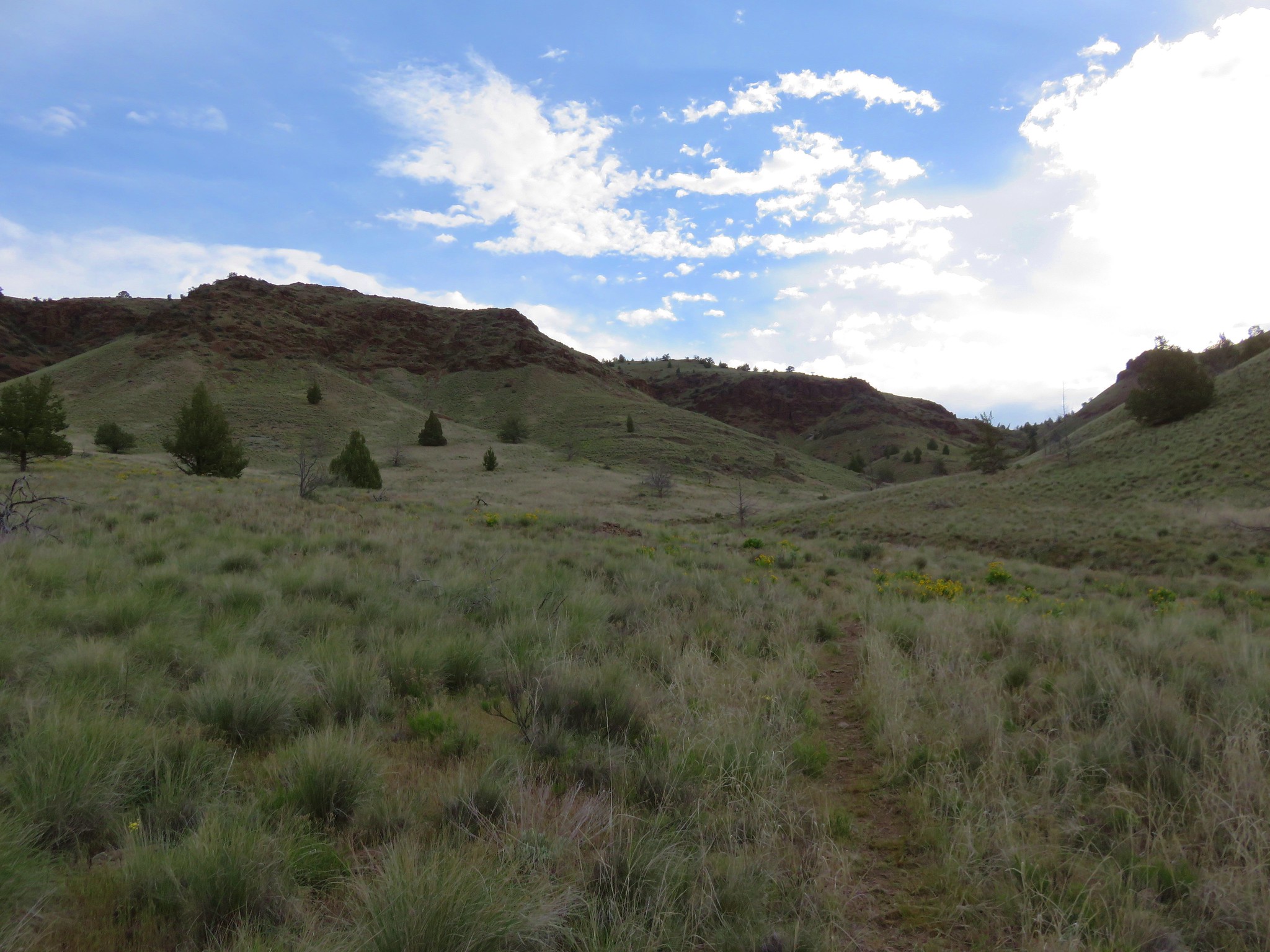
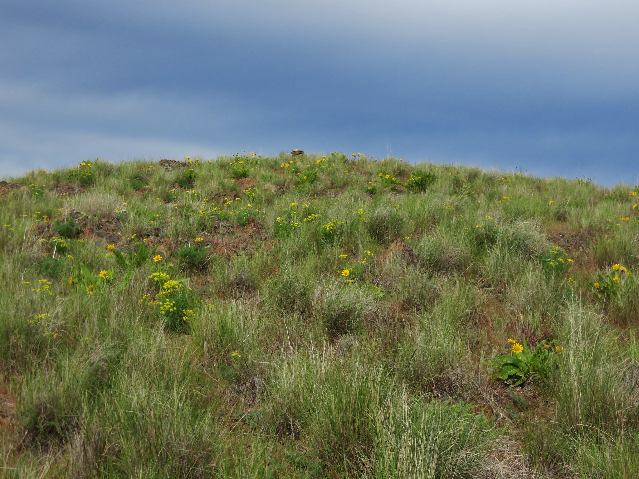
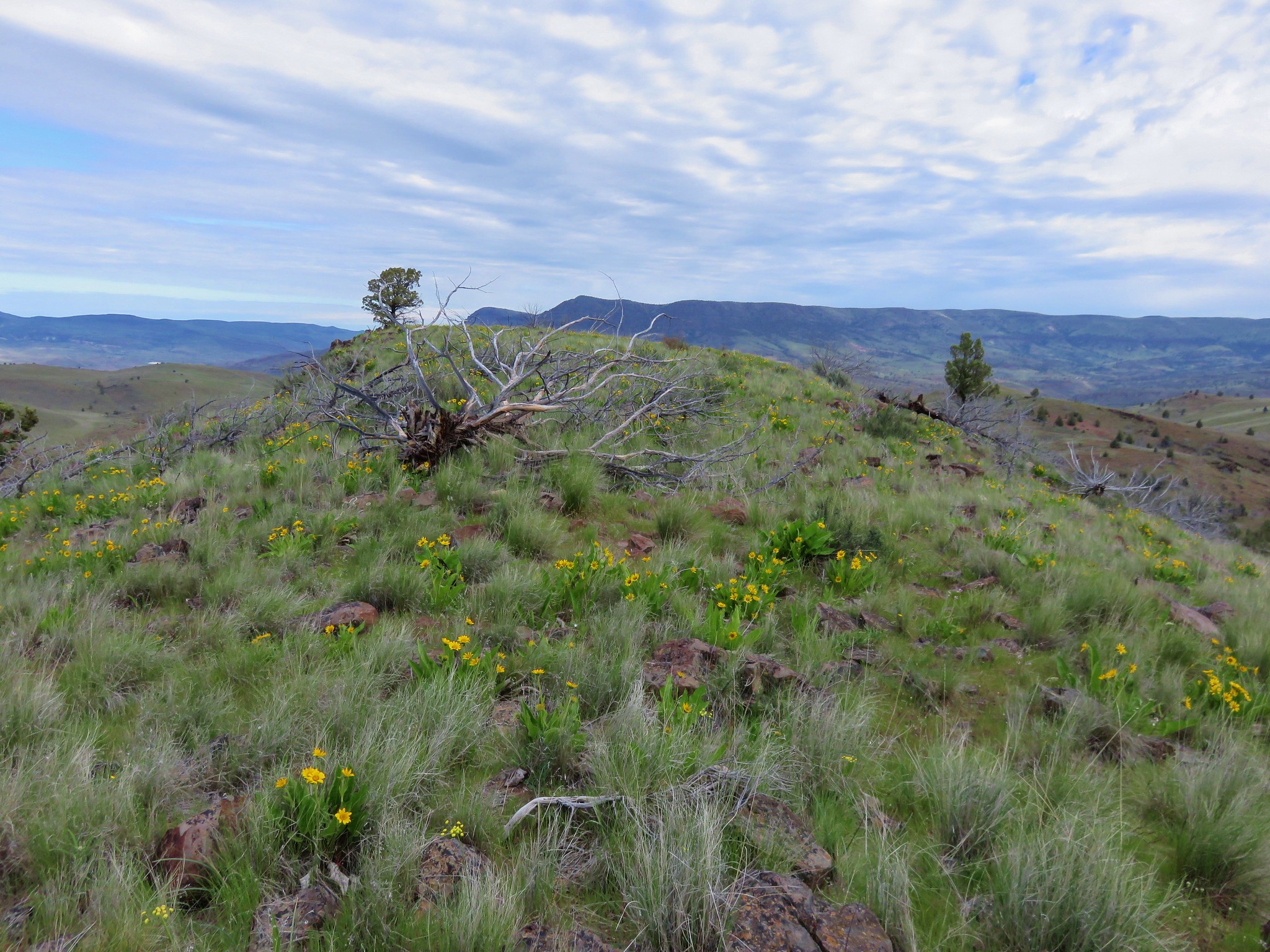
After 1.3 miles the path reached a ridge top junction with an old jeep track marked by a rock cairn.
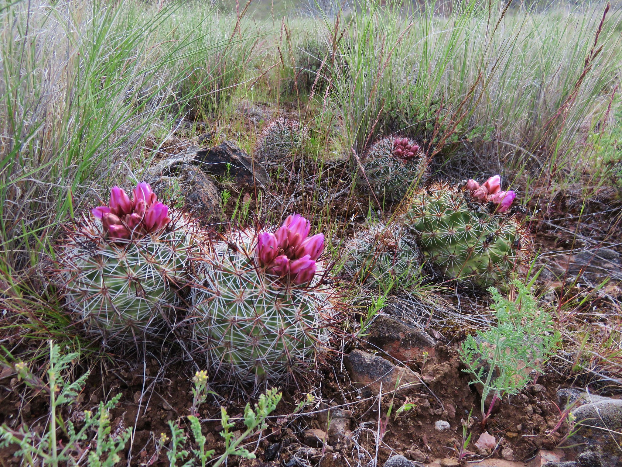
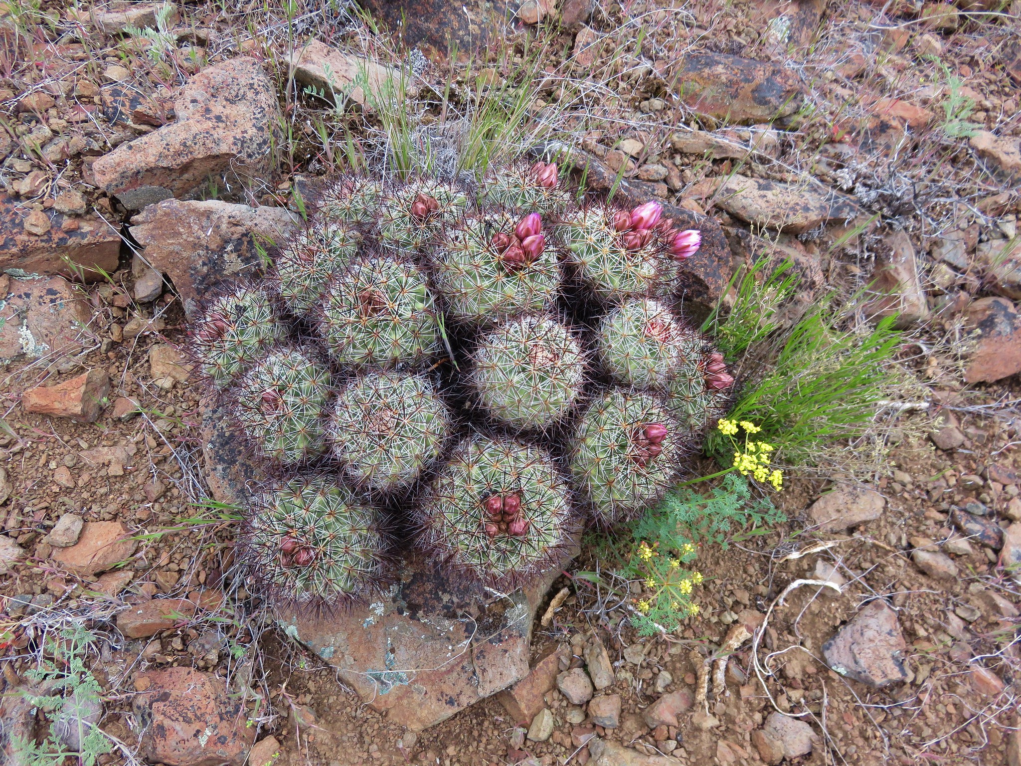
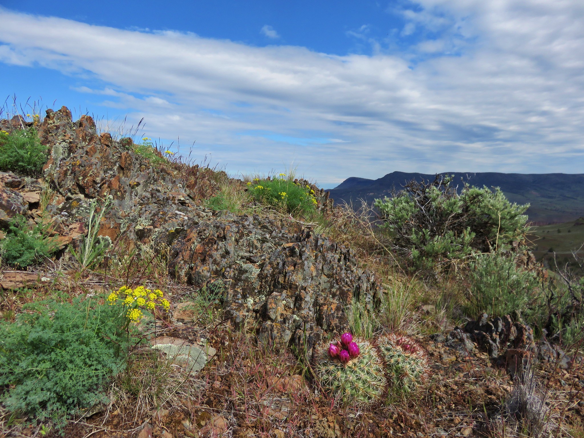
Near the junction we spotted the first of many hedgehog cactus.
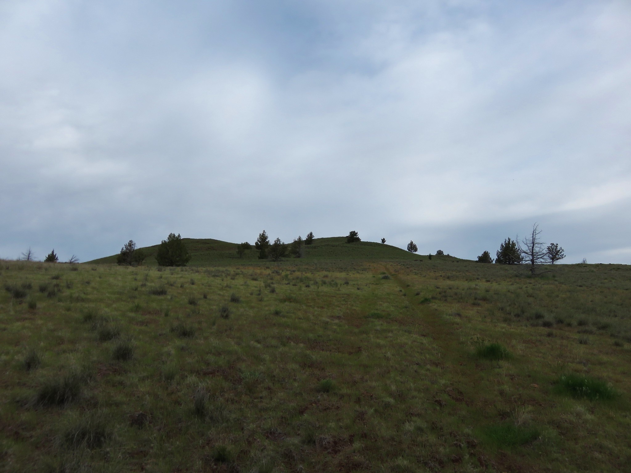
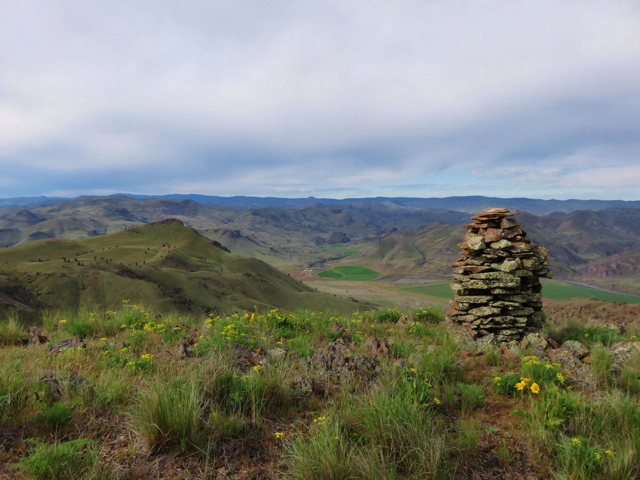
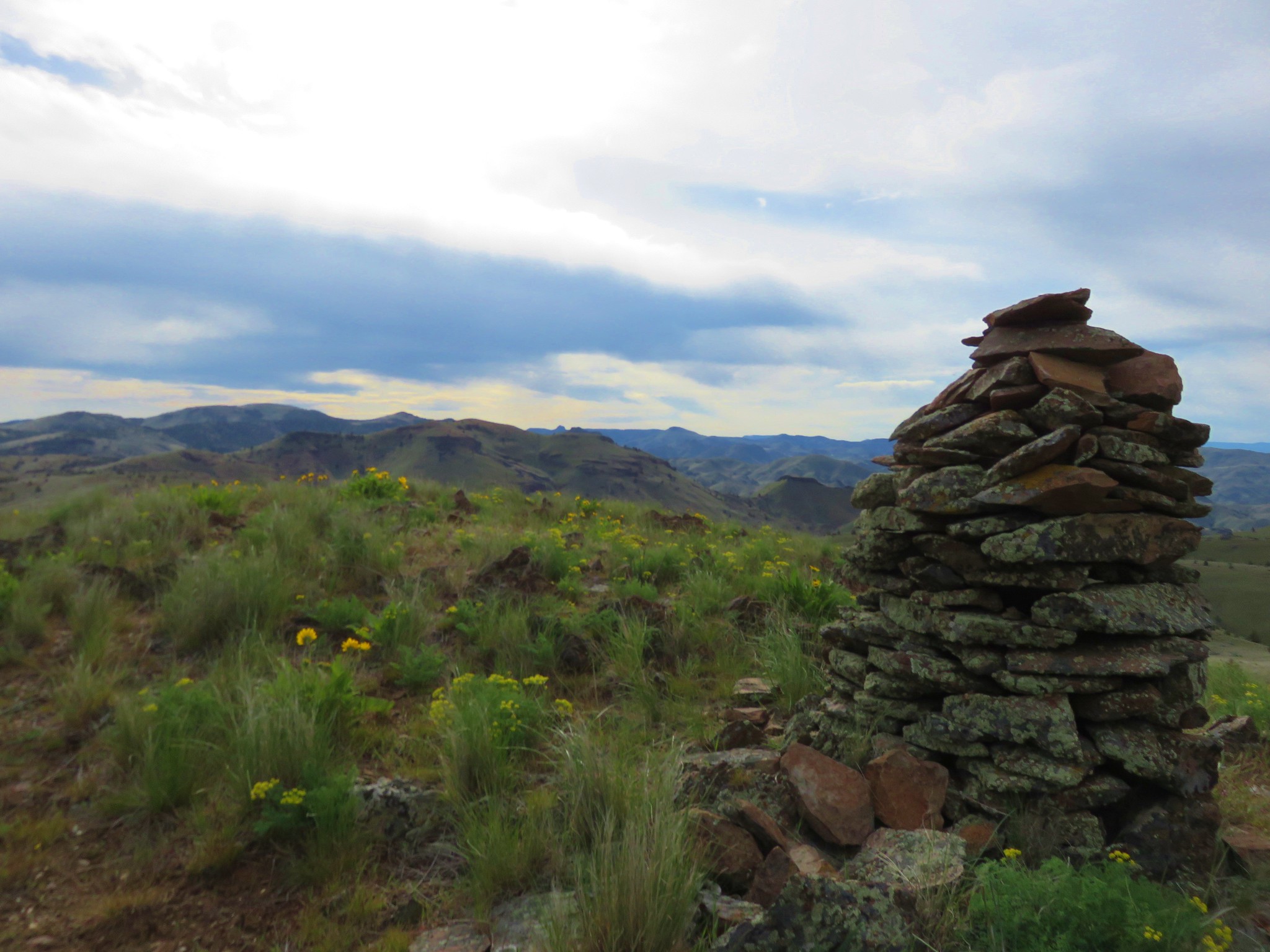
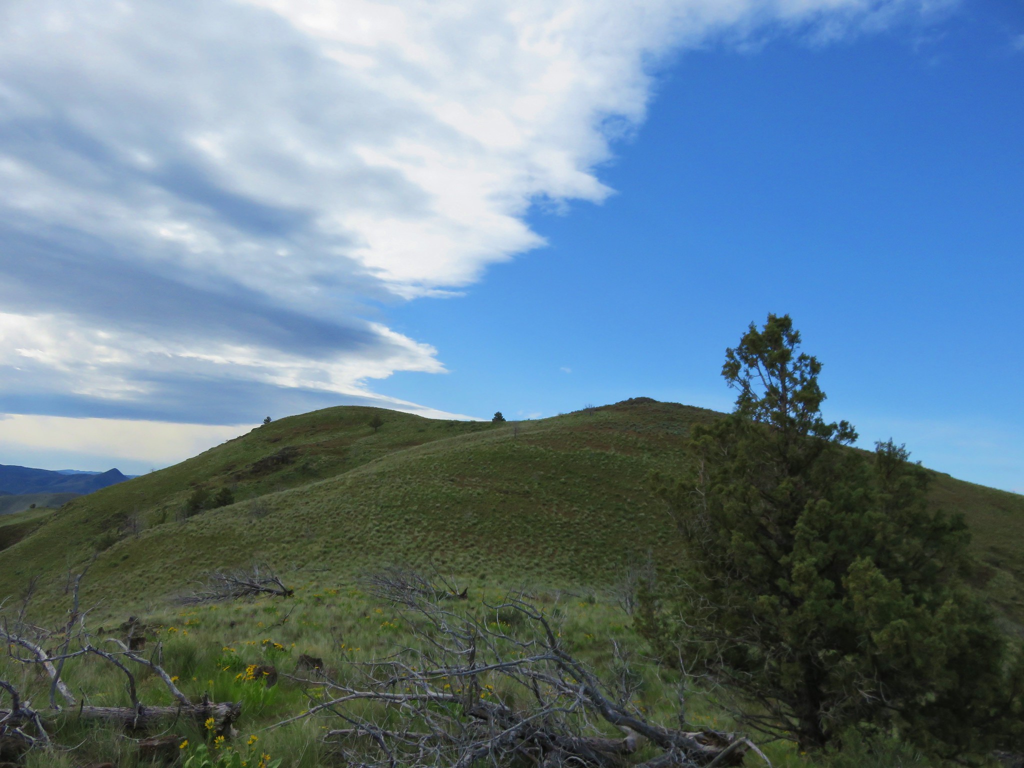
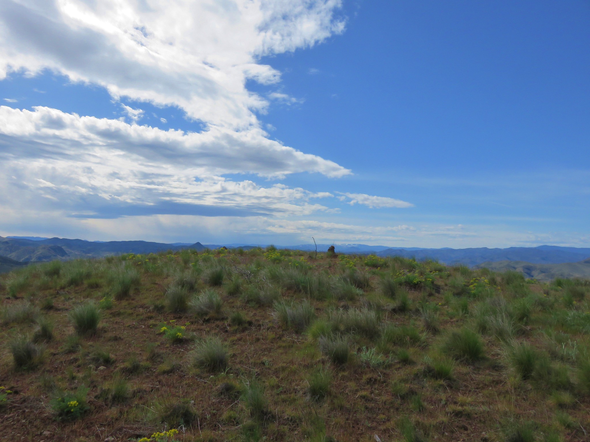
We followed a jeep track around the side of the green knoll described by Sullivan then turned uphill and went cross country to the summit marked by another cairn.
Our goal, Horse Mountain, was slightly southeast of the knoll.
To reach the summit of that mountain without having to lose and regain too much elevation Sullivan's route called for a .9 mile cross country route due east through a juniper grove then up a draw to find the jeep track once again on the ridge line.
We followed the jeep track north a short distance to a low point then descended into a draw and headed for the grove. The initial descent was a little steeper than it had appeared from the knoll but it was not a problem and we made it to the junipers without any difficulty.
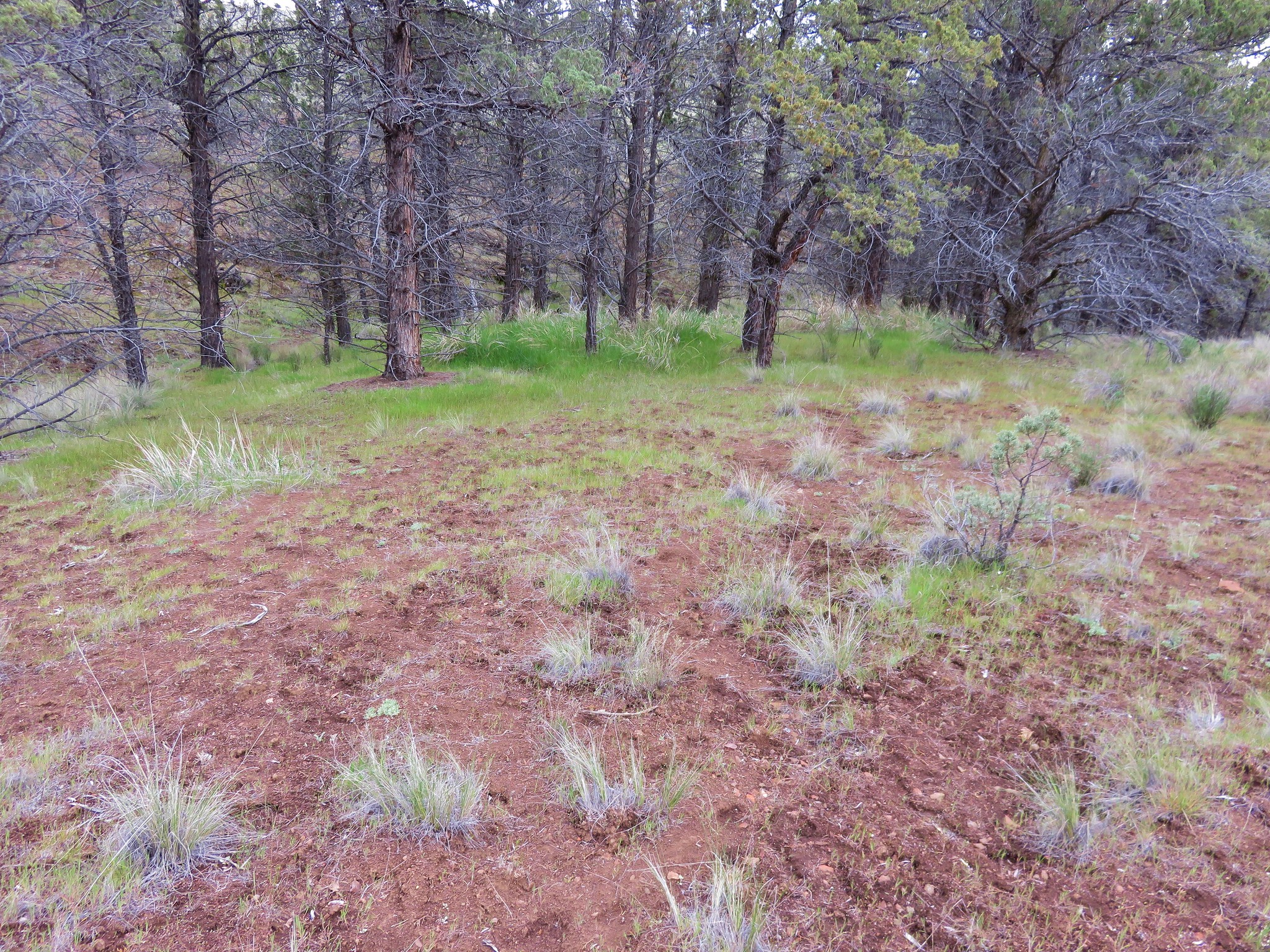
From the grove we climbed up the draw we'd seen to the jeep track and turned right toward Horse Mountain.
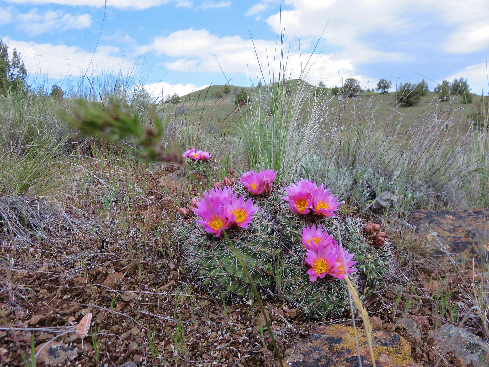
On the ridge we found more hedgehog cactus amid other many other wildflowers.
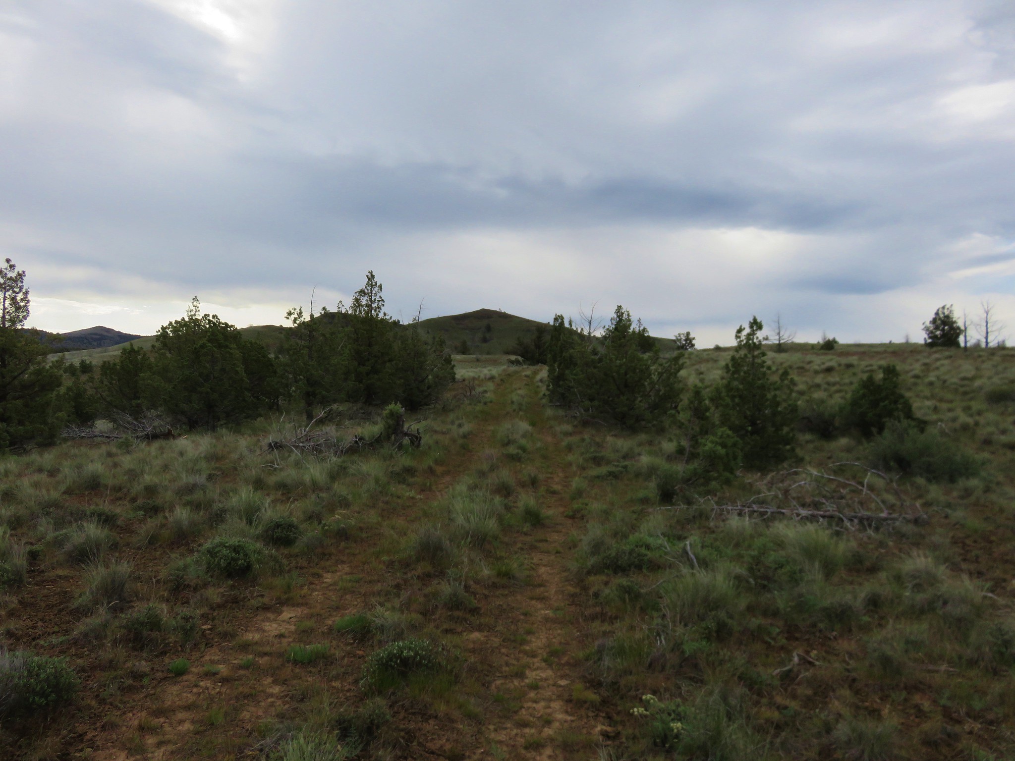
We stuck to the jeep track for approximately 3/4 of a mile then veered off toward Horse Mountain when the track turned left amid more junipers.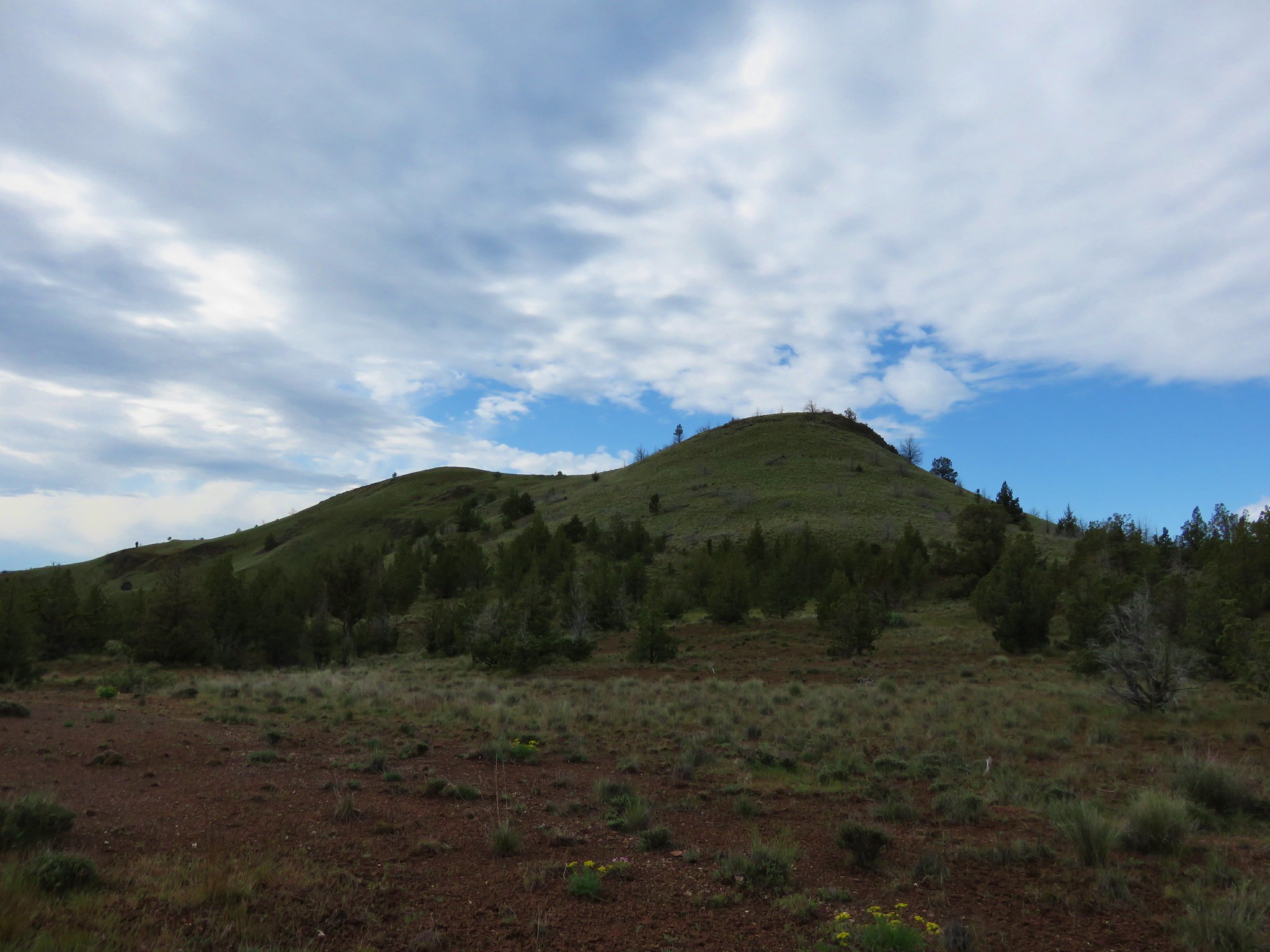
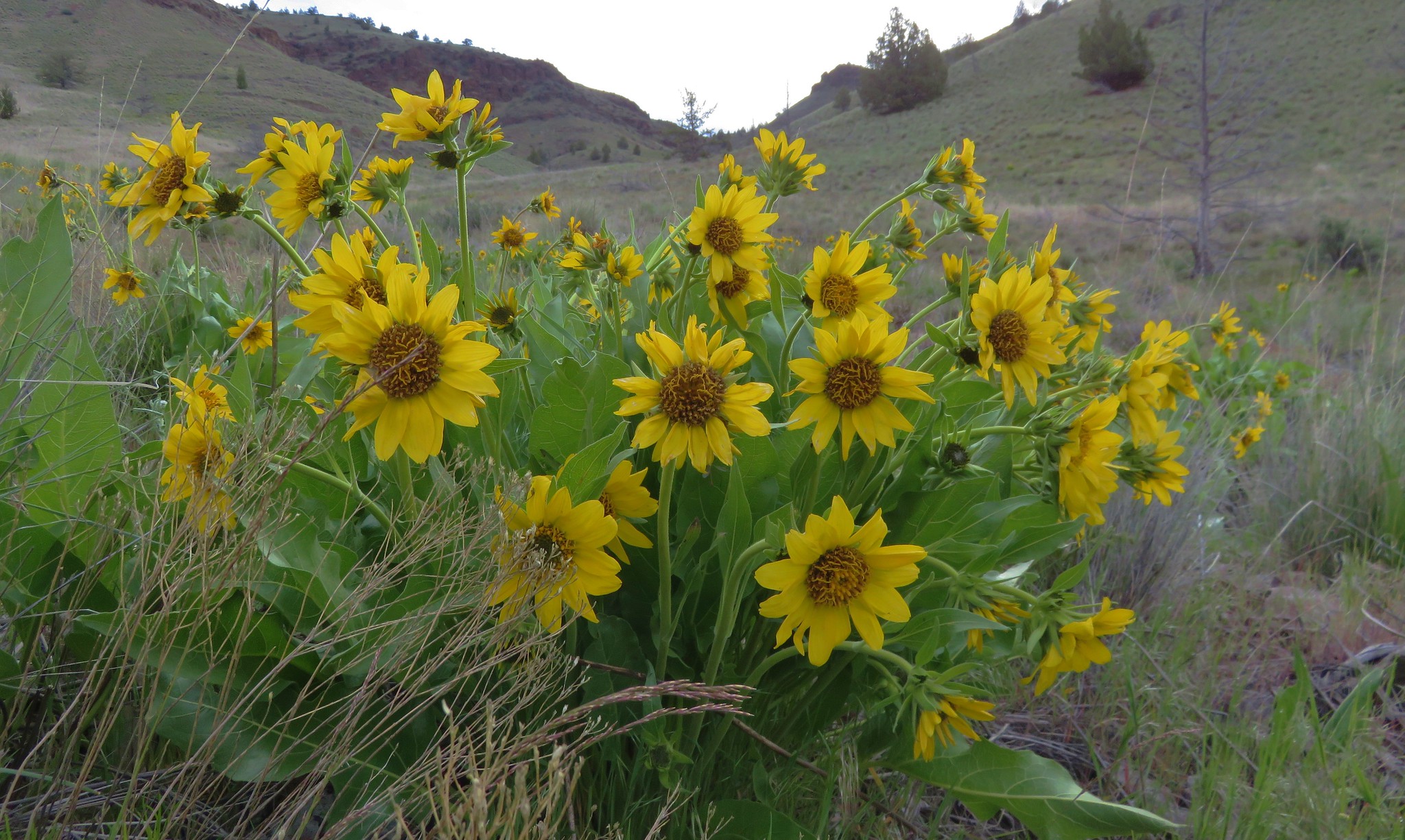
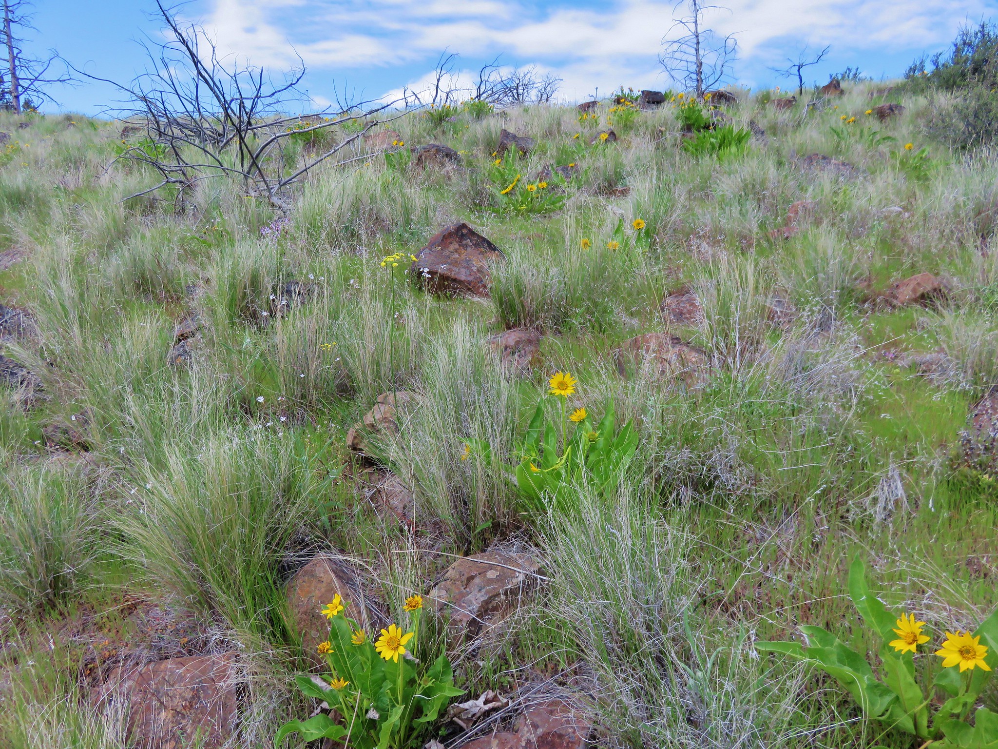
Our initial plan was to sidehill up to a saddle along Horse Mountain but we found it was actually easier to head directly uphill so we wound up gaining the ridge near it's western end which was dotted with balsamroot.
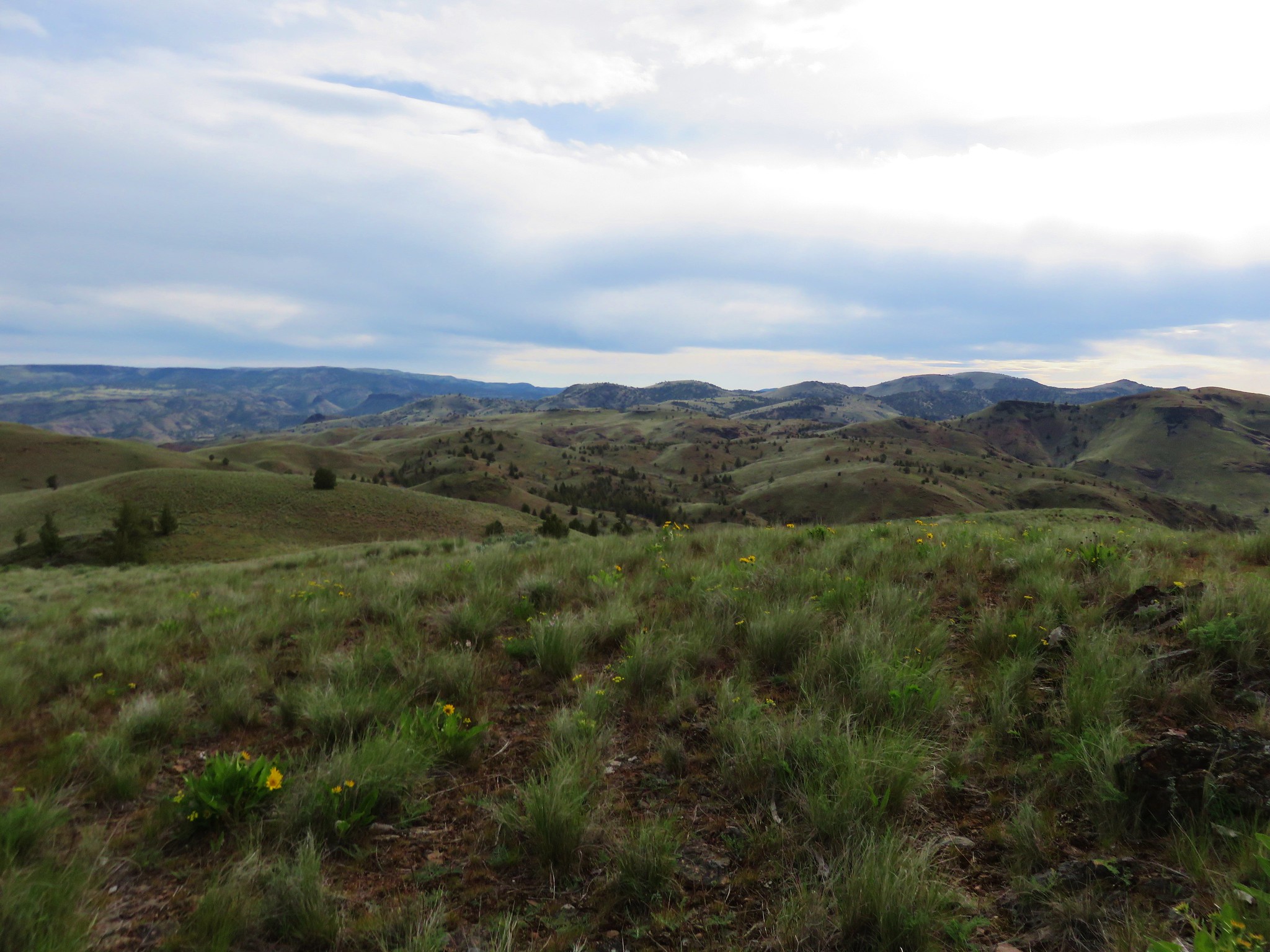
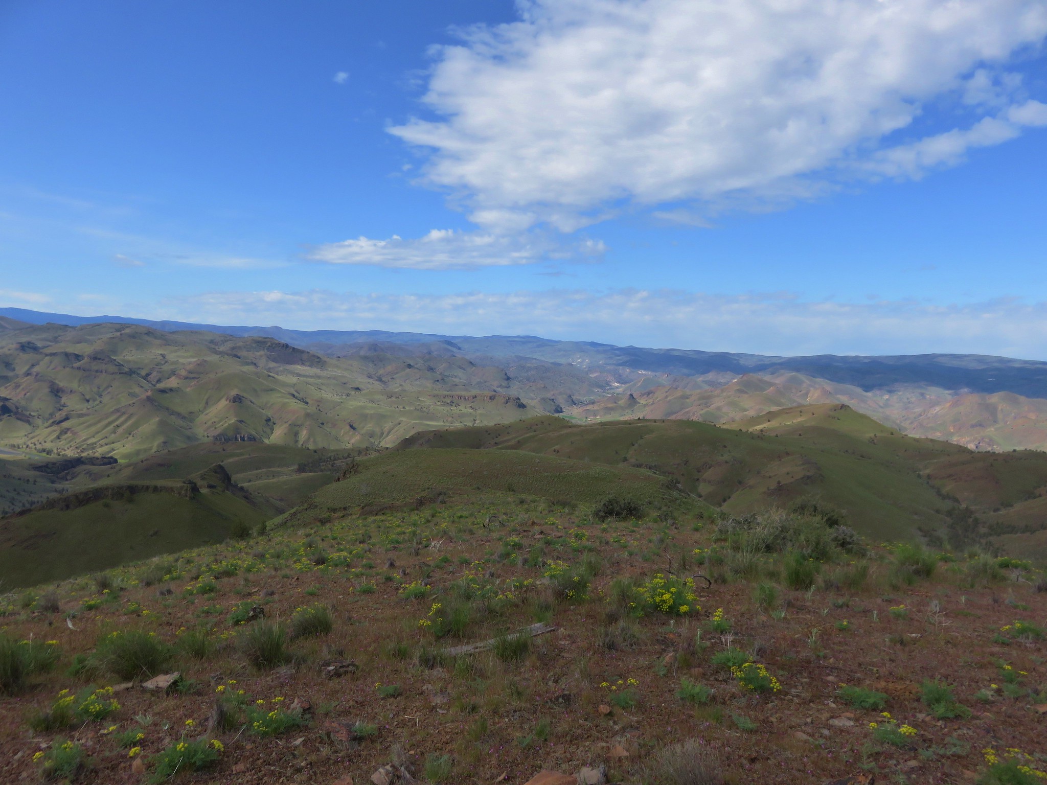
We then followed the ridge up to the summit of Horse Mountain.
A small rock cairn marked the summit of Horse Mountain.
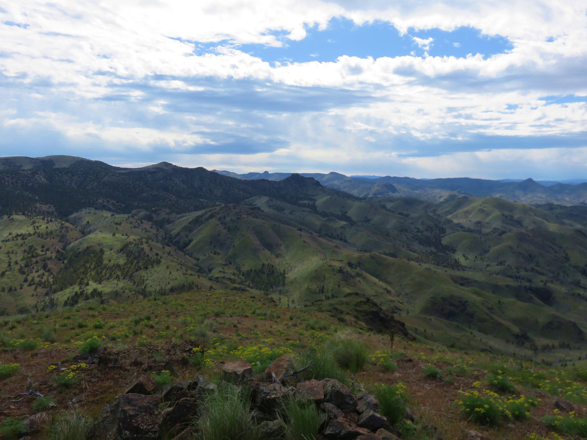
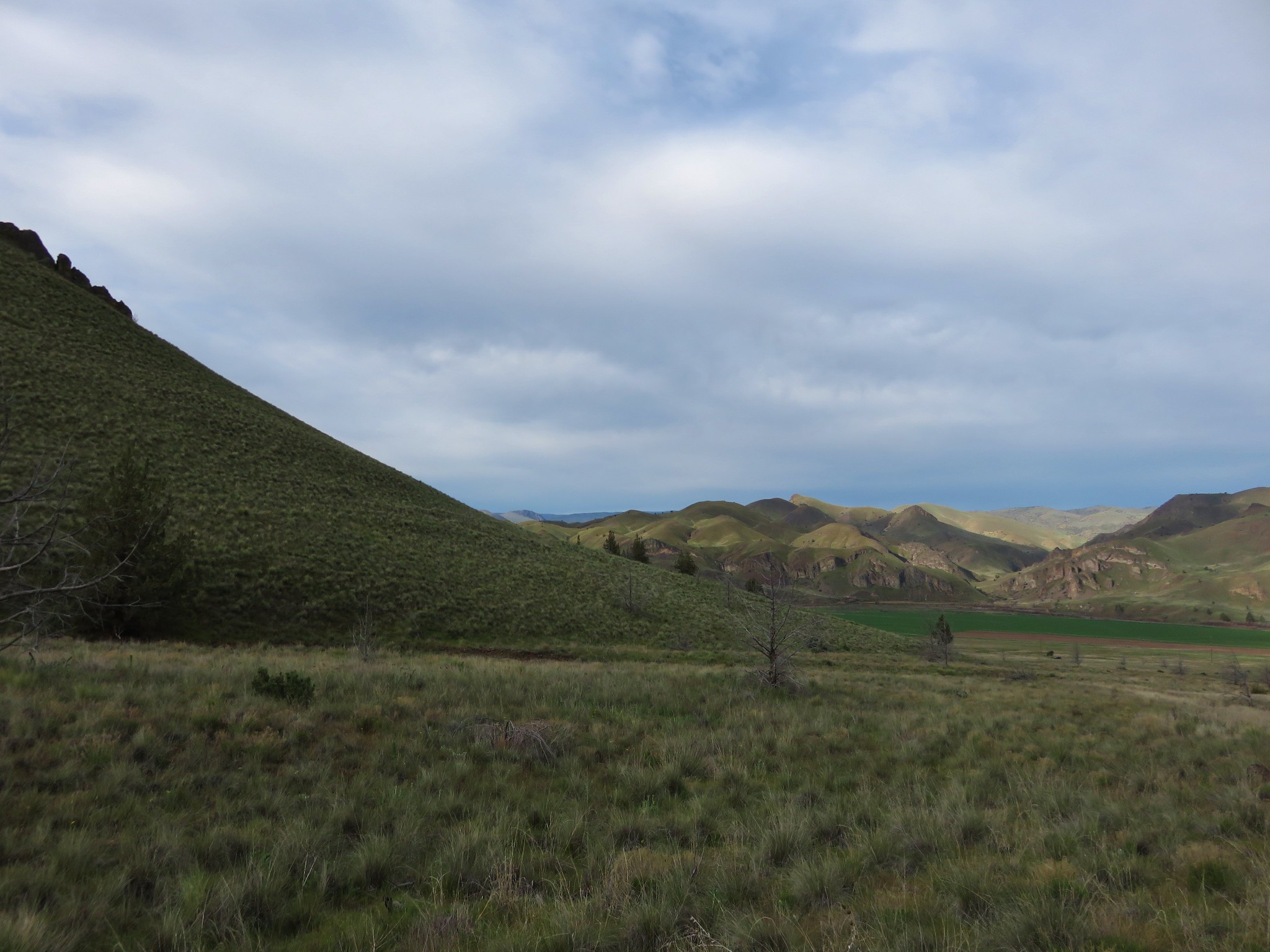
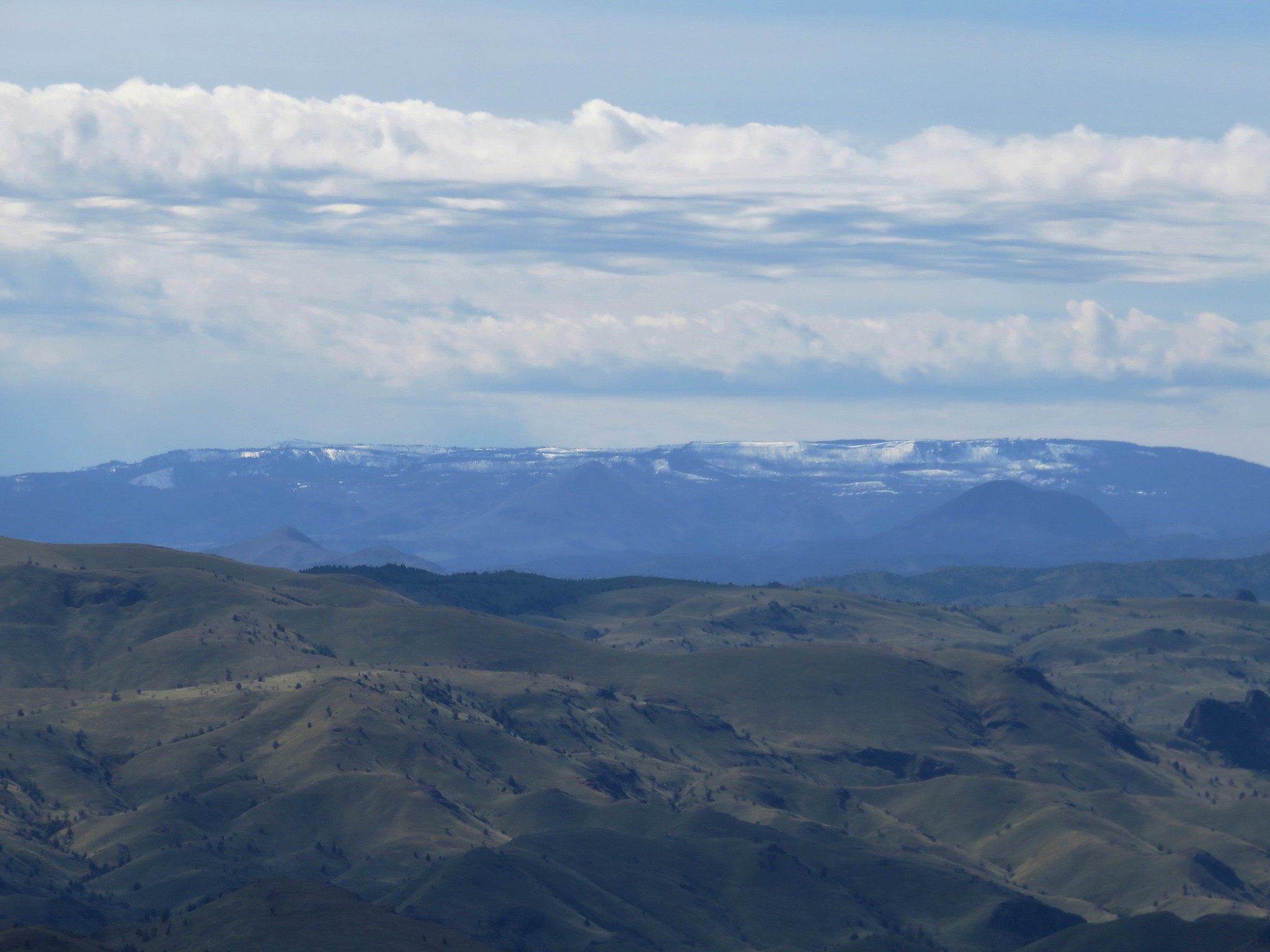
To the far south the snowy Ochoco Mountains lined the horizon.
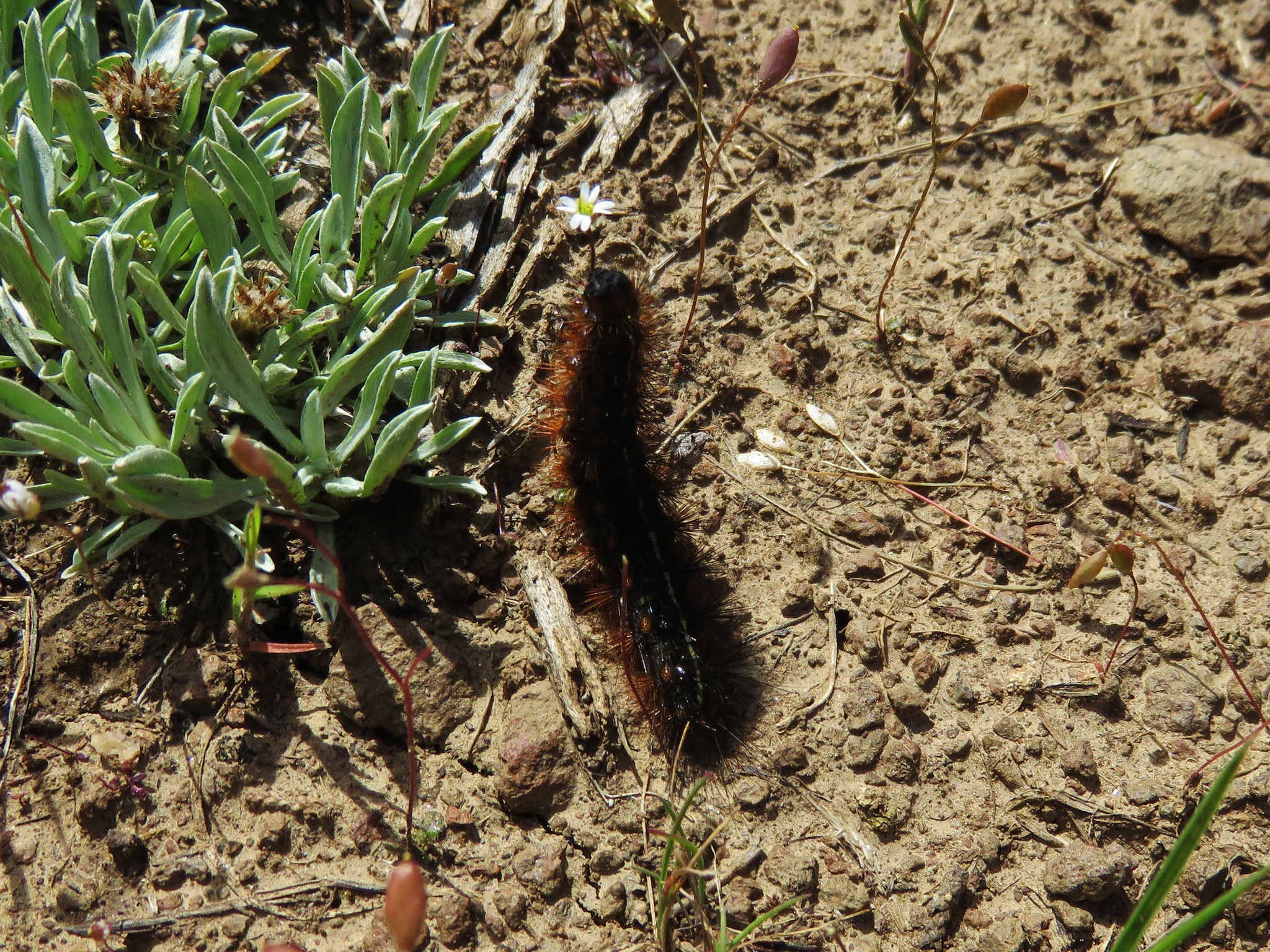
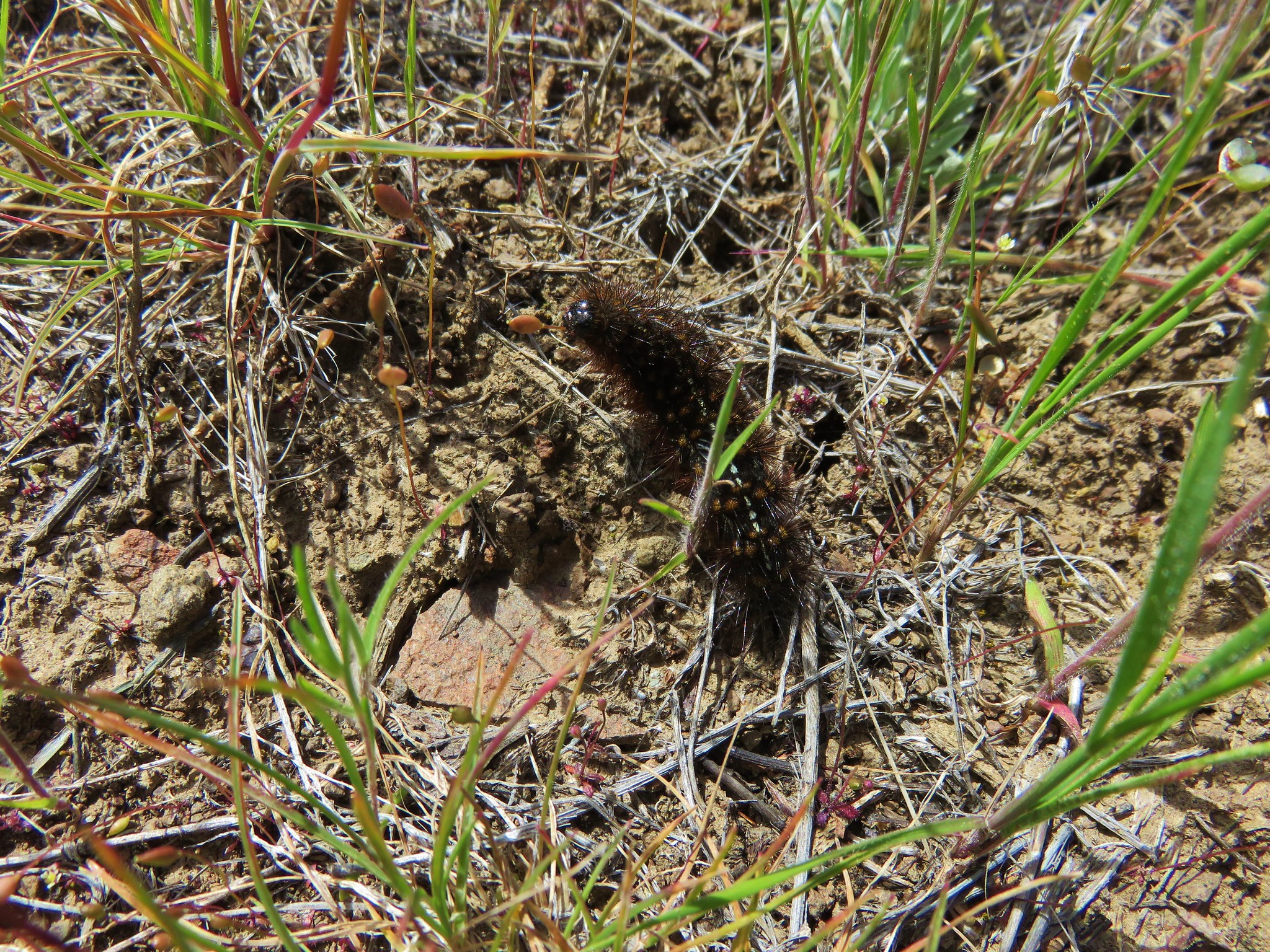
We had seen quite a few caterpillars on the ground all morning but now there seemed to be more and they were moving about.
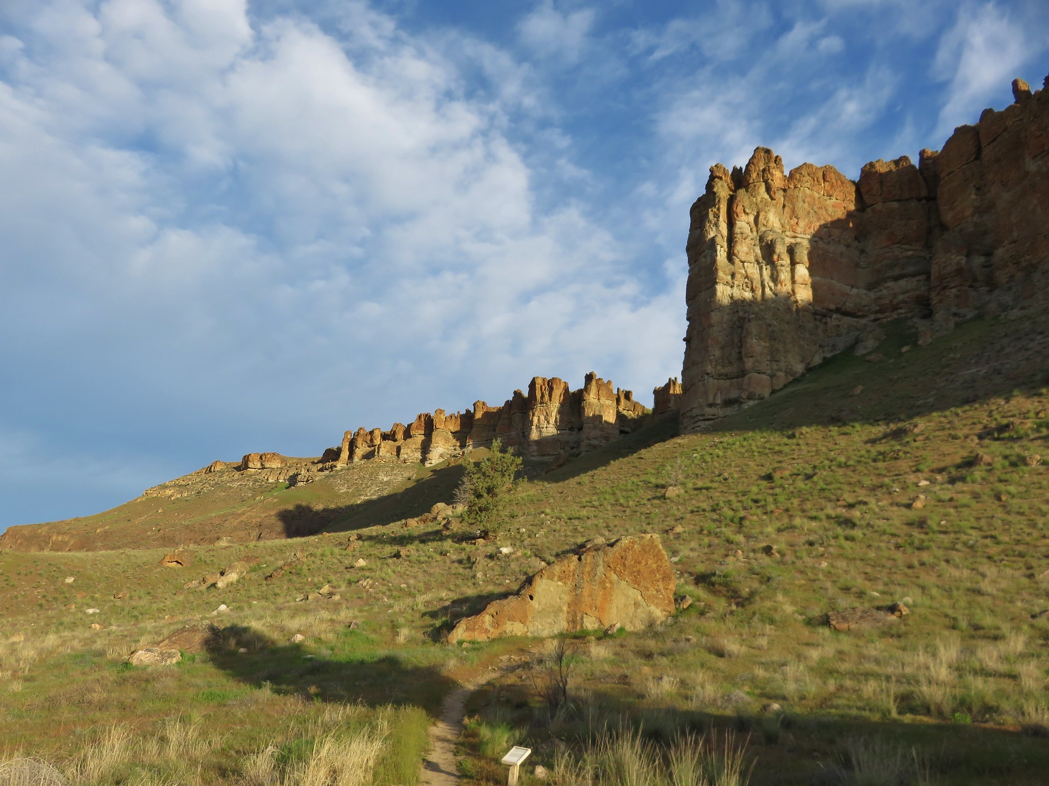
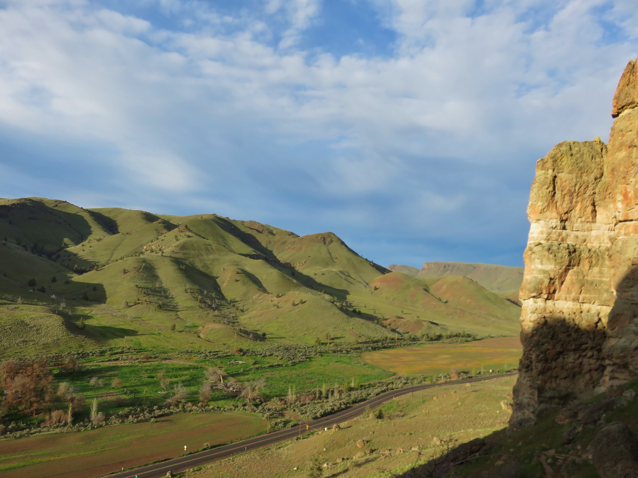
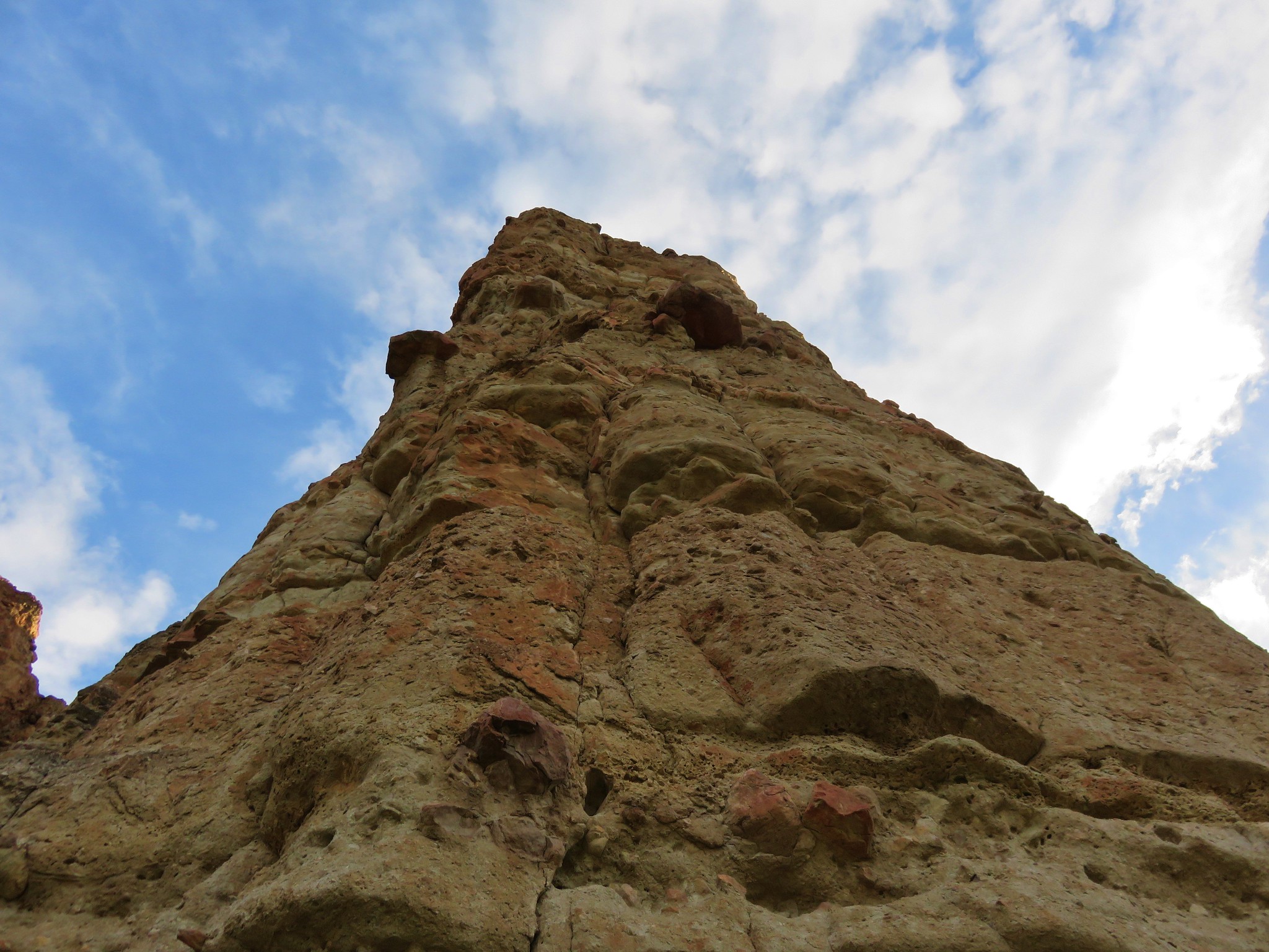
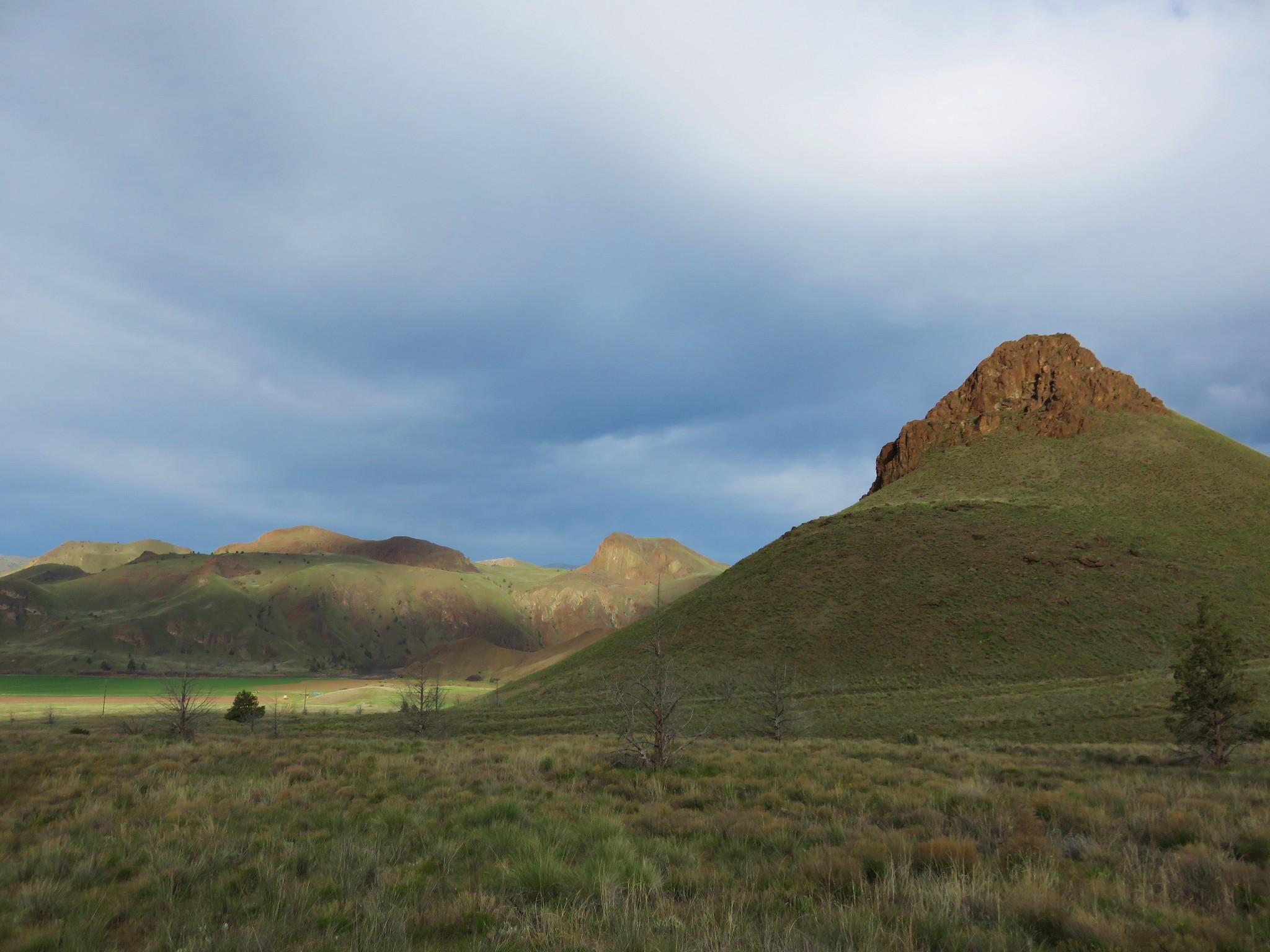
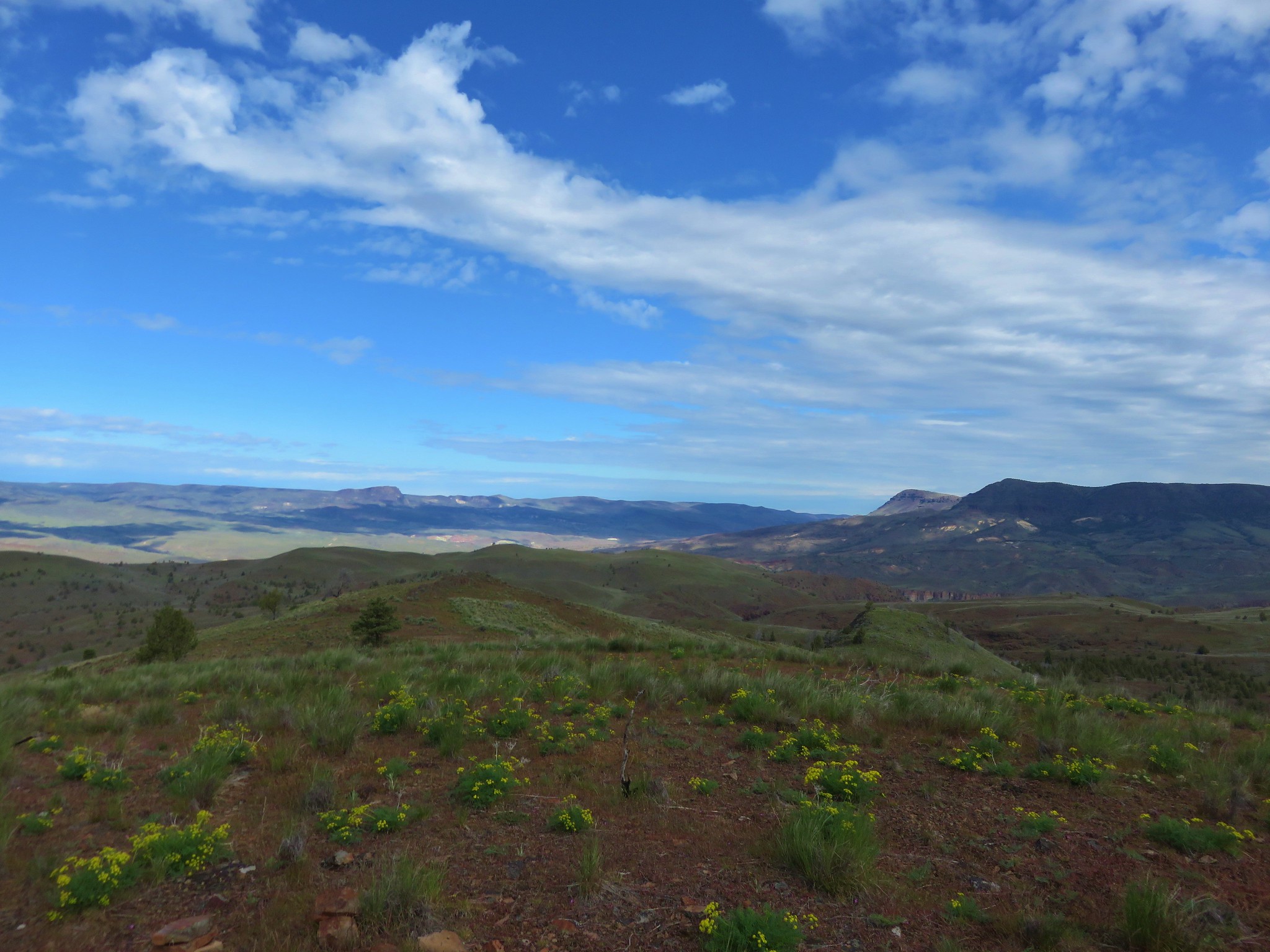
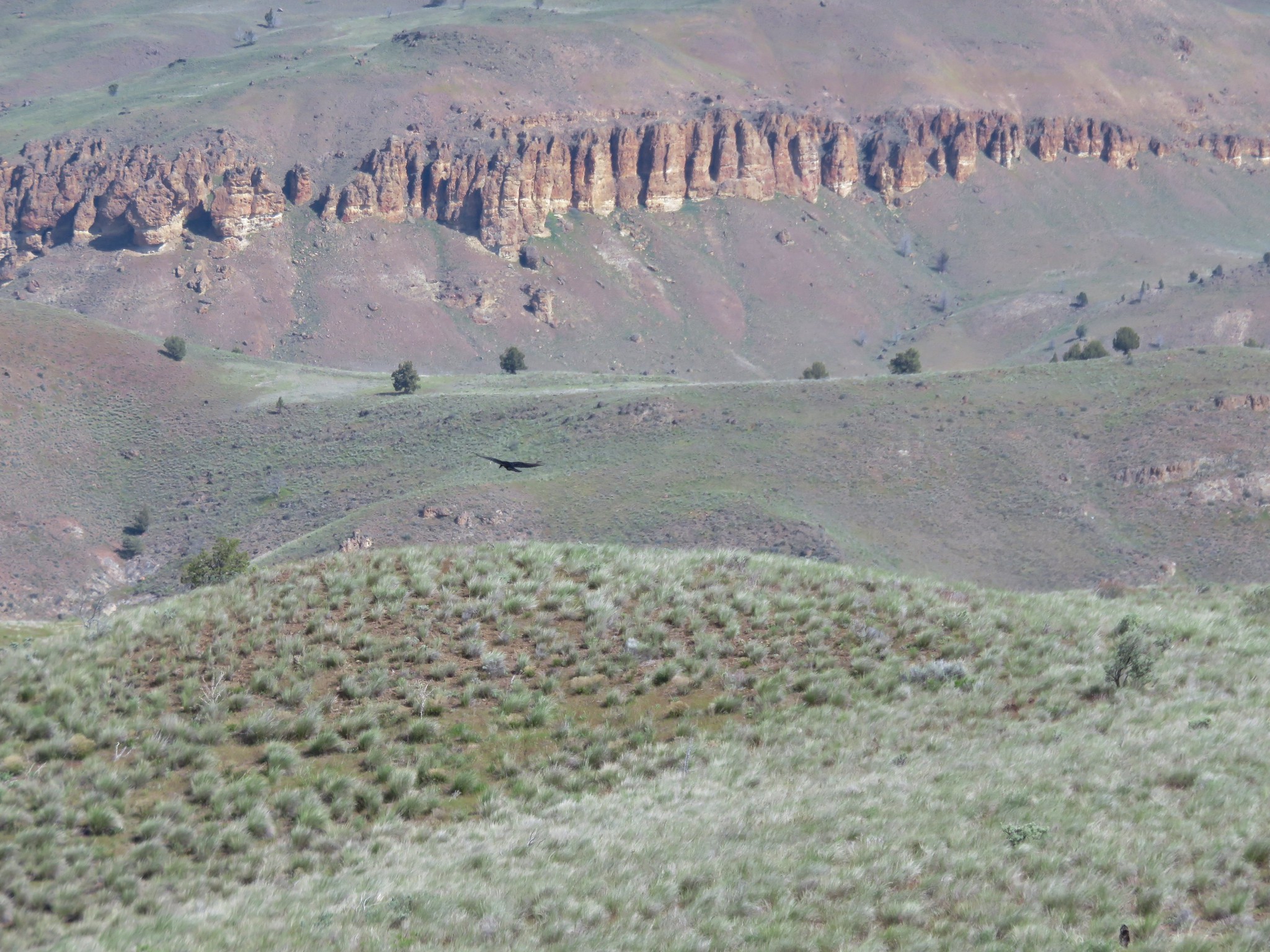
On the way back we noticed the Palisades of the Clarno Unit to the north.
We had been on the alert for rattlesnakes all day but had not seen nor heard any. That changed on our drive back to the highway. We spotted at least 4 rattlers sunning themselves on Clarno Road.
All three trails only added up to 1.4 miles so when we finished we headed over to the Spring Basin Wilderness and basically followed the route described in the Third Edition of William L. Sullivan's "100 Hikes/Travel Guide Eastern Oregon" (Hike #18).
A faint but clear path led into the wilderness toward a draw on the horizon.
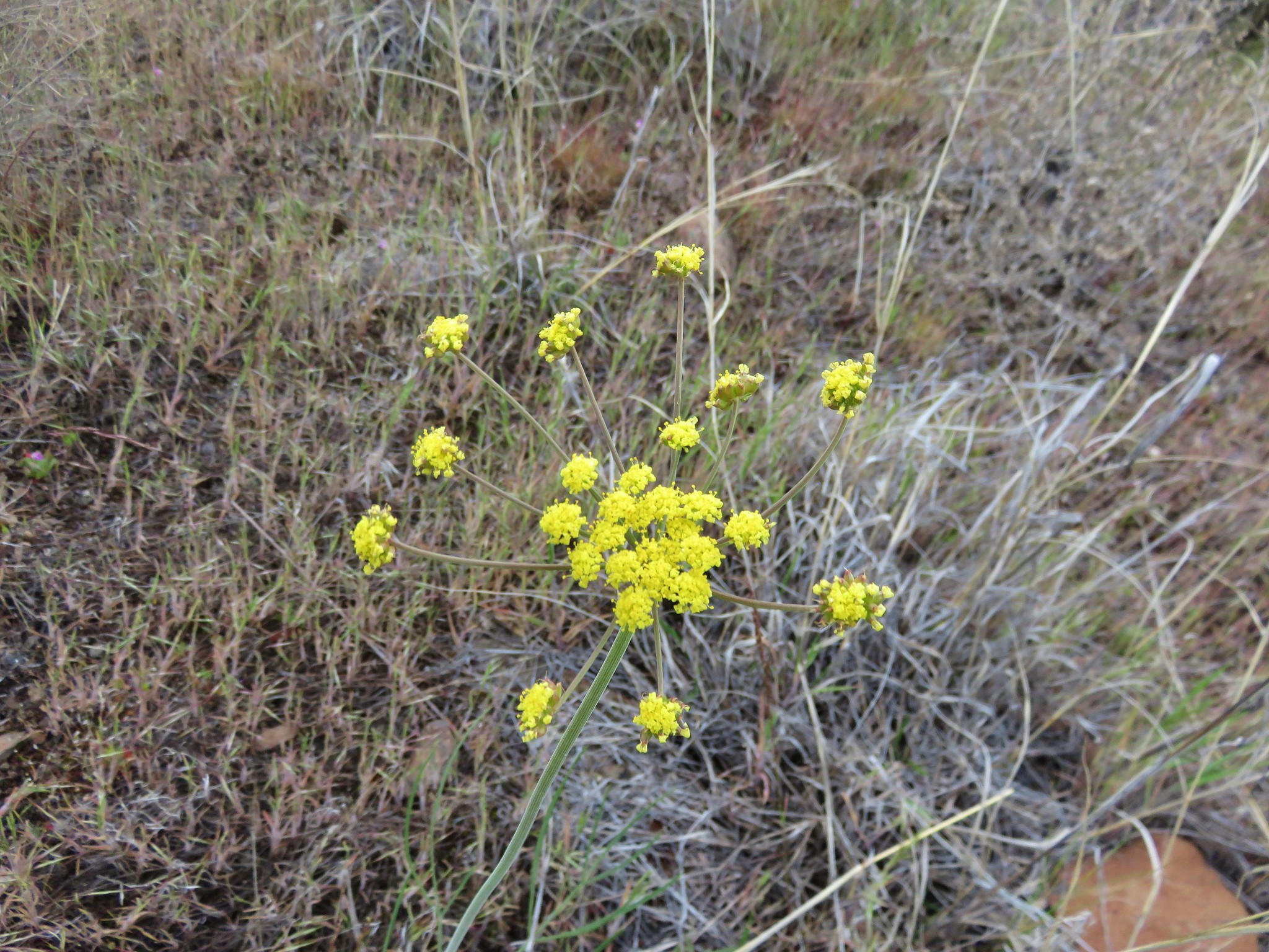
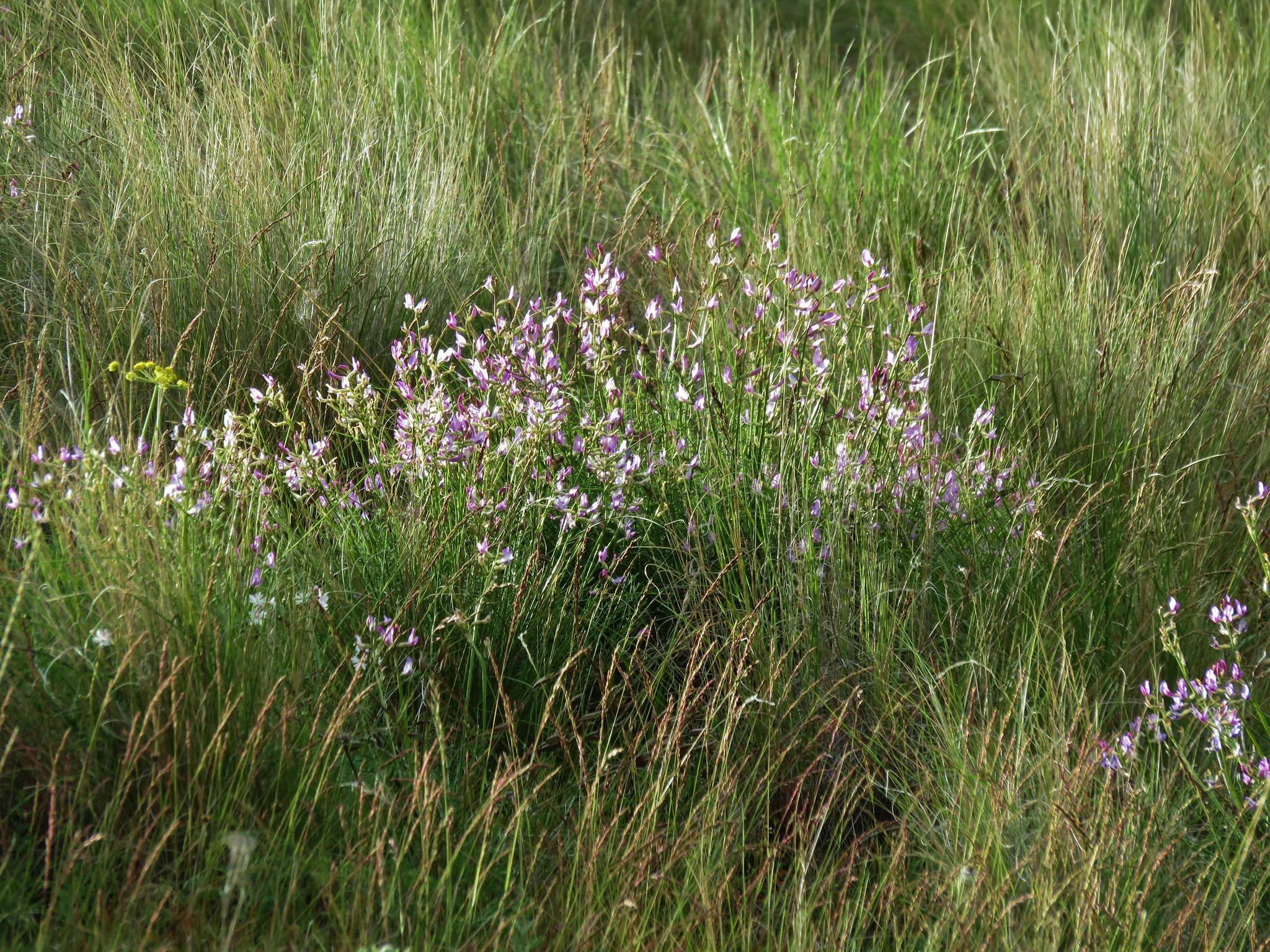
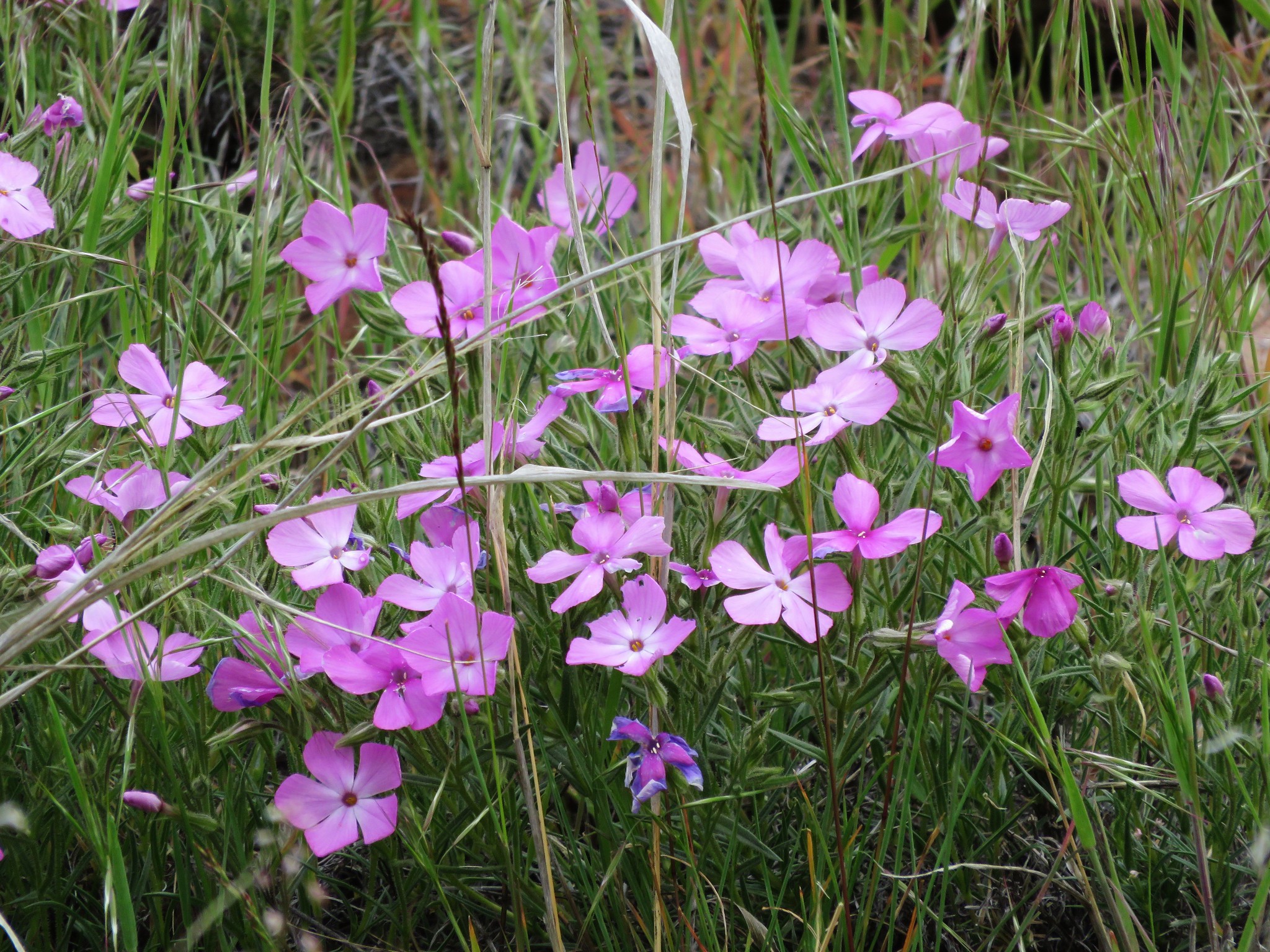
The path led us up into the draw passing a number of different types of wildflowers.
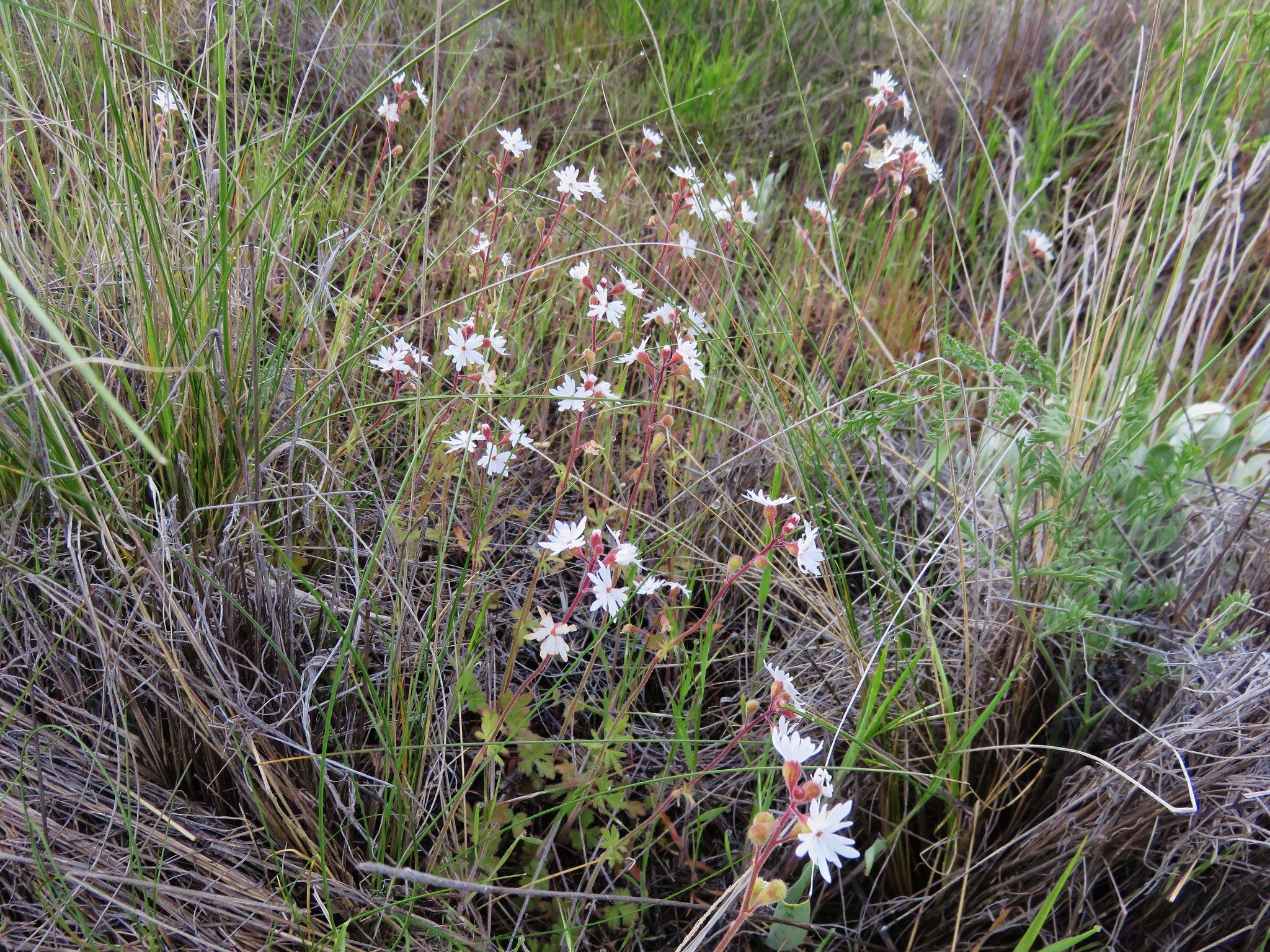
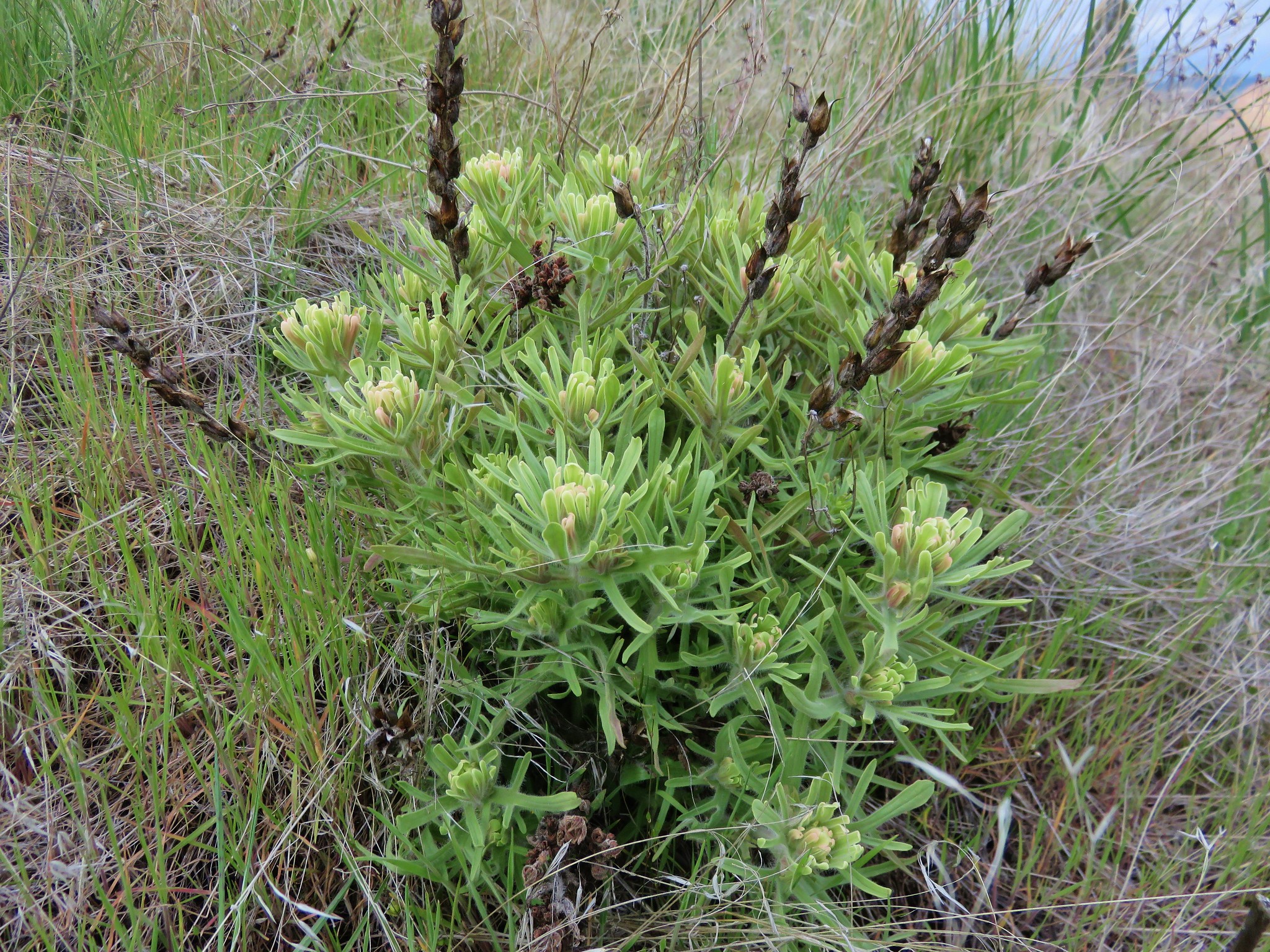
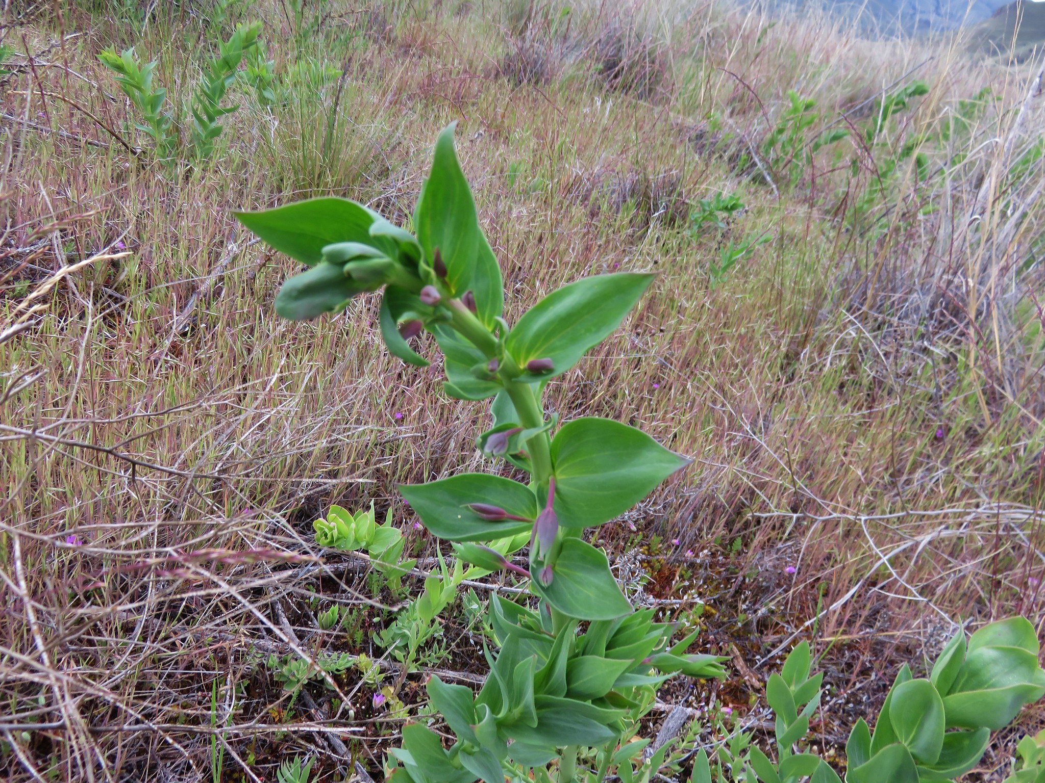
Anyone know what these are? There were lots of them around 1500' elevation but none were blooming, this one was the closest.
After 1.3 miles the path reached a ridge top junction with an old jeep track marked by a rock cairn.
Near the junction we spotted the first of many hedgehog cactus.
We followed a jeep track around the side of the green knoll described by Sullivan then turned uphill and went cross country to the summit marked by another cairn.
Our goal, Horse Mountain, was slightly southeast of the knoll.
To reach the summit of that mountain without having to lose and regain too much elevation Sullivan's route called for a .9 mile cross country route due east through a juniper grove then up a draw to find the jeep track once again on the ridge line.
We followed the jeep track north a short distance to a low point then descended into a draw and headed for the grove. The initial descent was a little steeper than it had appeared from the knoll but it was not a problem and we made it to the junipers without any difficulty.
From the grove we climbed up the draw we'd seen to the jeep track and turned right toward Horse Mountain.
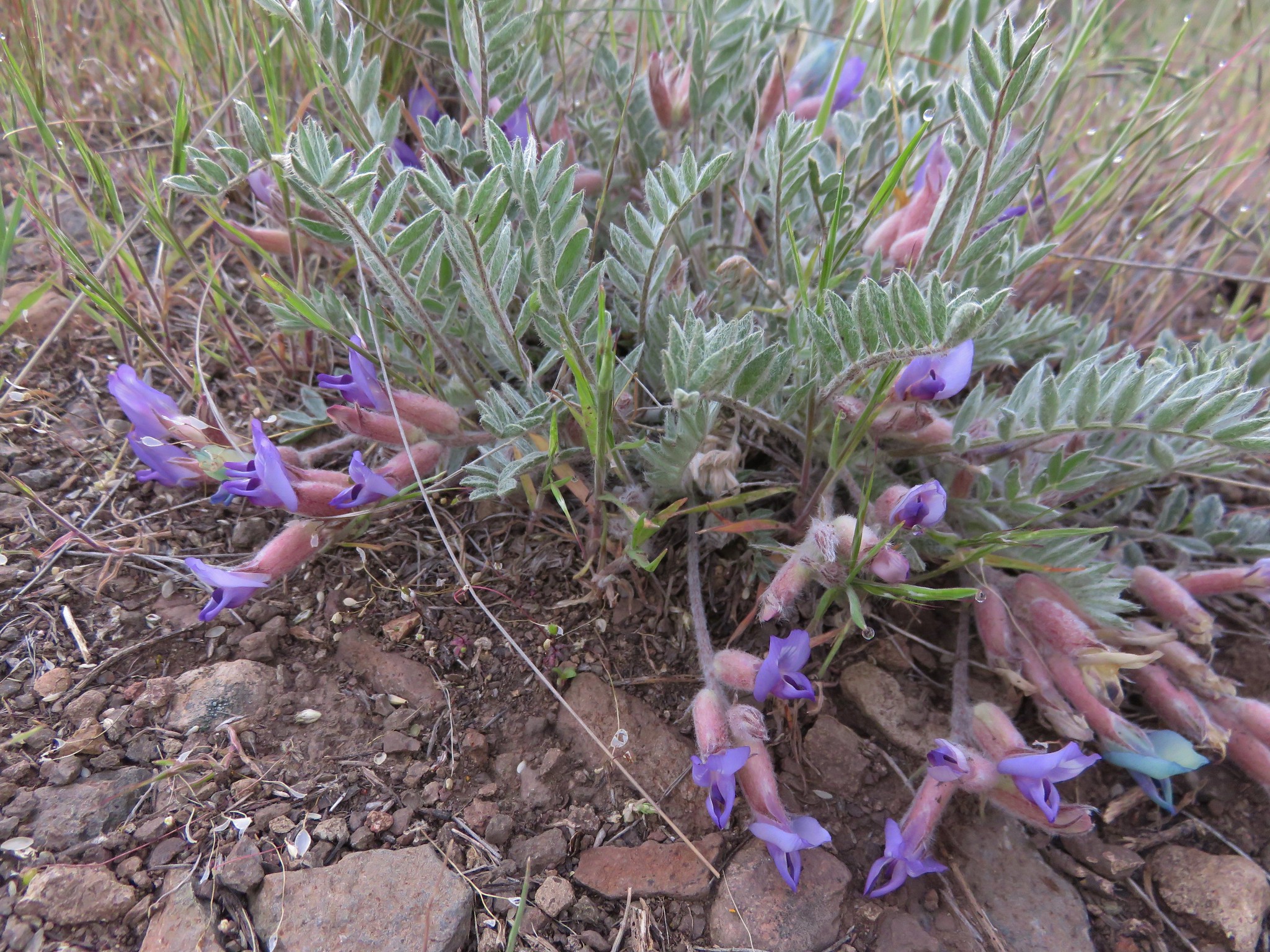
On the ridge we found more hedgehog cactus amid other many other wildflowers.
We stuck to the jeep track for approximately 3/4 of a mile then veered off toward Horse Mountain when the track turned left amid more junipers.
Our initial plan was to sidehill up to a saddle along Horse Mountain but we found it was actually easier to head directly uphill so we wound up gaining the ridge near it's western end which was dotted with balsamroot.
We then followed the ridge up to the summit of Horse Mountain.
A small rock cairn marked the summit of Horse Mountain.
To the far south the snowy Ochoco Mountains lined the horizon.
We had seen quite a few caterpillars on the ground all morning but now there seemed to be more and they were moving about.
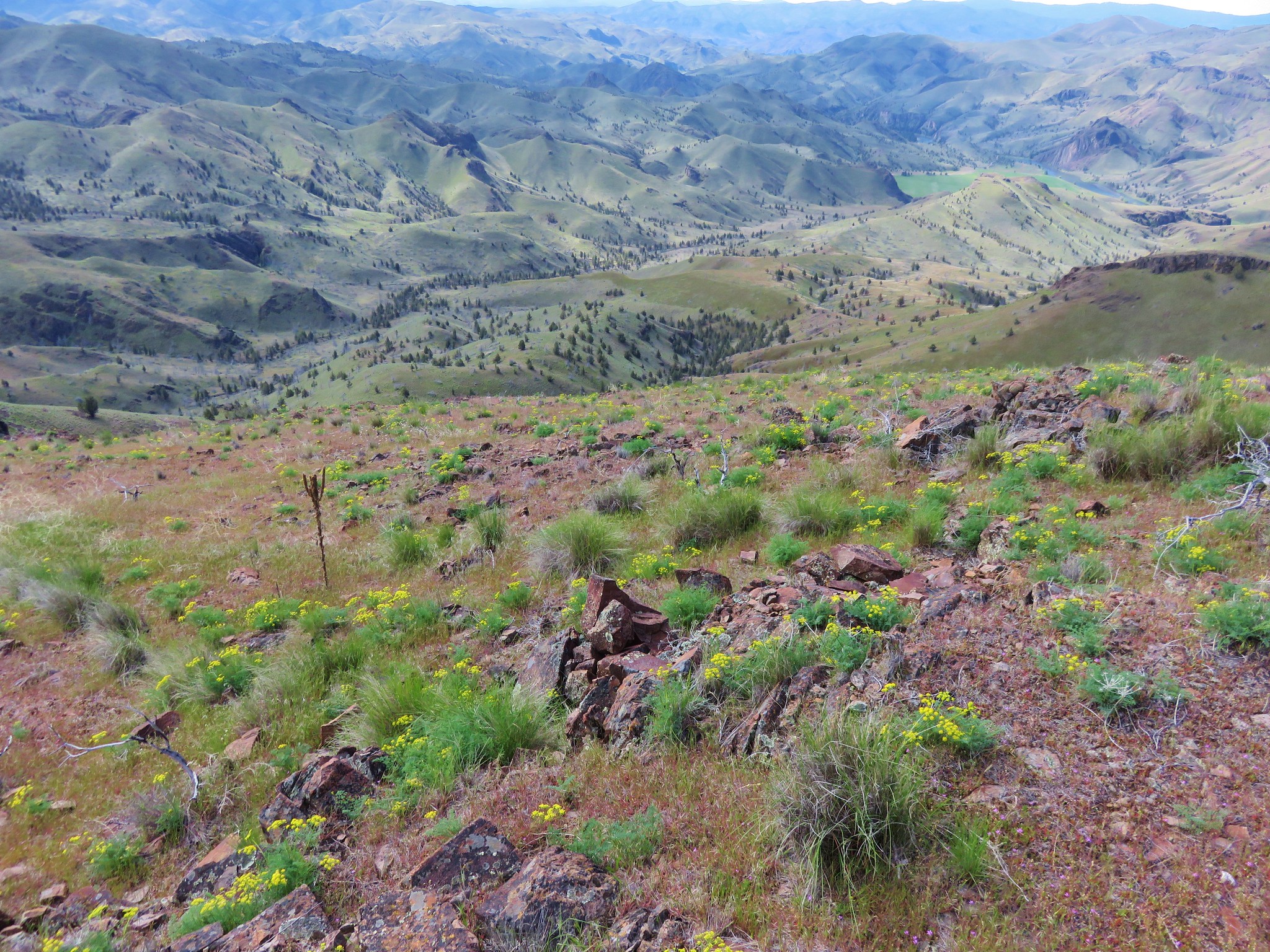
On the way back we noticed the Palisades of the Clarno Unit to the north.
We had been on the alert for rattlesnakes all day but had not seen nor heard any. That changed on our drive back to the highway. We spotted at least 4 rattlers sunning themselves on Clarno Road.