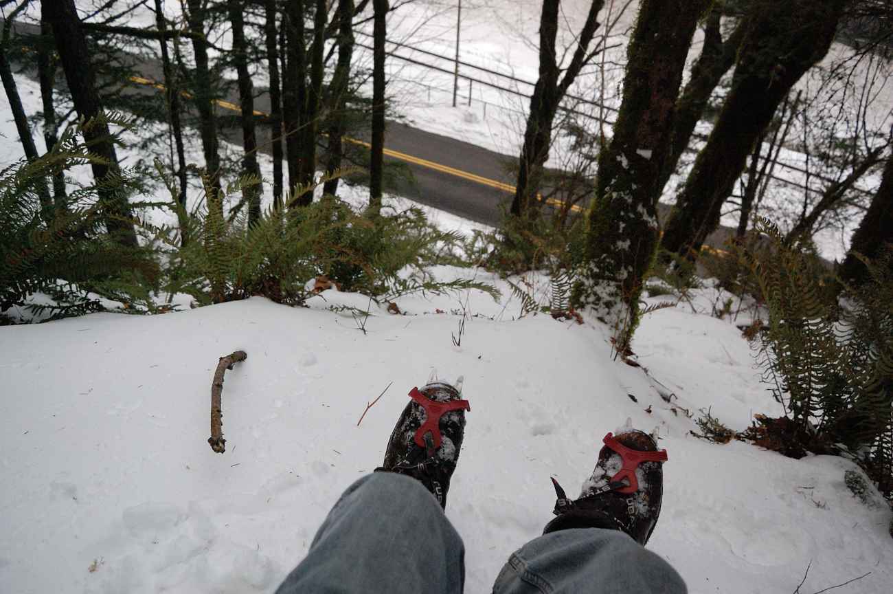
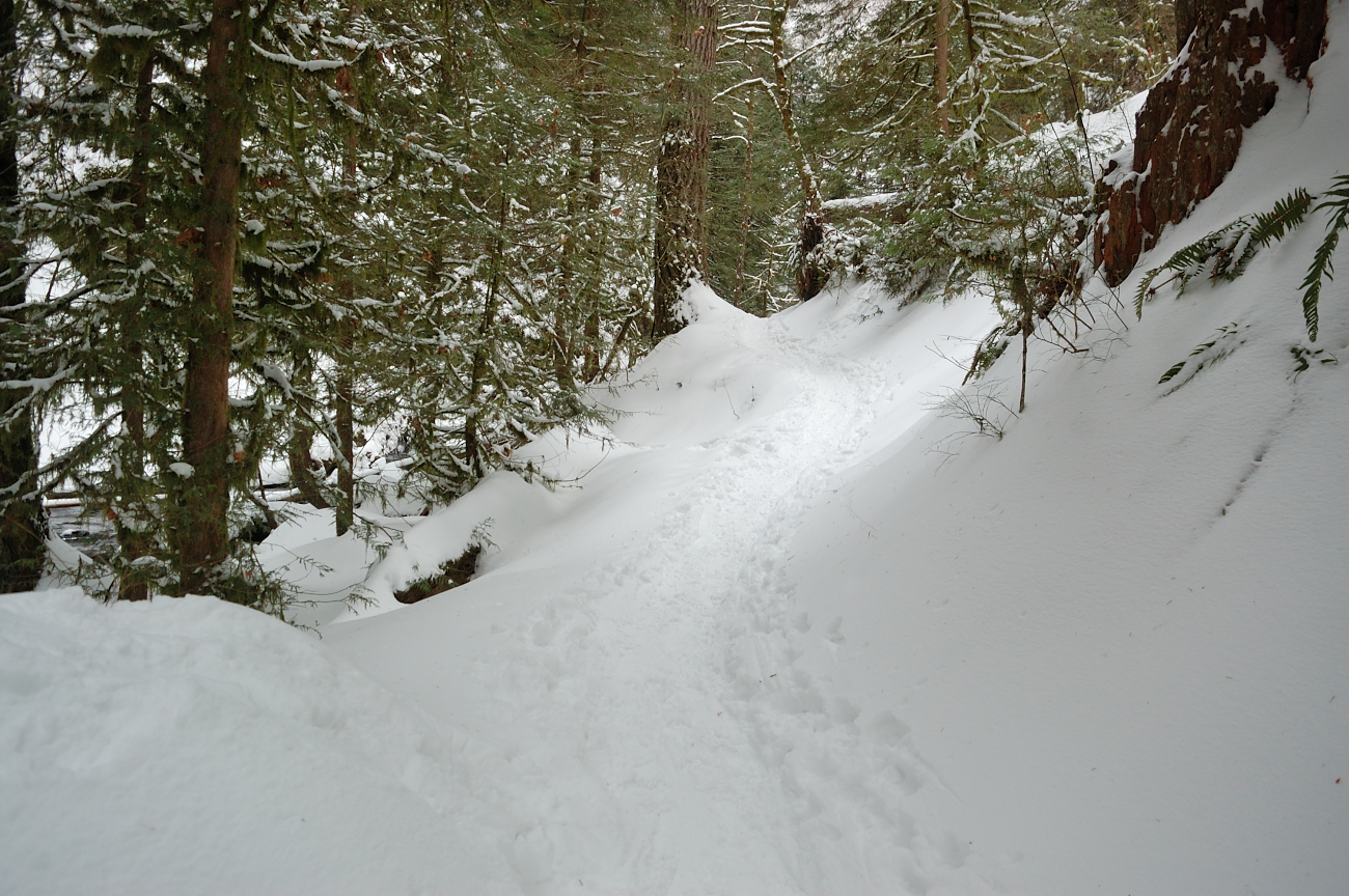
It was pretty icy going uphill - crampons went on, and stayed on for the rest of the hike.
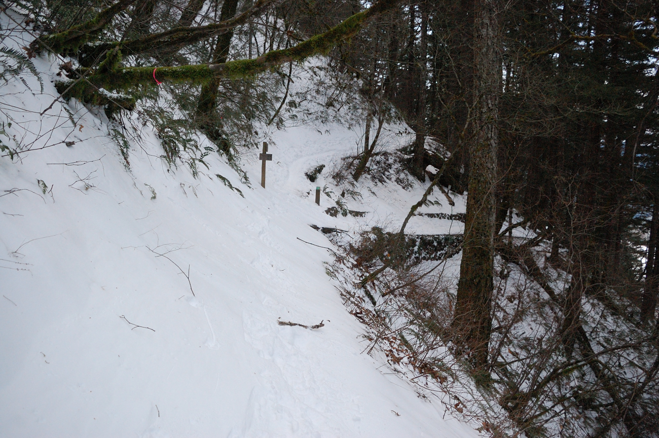
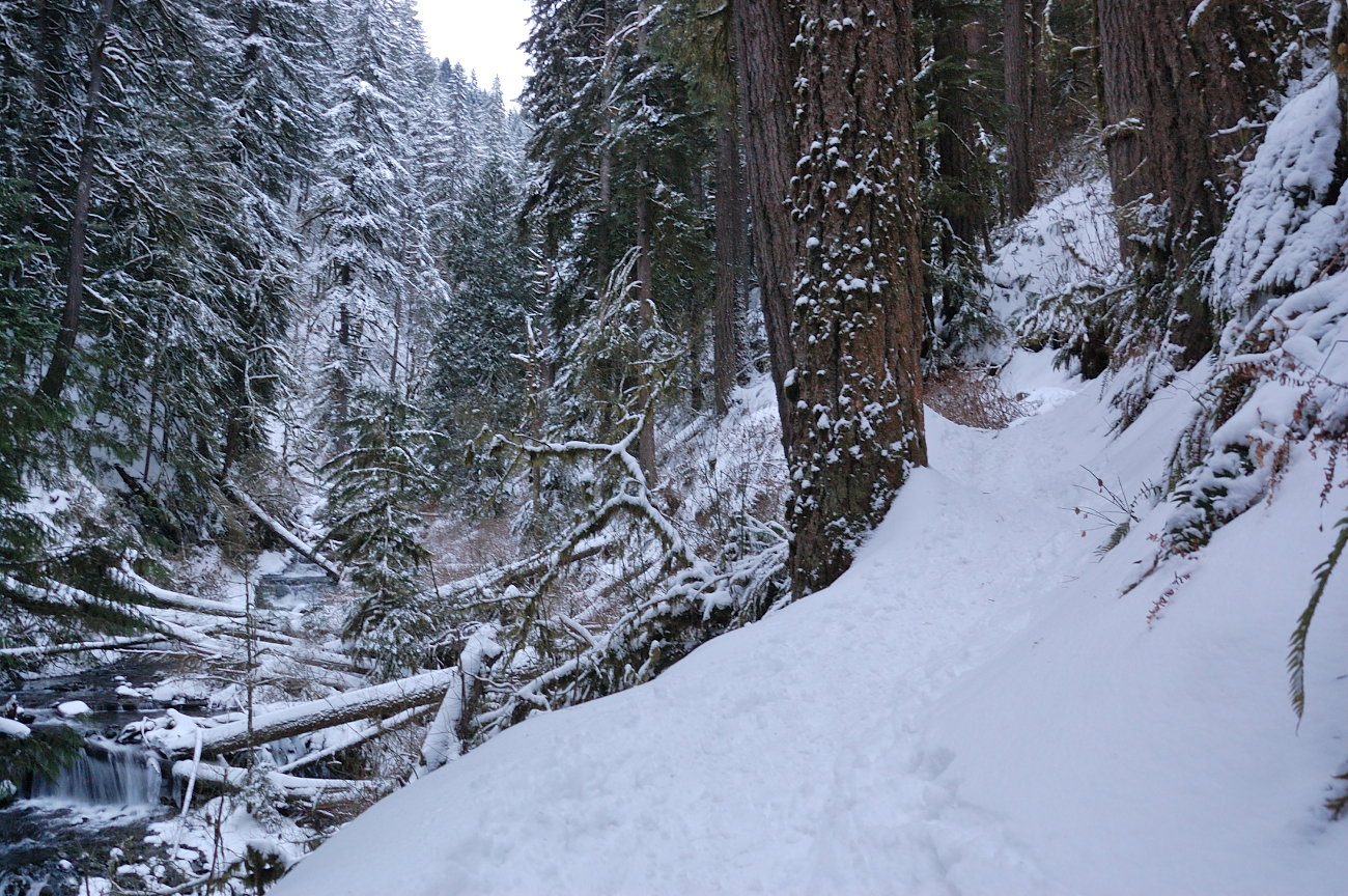
Gorge Trail #400 (note the side hill angle), looking towards Multnomah Trail junction
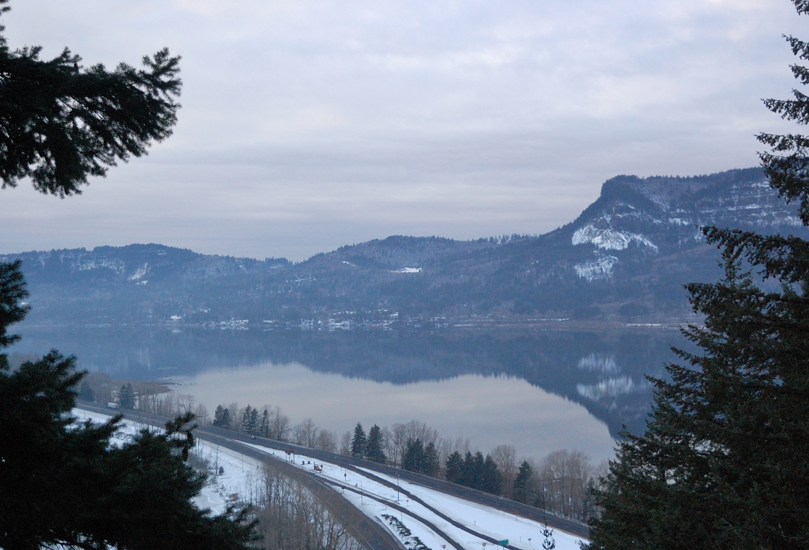
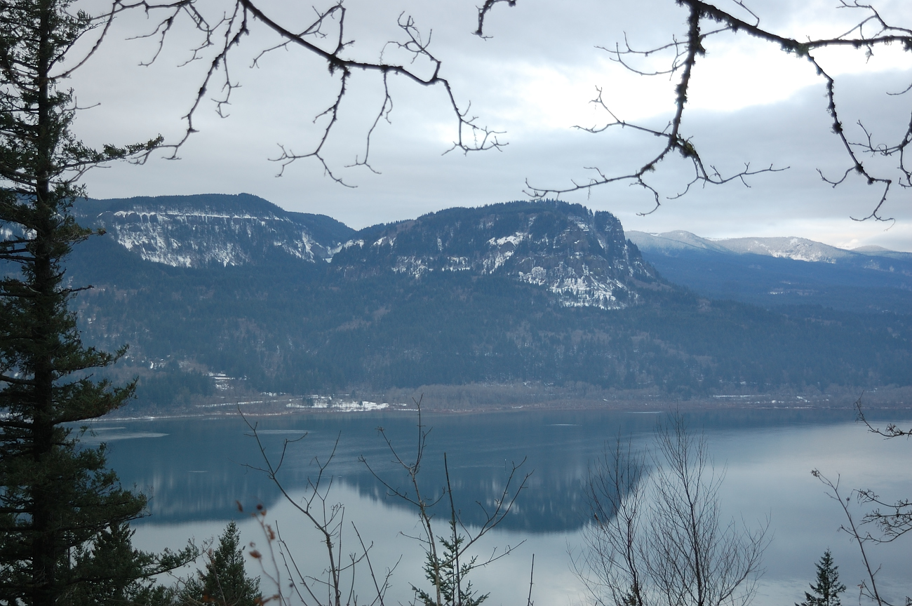
How often do you see reflection on Columbia River?
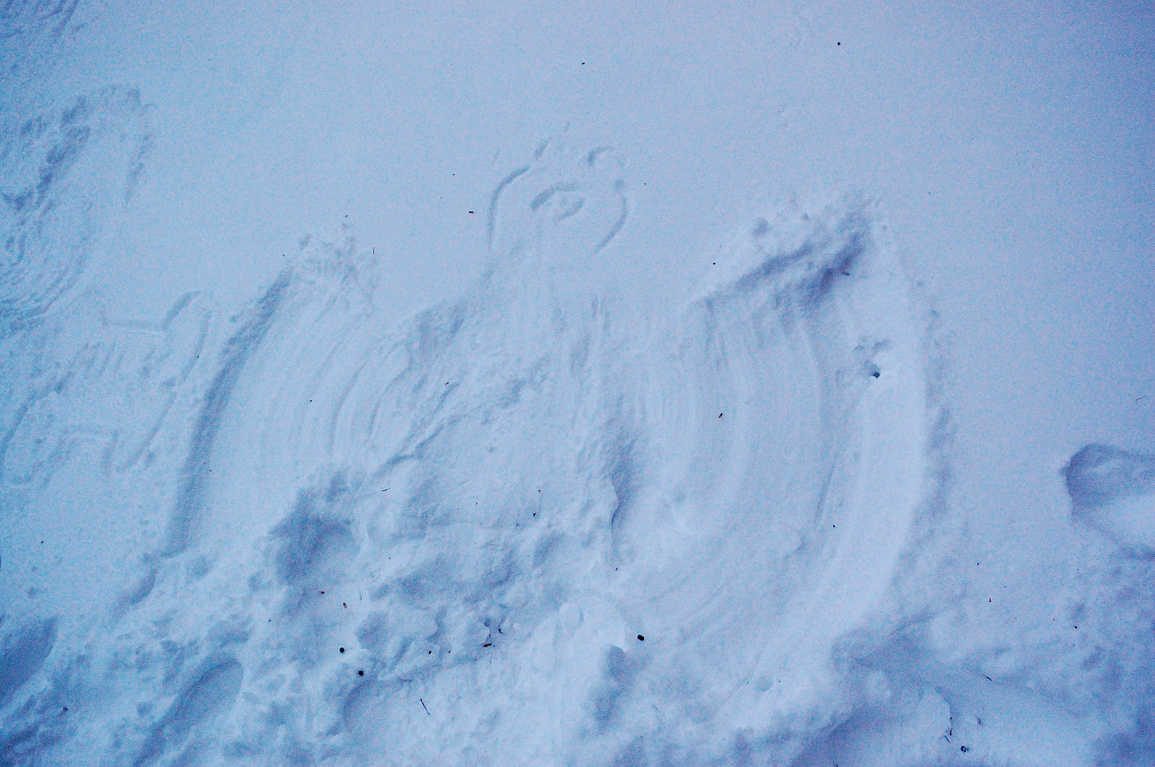
Saw some winter creatures as well

Snow angels
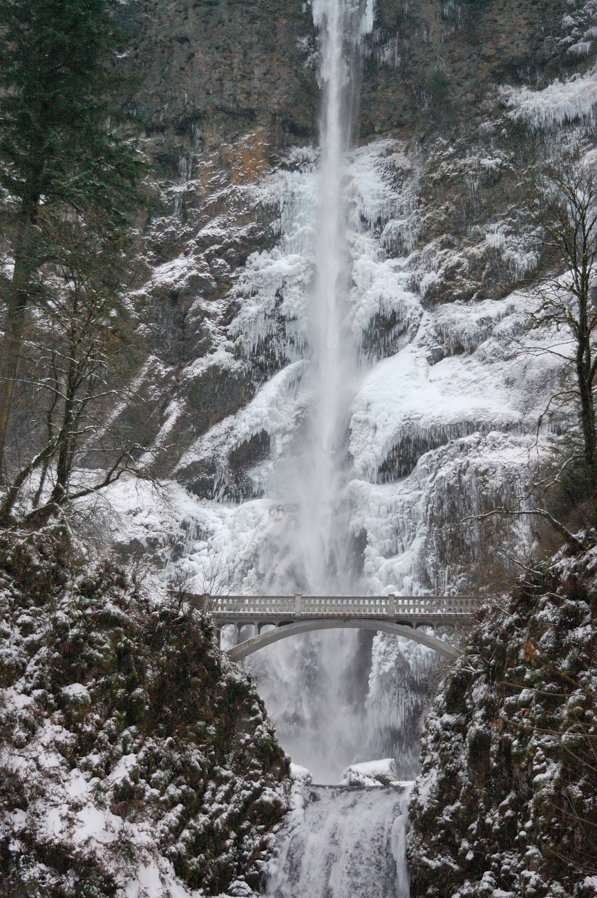
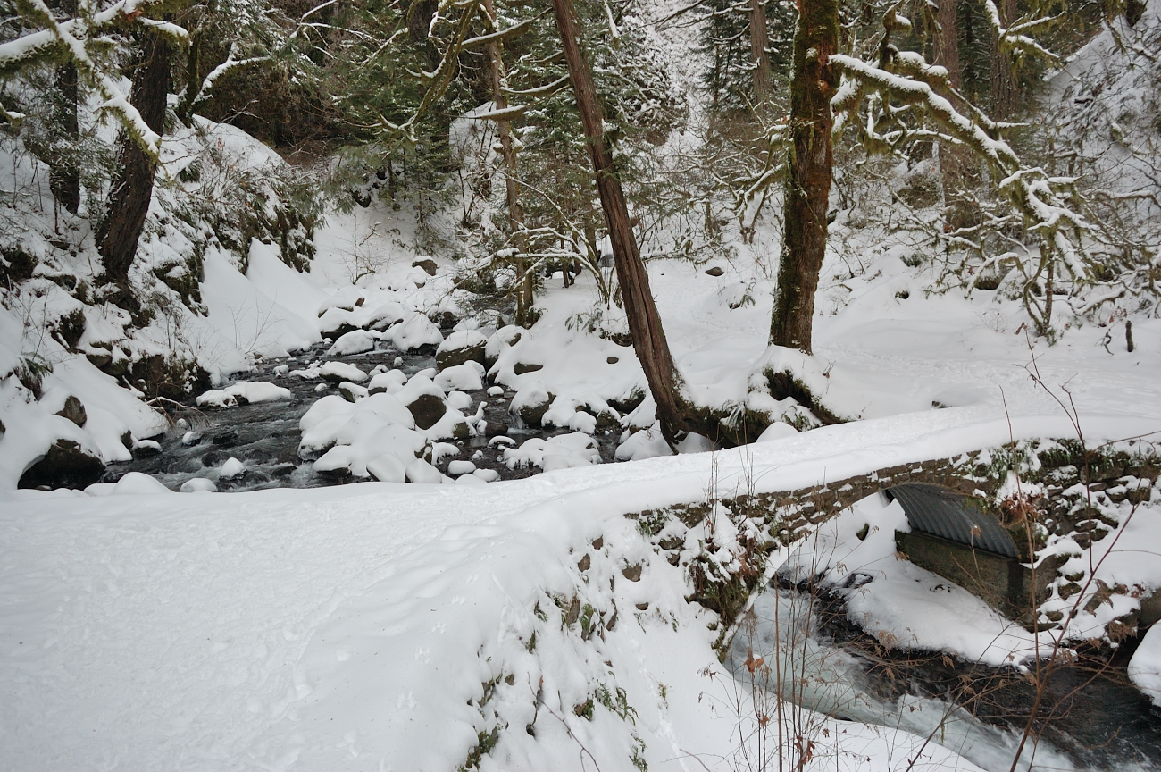
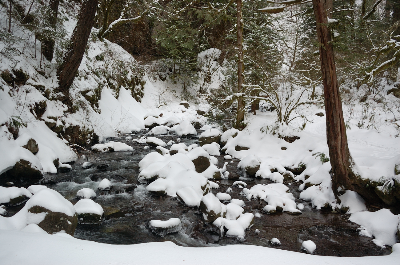
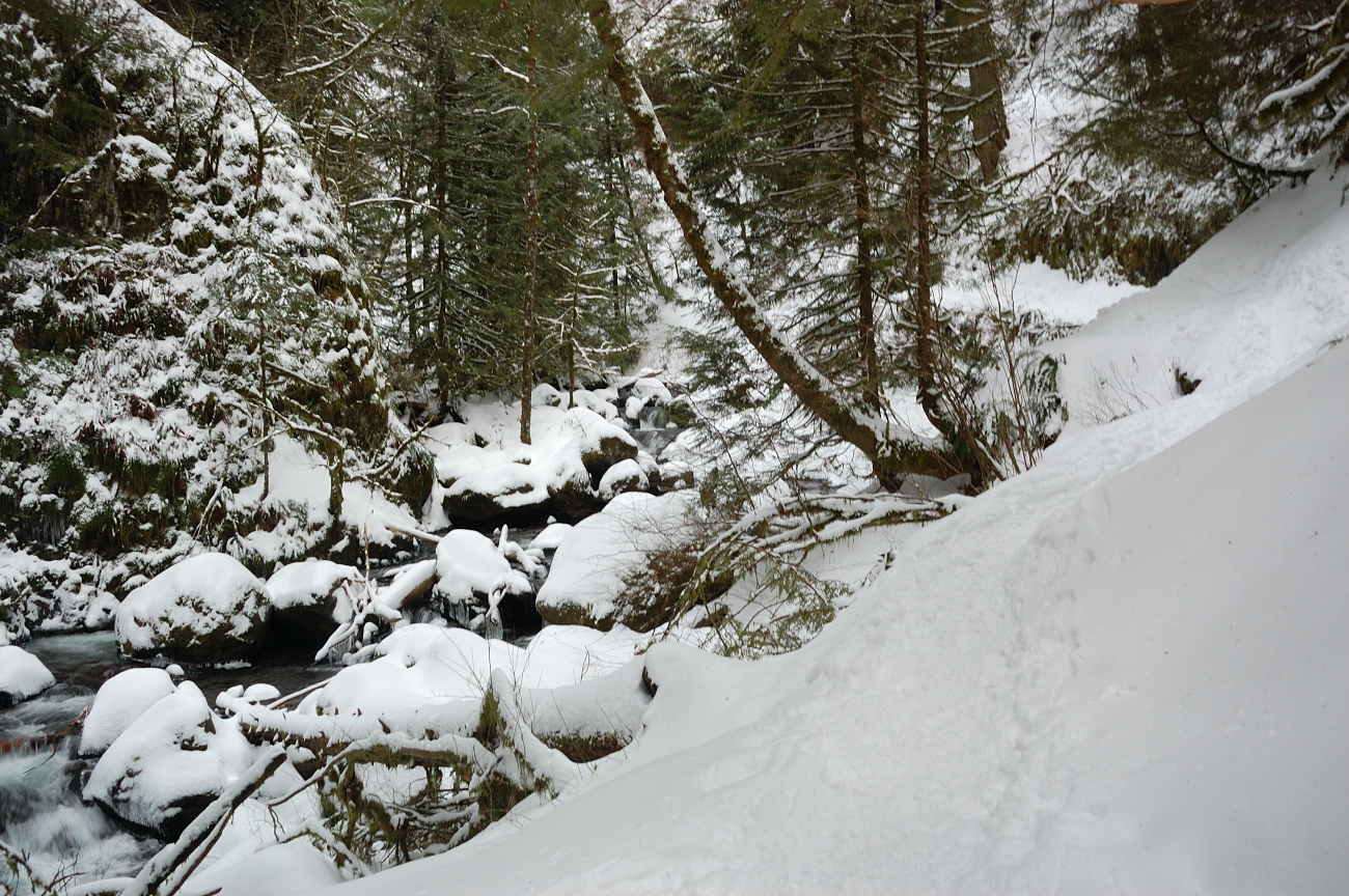
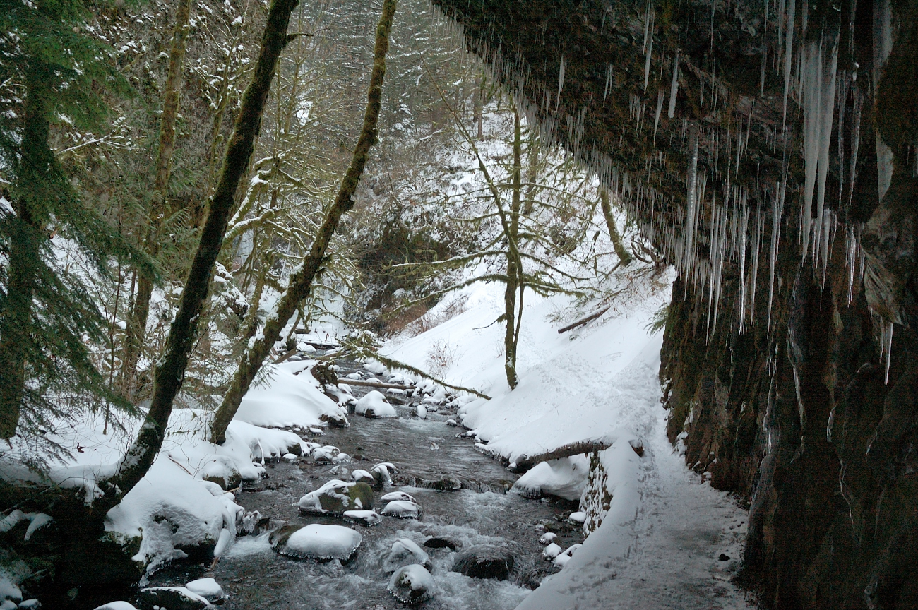
The trail along Multnomah Creek was well tracked and frozen canyon looked fantastic. It wasn't cold at all, with zero wind. It was trying to snow at times, and was very quiet
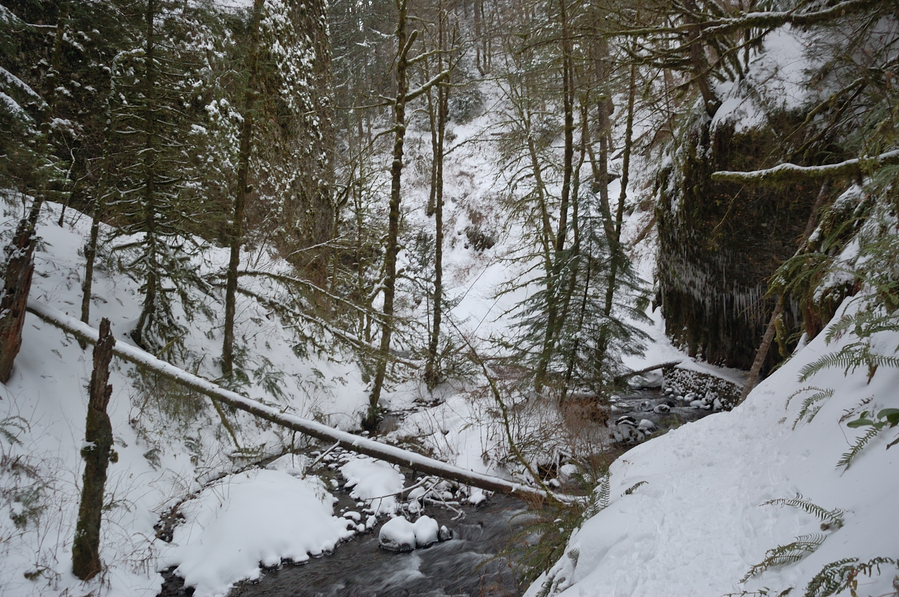
I always wonder if this overhang is natural (most likely), or was cut during trail construction. Some 4-foot icicles
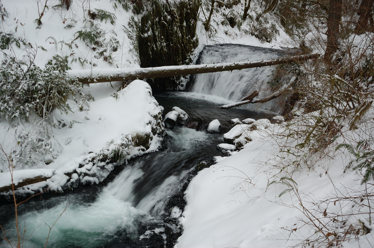
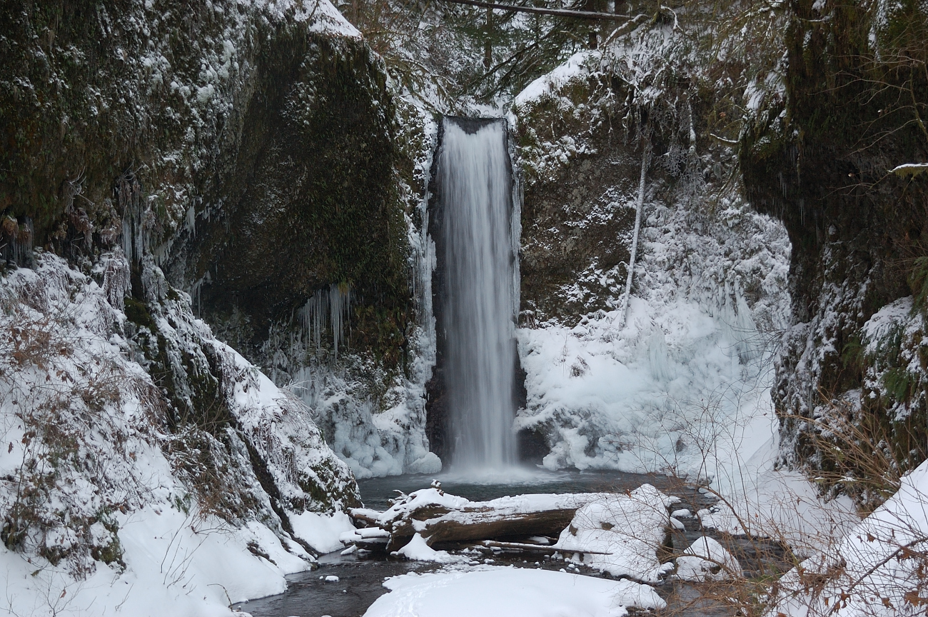
Ecola Falls
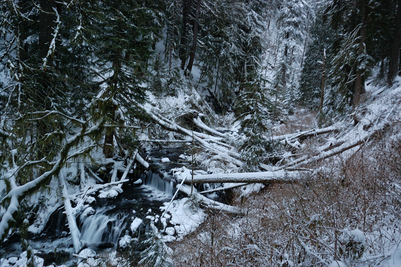
This spot really didn't look so bad

Wish I had time to continue up Larch Mtn
Bushwakers' proving ground
It became dark around the time I hit high point of the loop. The rest of the trail had tracks to follow so route-finding was easy - though it was definitely slower going down Wahkeena than on my way up, i.e. in a few places tracks went straight downhill instead of taking switchbacks. On the lower part of Wahkeena trail (the section with paved switchbacks & stone wall) 4-5 foot snowdrift covered several switchbacks but luckily all snow was hard frozen and it was easy going with spikes. Connector trail above the Hwy between Wahkeenah and Multnomah trailheads had one big tree down in bad spot, but I don't recall any more on this loop.
Fairy Falls, surprisingly, didn't freeze at all
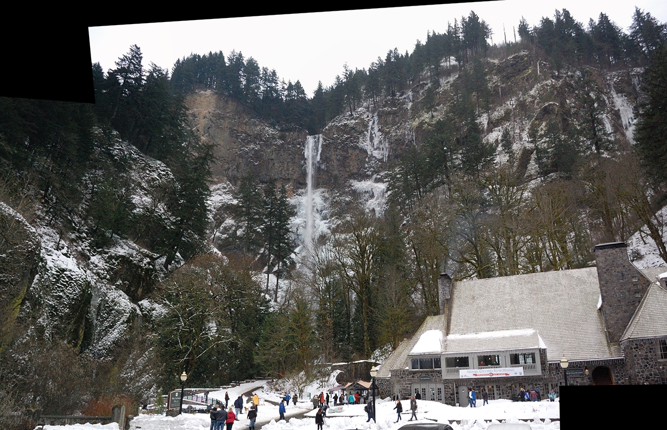
Snow really lights things up, what otherwise would be dark, drippy hike in the canyon
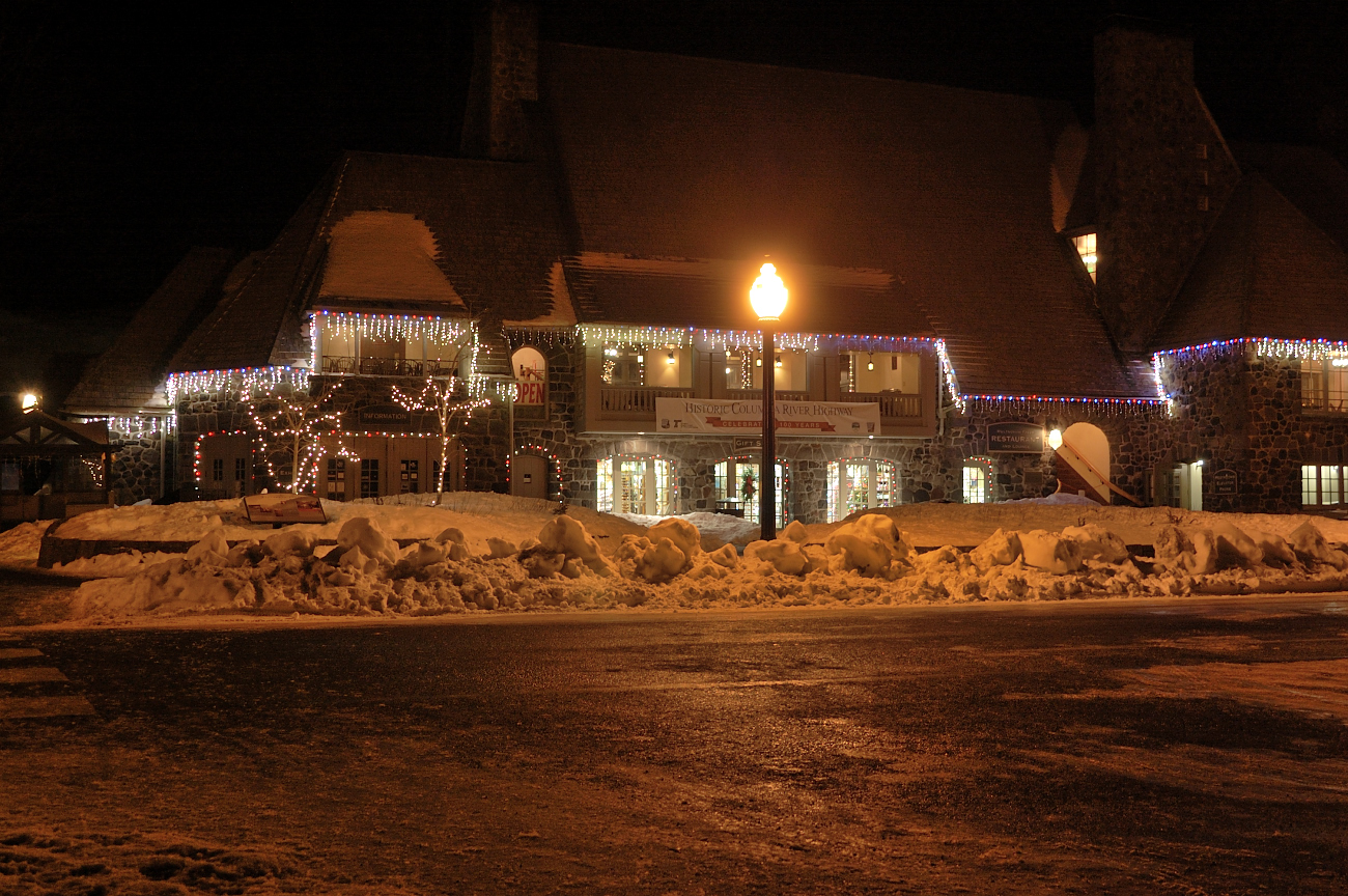
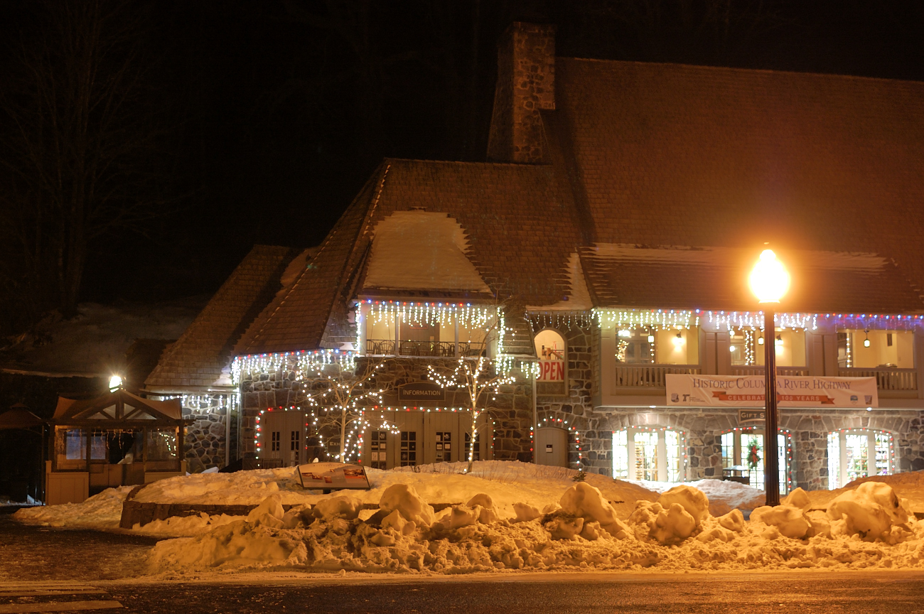
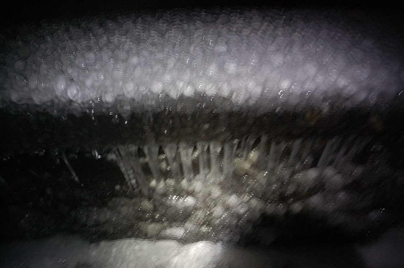
My attempt at night photography
Need to enter this Wahkeena pic for Worst Waterfall Shot Contest
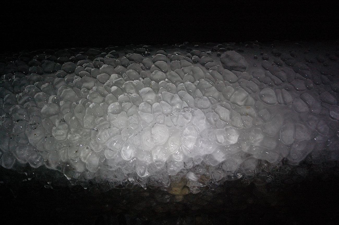
Ice on handrails at Wahkeena Falls
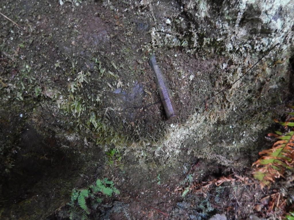
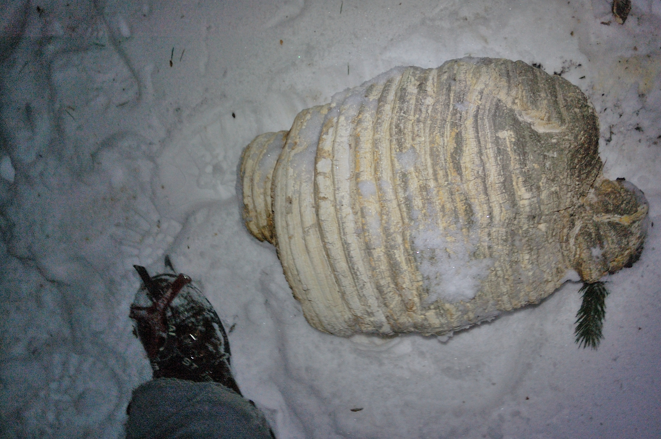
This thing really puzzled me. Seems to be hollow inside, very light. Giant yellowjacket nest fallen from the tree? Tree parasite growth?
Handrail at the Lodge made for nice tripod for my camera for couple night shots