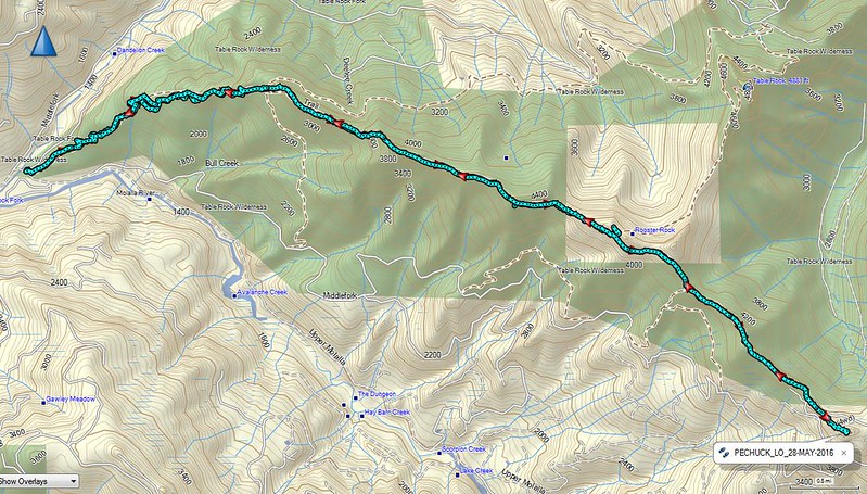
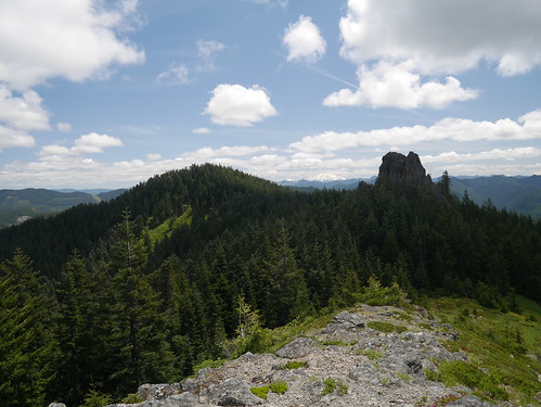
View of Rooster Rock from Chicken Rock in the Table Rock Wilderness
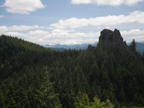
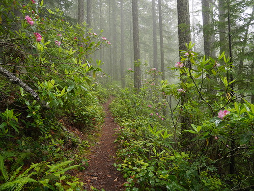
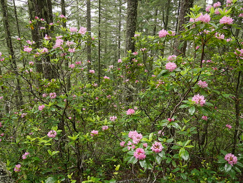
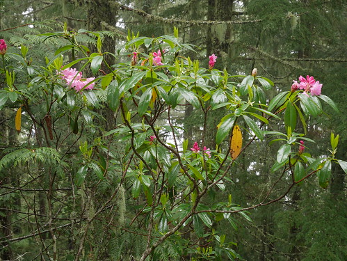
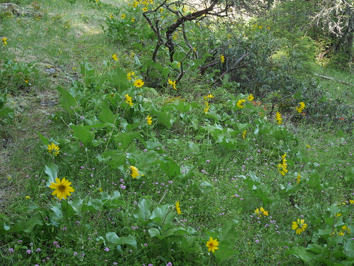
Backtracking to the previous week first – our hike in the Menagerie Wilderness had some rain but also a surprisingly prolific display of blooming Rhodies.
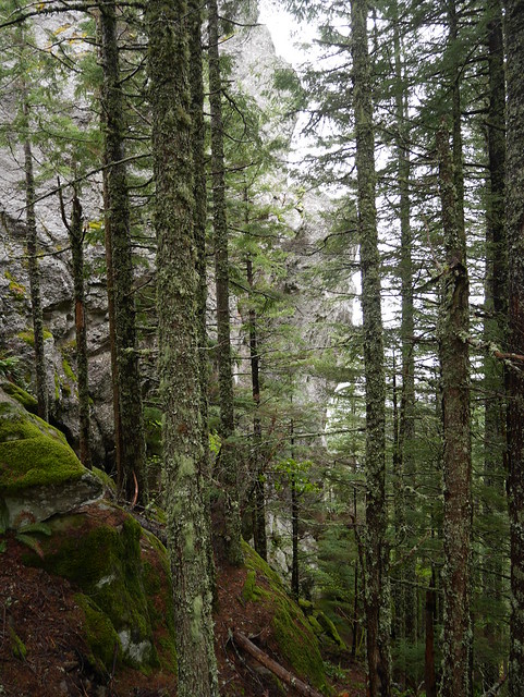
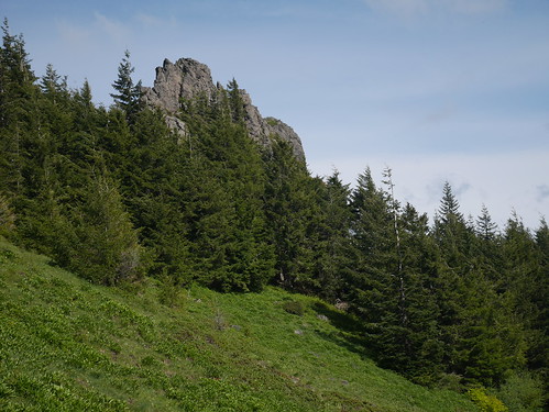
Just shy of the top, Rooster Rock is hard to see through the trees. Not the easiest picture to get.
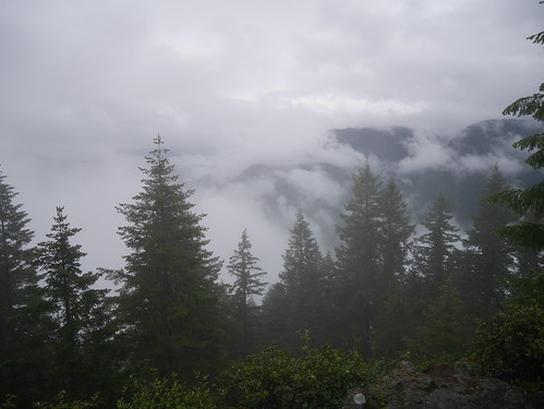
Cloudy view from the top.
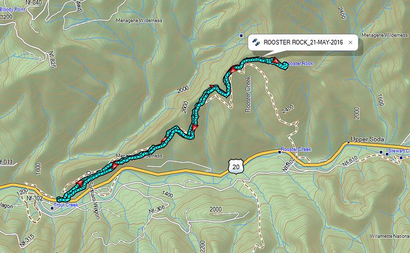
We took the Trout Creek trail up and back. The Trailhead is right off the South Santiam River Hwy 20. It’s a steady climb and about 7 miles round trip. We added a few more miles this day by doing a nearby segment of the Old Santiam Wagon Road trail.
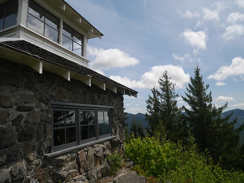
The next week, in the Table Rock Wilderness, we chose to hike the High Ridge Trail to Pechuck Lookout. Along the way, the trail passes below Rooster Rock. The trail connecting to Table Rock takes you a short distance to Chicken Rock (4,565’) and some good views.
Some flowers.
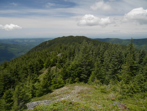
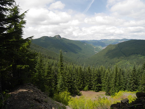
A look Northwest towards Table Rock.
We arrived at Pechuck Lookout later than expected after about 8 miles and 3,500 ft of elevation gain.
Rooster Rock from the High Ridge trail below.
From the Old Bridge Trailhead this was a long 16 mile hike (round trip) with significant elevation gain. We were tired when we finished.