
This is a great hike if your legs are a little out of condition like mine after a wet and snowy spring. Few boots have traveled this route as evidenced by the growth reaching into the trail, but otherwise it has not suffered from the ravages of winter and there were no major obstacles along the way. The trail was well graded.
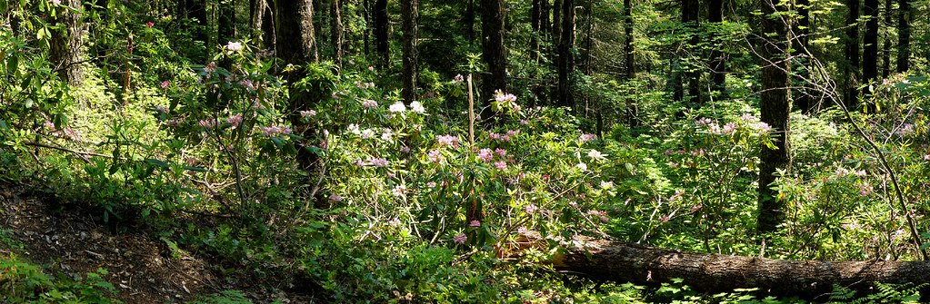
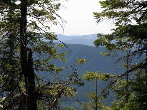
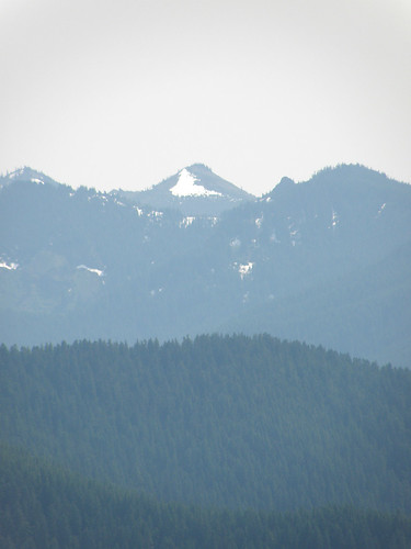
The abundant rhododendrons were in full bloom most of the way up, but there will be time to see fresh blossoms since they have not yet opened near the top. Smoke from California forest fires filled the air diminishing the blue of the sky and placing a haze on the distant hills. Looking down you could view some of the neighboring communities on either side of the ridge.
It's hard to capture the beauty of of this spot in the dappled sunlight.
Blossoms were everywhere.
Hazy view. Can anybody tell me the name of these distant mountains.
They are S and SSW of the trail?
A happy hiker

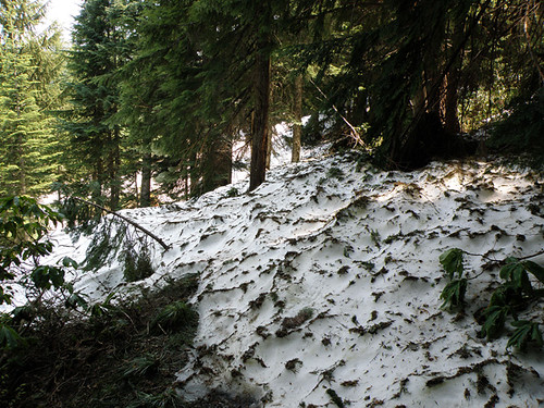
At 4427 ft. we finally reached snow. It came suddenly as we rounded a corner. My GPS showed the trail going straight ahead but without seeing where it came out we chose not to venture on. Quite possibly the snow may have ended as suddenly as it appeared.
Another beautiful day in Mount Hood National Forest!


