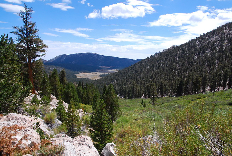
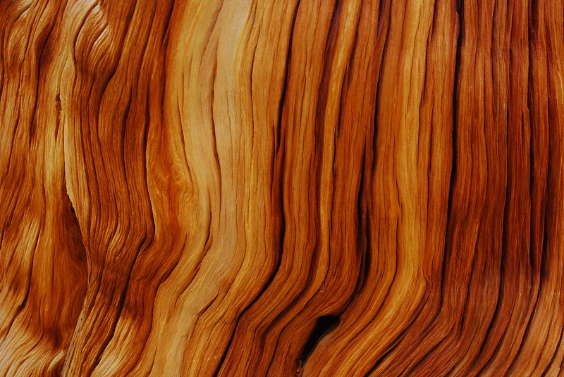
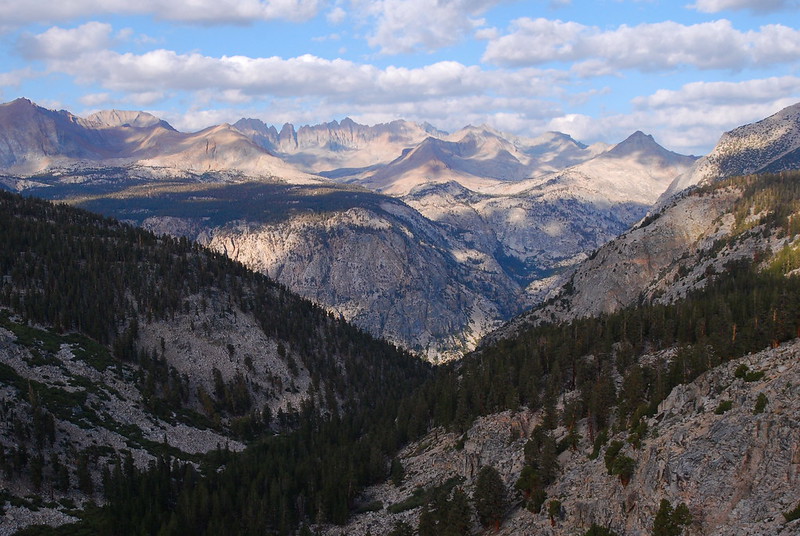
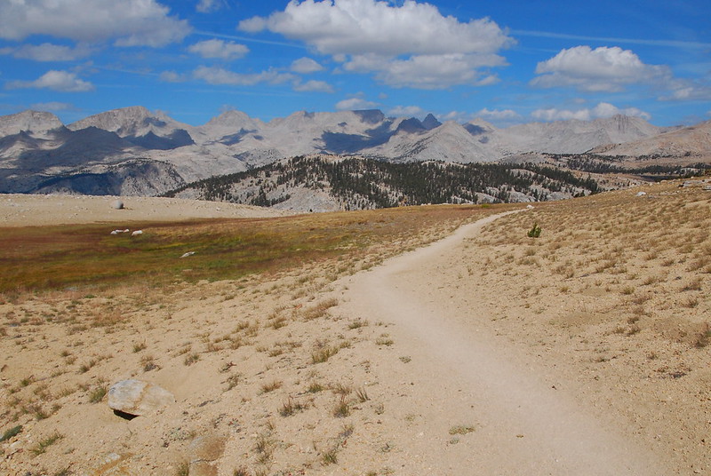
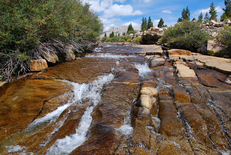
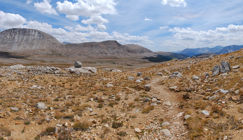
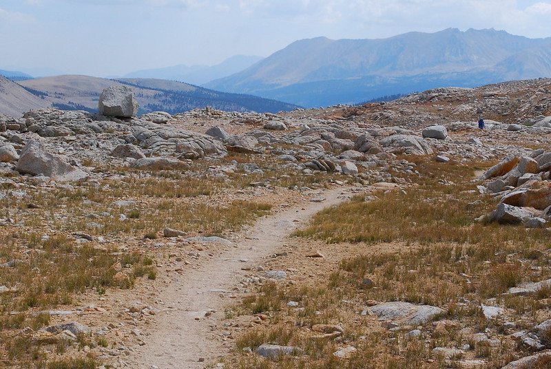
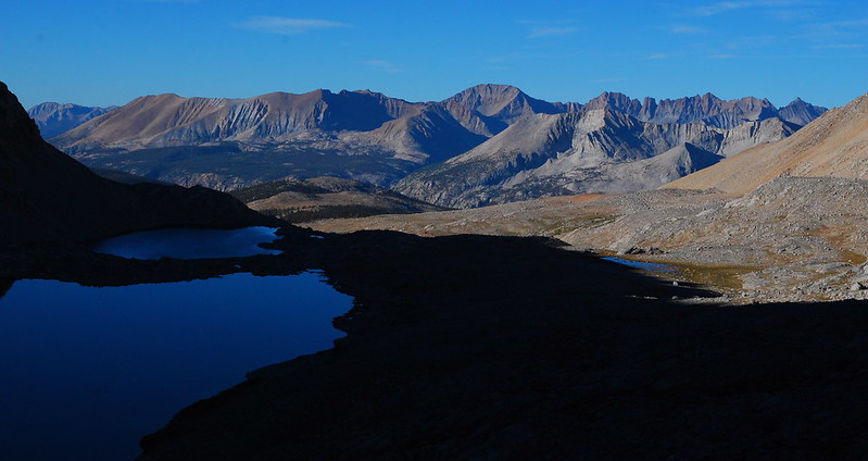
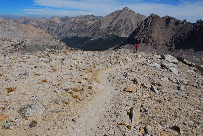
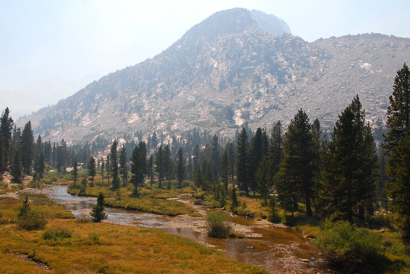
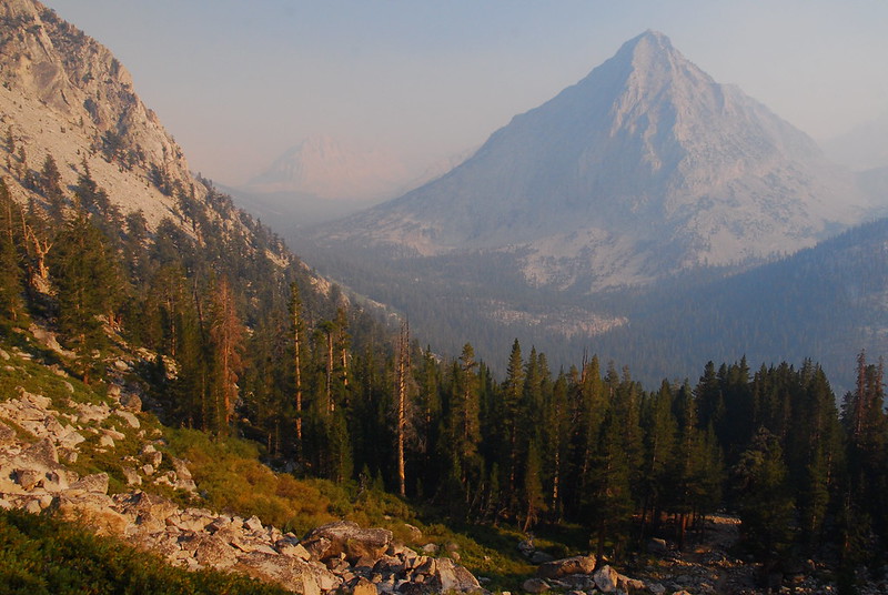
Opening picture: descending north into the Bubbs Creek drainage, from Forester Pass.
Krista and I spent most of the last month hiking most of the John Muir Trail, northbound, from Horseshoe Meadows (near Lone Pine, around twenty miles south of Mt. Whitney) to Tuolumne Meadows in Yosemite. The hiking itself took us twenty-two days, with resupplies in Independence, Muir Trail Ranch, and Red's Meadow.
The route was non-traditional in several senses: (a) most hikers go southbound, while we went northbound; (b) those hikers that go northbound typically start at Mt. Whitney, while we started south of Whitney; and (c) we skipped both of the trail's official termini (Mt. Whitney and Happy Isles). (a) and (b) are due to permit difficulties: in the wake of Mile... Mile and a Half, permits out of Yosemite are very difficult to get (most people we met took around twenty consecutive lottery entries to get one), and permits out of Whitney, though easier, are still somewhat of a pain. Starting at Horseshoe Meadows meant that we could easily reserve a permit from Inyo National Forest via recreation.gov without any uncertainty. (c) is just personal preference: I'd like to climb Whitney some day, but doing it as an out-and-back would have broken up the trip more than either of us wanted, and finishing in Yosemite Valley felt perilously close to ending a wilderness excursion with a trip to Disneyland.
I don't normally like breaking up backpacking trips into multiple posts, but covering all three weeks (and even a small fraction of the 2100 pictures we took) in one go would probably tax even the most patient Portland Hiker's attention, so I figured I'd break this one into three:
- Part 1: Horseshoe Meadows to Independence, August 25 - 30, 2015
- Part 2: Independence to Muir Trail Ranch, August 31 - September 7, 2015
- Part 3: Muir Trail Ranch to Tuolumne Meadows, September 7 - 14, 2015
Day 0 (Aug. 22-24, 2015): Getting There
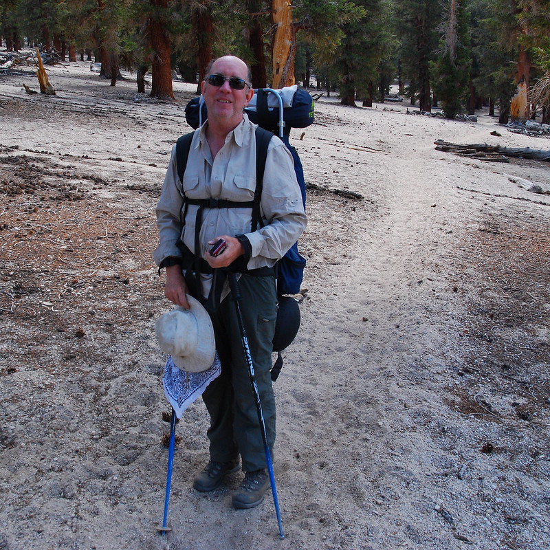
Lone Pine is a long way from Portland, and we didn't have a long time to get there. Krista's cousin was getting married in Eugene on Saturday, and our permit had us starting on Tuesday. So we left the wedding around ten and drove most of the night, with a couple hour stop at a rest stop near Red Bluff for sleep. When we pulled into Yosemite the next morning, I was already wiped:
We parked the car at the Tuolumne Meadows Wilderness Permit lot (there were quite a few spaces available, even on a weekend), took the shuttle to the main Tuolumne complex, and killed a couple hours eating burgers and wandering around.
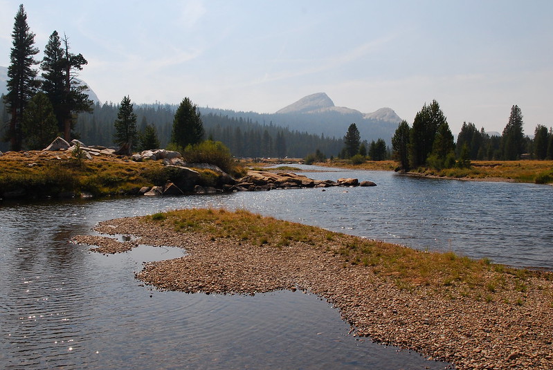
The eponymous meadow.
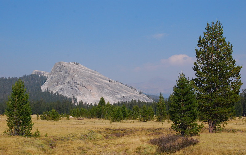
Lembert Dome
At around four we caught YARTs, which took us directly to the Shilo Inn in Mammoth, where we'd be staying for the night. Public transit in the Eastern Sierra is sort of a mess: YARTS will get you to Mammoth, and the Eastern Sierra Transit Authority (ESTA) runs a bus that will get you from Mammoth to Lone Pine. However, the two schedules do not link up. At all. And so, if you're going south, you pretty much have to spend a night in Mammoth. Or hitchhike.
Exhausted from the drive, we wandered out for dinner at the fantastically named Nik-N-Willies Pizza-N-Subs, where a ten year old boy very professionally took our order. We ate in the hotel room watching some crime drama, and were asleep something like forty-five minutes later. At eight.
The next day, we woke up early to catch the ESTA shuttle. At the bus stop, we encountered the first of the Wildfire Smoke Doomsayers. The stop was crowded with maybe half a dozen dudes, all in their mid-forties, all with massive packs, all from far away, and all having quit their southbound trips at Red's Meadow due to what they took to be apocalyptic smoke from the Rough Fire, southwest of Yosemite. One southern dude, who I'll call Mr. Pufferfish, spent a good ten minutes aggressively trying to convince us to cancel our trip right then and there. If it was too much for him, how would we ever make it!? Especially, he seemed to imply: how could Krista make it? I mean, she's a woman! It was weird and patronizing and not so subtly sexist. Apart from one or two isolated encounters, that sort of nonsense never happens around Portland. But it happened on the JMT over and over. Strange.
On the shuttle, we listened to the Doomsayers tell increasingly outlandish stories to each other about their heroic battles with the smoke. Mr. Pufferfish, it transpired, had wrestled a knife out of the smoke's hands, heroically protecting his wife and twenty kids. Eventually, though, we got to Bishop, where some more reasonable hikers got on, who told us that, yes, the smoke was there and sometimes tough, but that it was also variable, and that, as ever, we should hike our own hikes.
The shuttle dropped us off at the Lone Pine McDonald's, where Krista loitered for an hour while I hitchhiked a few miles down to road to the Eastern Sierra Interagency Visitor Center to pick up our permits.
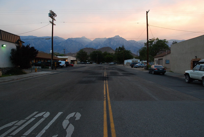
The rest of the day was spent lounging around the hotel and eating BBQ. The smoke rolled in and out, but man: Lone Pine's a pretty place.
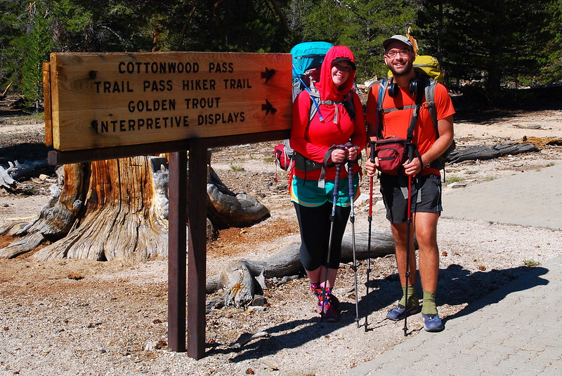
Day 1 (Aug. 25, 2015): Horseshoe Meadows to Chicken Spring Lake
Cottonwood Pass Trail + PCT750-751
We had reserved a ride from Paul at Eastside Sierra Shuttle for around eight forty-five, and the dude was fifteen minutes early, apologizing for being late. After gingerly securing our packs to the top of his minivan, we weaved our way up toward the Horseshoe Meadows Trailhead while Paul explained about the wildflowers and trees in the area. I guess the guy's a school teacher. We told him about the smoke, and he sort of laughed it off. Sequoia and Kings National Parks had asked their rangers to leave a few days earlier, but he didn't seem to think it'd be much of a problem. "Maybe they're just tired." And the sky was totally clear.
An hour or so later, he dropped us off at Horseshoe Meadows, and we both gulped. Here goes nothing.
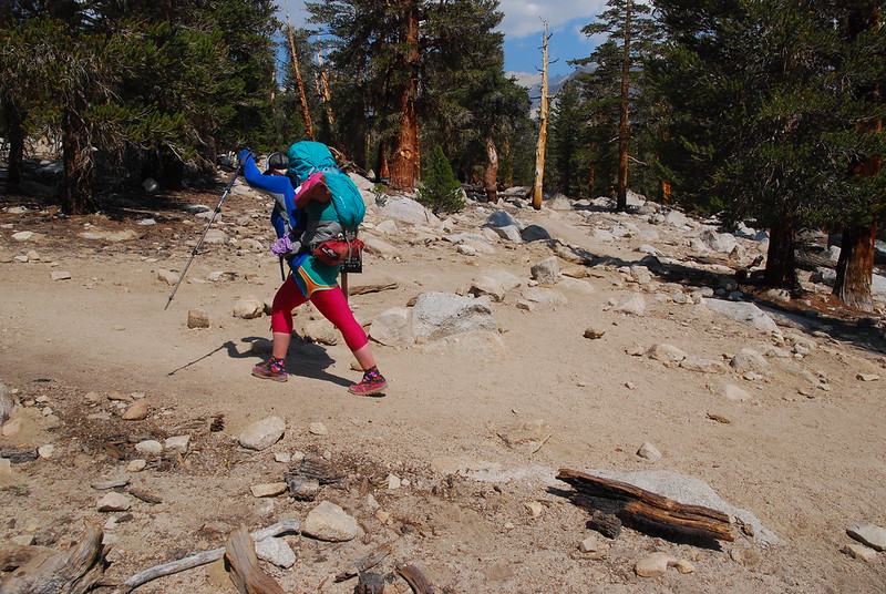
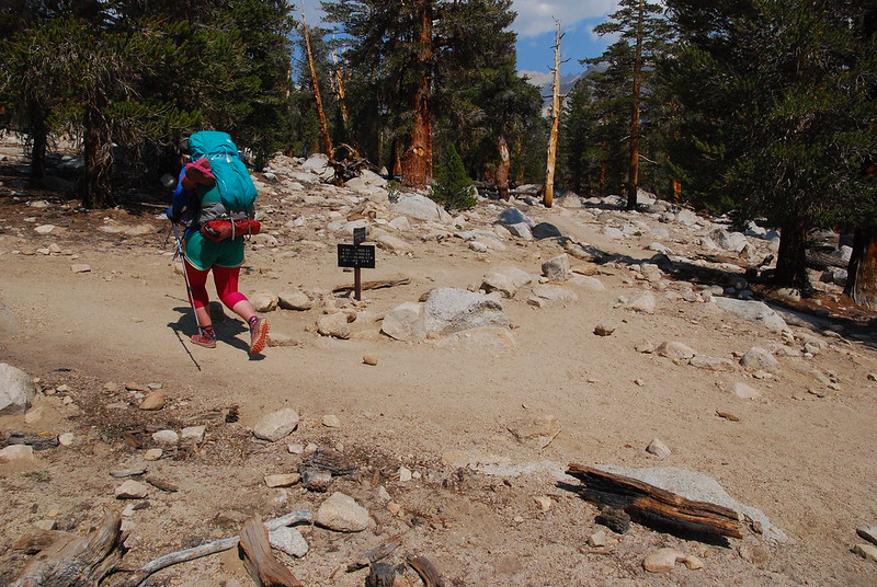
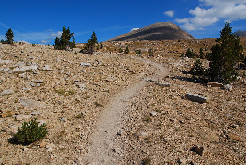
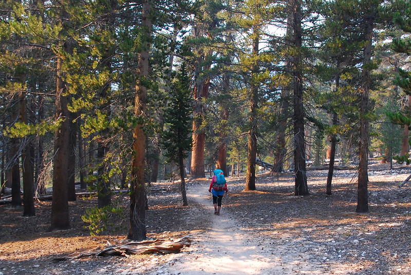
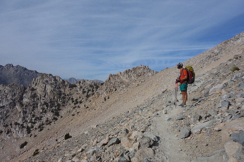
The trail from Horseshoe Meadows to Cottonwood Pass is very gentle, gaining just a few hundred feet. It shouldn't even really be called a pass. But we both were having a rough go with the elevation - the pass is something like twelve-thousand feet above sea level - and so it was slow, slow going.
Looking back toward Horseshoe Meadows.
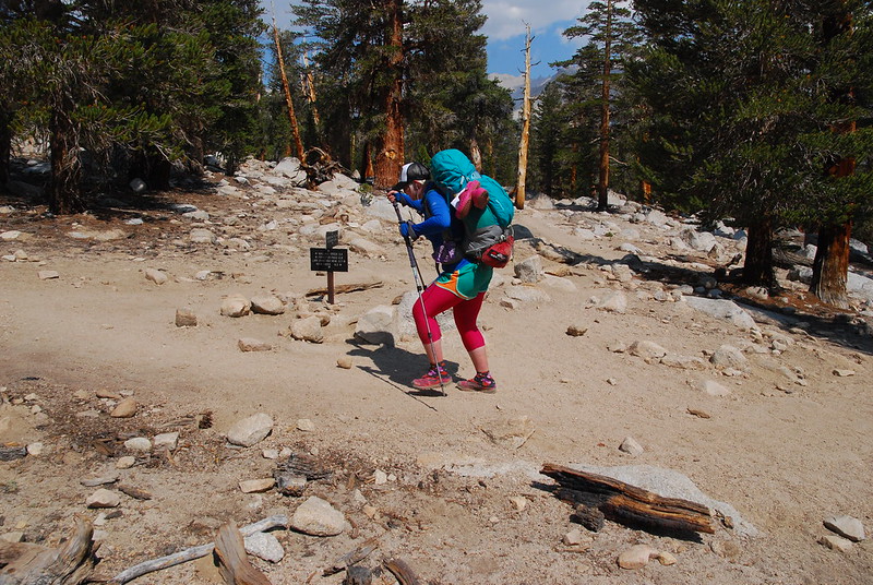
I reached the pass a touch before Krista, and waited for a while. Then waited for a while longer. Just as I was starting back to look for her, she came stumbling up. She'd passed out a few switchbacks below. She'd had enough time to sit down, and it was just a few seconds, but it was enough to scare us both pretty badly, and we decided to stick together for the next couple days, just in case.
The view east from Cottonwood Pass.
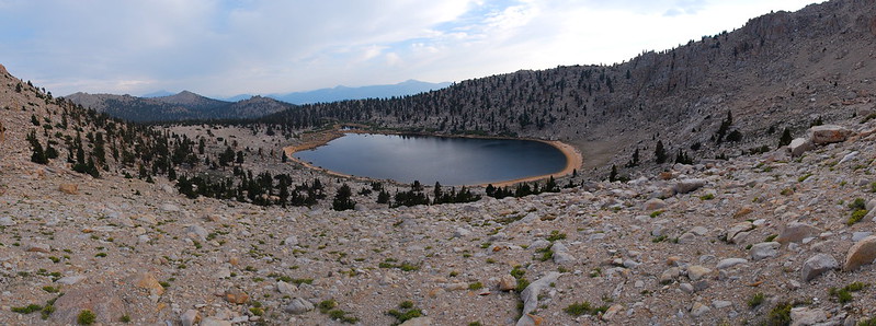
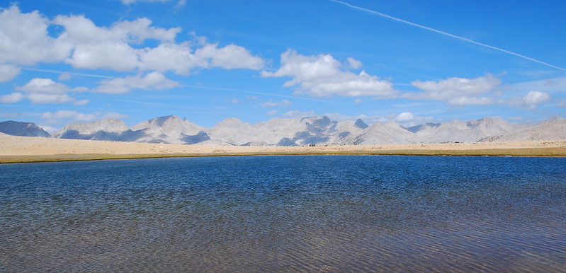
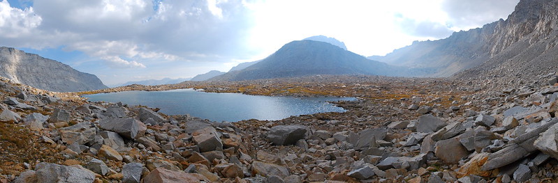
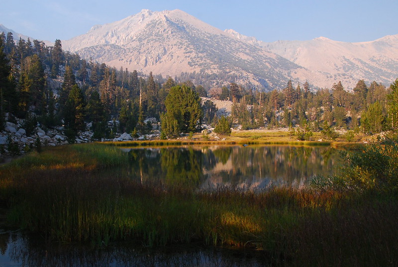
From the pass, it was only another mile or so to Chicken Spring Lake. I didn't know what to expect, and had sort of prepared myself for nothing much - a short stop off on the way to better things - but it was beautiful. For the first but certainly not last time, I was reminded of the Alpine Lakes in Washington.
We'd made it to camp quite early, especially by our standards, so I took a dayhike around the lake, and up a bit to get a better view.
We made macaroni and cheese for dinner - comfort food, as we were both pretty nervous about what was to come - and turned in early, exhausted by the last few days of traveling.
A few hours later, maybe around midnight, I was woken up by my own heart beating. My head was pounding and it felt like I couldn't really breathe. I tried to relax, breathed slowly and deeply, and a couple hours later it faded away. I guess the altitude sickness somehow got delayed on its way to me.
Day 2 (August 26, 2015): Chicken Spring Lake to Rock Creek
PCT751-760
We hadn't exactly planned to, but we slept in the next morning, more at my urging than anything else. My breathing and everything felt better, but I felt sort of hung over from the whole thing, and felt a little weighed down as we rambled around doing camp chores, filtering water, and finally making some coffee and oatmeal.
There's a nine mile water carry north from Chicken Spring Lake to Rock Creek, and we decided to change our schedule a bit - we'd initially planned to get to Guyot Creek, a couple miles beyond Rock Creek - on account of the altitude junk, and just go until we hit first water.
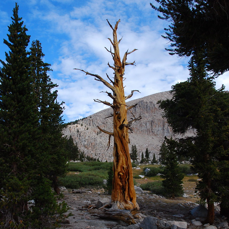
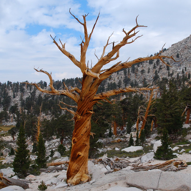
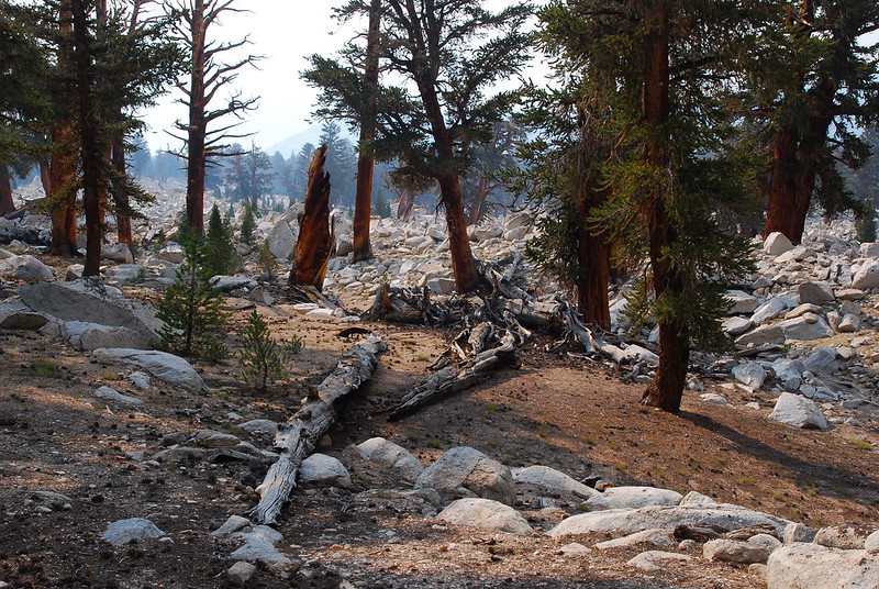
Most of the trail was through thin, sort of nondescript forest. There were though these lovely bare trees.
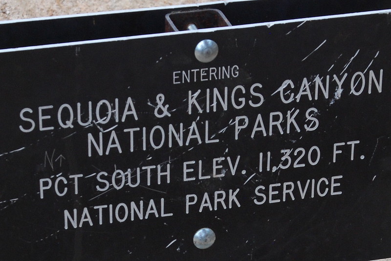
After several sandy miles, we entered Sequoia National Park.
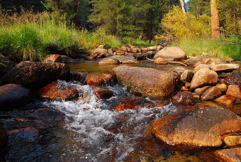
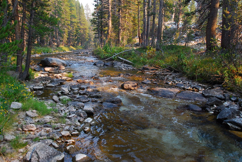
And, after several more sandy miles, we descended down to Rock Creek. It was beautiful - already dressed in its fall finest.
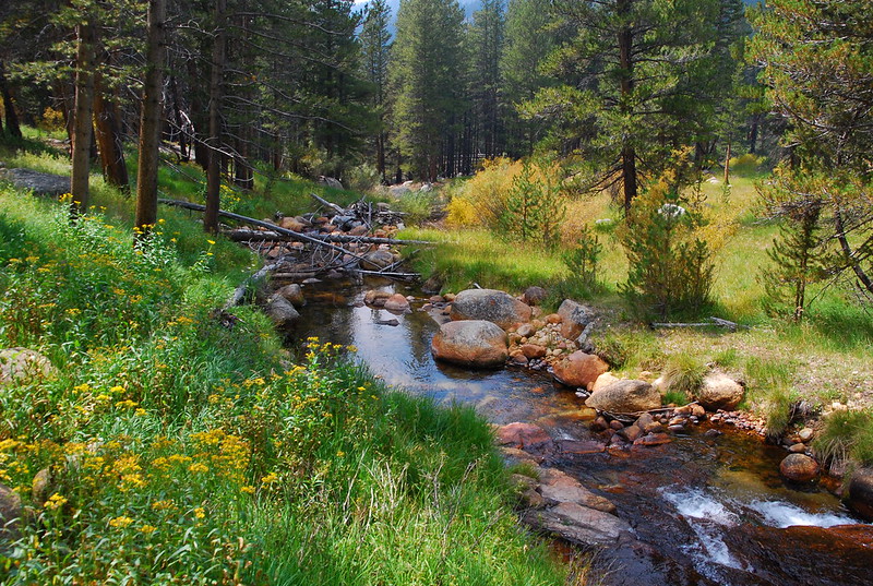
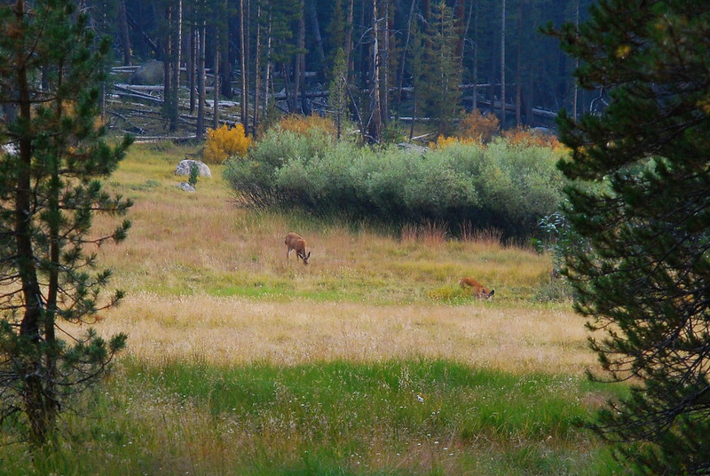
We set up camp, took (very!) short baths in the stream, washed some clothes, and just generally lazed around until dinnertime, when we rambled over to the edge of a nearby meadow to eat in the company of our first deer. I think we were a lot more interested in them than they were in us.
After dinner, we went to bed early again, tired, but feeling more and more like ourselves.
Day 3 (August 27, 2015): Rock Creek to Wallace Creek
PCT760-770
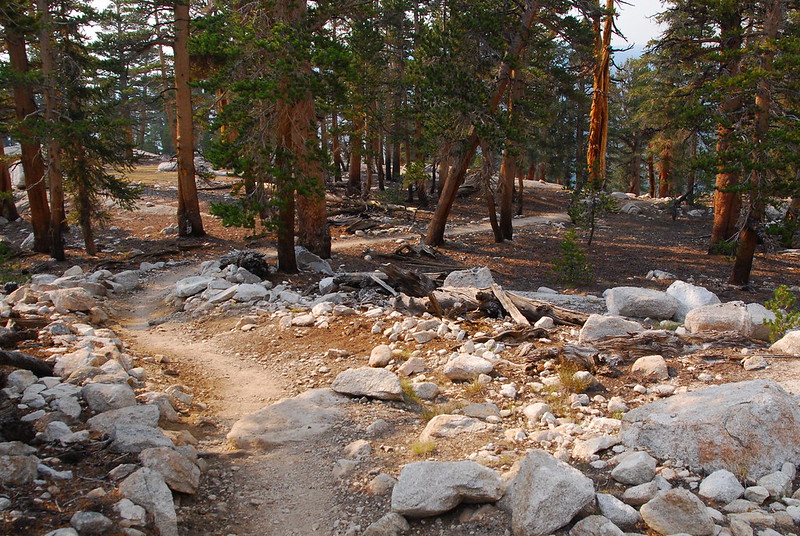
The next day began with a few thousand foot climb to Guyot Pass, which may or may not actually be a pass. (It's marked on our National Geographic map, but not on Halfmile's otherwise very reliable PCT maps.) Whatever it was, walking up it felt good for the first time in the trip, and I was so, so happy to have my trail legs back.
Looking back the way we came.
Same.
After the pass, we met the first in a series of wonderful characters we'd talk to throughout the trip. His name was Bill, and he wanted us to take his photo as evidence of the size of his (huge!) pack.
He was doing what we later realized is a pretty popular traverse, from Mt. Whitney to Crabtree Meadows, then down from Crabtree to Horseshoe Meadows. He said he'd been considering hiring mules - price, apparently, wasn't an issue, "because I'm rich" - but decided to go self-supported for the bragging rights. I instantly and unreservedly liked him for reasons I can't explain.
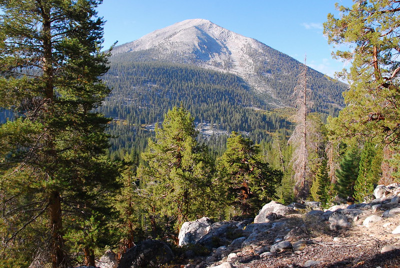
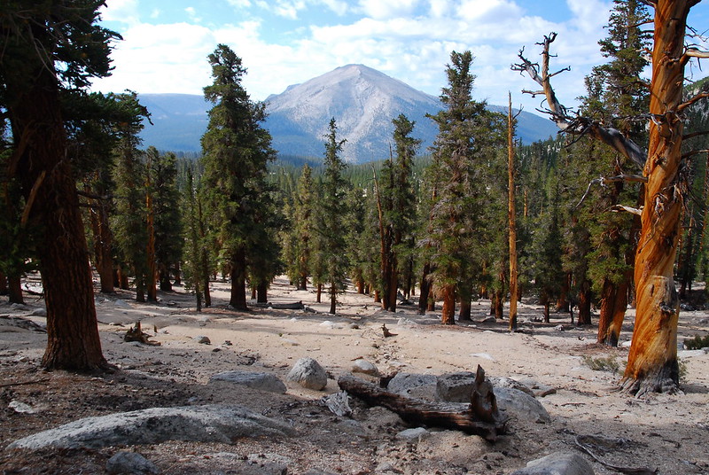
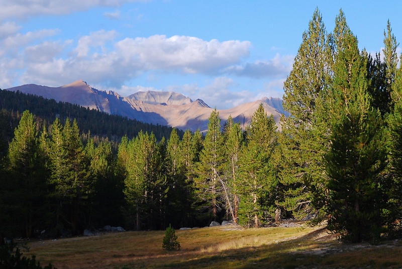
After meeting Billy Rich, we began the descent down to Crabtree Meadows, and our first real views of Whitney and Co.
We had lunch near Whitney Creek - our first, and last, experiment with cold-soaked freeze-dried beans. Good view though.
From there, it was just a little under a mile until we joined the JMT proper (up to this point, we'd been on the PCT). Krista was stoked...
... and so was this dude, though his reasons may have been a little different.
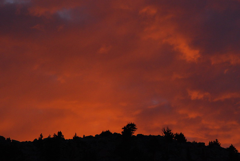
A thin layer of smoke rolled in around four, and made the whole place feel like some spooky movie set. We called this area, just south of Wallace Creek, "The Boneyard."
Still a little tired from the last few days, we stopped early again, making camp up a faded side trail near Wallace Creek. Before dinner I sat for a while with my feet in the cold creek, feeling lucky to be out, despite it all.
Day 4 (August 28, 2015): Wallace Creek to Forester Pass
PCT770-779
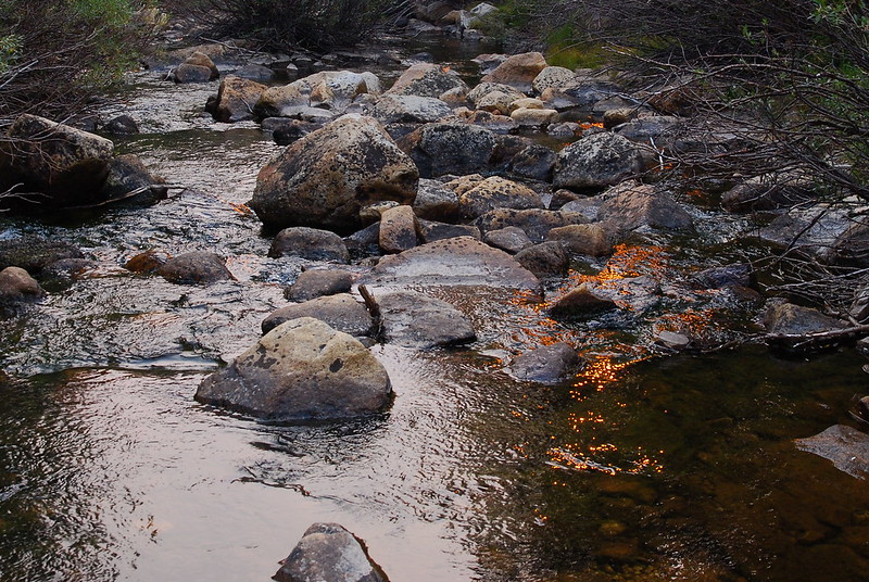
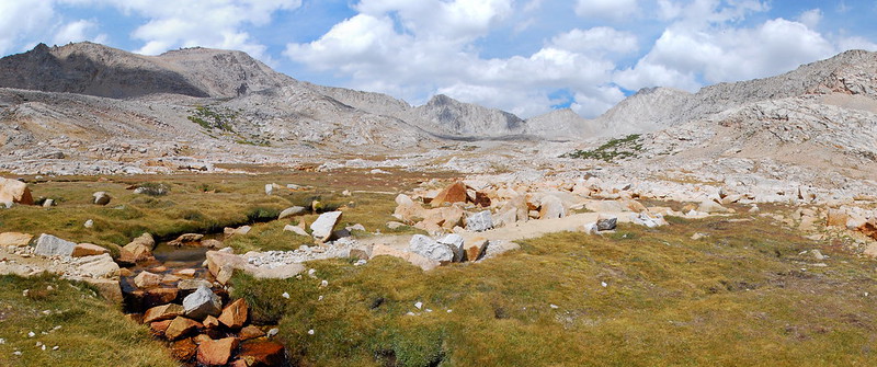
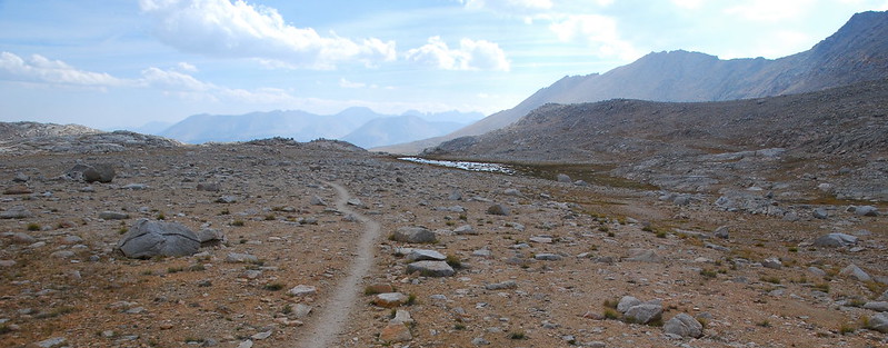
We both woke up feeling wonderfully, and quickly made our way through the clear air to Wright Creek for breakfast.
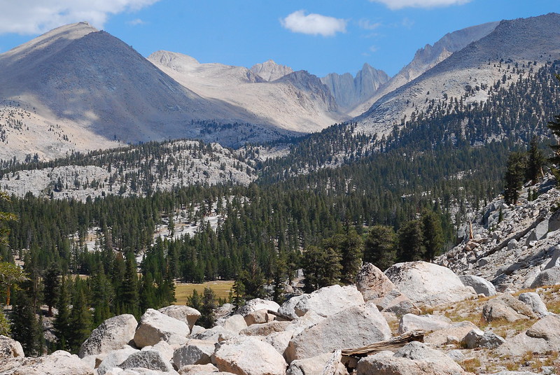
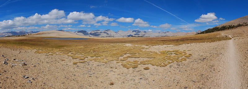
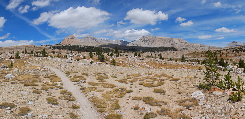
Then on to the Bighorn Plateau, a large, flat stretch of trail between Wright and Tyndall Creeks. It was one of those places where you take a million pictures and still don't seem to capture a speck of it.
On top of the plateau, there's a shallow pond. It would be such an incredible place to camp.
On the far northern side, there was a small clump of trees, the first we'd seen in a while, where we stopped to enjoy the shade and a snack. A few minutes in, we were joined by a couple of affable Australian guys, who'd, luckily for them, just missed a rather titillating (or, more probably: horrifying) Body Glide routine I'd been working on for the last few days.
We chatted for a while, and they told us that the nice thing about being Australian is that you don't know what American plants are poisonous, so you just go around eating whatever. Earlier in the trip they had apparently eaten a very large mushroom, which may or may not have been fit for human consumption, and just a few days earlier had cooked a small fish they'd caught in some butter from the hiker bins at Muir Trail Ranch, which may have actually been skin lotion. Again: I instantly, and unreservedly, liked the guys.
But eventually we said our goodbyes, as they continued on their quest for a pint of cream, and we continued on ours for... Tyndall Creek?
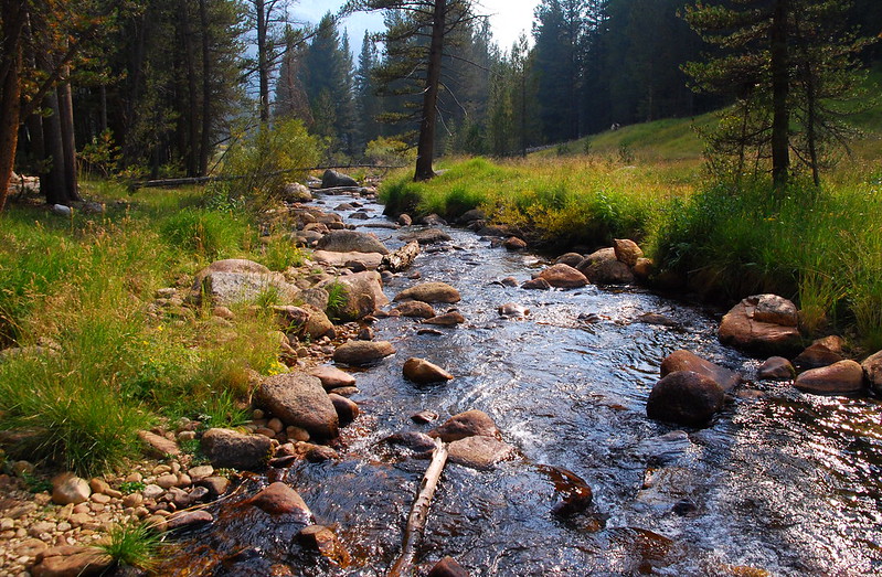
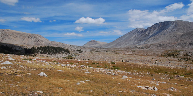
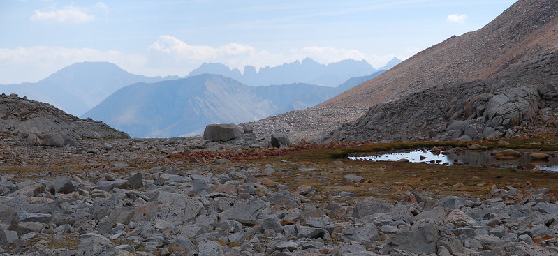
Tyndall Creek turned out to be an unexpectedly gorgeous ribbon of water gushing from some unseen lake to the northeast. We took another break.
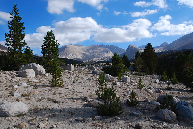
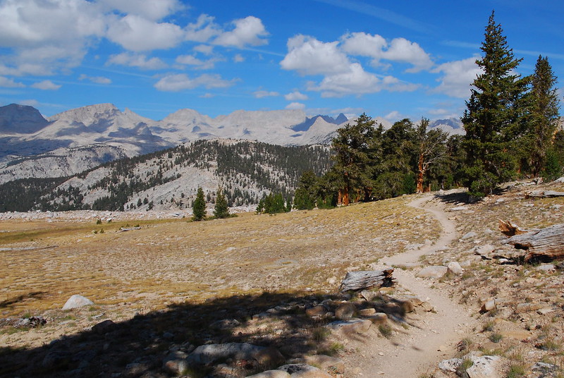
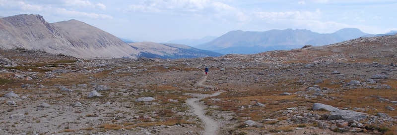
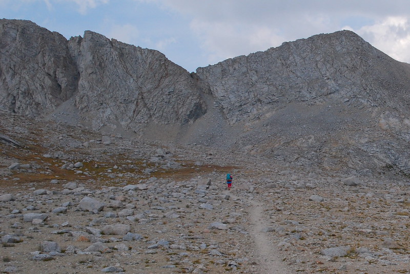
I'm going to end up saying this sort of thing a lot, but the area between Tyndall Creek and Forester Pass was one of my favorites.
As we climbed higher and the vegetation became increasingly sparse, Krista stared at a distant ledge. "You know, if you take away all the vegetation, this is what the universe looks like. It's like, Mars has these hills too. Trees and all that are great, but, without them... this is what the universe looks like."
Nice to have water, though.
We had lunch at a creek, one of may running parallel and crisscrossing the meadows below Forester. Beans again, but this time heated up, with something like six liters of olive oil. It was delicious.
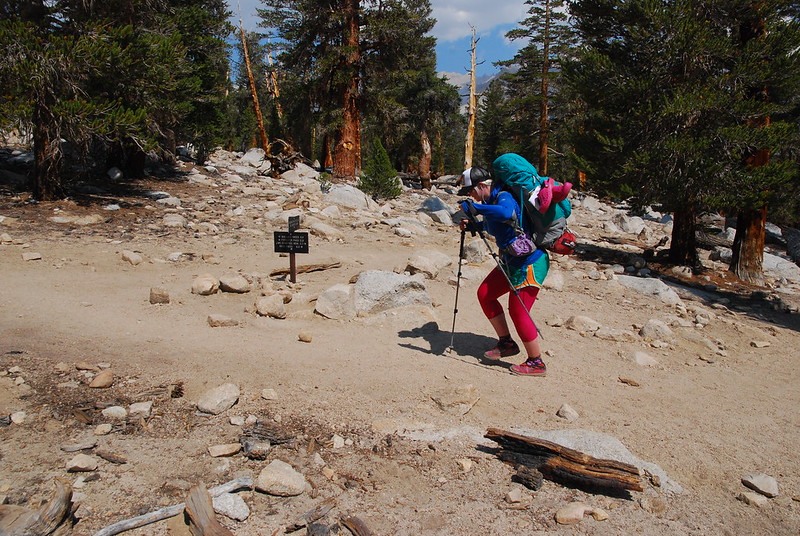
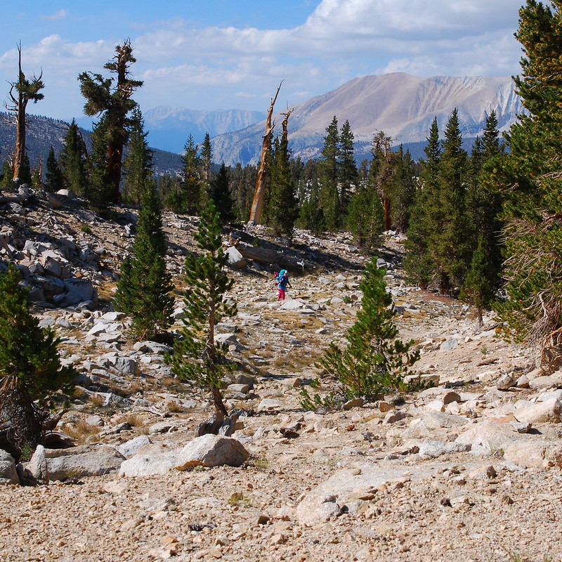
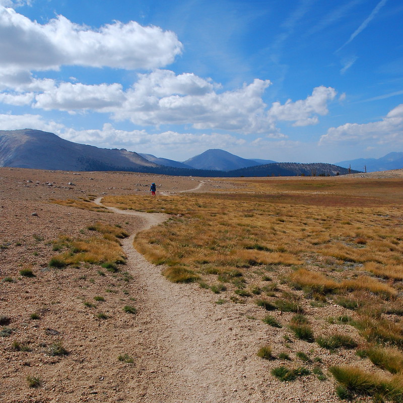
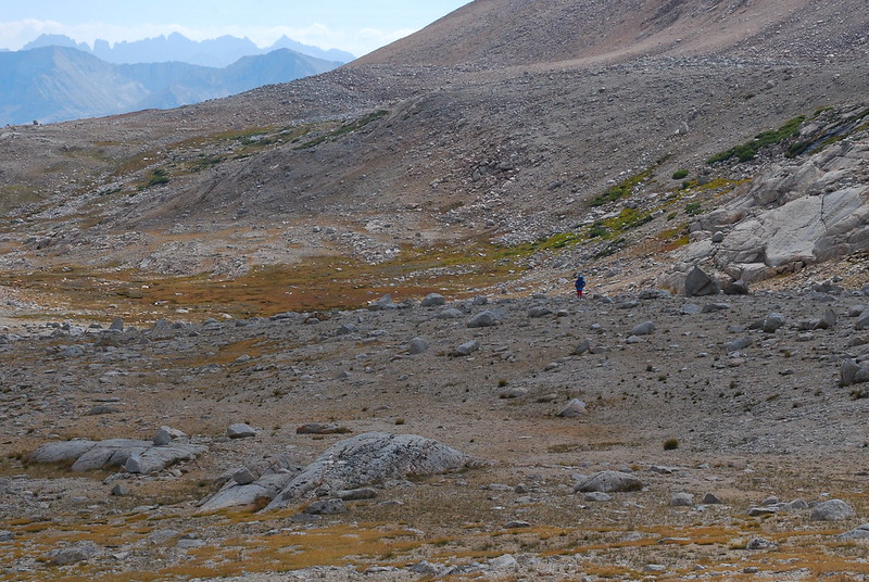
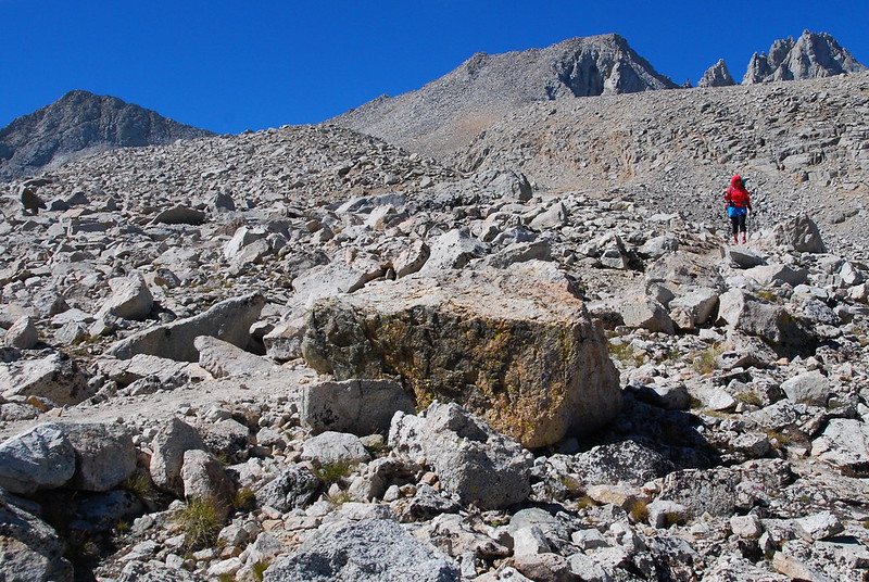
Continuing on, I started to play a game with the photos, hiding Krista somewhere and seeing if I could find her a moment later. I don't want to talk about my final score.
Okay, that's an easy one.
That too!
Better.
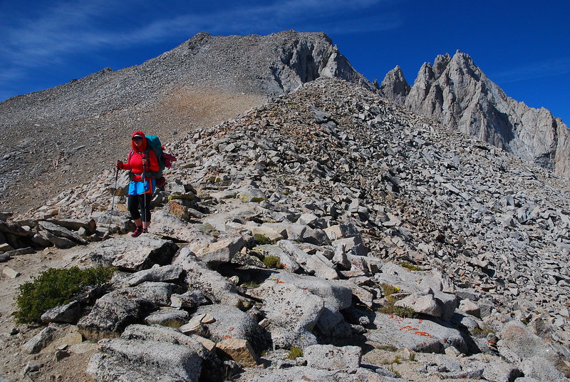
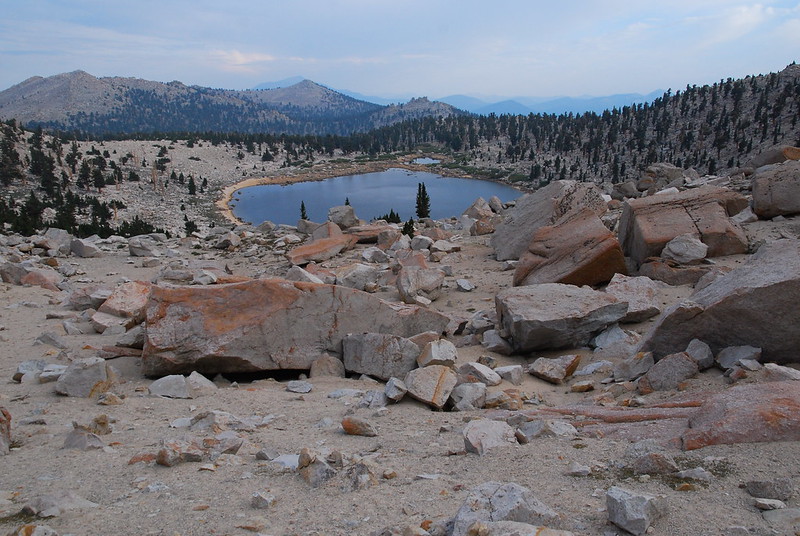
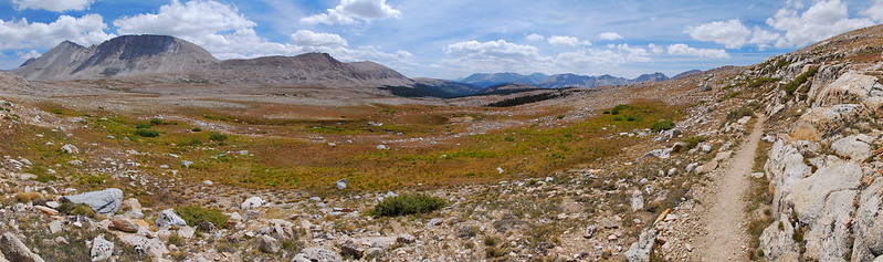
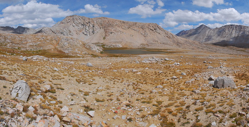
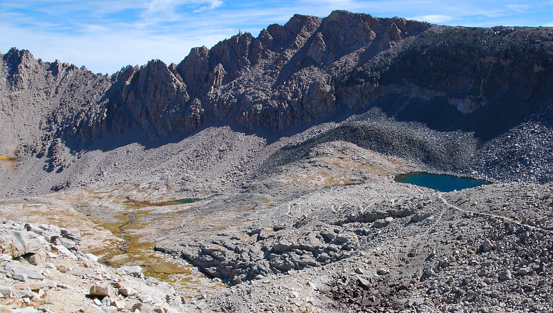
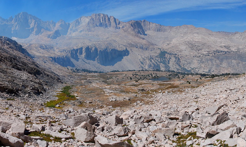
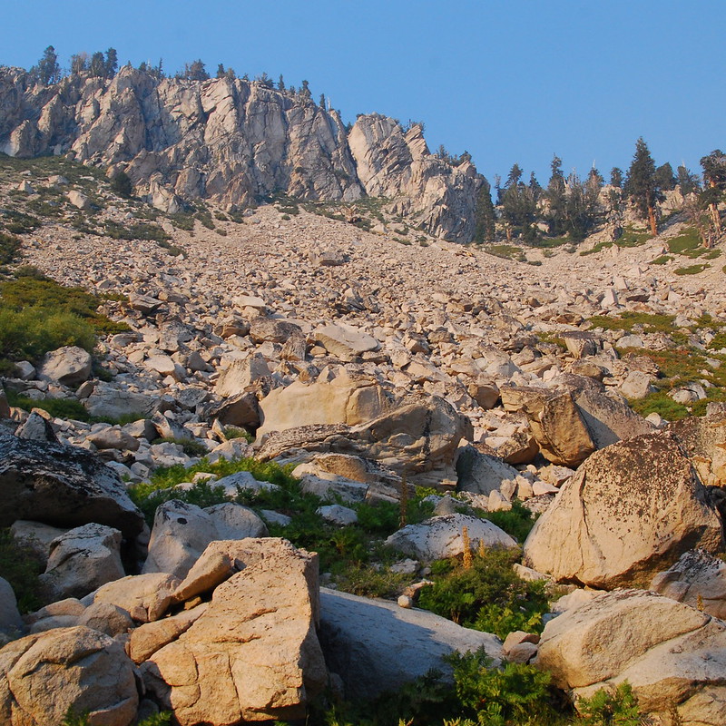
Moving on toward the final steep push over Forester, there was a series of increasingly surreal lakes placed almost haphazardly among the rocks.
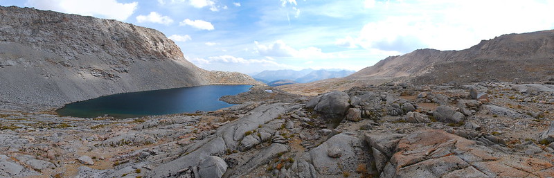
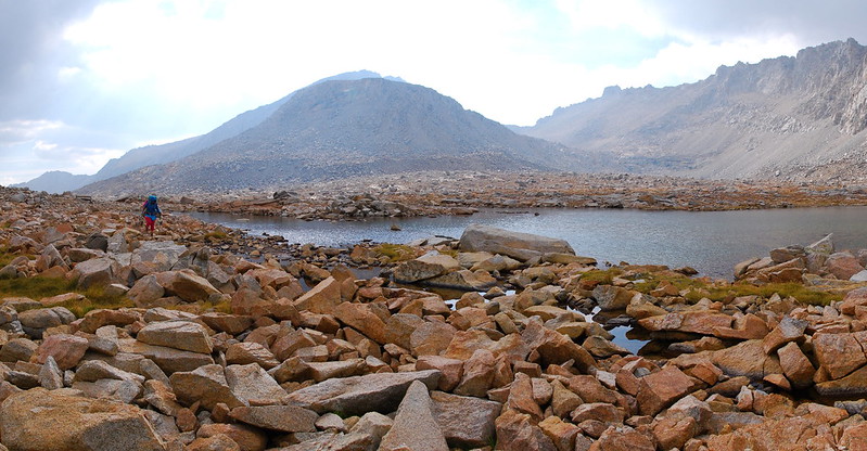
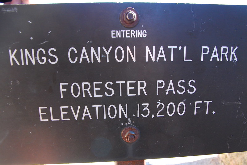
The funny thing about approaching Forester from the south is that, until you're on it, it seems absolutely impossible that anyone could ever build a pass there.
Guide for the Perplexed: it's that little notch in the upper middle.
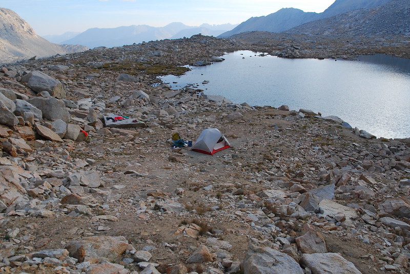
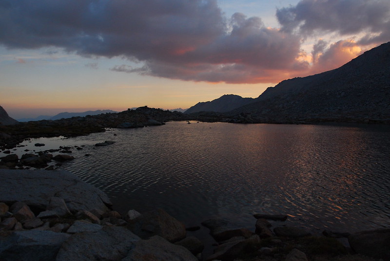
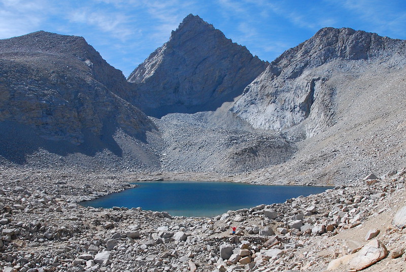
We stopped at the last lake before the pass, in a small clearing just flat enough for our tent. It was just beautiful.
But, of course, I had to go and ruin it with frozen shrieks. Swimming at 13000'!
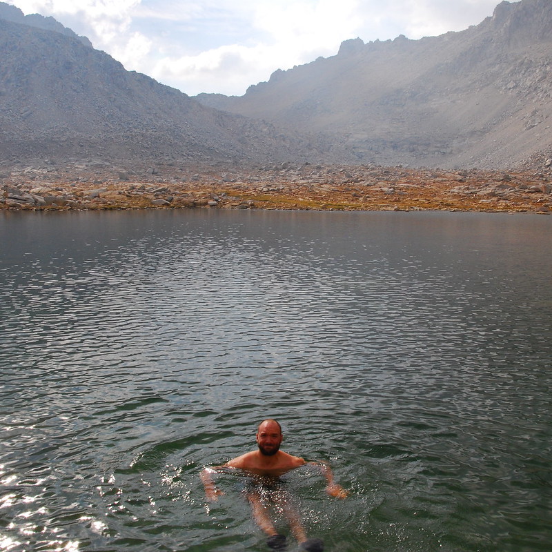
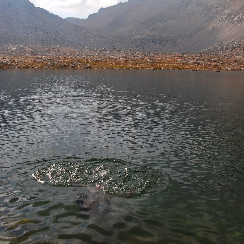
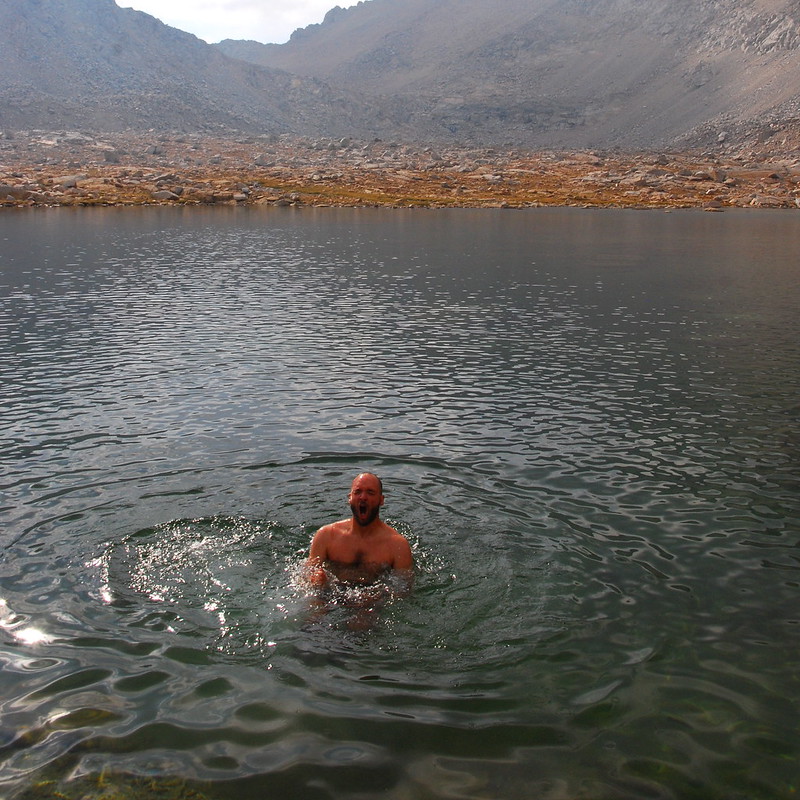
It took a while to thaw things out, but the glaciers surrounding my arms and legs eventually retreated, and we sat among the laughing pikas, eating. I don't remember what exactly we had, but I remember it tasting better than anything I've ever tasted.
Day 5 (August 29, 2015): Forester Pass to Bullfrog Lake
PCT779-788 + a few miles on the Bullfrog Lake Trail
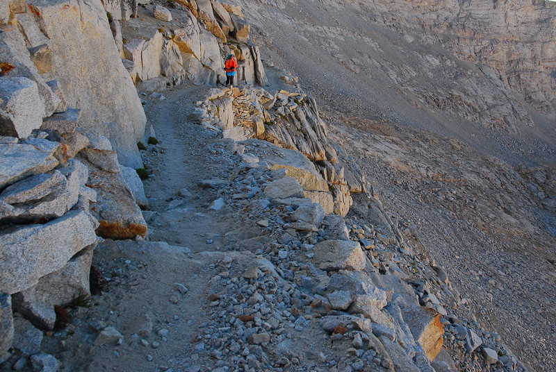
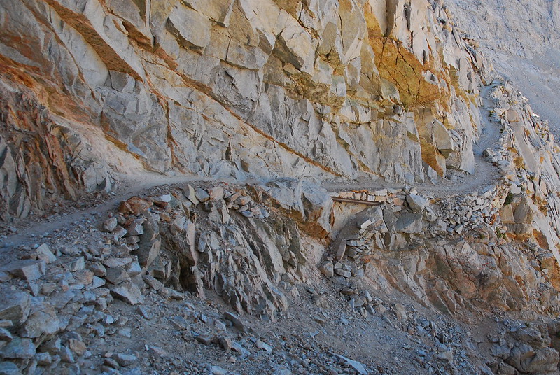
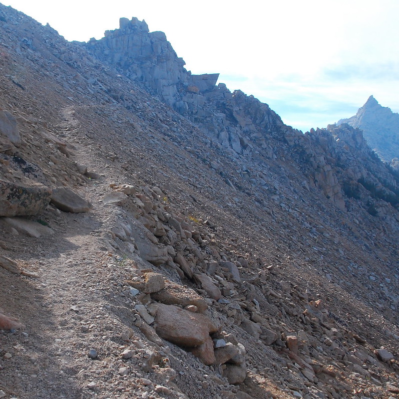
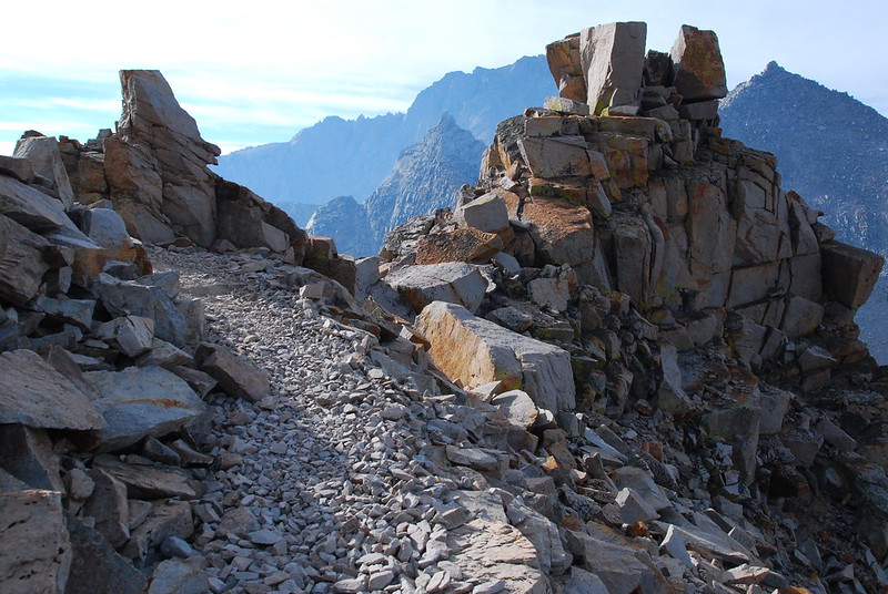
The pass itself ended up being incredibly gentle - probably one of the more gentler passes we went over the whole trip. And the trail was posh. I could imagine the exposure being an issue for someone with a very, very big problem with heights, but otherwise the thing was just pleasant, easy walking. And the views!

"You seeing this!?"
"Yea dude."
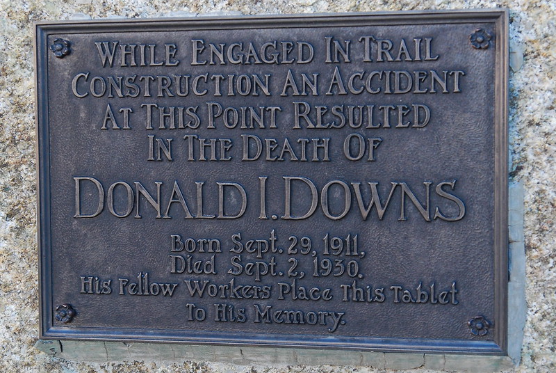
A short ways up, there's a hearbreaking memorial for Donald Downs, a kid who died while working on the trail. You can read more about his story here and here.
Near the plaque, someone's laid some very old tools.
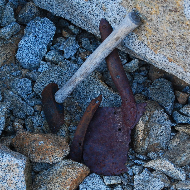
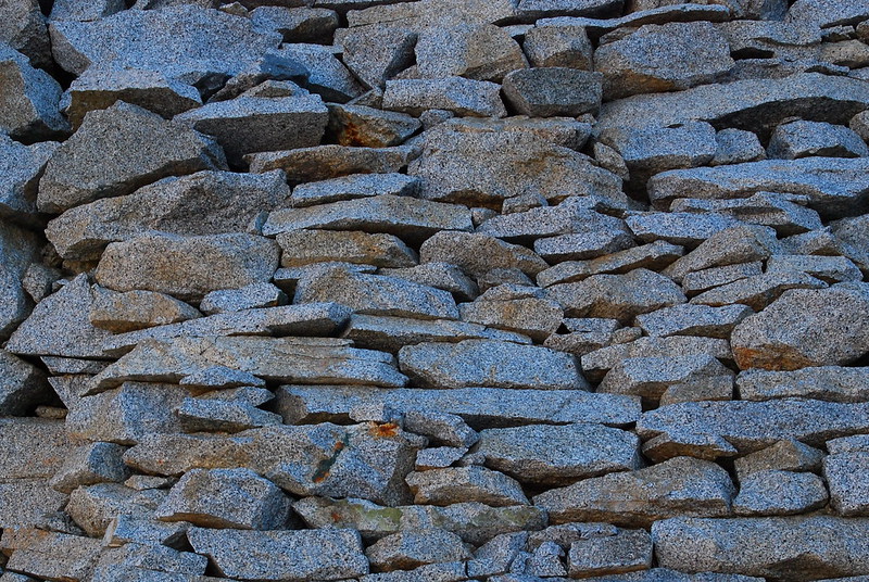
The old rock work, completed almost eight-five years ago, is still going strong.
It's just an amazing trail.
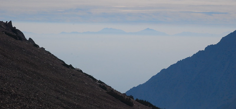
From the top, it was as though we could see the entire world... or, perhaps, the entire universe.
The pass marks the end of Sequoia National Park, and the beginning of Kings Canyon, though, administratively, they seem to be more-or-less the same thing.
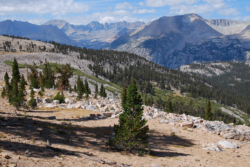
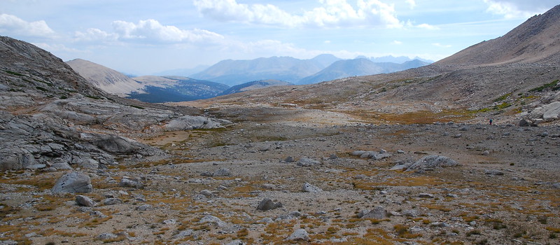
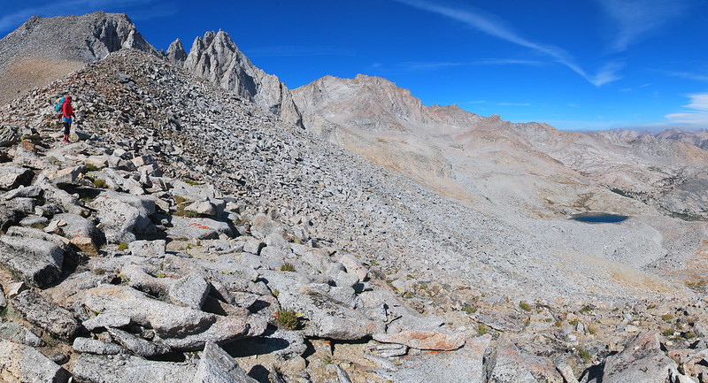
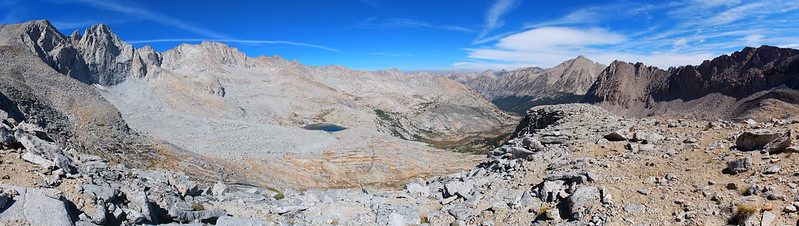
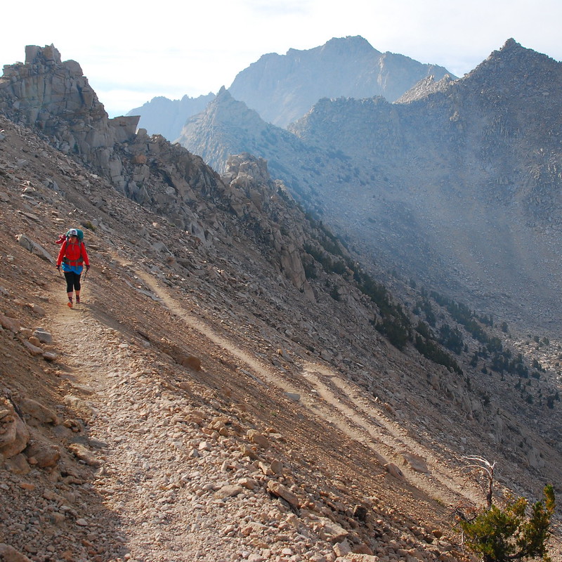
As with the south side, the trail on the north is just incredible...
Switchback!
... as are the views. I think a took a dozen panoramas, just trying to capture everything. I couldn't.
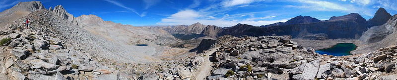
The whole business.
A somewhat smaller chunk of the business.
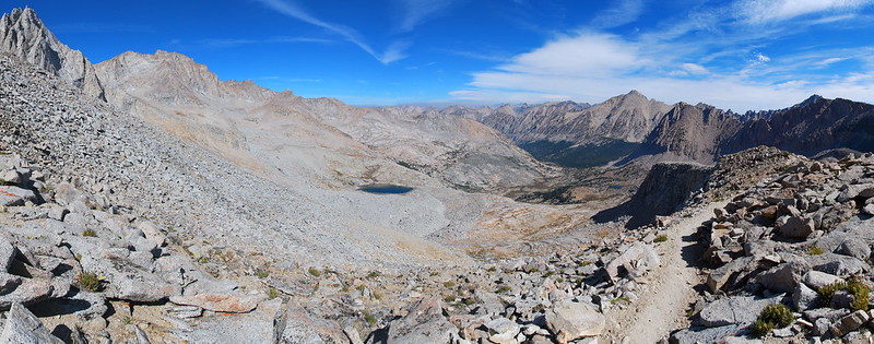
Same.
Heading down toward Bubbs Creek...
... if I ever stop taking so many damn pictures.
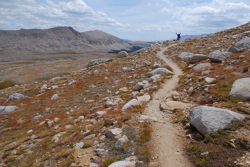
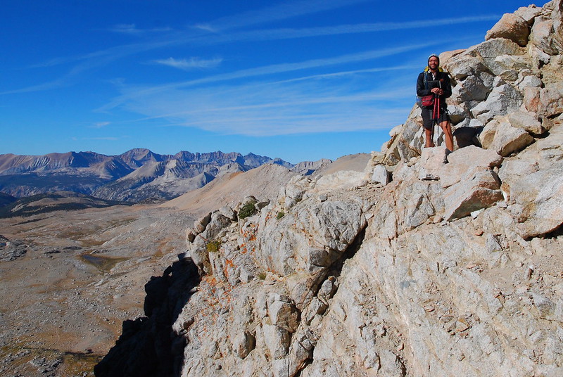
Find the Krista!
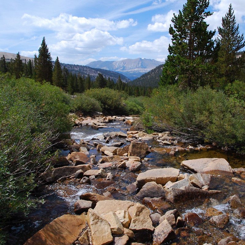
As we descended, the smoke came up to meet us. We stopped for breakfast near a small meadow and stream, then continued on to Bubbs Creek.
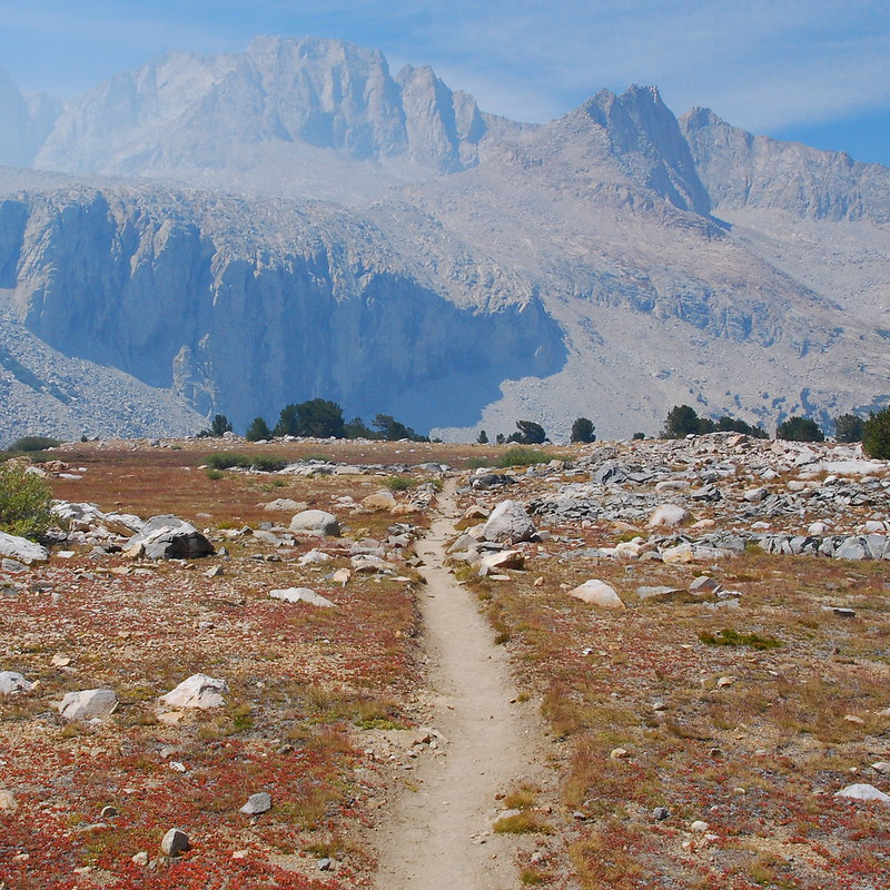
The trail along Bubbs Creek itself is sort of boring. I mean... it's actually really pretty, and anywhere else it would be the highlight of a trip. But here it was a good opportunity to put our heads down and cruise for a while, down to Vidette Meadow.

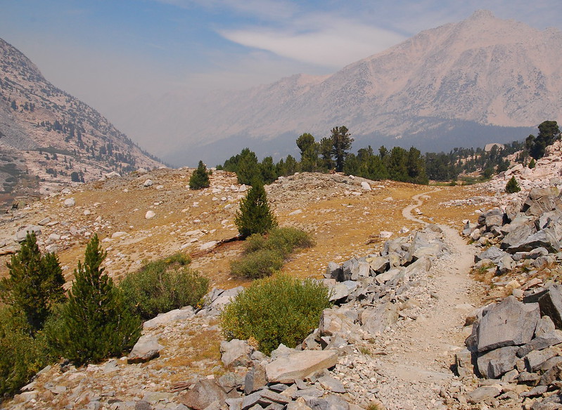
After Vidette, the trail climbs a bit to get out of the Bubbs Creek drainage. As we ascended, the smoke began to clear, and we could see everything we'd been missing.
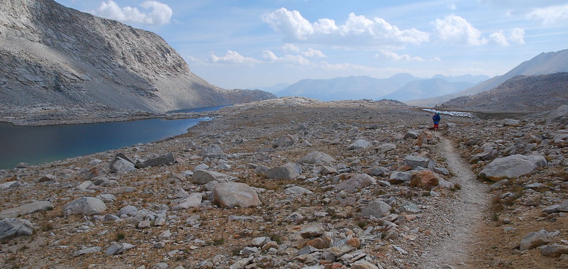
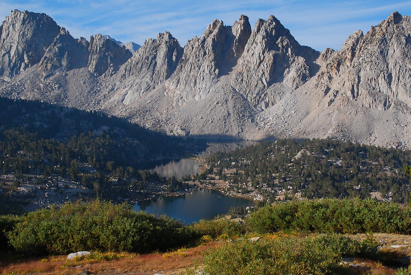
After the climb, we turned off the JMT for the first time in several days, heading east toward a planned resupply in Independence. We were immediately met by Lower Bullfrog Lake.
And Upper:
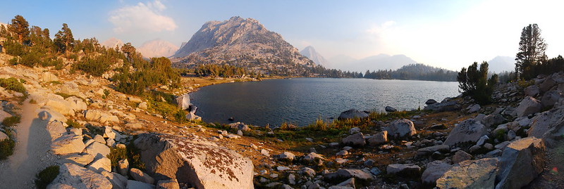
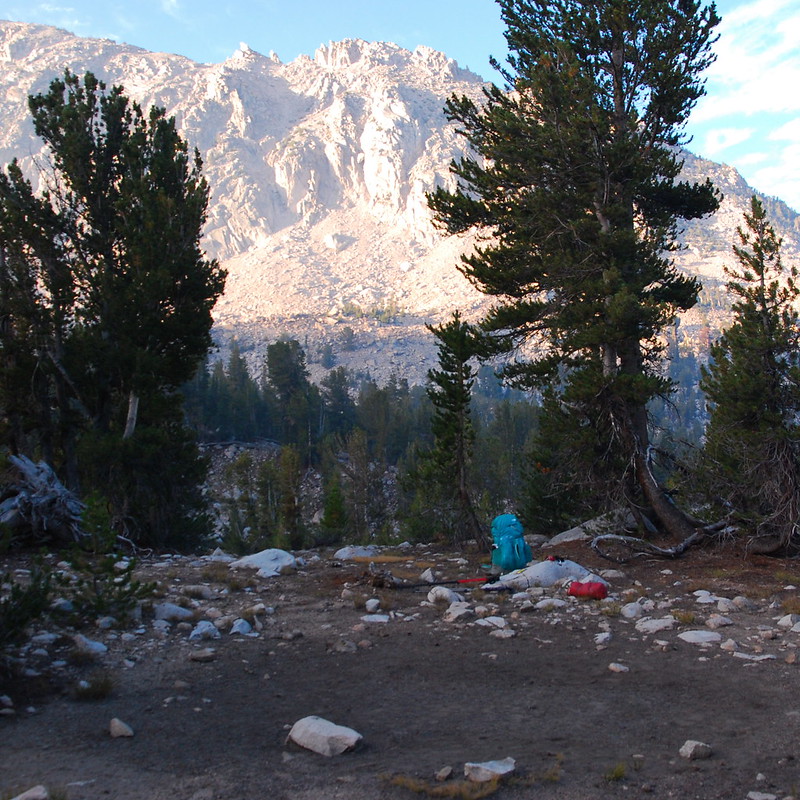
Camping is prohibited at Bullfrog Lake proper, so we found a spot maybe three-quarters of a mile later, on top of a small ridge just north of the trail. Perfect.
Day 6 (August 30, 2015): Bullfrog Lake to Onion Valley and Independence
A bunch of miles on the Bullfrog Lake and Kearsarge Pass Trails
We'd arranged a ride from the Onion Valley Trailhead at one, so we woke up early-ish, just to make sure we could get there even if something happened. As with most mornings, it was completely clear, and we got good views of the Keararge Lakes, just east of Bullfrog, which had been obscured the night before.
Kearsarge Pass is, like Forester, daunting from far away, but actually pretty nice once you're on it.
Strangely, despite it being totally clear where we were, Independence was completely covered by a thick layer of smoke.
We descended down all the same, and made it to the trailhead with a couple hours to spare. We sat in some no parking section near the Onion Valley Campground, making breakfast and drinking tons and tons of (free! potable!) water for the next couple hours, until our ride - a likable guy from the Mt. Williamson Motel - showed up, bearing a couple of tangerines he'd picked himself to give to us for the ride down.
We spent the night that night at the Williamson Motel, which is run by Strider, a wonderful woman who hiked the PCT a while back, and now runs the place as a hiker-friendly basecamp for JMT and PCT hikers. It's probably the nicest hotel - hell: probably the nicest customer service - experience I've ever had. Strider did our laundry, cooked us breakfast, chatted about the trail. In her spare time, she does custom resupply services for thru-hikers, and donates the money to the Sierra Nevada Bighorn Sheep Foundation. If you have anything even resembling the occasion, go there.
The only downside about Independence is that there's not a lot there: a Subway, a couple gas station, a burrito cart that was closed when we were there, and an apparently pretty good French restaurant where you'll apparently also wait anywhere between one and three hours for your food. We just kinda felt like relaxing on the couch, so we got lunch from Subway and dinner from a gas station (frozen pizza is pretty amazing after a week of freeze dried nonsense), then turned in early, wanting to take as much advantage of the comfortable beds as possible.
More in Part 2.