Opening picture: Goat Creek emerging from Goat Lake.
Krista and I spent yesterday in the Goat Rocks, doing the Goat Lake loop almost exactly as it's described in the Field Guide, though we did it clockwise. In short: the whole route's snow free (of course); the flowers are excellent from around 6000' on the west side of Goat Ridge to a bit north of Snowgrass Flats but fried everywhere else; apart from a few areas in the woods, bugs aren't bad at all; and the area's just as overrun with people as ever.
Goat Lake
The weather looked looked most hopeful for a few hour stretch in the late morning and early afternoon, so we got a late-ish start, leaving Portland around six-thirty and arriving at the Snowgrass Flats Trailhead a little before ten.
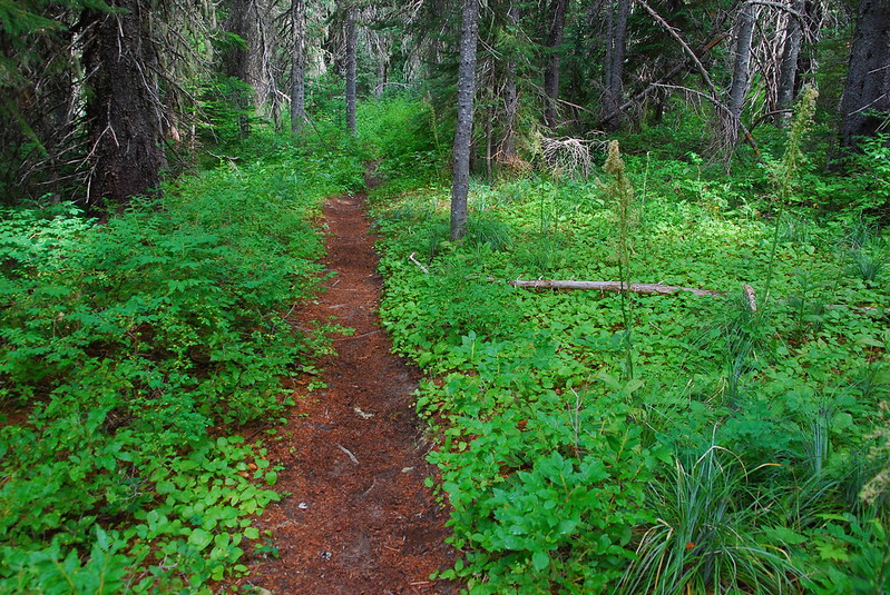
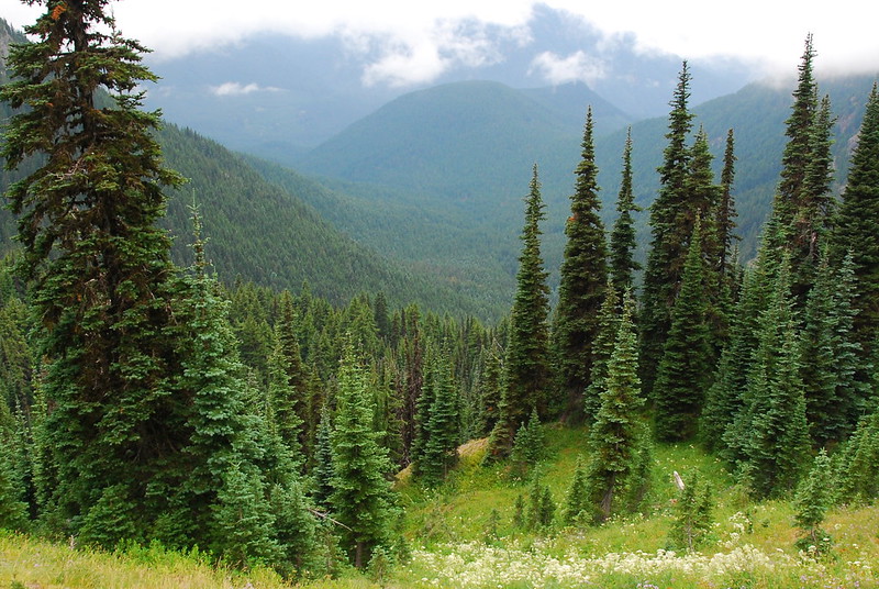
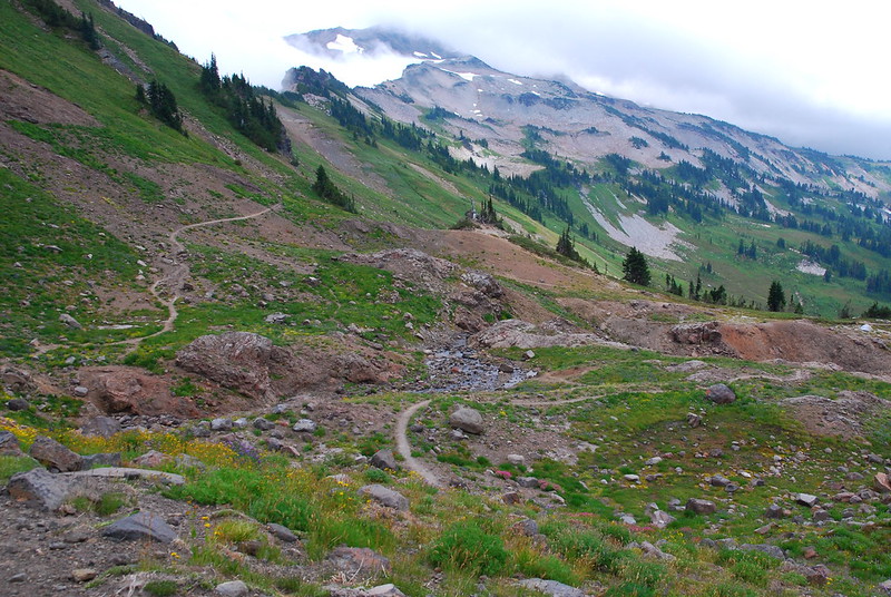
From there, we took the quick connector ("horse": #96a?) trail to Berry Patch Trailhead, then continued up the Goat Ridge Trail (#95) up through largely anonymous forest.
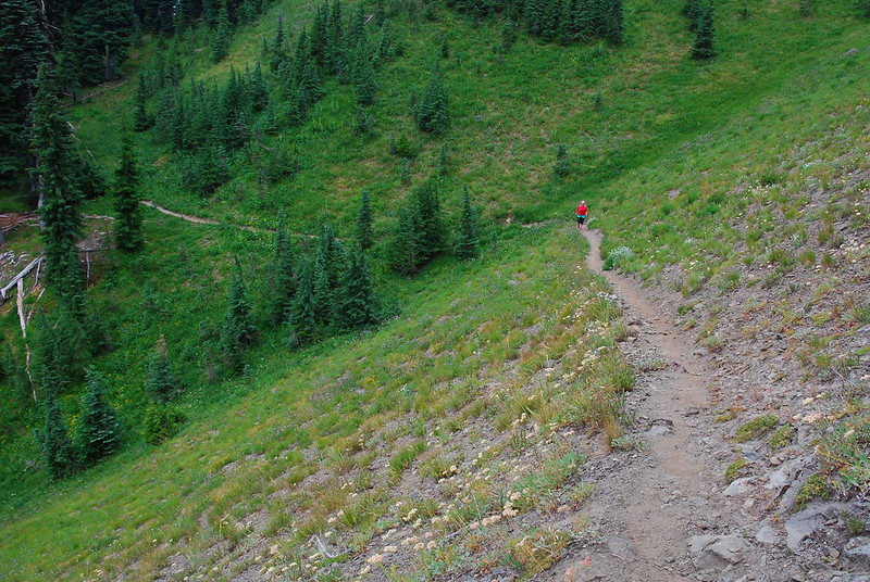
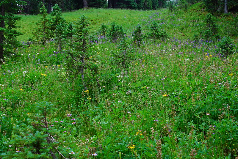
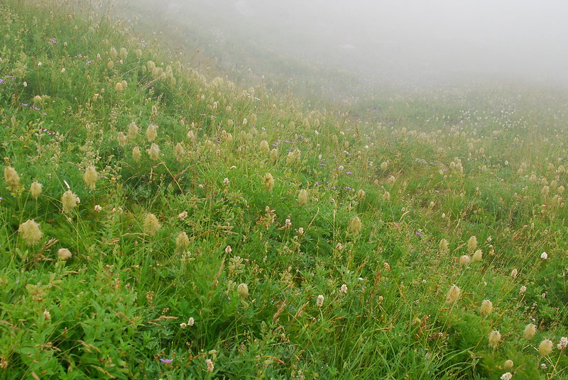
Around 6000', the trail opened up a bit, and the flowers came out. They were all a little past prime, but I suspect they'll still be pretty good for a while.
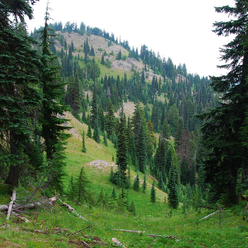
One of the lumps on Goat Ridge.
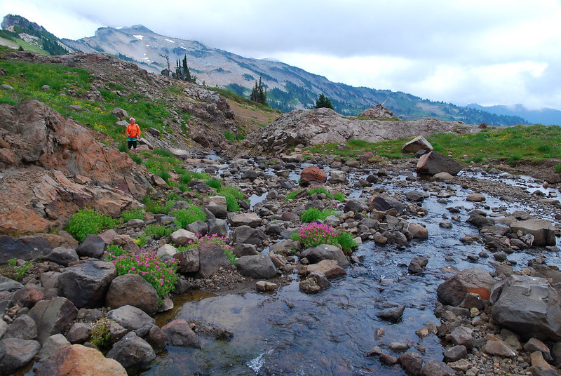
Krista.
The beginning of the flowers.
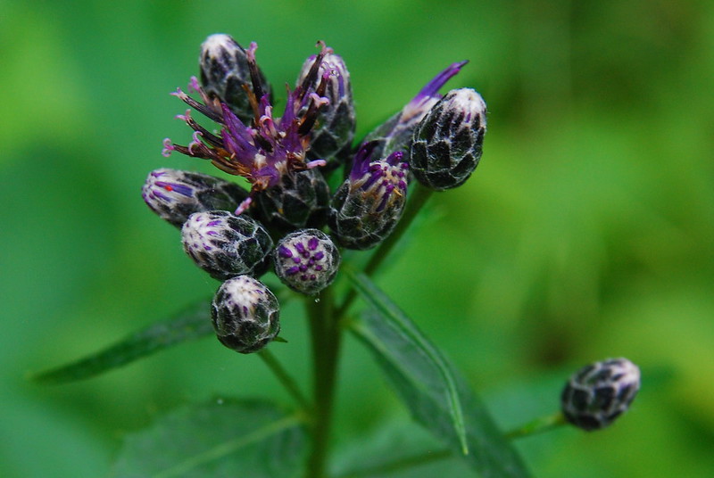
Not sure #1
The same, I think...
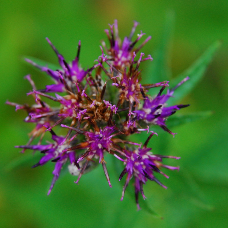
Not sure #2
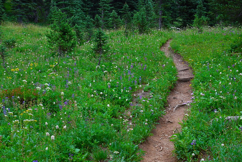
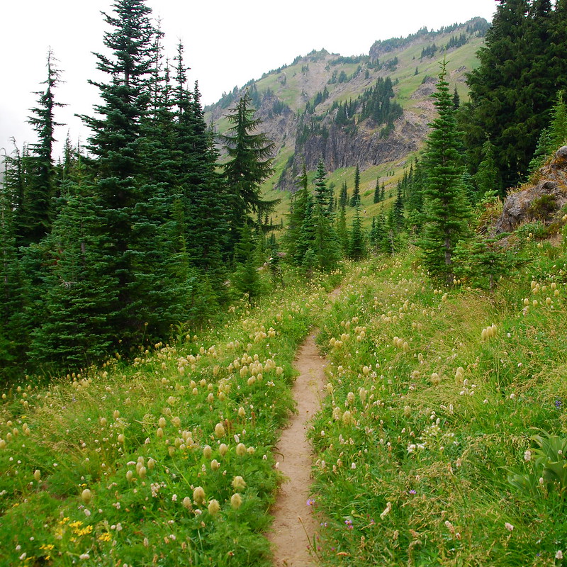
As we continued up the Goat Ridge Trail toward the headwaters of Jordan Creek, the flowers just got better and better.
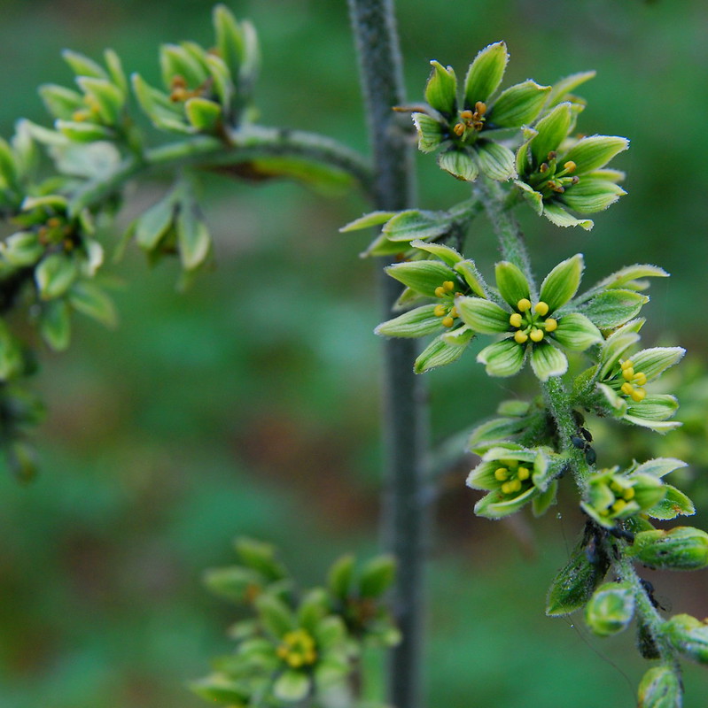
Not sure #3
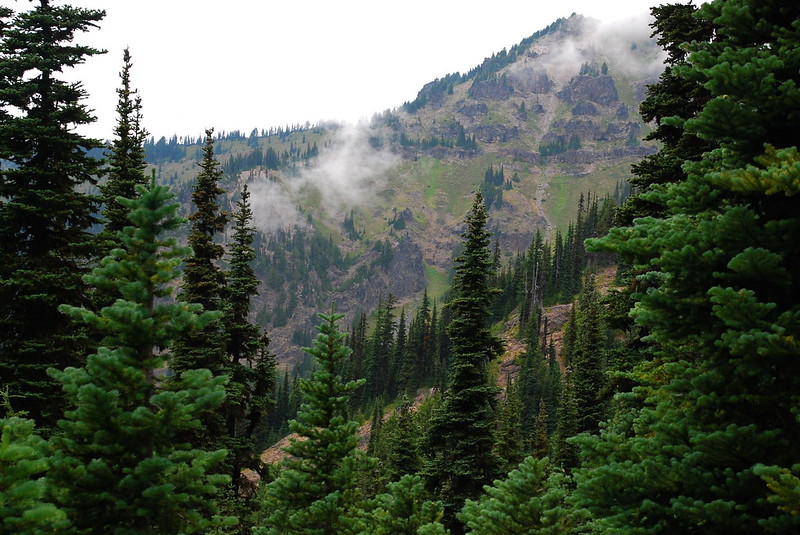
As we neared the (unnamed?) pass over Goat Ridge, the clouds came in closer to say hello...
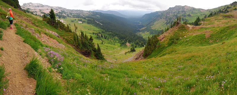
Looking down into Jordan Basin.
...and eventually overtook us.
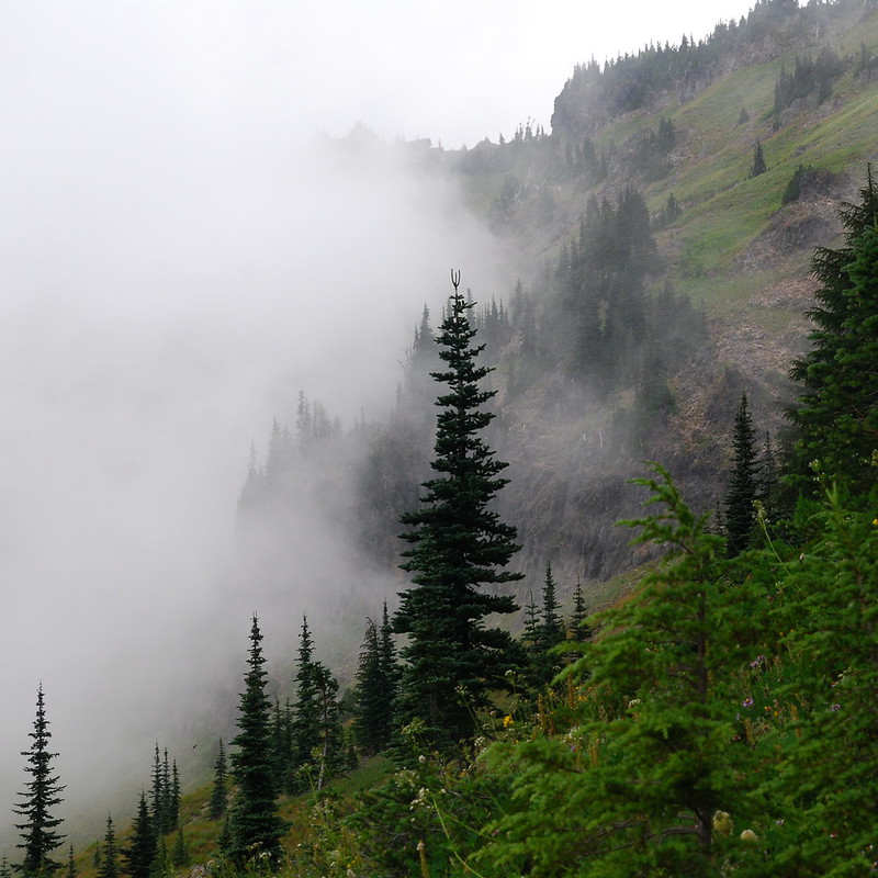
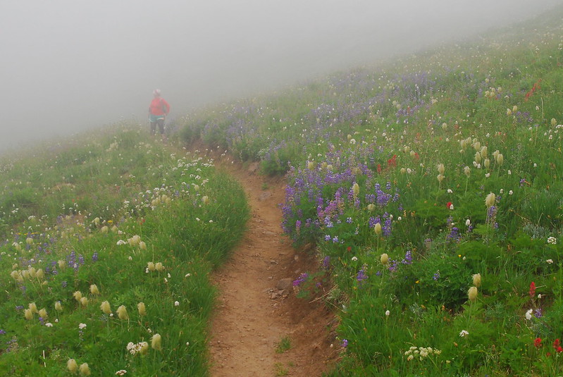
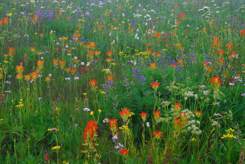
But the flowers more than made up for the lack of long views.
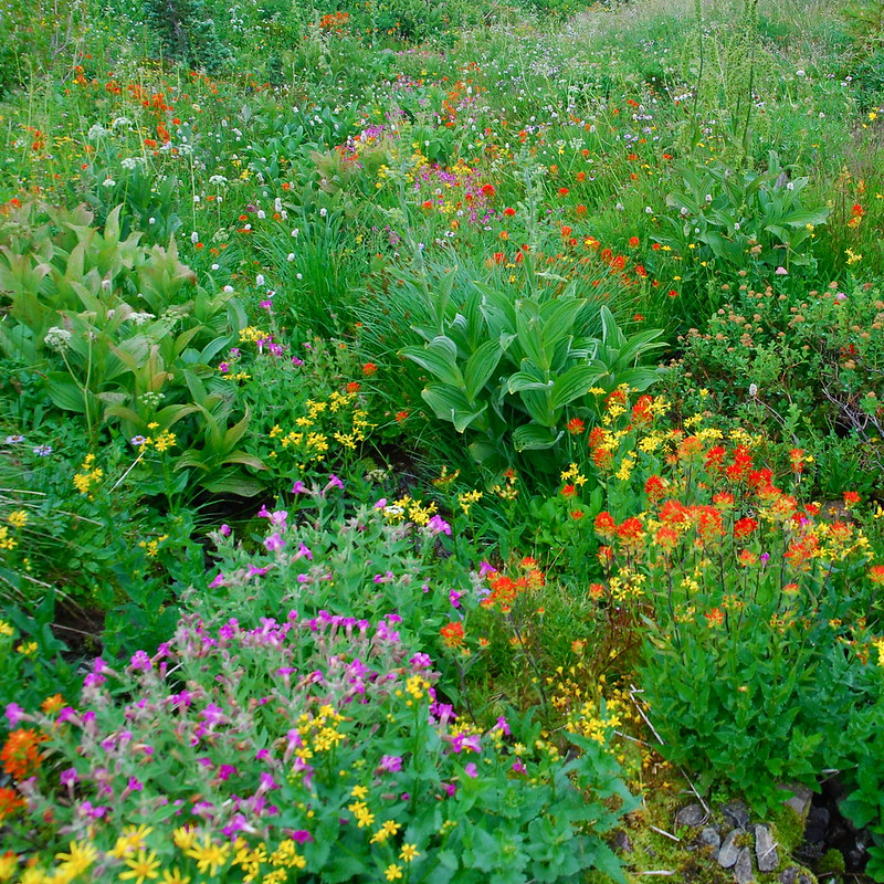
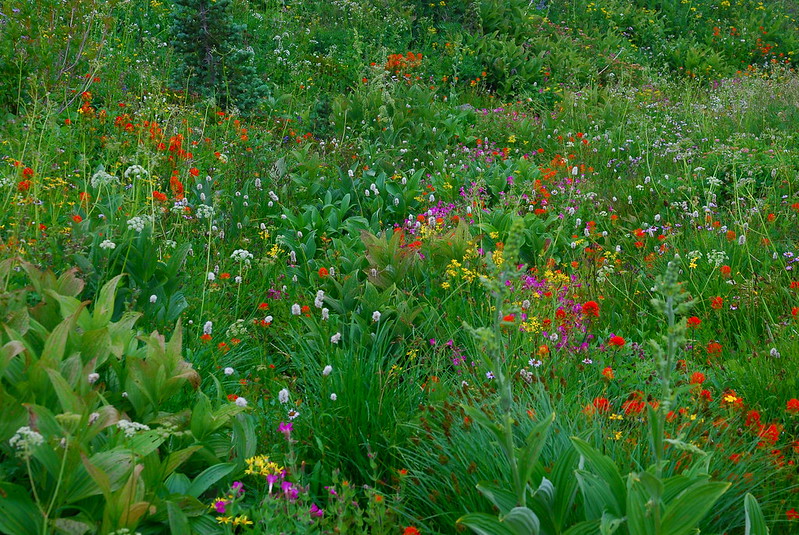
The area between the Jordan Creek headwaters and the pass was just incredible. It was probably my favorite part of the trail and, oddly, one of the least crowded. If I were to do this loop as an overnight - which, given the massive number of people already overcrowding it, I don't think I will - I'd try to set up camp around here.
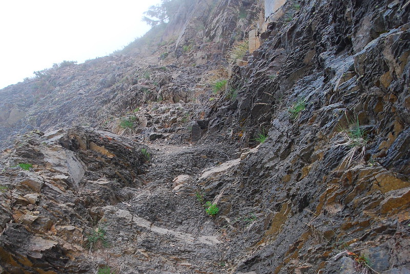
A rare rocky section of trail.
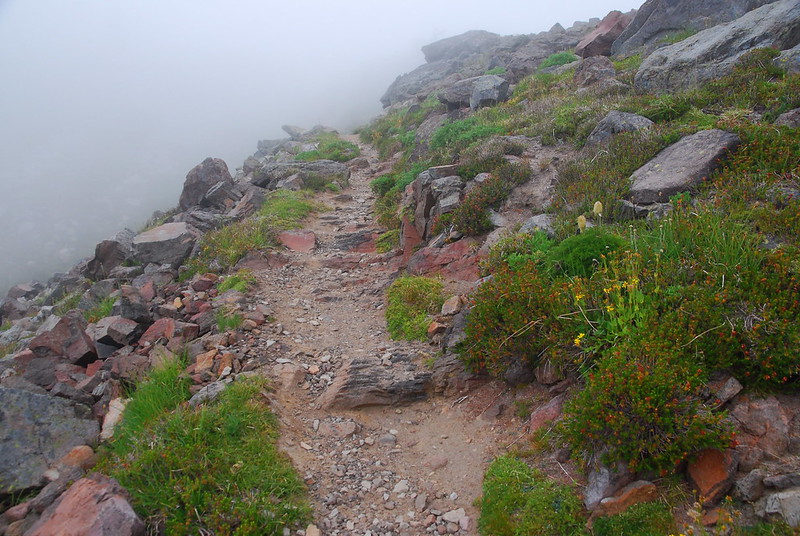
More typical.
Jordan Creek headwaters.
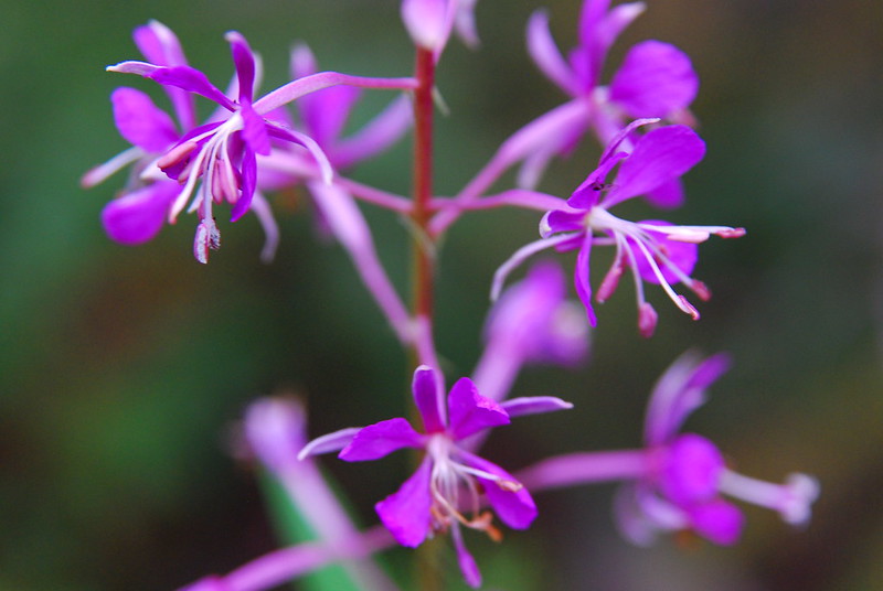
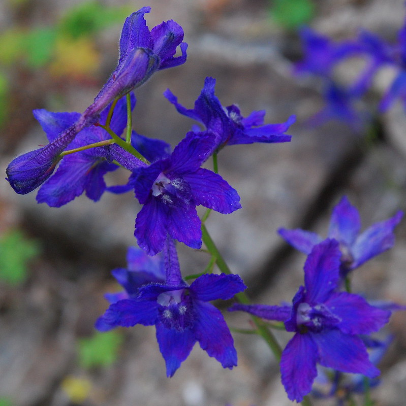
Pasque!
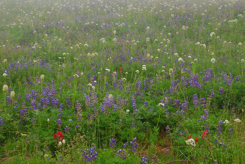
Lupine!
Krista, nearing the pass.
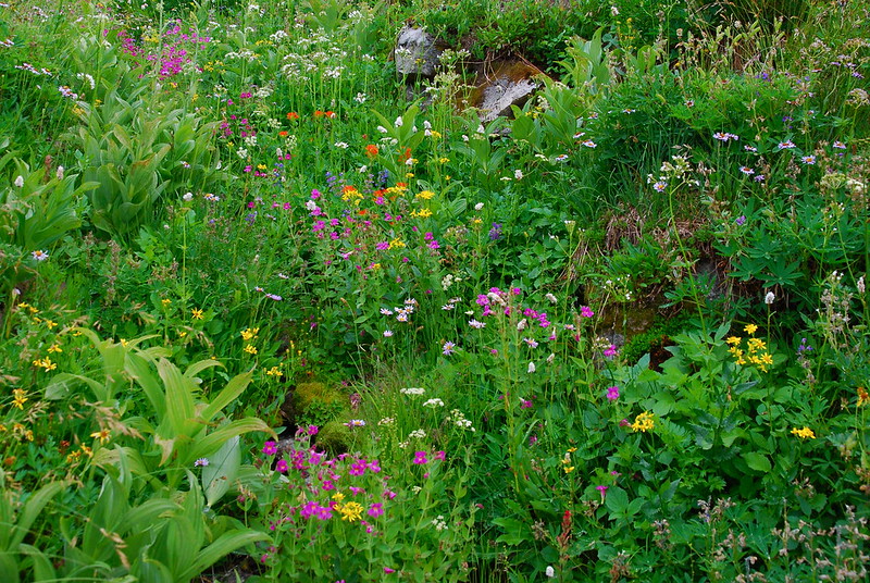
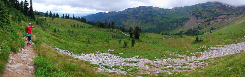
As we hit the pass, it started to sprinkle a little, so we decided to leave Hawkeye Point for another time and descend down the Lily Basin Trail (#86) straight to Goat Lake. The flowers remained just incredible.
Paintbrush!
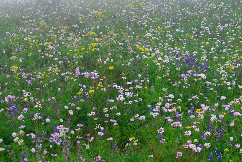
Pandemonium!
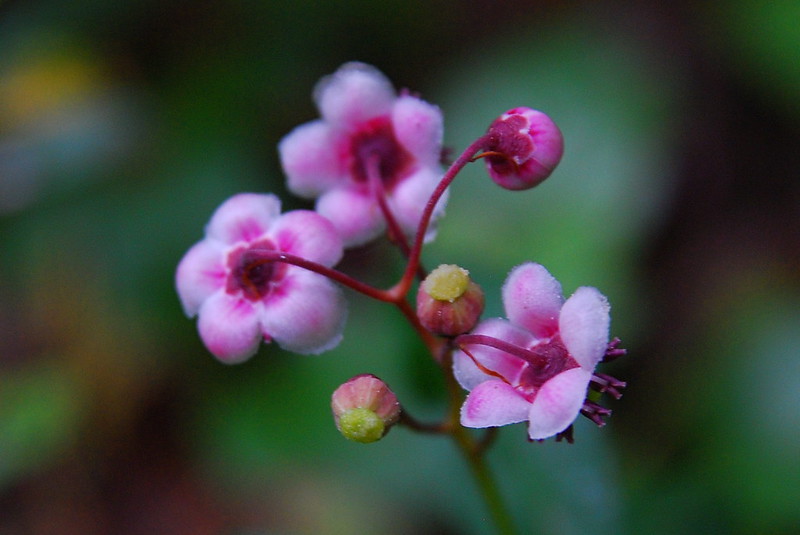
Is the pink stuff monkeyflower?
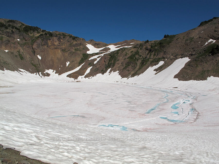
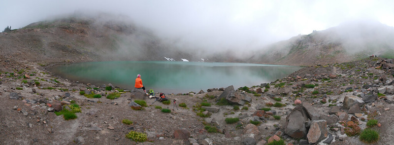
We stopped at the lake for lunch, though initially it was all fog.
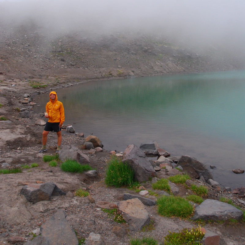
Me, eating.
Eventually, though, it started to clear.
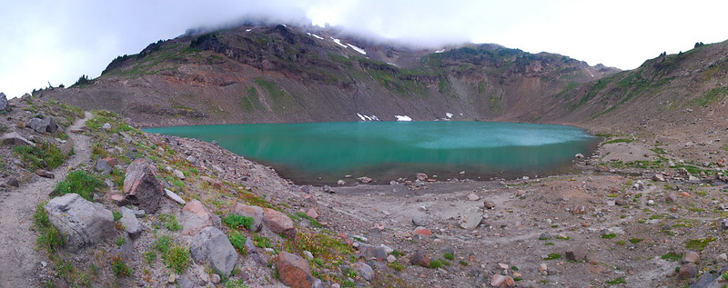
There's a lake there!
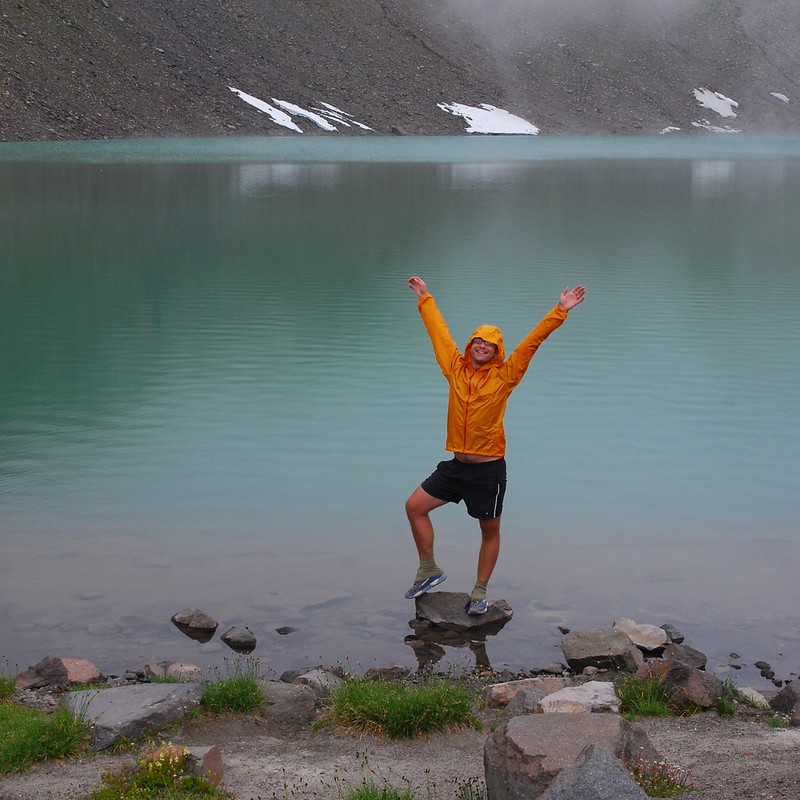
And I was stoked.
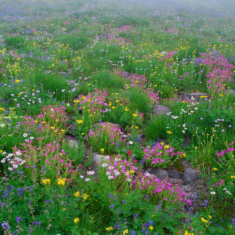
Given the unexpectedly nice views, we spent a while rambling around taking pictures, and taking in the many, many campsites and clearings around the lake. I found myself wishing for some of those Jefferson Park style "Area Closed for Restoration" signs.
Looking east toward Snowgrass Flats.
Goat Creek (and Krista).
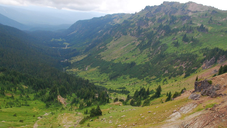
Eventually, we continued on east. I just love the basin here - does it have a name? "Goat Creek Basin" just doesn't seem grand enough.
Looking back toward Goat Ridge.
You can't really tell, but Krista's giving a thumbs up.
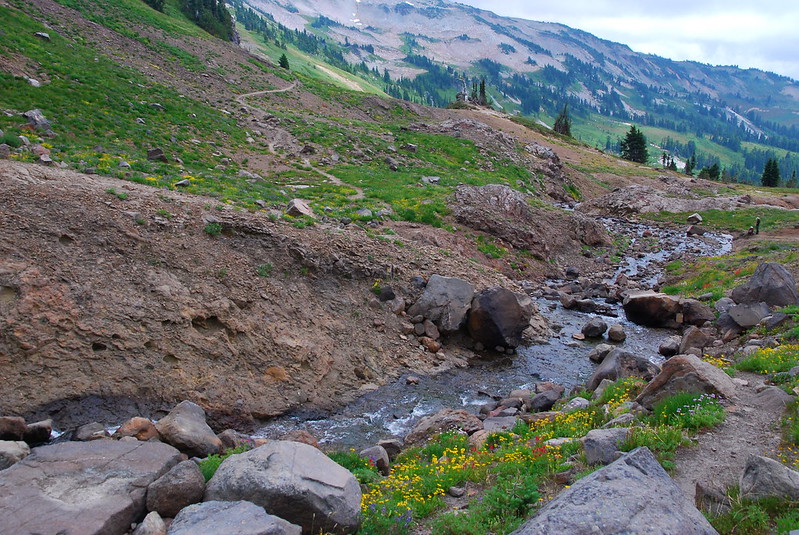
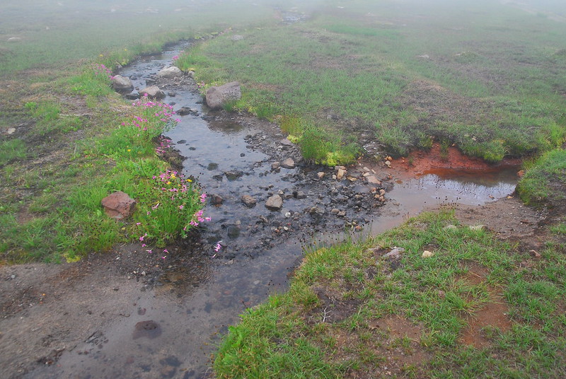
As it passes from Goat Lake to Snowgrass Flats, the trail passes several gorgeous creeks.
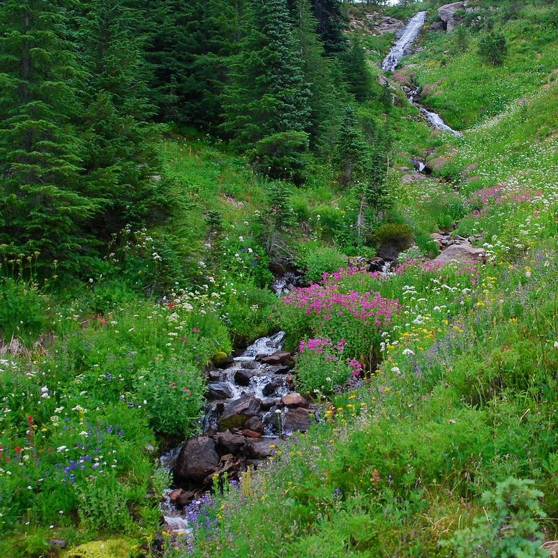
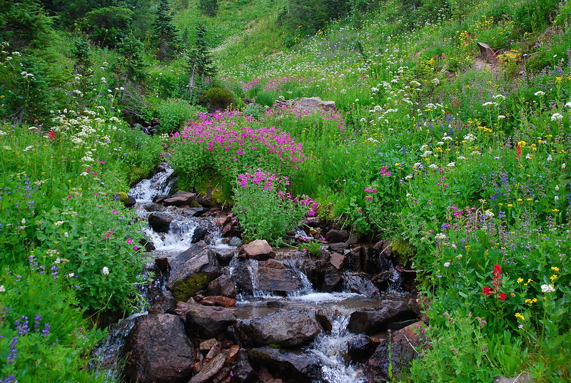
Closeup
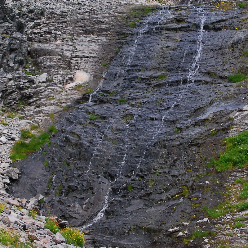
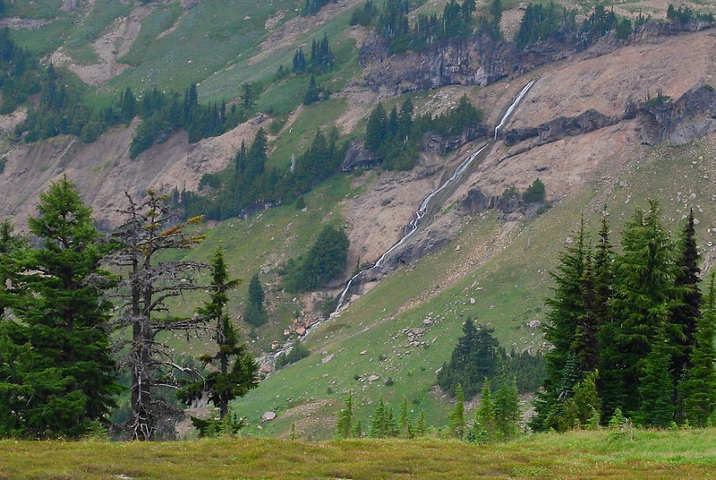
Looking back at Goat Creek:
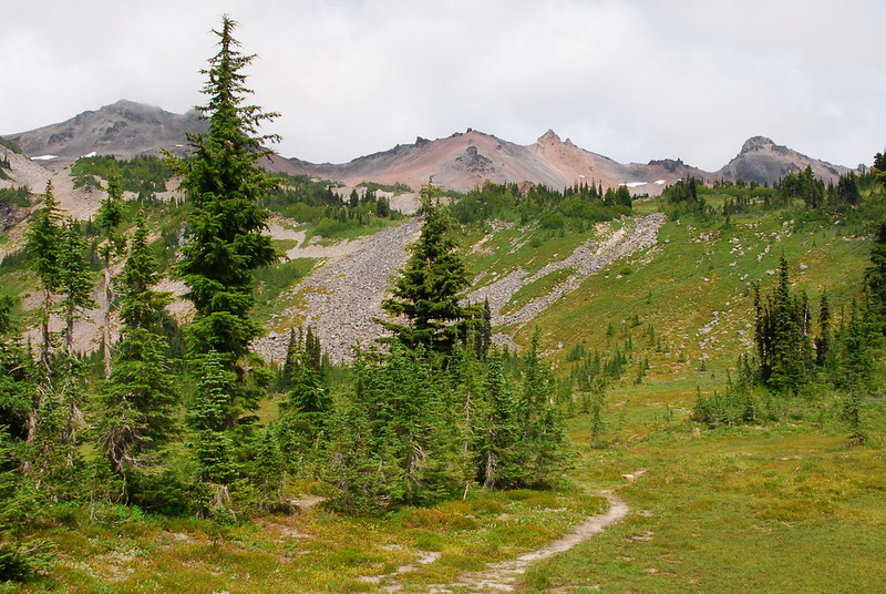
The flowers around Snowgrass Flats were all sort of sad and dead, but there were good views up toward Old Snowy Mountain...
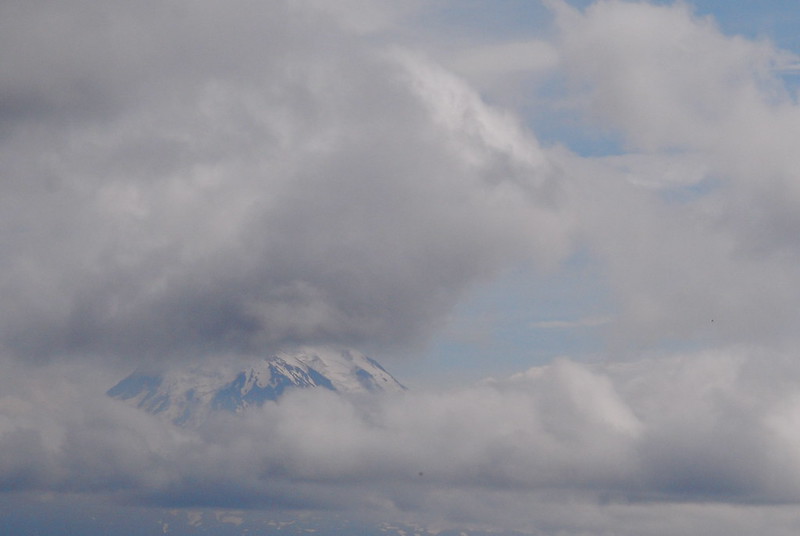
...and Mount Adams even popped up for a moment to say hello.
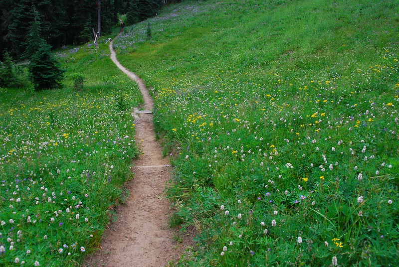
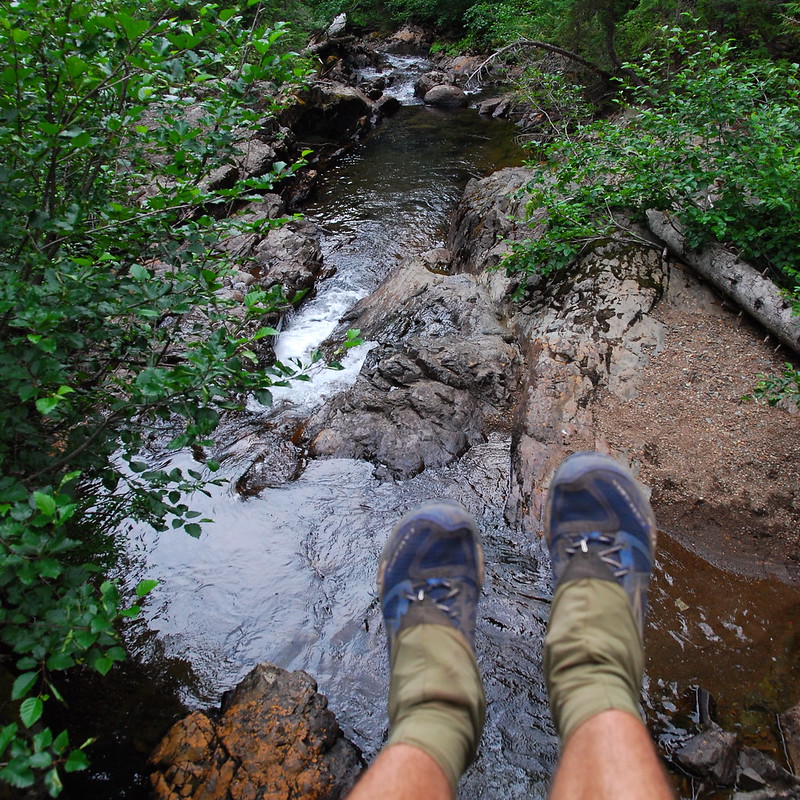
From Snowgrass Flats, the trail reenters the woods. I put the camera away and we motored down a few miles, until we hit the gorgeous bridge over Goat Creek, where we took a short break.
Then it was just a couple more miles through the woods, through yet more flowers that I can't name.