When: 6/19/15-6/20/15
Route day 1: Bingham Ridge TH (4290’), Lake of the Woods Trail (5340’), Hunts Creek Trail (5630’), PCT (6015’), secret trail cutoff (6100’)
Route day 2: Secret trail cutoff (6100’), unnamed cinder cone (6000’), Cabot Lake Trail (5600’) south, Forked Butte (6400’), Cabot Lake Trail north, Table Lake (5480’), the Table (south higher section/6100’), the Table (north lower section/6000’), secret cutoff to Shale Lake/PCT (5850’), PCT/Hunts Creek Trail jct, back to Bingham Ridge TH
Stats:
• Mileage: 33 miles
• Elevation Gain: 6600’
• Number of other hikers: 3
• Drive time from SE PDX: 2 hours 10 minutes
• Mosquito bites: 3
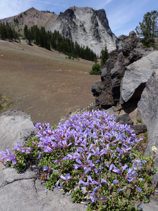
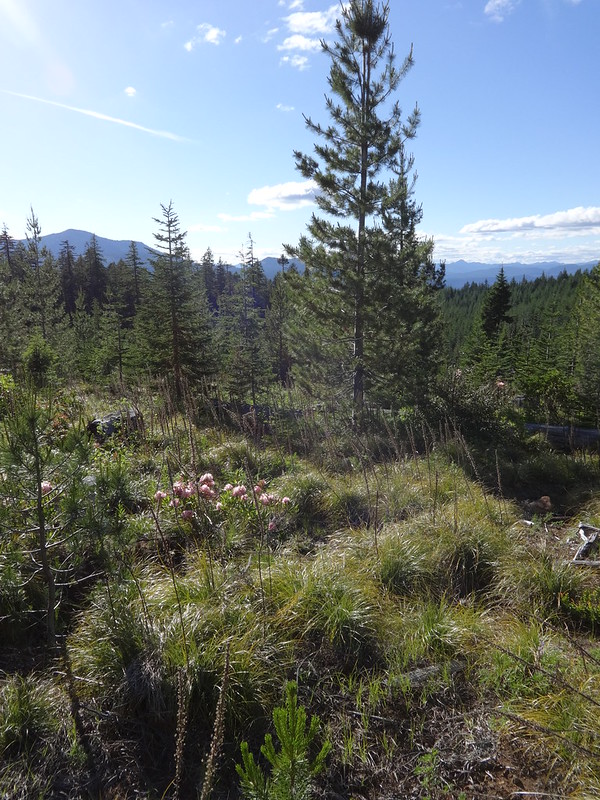
Opening picture:
Google Earth video tour:
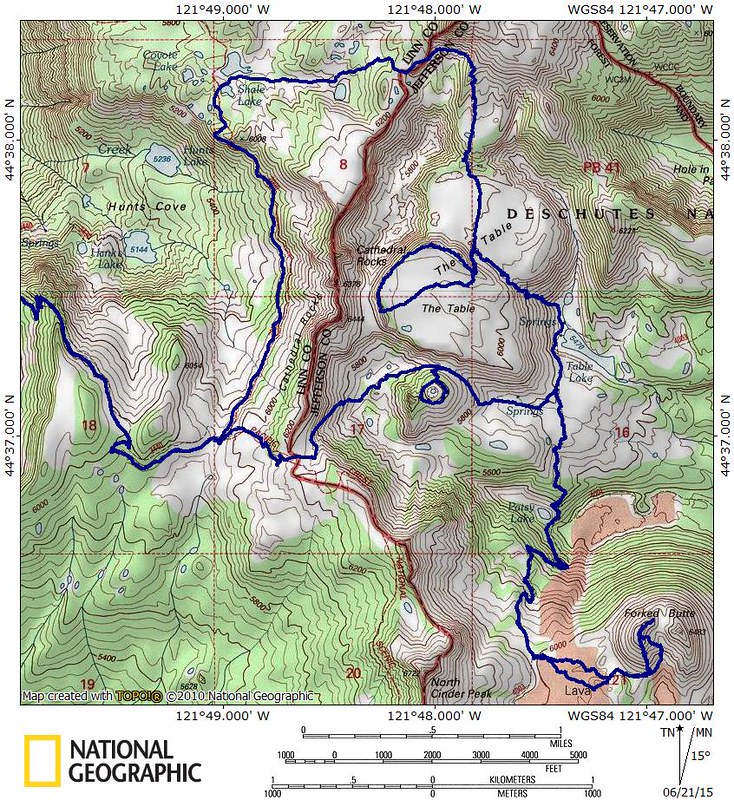
Trip map overview:
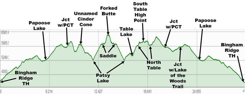
Elevation profile:
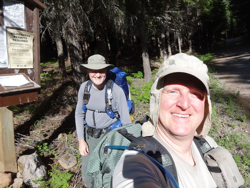
TFFs at the TH:
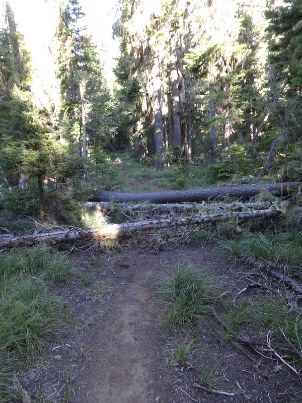
Rerouted section of the Bingham Ridge Trail:
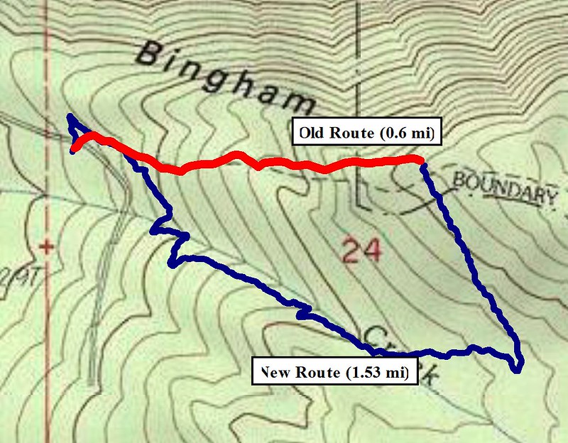
Map of the rerouted section of the Bingham Ridge Trail:
A few of the 100+ downed trees on the trail:
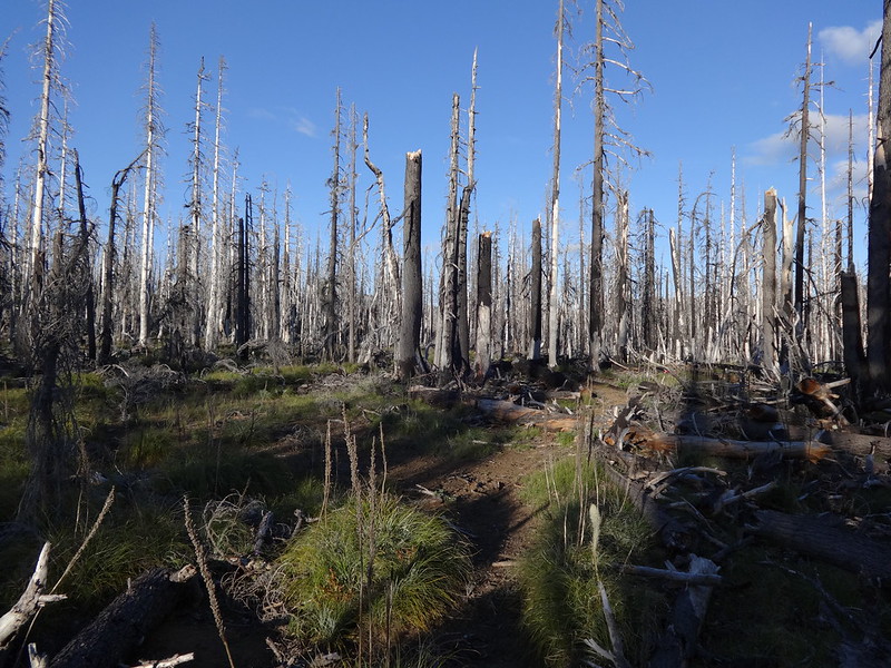
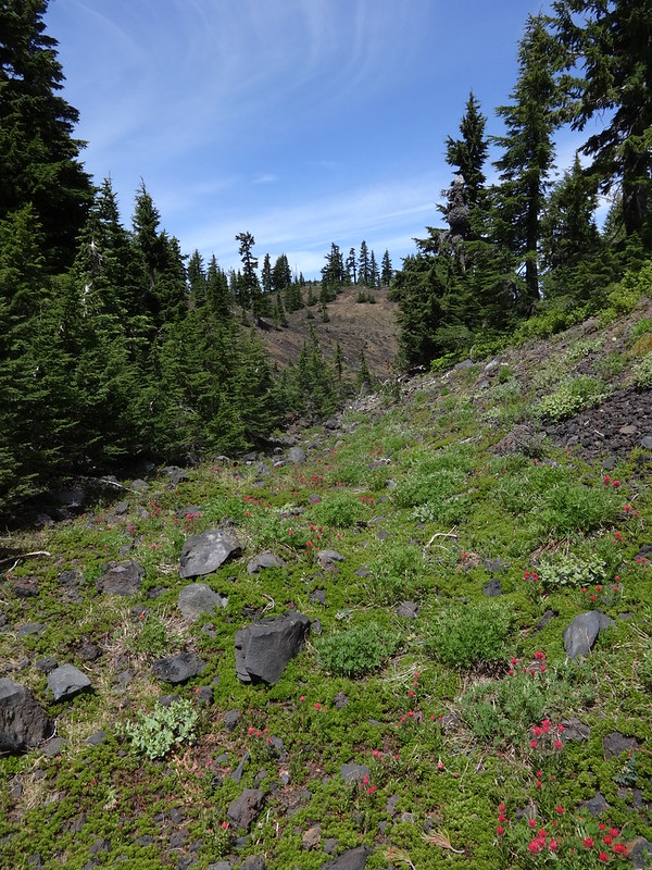
Several miles of trail go through the 2006 Puzzle Fire burn:
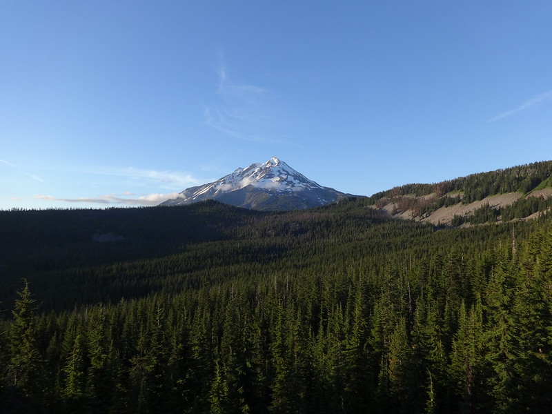
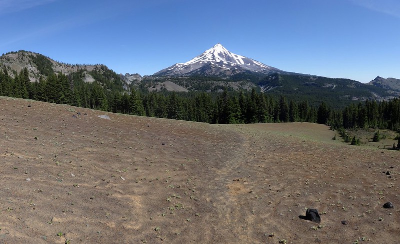
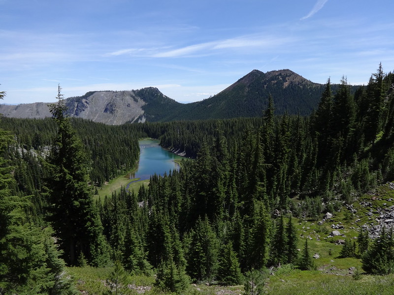
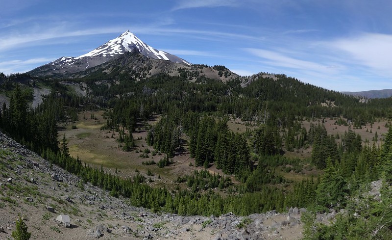
Mt. Jefferson and Bingham Basin:
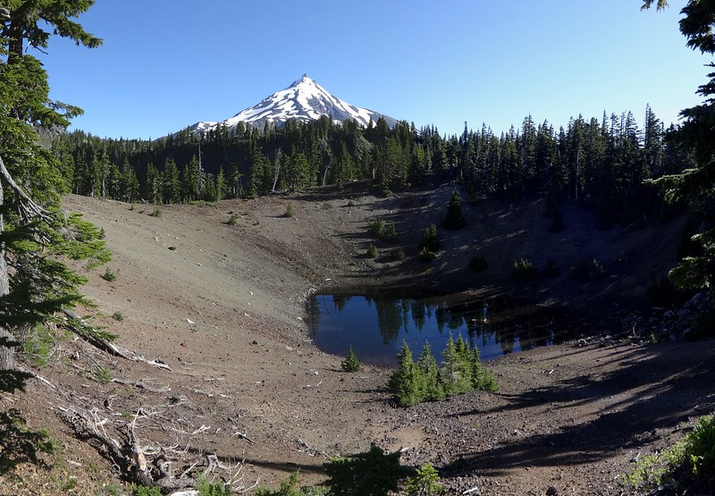
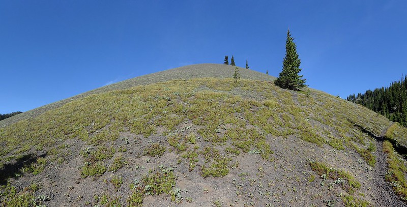
Small lake in the cone of the unnamed cinder cone:
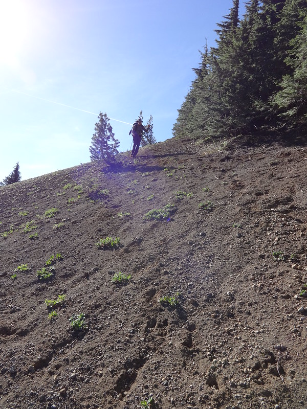
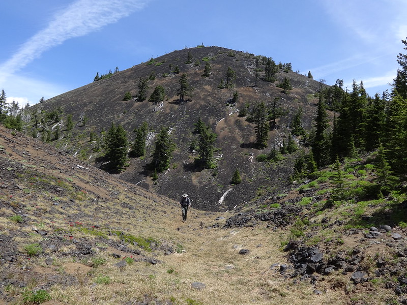
Jim coming back down the cinder cone:
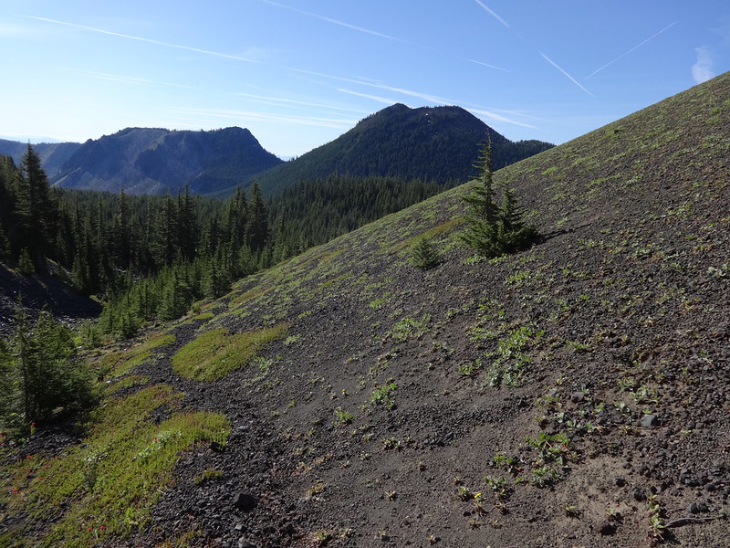
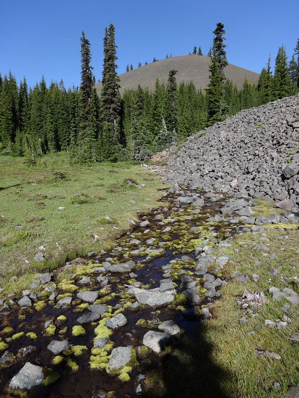
Trail at the base of the cinder cone:
Curvy stitch pic of the cinder cone:
Jim using his Sawyer squeeze for the first time:
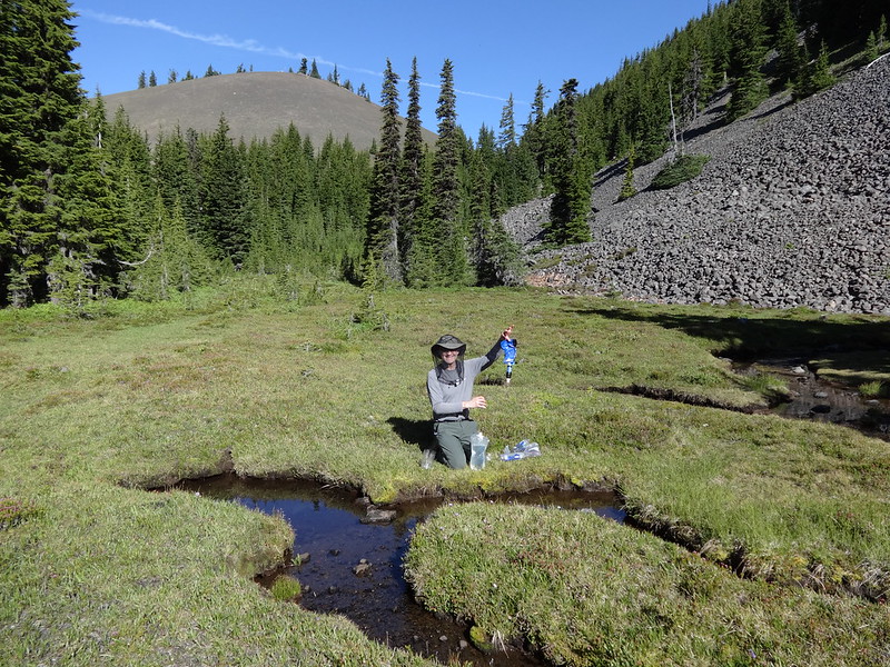
This spring comes right out of the ground at the base of the Table:
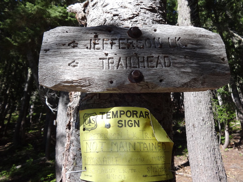
You better believe the Jefferson Lake Trail is not maintained. However, I can personally attest that it is not impassible:
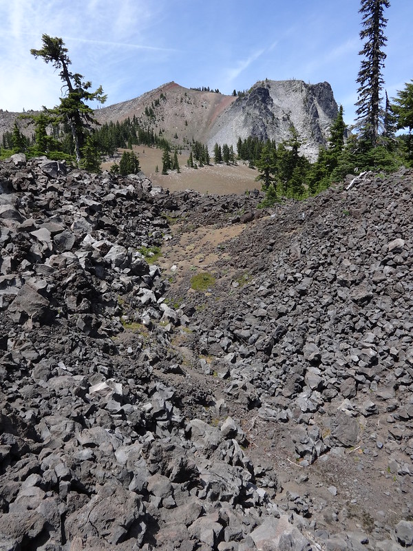
Unnamed pass between North Cinder Peak and Forked Butte:
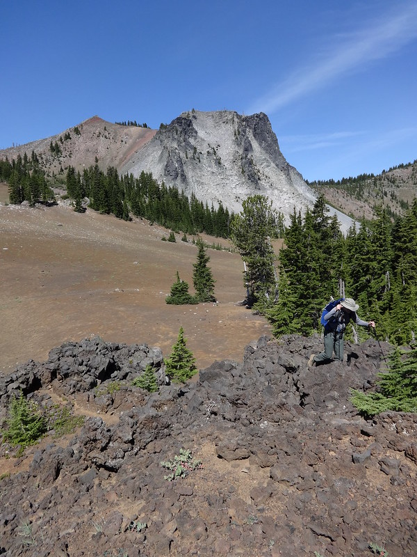
Beginning the route finding over to Forked Butte (North Cinder Peak in the background):
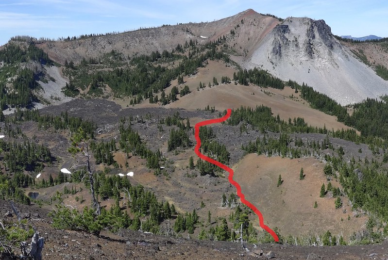
Once at the top of Forked Butte I was able to locate a better route through the lava field back to the trail:
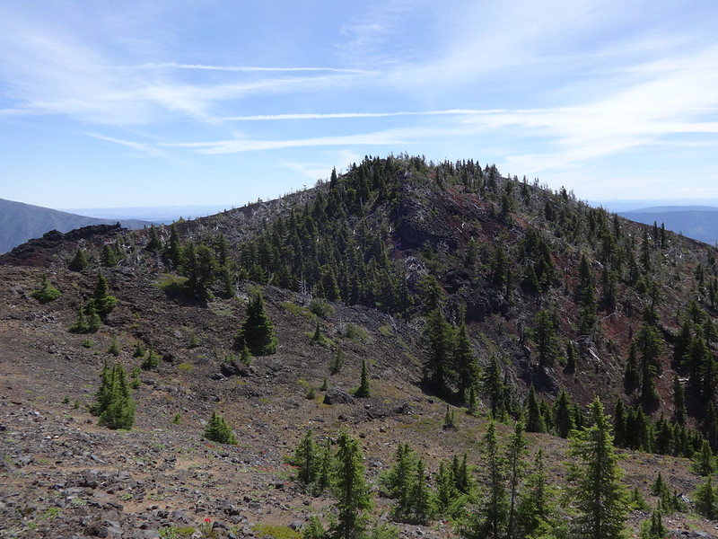
The higher of the two points on Forked Butte:
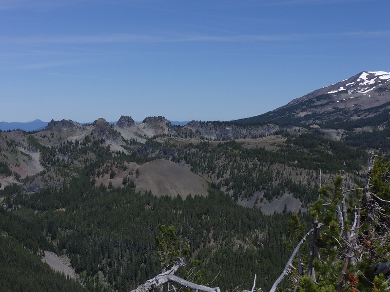
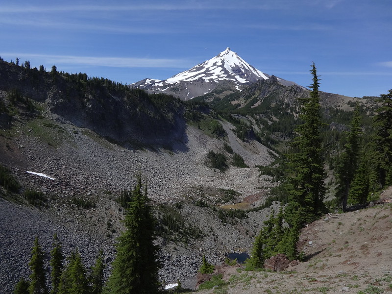
Cathedral Rocks, the Table and the unnamed cinder cone from Forked Butte:
Coming back down from Forked Butte this ravine…
leads to this ravine…
and we’re almost back on the trail:
The beginning of the “trail” that leads up to the Table:
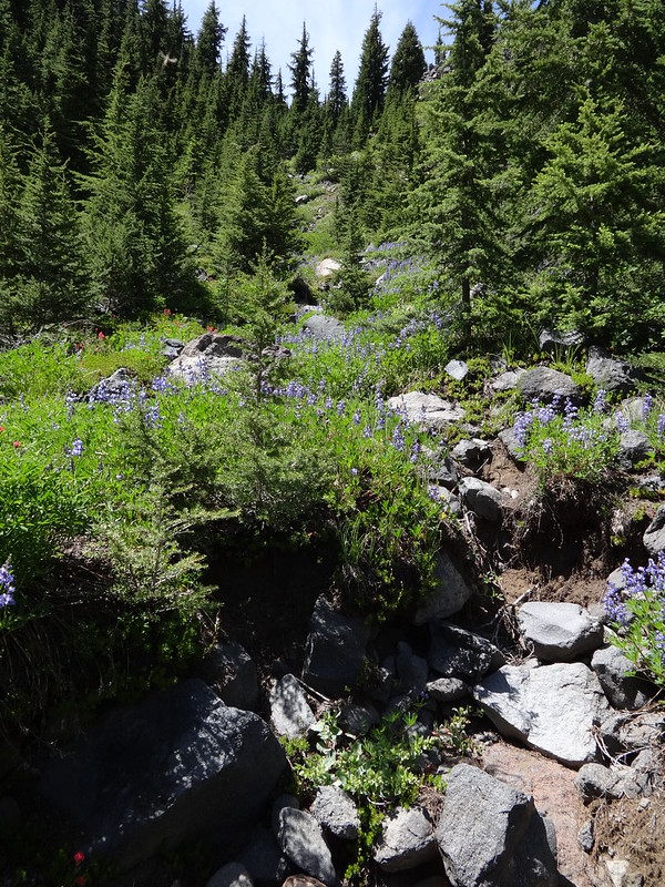
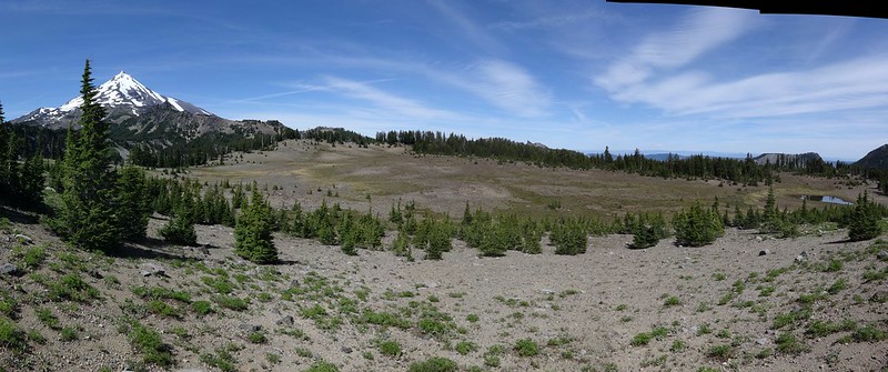
Table Lake and Forked Butte from the “trail” on the way to the Table:
Pano stitch pic of the higher south section of the Table:
Pano video of the higher south section of the Table:
This is the best view of Cathedral Canyon you will get:
Stitch pic of the lower north section of the Table from the higher section:
The route from the lower section of the Table to the higher section (look closely and you will see Jim):
Final notes:
• The beginning of the Bingham Ridge Trail has been rerouted. A 0.6 mile section is now 1.53 miles.
• The Bingham Fire of 2014 did not appear to have affected the trail at all.
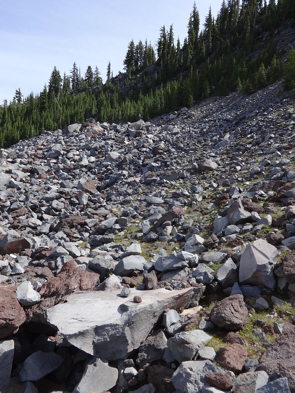
• Many miles of the route were on difficult terrain. Rocky, rooty, scrambly, steep, lots of downed trees, etc.
• Awesome job Jim!! He kept up with me the whole time, and I had a fast pace. Having done over 23 difficult miles on day two I am officially inducting Jim into the Loony Hiker Club.
• Thanks again to Matt for the tip on the secret cutoff route from the PCT to the Cabot Lake Trail.
Link to all the pics on Flickr:
https://www.flickr.com/photos/54959080@ ... 4480272460
Good hiking,
Brad