
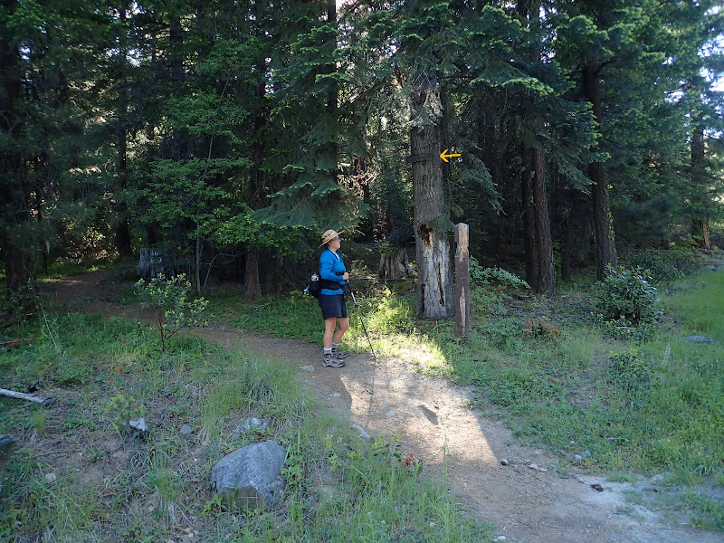
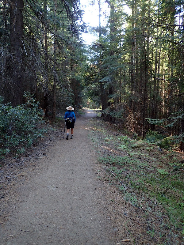
The trail starts as a trail and then joins an old road,
which you follow up to where it was obliterated by the Sheep Creek slide,
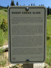
now a rolling expanse of restored vegetation.
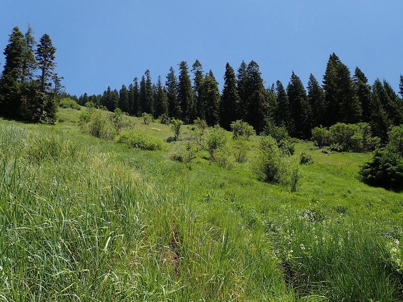
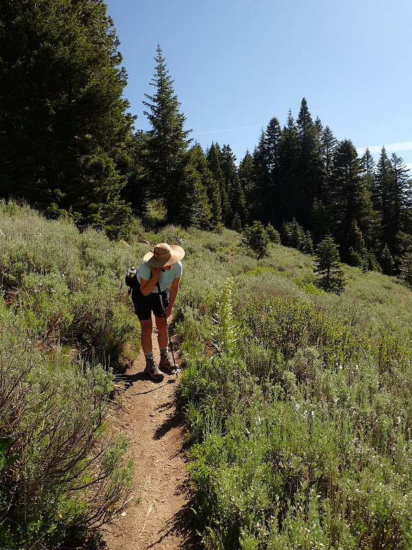
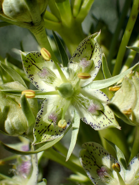
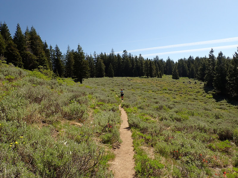
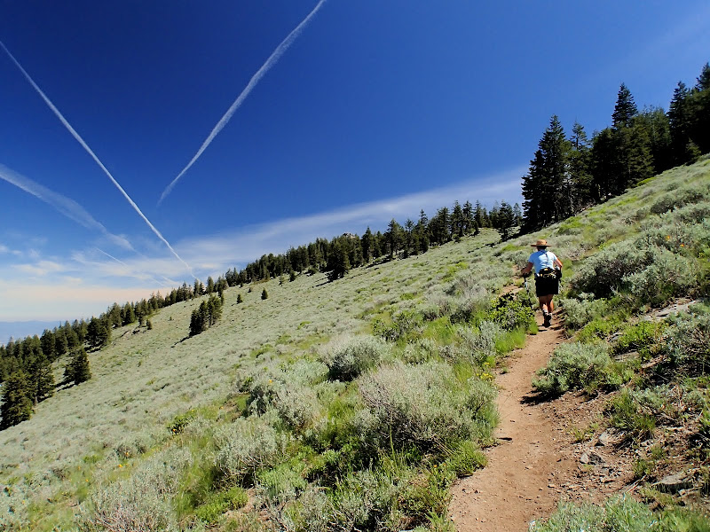
You soon climb up into sagebrush territory, where there were still a surpising number of flowers in evidence.
And then on to Wagner Glade Gap where the trail to the summit turns N from a trail that goes down into the upper Ashland watershed.
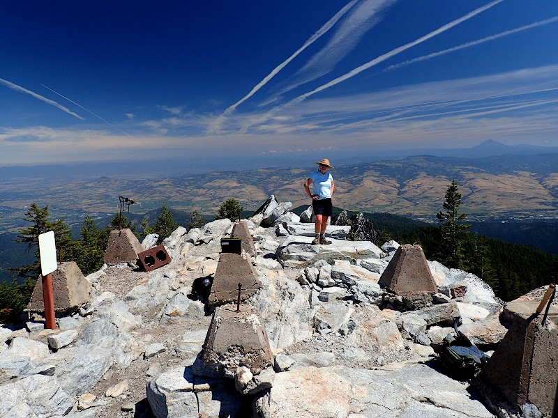
The "summit" - where the now gone LO used to be - isn't the highest point on the ridge, but its the rockiest and most open,
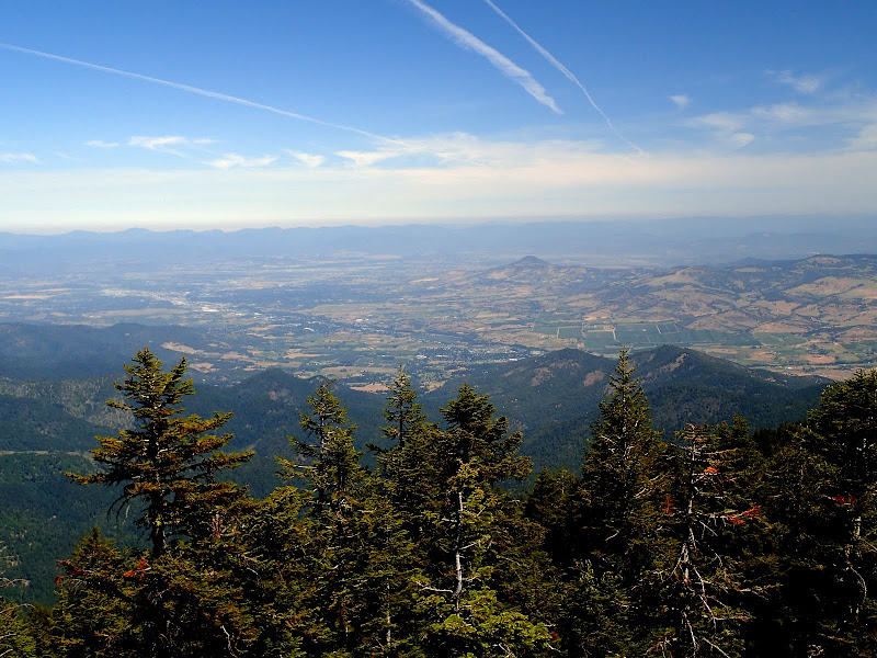
with truly expansive views to the N,
and of downtown Medford,
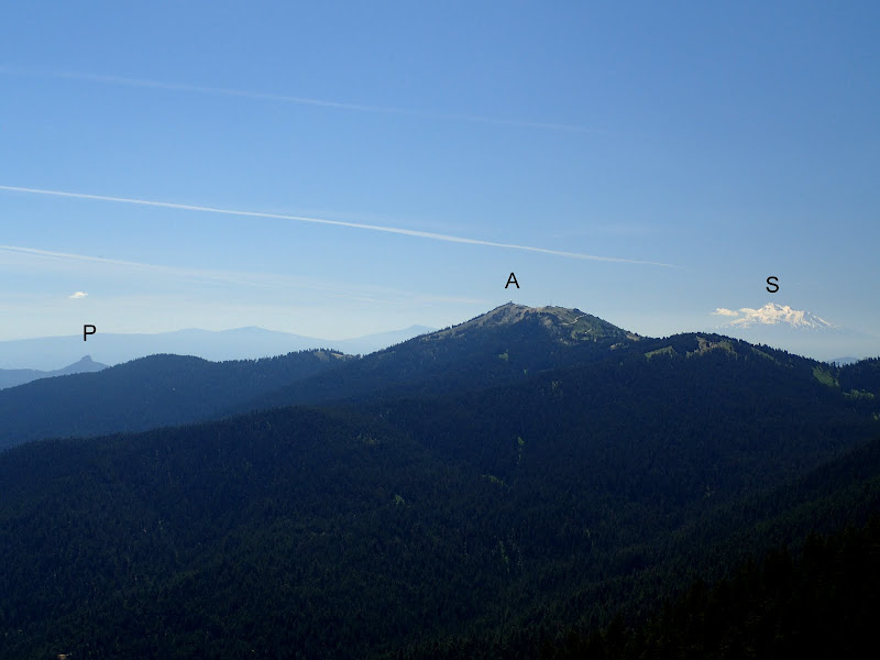
and of Shasta (S) with Pilot Rock (P) and Mt. Ashland (A) to the S.
We had a leisurely lunch on the summit before retracing our steps (10 mi RT, 2200' EG). Even if you're just passing through southern Oregon, this is an easy access, fun hike to a great viewpoint!
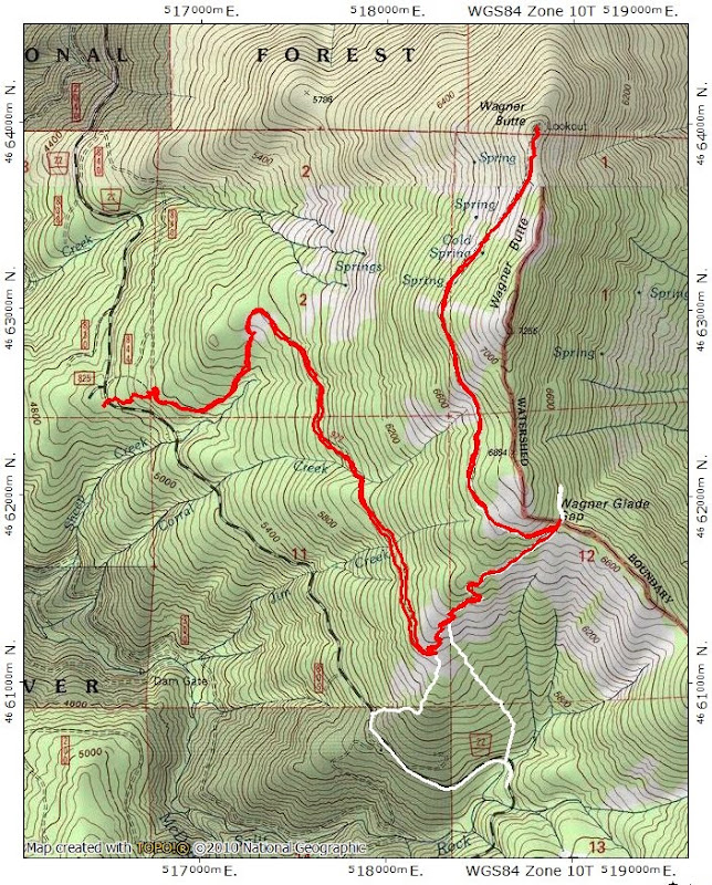
The red track is our most recent hike; the white track is the XC adventure we had back in January.