
Opening Pic:
Our route was something like this:
We toyed with the idea of approaching from Elk Lake Creek, but opted for the shorter hike and the more "exciting" drive to begin at Elk Lake. We drove down I-5 towards Salem, headed out Hwy 22 towards Detroit Lake, and took the FS46 Rd up towards Elk Lake.
The reservoir was lower than I've ever seen it, with exposed tree stumps and boat docks sitting on dry ground almost 30' above the surface of the Breitenbush river, flowing like a ribbon, not a still lake.
Pic from Monday @ Upper Arm Day Use area:
Usually a beach w/ water access:
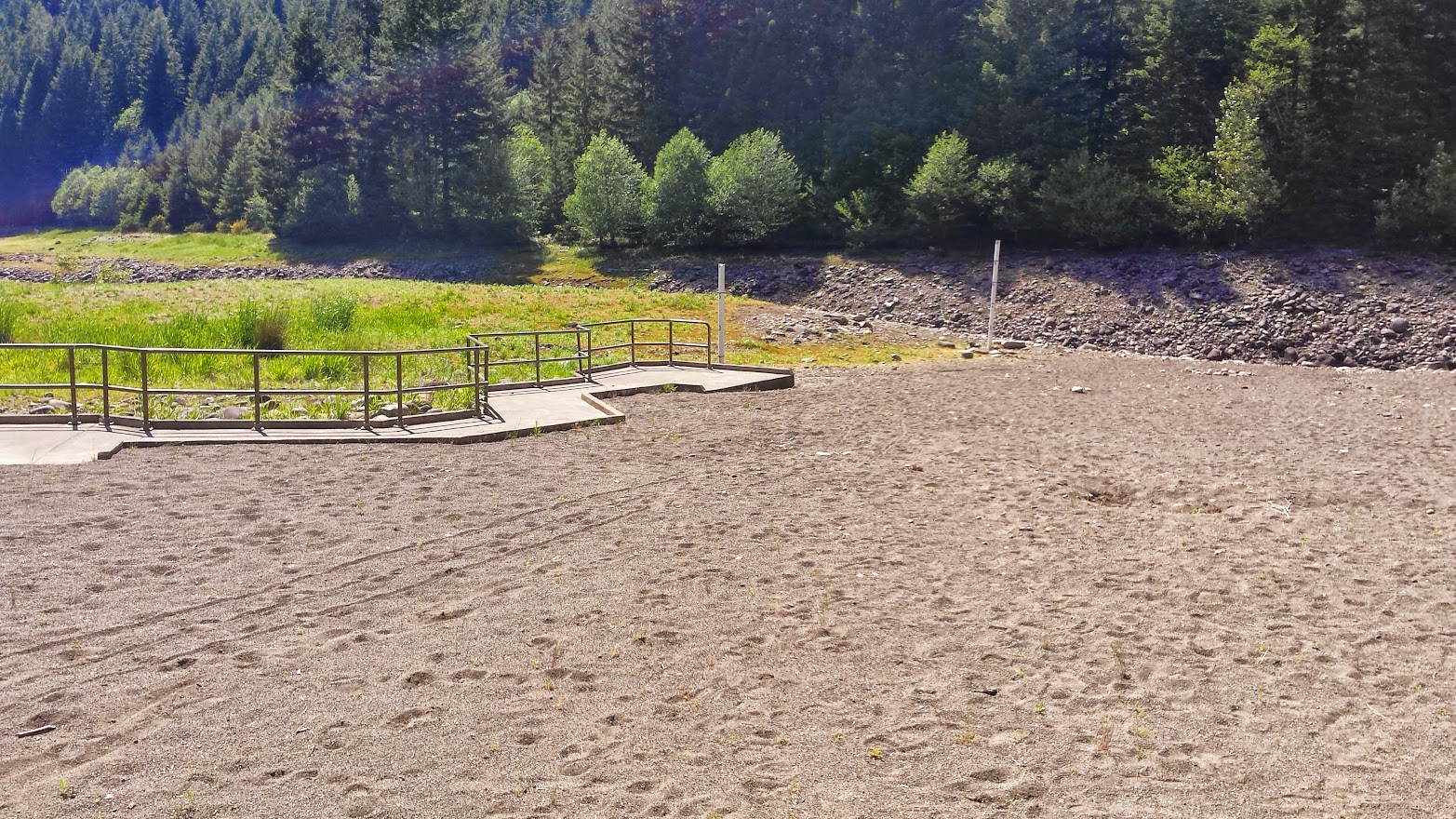
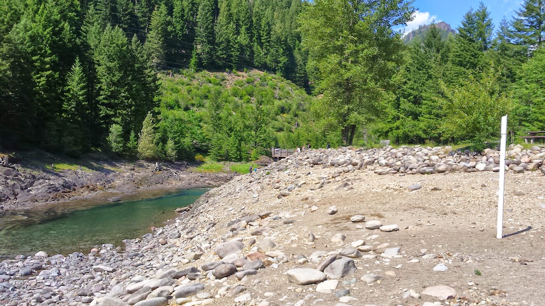
That white pole has lines to measure the height of the water in the swimming area. I'm not sure, but I don't think this is "normal"?
As we left the Hwy, we started seeing lots of Memorial Day "campers" and all their various accessories set up, sometimes only a few dozen feet from the roadside!
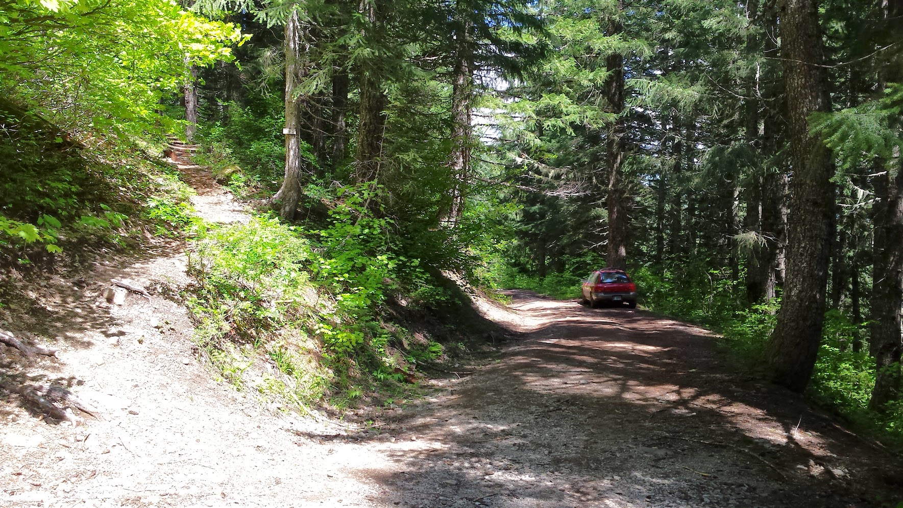
The road to Elk Lake is notoriously bad, but not more so than many roads to TH's I've been on. I'm happy to have a high clearance SUV for trips like this. I saw several muddy cars up there, however.
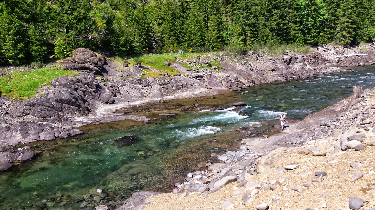
A few fisherman were getting ready to get on the water at Elk Lake when I arrived and snapped a few pics of the water.

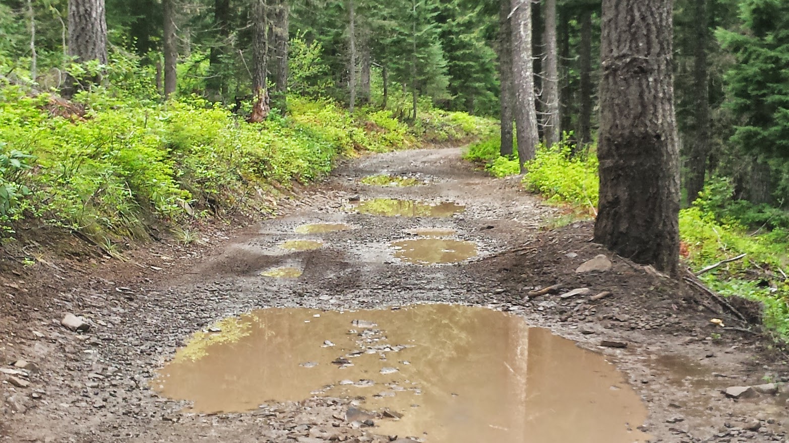
We parked the vehicle in a roadside pullout and walked about 1/4 mile to the Elk Lake Creek Trail #559 at the NE end of the lake.
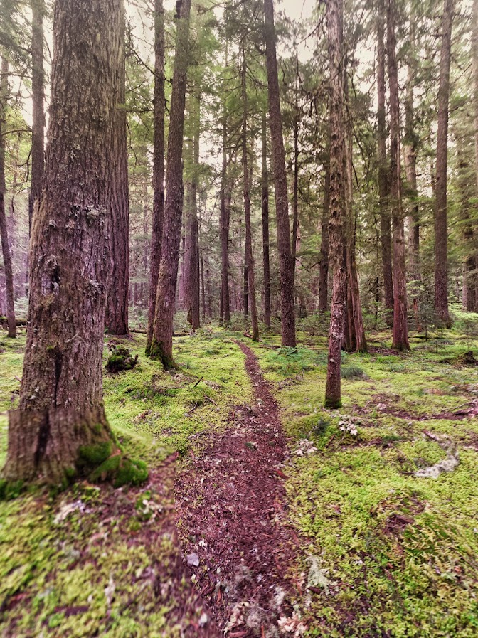
Starting out:
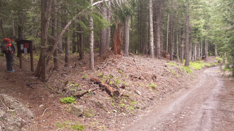
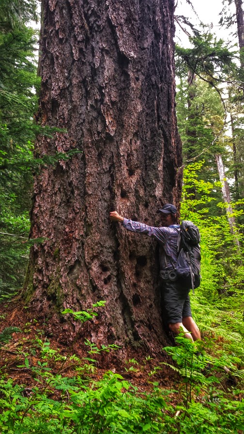
This early section was a nice, mostly level forest walk in the mist past some huge old growth trees and newly bloomed rhododendrons.
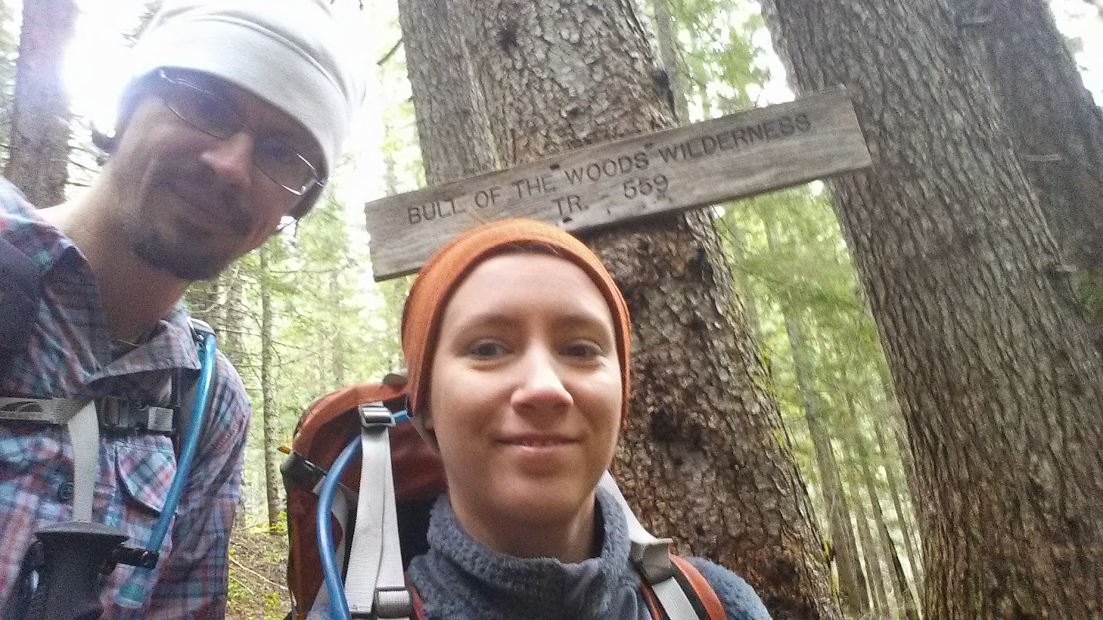
Eventually leading down to the junction w/ the Motherlode Trail near the site of the Battle Creek Shelter.
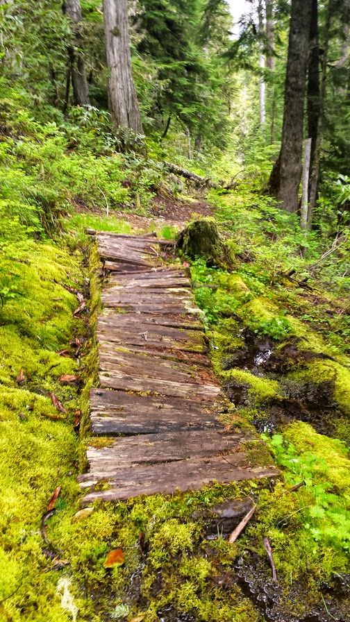
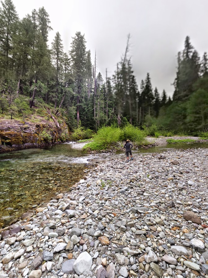
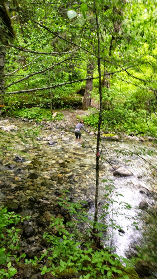
There are some nice camps here and so we decided to set up and explore further down Elk Lake Creek trail a bit. It involved an immediate creek crossing:
Clear (& Cold) water of Battle Creek
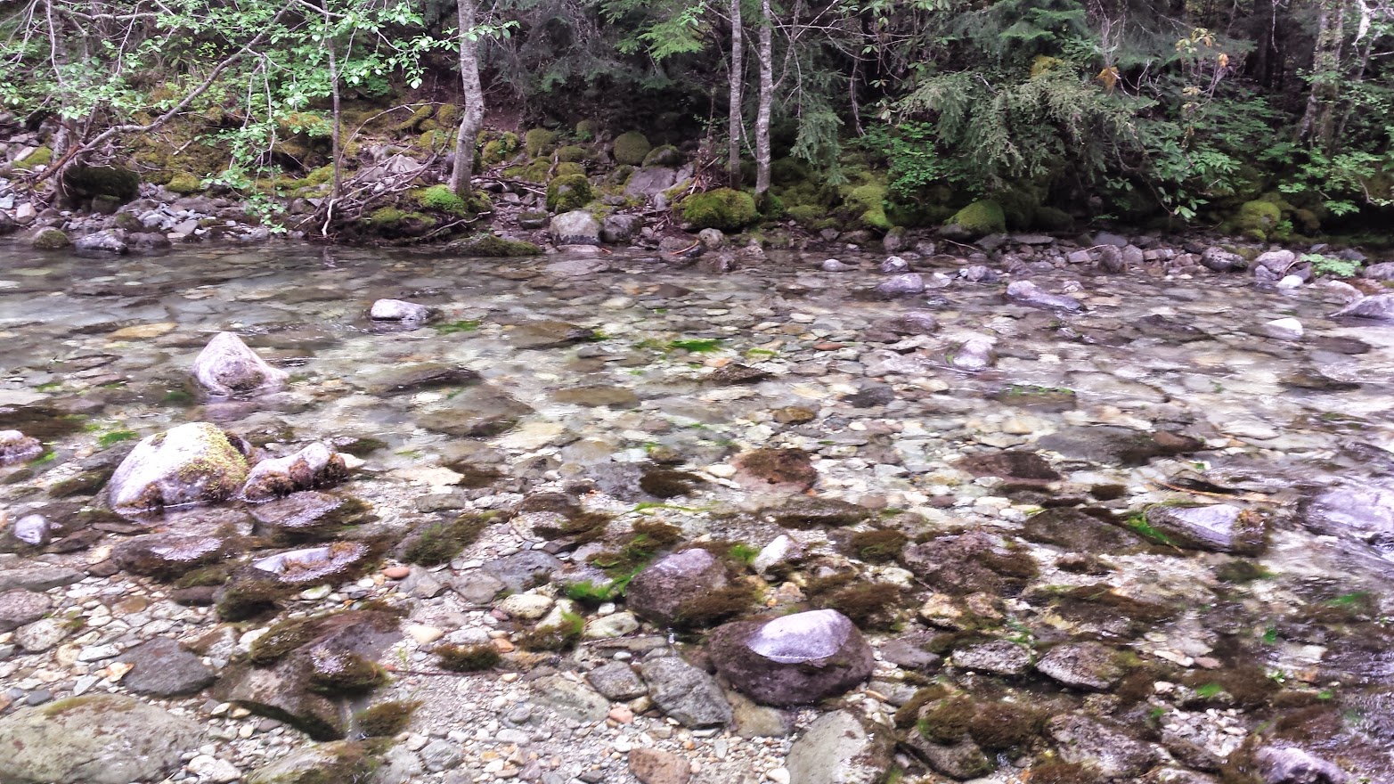
Once across the creek, we ambled along through dense and very green forest with occasional views of the lovely Elk Lake Creek.
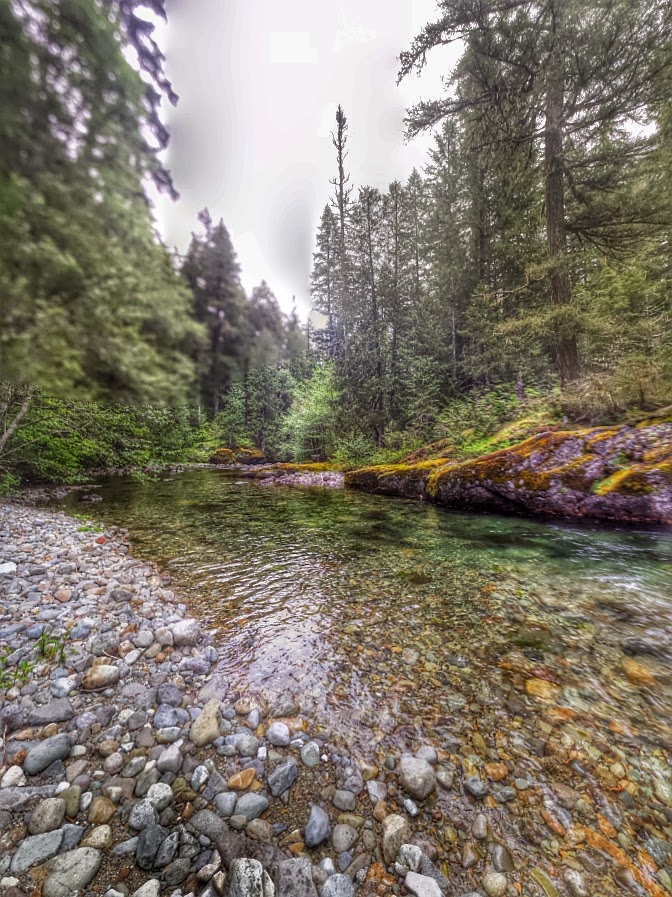
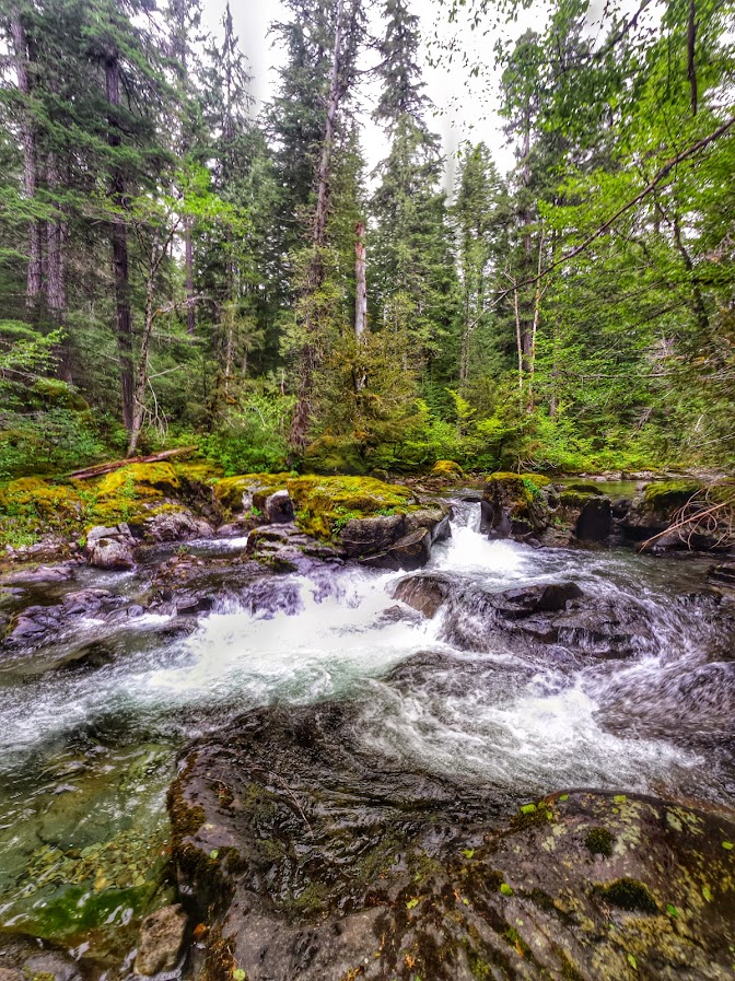
I took too many pictures of the creek, but it's seriously beautiful:
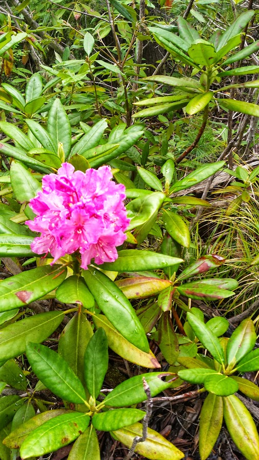
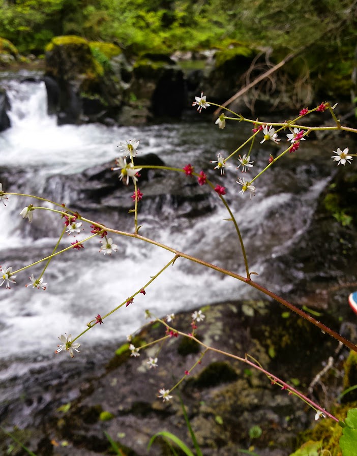
Not a ton of flowers, but Greg thinks it's a rusty saxifrage. Good enough for me.
And some megaflora too:
Further along there was another creek crossing, so we decided to head back to camp and only deal w/ ONE more crossing on the way back, instead of 3.
Getting our feet wet again:
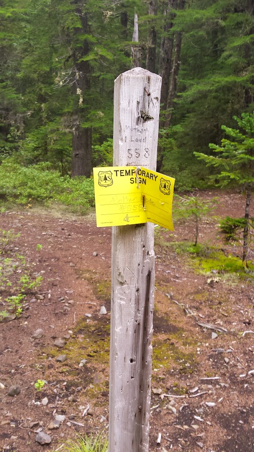
The next morning we headed out the Motherlode Trail #558 to climb to our destination for Sunday night's camp @ Twin Lakes. I knew it would be busy, but hoped an early start would allow us to secure a camp near the water. It turned out it was a good thing we got an early start.
From our camp, after an immediate crossing of Battle Creek, the the trail enters a burned area and soon junctions with the

After some not-so-under my breath cursing and my wife's thinning patience, we continued to soldier on and we made it up higher on the ridge. It took us around an hour or more to go only about 1/2 mile. We sat on the steep slope and had a snack and tried to figure out what to do next. Only thing to do is keep on keeping on. We donned our packs, and in only a few steps we were standing on a perfectly visible and maintained trail! WTF!?!
I was relieved, but disappointed at not having seen the junction to this trail on the other end, as I'm usually a navigation hawk. So, I followed it back down to the crossing of Motherlode Creek. I'm still not sure, but at some point BEFORE the


After regaining the trail, things started to look a little better, for many reasons.
Oregon Anenome:

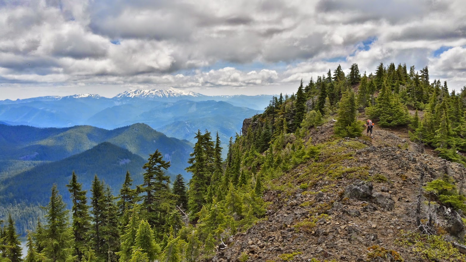
We gained the ridge and some views opened up. Here is Pansy Mtn (L) and Bull of the Woods LO up there somewhere (R)

Finally after climbing up what seemed like an eternity with tired legs from the bushwhack, we reached a junction with Twin Lakes trail #573 and began being bitten relentlessly by mosquitoes as we took a break.

What is going on? Oohhhh this breeding ground was around the corner

Next, we traversed below the ridge of Motherlode Mtn, through a long stretch of burned forest. Life it coming back here, especially noticeable since it's starting to bloom this time of year.


I kept examinging all the stalks of beargrass for that albino spider that KepNW saw in one of his photos, but never saw one. Those suckers are pretty nicely camoflauged, however. Lots of other bugs on them though.

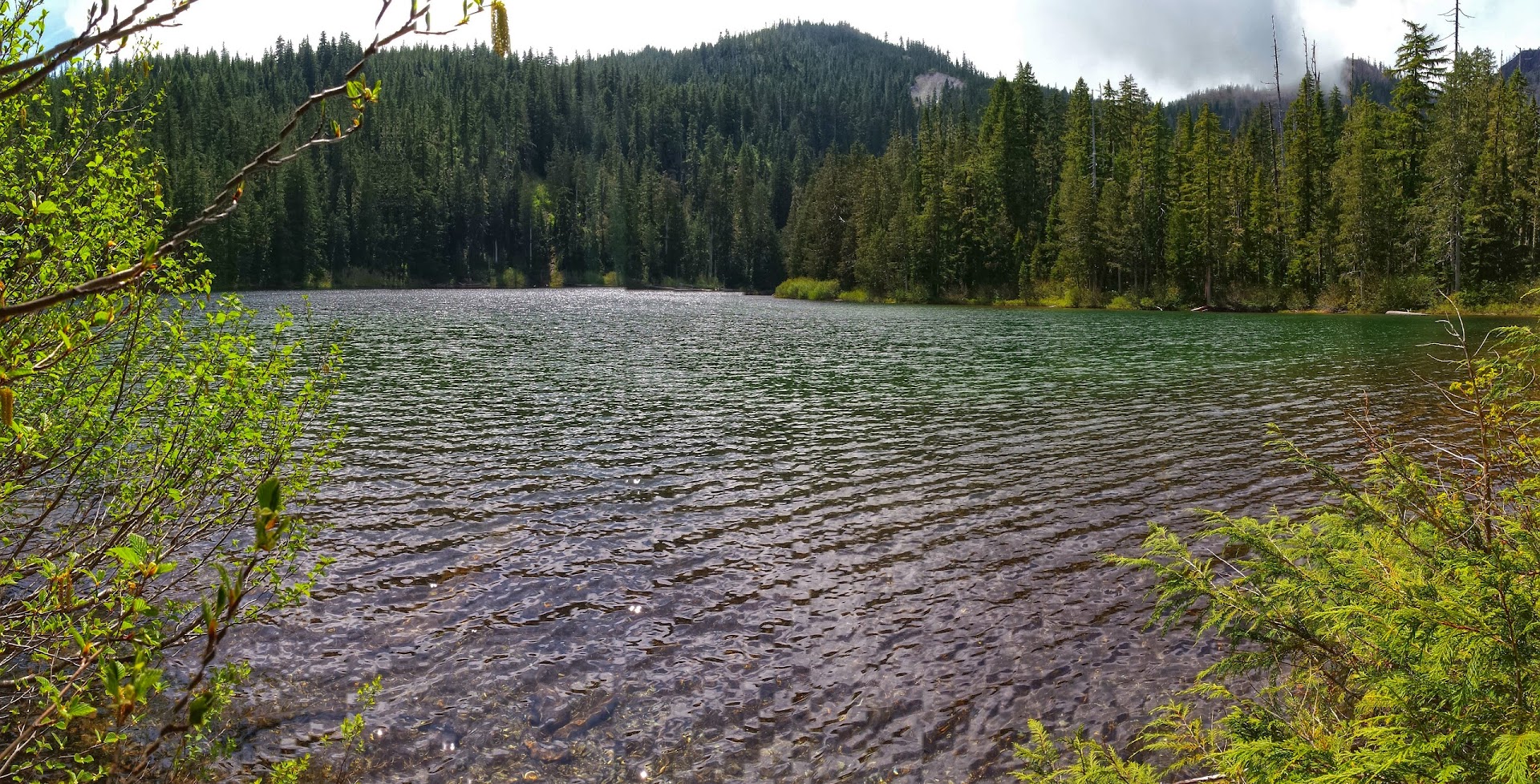
We finally arrived at Upper Twin Lakes, and there were only a few groups already there so we had no trouble securing an out of the way spot. However, only a few weeks ago I was here and didn't see a single human after leaving Bagby HS. This trip we passed several groups everyday, though it didn't feel too crowded thankfully.
Chillin':

We had a windy evening at camp. For some reason near our camp on the East-ish side of the lake was like a wind tunnel between 4-8pm, and I had all my layers on. Then after the sun went down it got eerily still and we enjoyed the smooth surface of the water, the rising moon and our nice fire.
The next day, Monday, we broke camp a little later than we had planned, but we only had about 6 miles to hike so there was no rush. The weather was noticeably clearer every day of our trip and this was definitely the nicest day.
We said goodbye to Twin Lake and climbed out of the basin, turned left on the Bagby Trail #544, where we enjoyed semi-clear views of Olallie Butte (L) and the bottom of Mt. Jefferson (invisible in photo)
There were many good views of the lesser traveled areas to the West, Battle Ax Creek drainage that together with the lovely Opal Creek, flow into the Little North Santiam River. I've never been down there, but I dream about it alot, especially when I read cool reports like Bobcat's exploration of the mines down there.
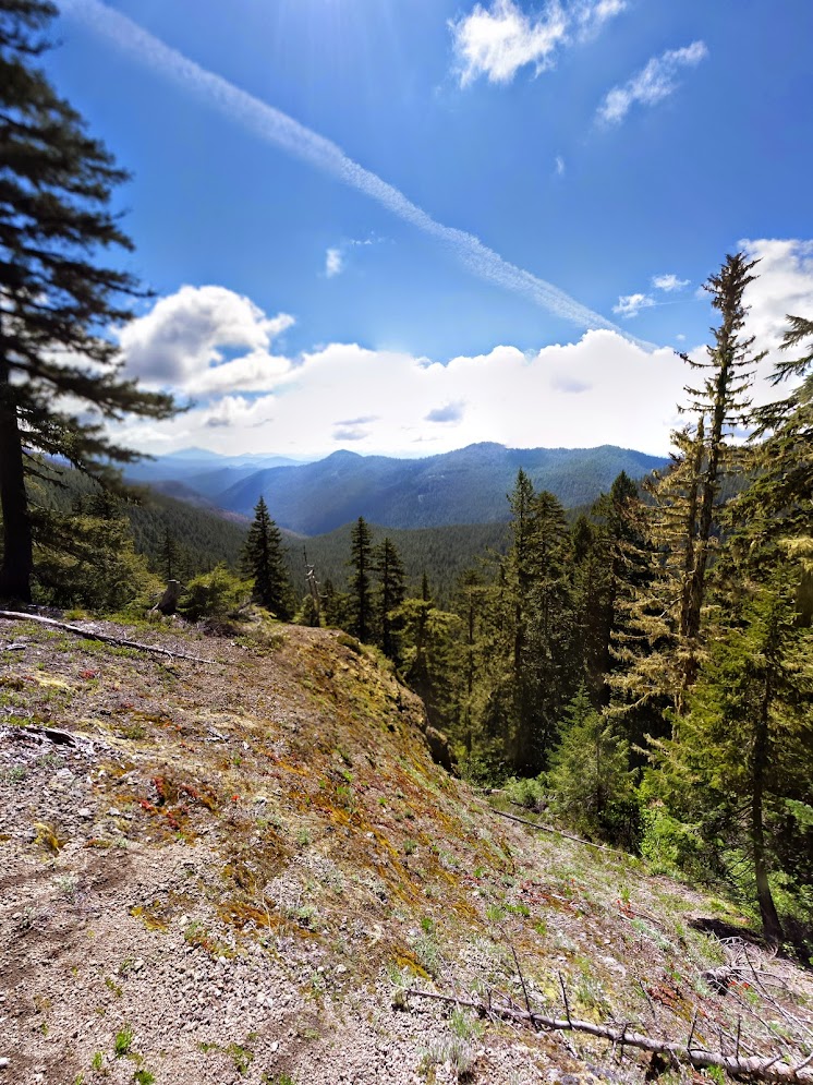
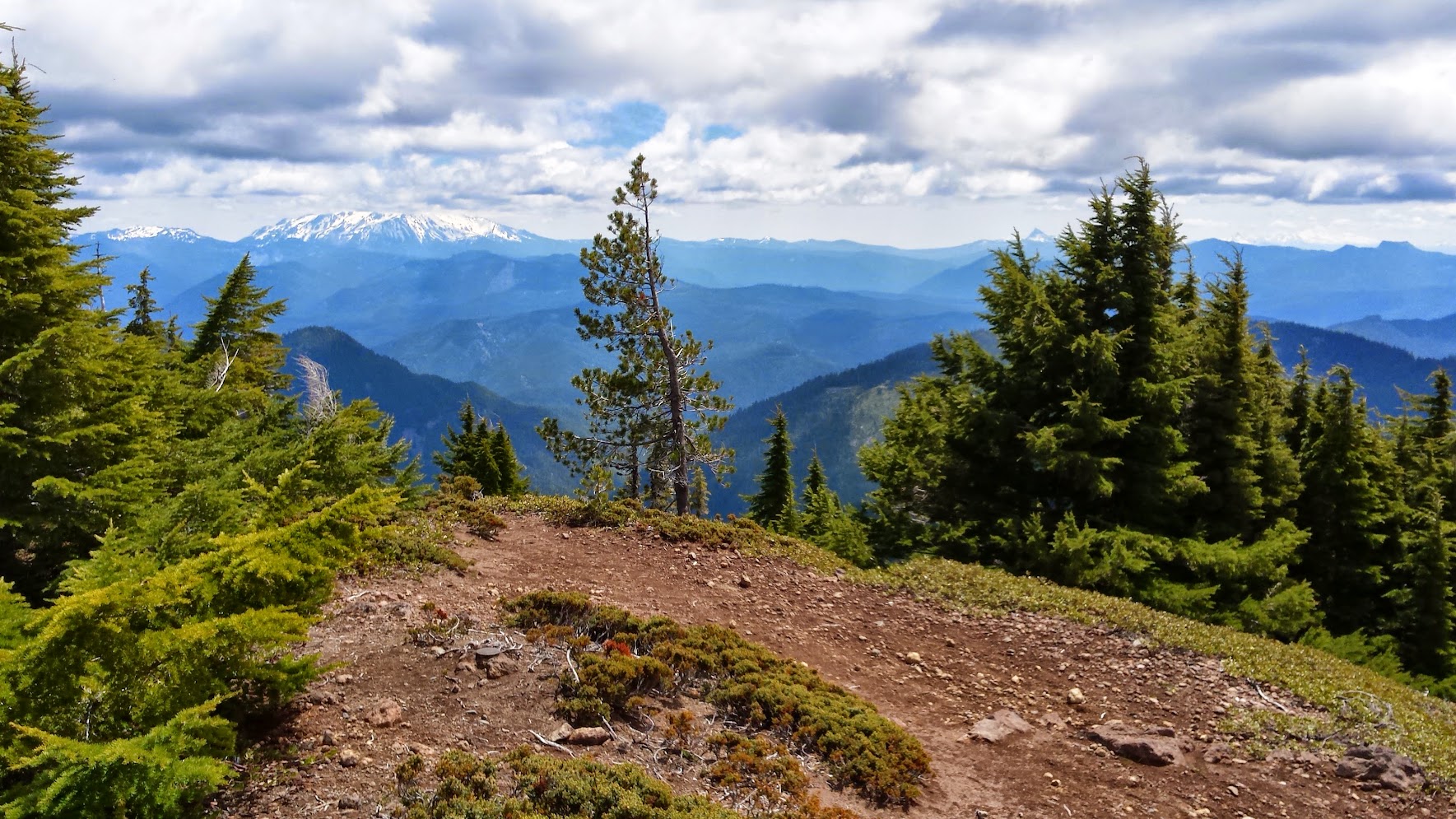
The views South weren't so bad either:

The weather was clearing and we were feeling pretty good, so we decided to try climbing Battle Ax Mtn as a more exciting alternate than returning on the Bagby Trail.
Photos of the journey go from that junction:


Elk Lake:

Mt Beachie:

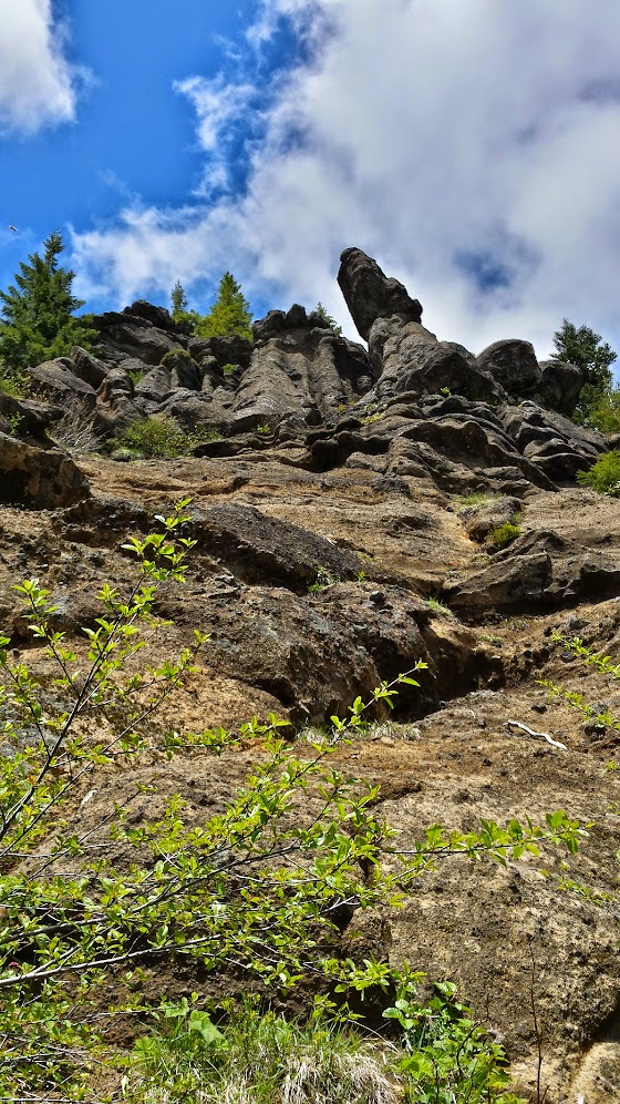
Some crazy Moai-looking rock formations on the journey down the many switchbacks to Beachie Saddle:

Jefferson never quite came all the way out, but it was still awesome:

In case you're like me and always wondered what Beachie Saddle looks like:
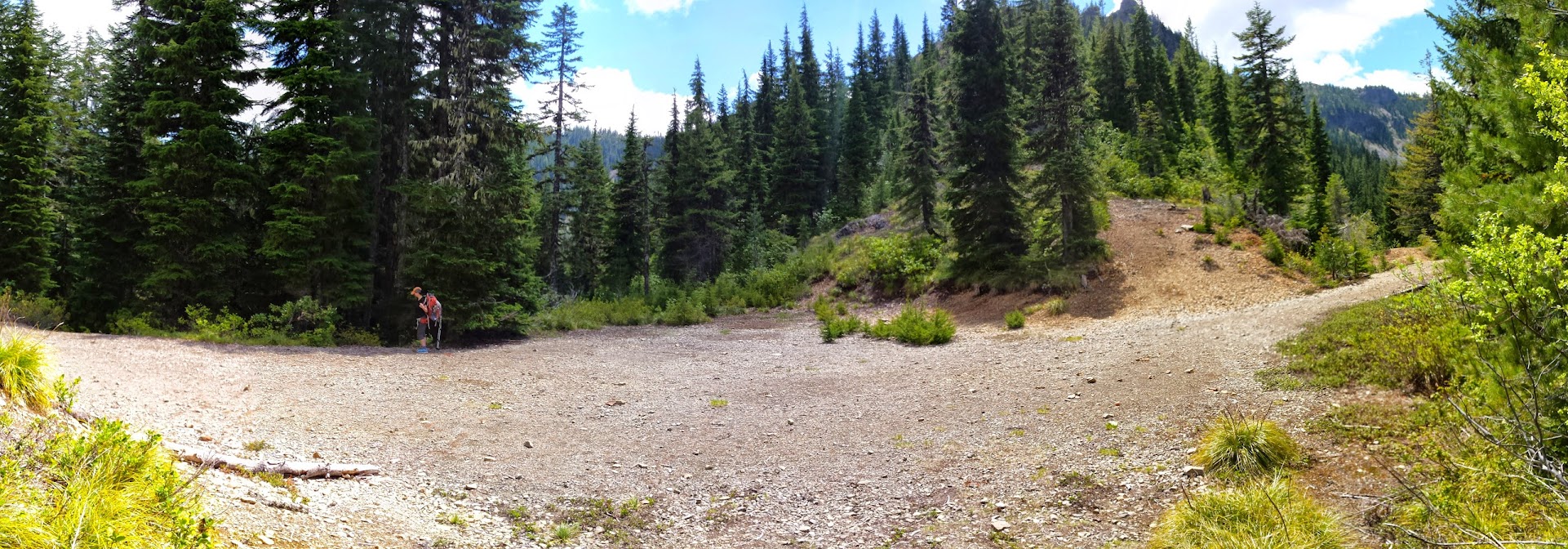
Then it was a short jaunt down the very rough trail (that used to be a road) back to the Elk Lake Campground area.
End of the Bagby Trail #544:
Thanks for reading!


