A bridge has been out on North Fork Smith Trail for a couple years. I couldn't find any specific info online about the bridge or difficulty of crossing the creek so the kids and I went out Saturday morning to take a look for ourselves.
We planned an ambitious 10 mile hike uphill followed by a 7 mile downhill return trip on bicycle.
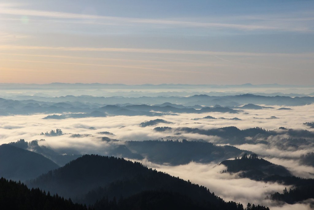
The fog was much prettier from above than it was while I was driving through it for an hour.
After stashing our bikes in the trees along road 919 we made it to North Fork Smith Trailhead a little before 9am.
On the trailhead notice board there was a caution sign and a map with some details about the trail condition.
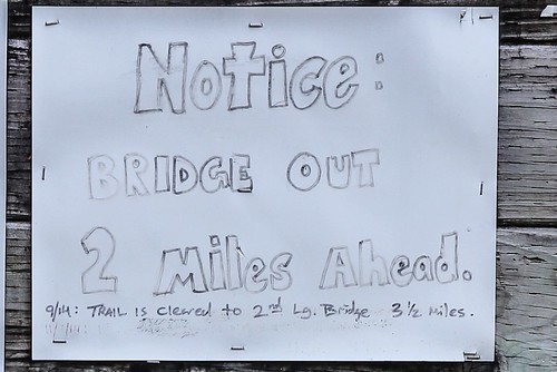
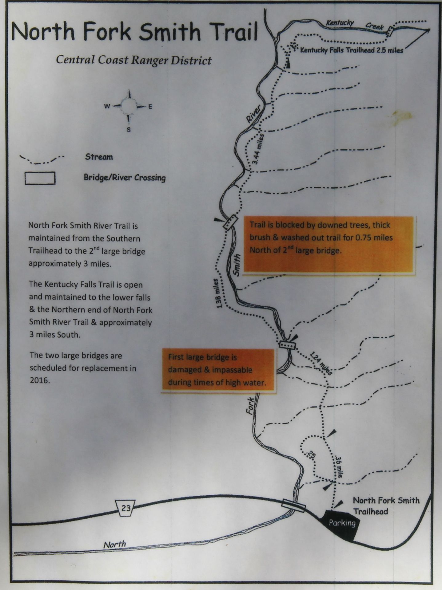
8.5 miles to the next trailhead. Time to get started.
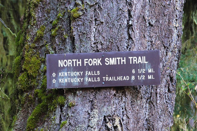
Not far from the trailhead we came to this sign
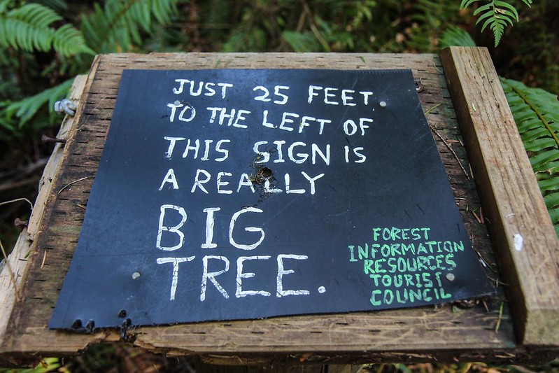
Thank you for the info, Forest Information Resources Tourist Council. But it's not really that big.
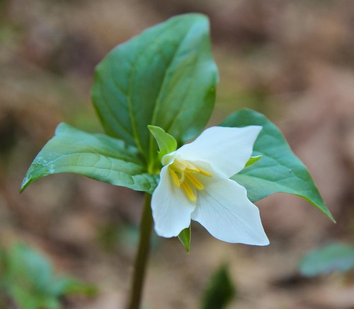
On the lower section of the trail the Trillium were out in force
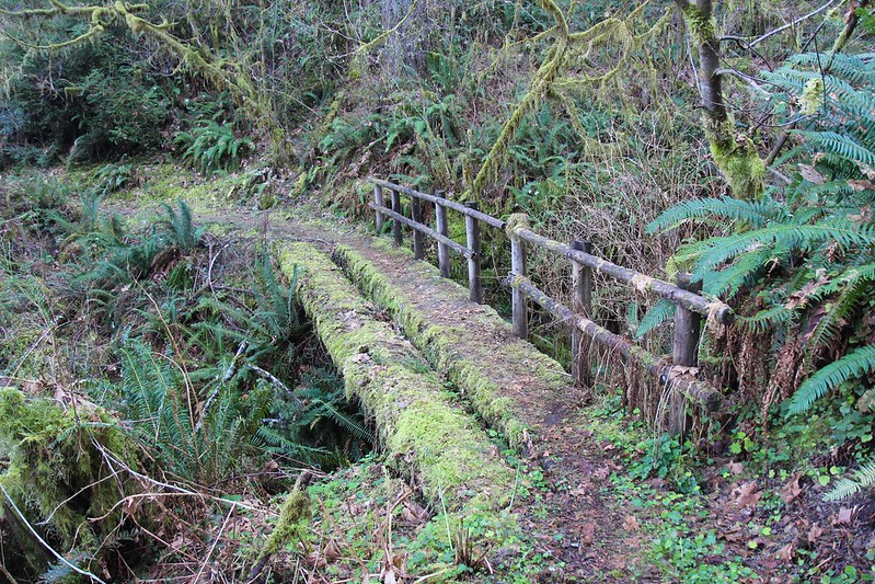
There are a bunch of small bridges along this trail. I think we counted five in the first mile.
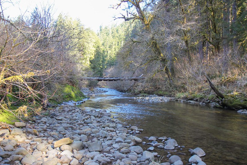
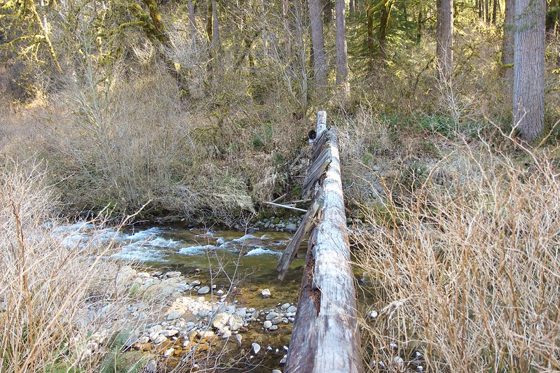
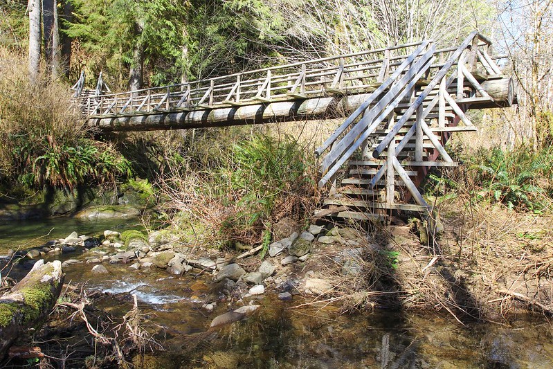
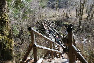
Then we got to the first major bridge. Some people would probably think nothing of walking across a log 12 feet above rushing water and bedrock. I am not one of those people.
We went looking for a reasonable place to cross and found a nice spot a few hundred feet downstream. Here is the bridge from where we crossed.
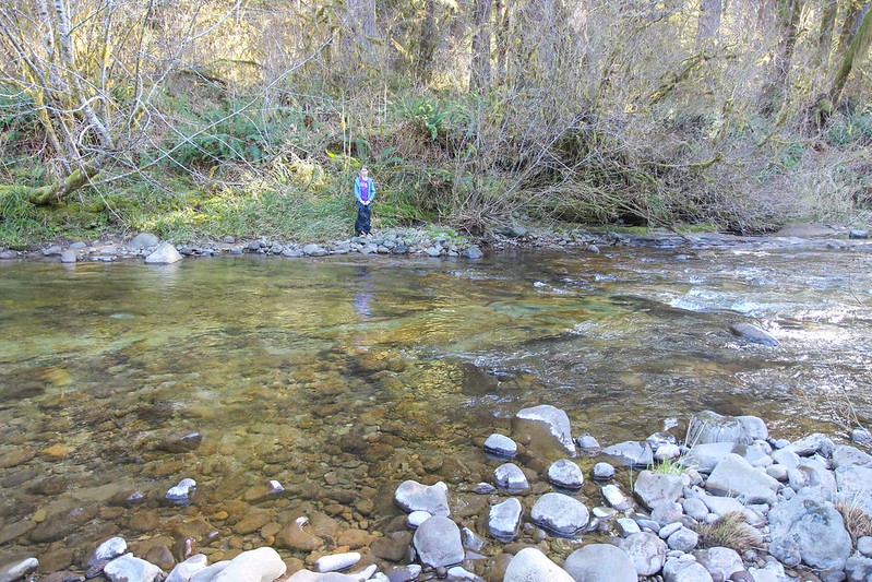
One of the kids waiting for her turn to cross
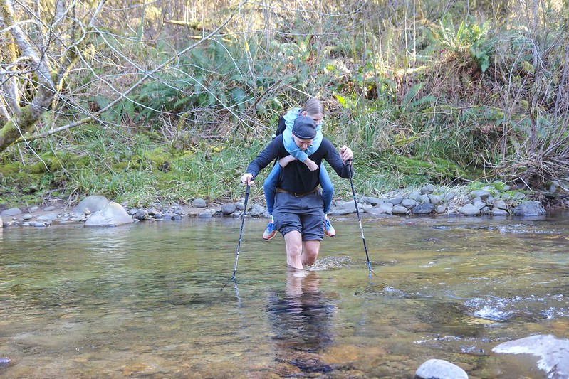
The water was about knee deep and the bottom was pretty friendly to bare feet but after crossing six times my feet were getting really cold.
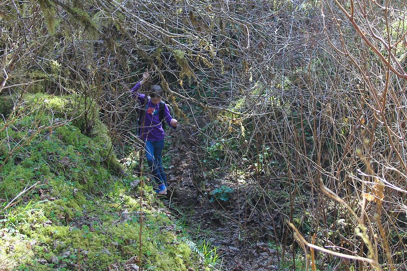
On the other side we had to push through some pretty thick (and somewhat thorny) bushes to get back to the trail. Is that salmonberry bushes? I've never noticed thorns on them before. But I've also never had to walk through them with a seven year old before.
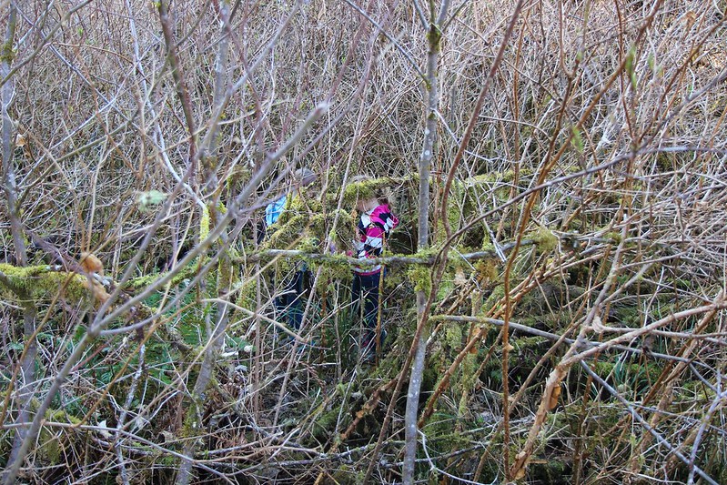
The other side of the bridge, adults(without piggyback kids) might be able to cross just a little upstream from the bridge and save themselves the bushwack.
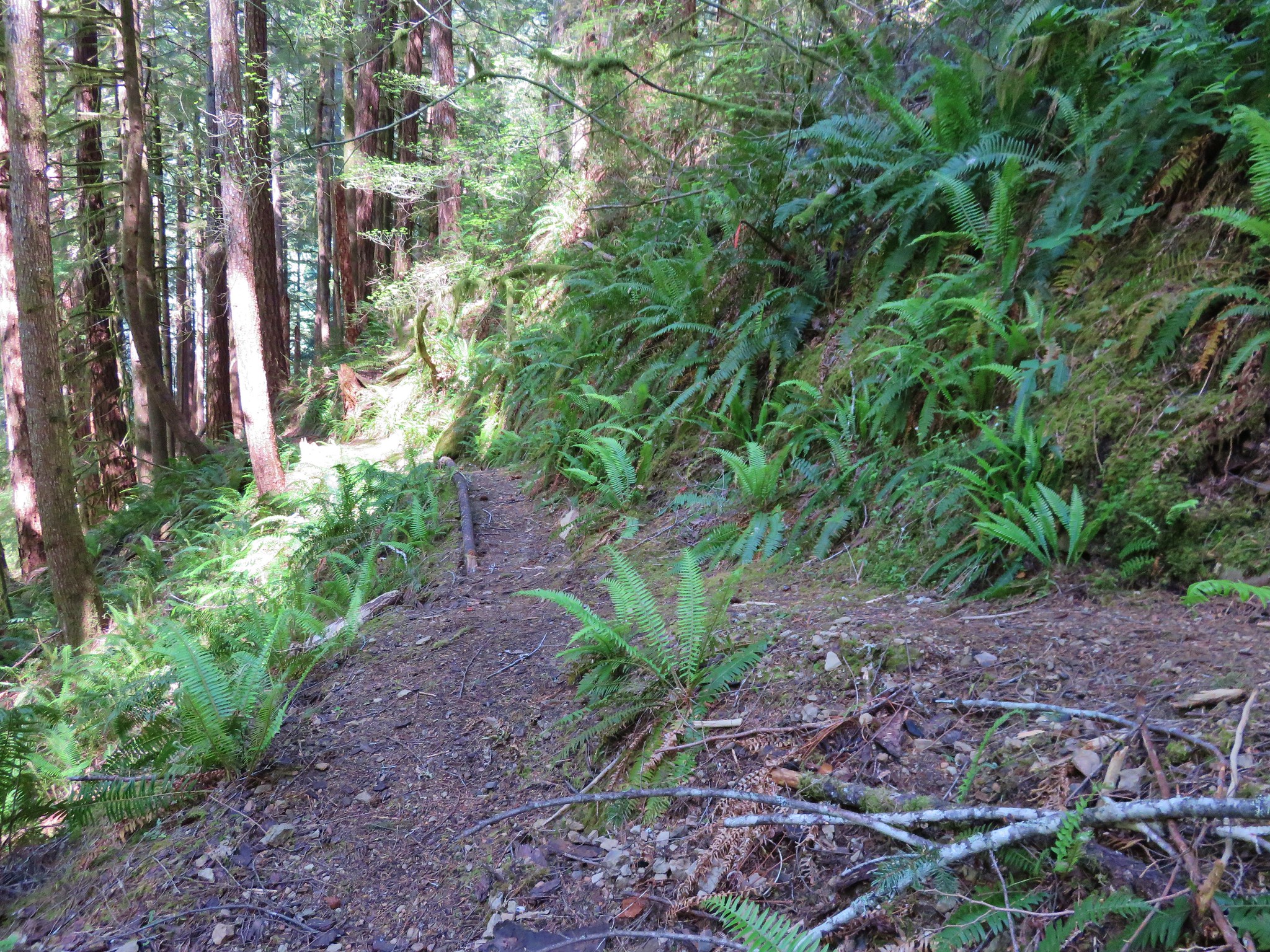
From here to the next major bridge it was obvious that trail crews had been hard at work. Other than a few blow downs the trail was in excellent shape.
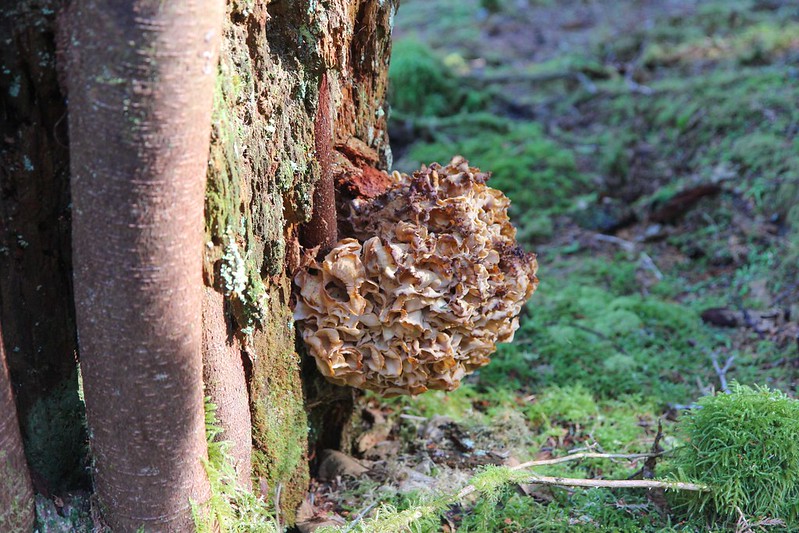
Giant frilly fungus thing, about a foot in diameter.
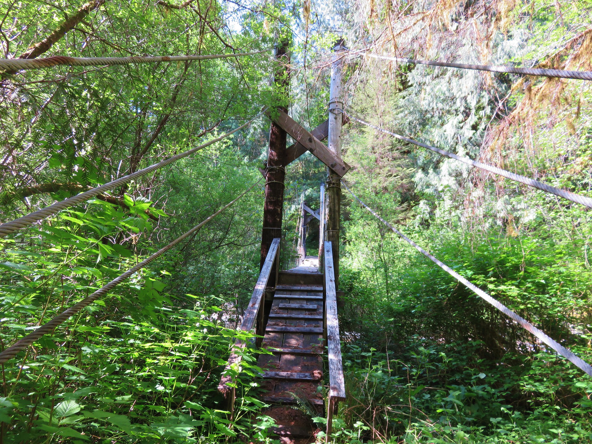
Yay! this bridge isn't broken.
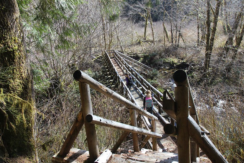
...much...
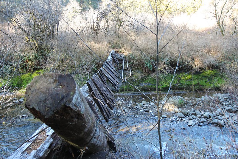
The North side of the second bridge has been washed away, along with 100 feet or so of trail. We had some trouble finding the trail and spent a while wandering around in the mud and bushes.
If you look at this pictures again, the main section of the bridge points right at where the trail reappears.
As promised by the sign at the trailhead the next 3/4 mile of trail was getting a bit overgrown.
We couldn't figure out what this trail-side sign said. It looks like "DOUG FIR HFTD".
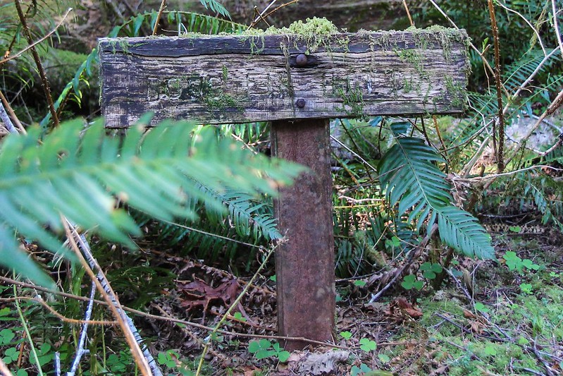
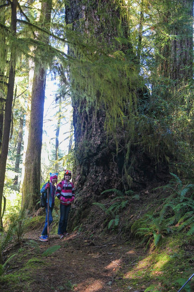
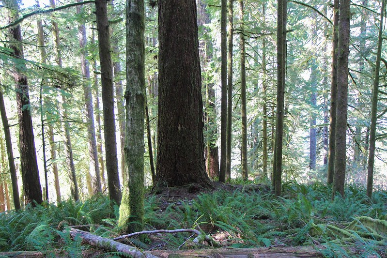
There was a larger than average Douglas Fir right behind the sign.
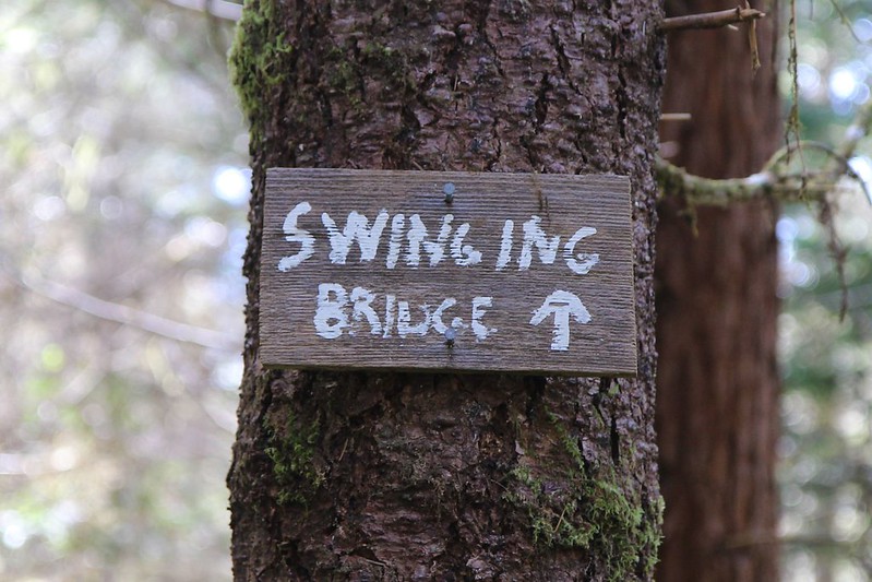
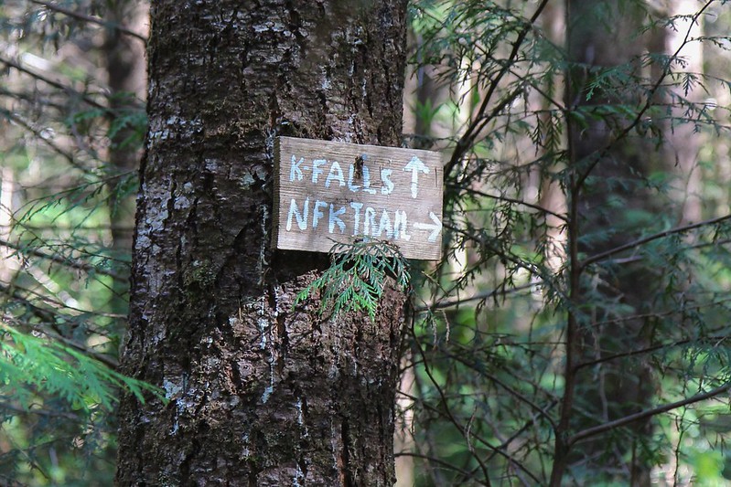
We came to a trail junction right here with these signs. We came from NFK Trail and were headed to K Falls. But what is Swinging Bridge? I wanted to go check it out but we couldn't afford to waste daylight on a side trip. I guess I'll have to go back sometime.
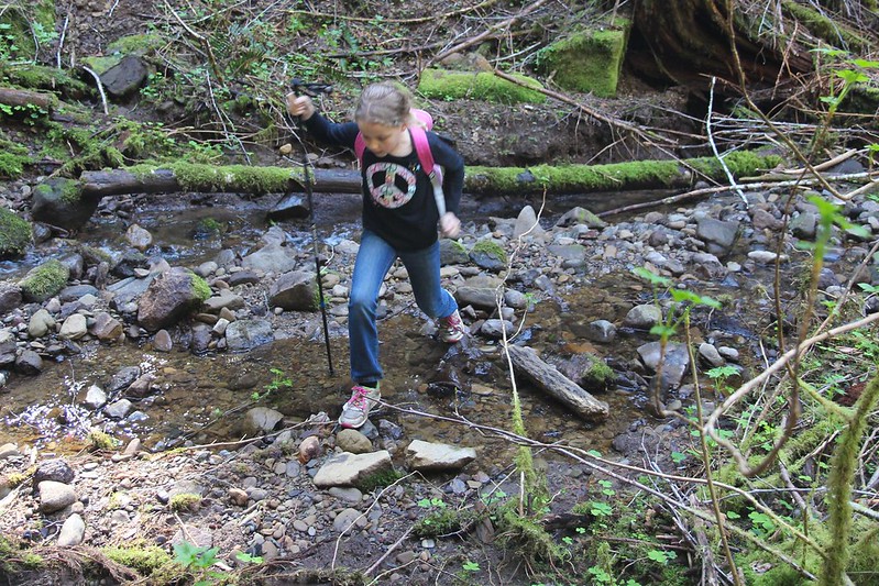
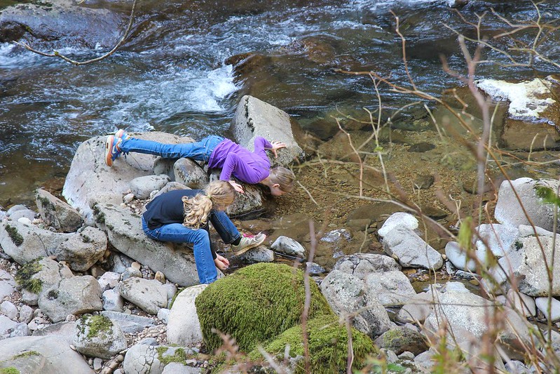
The kids enjoyed crossing lots of little streams on the trail.
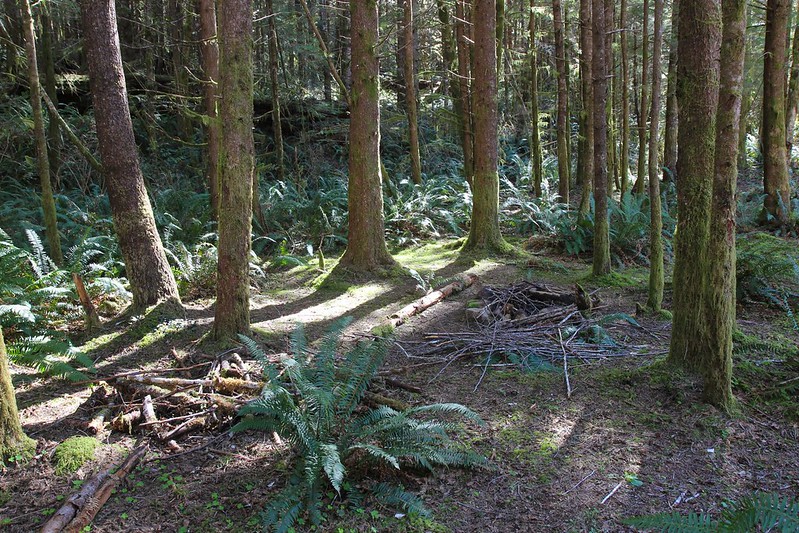
One of the nicer looking campsites
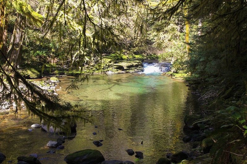
This pool was very inviting. I wouldn't mind coming back and camping near this spot.
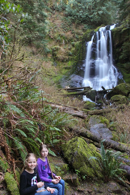
We stopped for a long lunch break at North Fork Falls. Fyi, that big white overexposed blob is a waterfall.
After lunch we dunked our heads in the creek and got back on our way.
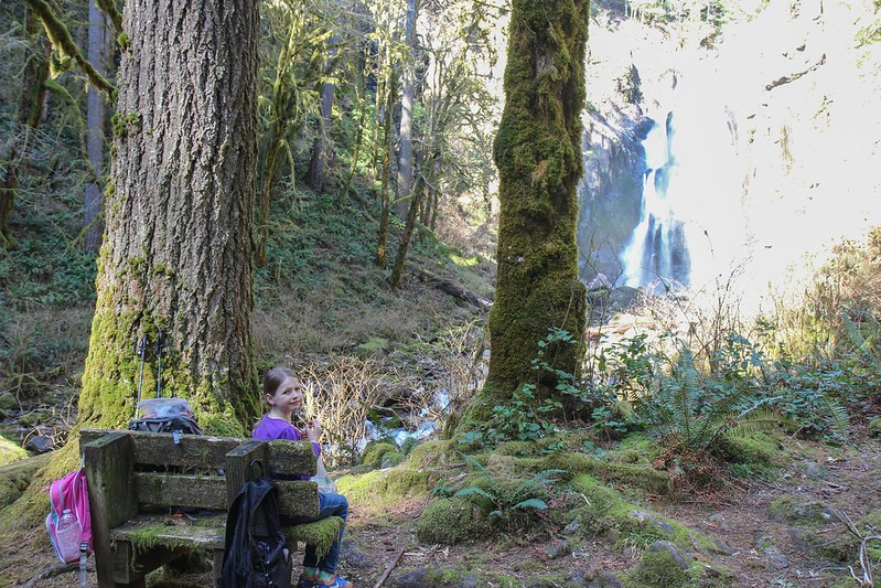
Resting on the stone bench at Upper Kentucky Falls.
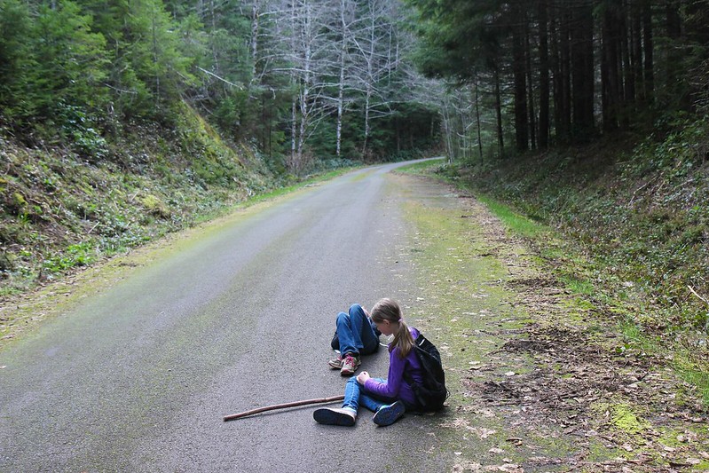
We took another little rest at Kentucky Falls Trailhead before walking our last 1.7 miles up the paved road to where our bikes were hidden. By now I had two very tired little hikers on my hands. One nice woman stopped and asked "Are you doing this on purpose?" as she drove by.
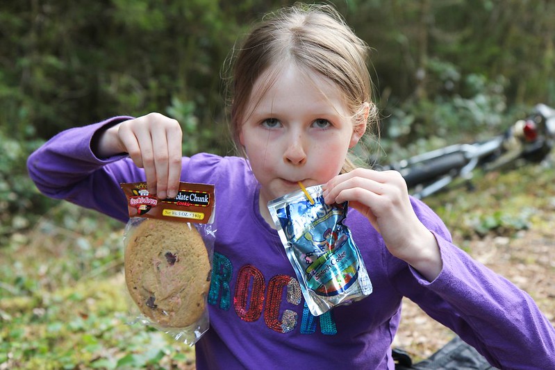
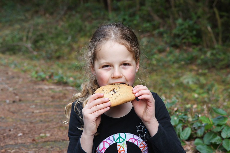
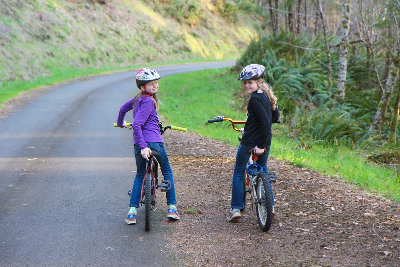
As an extra incentive, I left a container with Caprisun and giant cookies with the bikes. After 10 miles and ~3000 feet of elevation gain they earned their junk food.
Life is better when gravity is doing all the work for you.
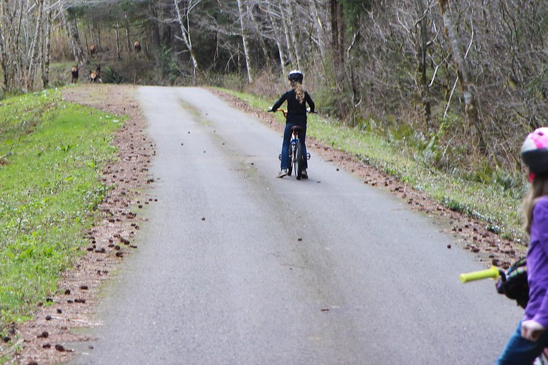
On our way down we spooked some elk off the road.
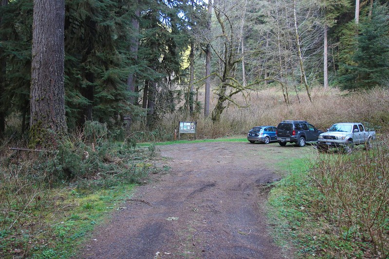
Back at the trailhead with a little daylight to spare. We met a few guys at the trailhead who had hiked 13 miles up to North Fork Falls and back.
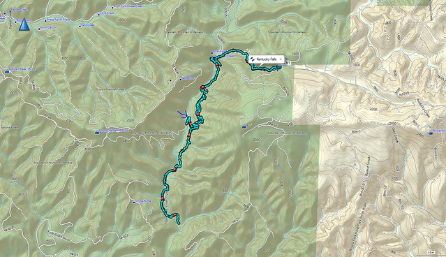
http://gpsfly.org/g/4077