Silver Star (S Ridge) 03-Dec-2014
Posted: December 3rd, 2014, 5:32 pm
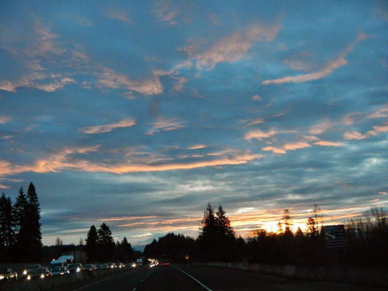
Just a quick hike up my favorite route on Silver Star for some exercise and to see how cold I could get even wearing multiple layers of clothing. Heading E on Hwy 14 toward the TH, I was greeted by a pretty amazing sunrise - totally out of line with the weather forecasts predicting rain and gloom (but they got the cold part right!). The line of headlights to the left is a wreck that pretty much closed W bound 14 right at rush hour. 
From the TH (and I use that term loosely), I followed the "new" logging road up to where (arrow) the old S Ridge trail/road now starts,
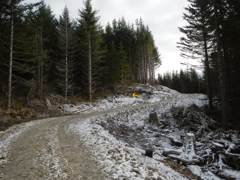
and where it looks like the ATV folks have cleared out the logging trash that clogged the trail last year; now it's wide-open.
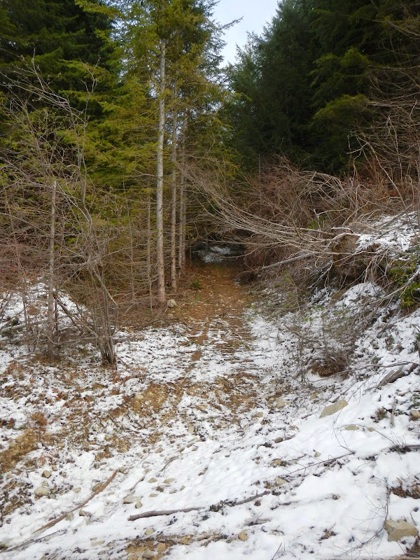
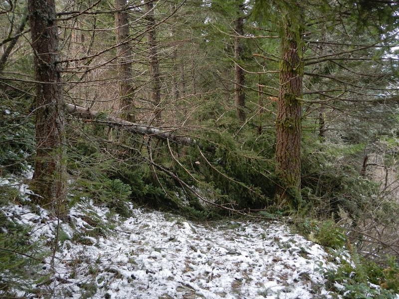
But there is a new clearcut just E of the trail about 0.25 mi N of the logging road and some of the trees that were not cut and removed have now fallen across the trail. The ATV'ers have more work to do.
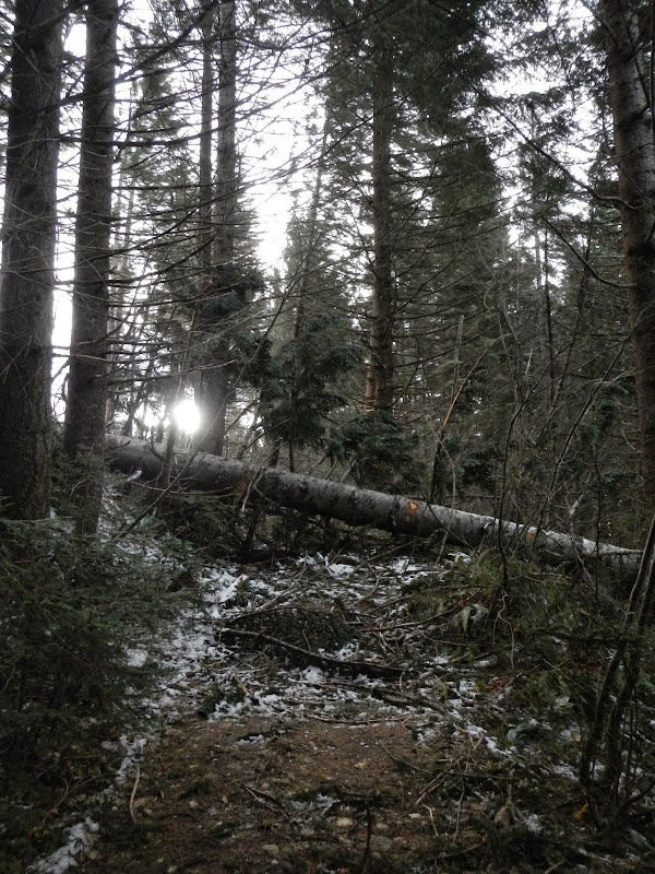
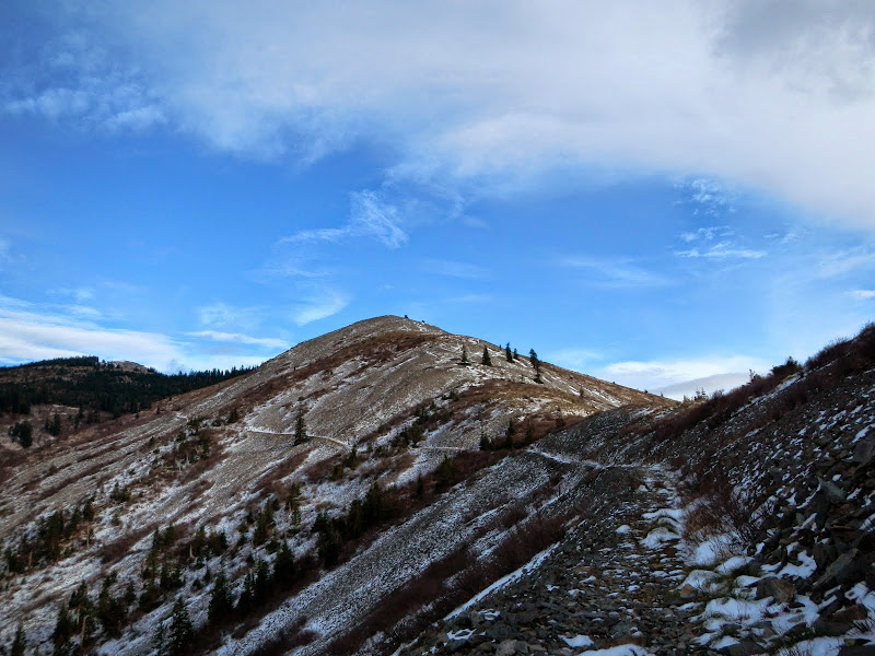
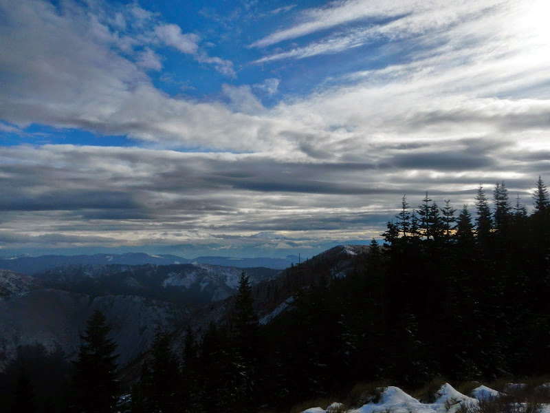
But after that, the trail is open and snow free up to where it turns the corner for the iconic view of the Indian Pits and Silver Star in the distance.
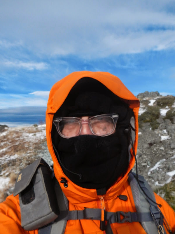
I had heard the wind as I worked my way up the trail to this point, but as I started up the S Ridge, I caught the full, bone chilling force of it! It was something of a struggle to get up the ridge with the wind trying to find its way – and often succeeding – into every crevice in my clothing.
I finally got up past the pits for a view of Three Corner Rock (arrow),
and Hood.
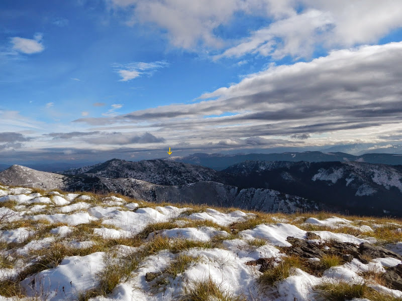
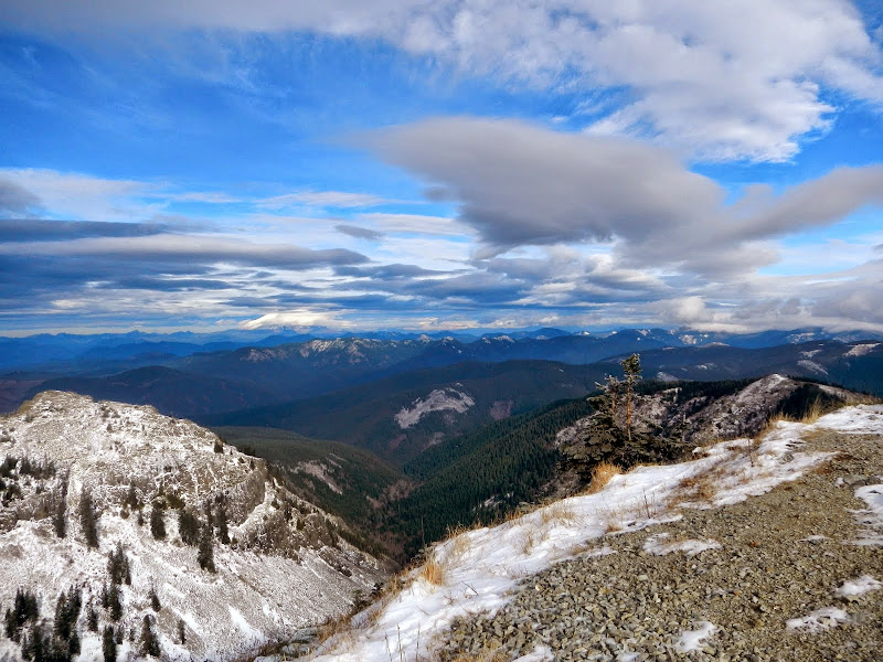
The summit was curiously calm – but still cold – so I paused (briefly) for a view of St. Helens and Rainier,
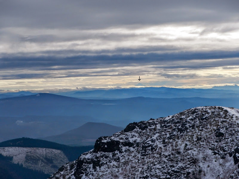
and Jefferson (arrow).
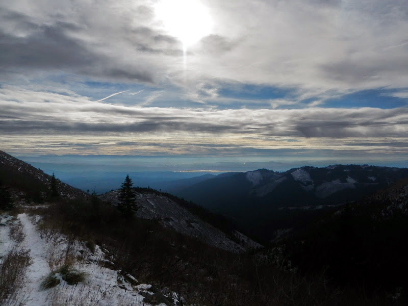
On the way back, I could see the sun glinting off the Columbia.
I have a Discover Pass but forgot to put it out today, so this was waiting for me when I got back to my car.
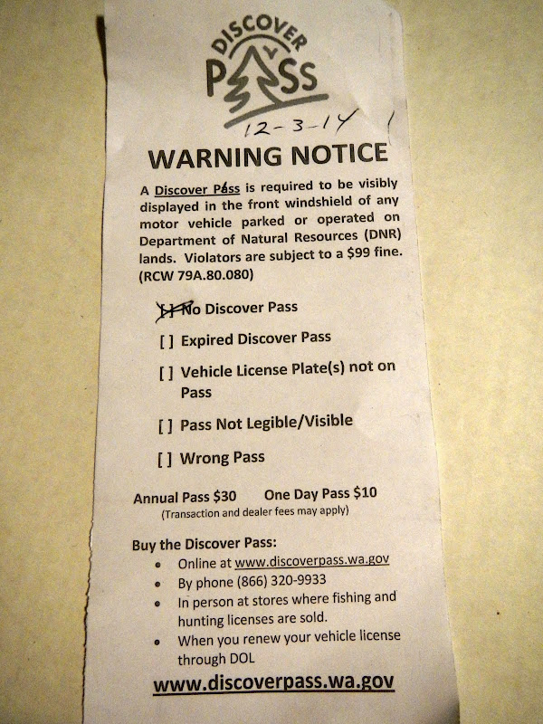
So, yes, you need a Discover Pass even at the S Ridge TH (which is really only a logging road and a gravel pile). What amazes me is that someone was patrolling on a freezing cold Wednesday in December? The informal campsite below the road near the bridge has also now been “removed”, so I guess DNR is busy these days.
Classic short hike (8 mi RT, 2300’ EG) but with great views (despite the wind and the cold).
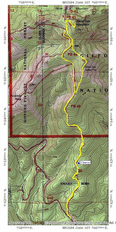
From the TH (and I use that term loosely), I followed the "new" logging road up to where (arrow) the old S Ridge trail/road now starts,
and where it looks like the ATV folks have cleared out the logging trash that clogged the trail last year; now it's wide-open.
But there is a new clearcut just E of the trail about 0.25 mi N of the logging road and some of the trees that were not cut and removed have now fallen across the trail. The ATV'ers have more work to do.
But after that, the trail is open and snow free up to where it turns the corner for the iconic view of the Indian Pits and Silver Star in the distance.
I had heard the wind as I worked my way up the trail to this point, but as I started up the S Ridge, I caught the full, bone chilling force of it! It was something of a struggle to get up the ridge with the wind trying to find its way – and often succeeding – into every crevice in my clothing.
I finally got up past the pits for a view of Three Corner Rock (arrow),
and Hood.
The summit was curiously calm – but still cold – so I paused (briefly) for a view of St. Helens and Rainier,
and Jefferson (arrow).
On the way back, I could see the sun glinting off the Columbia.
I have a Discover Pass but forgot to put it out today, so this was waiting for me when I got back to my car.
So, yes, you need a Discover Pass even at the S Ridge TH (which is really only a logging road and a gravel pile). What amazes me is that someone was patrolling on a freezing cold Wednesday in December? The informal campsite below the road near the bridge has also now been “removed”, so I guess DNR is busy these days.
Classic short hike (8 mi RT, 2300’ EG) but with great views (despite the wind and the cold).