Gumjuwac - Badger Lk Loop 01-Nov-2014
Posted: November 2nd, 2014, 6:45 am
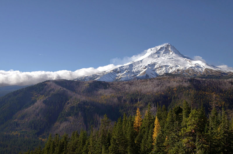
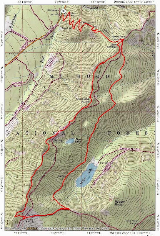
When considering where to hike this weekend, it wasn't clear which way the weather was going, but something in Hood's rain shadow looked like a good bet (as it turned out, it was an as near to perfect full bluebird day as you could expect for November!). Thanks to bobcat's great write-ups in the Field Guide, I have been ticking off (and greatly enjoying  ) hikes in the Badger Ck Wilderness. One I hadn't yet done was the loop through Camp Windy. After an early morning drive through Fall colors in the Hood River Valley, I was able to get up the Gumjuwac trail (#480) far enough and fast enough (ok, not Sean fast but good enough) to catch the sunrise on Mt. Hood.
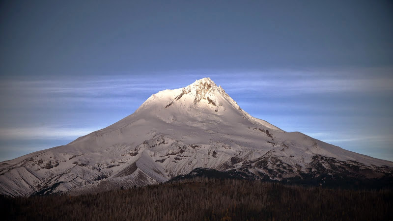
and the clouds being held at bay to the west.
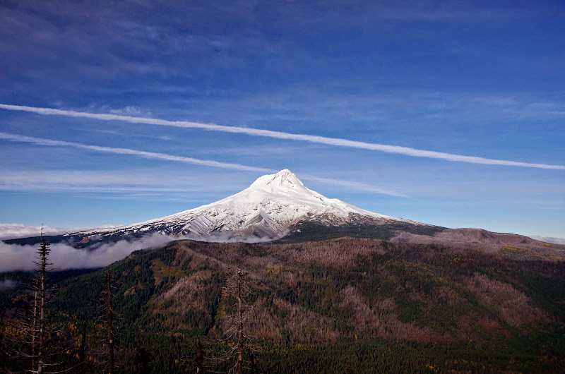
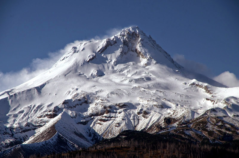
From Gumjuwac Saddle, I took the Gunsight trail (#685) SW to Gunsight Butte, where there were even more great views of Hood,
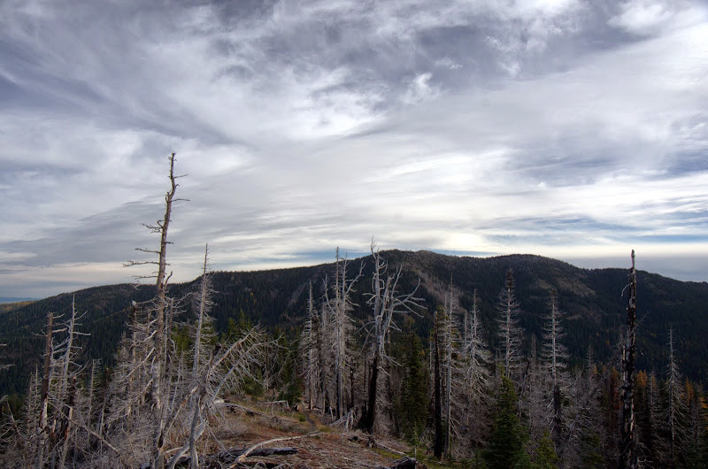
and of Lookout Mtn - which had a light dusting of snow / frost which quickly dissipated in the morning light.
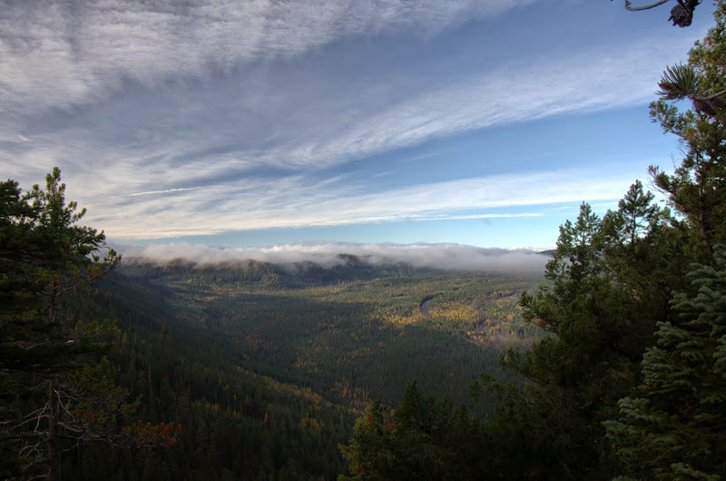
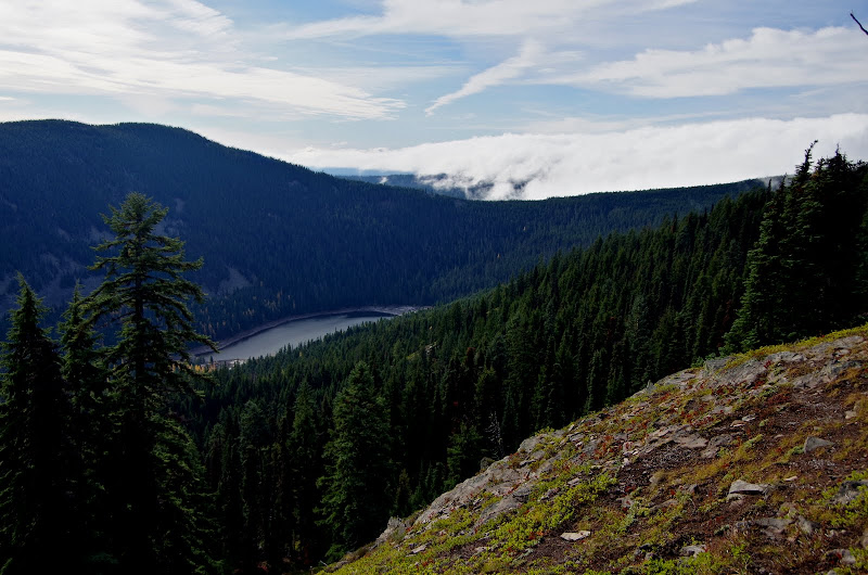
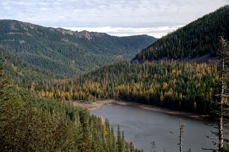
The 685 trail connects (briefly) with Bennett Pass Road at an opening in the forest, from where you can get a view down to Badger Lake.
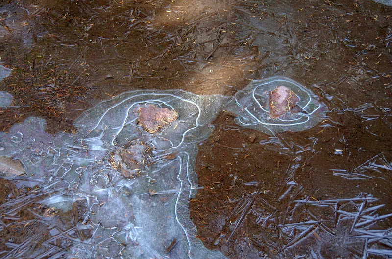
It was clear and sunny, with a light wind in places, but it was also cold - there were patches of old snow above 5,000' and all the puddles on the road were iced over.
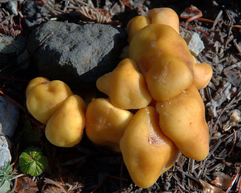
But despite the cold temperatures, various mushrooms were still trying to get one more batch of spores out before winter actually started.
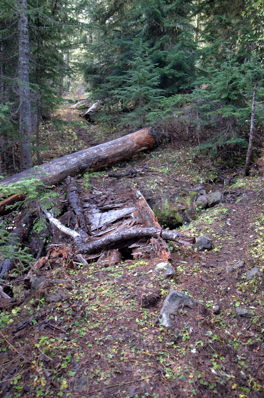
Both the 480 and 685 trails were in good shape but the junction with the Camp Windy trail (#685B) wasn't obvious (or I was just daydreaming) and I had to double back a bit to find it. Once found, it was easy to follow. It does, however, bring you down into a confusing intersection of different roads and despite bobcat's directions, I lost the 685B at this point and ended up just following the road (FR 4860) down to the Badger Ck Upper TH, where I did find the end of the 685B and the start of the Badger Ck trail (#479). This section of the 479 down to its junction with the Divide trail (#458) has not seen much maintenance lately and, while easy to hike, is starting to suffer from ground slippage, trees tipping over and ripping it out, and large fallen trees, one of which took out the remains of a small bridge.
Although mostly in the trees, there is one spot on the 479 where I got a nice view of Badger Lk (at very low water) surrounded by some Fall colors.
Then it was up the Divide trail (good condition) to Gumjuwac Saddle and down the 480, stopping at its one great viewpoint of Hood to see how the mountain was holding back the clouds of gloom to the W. I drove back to Portland via Government Camp and was hit by rain as soon as I turned from Hwy 35 to Hwy 26.
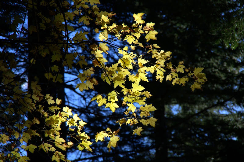
One last glimpse of Fall colors,
and then back to the TH. Good little loop, with great viewing opportunities of Hood (14 mi RT, 3200' EG) and a lake to stop at for lunch (better in the summer). If I did it again, I'd try harder to find the upper end of 685B and thus avoid the road. It should be noted, however, that while the trails in this wilderness area are numbered, and there are sometimes signs indicating an actual trail, there is often just a generic sign (so at least you know its a trail, just not which one) or no sign at all. So it's always a bit of an adventure!
and the clouds being held at bay to the west.
From Gumjuwac Saddle, I took the Gunsight trail (#685) SW to Gunsight Butte, where there were even more great views of Hood,
and of Lookout Mtn - which had a light dusting of snow / frost which quickly dissipated in the morning light.
The 685 trail connects (briefly) with Bennett Pass Road at an opening in the forest, from where you can get a view down to Badger Lake.
It was clear and sunny, with a light wind in places, but it was also cold - there were patches of old snow above 5,000' and all the puddles on the road were iced over.
But despite the cold temperatures, various mushrooms were still trying to get one more batch of spores out before winter actually started.
Both the 480 and 685 trails were in good shape but the junction with the Camp Windy trail (#685B) wasn't obvious (or I was just daydreaming) and I had to double back a bit to find it. Once found, it was easy to follow. It does, however, bring you down into a confusing intersection of different roads and despite bobcat's directions, I lost the 685B at this point and ended up just following the road (FR 4860) down to the Badger Ck Upper TH, where I did find the end of the 685B and the start of the Badger Ck trail (#479). This section of the 479 down to its junction with the Divide trail (#458) has not seen much maintenance lately and, while easy to hike, is starting to suffer from ground slippage, trees tipping over and ripping it out, and large fallen trees, one of which took out the remains of a small bridge.
Although mostly in the trees, there is one spot on the 479 where I got a nice view of Badger Lk (at very low water) surrounded by some Fall colors.
Then it was up the Divide trail (good condition) to Gumjuwac Saddle and down the 480, stopping at its one great viewpoint of Hood to see how the mountain was holding back the clouds of gloom to the W. I drove back to Portland via Government Camp and was hit by rain as soon as I turned from Hwy 35 to Hwy 26.
One last glimpse of Fall colors,
and then back to the TH. Good little loop, with great viewing opportunities of Hood (14 mi RT, 3200' EG) and a lake to stop at for lunch (better in the summer). If I did it again, I'd try harder to find the upper end of 685B and thus avoid the road. It should be noted, however, that while the trails in this wilderness area are numbered, and there are sometimes signs indicating an actual trail, there is often just a generic sign (so at least you know its a trail, just not which one) or no sign at all. So it's always a bit of an adventure!
