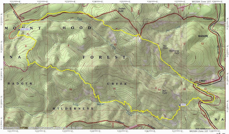
Little Badger Ck / Tygh Ck Loop 21-Oct-2014
Posted: October 22nd, 2014, 3:38 pm
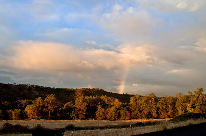
Having lost last weekend to "stuff" (i.e., not hiking), I started looking for a hike to squeeze in before the next wall of rain arrived. "Q's" recent question (here) about how to pronounce "Tygh" pointed me to two hikes in Hood's rain shadow that I hadn't done before - lower Little Badger Ck and Tygh Ck. With an early start from Portland, I was able to reach the TH before 8am and was rewarded by a rainbow. 
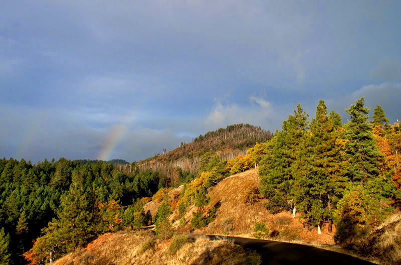
I parked at the Tygh Ck TH (no signage) and walked S on FR 27, under the gaze of yet another rainbow!
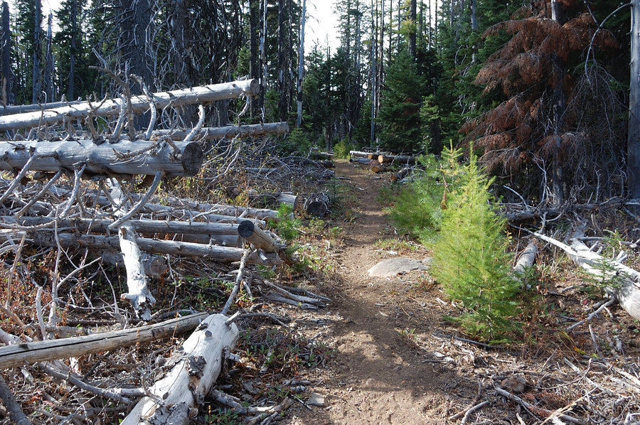
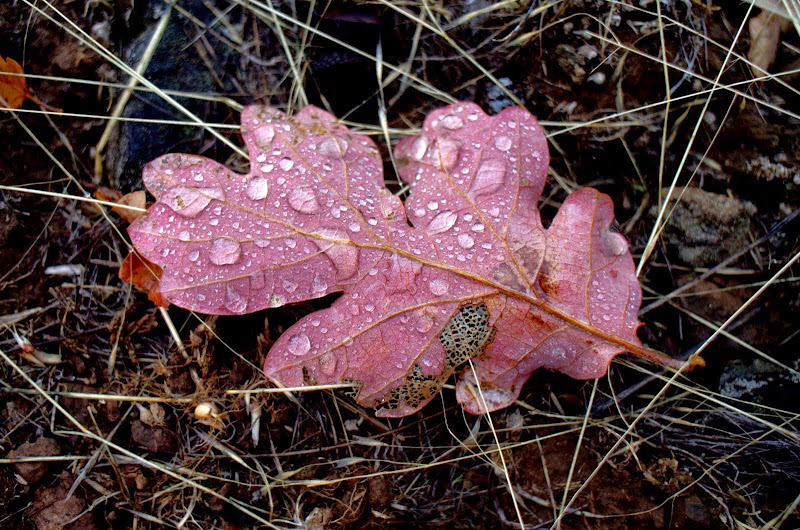
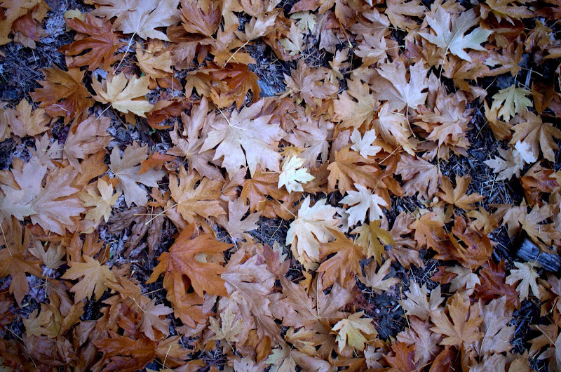
Rather than walk the road to the School Cyn TH or (worse) to the Badger Ck TH, I left FR 27 and headed XC to intersect the School Cyn trail (#468) at about 3,000', taking in some forest details along the way.
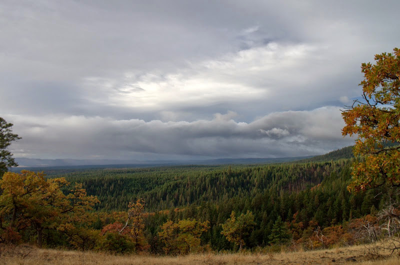
From the School Cyn trail, I got a view of the clouds to the S - the issue was whether the rain shadow was going to hold none, some, or all of them back.
There was a clear use trail that left the School Cyn trail here, descended to a seep at about 2,800', and then continued - with less clarity - into the Little Badger Ck drainage.
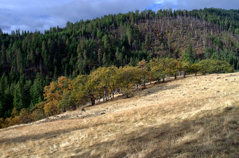
I followed this trail - off and on - as it contoured into the drainage and eventually emerged into some large meadows on the N side of the creek.
I kept contouring - noticing those small details - until I intersected the Badger Ck trail at about the 2,800' contour,

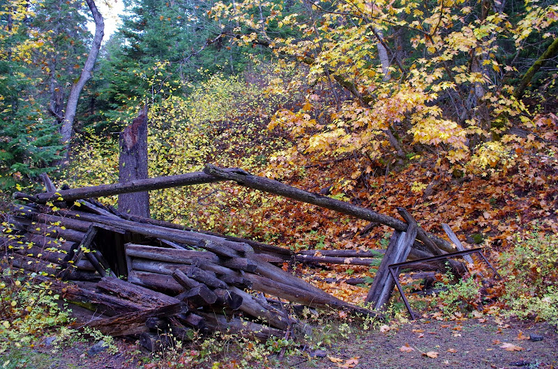
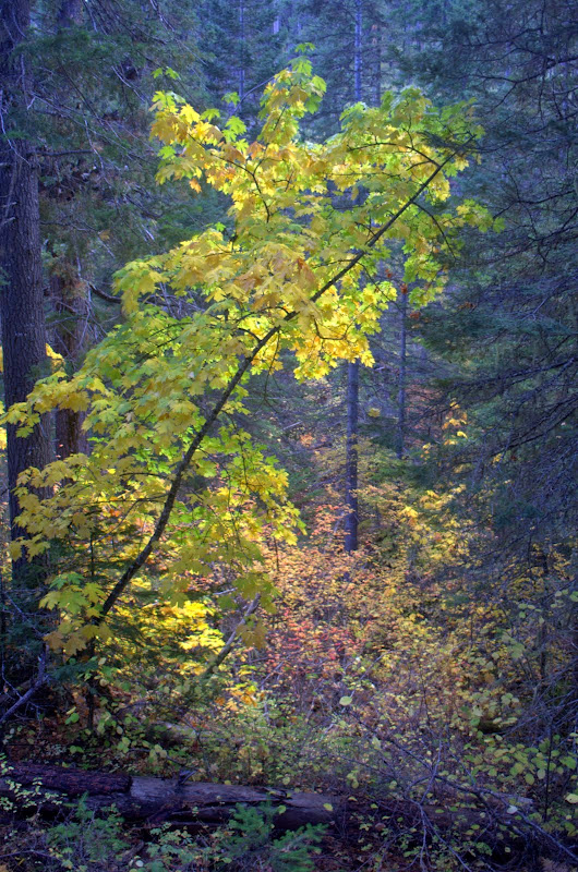
and then followed it through autumn colors to the old Kinzel Mine cabin (which seems to be falling apart at an alarming rate) and
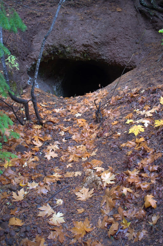
mine shaft. Some old records suggest they were trying to mine bauxite (1946 report) but eventually realized they were mining for plain old clay.
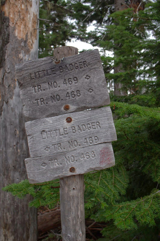
Then it was up the (steep!) Little Badger Ck trail to the School Cyn trail atop the ridge, then W on it,
to its junction with the unsigned Tygh Ck Way trail (which is directly behind you as you face this sign). The weather had been clouds and sunbreaks to this point but the rain started just after I finished a hurried lunch. Fortunately, it only rained lightly for half an hour before going back to clouds and sunbreaks.
The Way trail starts as an old road,
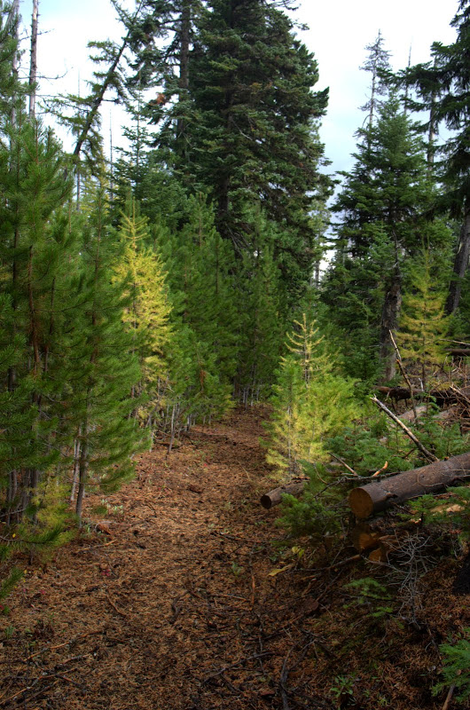
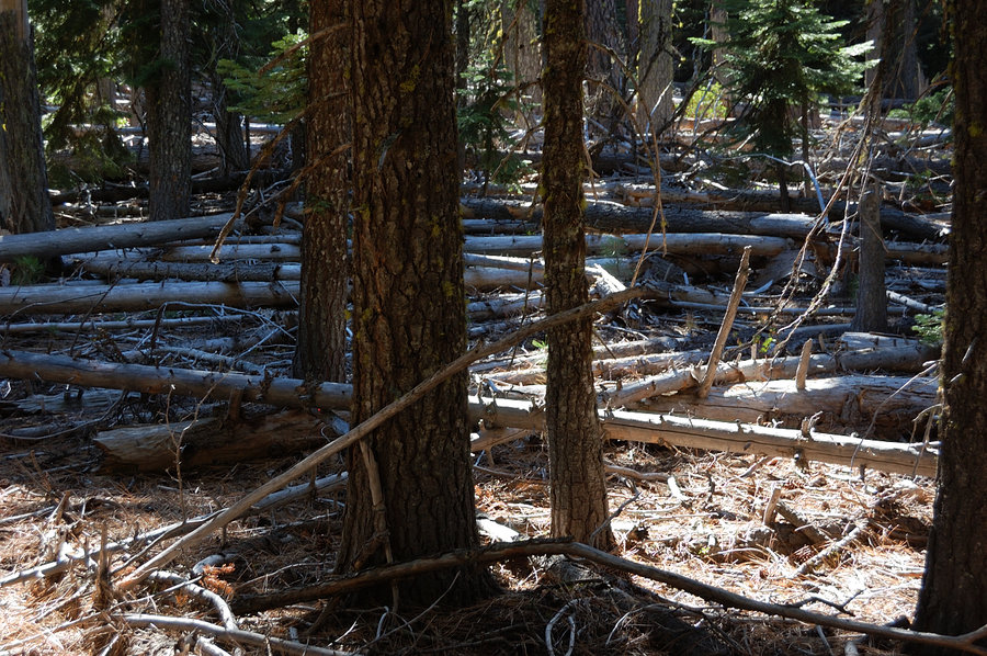
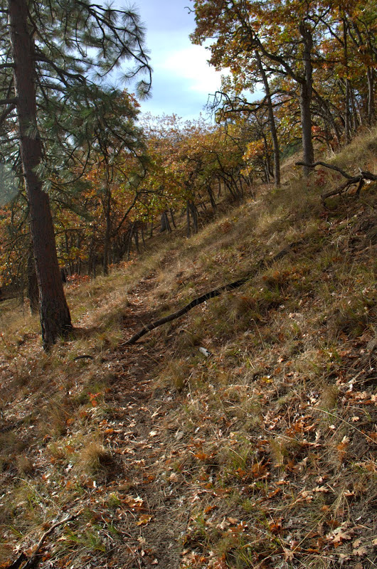
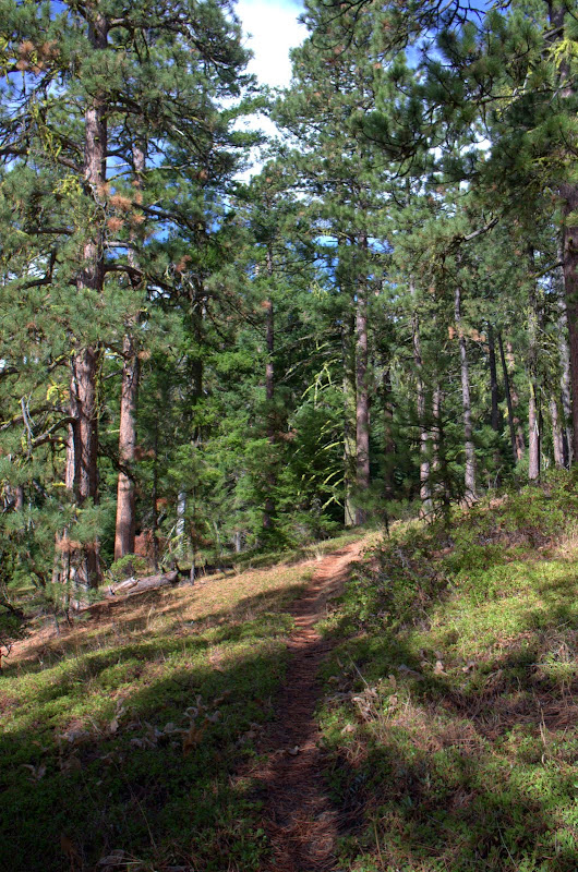
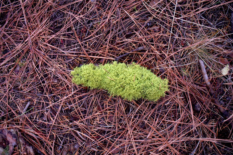
but then devolves into an obvious trail that has seen a lot of maintenance to clear it of an astounding number of downed trees (thanks to mtnhiker56). It was easy to follow so, of course, I had to try a XC shortcut from it to the Tygh Ck trail - bad idea, as I got to experience 0.5 mi of uncleared blowdown. The Tygh Ck trail (#460) - although sketchy in spots - was pretty easy to follow, which allowed for more forest details,
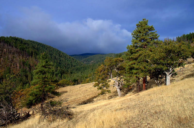
and one of the few views available on this loop.
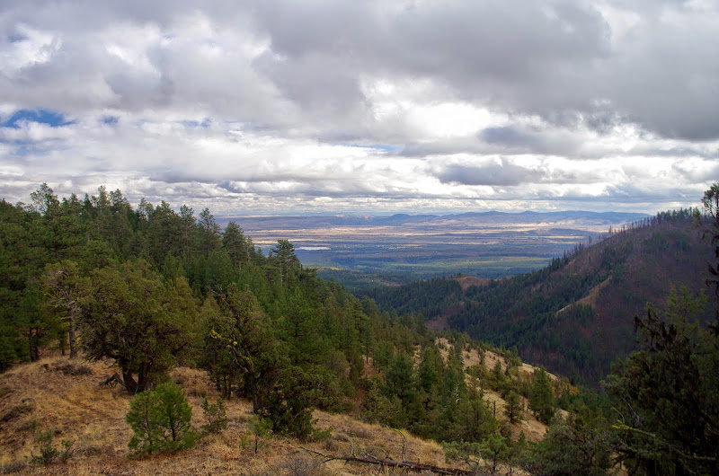
This trail ambles along the ridge for quite a distance and then, shortly after the Jordon Butte trail junction, plunges down into the canyon before leveling off in a riparian forest,
just before reaching the TH at FR 27. Great hike - the weather mostly cooperated, there were lots of falls colors, and the trails were in good to excellent condition! 13 mi RT, 3200' EG.
I parked at the Tygh Ck TH (no signage) and walked S on FR 27, under the gaze of yet another rainbow!
Rather than walk the road to the School Cyn TH or (worse) to the Badger Ck TH, I left FR 27 and headed XC to intersect the School Cyn trail (#468) at about 3,000', taking in some forest details along the way.
From the School Cyn trail, I got a view of the clouds to the S - the issue was whether the rain shadow was going to hold none, some, or all of them back.
There was a clear use trail that left the School Cyn trail here, descended to a seep at about 2,800', and then continued - with less clarity - into the Little Badger Ck drainage.
I followed this trail - off and on - as it contoured into the drainage and eventually emerged into some large meadows on the N side of the creek.
I kept contouring - noticing those small details - until I intersected the Badger Ck trail at about the 2,800' contour,
and then followed it through autumn colors to the old Kinzel Mine cabin (which seems to be falling apart at an alarming rate) and
mine shaft. Some old records suggest they were trying to mine bauxite (1946 report) but eventually realized they were mining for plain old clay.
Then it was up the (steep!) Little Badger Ck trail to the School Cyn trail atop the ridge, then W on it,
to its junction with the unsigned Tygh Ck Way trail (which is directly behind you as you face this sign). The weather had been clouds and sunbreaks to this point but the rain started just after I finished a hurried lunch. Fortunately, it only rained lightly for half an hour before going back to clouds and sunbreaks.
The Way trail starts as an old road,
but then devolves into an obvious trail that has seen a lot of maintenance to clear it of an astounding number of downed trees (thanks to mtnhiker56). It was easy to follow so, of course, I had to try a XC shortcut from it to the Tygh Ck trail - bad idea, as I got to experience 0.5 mi of uncleared blowdown.
and one of the few views available on this loop.
This trail ambles along the ridge for quite a distance and then, shortly after the Jordon Butte trail junction, plunges down into the canyon before leveling off in a riparian forest,
just before reaching the TH at FR 27. Great hike - the weather mostly cooperated, there were lots of falls colors, and the trails were in good to excellent condition! 13 mi RT, 3200' EG.