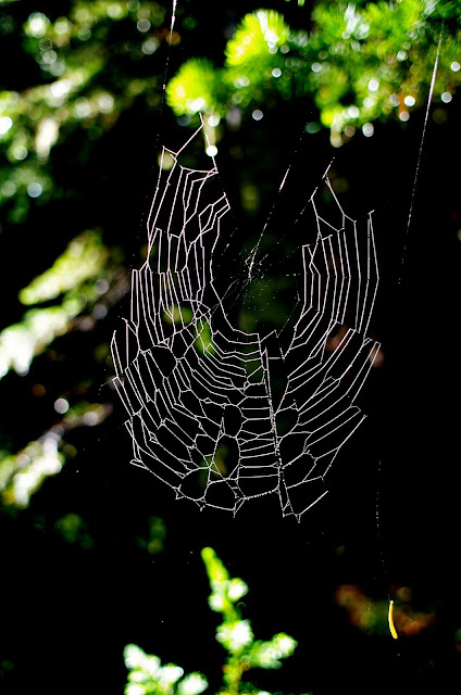
There was plenty of moisture around owing to recent rains and water droplets were everywhere - including those detailing a spider web.
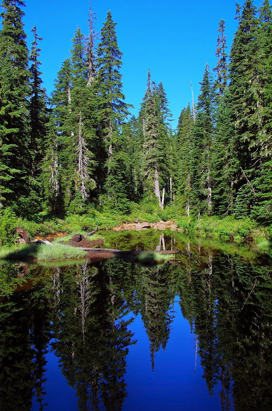
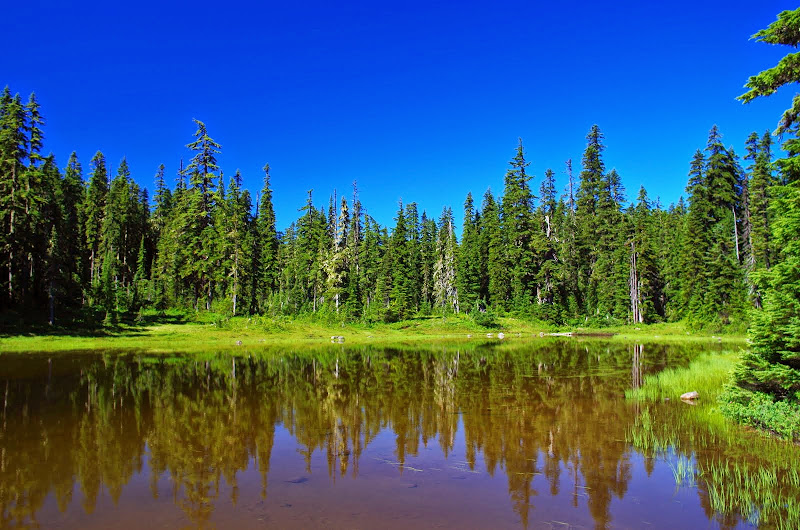
On to Chenamus Lake on trail 29A - through a herd of elk
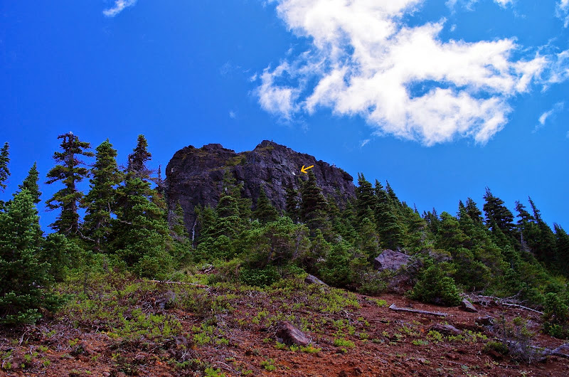
Past Chenamus Lake, Trail 29A becomes a fairly easy to follow historic trail that goes all the way to the PCT at Junction Lake. Along the way it passes
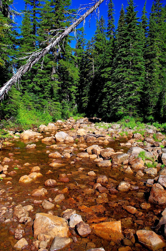
and then crosses upper Rush Creek,
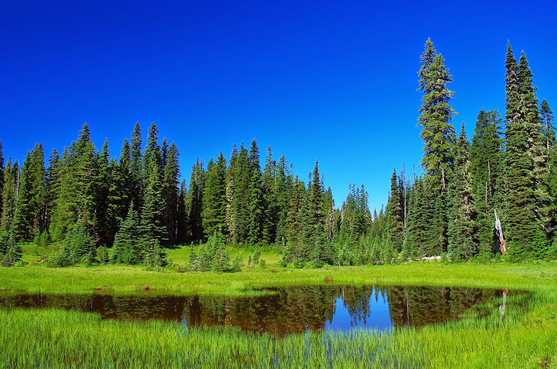
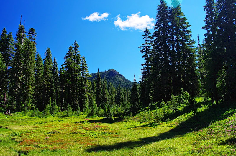
before breaking out into some large meadows,
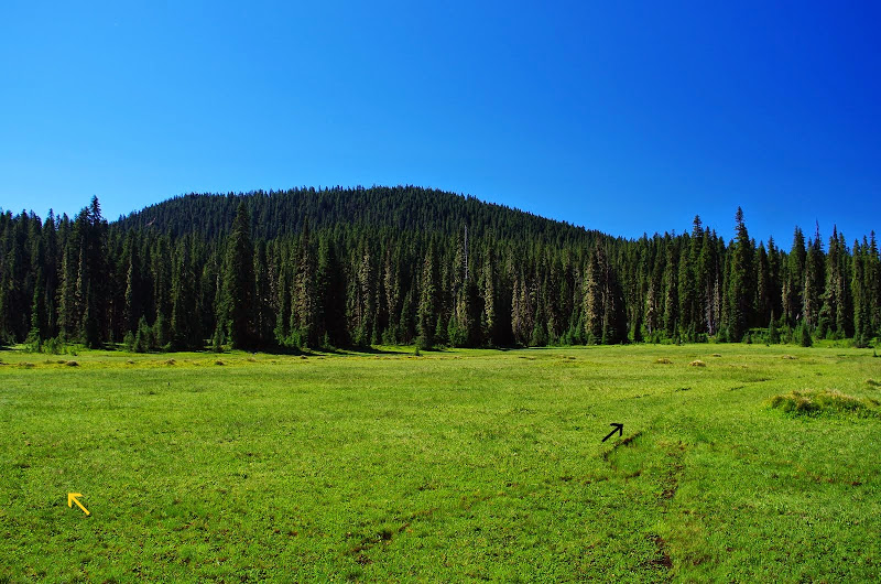
with a view of East Crater. Here, 29A (yellow arrow) crosses the old CCT (black arrow), which can be easily followed from Bear Lake to Rock Lake.
There were campers and mosquitos at Junction Lake but only a few of each.
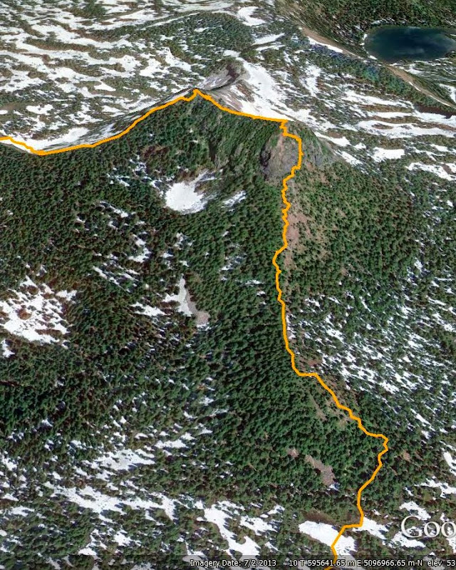
From Junction Lake, I took Trail 179 toward Lemei Lake but about 0.25 mi short of the lake turned E toward my goal, Lemei's SW ridge.
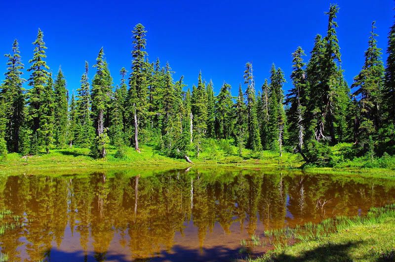
Cross country travel in this area is easy and I was soon passing a cluster of small lakes and ponds at the toe of the ridge.
It was at this point that the long feared swarms of mosquitos finally jumped me - I had to put the head net on just to keep from sucking them in every time I breathed! The lower part of the ridge has trees and low brush and isn't particularly steep.
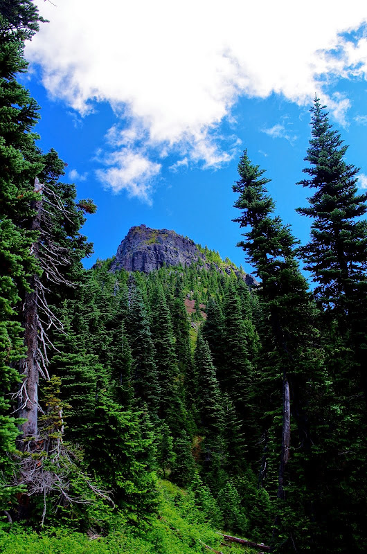
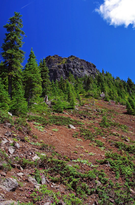
Higher up, just short of the headwall, the ridge opens into gravel covered slopes.
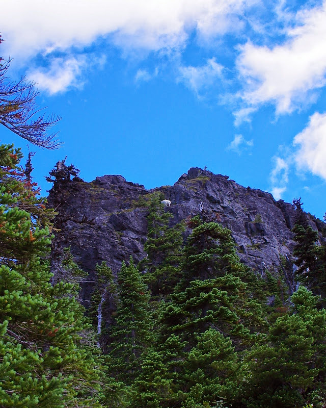
Suddenly I saw something white (arrow) move on the headwall,
and it took me a second to realize it was a mountain goat - first time I've seen one in Indian Heaven!
While I had suspected that getting past the headwall was going to be the crux of this hike, I had no preconceived notions of how to do that. Just because a goat got up there didn't mean I could too. I angled up and E from the center of the ridge until I saw a tree with what looked to be a climbable chimney behind it - if you're going to fall off better into a tree than open space - so I went there. Sure enough, there was a short (50'), easy 3rd class passage that got me to an easy shallow gully above.
From there, it was a stroll to the summit. Not bad considering I had to do the whole thing wearing a head net and battling swarms of blood suckers!
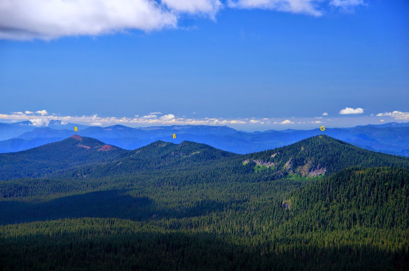
From the summit, there were great views of Red Mtn (R), Berry Mtn (B), and Gifford Pk (G) to the SW,
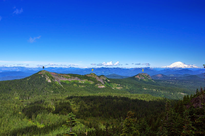
Bird Mtn (B), Point 5688 (P), Sawtooh Mtn (S), and Rainier to the N,
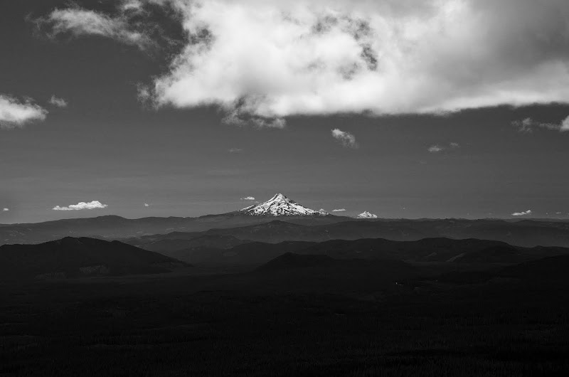
Hood and Jefferson to the S,
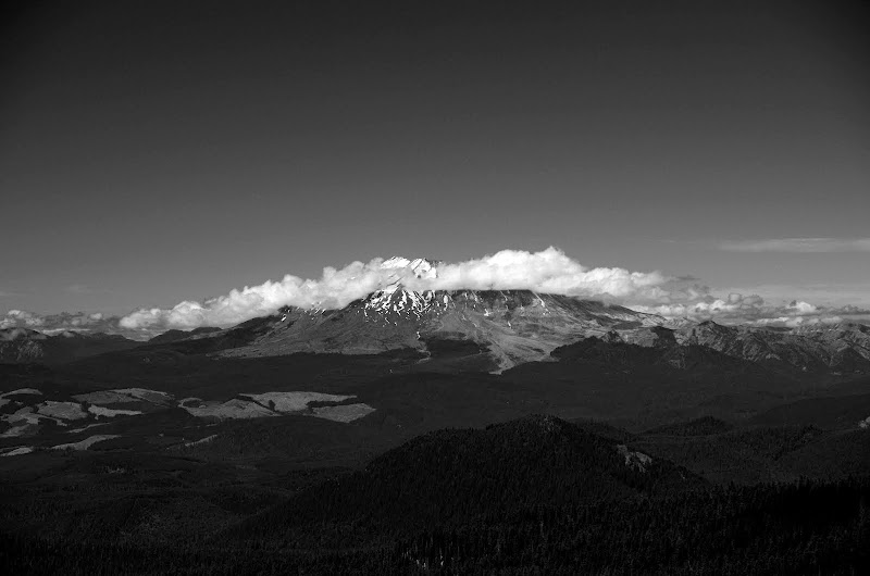
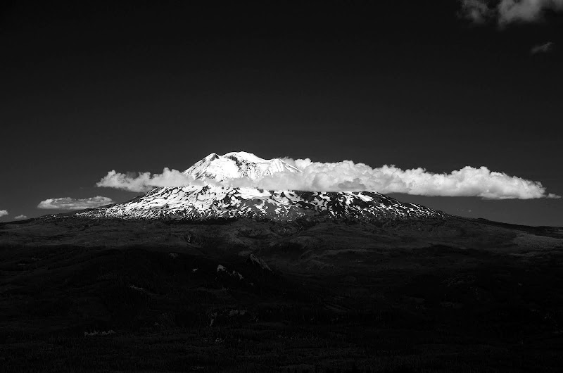
a cloudy, melted St. Helens,
and, of course, Adams.
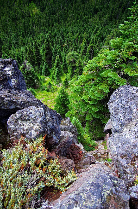
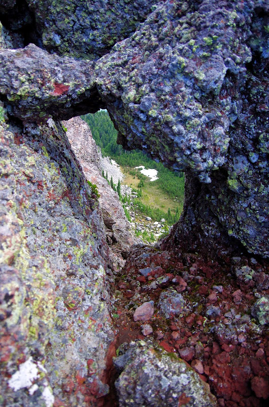
After lunch - eaten under my head net - I headed down via the NW ridge route, passing the famous keyhole, with its view of trail 24, along the way.
Curiously, as soon as I started down the ridge, the mosquitos disappeared and didn't bother me again all the way back to the TH. The NW ridge deposited me on Trail 24, which I took to Trail 33, and that past Clear Lk
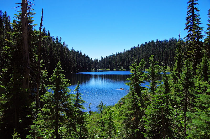
to the PCT, then N to Trail 29 and back to the TH, passing a little unnamed lake along the way.
Not a long or steep hike (12 mi RT, 1700' EG) but the SW ridge was a fun scramble and I did get to see a goat, and the mosquitos were only really bothersome on the SW ridge, so overall it was a very good day in the woods!