
Who: Brad (Born2BBrad) and Chase
When: 7/18/14-7/20/14
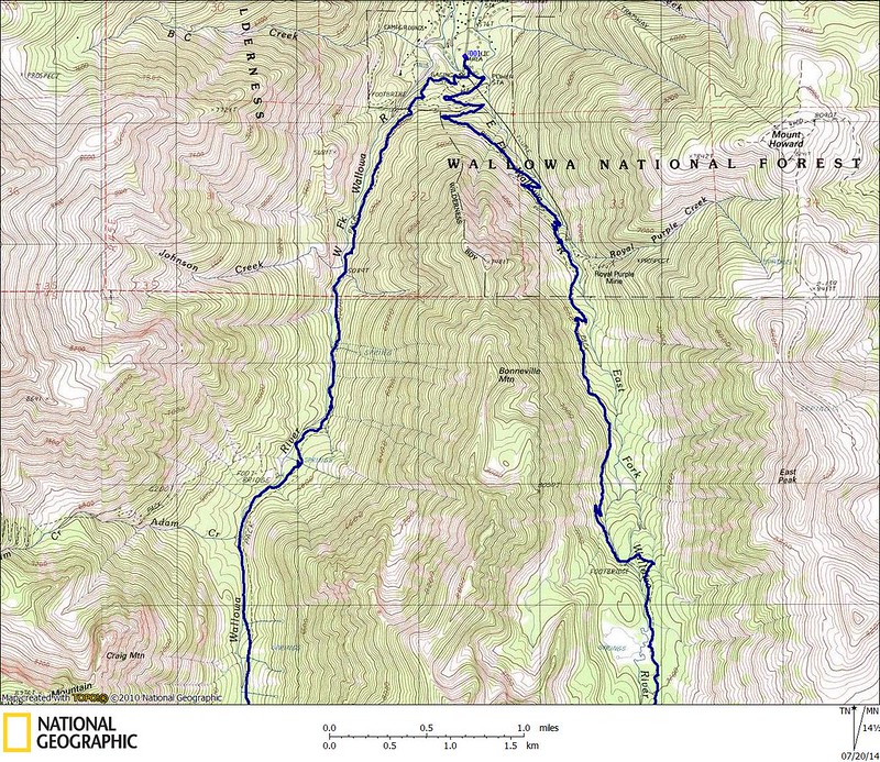
Route Day 1: Wallowa Lake trailhead (4645’), East Fork Wallowa River trail past Aneroid Lake (7560’), up to Dollar Pass (8420'), over to Dollar Lake (8465') where we made camp, up to Dollar Ridge (9100') and back to camp.
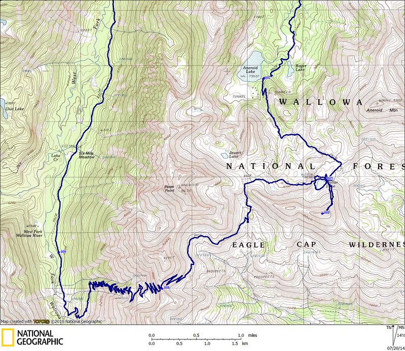
Route Day 2: Shortcut from Dollar Lake to Tenderfoot Pass (8540’), up and over Polaris Pass (8900’), down to the West Fork Wallowa River trail at 6400’, down the West Fork Wallowa River past Sixmile Meadow (6050') and back to the Wallowa Lake trailhead.
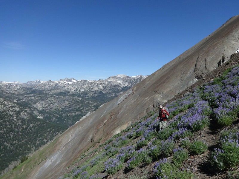
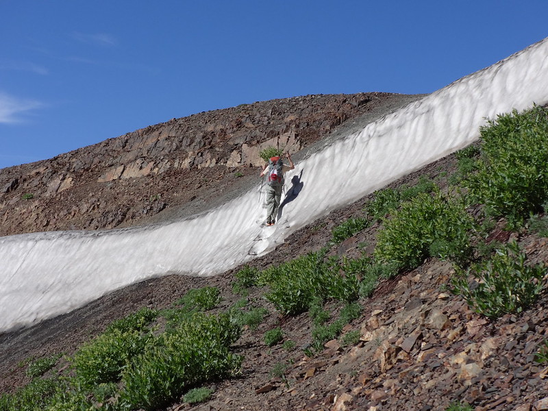
Opening picture/Chase coming down Polaris Pass:
A few weeks ago I noticed a spot on the calendar in mid-July with no outdoor activity penciled in. That had to be remedied. So I pinged a few of my Portland Hiker comrades to check their availability for the weekend of July 19th. As luck would have it, Chase’s schedule aligned with mine. Score! A bonus summer trip for 2014!
I suggested to Chase that we do a similar trip to one I did the same weekend last year to the Eagle Cap Wilderness. He was all for that, as he had never been there before. I had wanted to go back to climb at least one peak I hadn’t been to before.
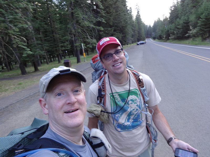
Chase and I left Portland at 5:00 PM on Thursday 7/17 after I got off work and drove straight to the Wallowa Lake trailhead, only stopping for a quick bite in The Dalles and to gas up in La Grande. Once we arrived at Wallowa Lake at 11:15 PM, we looked for the stealth campsite Bosterson told us about. It's next to the PacifiCorp Wallowa Falls Campground. It was a great spot away from the noise of the Wallowa Lake State Park campground, plus it didn't cost anything. Thanks Bosterson!!
The next morning we were on the trail at 6:45 AM.
Now for some facts about the Eagle Cap Wilderness courtesy of Wikipedia (so they must be true):
• Located in the Wallowa Mountains of NE Oregon.
• In 1930, it was established as a primitive area and in 1940 earned wilderness designation.
• At over 360,000 acres it is by far Oregon’s largest wilderness.
• Named after a peak in the Wallowa Mountains, which used to be called the Eagle Mountains.
• The highest point at 9838’ is Sacajawea Peak. A total of 31 summits exceed 8000’ in the Eagle Cap Wilderness.
• Contains Legore Lake, at 8880’ the highest lake in the state of Oregon.
• Wildlife includes black bears, cougars, bighorn sheep, mountain goats, white-tailed deer, mule deer and Rocky Mountain elk. Moose have recently returned to the wilderness and there is evidence that grizzly bears and wolverines have returned. The Imnaha wolf pack has been known to roam the Eagle Cap Wilderness, as well.
• 47 trailheads lead into the wilderness, with approximately 534 miles of hiking trails.
• The wilderness contains four designated Wild and Scenic Rivers that originate in Eagle Cap Wilderness: The Lostine, Eagle Creek, Minam and Imnaha Rivers.
On to the pictures...
Brad and Chase at the TH before becoming stinky and dirty:
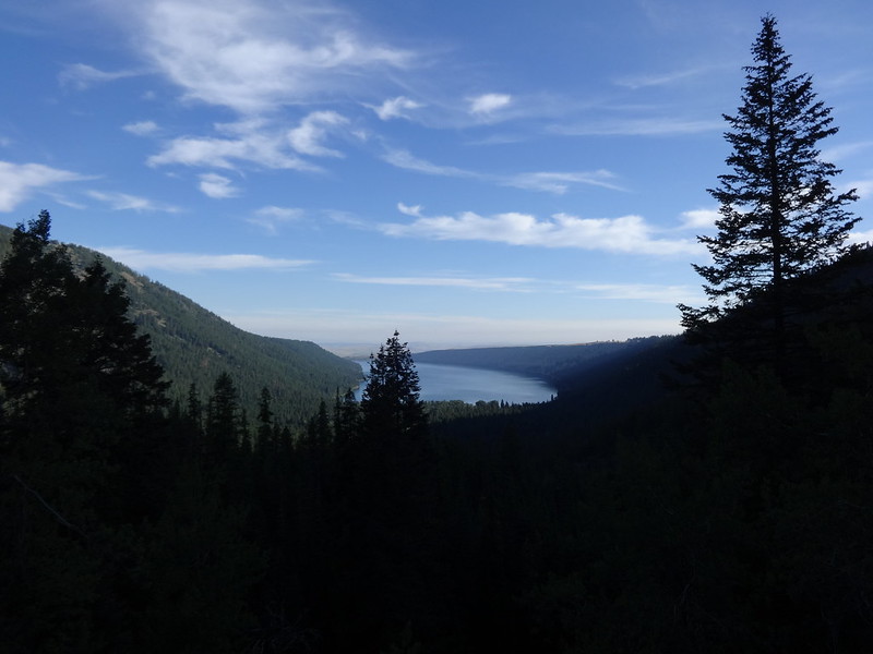
First view of Wallowa Lake:
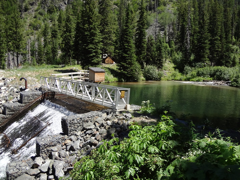
Apparently there was some damage this winter to the pipes that divert the flow out of the man-made lake:
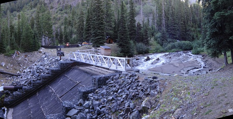
Here's what it looked like last year:
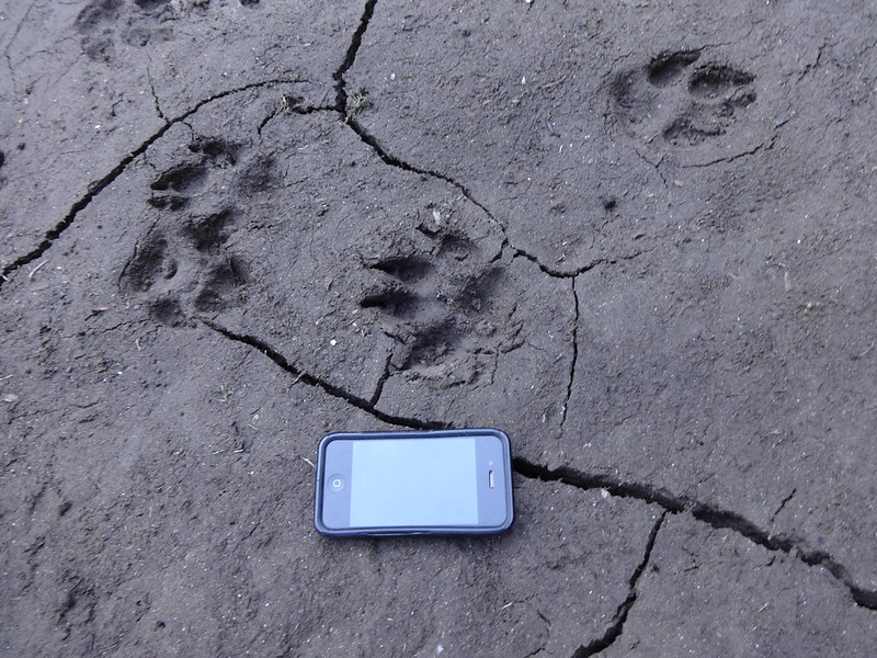
Looks like wolf prints in the mud next to where the lake used to be:
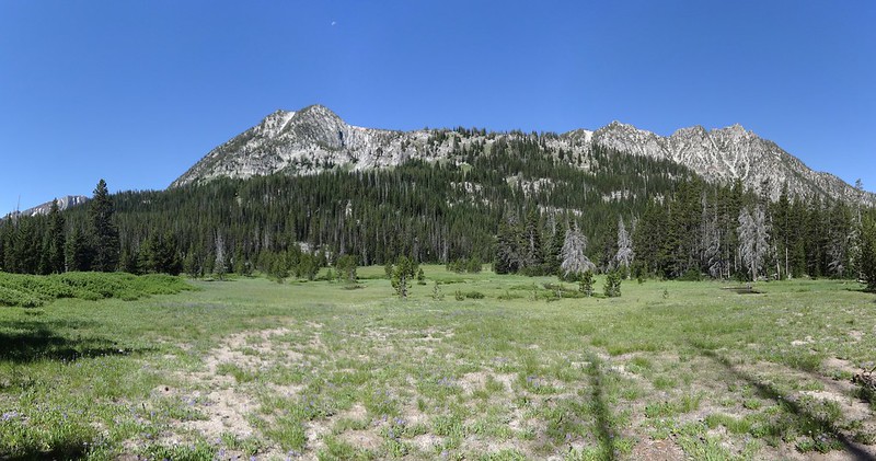
Meadow with what I think is Bonneville Mountain behind it:
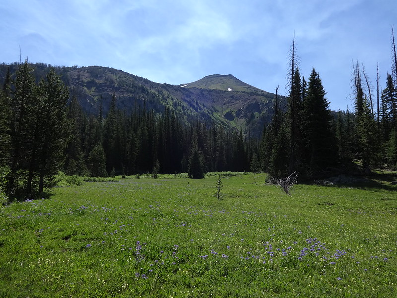
First view of Aneroid Mountain:
Above Aneroid Lake:
Fact about Aneroid Lake courtesy of PH member Bobcat:
According to Oregon Geographic Names, Aneroid Lake was named in 1897 when a member of a U.S. Fish Commission survey party used an aneroid barometer to gauge the elevation of the lake.
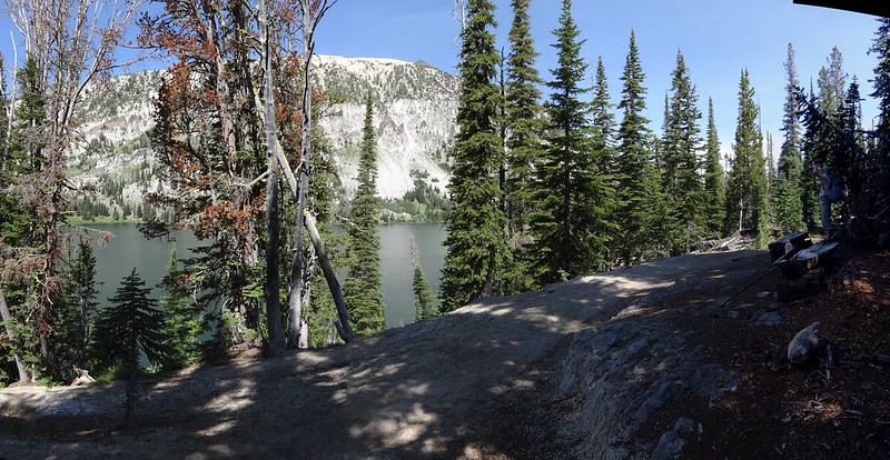
East Fork Wallowa River headwater valley with Dollar Ridge in the background:
Looking downriver back at Bonneville Mountain:
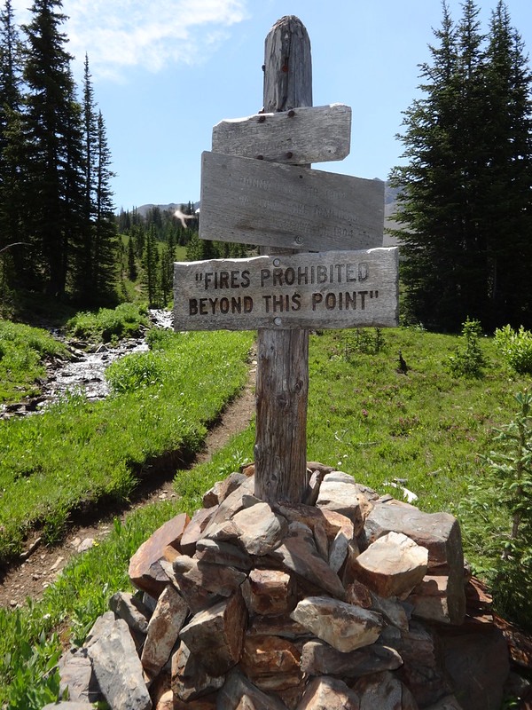
Weathered signposts sometimes look so cool:
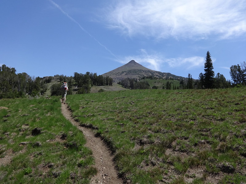
Heading up to Dollar Pass/Aneroid Mountain in the background:
Looking over at Petes Point:
Facts about Petes Point courtesy of Summit Post:
• At 9,675’, Petes Point is the fifth highest named mountain in the Wallowa Range.
• It forms a massive east-opening horseshoe that opens on the high alpine plateau at Tenderfoot Pass and forms the northern anchor of the extensive Wallowa/Imnaha divide.
• The east opening of the mountain drains into the North Fork Imnaha River. The north wall rises above Jewett Lake and the headwaters of the East Fork Wallowa River. The western scree slopes of fall into the West Fork Wallowa River.
• The summit gets a lot of traffic as evidenced by the presence of two register boxes containing many entries. With winter outfitters nearby, this mountain probably has more winter ascents than most big Wallowa peaks.
• The east running arms of the horseshoe provide two easy walk up routes to the summit from the vicinity of Tenderfoot Pass. The south arm is a longer and gentler climb, while the north arm is steeper, but shorter. Together they provide an excellent alpine loop hike on one of the Wallowas most massive mountains. Other more difficult routes can be had from the west and north.
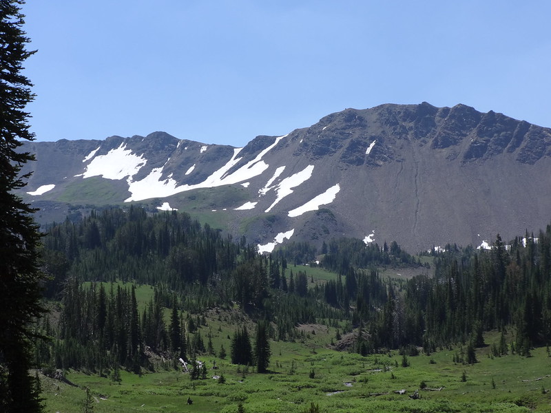
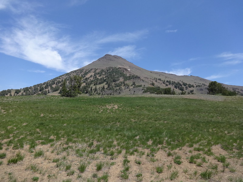
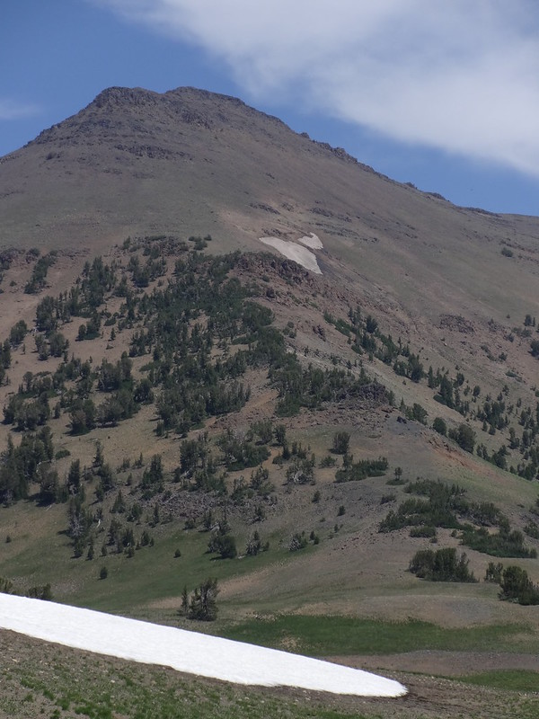
Aneroid Mountain from Dollar Pass:
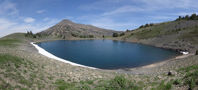
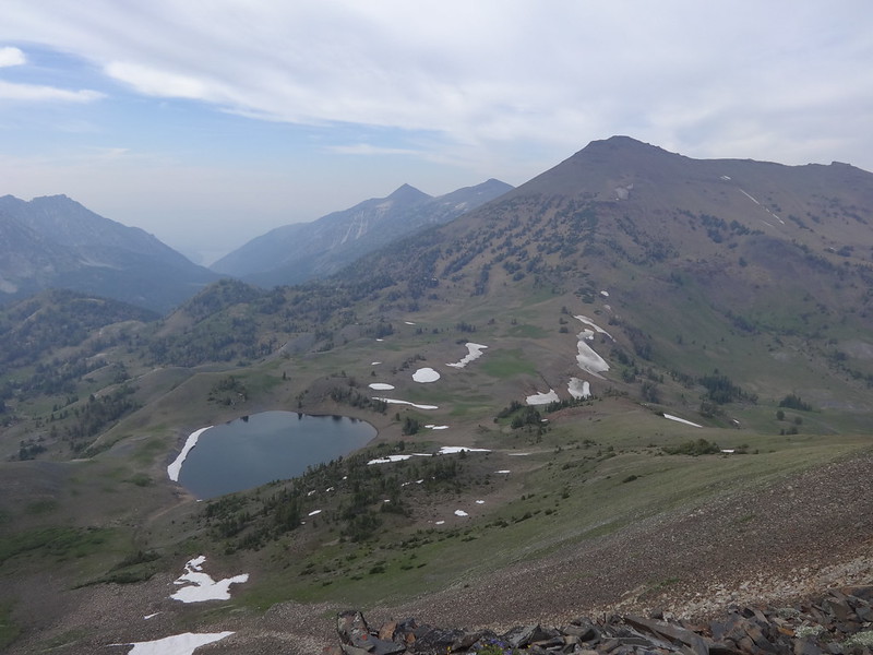
Dollar Lake with Dollar Ridge (L) and Petes Point (R):
The southern climbing ridge of Aneroid Mountain:
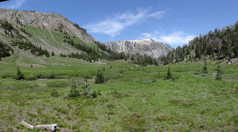
View from our campsite at Dollar Lake:
View from above Dollar Lake looking west. The smoke from the Hurricane Creek fire is just starting to roll in:
View from above Dollar Lake looking NE over to Aneroid Mountain:
Climbing up Dollar Ridge the smoke really became apparent:
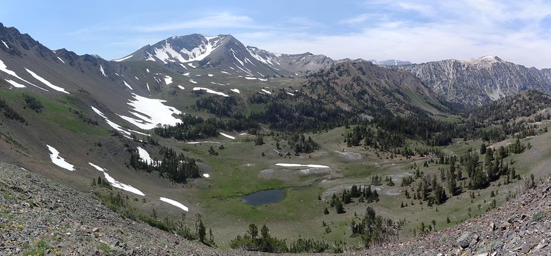
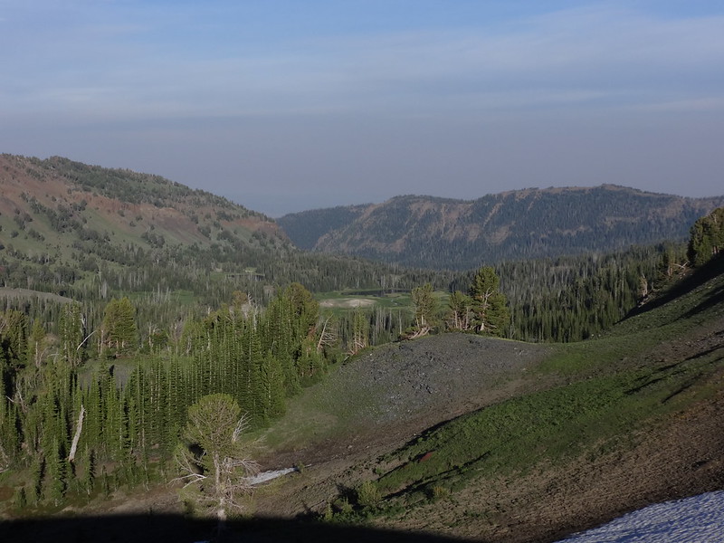
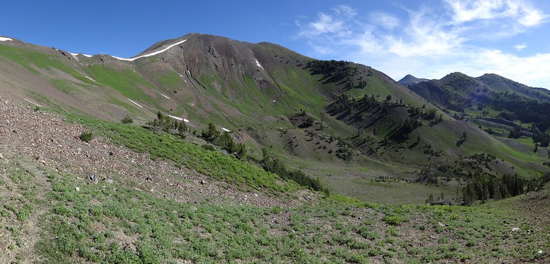
Looking over to Bonny Lakes and Bonny Meadows:
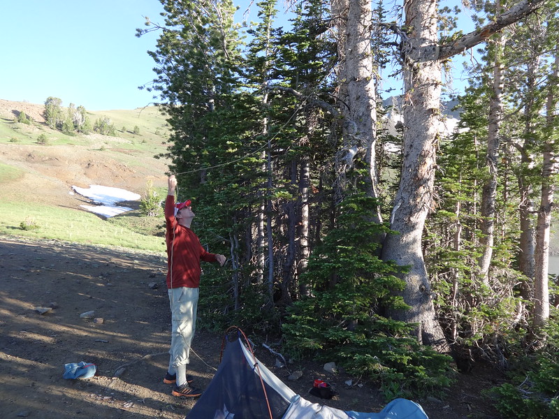
Chase hanging his food:
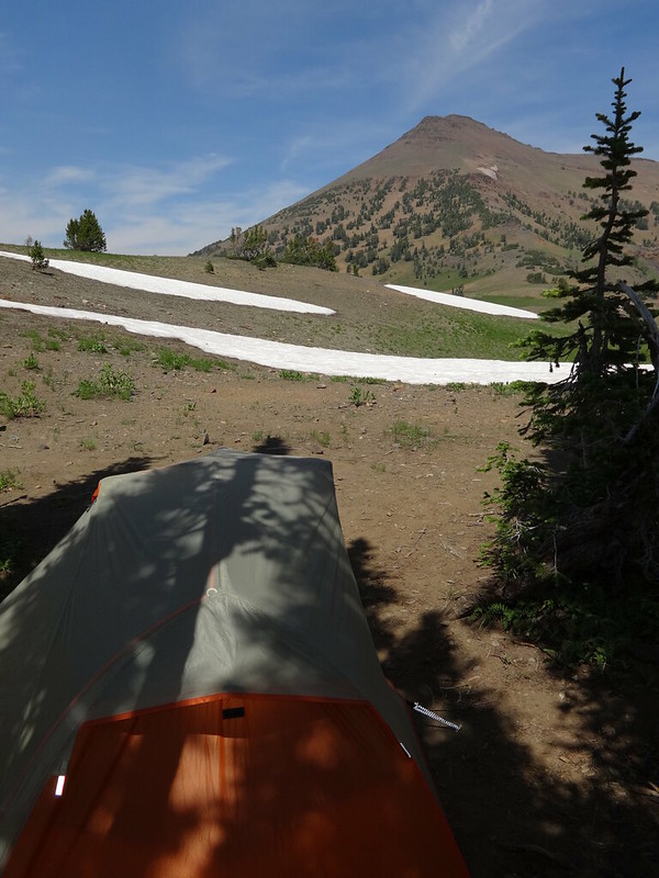
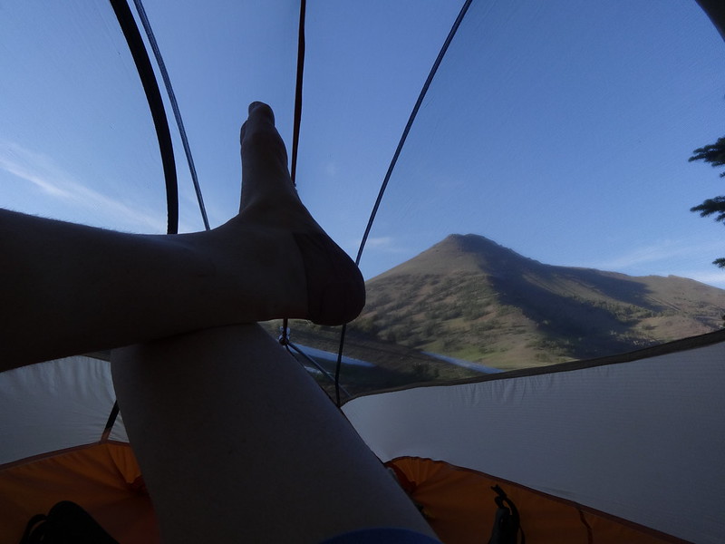
Kicking back in my tent:
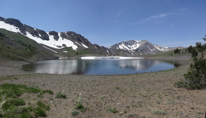
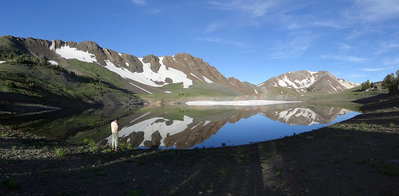
Reflections in Dollar Lake the next morning:
Taking a shortcut cross country from Dollar Lake to Tenderfoot Pass:
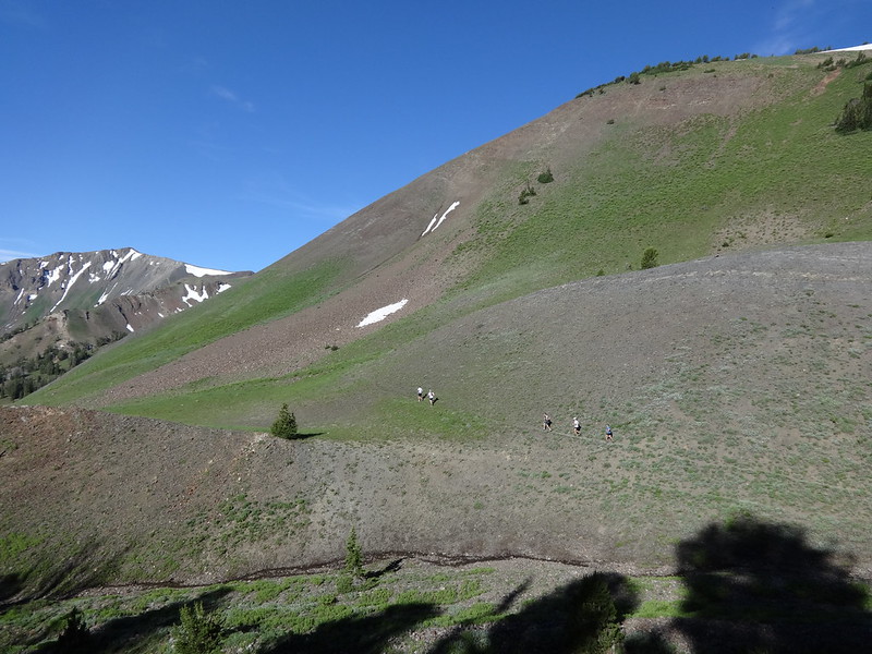
Some trail runners on the trail up to Polaris Pass:
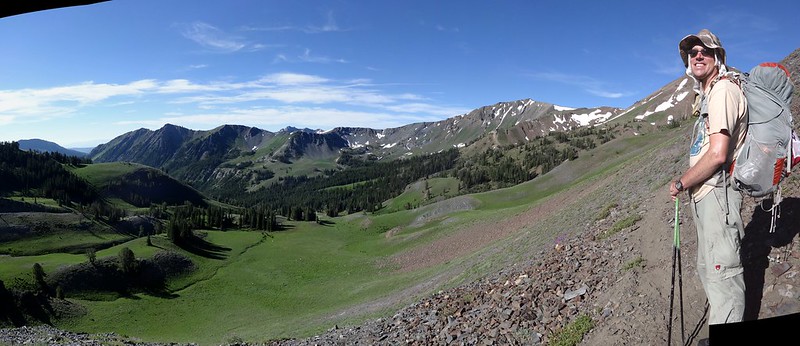
Chase enjoying the view of the North Fork Imnaha River valley:
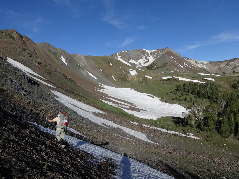
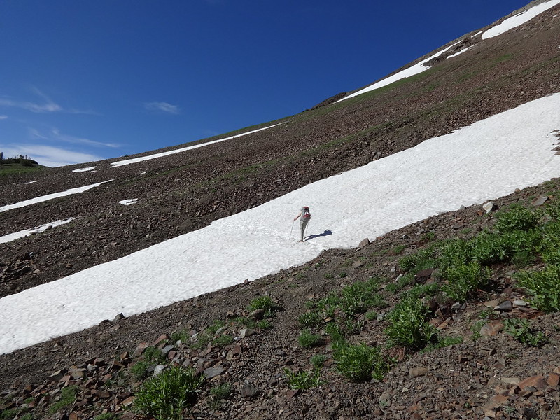
There were a few patches of snow to cross on the way up to Polaris Pass:
The south side of Petes Point with Aneroid Mountain and Dollar Ridge still in view:
This snow bank just below Polaris Pass was not there last year at that same day of the year:
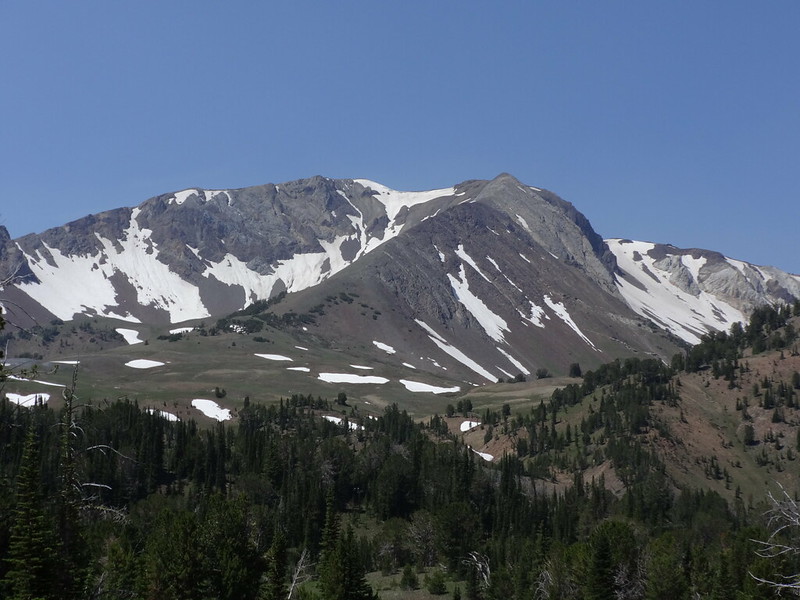
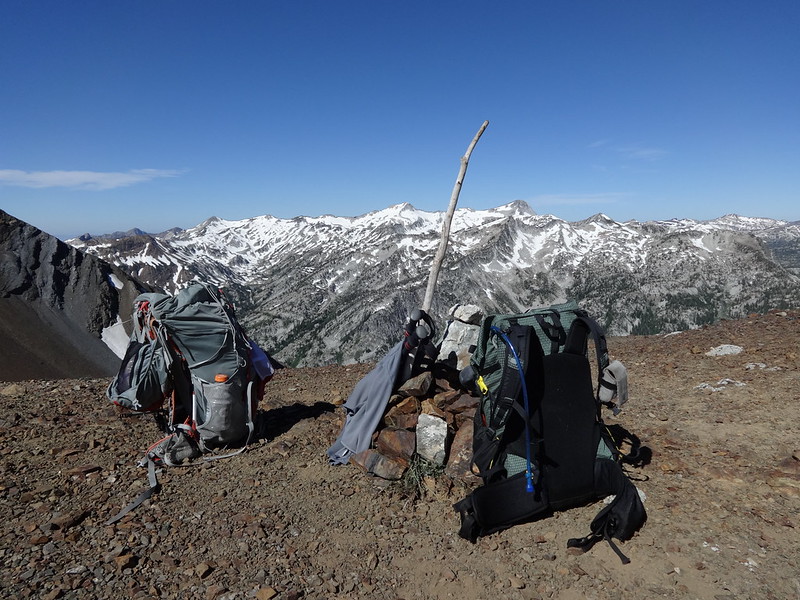
The view from Polaris Pass looking west:
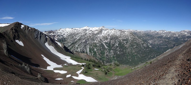
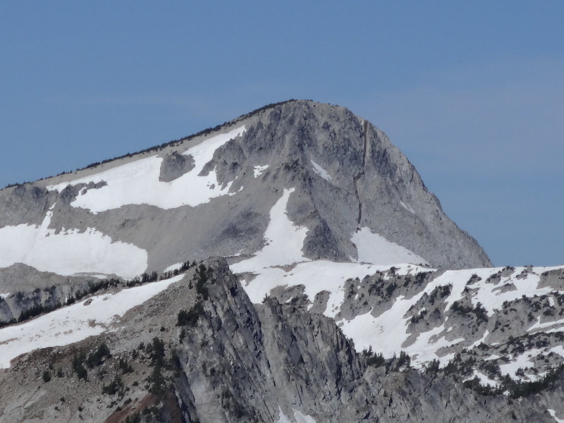
Zoom of Eagle Cap and its big crack:
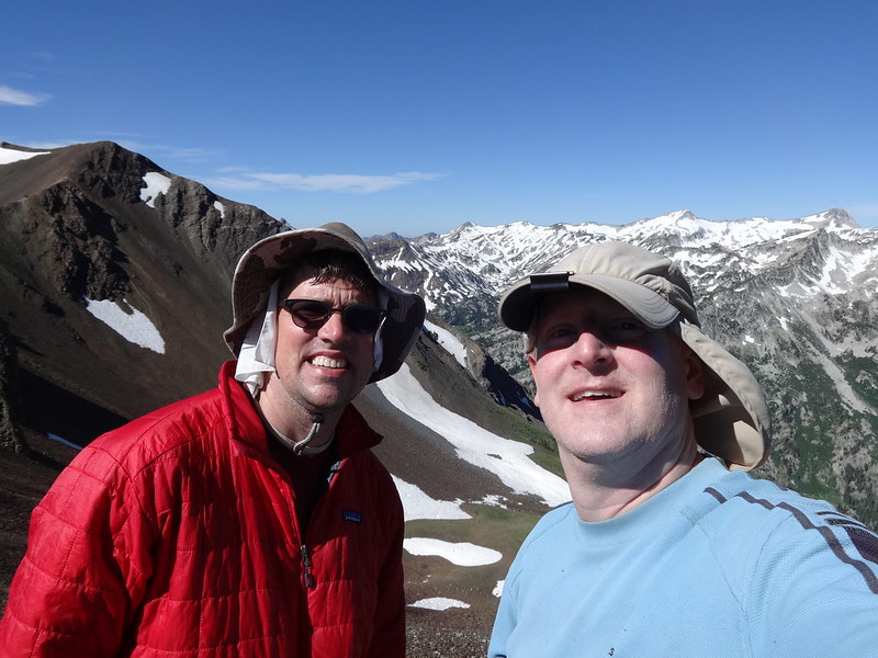
TFF selfie at Polaris Pass:
I thought this looked pretty cool:
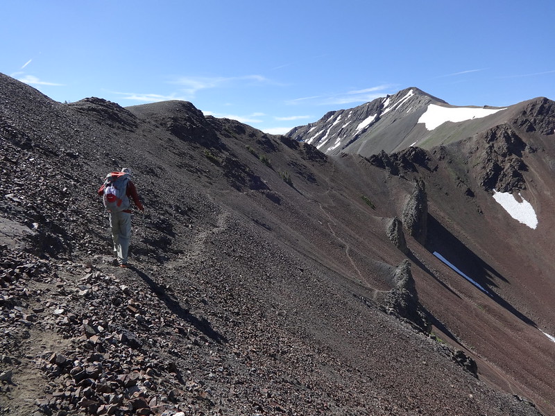
The beginning of the 53 switchbacks down from Polaris Pass:
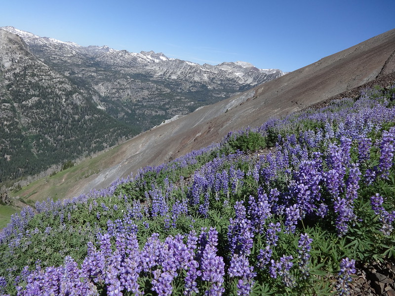
Many large pungent fields of lupine along the way down:
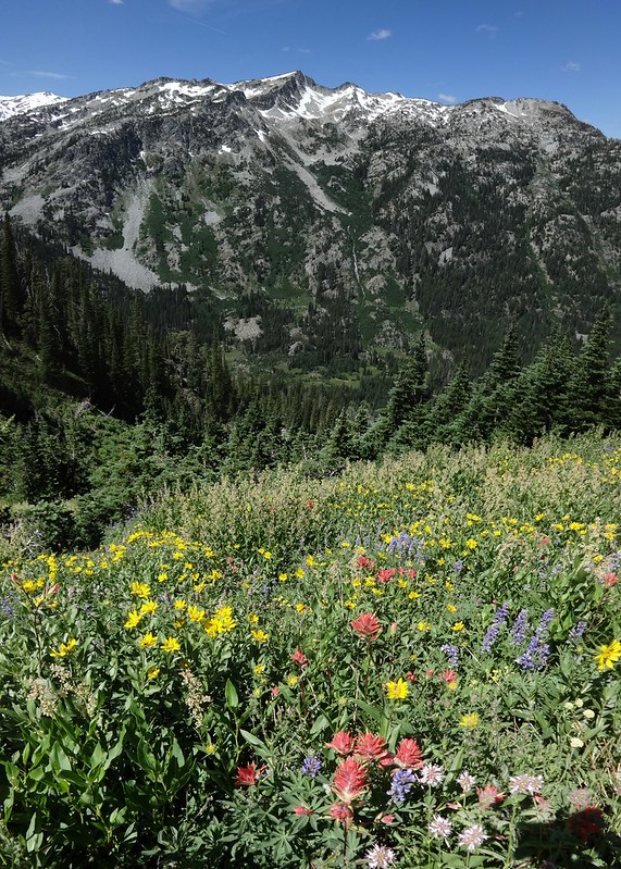
Flowers and the West Fork Wallowa River valley:
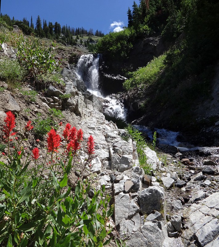
Flowers and a waterfall:
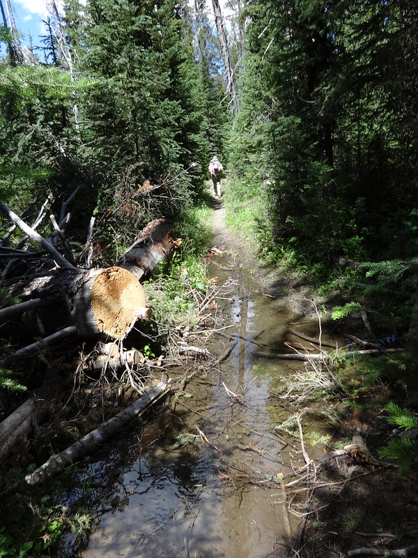
The rest of the way going down the West Fork Wallowa River trail was uneventful, save for a few wet places:
Tracks in Nat Geo:
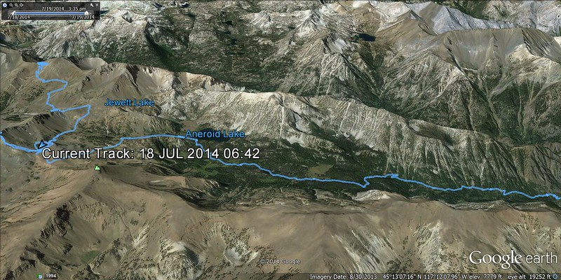
Tracks in Google Earth (east side):
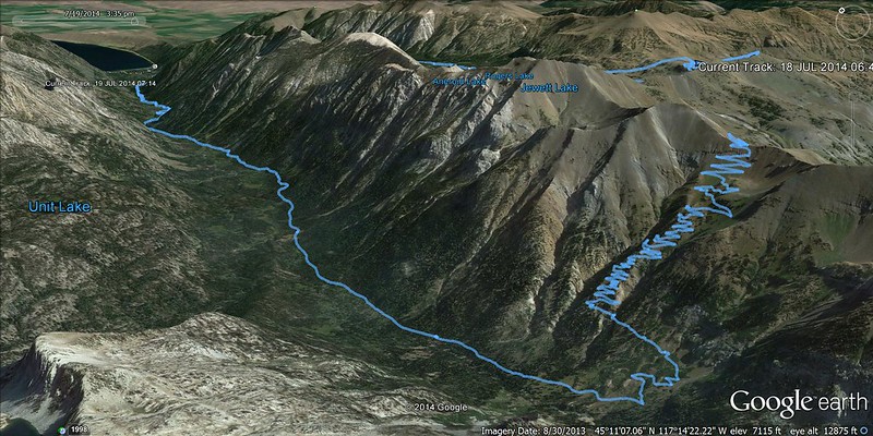
Tracks in Google Earth (west side):
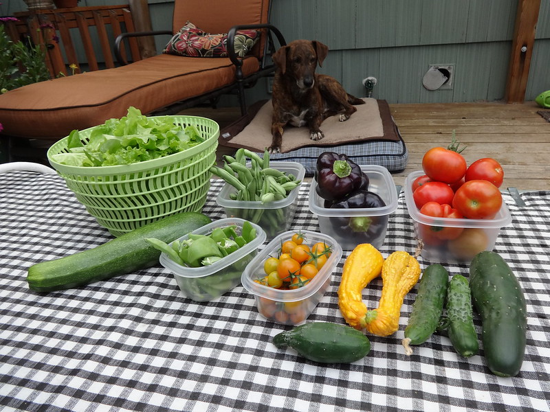
Just like last year, my garden exploded when I was away:
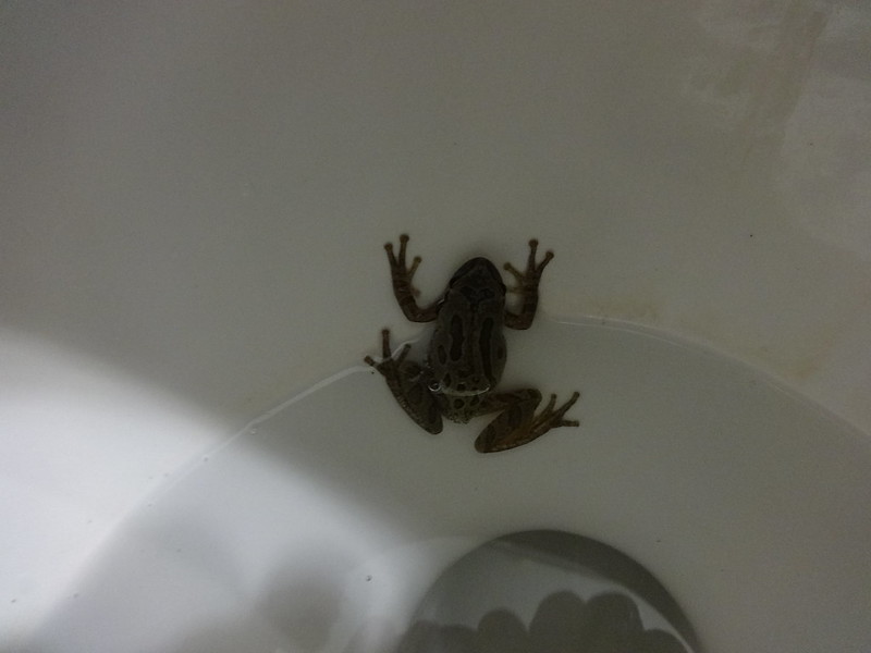
On a completely unrelated subject, when I came into the house after I got home, there was a frog in the toilet. I have no idea how it got there:
Link to all the pictures from the trip:
https://www.flickr.com/photos/54959080@ ... 798654891/
Trip computer miles: 29.9
Trip computer EG: 6184'
The mosquitoes were not too bad, but we spent much of the time above 8000', and were moving quickly much of the time in the valleys.
Also, on the drive back through the Blue Mountains I saw a moose by the side of the road on I-84. That's right, a moose. To make sure I wasn't seeing things, I searched the Internet for "moose", "Blue Mountains" and "Oregon". Sure enough, there are moose in NE Oregon, including the Blue Mountains.
Hike the good hike,
Brad


