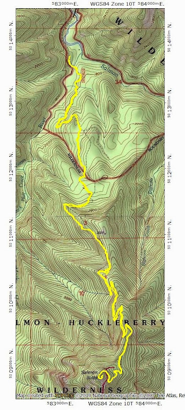
I thought I'd missed this change just because my guidebooks are old but even the USFS website seems unaware of it and several people we passed coming back were also a bit confused because their somewhat newer guides also showed the older, higher TH (however, the National Geographic map for the Mount Hood Wilderness has it shown correctly). But, no matter, the "road" is now a nice trail bordered with grasses and small trees.
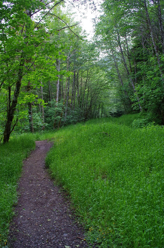
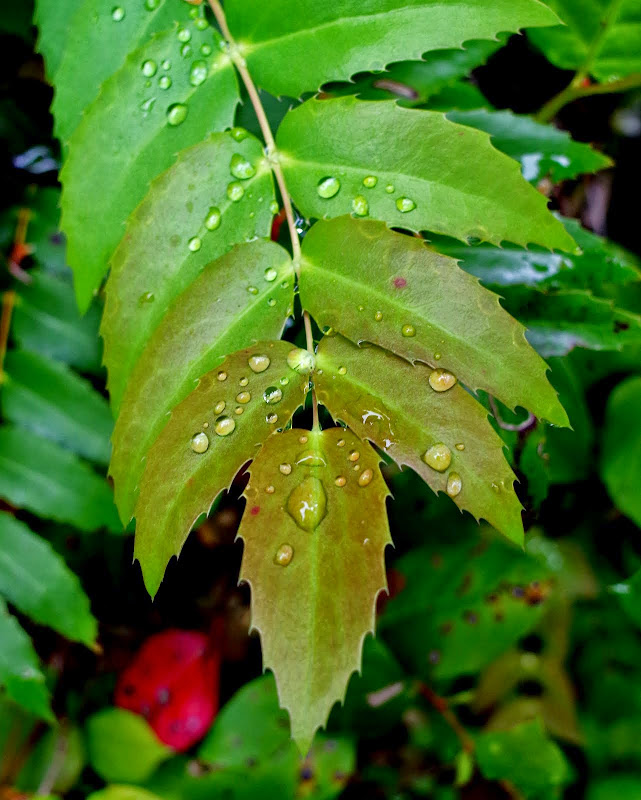
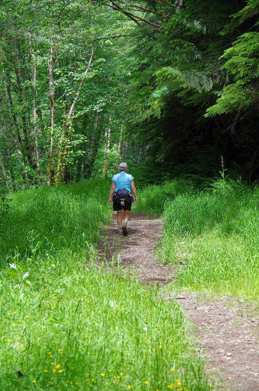
We'd gotten the usual early start, so there was still dew on the foliage lining the trail.
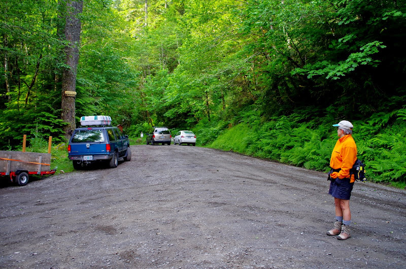
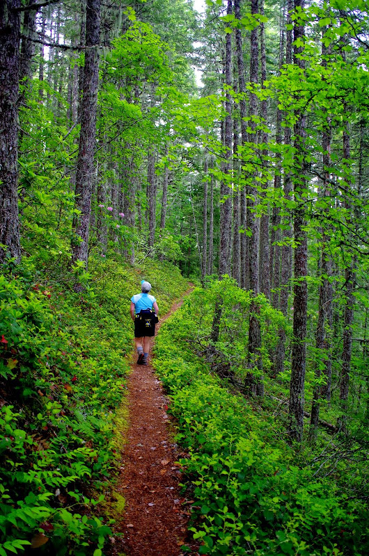
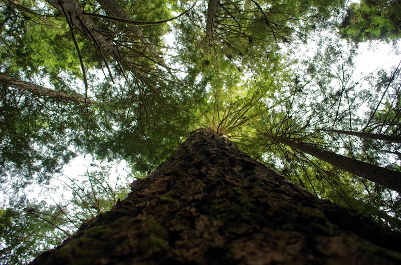
Most of the trail traverses through a delightful forest of second and old growth forest,
some specimens of which are huge
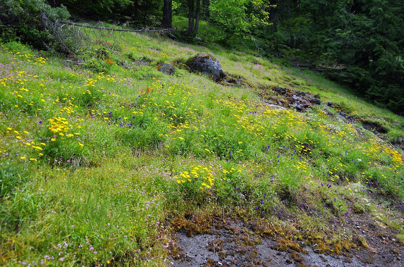
Around the 3,200' level, there was a spot where we could get out of the forest into a small meadow sporting a large collection of freshly hatched wild flowers.
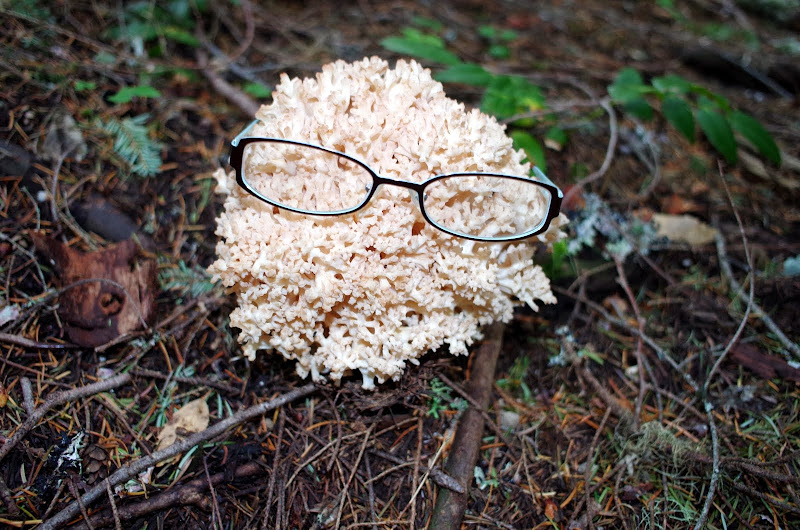
Back in the forest, we came across an amazingly large (but obviously near-sighted) tree root fungus.
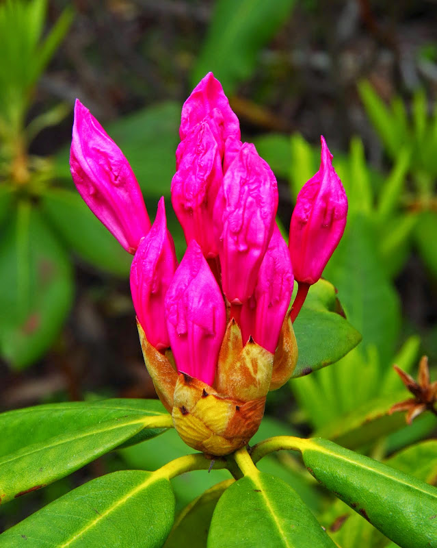
One of the highlights of this hike are the rhododendrons that line the trail from about the 3,400' level on up - most of which were still in fresh bloom.
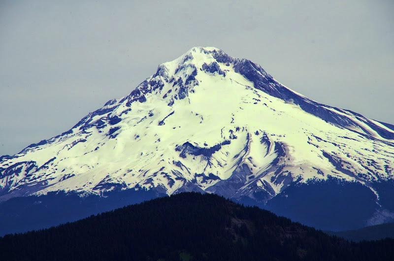
At about 4,400', we came to the first big viewpoint, with its full-on view of Hood, with Devils Peak in the foreground.
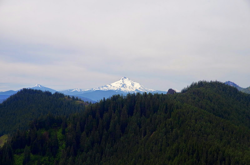
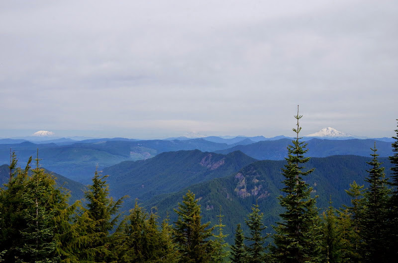
Shortly thereafter, we reached the summit, with its (somewhat hazy) views of Jefferson and Olallie Butte,
and St Helens, Rainer, and Adams.
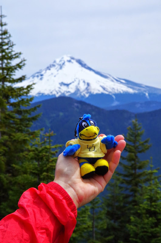
Because our nephew just graduated from the University of Delaware, we'd brought along their "Fighting Blue Hen" mascot for a "semi-selfie" with Hood in the background (The Delaware Blue Hen is a landrace variety of chicken that was adopted on April 14, 1939, as the state bird of Delaware. The University of Delaware mascot, known as YoUDee, is also modeled after the bird.).
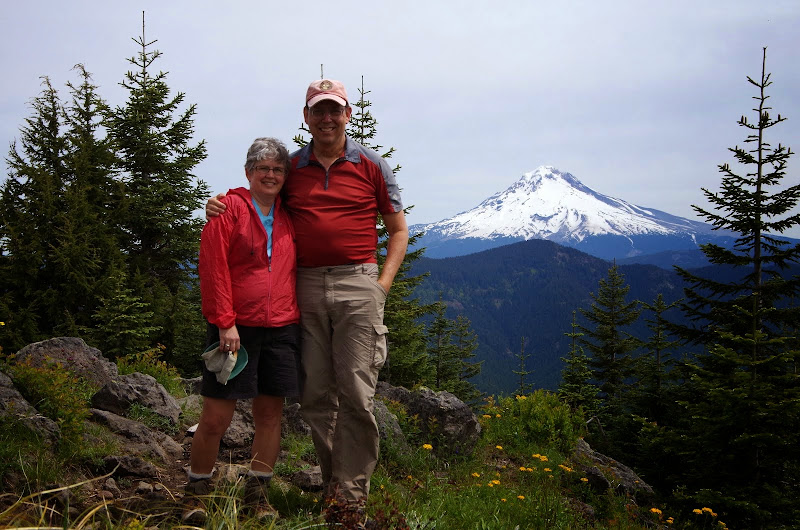
Having started down the slippery slope of selfies, we did one of us too.
About this time, a guy - who turned out to be the indefatigable PABLO
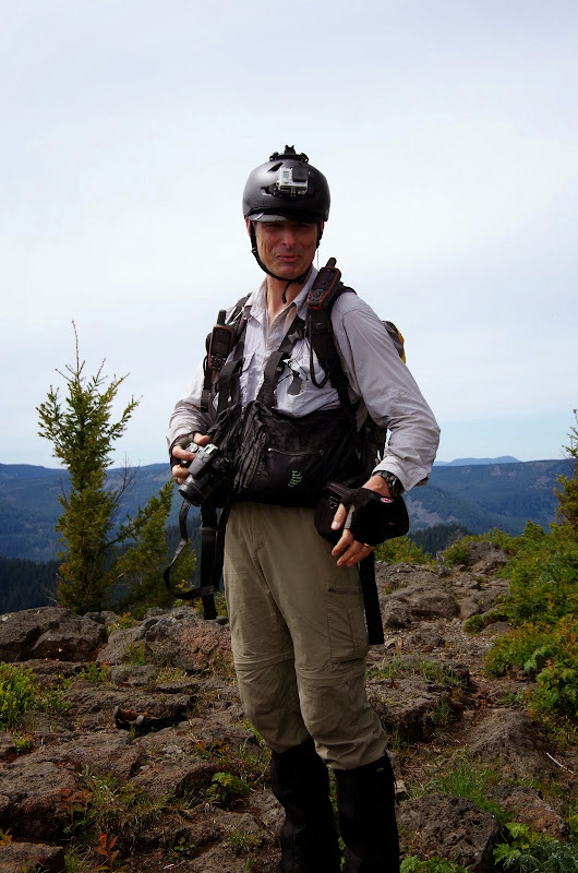
He'd come up the trail (rather than directly up some steep ridge as I'd thought at first) but was planning to go XC in search of a volcanic vent somewhere down slope of the Butte - so look for his off-trail TR of that adventure! After that, it was back down the trail to the TH for us.
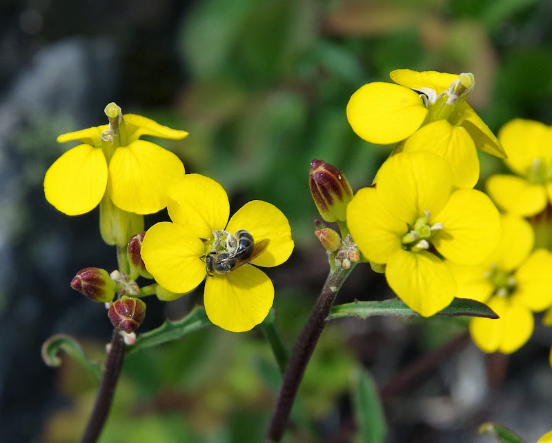
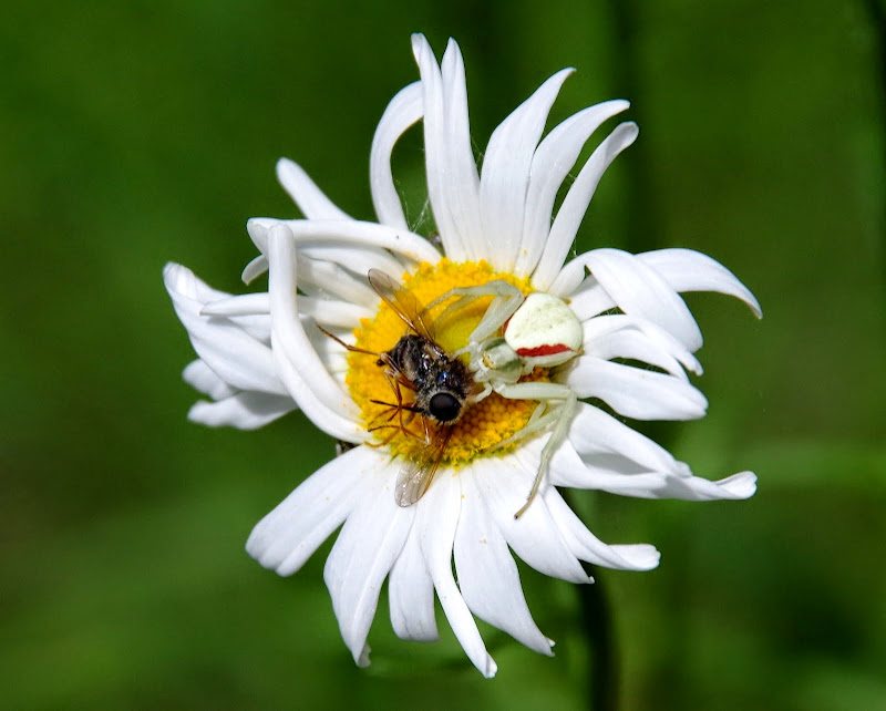
Along the way, we passed perhaps a dozen hikers on their way up (far more than I usually see on a hike), some puzzling over why their guidebooks / maps didn't exactly match the trail. We took some time for photographs, including a fly on a flower,
and a fly being eaten on a flower by a crab spider!
Wonderful hike on an excellent, easily accessible trail running at a gentle uphill grade through a varied forest and ending with views - definitely one to recommend to visitors looking for a taste of hiking in the Portland area. Now 12 mi RT, 3200' EG from the new TH, whereas the hike from the old TH was 9 mi RT and 2,800' EG.