
Who: Brad (Born2BBrad) and Chris (Hiker Chris)
When: 5/1/14-5/3/14
Why: Because, because, because, because, because. Because of the wonderful thing it was.
Route: Downriver from Bridge 99, river trail, on to closed Metolius River Road (AKA NF-1499), past private property, to another river trail, to the end of closed Montgomery Road (AKA NF-64/Hwy 64), Drift Campground, Monty Campground, 2+ miles past Monty Campground on Montgomery Road, returned mostly the same way.
Facts about the Metolius River:
- Pronounced muh TOLL ee us.
- 29 miles long.
- Tributary of the Deschutes River via Lake Billy Chinook in Central Oregon.
- Officially designated a National Wild and Scenic River in 1988.
- Headwaters are at Metolius Springs, where it emerges from two springs 300 feet apart at the base of Black Butte.
- Metolius Springs springwater gushes from its underground source at a rate of 50,000 gallons per minute, making the Metolius River one of the largest spring-fed rivers in the United States.
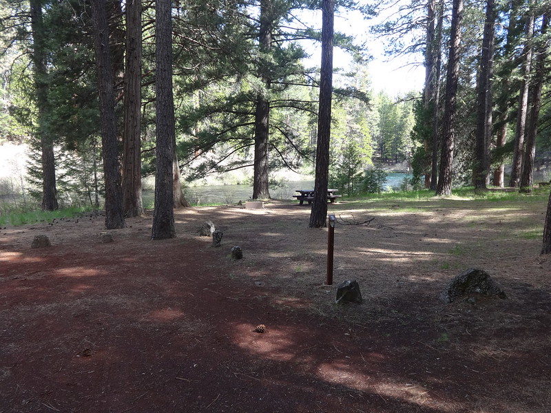
When I was growing up, my family used to go camping on the Metolius River at Lower Bridge Campground, just downriver of Bridge 99, almost every year. We would usually stay in the same campspot every time, number 8. Most of our time was spent fishing, where I would mostly catch rocks and submerged logs. Once, my brothers and I hiked downstream for a half an hour and came back to a mother who was worried to death we had fallen in to the river.
For a while I have known that the Middle and Lower Metolius River sections were good semi-wilderness early-season backpacking destinations.
PH member arundodonax posted a trip report about the area in March that made me ponder a trip out there this year.
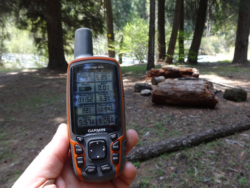
With good weather forecasted for the entire week, Chris and I took a couple of days off work to see what that area was all about. PH member Retired Jerry was kind enough to provide his GPS tracks, which I uploaded to my GPS. While a person could do the trip without tracks, they were helpful a few times. Jerry's PH field guide write ups were helpful as well. It's always nice to have an idea of what to expect. Thanks Jerry!
So on Thursday, May 1st, I picked Chris up at 6:30 AM and we were on the trail by 10:30 AM later that day.
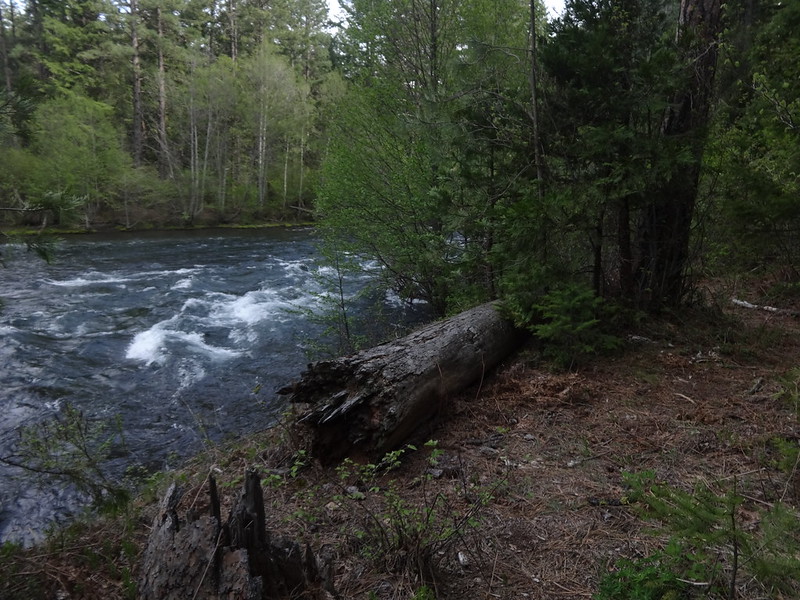
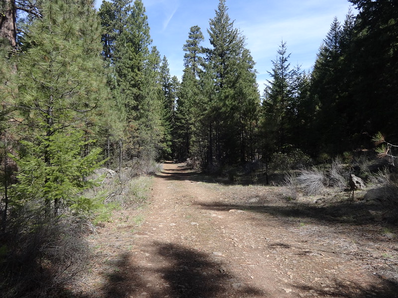
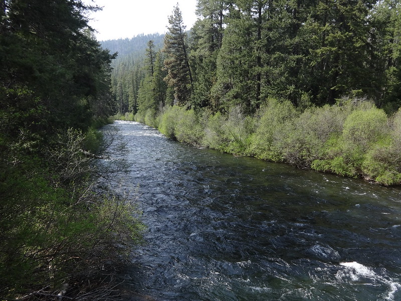
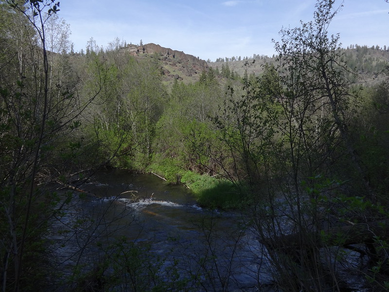
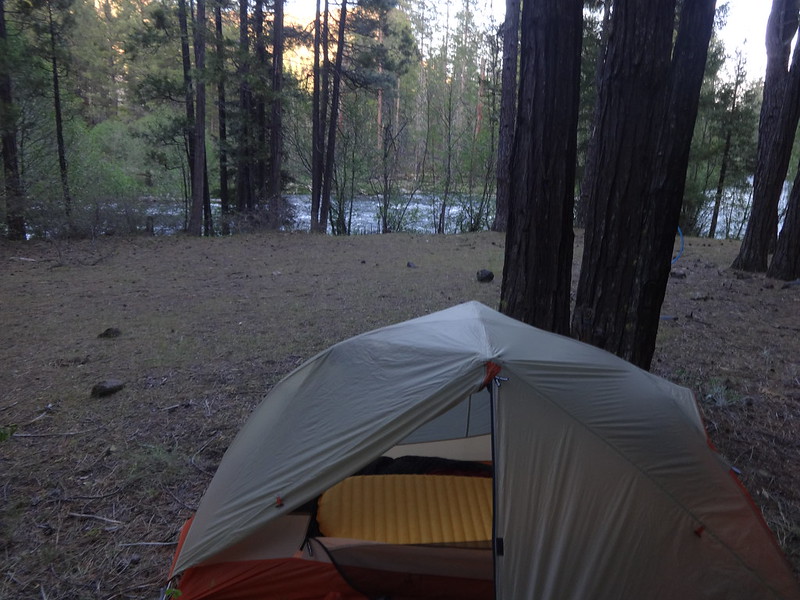
Opening picture:
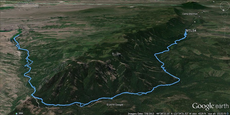
Tracks in Google Earth:
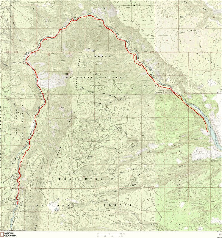
Tracks in NatGeo Topo:
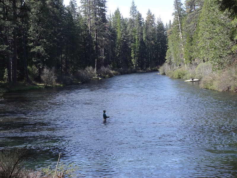
Fly fisherman just upstream of Bridge 99:
Bridge 99 over the Metolius River:
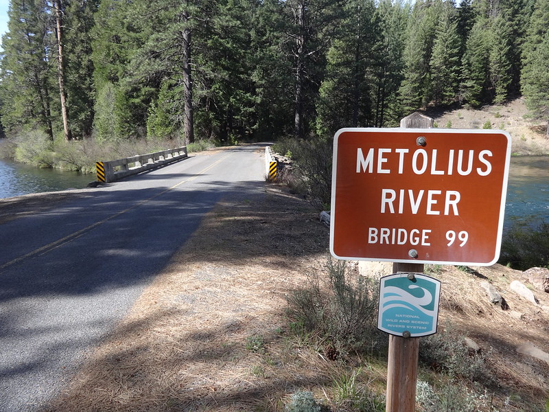
Trailhead at Bridge 99/Lower Bridge Campground:

My childhood camping spot at Lower Bridge Campground:
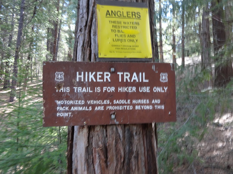
Sign indicating trail usage:
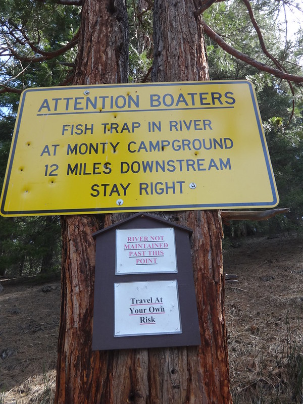
Sign warning boaters:
Short video showing how fast the river flows:
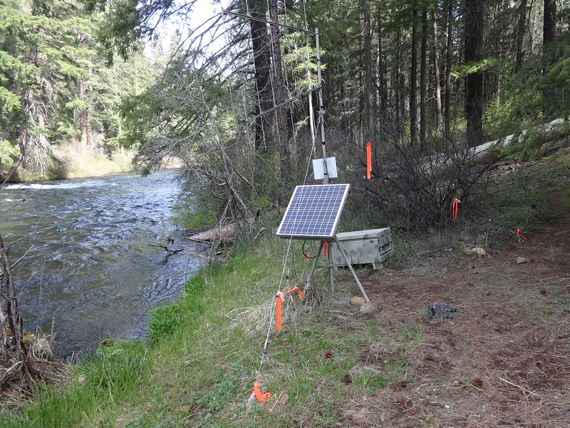
Radio telemetry station:
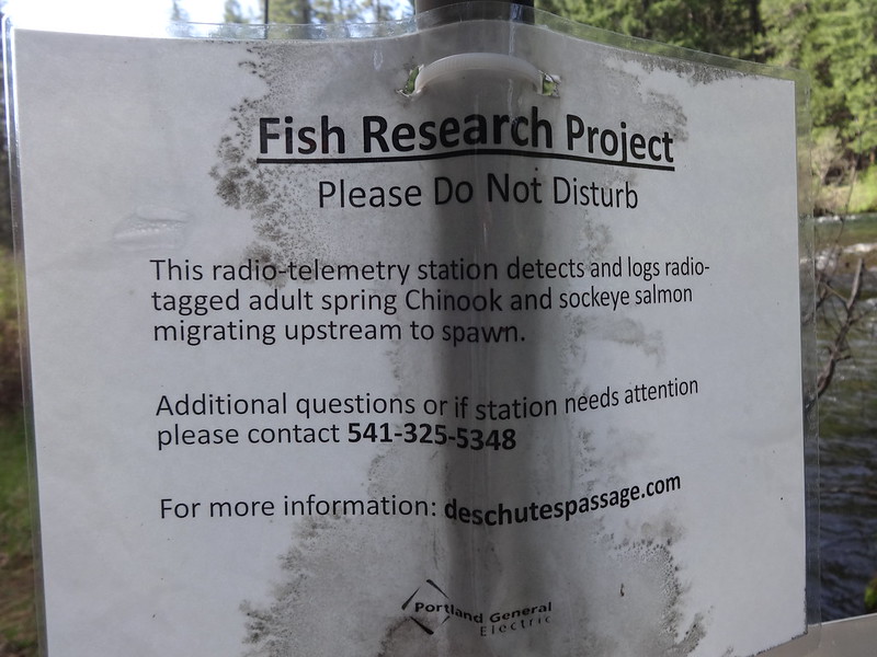
Sign explaining the radio telemetry station:
The first bar downstream of Lower Bridge Campground:
One of the many camping areas just downstream of Lower Bridge Campground:
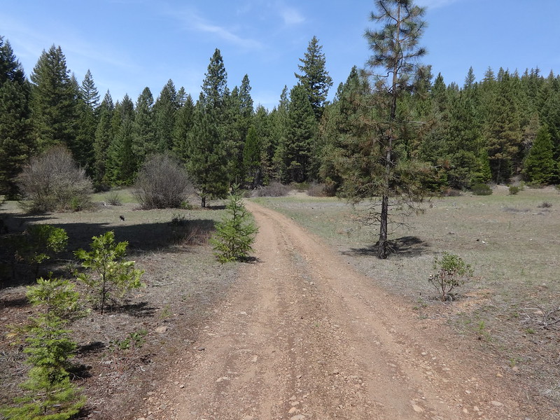
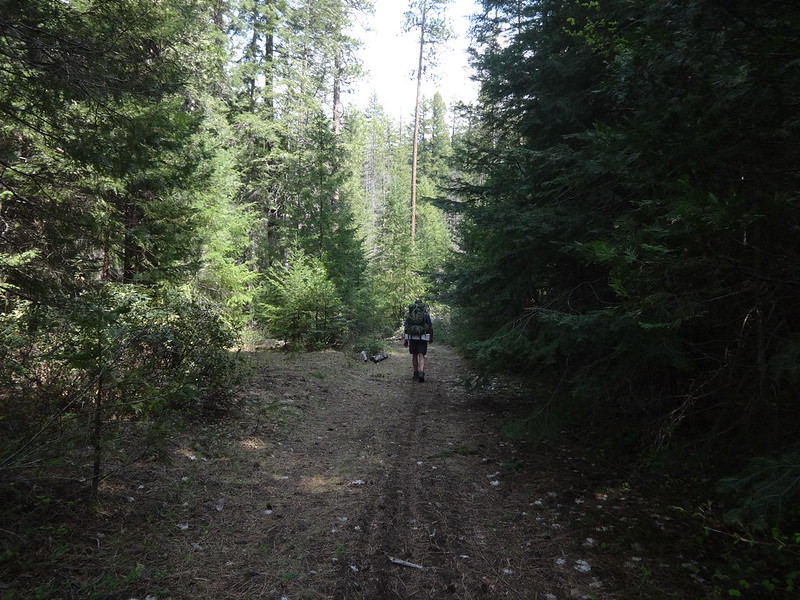
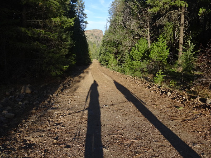
Road walking:
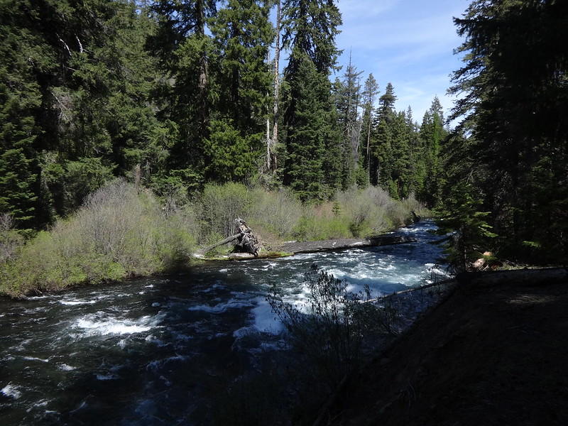
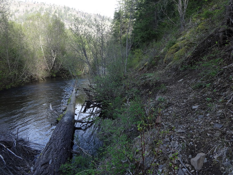
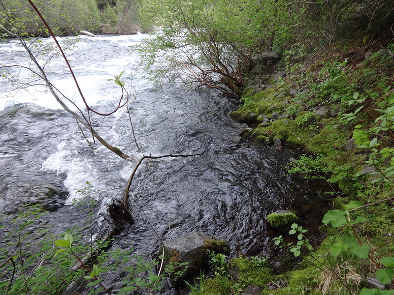
Sometimes the road is right next to the river:
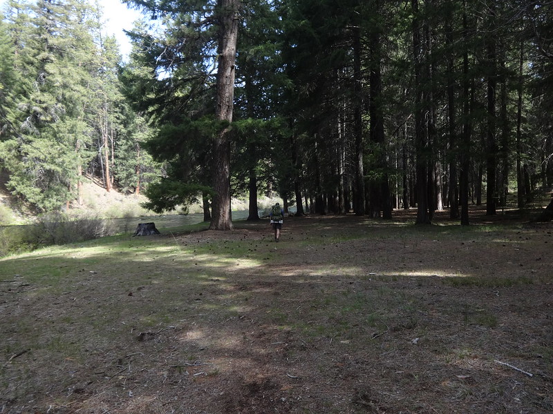
As we walked along, we would pass one river bar after another, many with campsites ranging from barely adequate to fantastic. I guess you could say we were bar hopping. Ba dum bum! Cymbal crash!
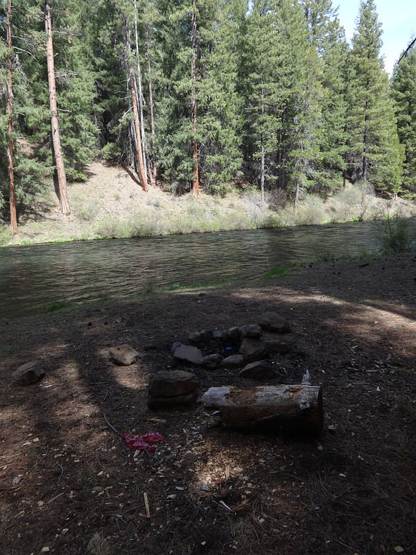
A good campsite on one of the bars around 6.5 miles:
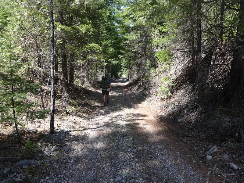
More road walking, often times in the shade...
... sometimes out in the open:
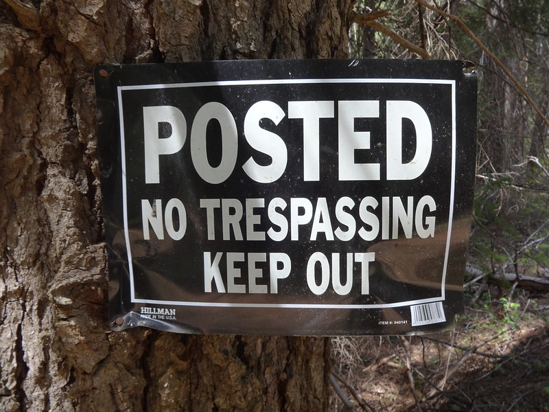
No trespassing sign at the private property line:
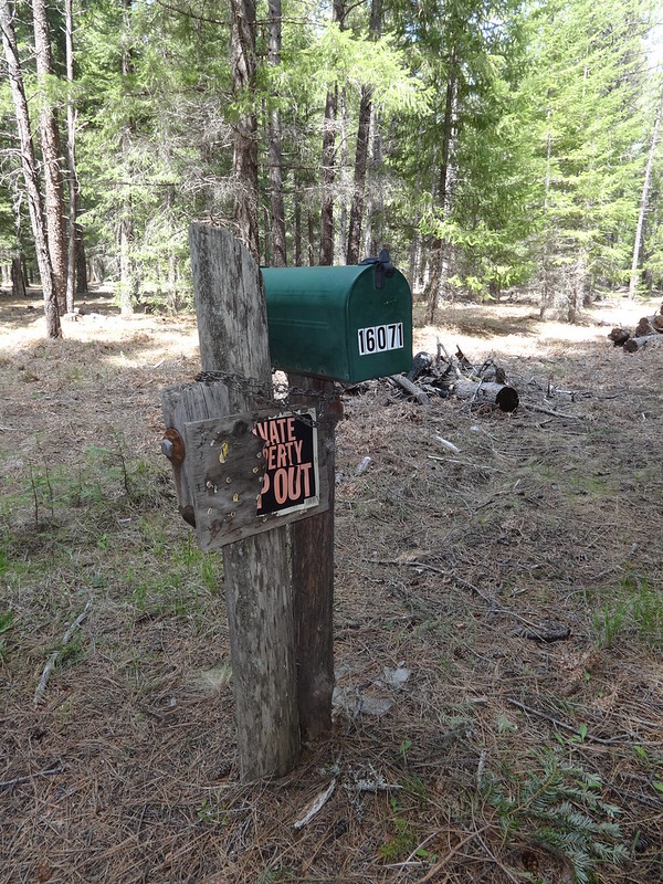
I found it amusing that there was a mailbox out in the middle of nowhere:
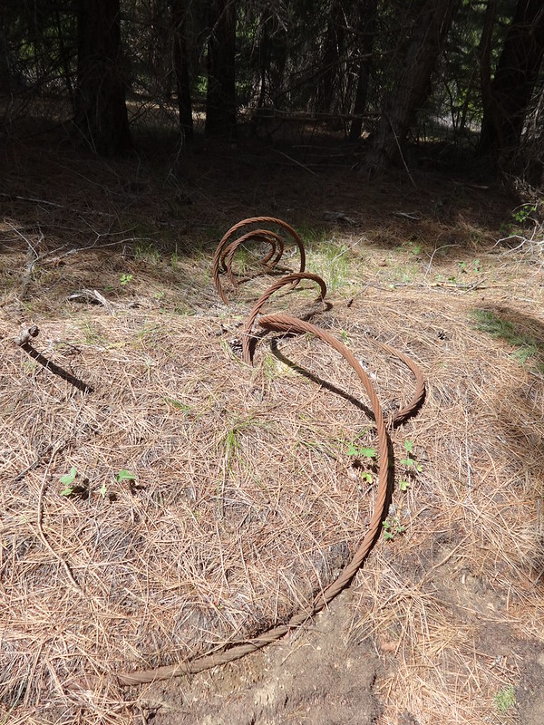
Some old cable from logging in days past:
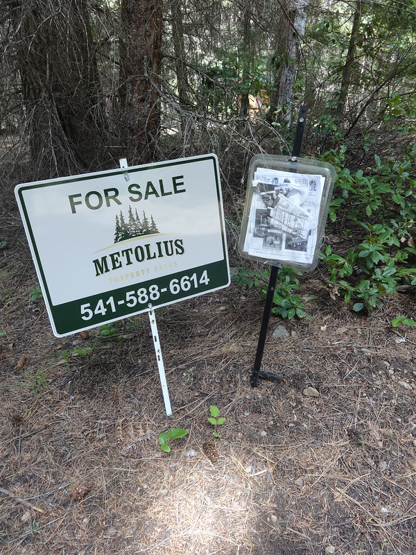
For sale sign:
For sale flyer:
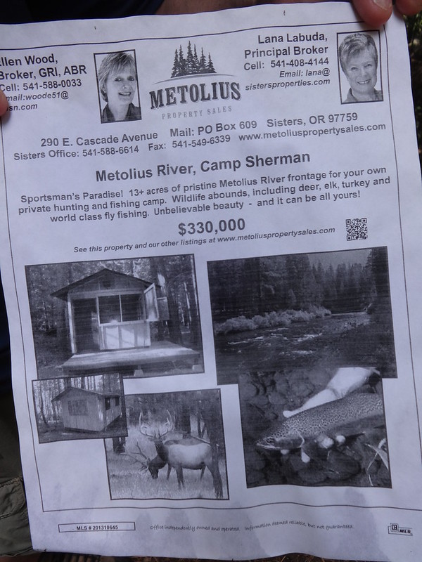
For $330,000 this could be yours:
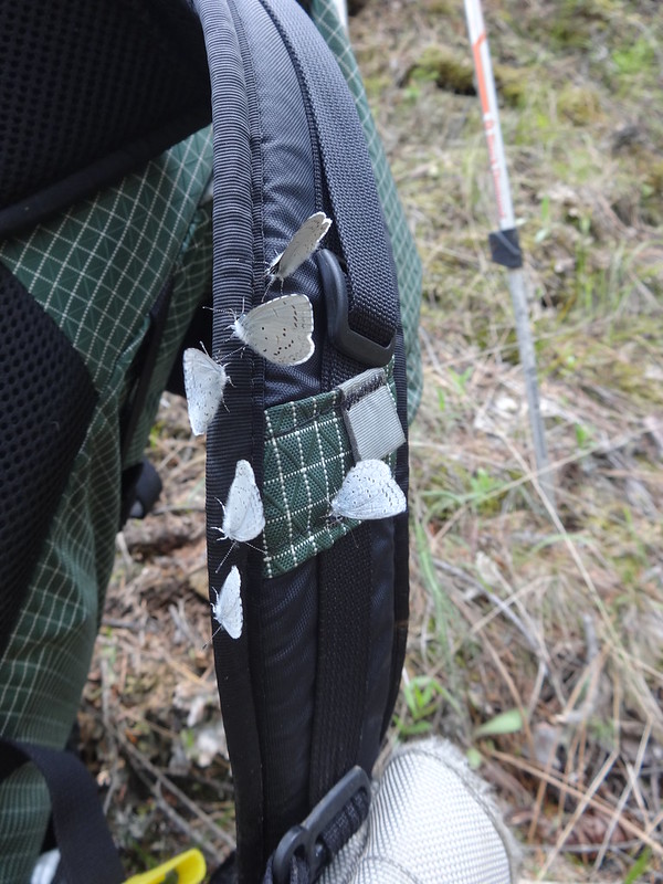
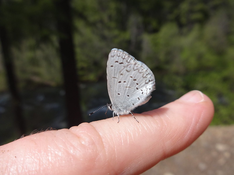
Blue copper butterflies on my pack licking salt from the strap:
Blue copper butterfly on my finger:
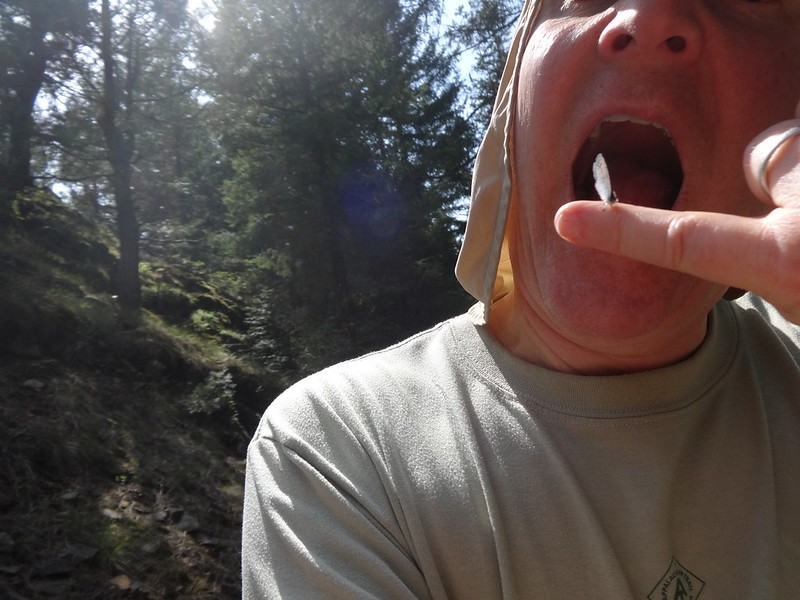
By this time I was hungry and ready to eat anything:
Fun fact about blue copper butterflies:
They rely 100% on wild buckwheat plants as their sole source of food:
Shortly after passing the private property, Chris, who was ahead of me stopped and said, "Bear!" I looked up just in time to see the brush moving as it fled into the forest, branches and bushes crashing all the way. Chris said it was a big one and it was running away from us even before he saw it. It did just what bears are supposed to do when they encounter humans.
Immediately after the two parcels of private property, the road became more overgrown:
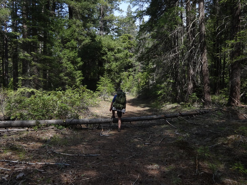
At first it was just some easy to step over logs:
Every so often the road would get very near the river:
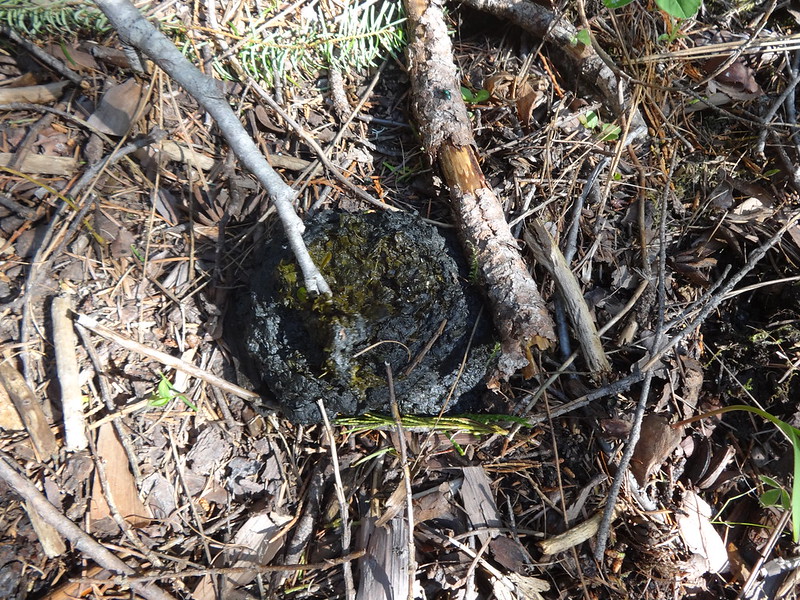
Fresh bear poop glistening in the sun:
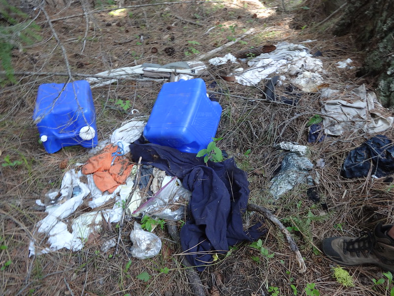
Garbage dump left by some lazy slob:
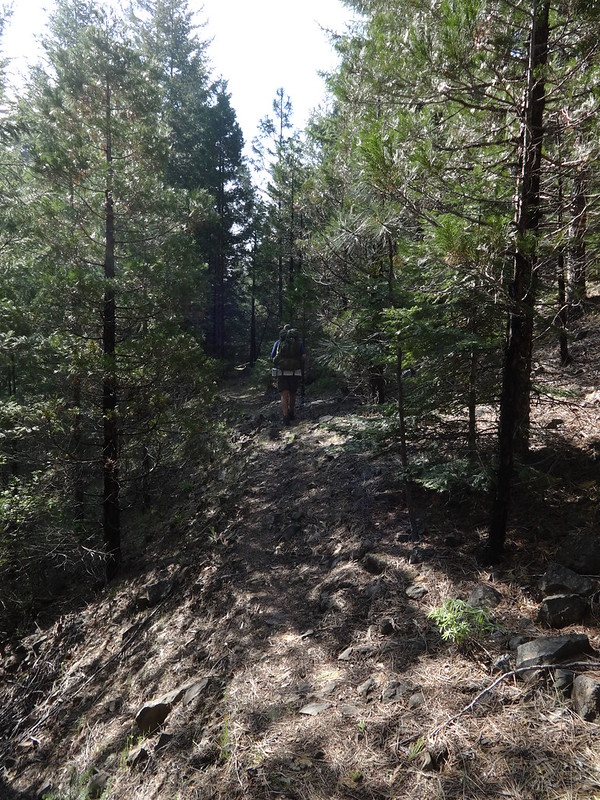
Once the road ended the path followed a sometimes difficult and overgrown trail:
View from the trail above the river:
Sloping trail right next to the river:
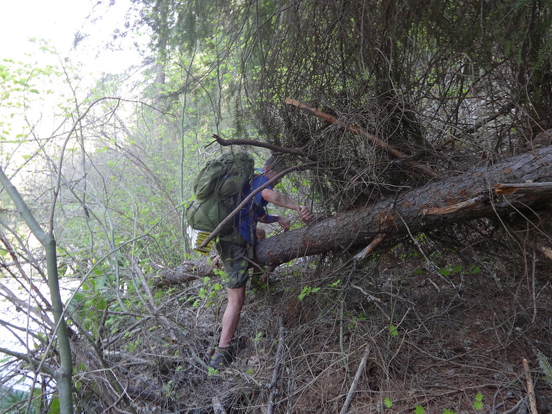
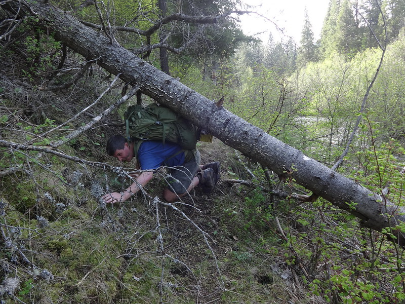
Chris crawling underneath a downed log:
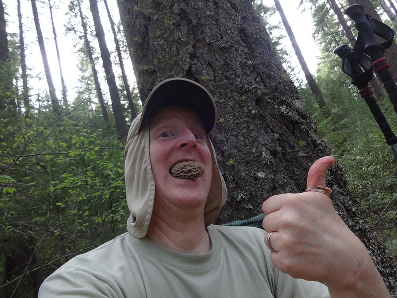
I found a morel mushroom:
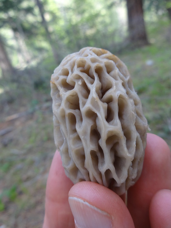
I told you I was hungry:
Trail washout. Yes, that's the trail. Just hop on the rock and jump to the other side:
Eventually the trail comes to the end of a road:
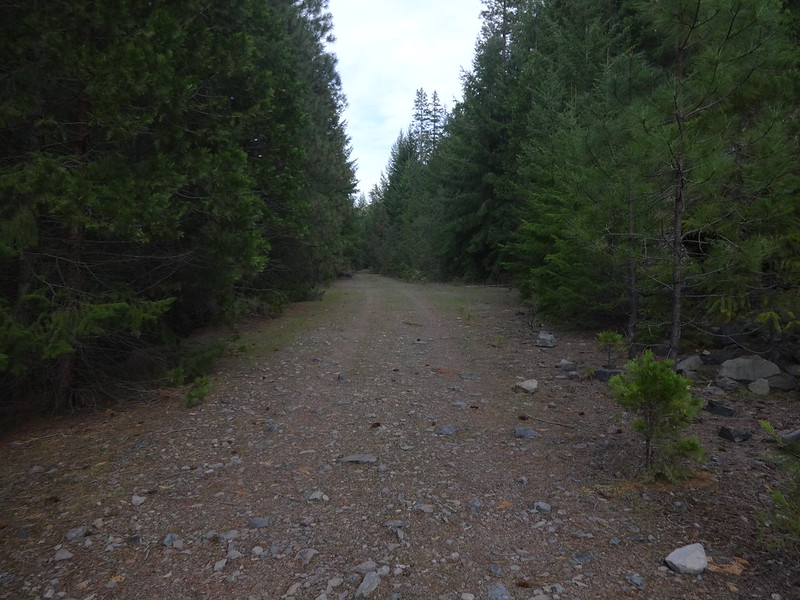
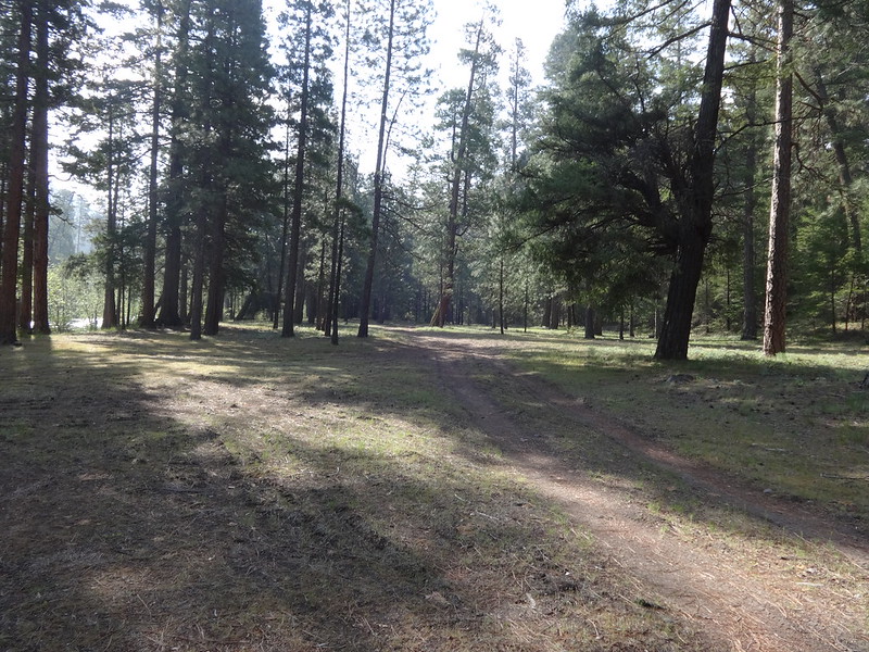
More road walking:
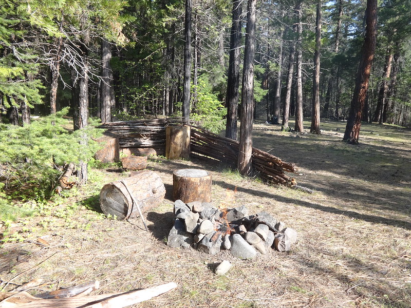
Campsite at Drift Camp:
Someone had built a shelter there around a fire pit:
Trail from Drift Camp to the far end of Monty Campground:
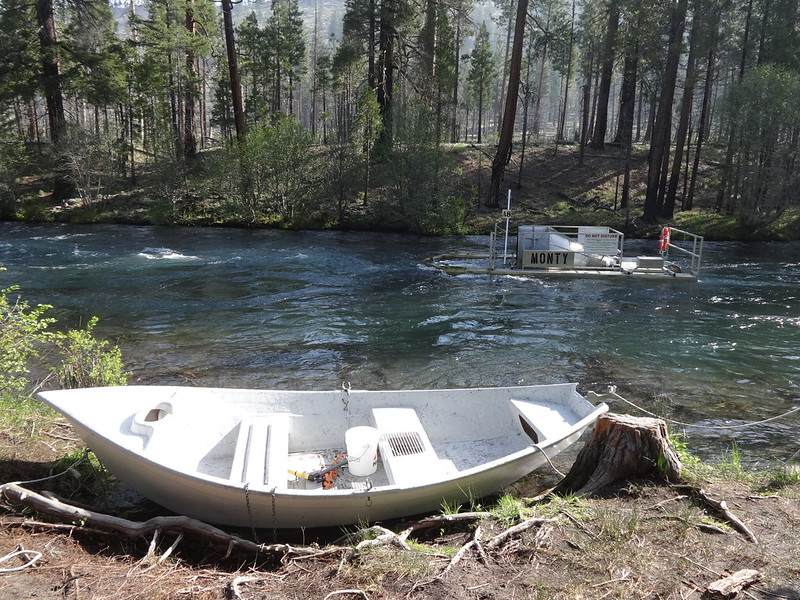
Bar on the far end of Monty Campground:
I dug up an article about Monty Campground being closed a few years back because it was a party destination for high school kids. You might want to avoid that area once the road there opens up.
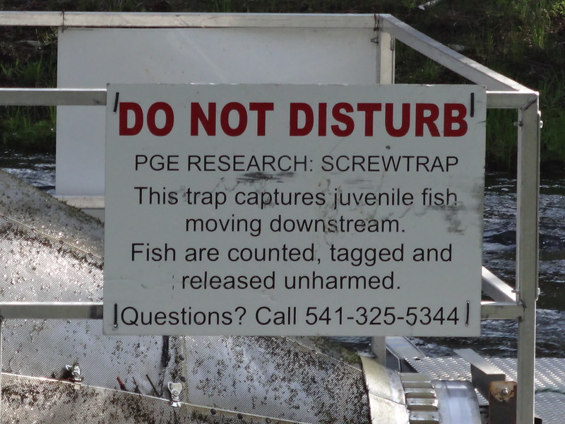
Fish screwtrap at Monty Campground:
Sign on the screwtrap:
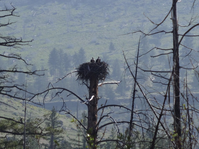
As we were walking along the road through an area that had been burned not too long ago, I noticed a bird nest in one of the tree snags. Then another and another. Within a five minute walking distance, there were at least fifteen large bird nests in the many snags. If you are not familiar with what a tree snag is, it is a dead tree, usually missing its top or many of its branches.
Ospreys in their nest:
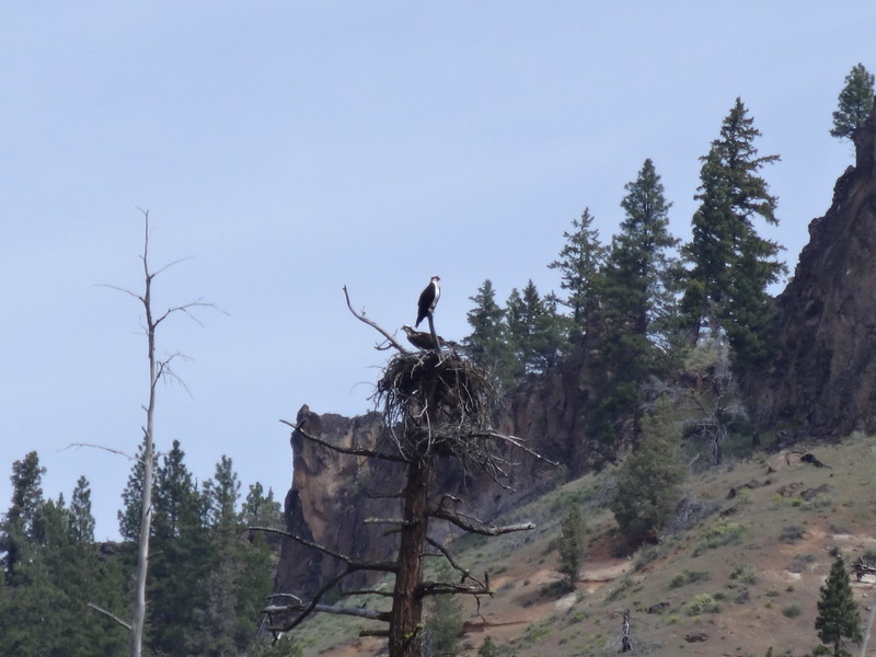
Osprey perched in its nest:
Golden eagles on a nest and in flight:
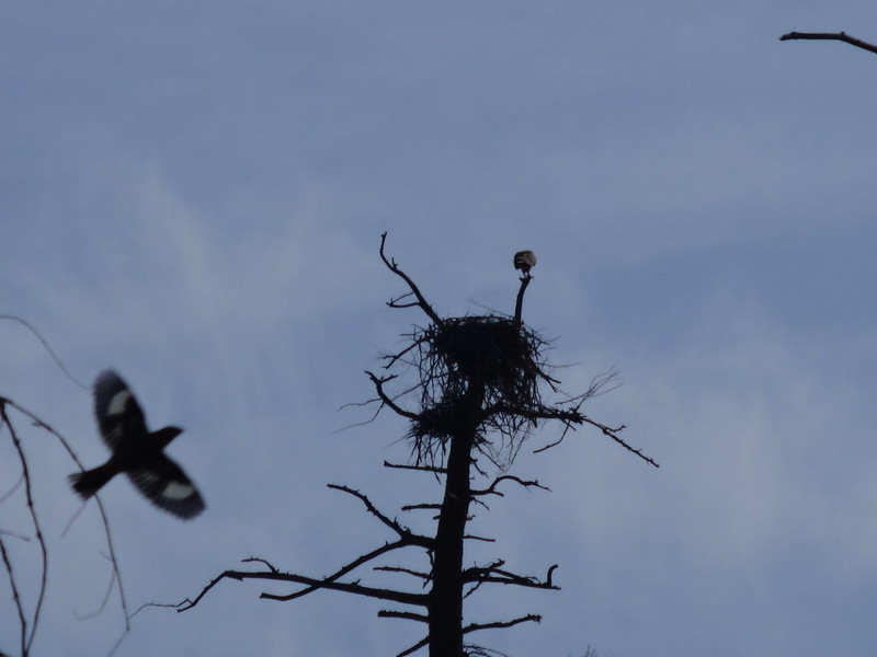
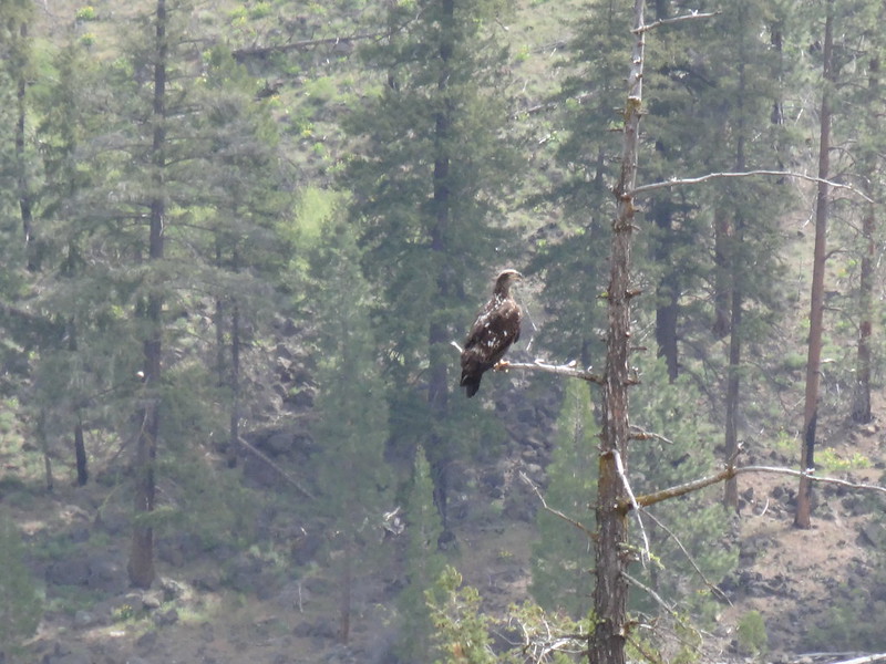
Golden eagle on its perch:
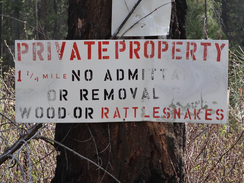
Private property sign warning not to remove rattlesnakes:
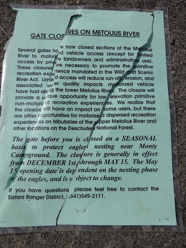
The road to Monty Campground is still gated:
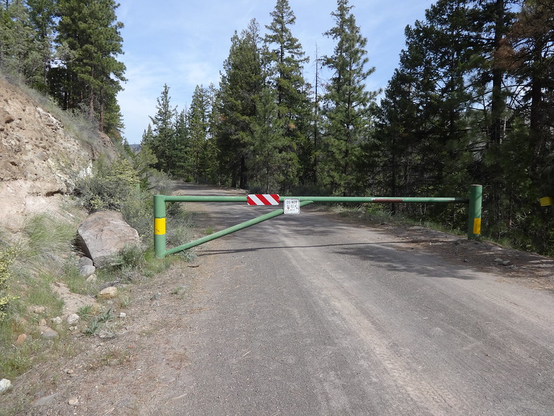
Sign explaining the gate closure:
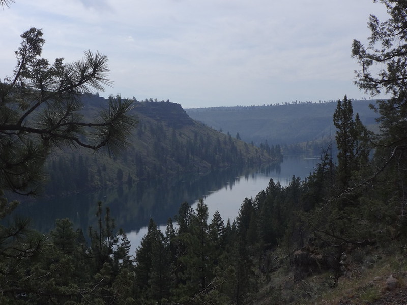
View of the Metolius arm of Lake Billy Chinook:
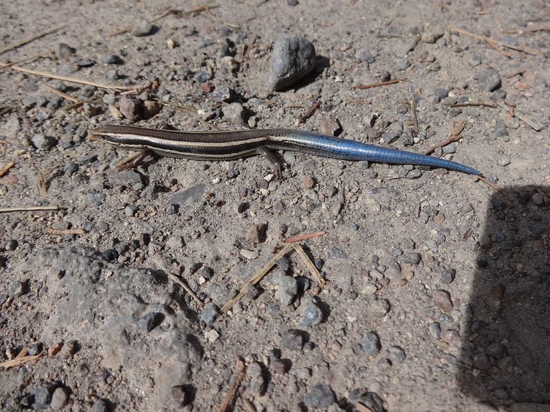
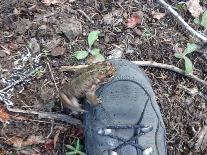
Skilton's skink:
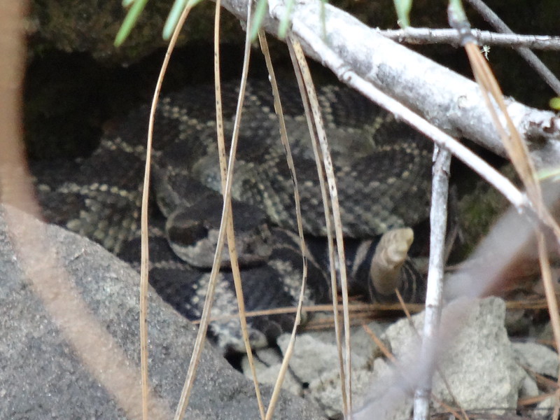
On the return trip, just after passing Monty Campground, while walking on the road, I nearly stepped on a rattlesnake. Fortunately, it must have felt the vibrations of us walking and shook its rattle vigorously then slithered away. Needless to say, I was more than startled. It was about three and a half feet long and I didn't even see it right there in front of me on the road. Of course, I wasn't so startled that I couldn't take a picture, safely with the zoom lens of course.
The rattlesnake I almost stepped on:
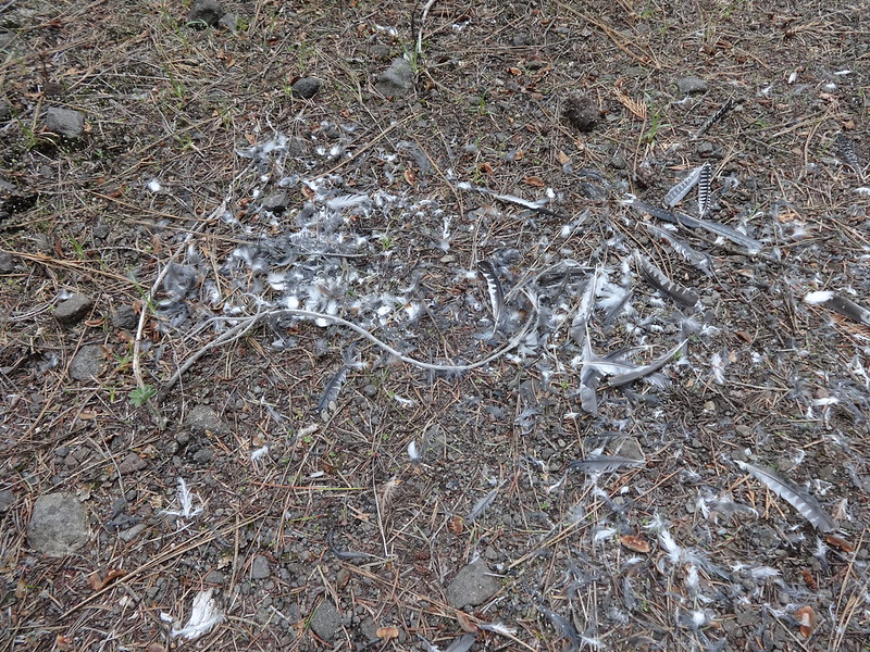
Remnants of an owl that met its fate here:
This western toad did not want to sit still for a picture:
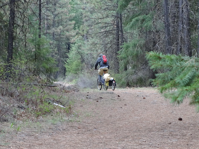
Fisherman bicyclist passing us on the road:
Final notes:
- No ticks or mosquitoes. A few black flies.
- There was more road walking than trail walking.
- Some sections of the trail are overgrown with slap-you-in-the-face bushes and numerous downed logs.
- We saw one person on a bike and two trucks on the closed road the entire trip.
- Stats: 42.1 miles, 2800' EG., 13.27 hours moving time.

