When: 4/8/14
Who: Brad (Born2BBrad), Nat (Bosterson)
Route: Herman Creek TH, Herman Creek Trail, Tomlike Mountain (express route), Chinidere Mountain (express route), PCT (via shortcut), Benson Plateau, Herman Creek TH.
This will be a quick trip report to mainly show the snow level conditions to those who are interested. Looking ahead at the weather forecast, Nat and I decided to take a day off work to get a hike in when skies were sunny and the temperatures were warm, or at least not cold. It worked out great! The weather was great and the clouds and rain held off until we got back to the car.
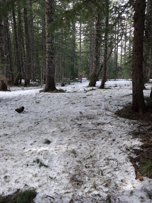
My guess is that we hiked on and through 5-6 miles of snow. Very little of it was compacted enough to walk on without sinking either a little or a lot. Hiking through that stuff is much more strenuous and harder on the body.
Here’s the pics:
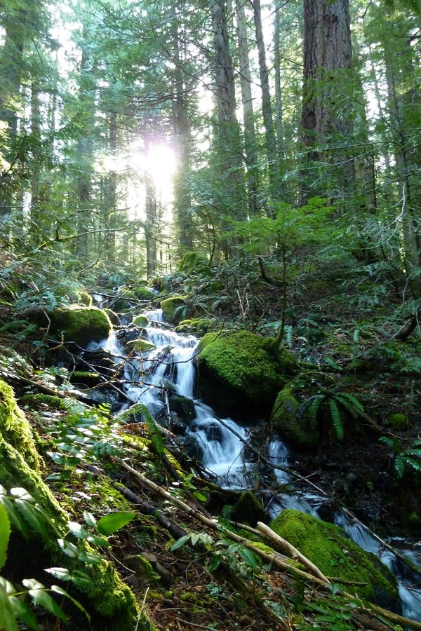
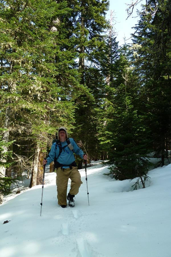
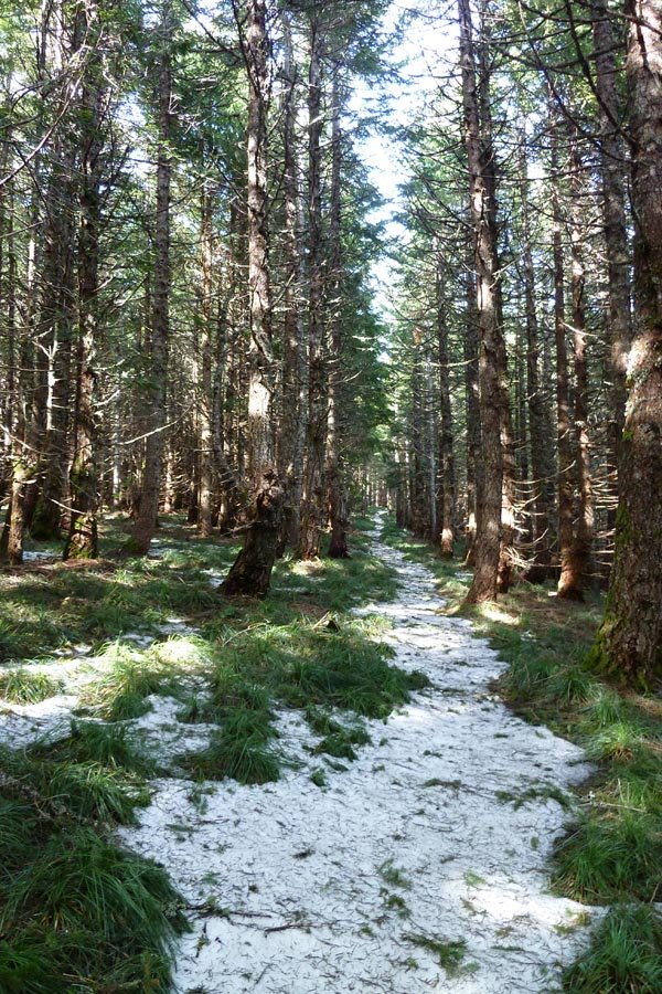
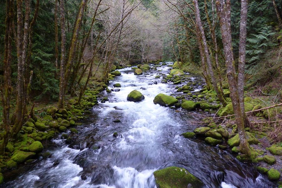
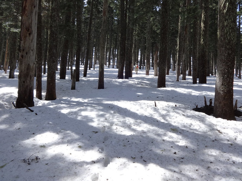
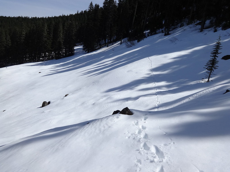
Opening picture:
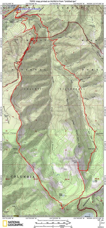
Tracks in NatGeo Topo:
Tomlike express route from Herman Creek Trail:
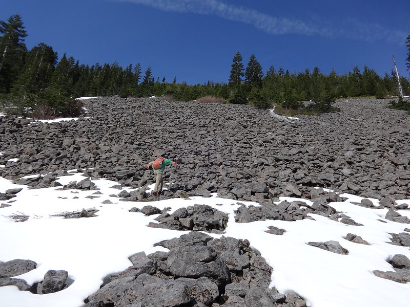
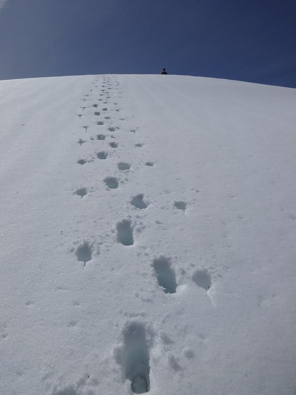
Climbing the talus slope/on the rocks:
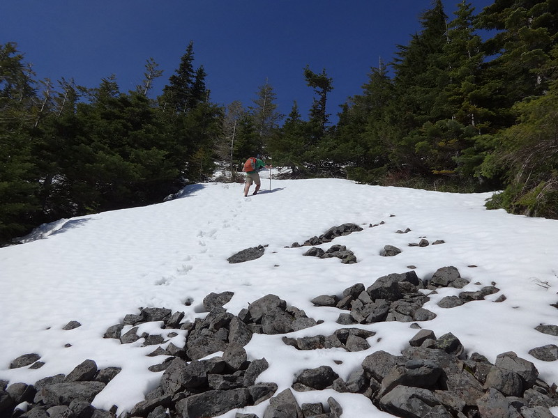
Climbing the talus slope/in the snow:
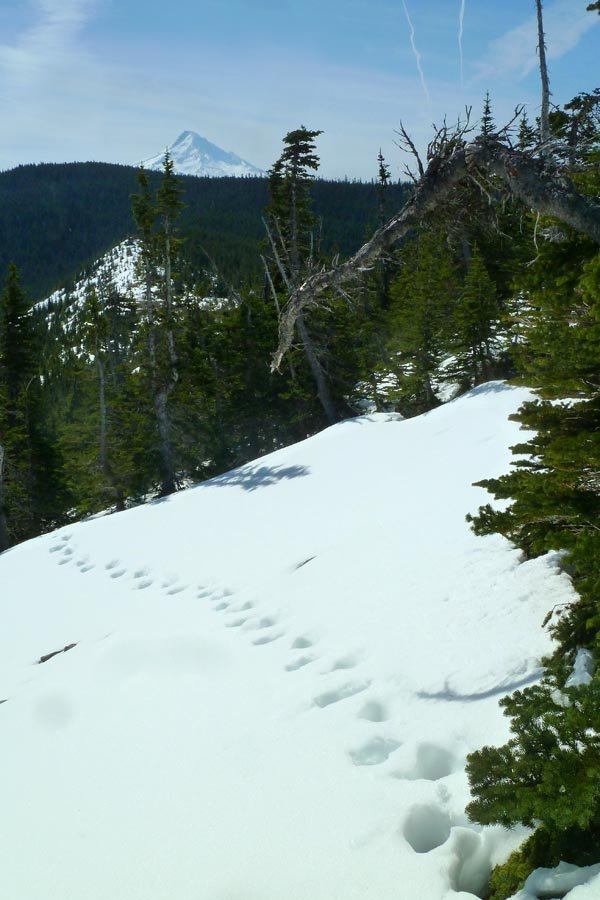
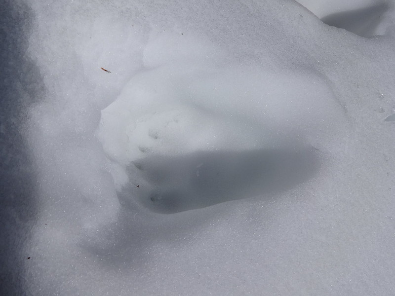
Bear print in the snow:
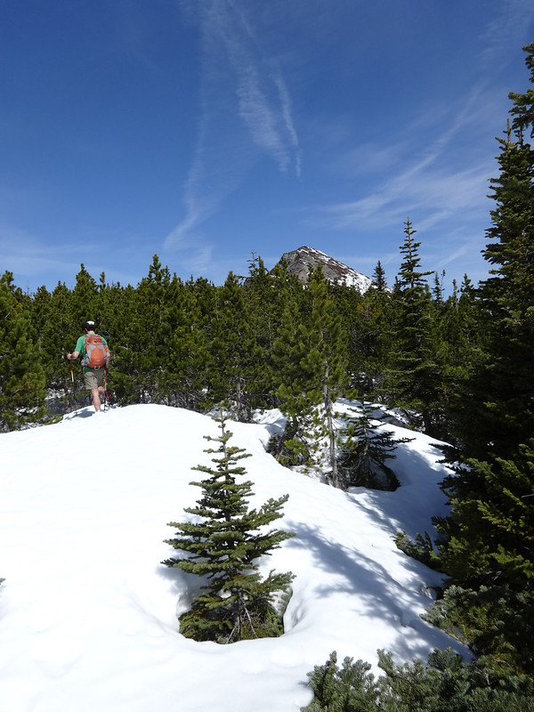
Dwarf forest/lower Tomlike Summit:
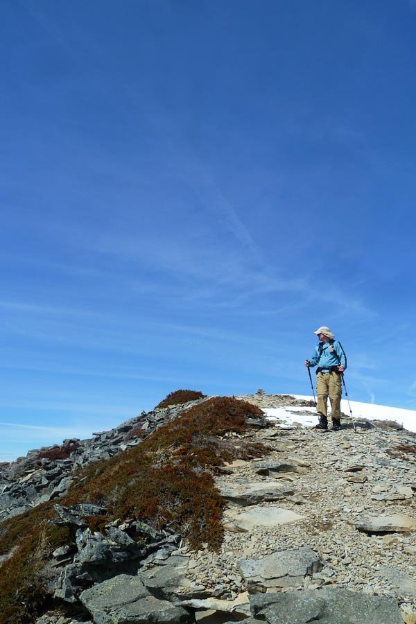
The summit of Tomlike Mountain:
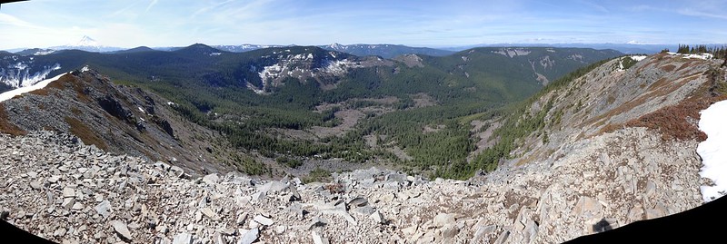
Distorted panorama from Tomlike Summit:
Tomlike 360:
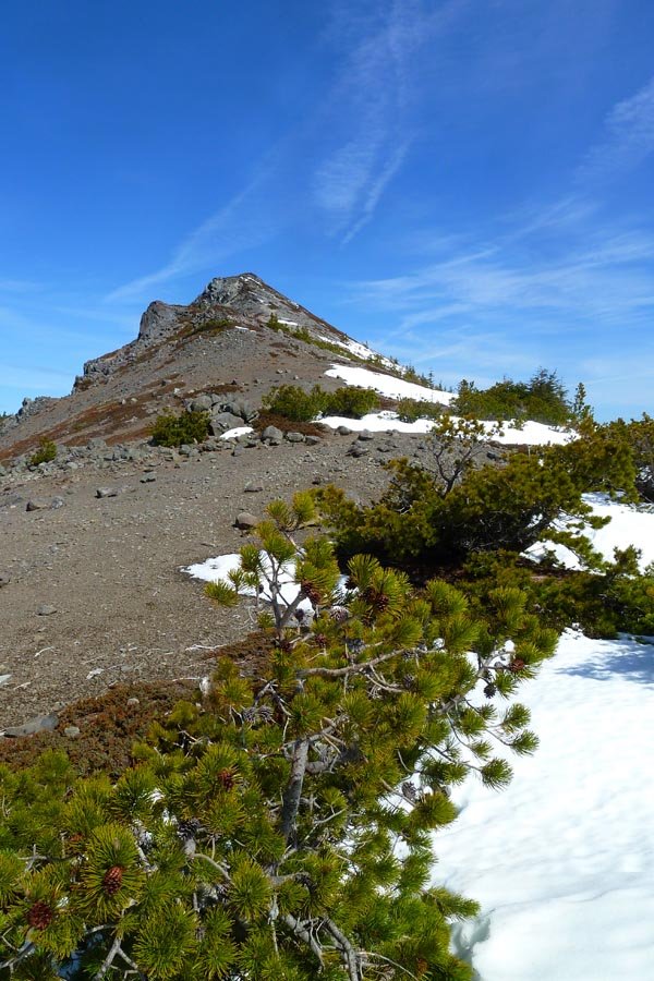
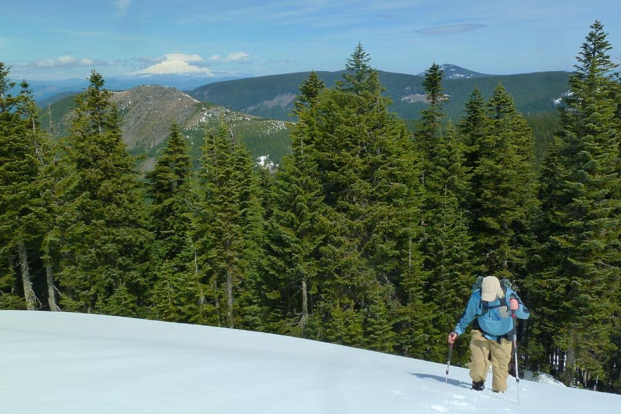
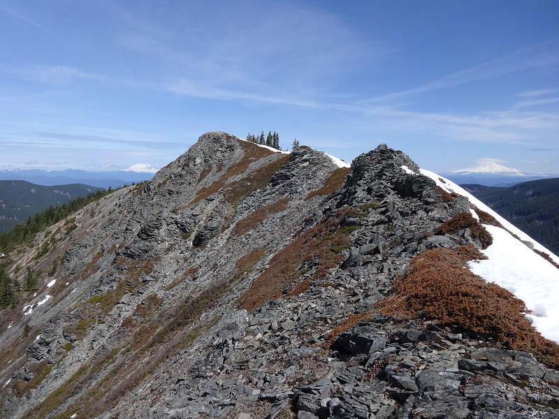
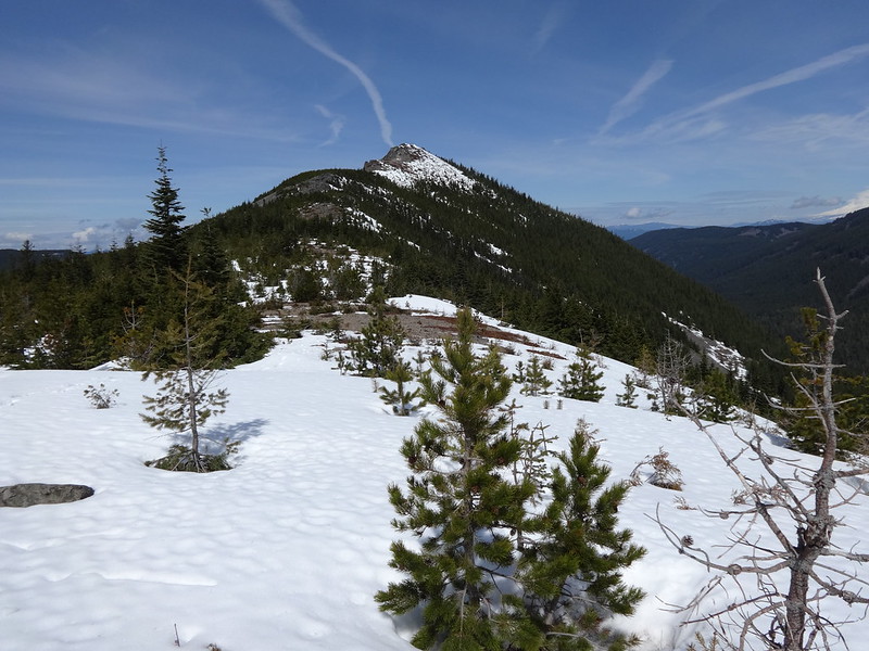
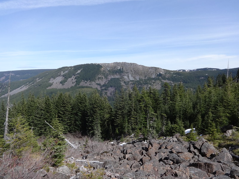
Looking back at Tomlike Mountain:
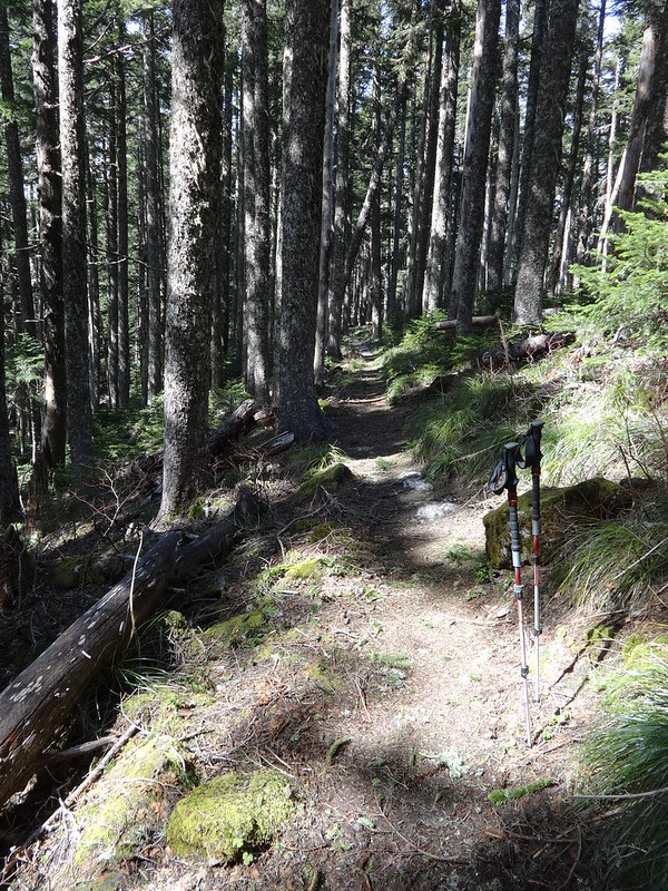
The slight climb back to the Herman Creek Trail:
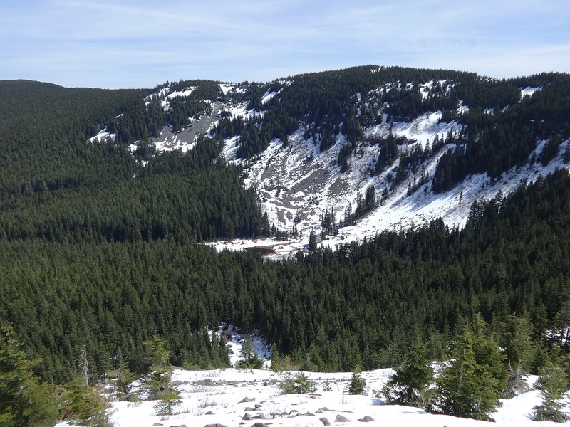
Lots of snow around Mud Lake:
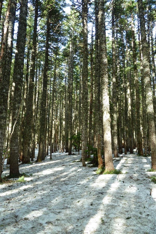
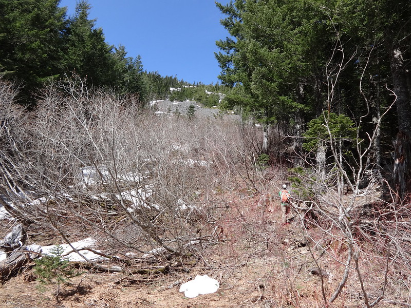
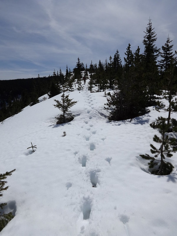
The trail from Tomlike to Chinidere was like this the whole way:
Taking the Chinidere express route:
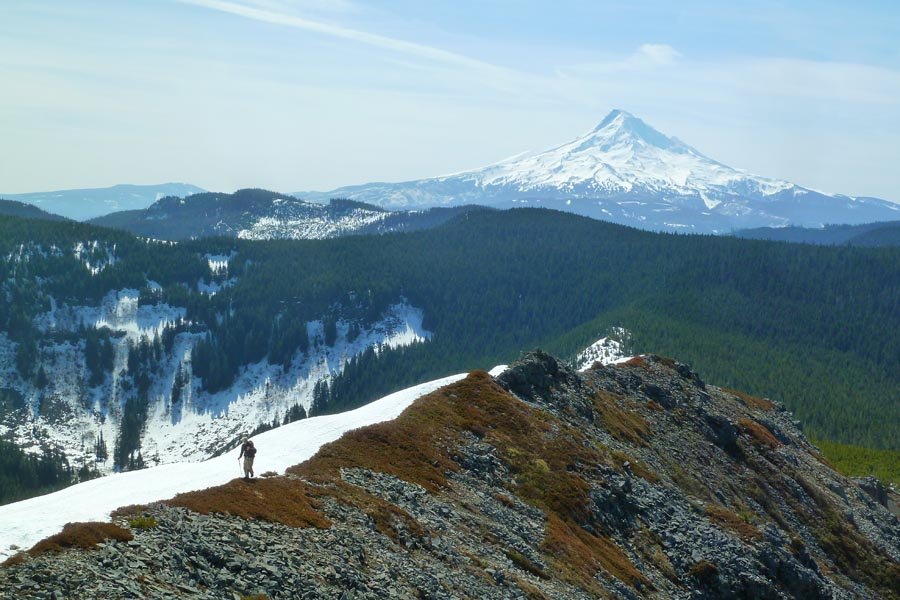
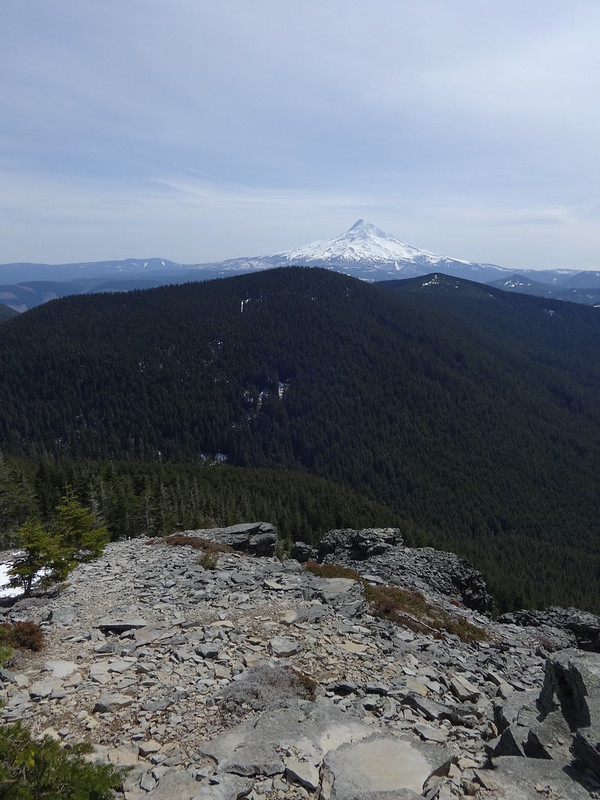
Mt. Hood from Chinidere summit:
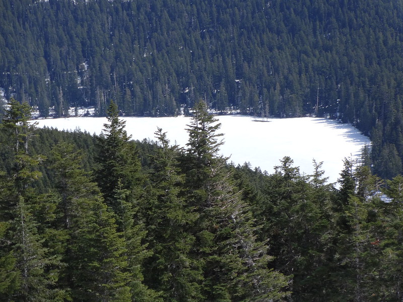
Wahtum Lake still covered in ice:
Shortcut bypassing the PCT around Chinidere:
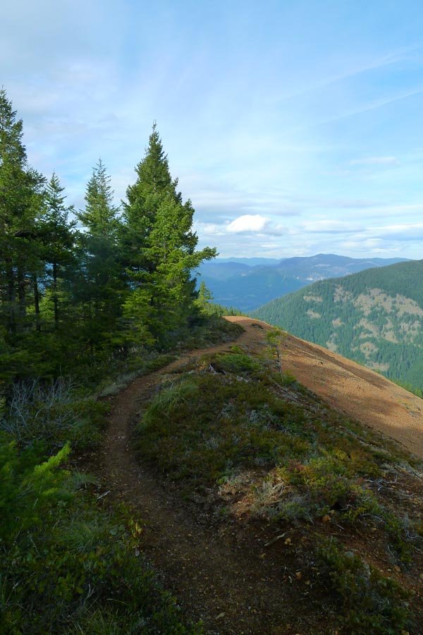
No snow once we popped out on the PCT to the NW of Chinidere:
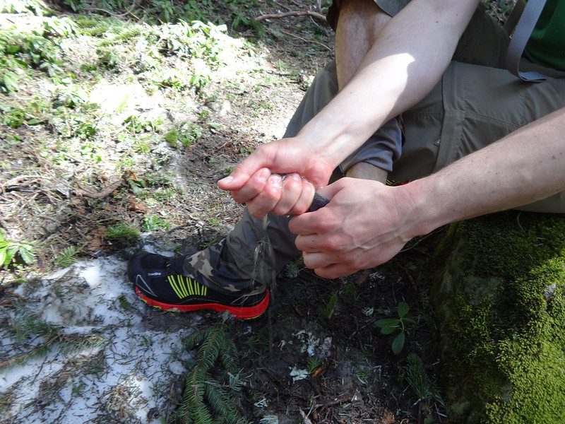
Nat wringing out his socks:
Tomlike Mountain from the PCT:
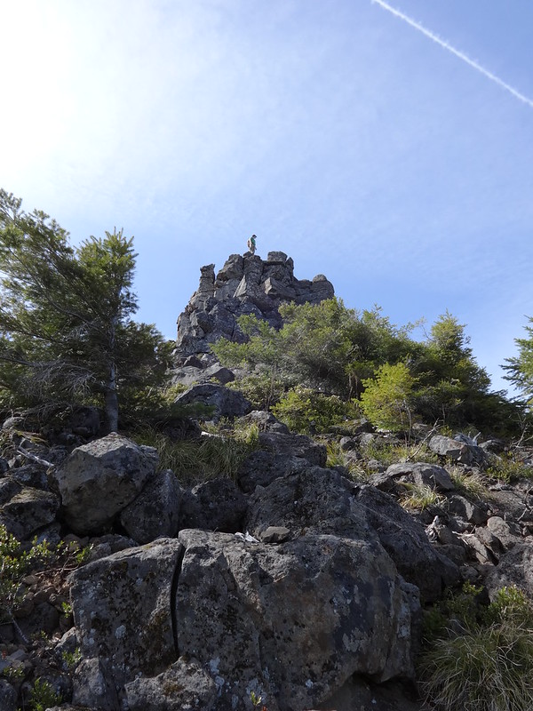
Nat just has to climb every rock in sight:
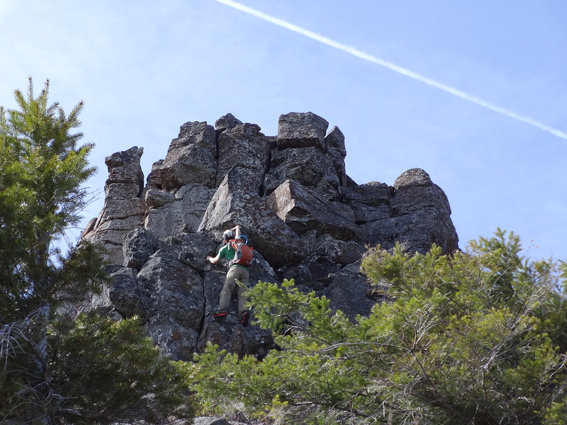
He made it!:
The entire PCT on Benson Plateau was covered in snow:
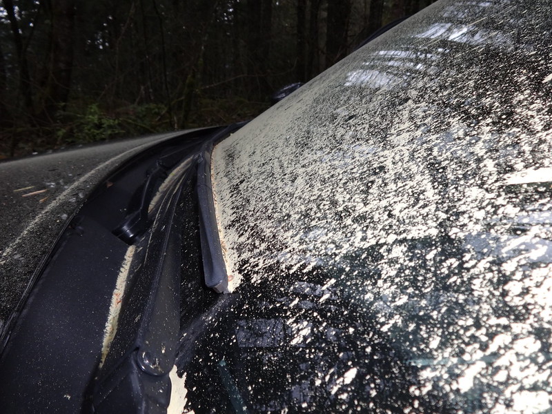
Back at the TH my car was covered in pollen:
Stats:
• Mileage: Trip computer 25.4; GPS Fly 23.8
• Elevation Gain: Trip computer 6258’; GPS Fly 5939’
• Moving Time: 8 hrs 15 minutes