
When: 3/16/14
Who: Me (Born2BBrad) and Chris (Hiker Chris)
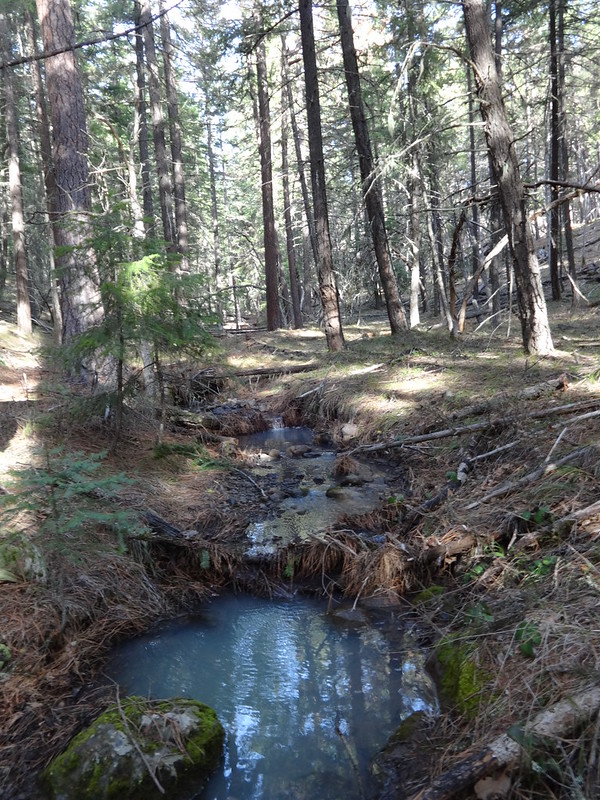
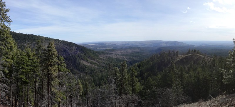
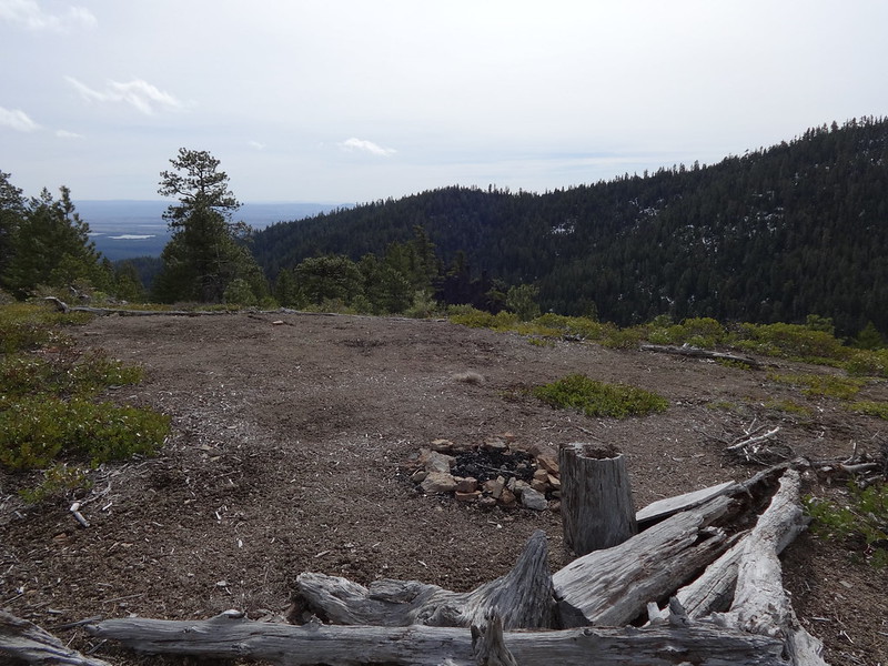
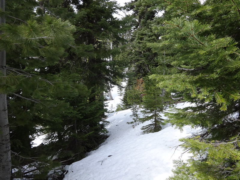
Opening picture:
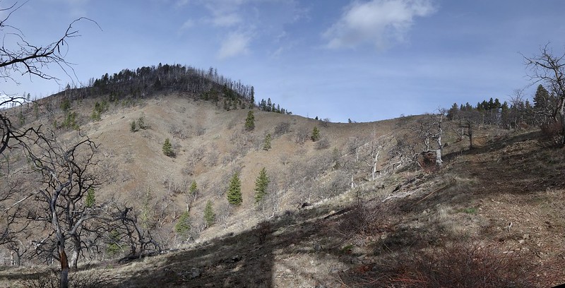
I’ve been doing a lot of hikes in the Columbia River Gorge this year and not much else. The trailheads are close to Portland and I’m familiar with all the trails. They are kind of like putting on my favorite sweats: comfortable, but not always pleasing to the eye.
I thought it was time for something completely different, as Monty Python would say. So I turned my attention to the Badger Creek Wilderness on the east side of the Mt. Hood National Forest. I came up with three ideas: Badger Creek from Bonney Crossing, Fifteenmile Creek from the lower trailhead west of Dufur and the Little Badger Creek/School Canyon loop west of Tygh Valley.
Quick facts about the Badger Creek Wilderness:
• Created in 1984.
• 29,057 acres.
• 55 miles of trails.
• 21st largest wilderness in Oregon, or 23rd depending on the source.
• Highest point is Lookout Mountain at 6525’.
• Three creeks drain the wilderness: Badger Creek, Little Badger Creek and Tygh Creek.
I decided on the Little Badger Creek/School Canyon Loop, mainly because of the shorter drive time and ease of finding the trailhead.
I asked my hiking buddy, Chris, what he thought of that idea, and he was up for it. I told Chris that even though we’d be in the Badger Creek Wilderness, there really aren’t any badgers there. He said that was fine with him because, as he put it, “Badgers! We don’t need no stinkin’ badgers!!”
Fortunately, Portland Hikers member, Romann has a great field guide write-up, and had posted a trip report last year. That meant I didn’t have to do all the research. In fact, I can safely say that a person could use the field guide write-up as their sole source of information for this loop. Even the map met with my high standards. Thanks Romann! You da mann.
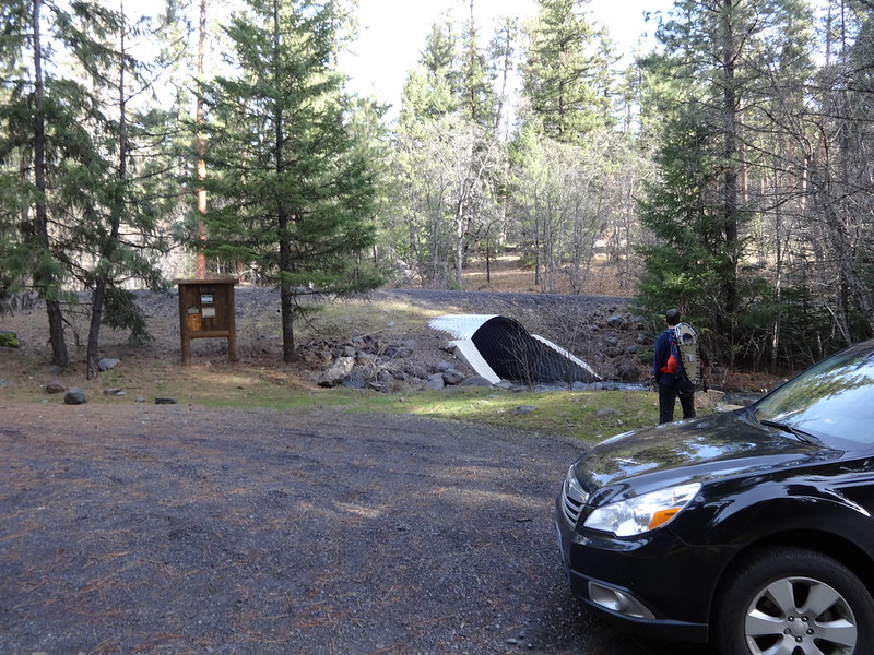
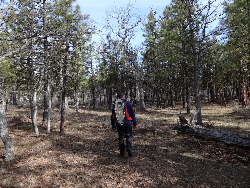
We decided to start at the Little Badger Creek trailhead at 1970’, although the loop can also be done starting from the School Canyon trailhead at 2680’. With our snowshoes strapped to our packs, we were off!
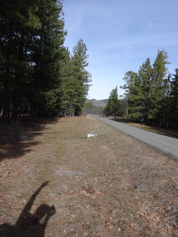
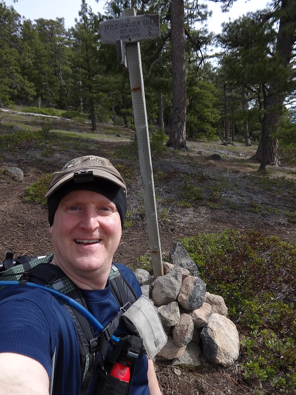
Little Badger Creek Trailhead:
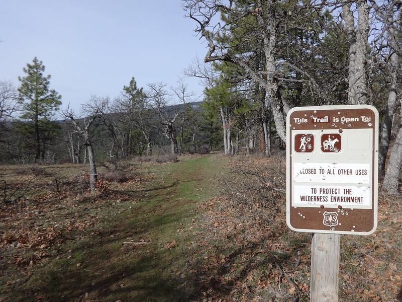
Trail Sign:
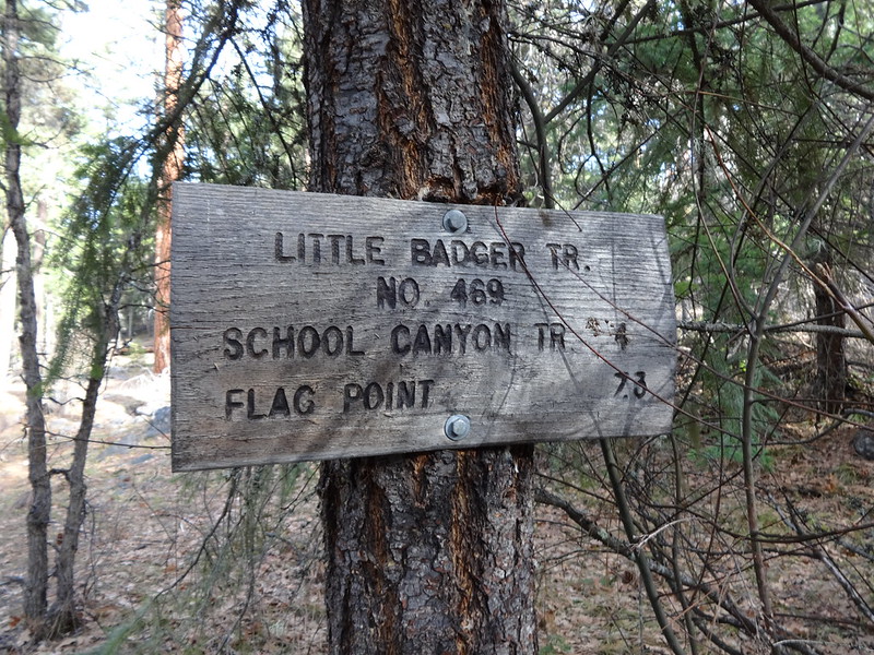
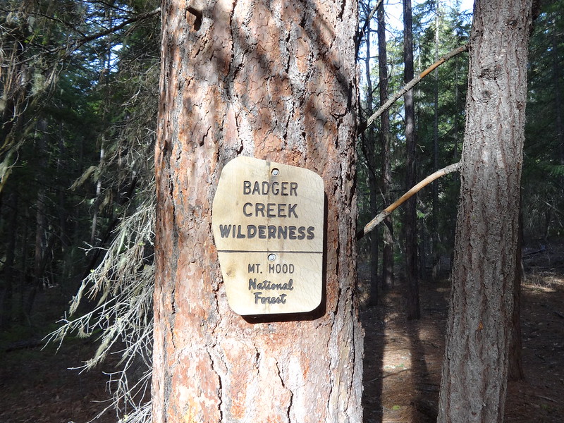
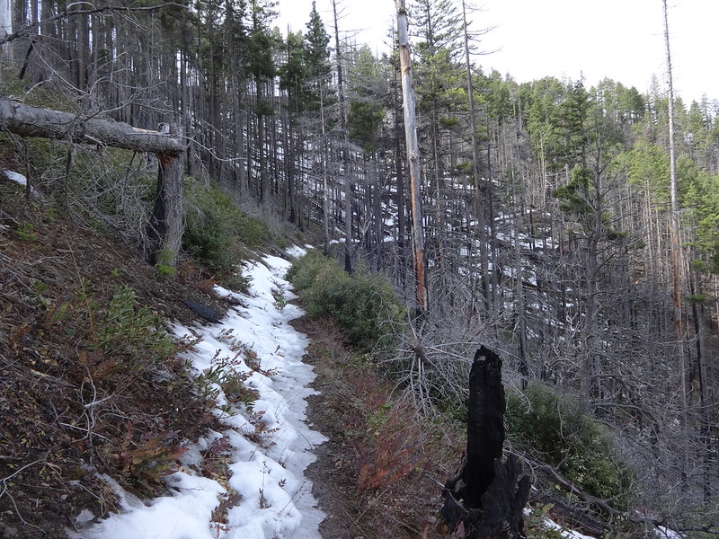
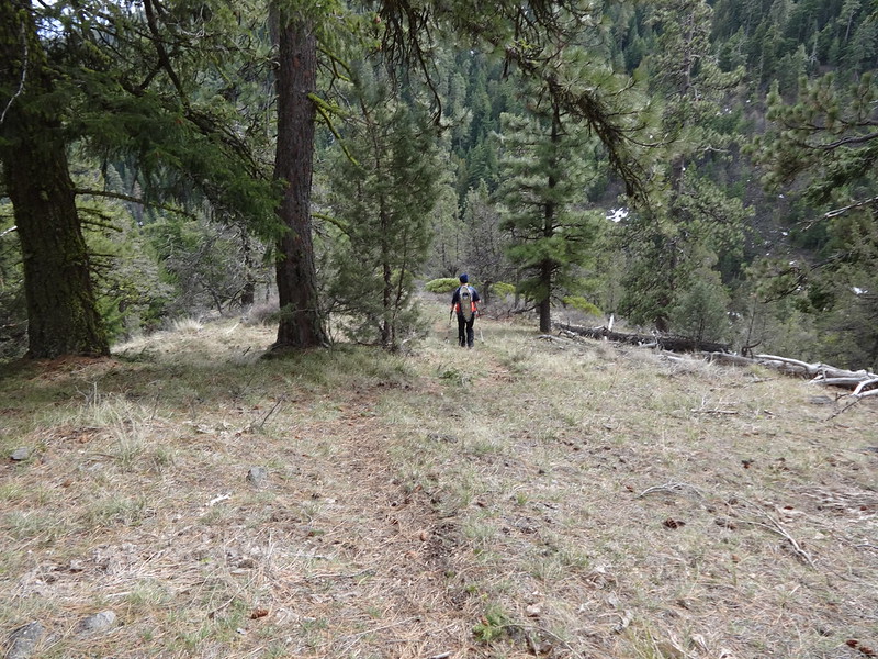
The Little Badger Creek Trail follows the creek at the start. Within minutes we entered the wilderness.
Entering the Wilderness:
Romann’s field guide write-up describes an off-trail shortcut that eliminates several miles of road walking between the two trailheads. Shortly after entering the wilderness, Chris and I headed north off-trail to hook up with School Canyon trailhead. The results were just as described in the field guide.
Small Unnamed Creek on Off-Trail Jaunt:
Eventually the Off-Trail Part Leveled Out:
Walking on the Road for a Short Bit. The School Canyon TH Pullout Directly in the Center:
The School Canyon Trail starts out on an old road, slowly gaining elevation through a burned area with views to the south of Mt. Jefferson. The angle of the sun and the haze prevented any kind of worthwhile picture of Mt. Jefferson.
The Start of the School Canyon Trail:
Soon the trail climbs to a saddle (3245’) below Ball Point (3959’) and begins to go around the north side of the point. There were good views of the high desert of Central Oregon. I'll skip the obvious joke about the Ball Point name. Hint: Bic.
Ball Point and the Saddle:
View of Central Oregon High Desert:
Once on the north side of Ball Point, we ran into some minor patches of snow and some blow-down. The edges of the snow were pure ice and slippery as snot on a wet, mossy rock.
Snow on the North Side of Ball Point:
Not too far after rounding Ball Point is the intersection with the Little Badger Creek Trail (4000’). The trail sign post had fallen down, so we did our best to stand it back up. I don’t think it will stay upright very long.
Log Across Trail After Passing Ball Point:

Downed Sign Post:
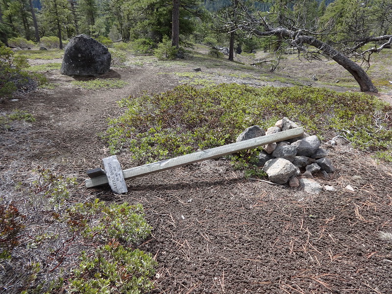
I Fixed it!
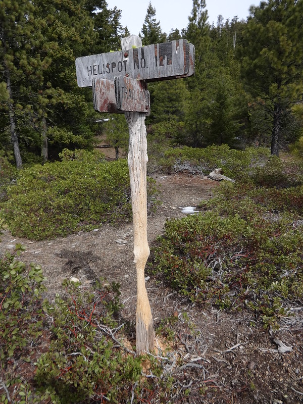
Hiking up the Little Badger Creek Trail, we almost missed the unsigned side trail to the helispot. For those of you unfamiliar with what a helispot is, it is a location, oftentimes in a wilderness or national forest, used to land helicopters for purposes of depositing firefighting crews. They are also used for emergency evacuations.
Helispot:
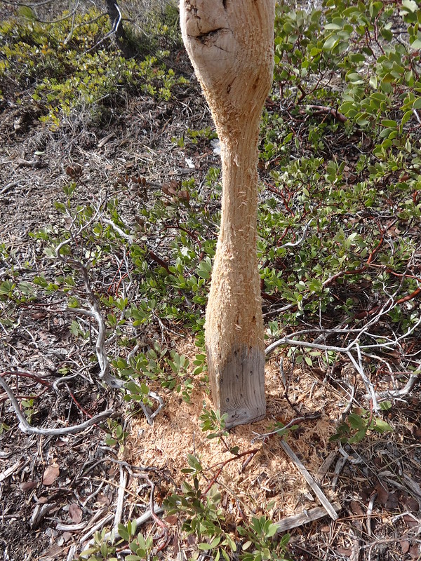
The helispot sign post looked like it had been whittled down with a knife. I think it was the work of a porcupine.
Helispot Sign Post:
Closeup of the Sign Post:
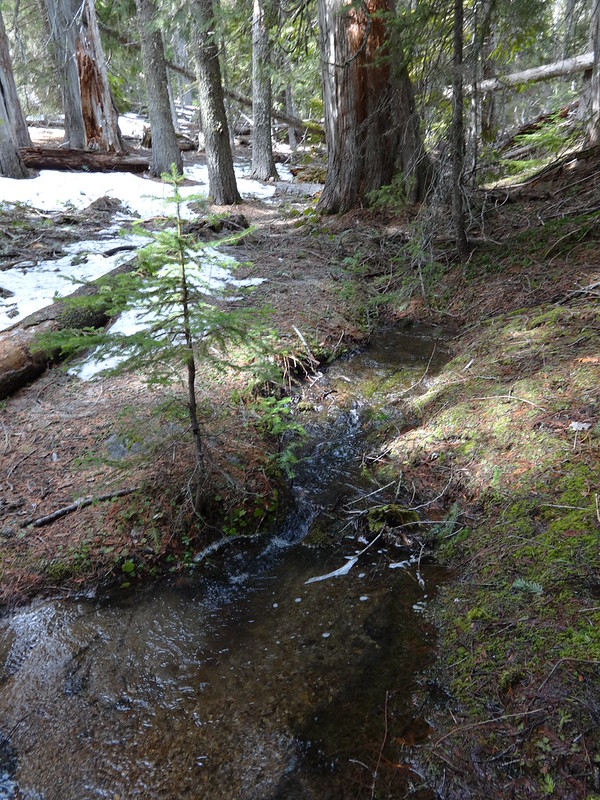
We took a quick side trip to check out the spring to the NW of the helispot. It was flowing pretty good, coming right out of the ground. I almost wished I needed to fill up on water.
Spring Coming Right Out of the Ground:
We continued on up the Little Badger Creek Trail up to 4740’ before running into snow deep enough to make hiking in just boots difficult. Even though we had snowshoes, we elected to turn around. We had considered trying to make it to Flag Point. Yep, another story of hikers carrying snowshoes and not using them. Oh well, it’s good weight-carrying practice for upcoming backpacking trips.
Turnaround Spot:
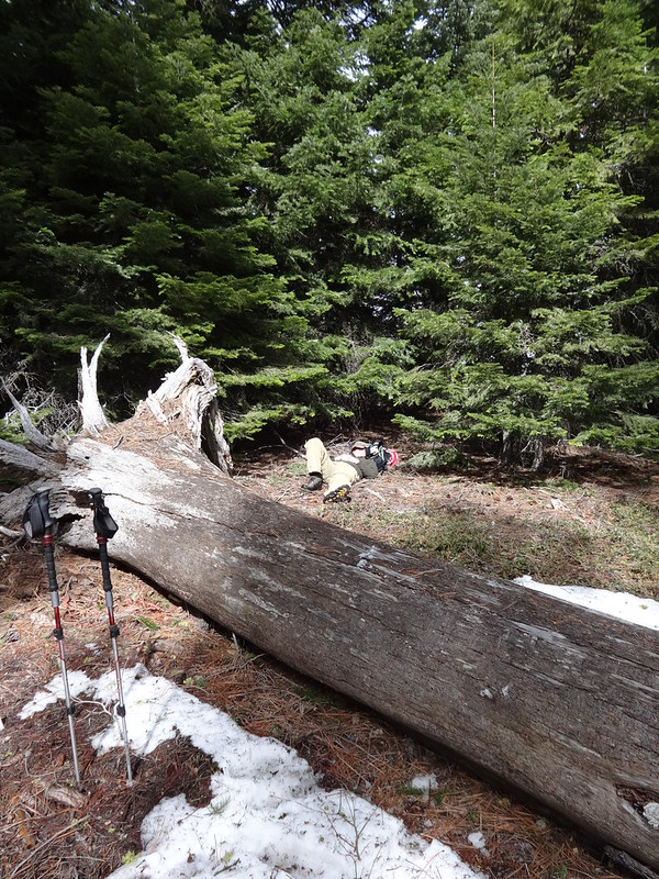
Shortly after turning around, we took our first and only rest break of the day. The ground was so soft I could have taken a nap.
Instead of an Action Shot, Here's an Inaction Shot:
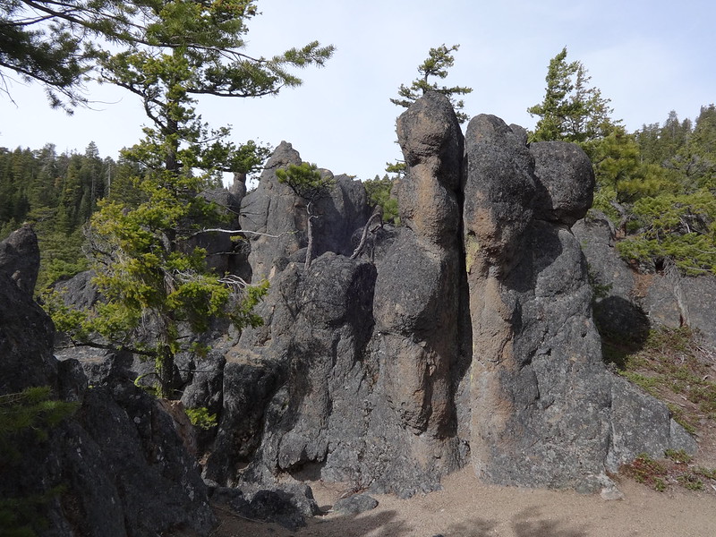
On the way back, we took a short side trip to see the Rock Garden. The Rock Garden is series of interesting rock formations just to the east of the helispot.
An Example of One of the Rock Garden Rock Formations:
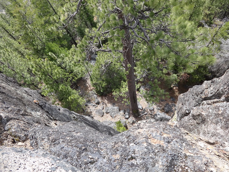
It's Straight Down on the Other Side of the Rocks:
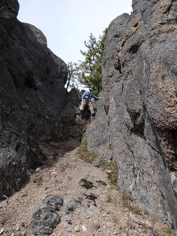
Hey Mom! Look at Me!
Rather than heading back up to the Little Badger Creek Trail from where we came, we headed east off-trail to meet the trail after it heads steeply downhill.
This Part is Fairly Steep:
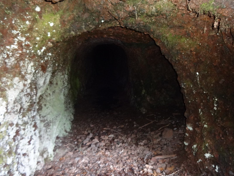
Following the directions from the field guide, we took the very short side trip to check out the Old Kinzel Mine (3160’). Romann says it’s 80’ long and curves like a “J”, has resident mice and is safe to explore. I’ll take his word for it. Besides I’m afraid of mice. Seriously, mice represent more of a danger than bears or cougars due to Hantavirus.
Opening to the Old Kinzel Mine:
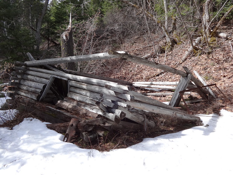
Very near the Old Kinzel Mine are the remnants of the Miner’s Cabin. If it was owned by a person under 18 who was an insignificant character, it would be the Minor Minor’s Miner Cabin. Wrap your head around that one.
Miner's Cabin:
At this spot the trail is right next to the creek. For the rest of the trail until the last mile and a half, the trail is high above the creek.
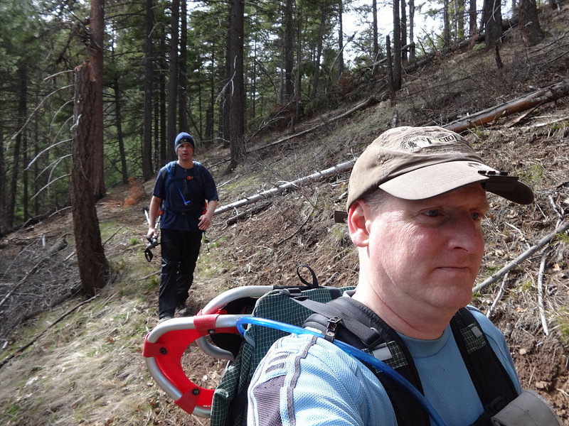
The rest of the hike back to the trailhead was uneventful except for the large amount of blow-down we had to negotiate and Chris getting pelted on the back of his neck with a large pine cone.
Chris Demonstrating His Gymnastic Skills. Score of 9.5 Including the Dismount:
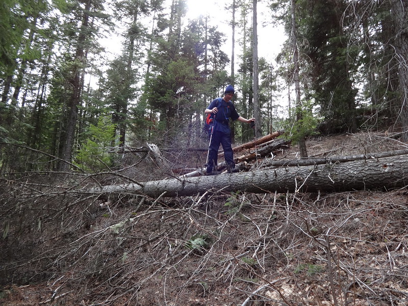
The Casual Pretend-I'm-Not-Looking Selfie:
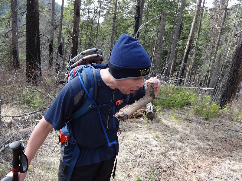
Chris also discovered a deer leg and was so ravenous he started eating it. We found part of the rest of the deer soon afterward, but there is no need to share those pictures. Needless to say, it looked like it had been gnawed on recently.
Chris Eating a Deer Leg:
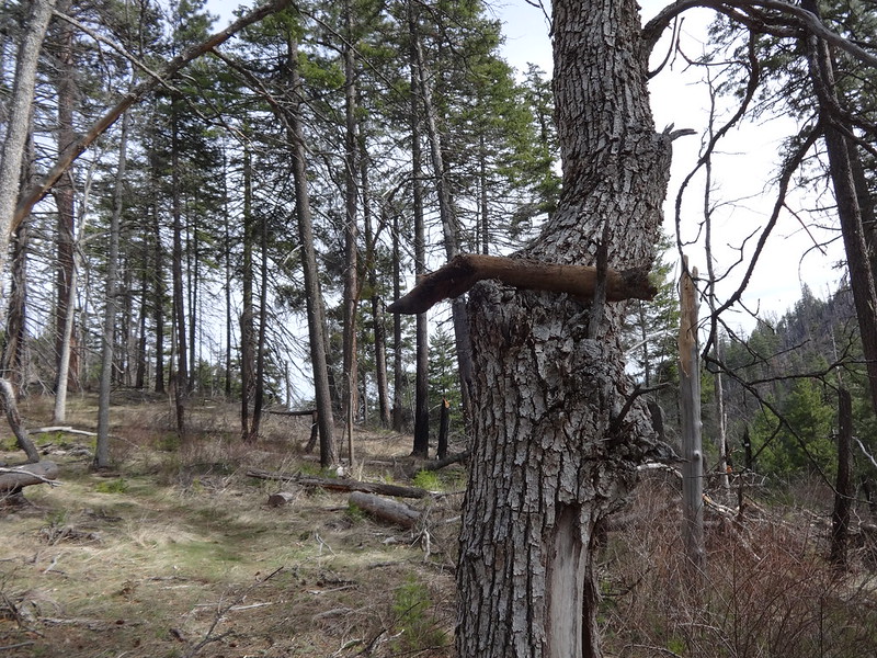
The Other Leg Was Pointing the Way:
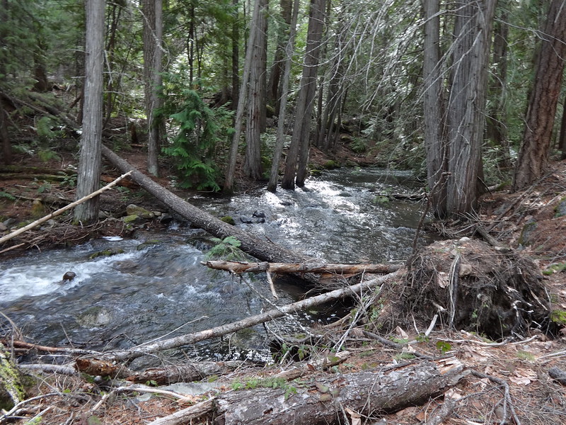
Little Badger Creek:
Tracks in Google Earth:
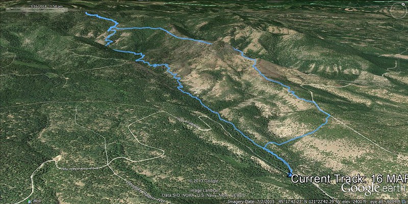
Tracks in NatGeo Topo:

Other comments:
• Mileage: GPS Trip Computer 14.2 Miles / GPS Fly 13.03.
• Elevation Gain: GPS Trip Computer 3512' / GPS Fly 3059'.
• Two hour drive time, both ways from 82nd and Sandy.
• There were lots of blow-down on the trails. We had to climb over, around and under it 40-50 times.
• This hike was a perfect example of demonstrating how snow coverage differs in southern and northern facing slopes, as well as in a canyon. The higher up south facing School Canyon Trail had no snow, except for a small north facing stretch behind Ball Point, while the much lower area of the Little Badger Creek down in the canyon had some patches.
• The Little Badger Creek Trail on my GPS and National Geographic Top showed the trail following right next to the creek most of the way and even crossing it several times. It never did cross it and only follows next to it for one and a half miles at the start.
Here is a link to all the pictures on Flickr.
Here is a link to the GPS tracks.
Hike on Man,
Brad


