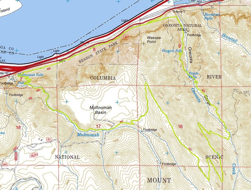
Our route highlighted on the Forest Service topo map.
Seems like it was a pretty popular area this weekend, but we only saw a dozen people, and none between Triple Falls and the Multnomah Basin.
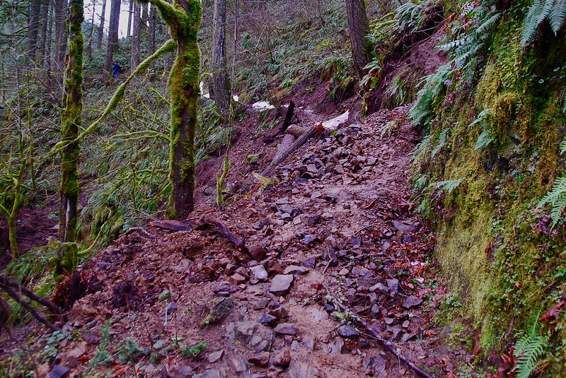
Small washout on the way to Triple Falls.
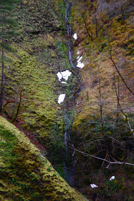
Looking across Oneonta Creek at a small feeder stream / waterfall.
De rigueur Triple Falls picture.
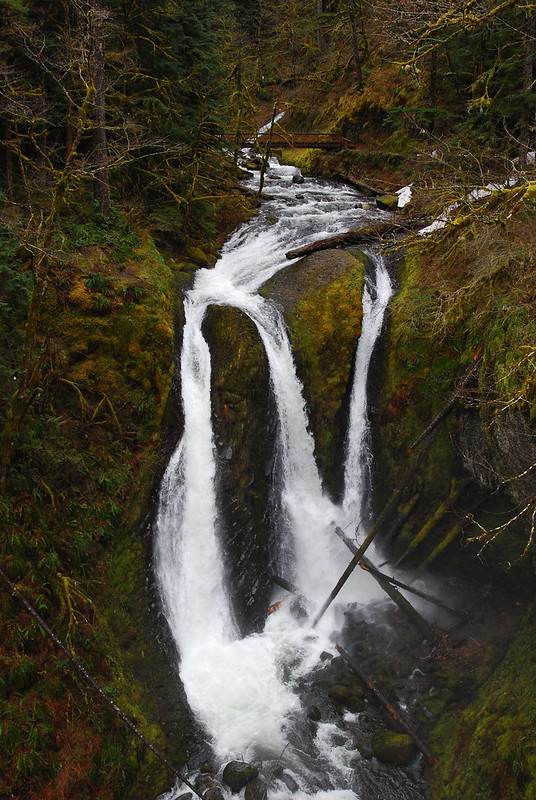
The creek wasn't raging as hard as it apparently was on Sunday, but it was still pretty impressive.
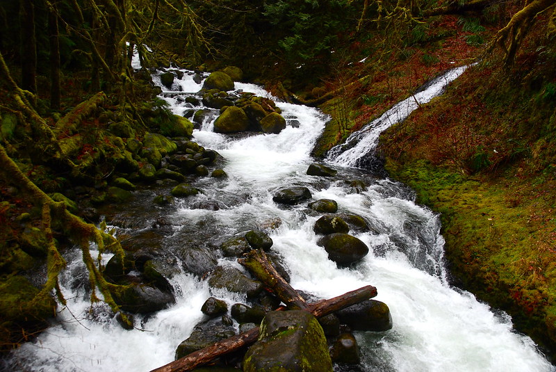
One of many, many feeder creeks.
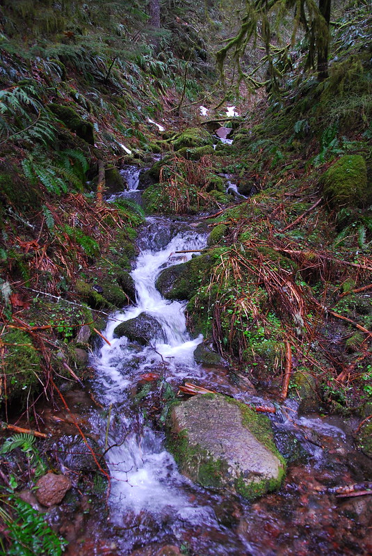
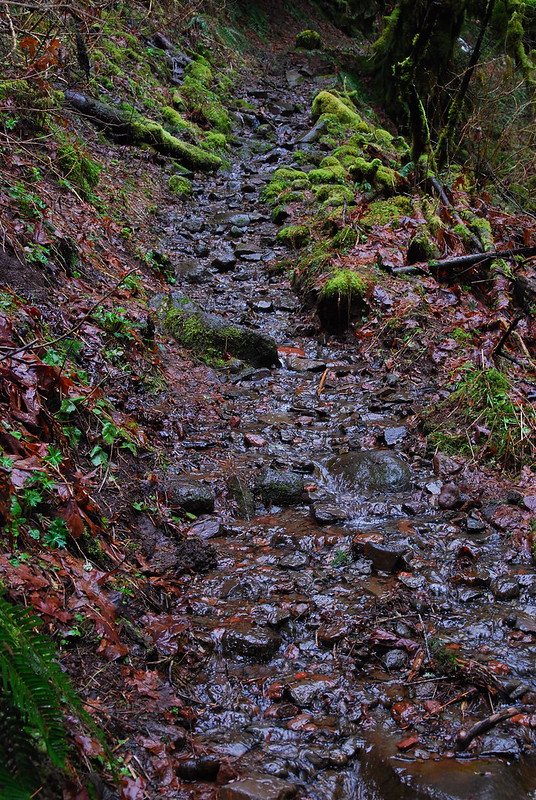
Sometimes, the trail became a creek.
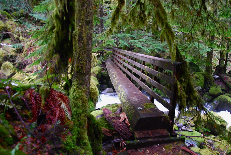
Crossing Oneonta Creek on the way up to Franklin Ridge. I just love this sort of bridge - and not just because it keeps us from having to ford.
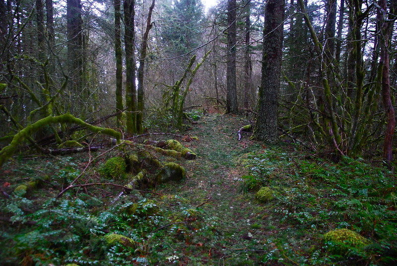
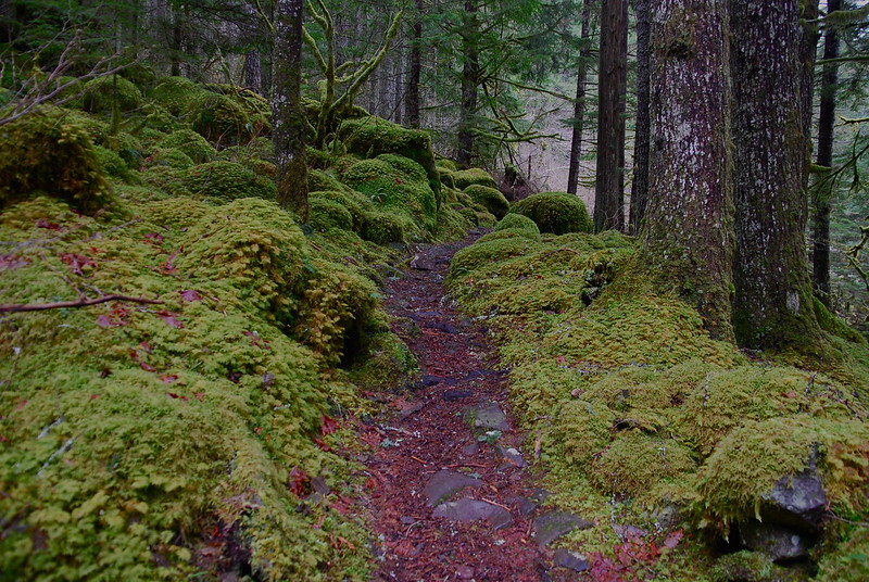
After the crossing, the moss just gets incredible. It's almost like a well-tended garden.

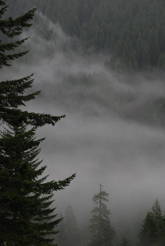
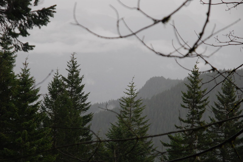
Getting toward the top of the ridge, the rain clouds started moving in pretty quickly.
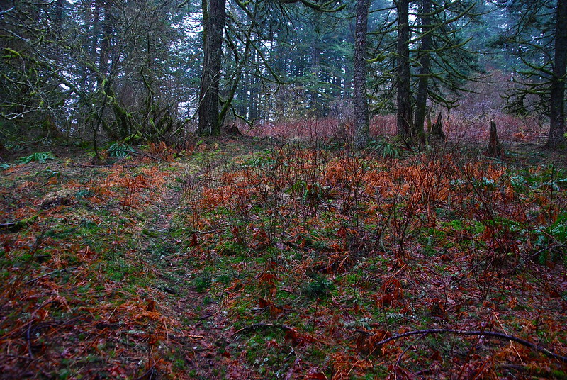
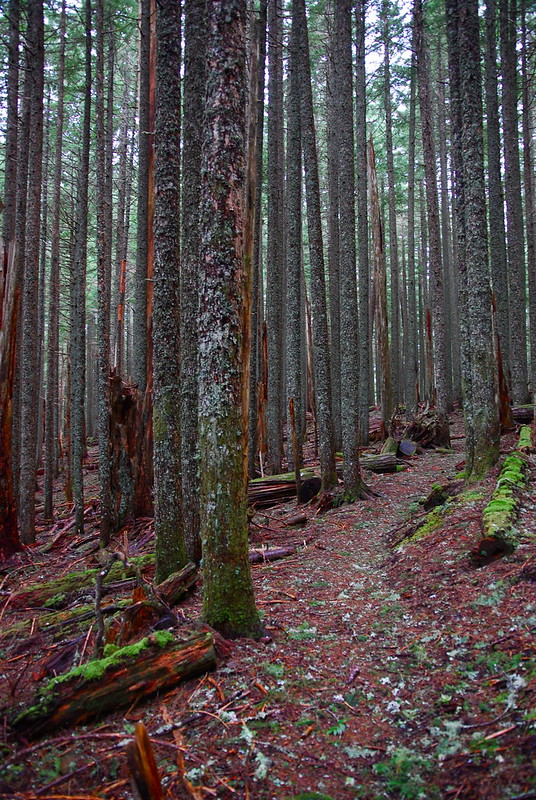
On top of Franklin Ridge. I love how straight all the trees are, and how eerie the whole thing feels.
Looks like the trees have a rough time up there.
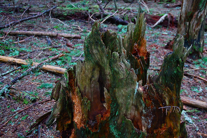
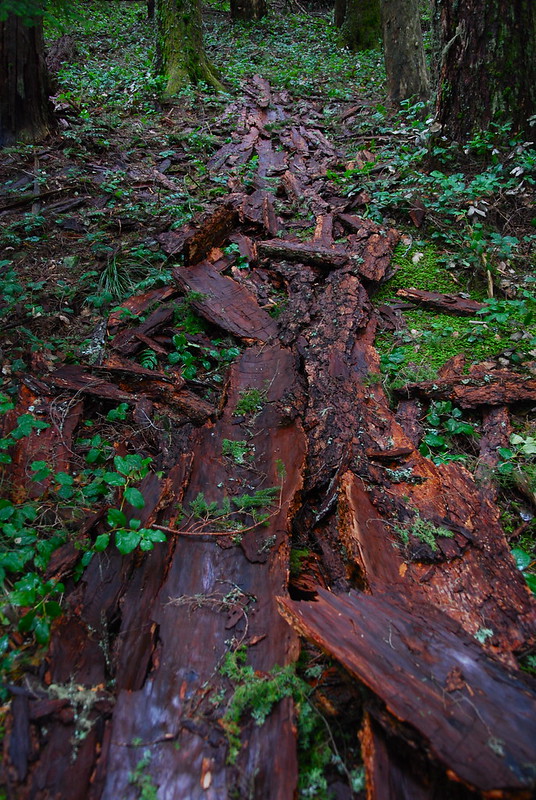
Not sure what happened here - a tree seems to have shed all its bark, all at once. Lightning?
And then: rain. Lots of rain. Things were a little too wet to get any good pictures on the way down, and it was just several soggy miles back down to the car.