
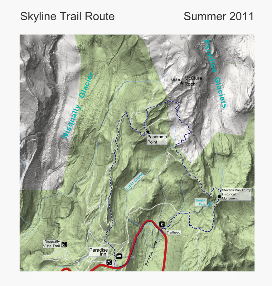
The Skyline Trail features Mount Rainier, wildflower meadows, glaciers, panoramic views, and wildlife.
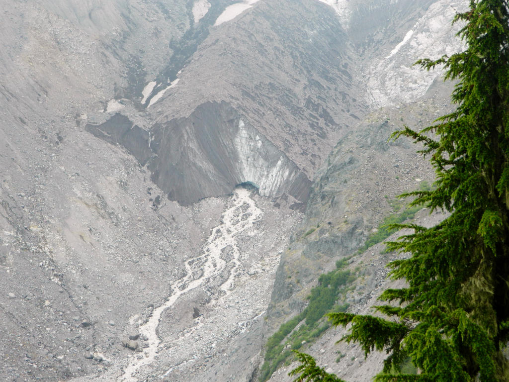
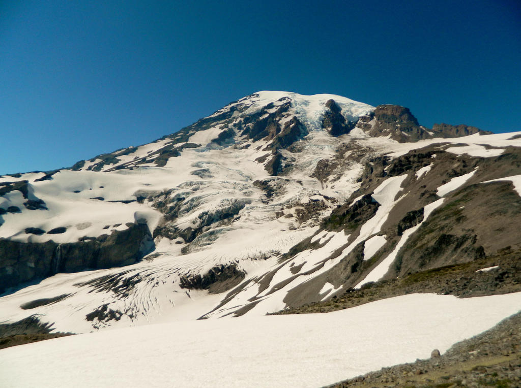
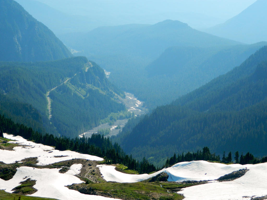
Just a day before, we took some friends and a toddler on the Nisqually Vista Interpretive Trail, which gave us a cool view towards the massive Nisqually Glacier and the headwaters of the Nisqually River gushing out from underneath the glacier.
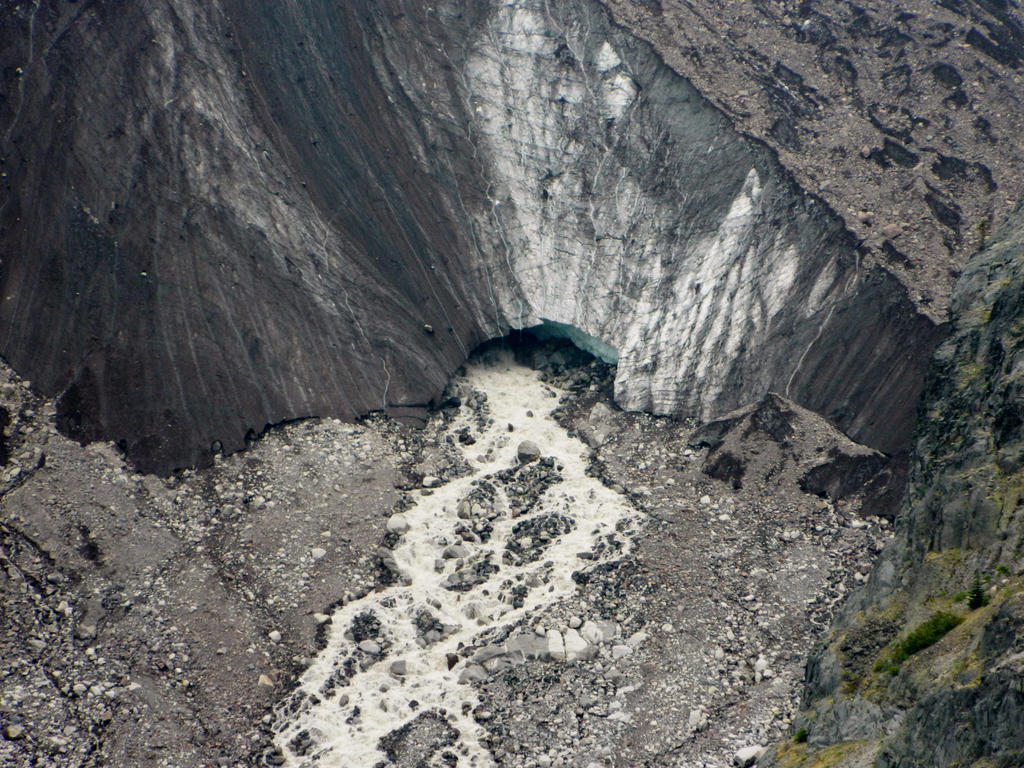
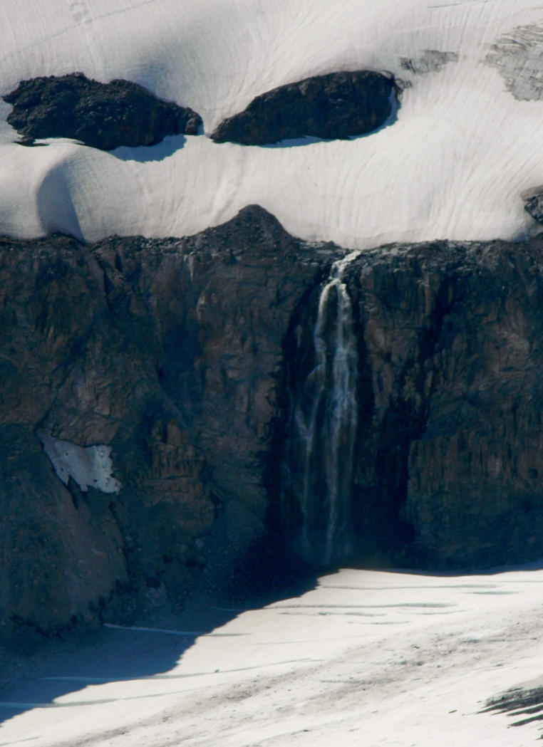
The Nisqually River gushes out of the glacier.
Close up view of the river flowing out of the glacial cave:
The Skyline Trail. We started at a shortcut trail off of the U curve in the Paradise Valley Road.
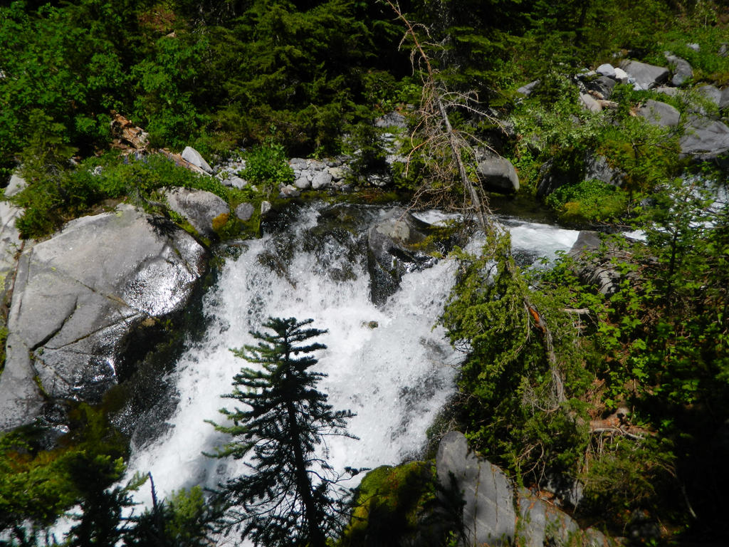
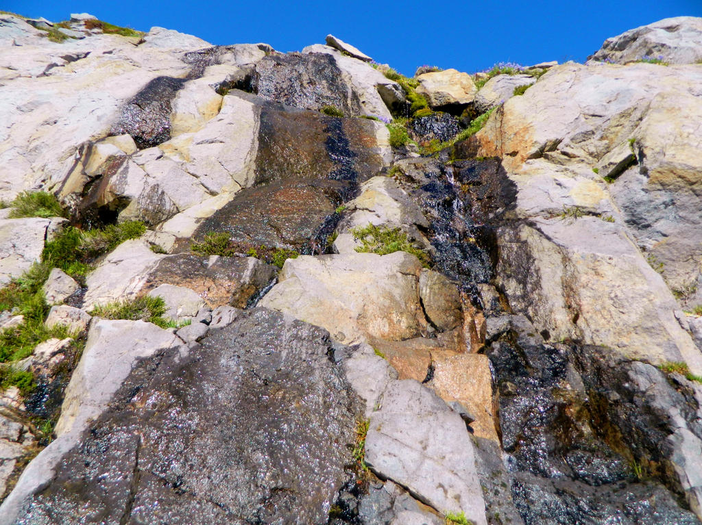
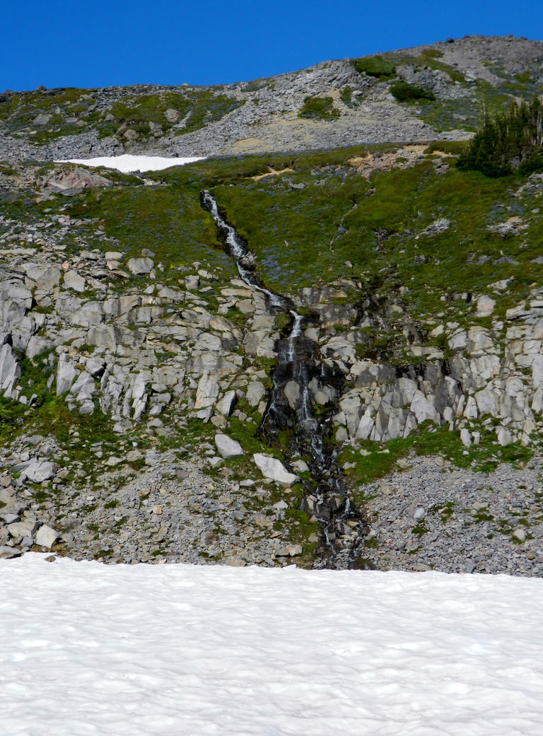
Waterfall we found within the first couple of feet.
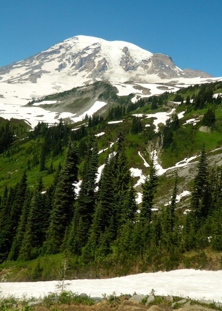
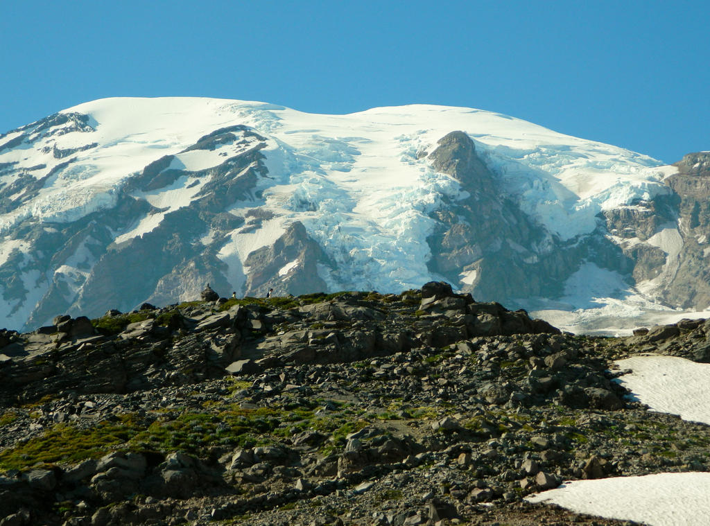
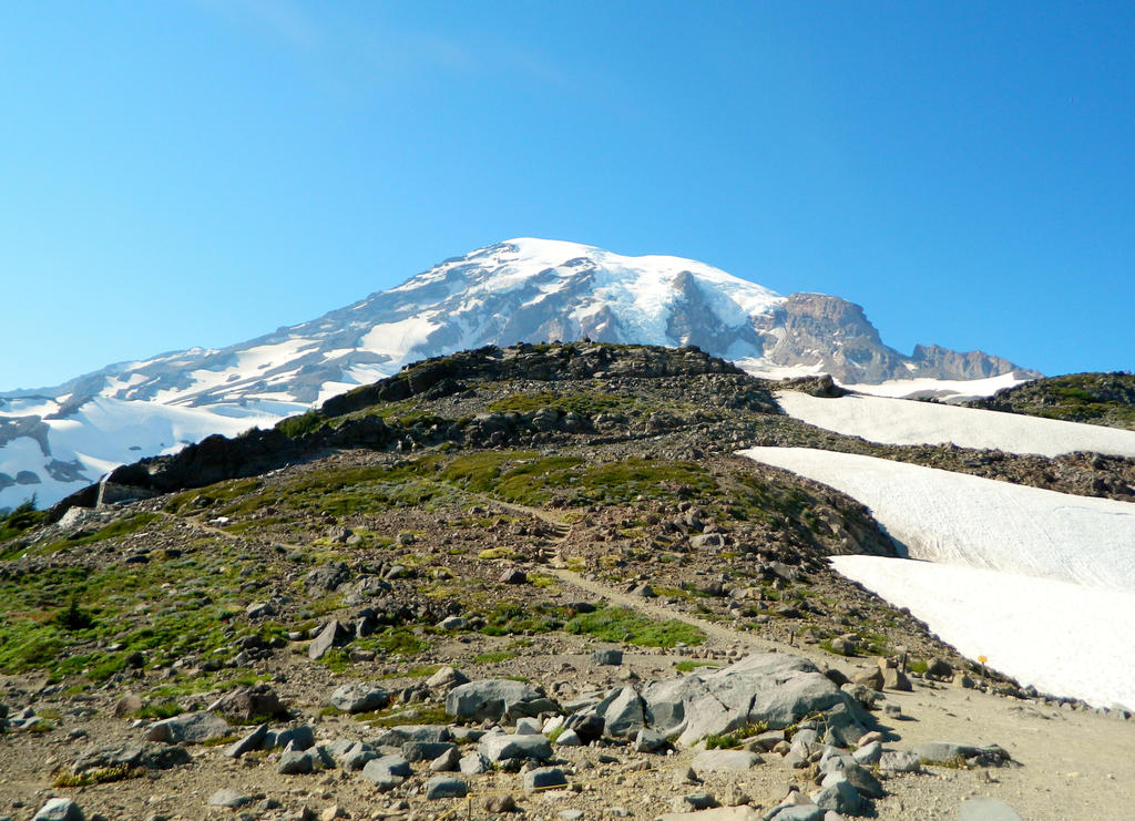
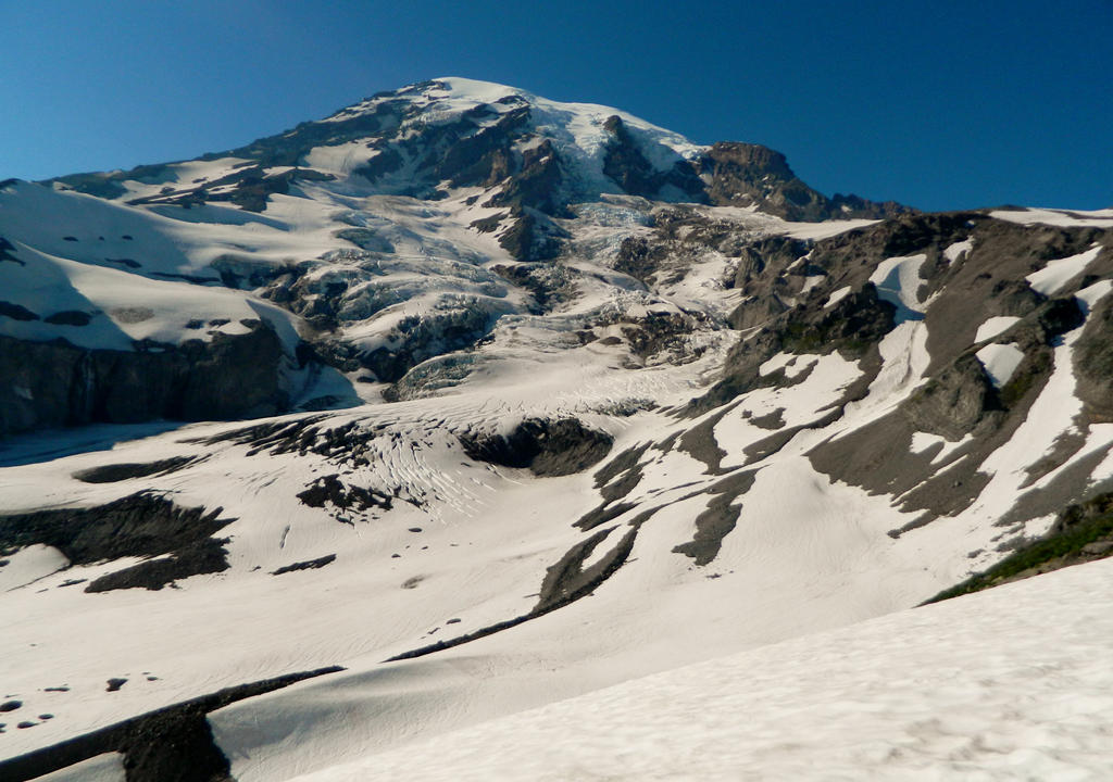
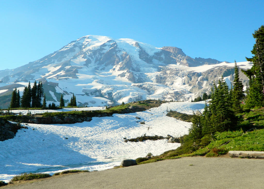
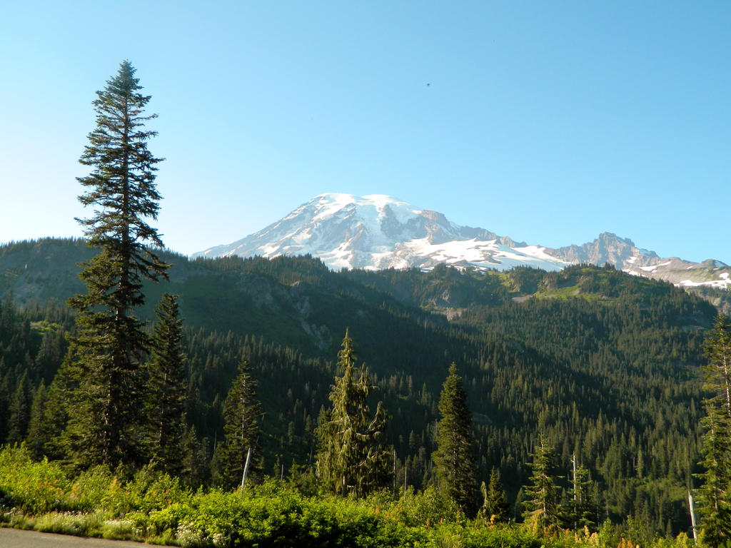
View of Mount Rainier
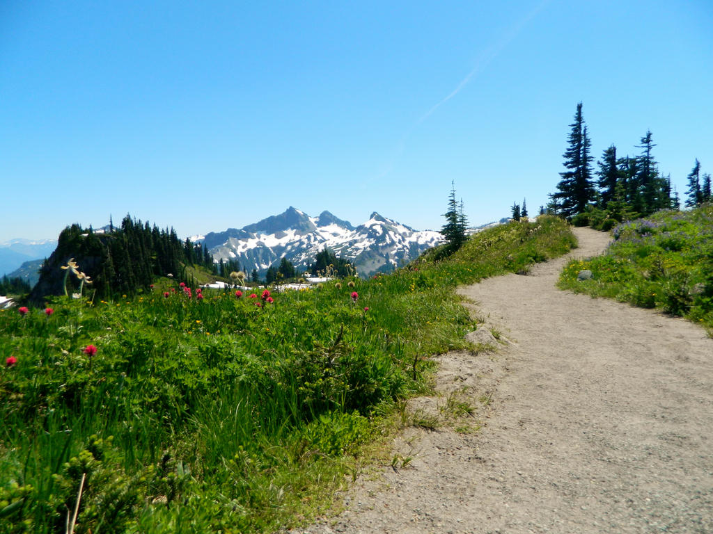
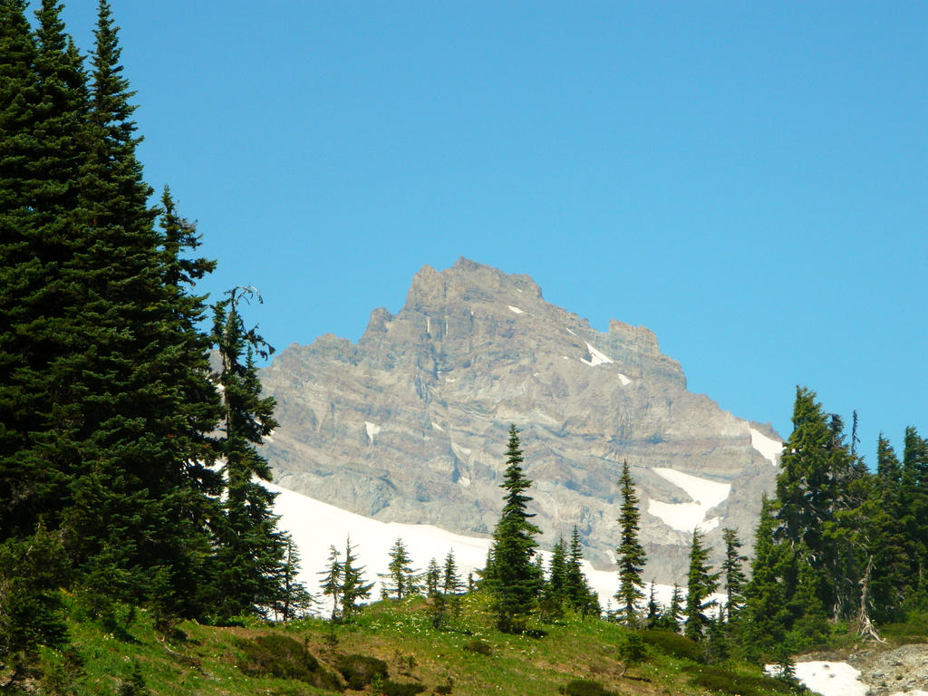
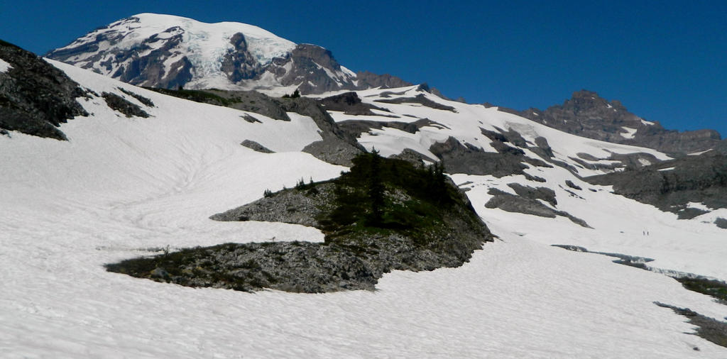
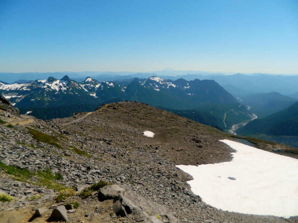
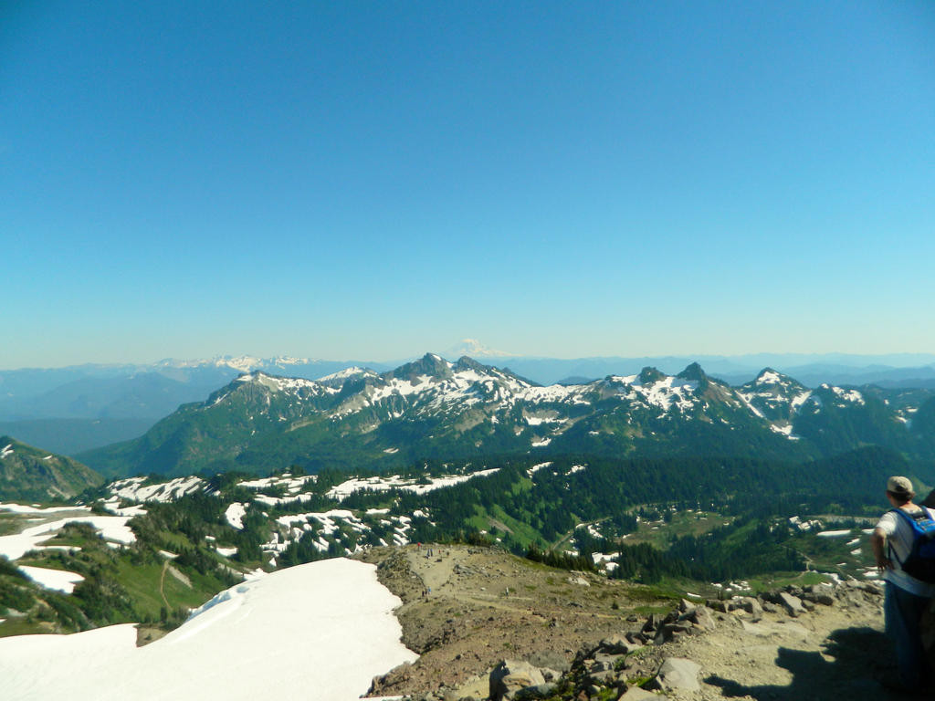
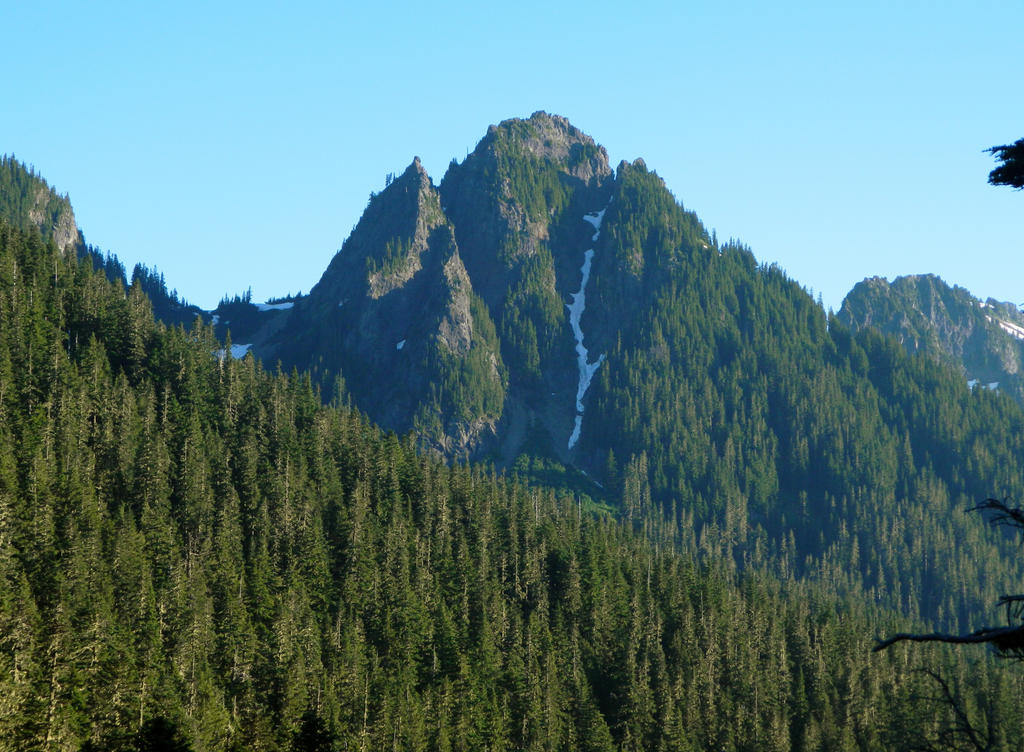
At about 0.8 miles, we looked behind us towards the rugged Tatoosh Range, merely a footnote below Mount Rainier.
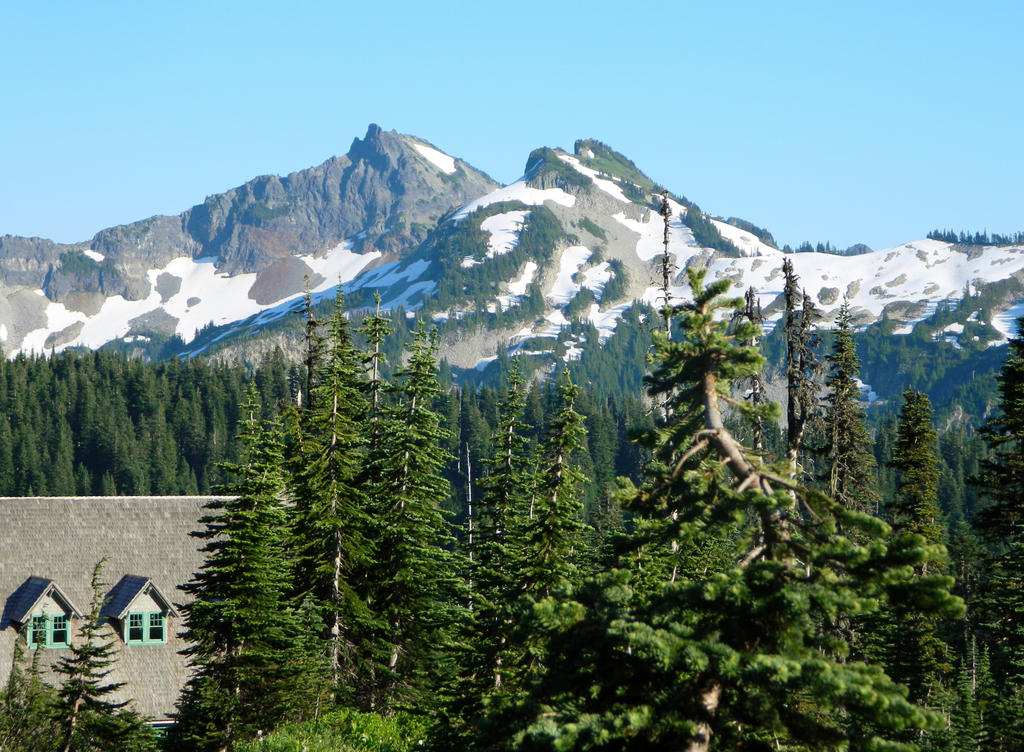
Unicorn Peak, standing at 6971 feet, is the highest peak in the Tatoosh Range.
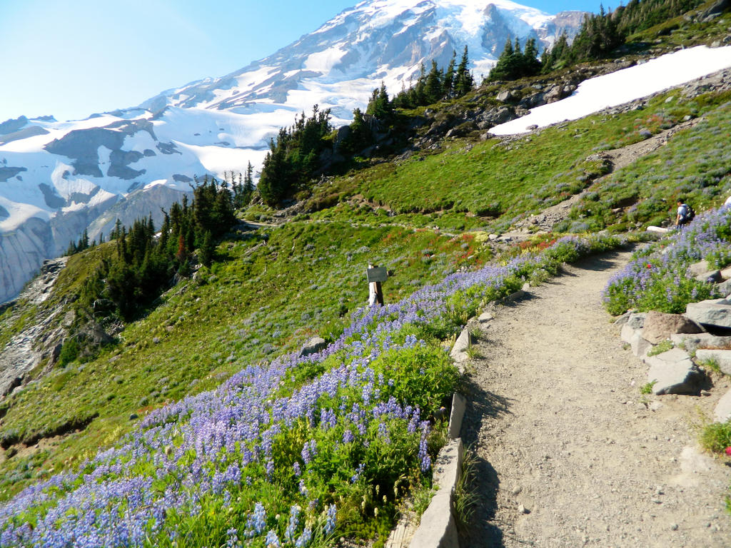
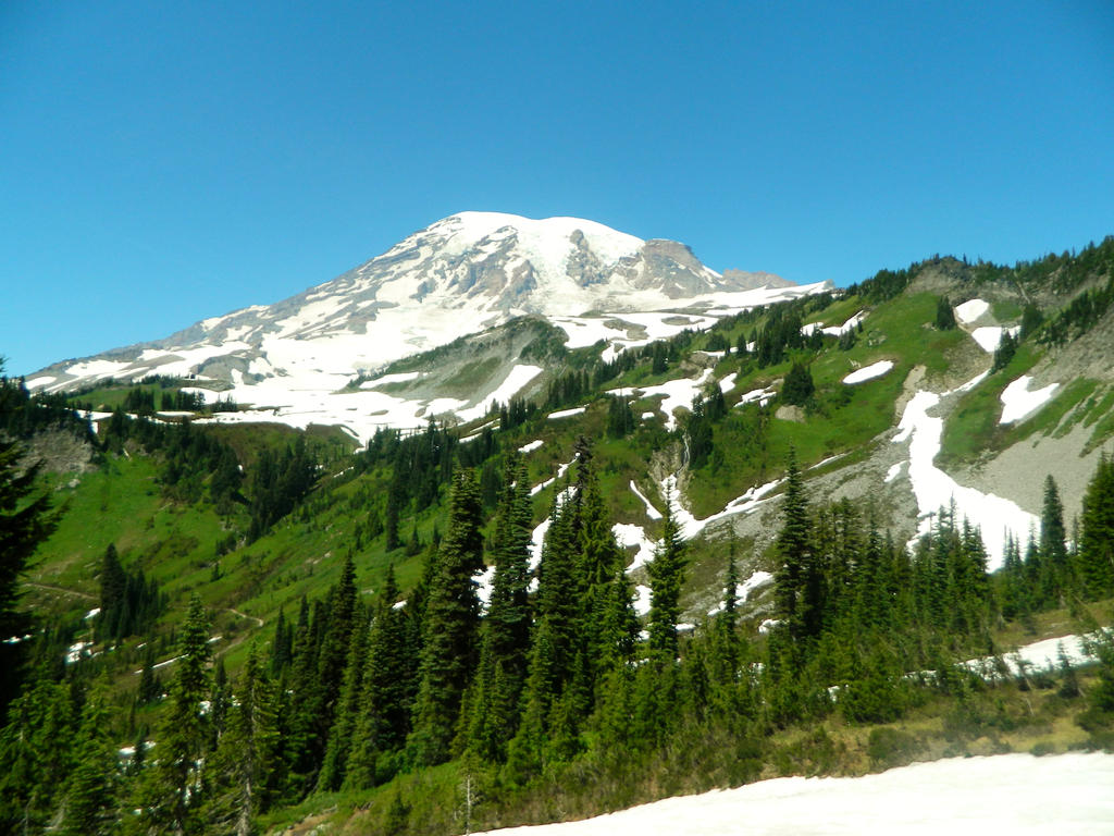
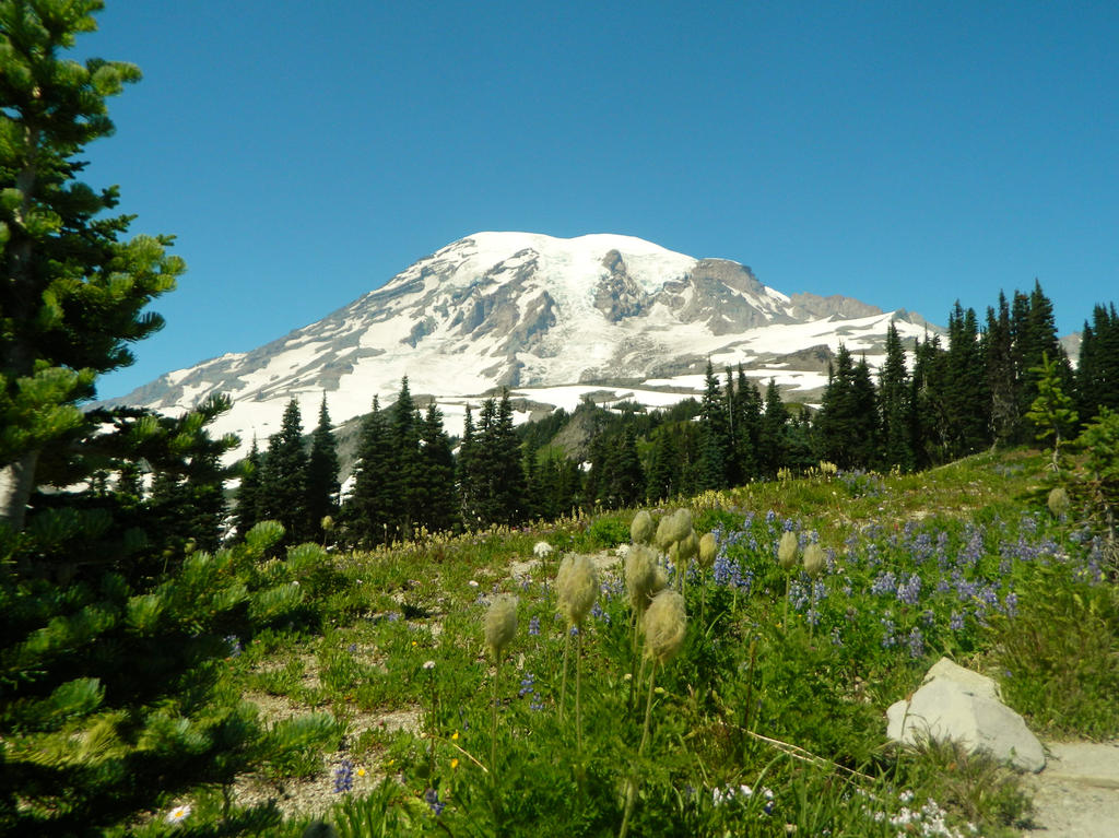
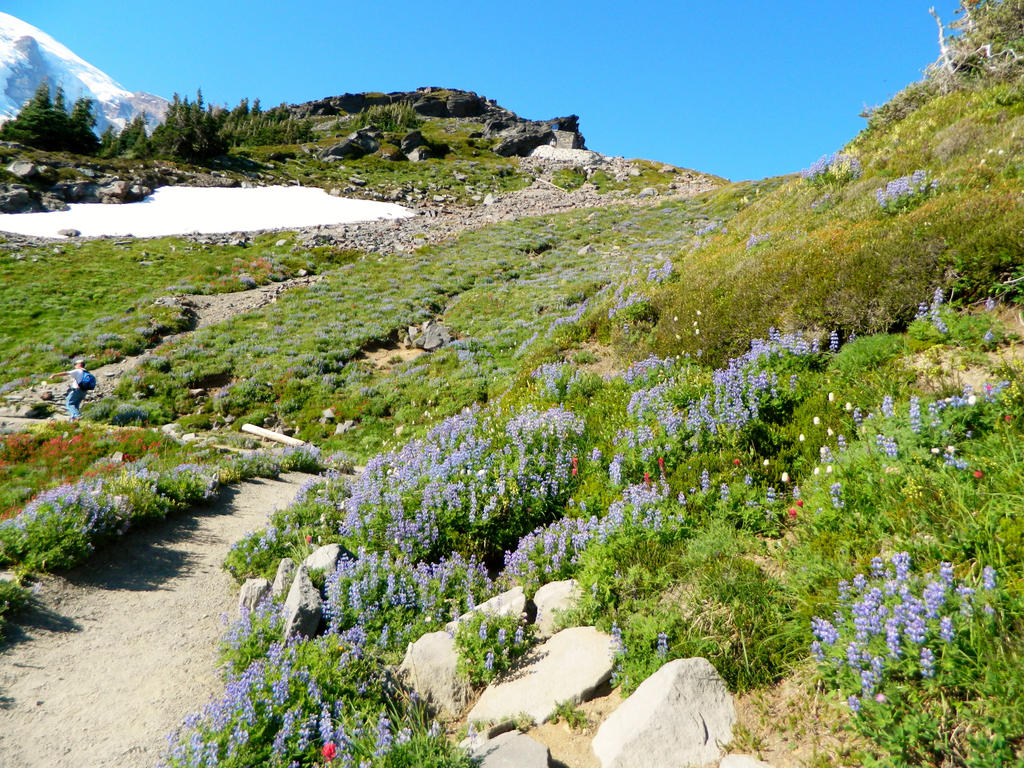
Grand Mount Rainier above Lupines and Beargrass.
As we ventured higher, the Tatooshs started to recede behind the foreground behind us.
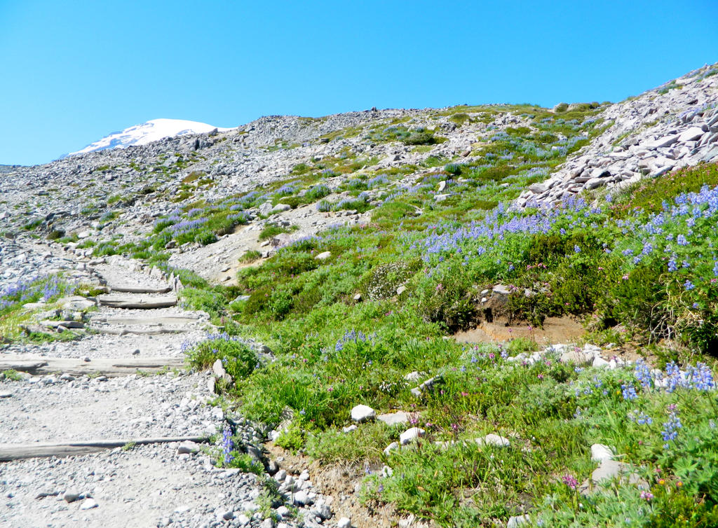
Wildflowers characterized this section of trail, at the 6,000 foot level. Almost to the Stevens Van Trump Historical Monument.
Little Tahoma Peak, a defining peak on Mount Rainier's east shoulder, dominating our view as the trees obscured Mount Rainier from us. Its amazing to think just how BIG Mount Rainier is, and how all you have to do is imagine Mount Hood in Little Tahoma's place to realize just how massive this mountain is! (Little Tahoma is just about a hundred feet lower than Hood, and resembles Hood in its similar "pointy" top. It just blows me away at every view I get.
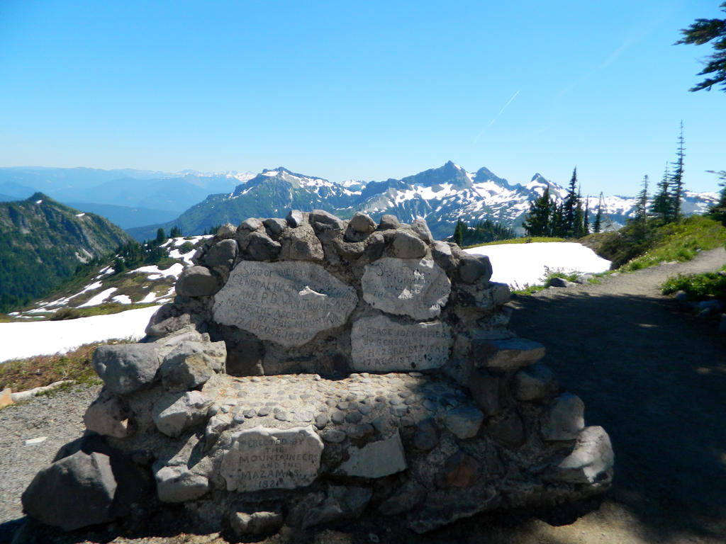
Reached the Van Trump Historical Monument, at 1.1 miles (6,000 feet).
Mount Rainier pops back into view, as we round the corner. View across the Edith Creek Valley, towards Panorama Point on the other side.
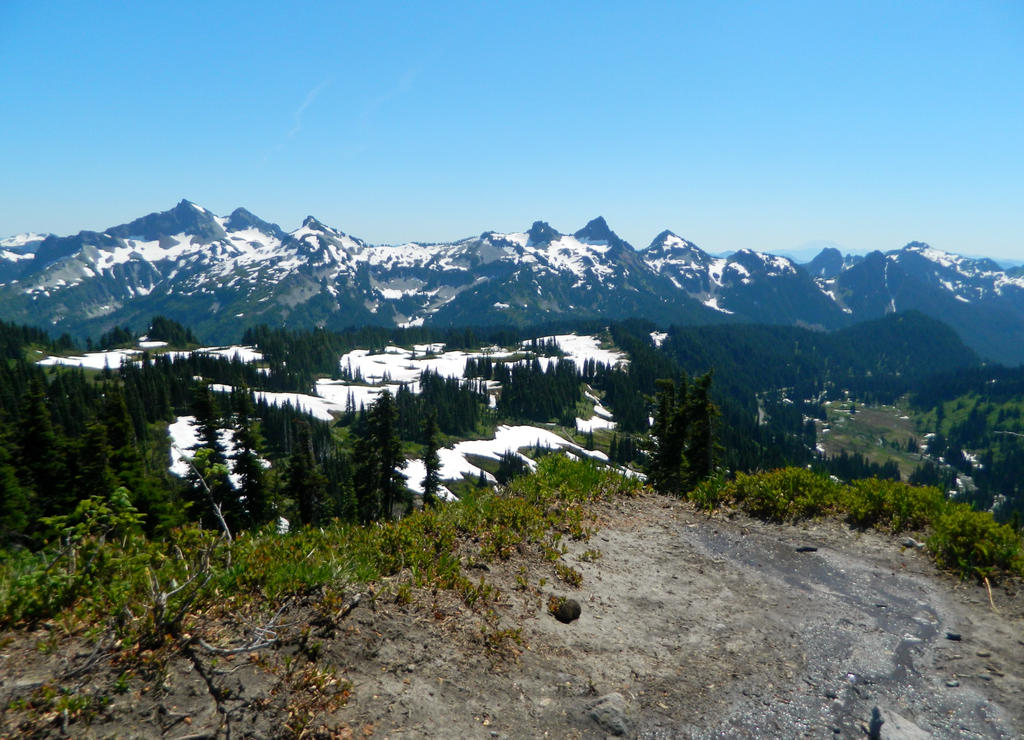
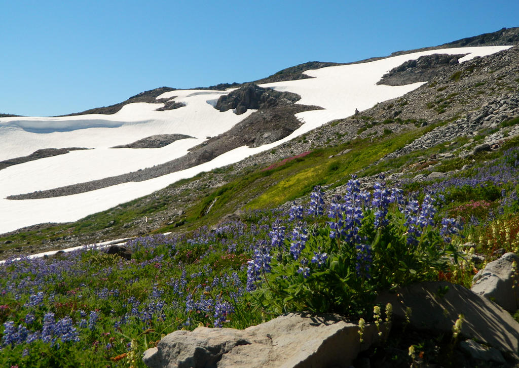
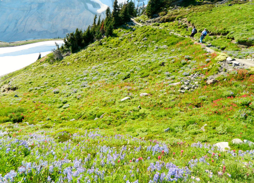
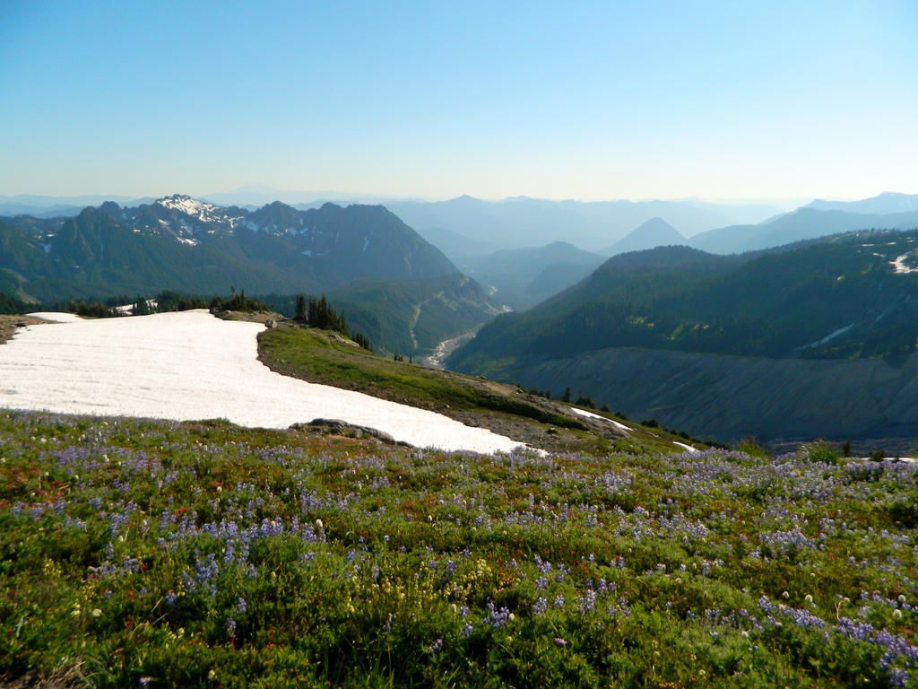
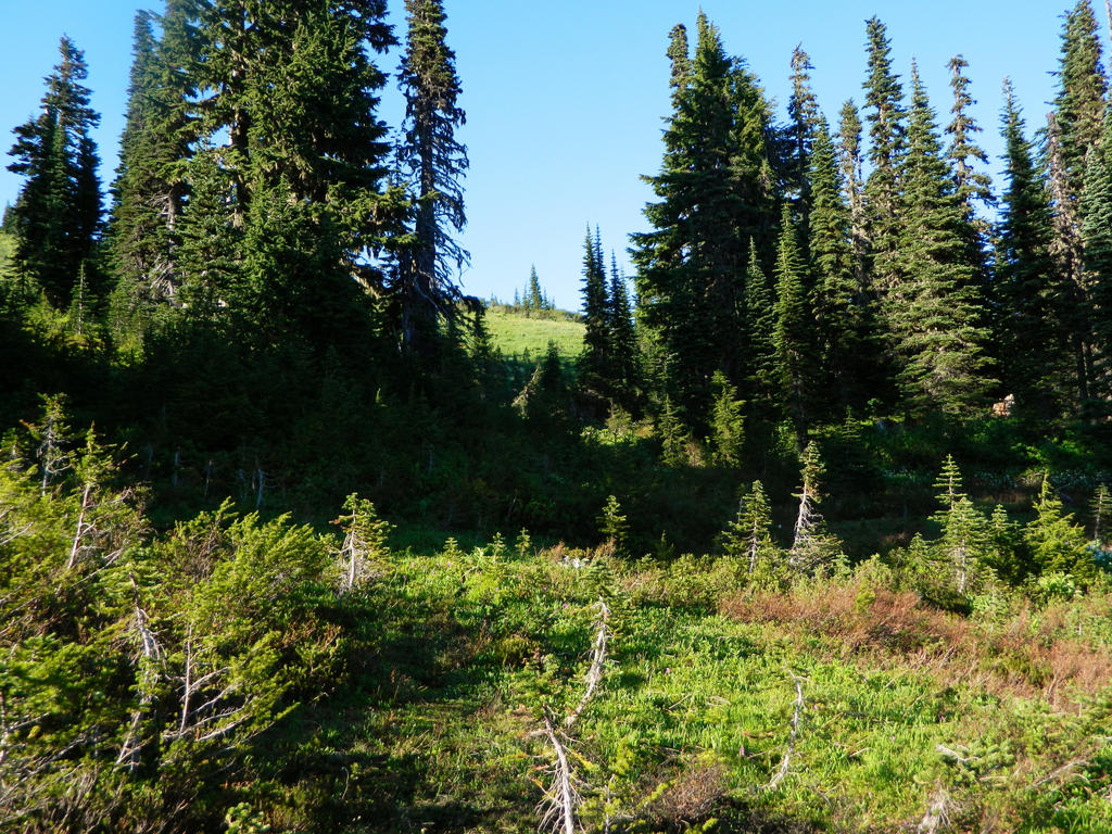
At around the Golden Gate Trail junction at 1.7 miles, we passed through numerous lush high alpine meadows.
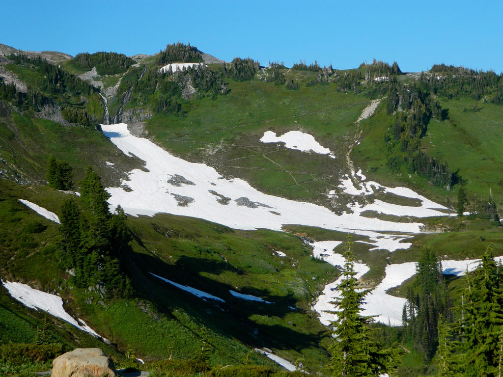
View across the snowy valley again.
The views just got better and better!
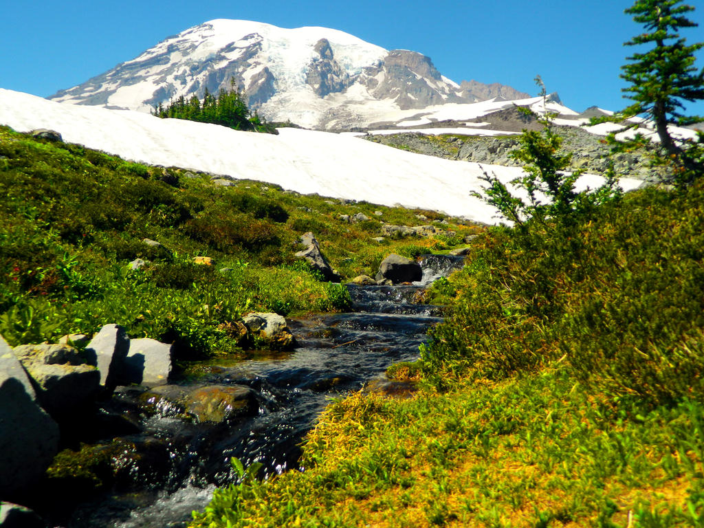
Pretty creek flowing in the meadows below Rainier.
Climbing higher yet. Rainier peaks above the ridge above us.
An avalanche tumbled off of the Paradise Glacier! We saw it just in time to get the tail end of it---the disturbed ice dust.
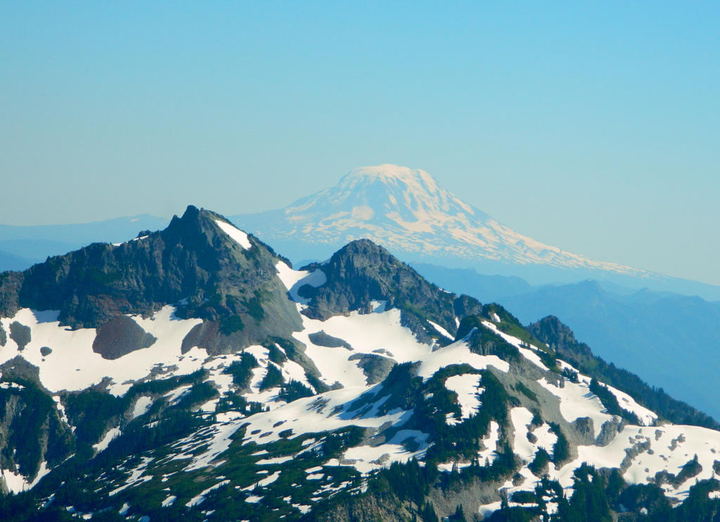
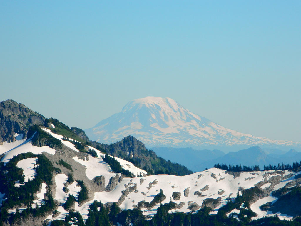
Mount Adams is hiding behind Unicorn Peak!
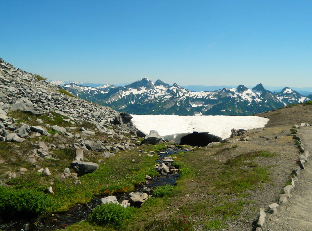
A creek goes under a snow cave!
Continuing our ascent up the east side of the upper Edith Creek Valley.
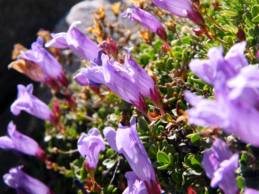
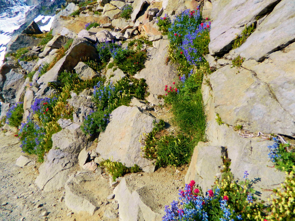
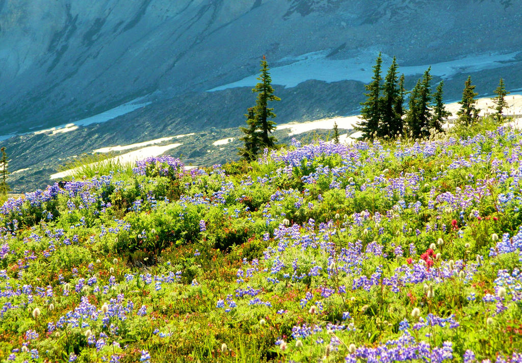
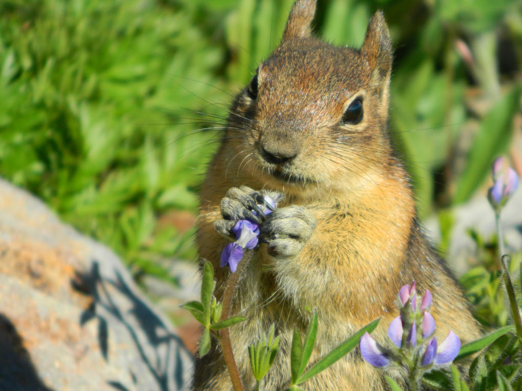
Wildflowers lined the trail! Mostly lupines, one of my favorites.
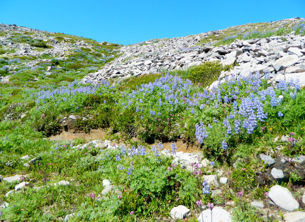
Icy tundra scene, speckled with beautiful lupines.
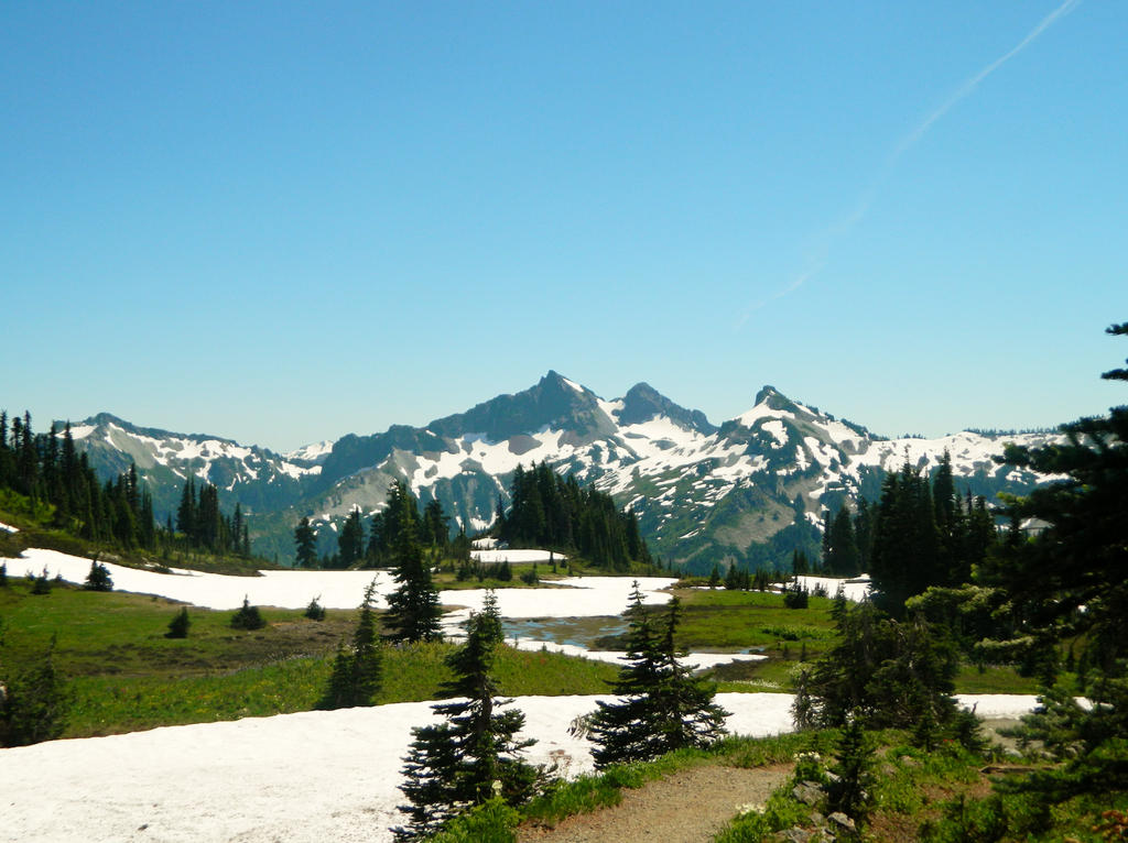
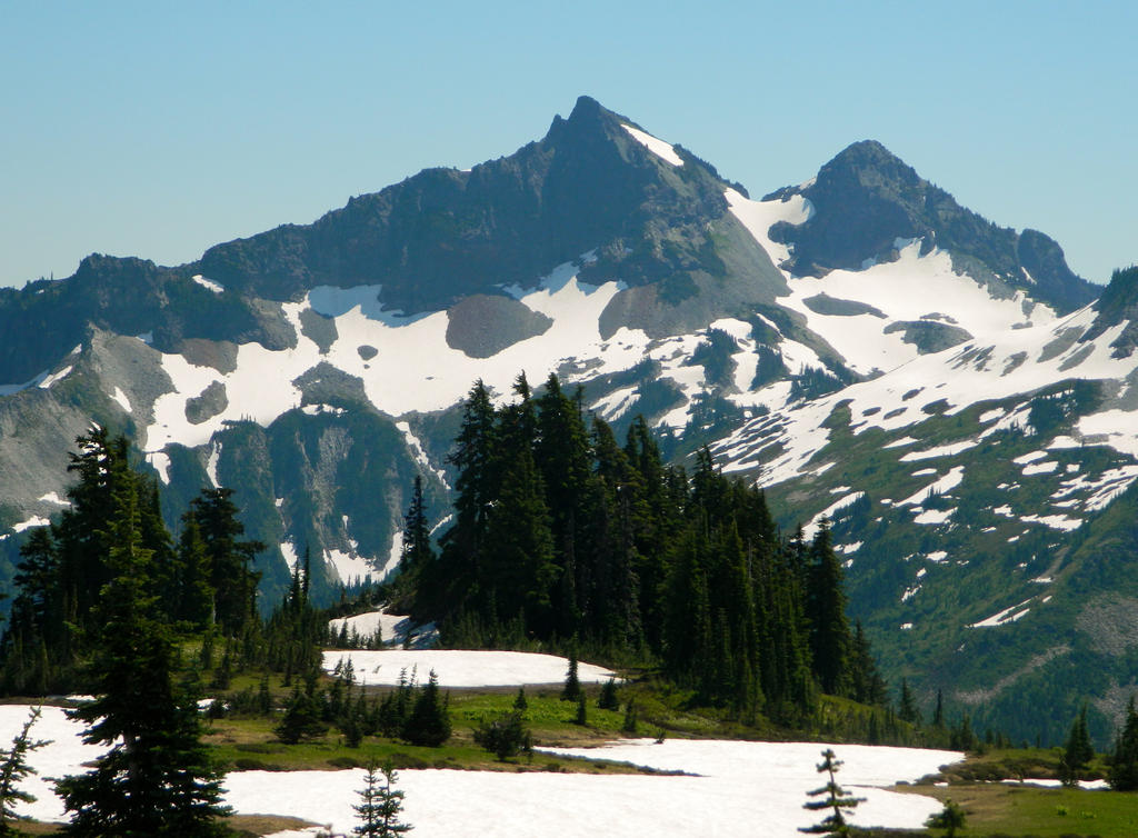
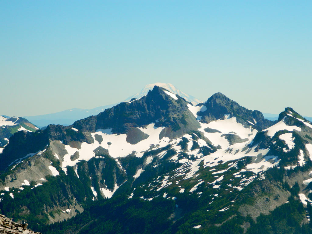
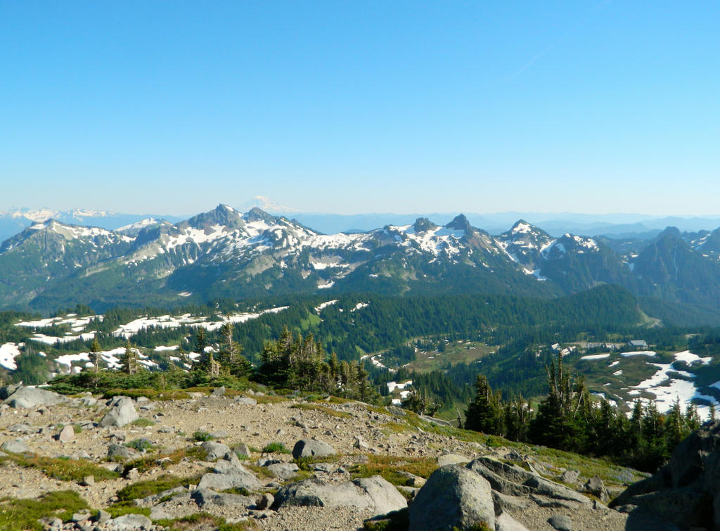
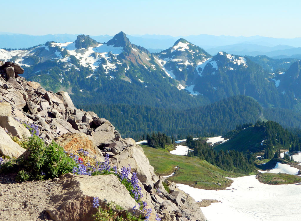
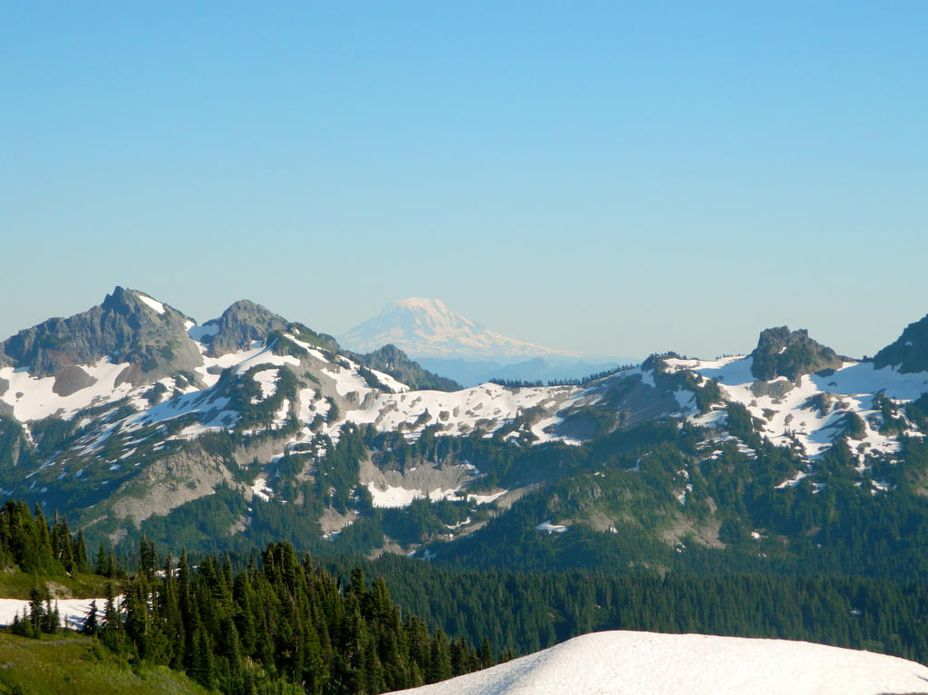
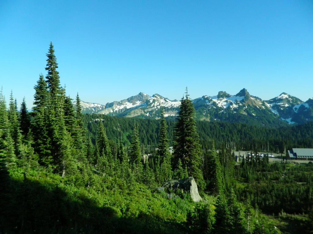
We climbed even higher, and got this view of the Tatoosh Range, the Goat Rocks, Mount Adams, and St, Helens just outside of the picture.
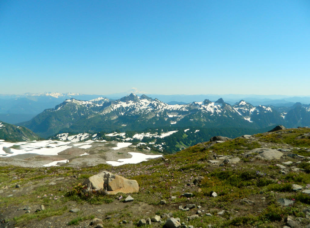
Mount Adams, my all time favorite mountain, looms out over the Tatoosh Range and the South Cascades of Washington State.
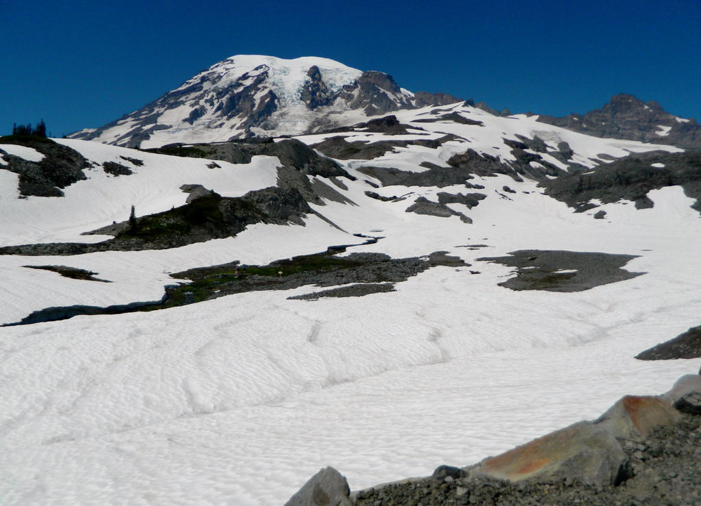
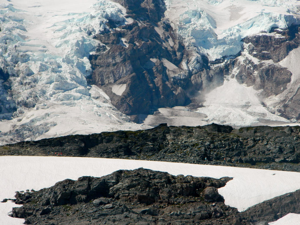
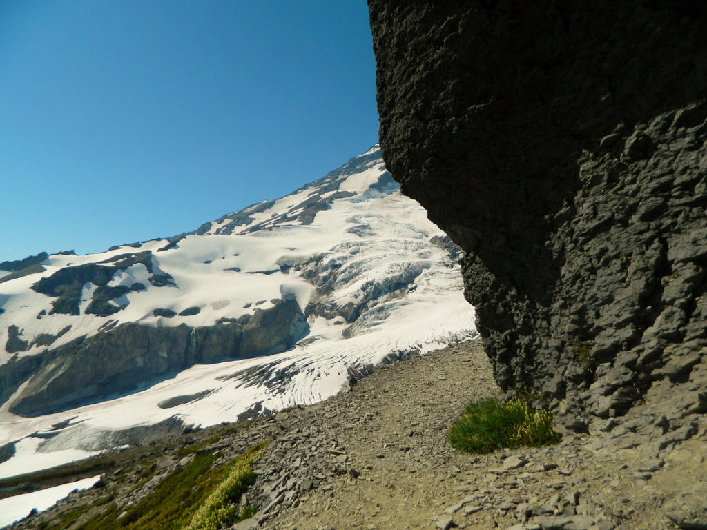
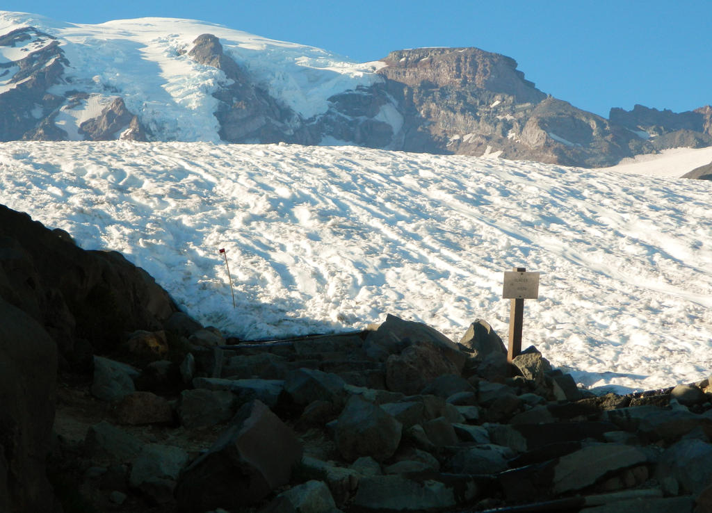
We took the upper route, below McClure Rock (7,385 ft.), which is the high point of the Skyline Trail at about 7,000 feet elevation. The Nisqually Glacier winds its way down the side of Mount Rainier above and below us. So far, we hiked 2.2 miles.
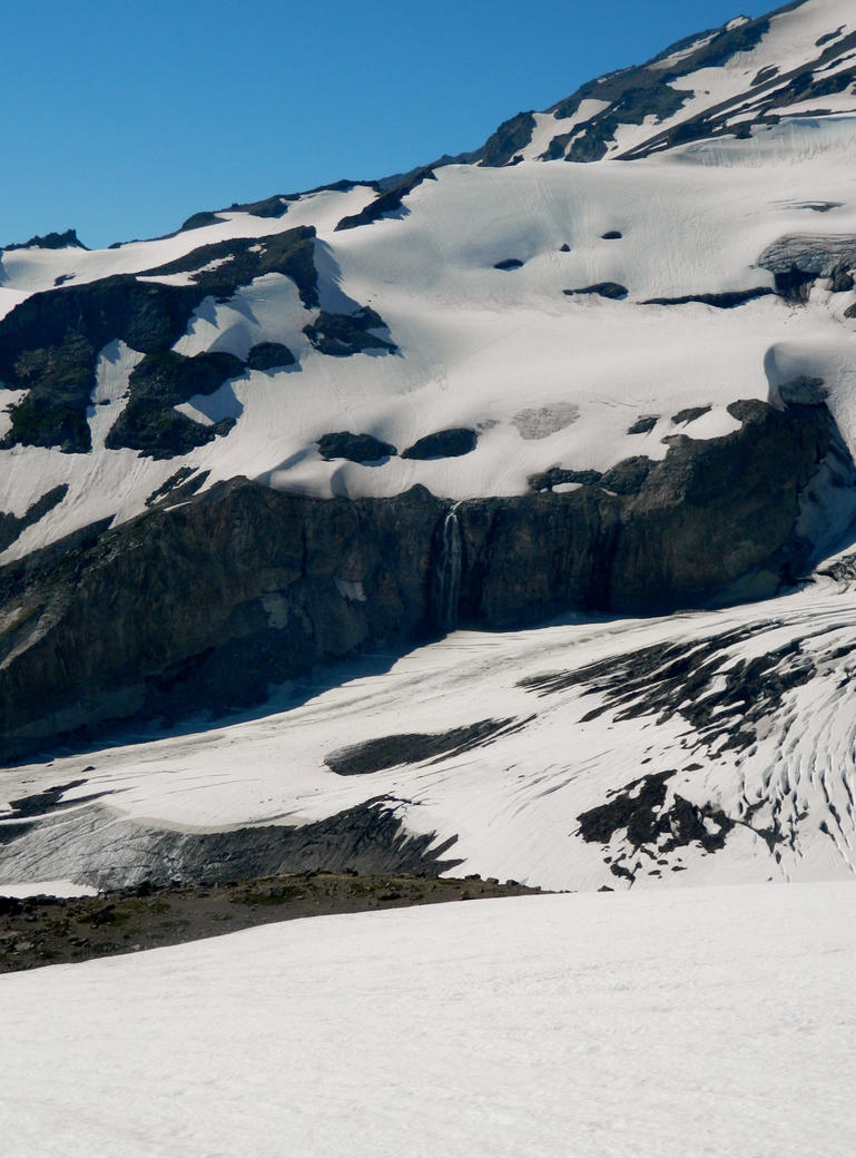
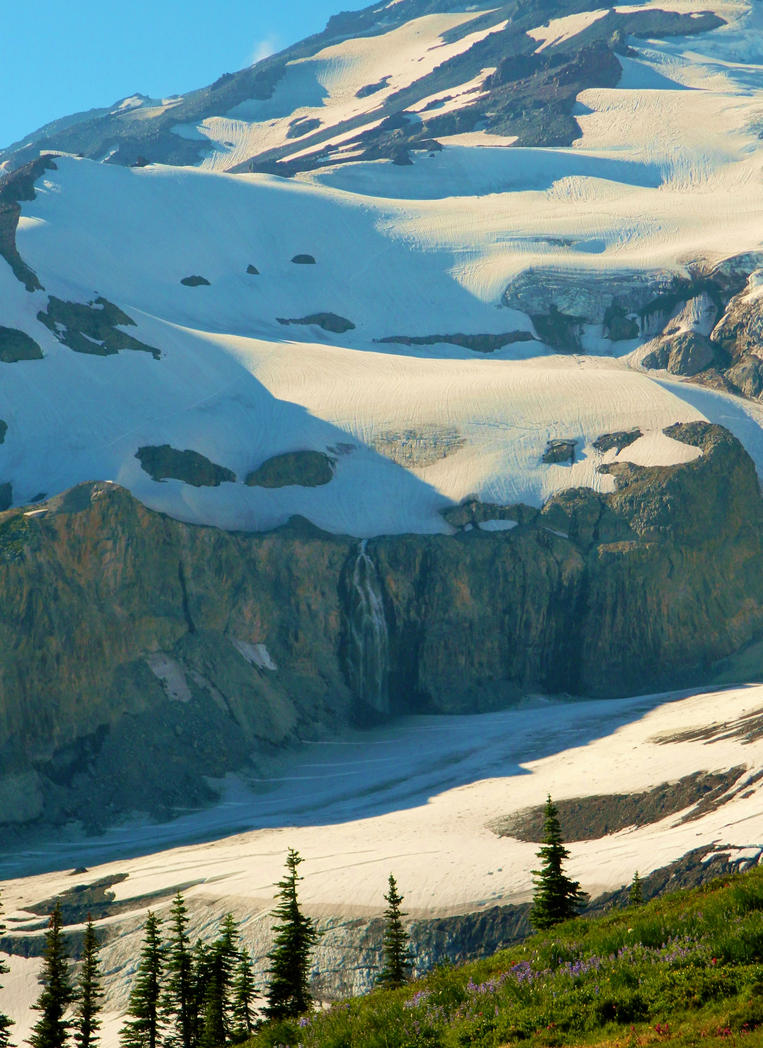
A cool waterfall falling off of the Wilson Glacier into the Nisqually Glacier.
The waterfall from further away (zoomed out a bit):
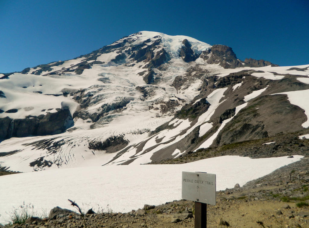
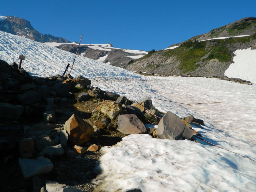
Pebble Creek Trail junction, at exactly 2.2 miles. Climbers heading up to Camp Muir and the summit crater take this trail. We would have hiked it, but time was getting short and we had dinner to cook back at the campsite.
View down from the Pebble Creek junction towards Nisqually River valley, Mount St. Helens, and Mount Hood. With a combination of Hood being so small (not much width volume) and distant haze effect, my camera didn’t capture Hood in this photo.
As we started to descend down to Panorama Point (6,700 feet elevation), the trail cut through the rock in a series of switchbacks.
Almost to Panorama Point!
Rocky terrain speckled with spots of green, hardy plants.
View from Panorama Point, at about 6,700 feet elevation. Most hikers from Paradise make this spot their destination by hiking the westside portion of the Skyline Trail, and turn around here. It’s much longer to get here from the east, but there are much less crowds!
Yay Mount Adams! My favorite mountain! View from Panorama Point.
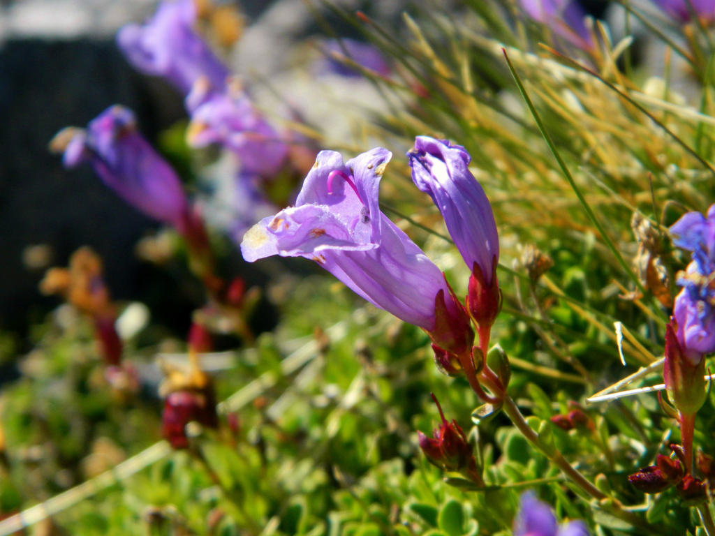
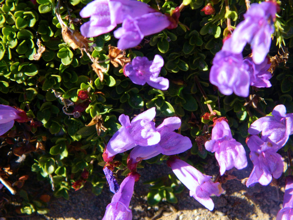
Some pretty wildflowers! I can’t remember their name, but if I heard it, I’ll probably remember it (I’m a gardener).
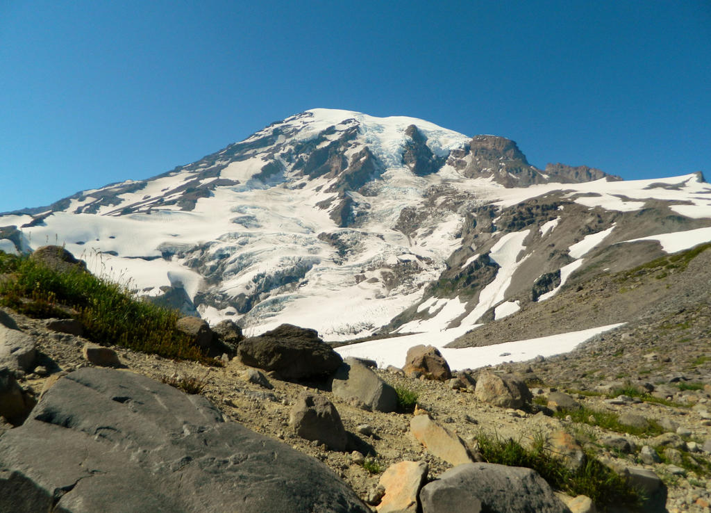
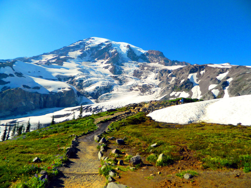
Mount Rainier looms above Panorama Point in all its snow-capped glory.
Stunning view straight down into the Nisqually Valley!
View down from Panorama. Below we could see the new visitor center, the historic Paradise Inn (Mt. Rainier’s own version of Timberline Lodge), the rugged peaks of the Tatooshs, the rocky crest of the Goat Rocks, and the snowcapped island of snow known as Mount Adams. We had our lunch on Panorama Point. What a great place for lunch, looking across the vast expanse of mountains and forested valleys!
Looking up to Mount Rainier from our lunch spot.
After lunch, we descended down the Skyline Trail, passing many beautiful meadows.
More amazing wildflower displays!
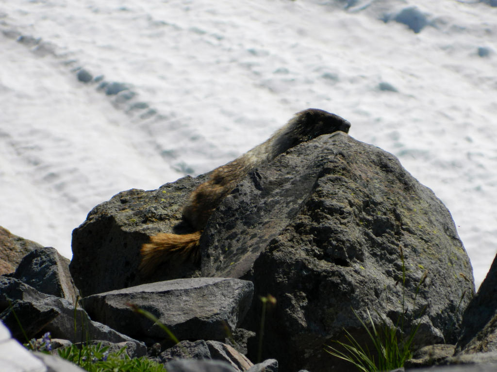
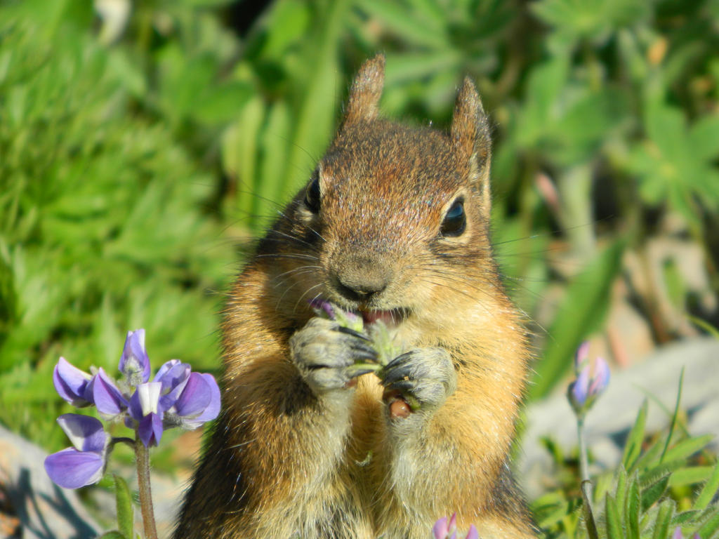
We spotted a marmot just a few feet away from the trail!
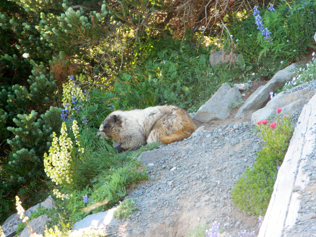
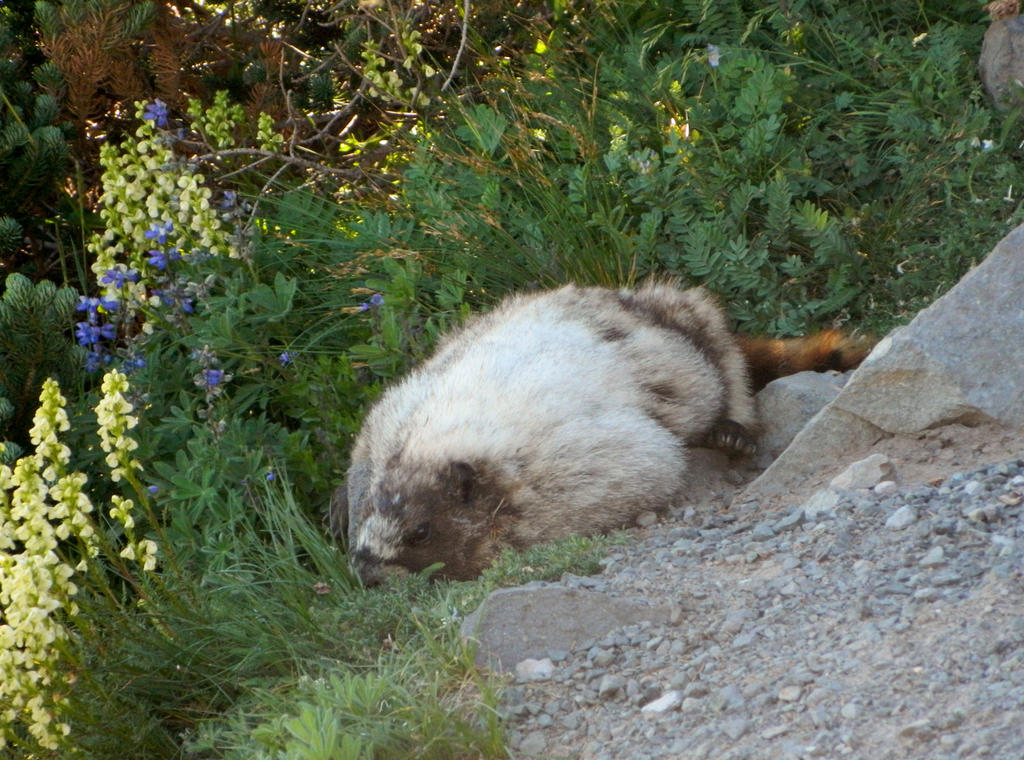
And just a few feet down from there as we rounded a corner, we spotted another one enjoying the sun’s (relative to this altitude) warmth on a rock.
View down the trail towards the tatooshs again. This is the same picture that I used previously as my profile picture.
Beautiful rock gardens along the way.
Cascading little waterfall amid a rock garden display!
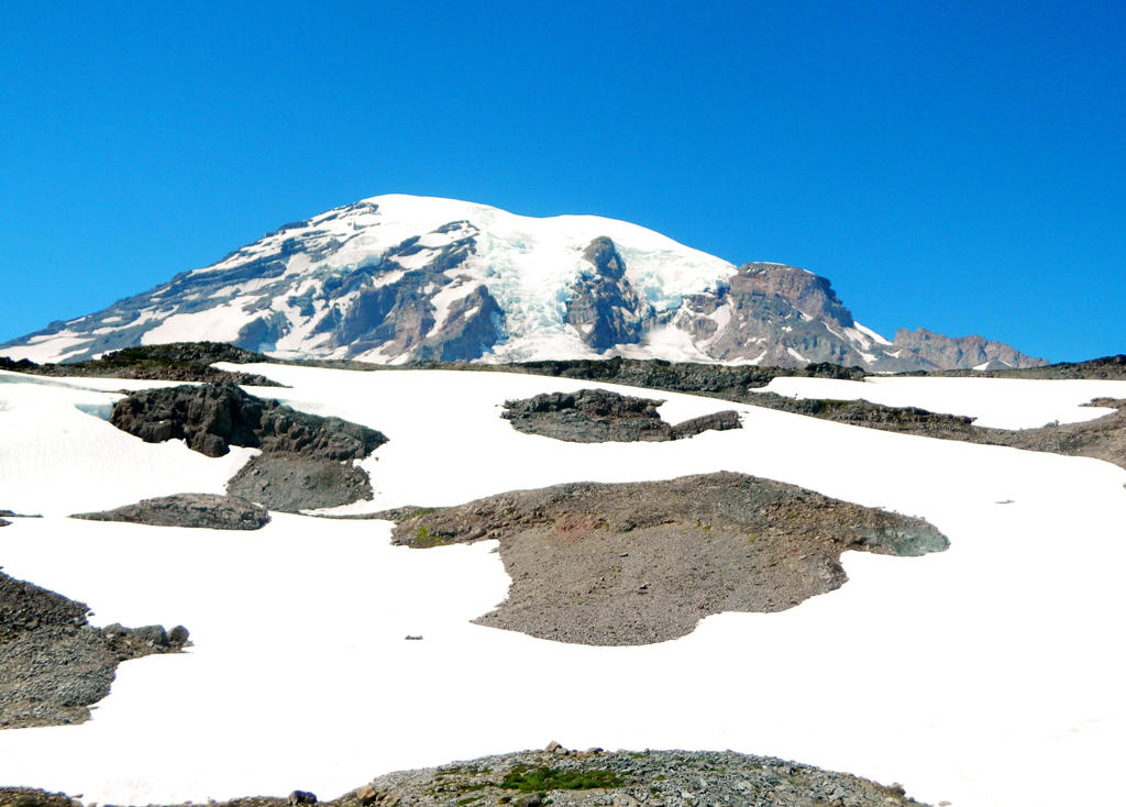
Massive Mount Rainier again.
And the view down to the Nisqually Valley below
Looking behind us, we get this view.
Distant waterfall across the Edith Creek valley:
That same waterfall tumbling off of the Wilson Glacier and disappearing into the Nisqually Glacier, but this time with much better lighting conditions!
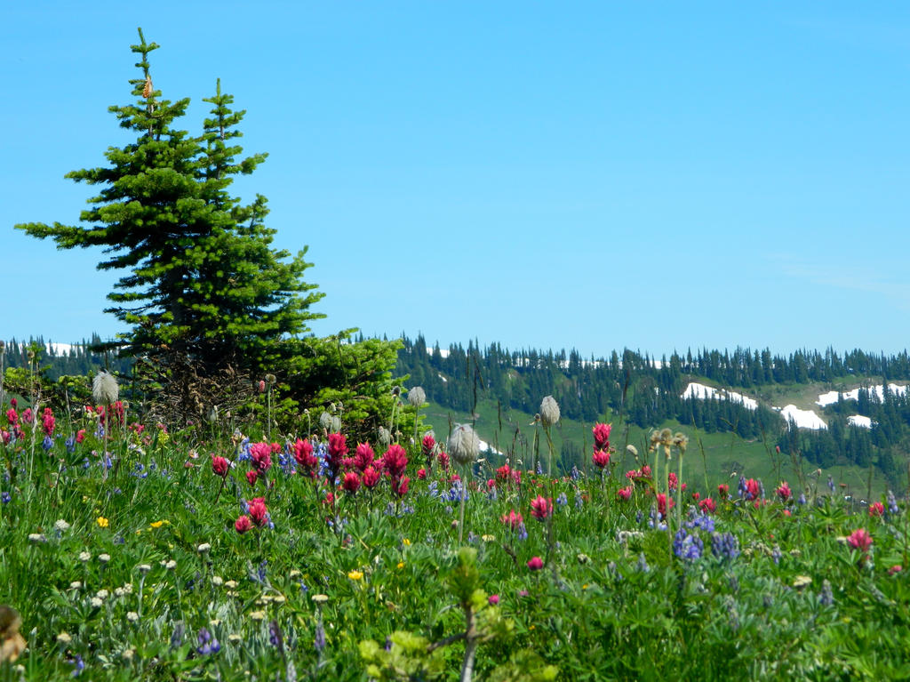
Vast expanse of rolling wildflowers were very common throughout most of the trail, like seen here:
Mount Rainier in view:

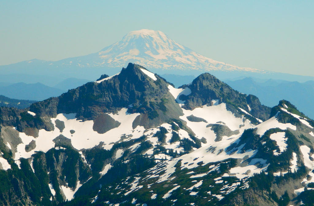
The perfect cone of Mount Adams rises above the Tatoosh Range:
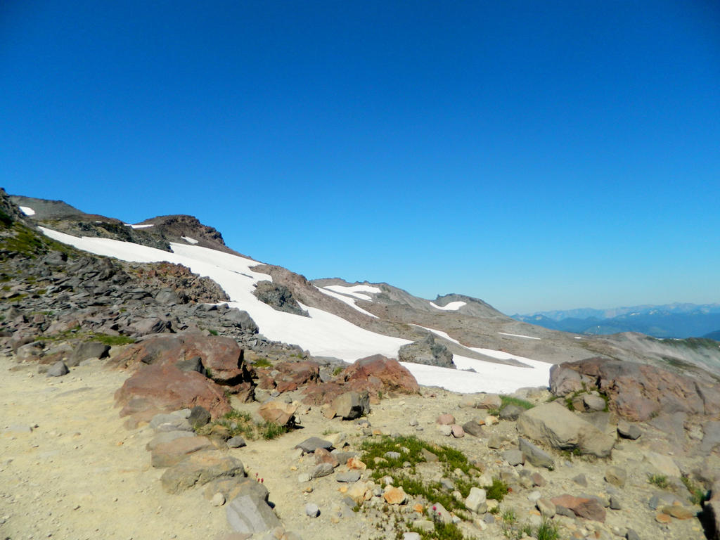
Looking back towards one of the snow patches we descended.
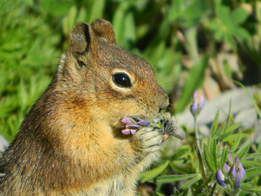
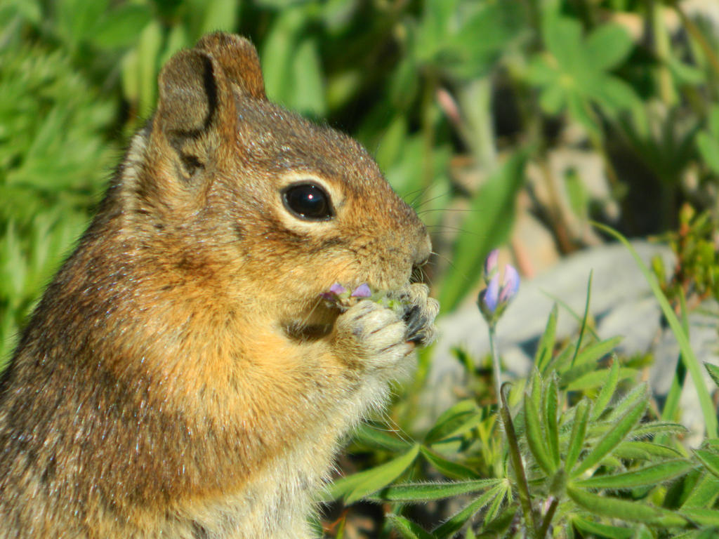
A chipmunk posed for the camera!
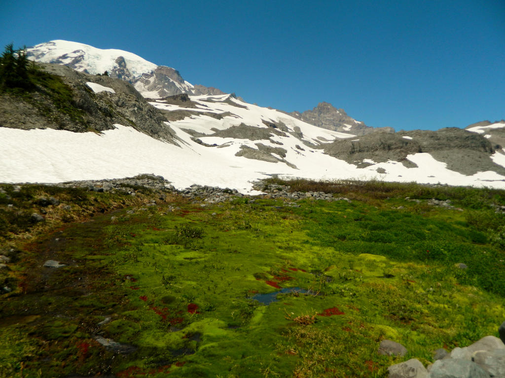
Looking out across the upper Paradise Valley, towards a falls Edith Creek.
An amazing view of Mount Rainier, with just the right angle of yellow-orange sunlight illuminating every rock and crevasse on the mountain.
Almost to Paradise and the visitor center/Paradise Inn. About 4.8 miles to here, from where I started the hike.
Unicorn Peak rising majestically over Paradise Inn.
Meadows as we descend the last 0.4 miles to the Inn.
View out across the Paradise Valley and the Paradise Valley Road U-curve. It was a roadwalk from here, about 0.6 miles or so.
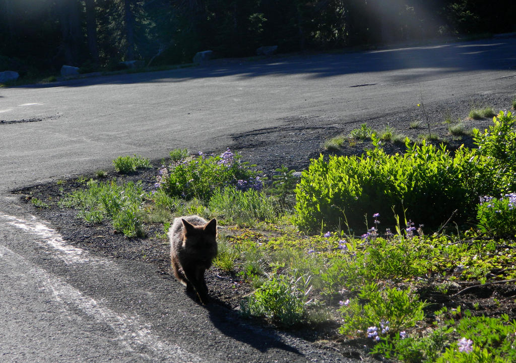
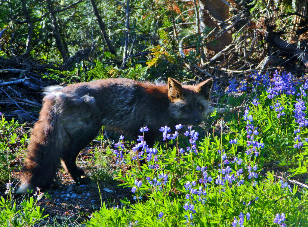
Driving back out of the Paradise Valley Road, we encountered this fox!
And, Stevens Canyon, which is not too far east from Paradise.
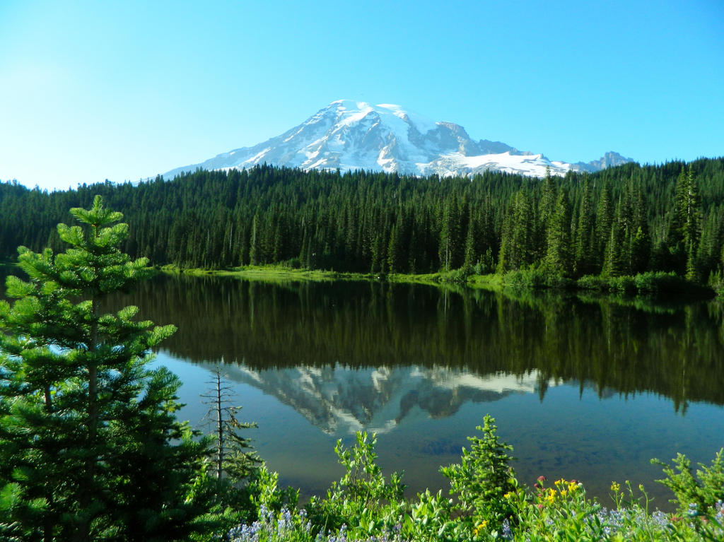
Reflection Lakes, the most popular lake for photographing Mount Rainier’s reflection.
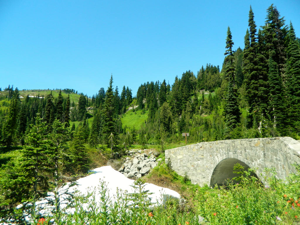
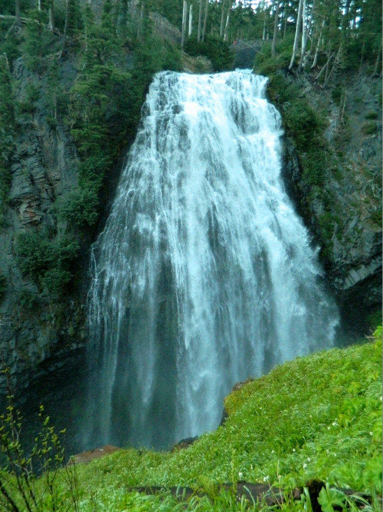
We stopped by Narada Falls on our way back to Cougar Rock.
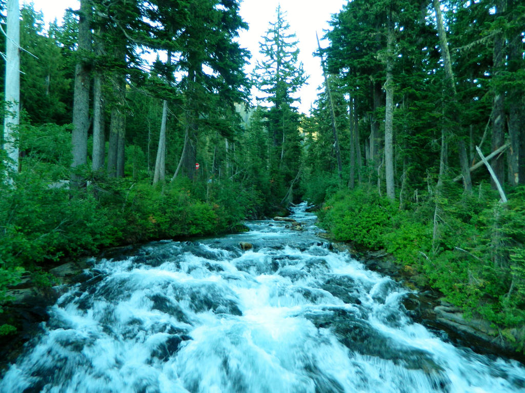
Paradise River just above the falls, which rushes down from Nisqually Glacier:
Lane Peak, our last stop before heading back from an amazing hike!
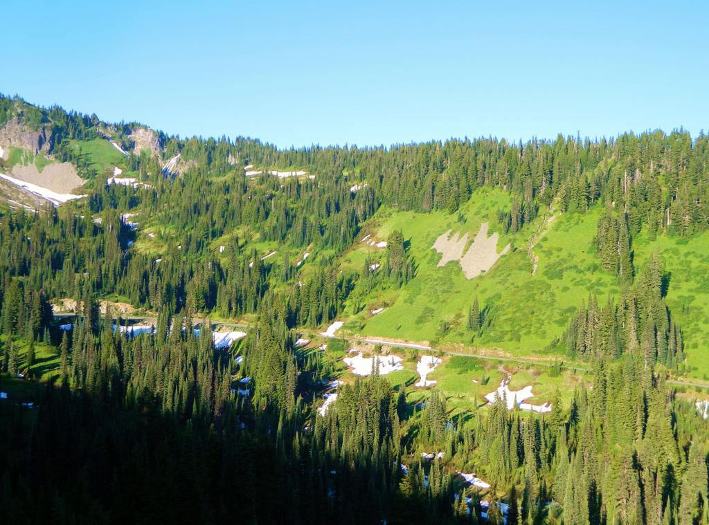
Our route we took, mostly on the Skyline Trail.
Now that we got the Skyline Trail checked off our Mount Rainier bucketlist, next up on our list is Pinnacle Peak, Burroughs Mountain, Summerland, Naches Peak Loop, Emerald Ridge, Tolmie Peak, and Snow Lake. Last year we managed to get a few of those checked off, but there still is quite a few to go! My ultimate dream is to hike the Wonderland Trail, after of course Mount Adams’ Round the Mountain-Highline Trail (including The Gap section), the Loowit Trail around St. Helens, and the Timberline Trail around Mt. Hood. Also on my list of long-distance trails is the Boundary Trail running from Mount St. Helens to Mount Adams over the rugged Dark Divide. (Hopefully by the time I’m ready to hike it, it will be a designated wilderness.
The views were amazing! Now for the North Cascades this summer, which is as close to Alaska mountains as you can get in the lower 48. Well, here is some cool art to enjoy! Mountains make anything look awesome, and combined with one of my favorite tv shows, it blows me away! I found these, and I just have to share them!

"Mountains How Do they Work." By artist Tyruas. Source: http://tyruas.deviantart.com/art/Mounta ... -269254166

"Friends in High Places." By artist Huussii. Source: http://huussii.deviantart.com/art/MLP-F ... -266023714
Just be glad you won't ever meet this guy. He's pure darkness and evil (with an unhealthy obsession with crystals)
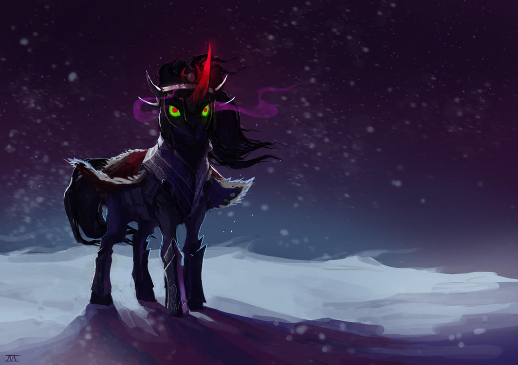
"King Sombra." By artist cmaggot. Source: http://cmaggot.deviantart.com/art/King-Sombra-337107962
----
Wow, that was long!


