A Cold Cookie on Silver Star 05-Dec-2013
Posted: December 5th, 2013, 4:58 pm
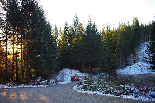
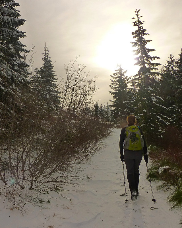
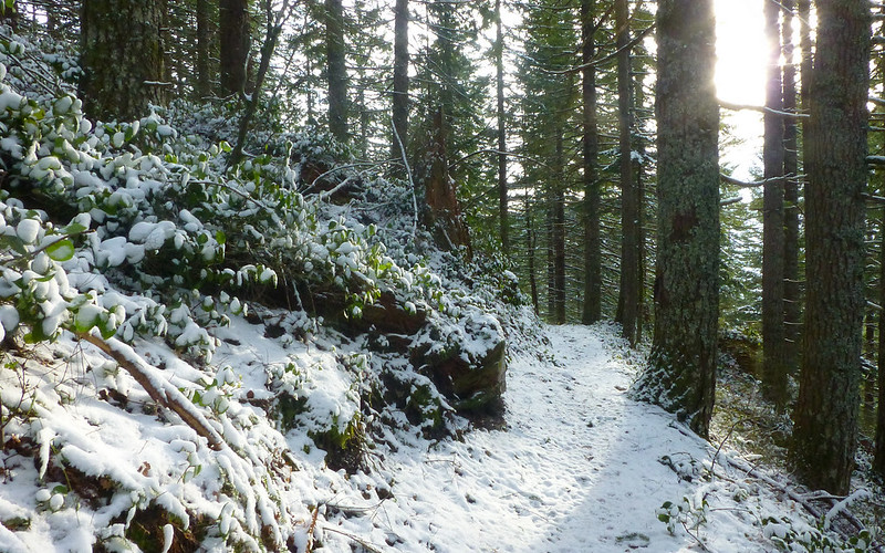
Go to a conference (unpaid) or go hiking (also unpaid, but with immense spiritual dividends). After 3 or 4 seconds of struggling with this conundrum, it became clear that a "conference" needed to happen on Silver Star today. So 7:30am and 21F found me parked at the gravel pile on W1200 which is the TH for Silver Star's S Ridge route.

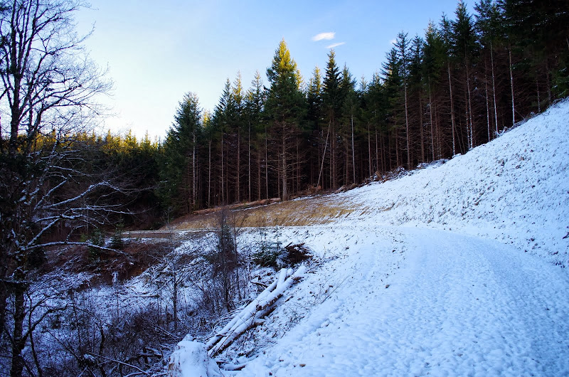
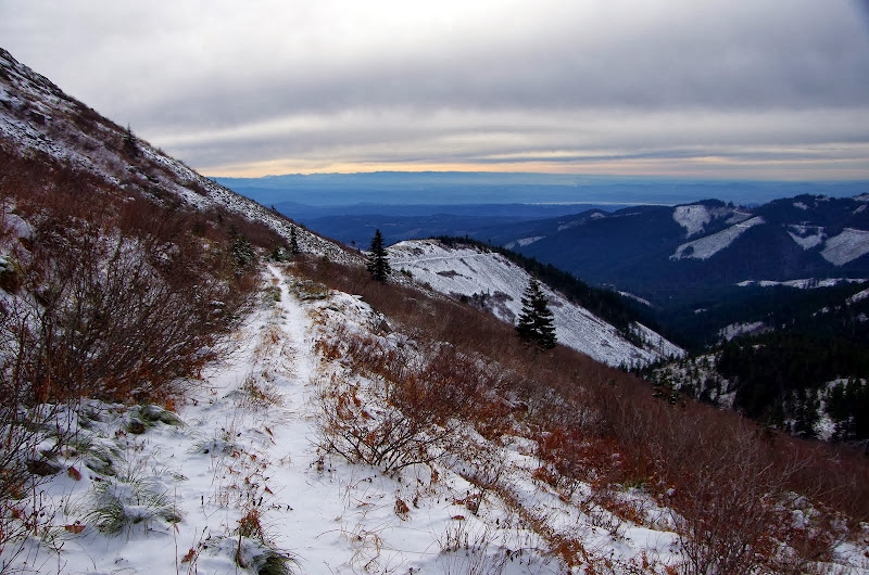
The route used to start up an old road to the left but now that's become a very new road to the left. What used to be a rutted, partially collapsed road has been transformed into a 20' wide, 24" gravel cap affair, with cut and fill through the collapsed section. Awesome if you like roads.
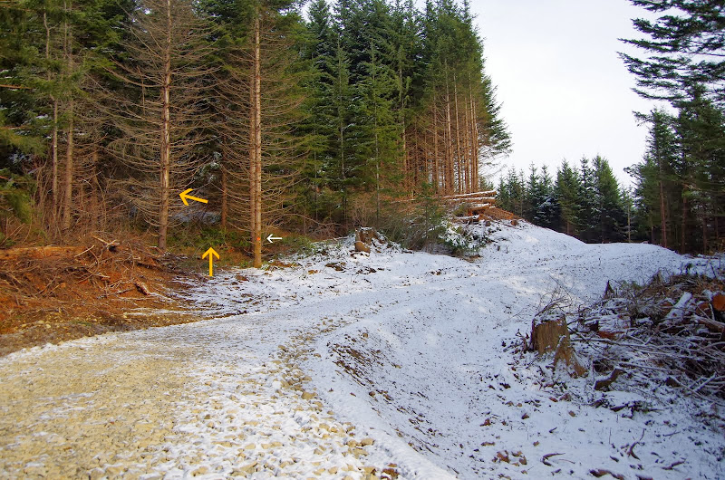
This new road follows the alignment of the old one to just beyond where you used to turn off for the S ridge route, where it makes a sharp right and cuts uphill through formerly unroaded terrain. So now to reach the S Ridge route you have to follow this new road around the right turn and look for a slight draw to the left about 300' up the road from the turn. There are no signs (the white arrow points to a boundary marker) but if you enter the draw and head up and to the left (yellow arrows) about 50' you'll reconnect with the S Ridge route - which is in good shape from here on up.
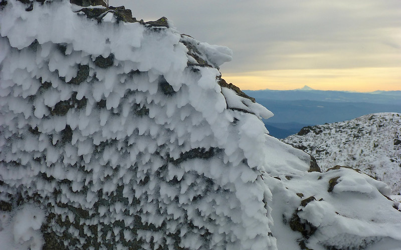
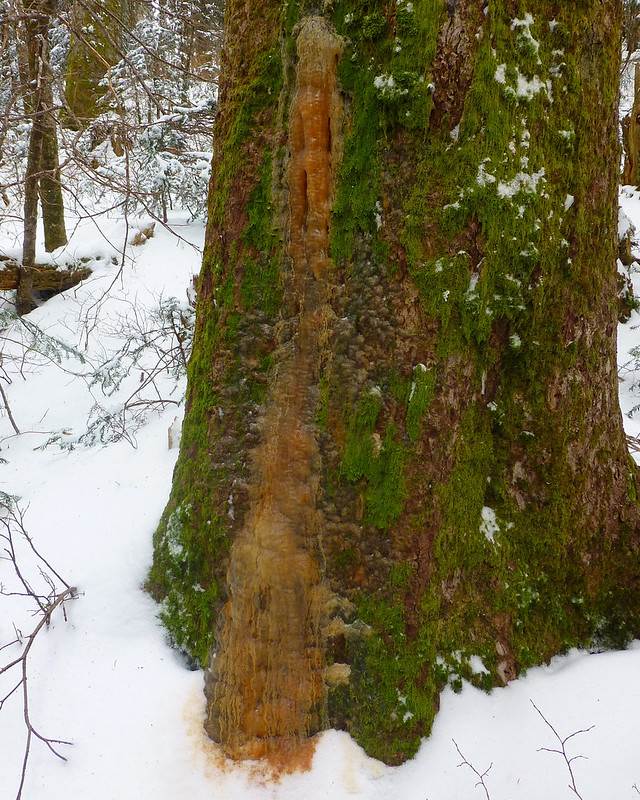
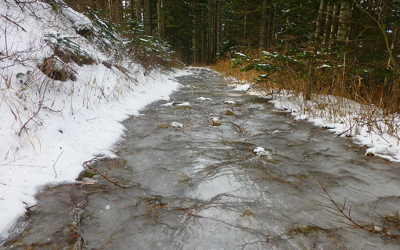
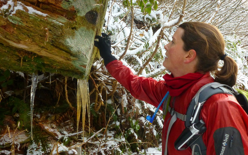
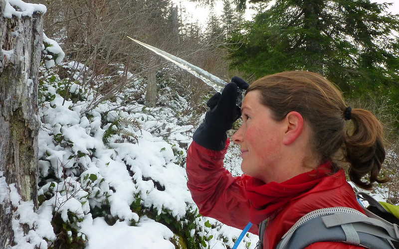
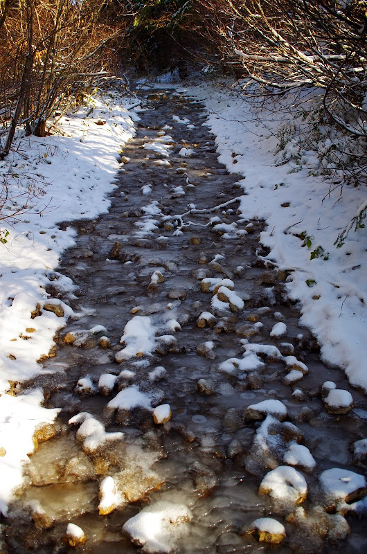
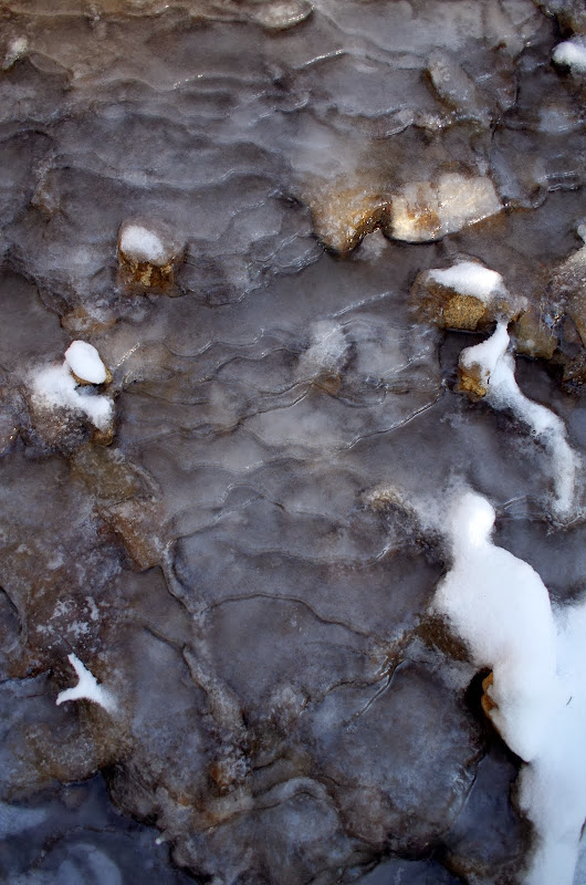
The only tricky section was at about 2,700' where a spring had flooded the center of the road into a skating rink - microspikes were much appreciated for about 300'.
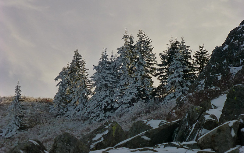
One of my favorite parts of this hike is that first glimpse of Silver Star and Pt 4060 (where the Indian Pits are) when the road turns the ridge at about 3,200'.
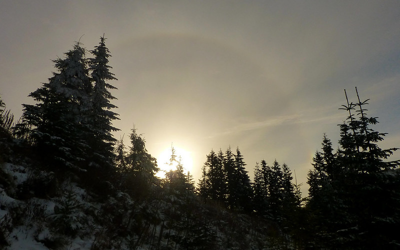
I went up Pt 4060's S ridge in sunshine and a very light wind - which was good because with an air temp in the low 20s, the wind chill would have been fierce on that ridge if the wind had kicked-up.
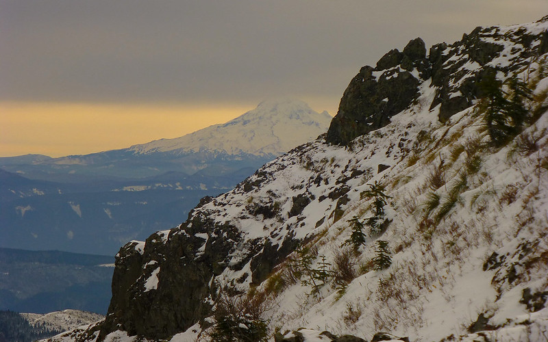
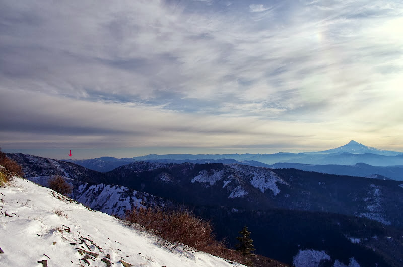
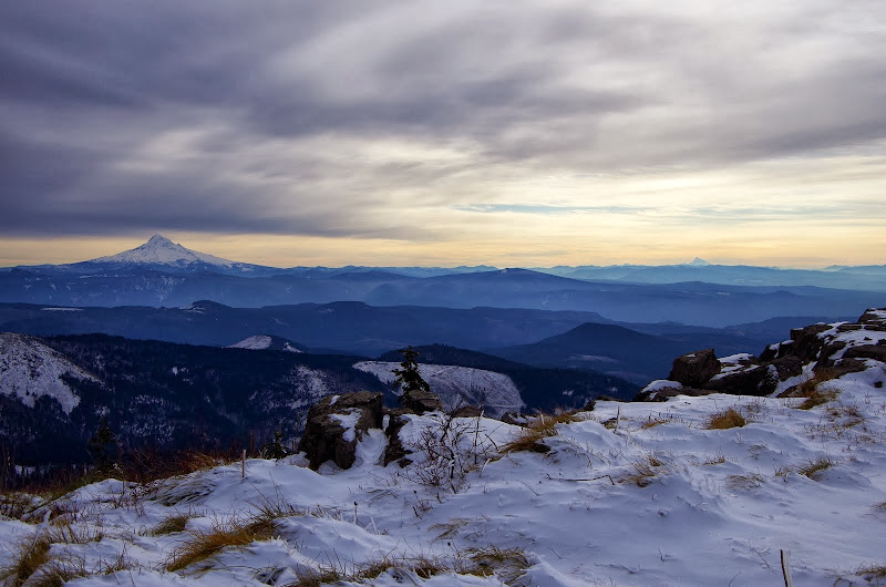
The day had started sunny but by the time I got high enough on the ridge to see Three Corner Rock (red arrow) and Hood, high clouds were sliding in.
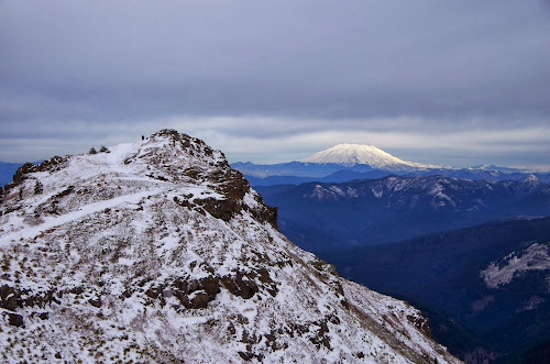
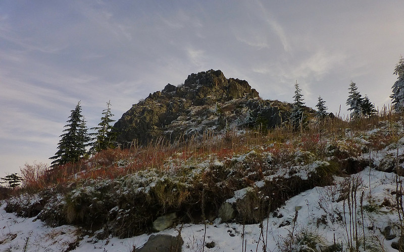
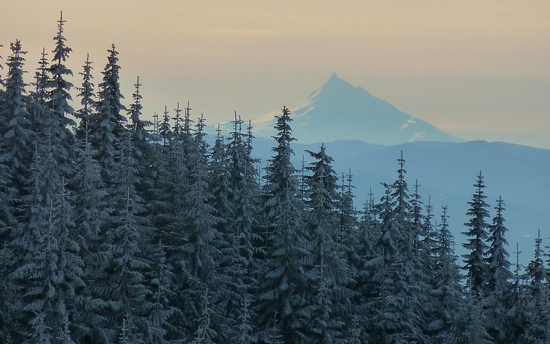
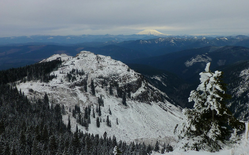
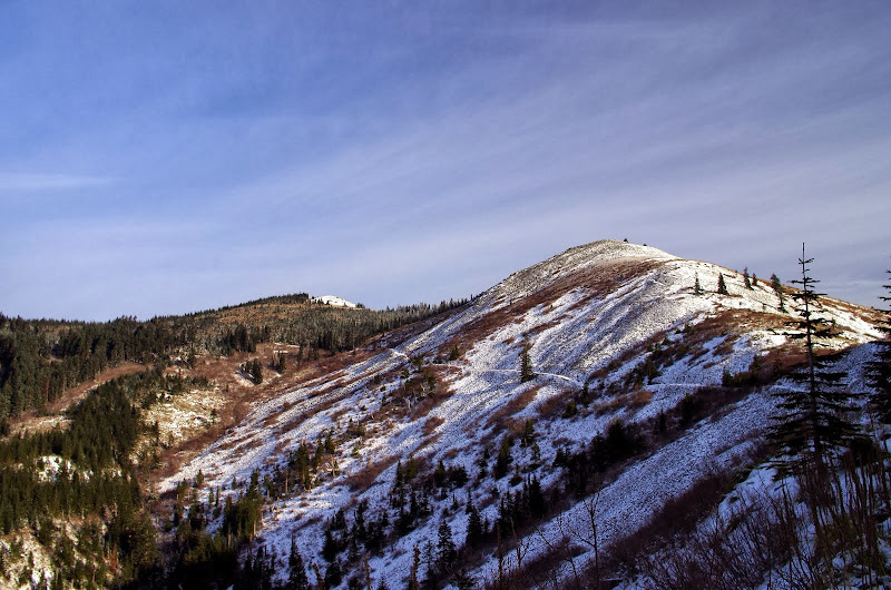
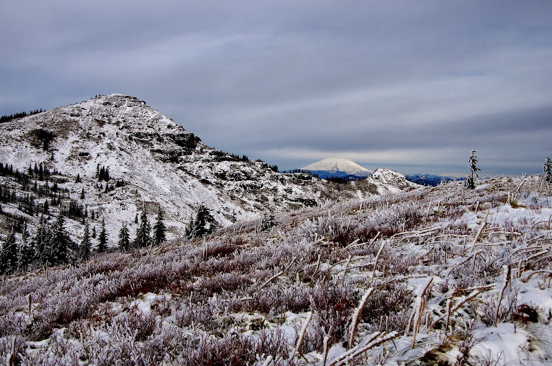
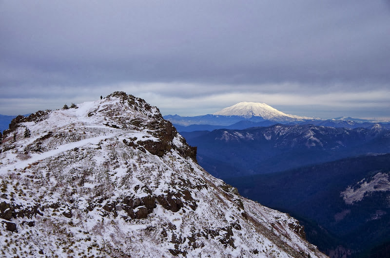
Another favorite part is when you turn the corner of the rock piles on top of Pt 4060 and get that first view of the summit of Silver Star with St. Helens in the distance.
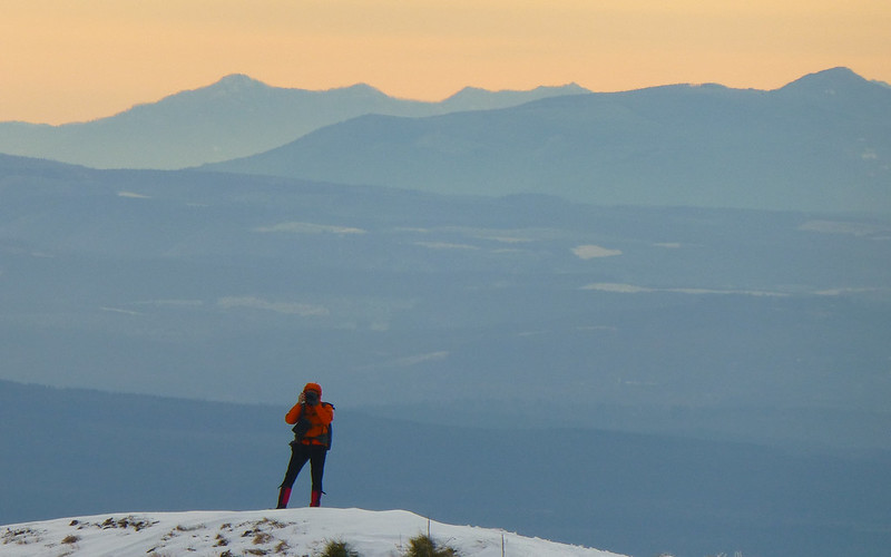
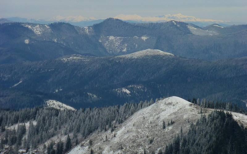
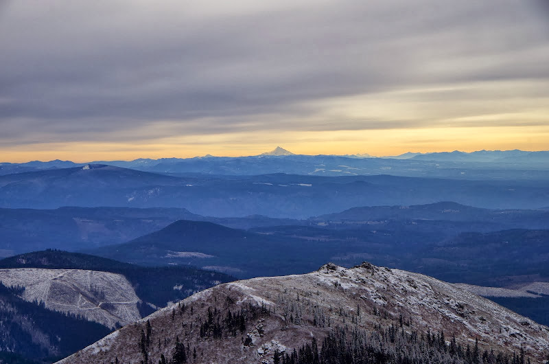
Looking back, I could see Hood nearby and Jefferson on the far horizon.
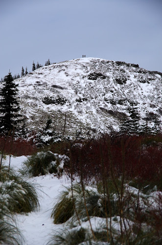
Approaching the last climb before the summit, I spotted two figures on the skyline - crowds! Who were these people? Why weren't they working? Did they have a better excuse than "I was (uhmm...) at a conference?" Inquiring minds wanted to know - so I pressed on.

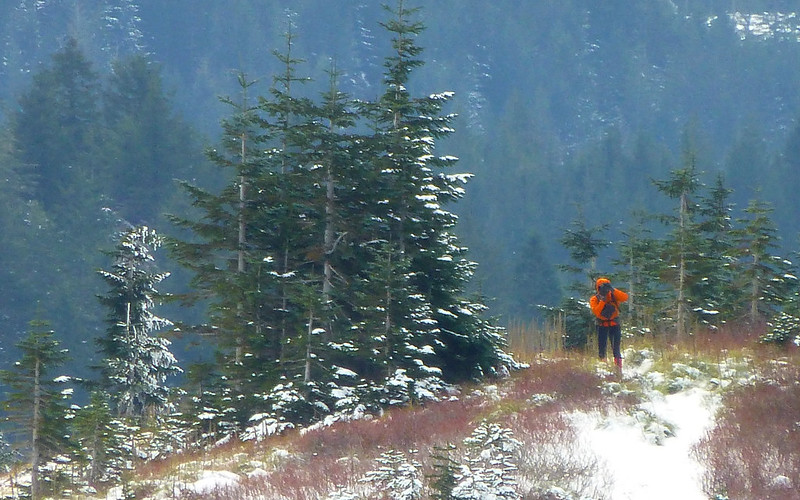
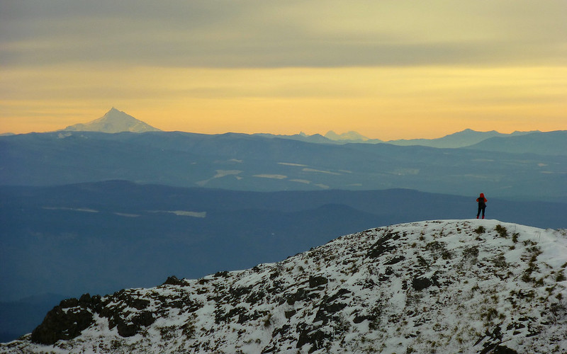
Coming onto Silver Star's summit ridge, I got a great view of the summit, of St. Helens, and of one of those mystery figures.
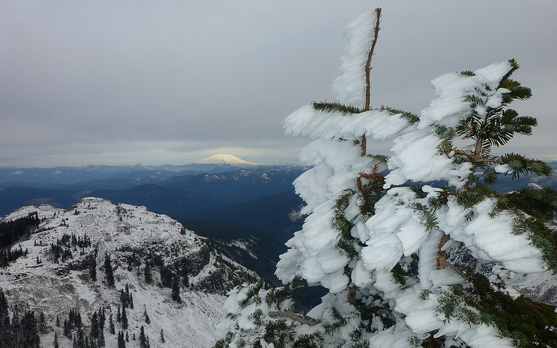
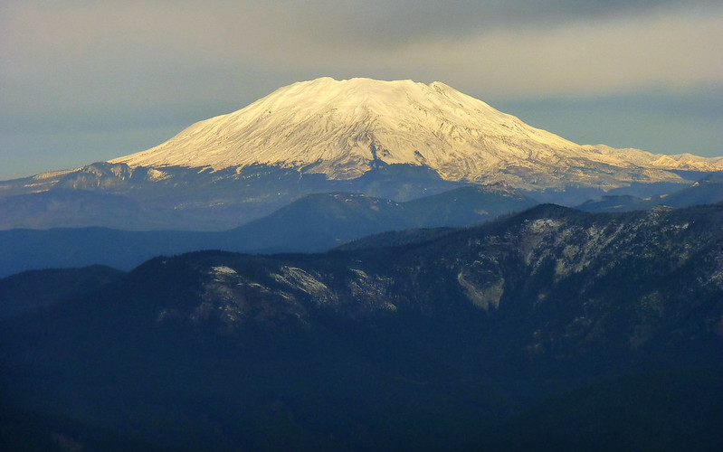
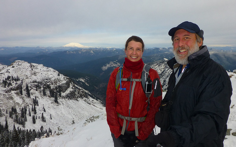
I finally reached the summit to find PHers Allison (awildman) and Karl (kepPNW) remarking about how 22F wasn't really that cold (there was no wind on the summit) and eating Allison's excellent cookies (she shared - thanks!). Last time I was on Silver Star under winter conditions, the crowds consisted of Don and Guy. Standing on summits in the cold must be a PHer thing. Despite the high clouds, St. Helens was illuminated as though with a spotlight,

and Jefferson was backlit by a curiously yellow horizon (Pt 4060 in the foreground).
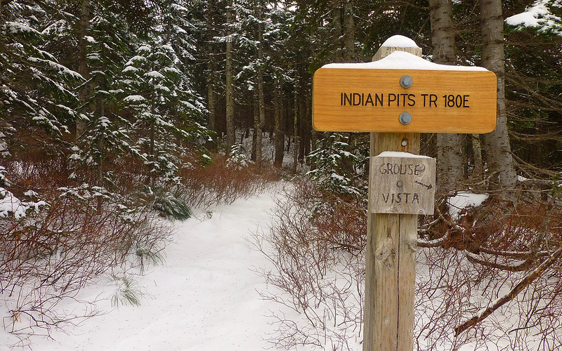
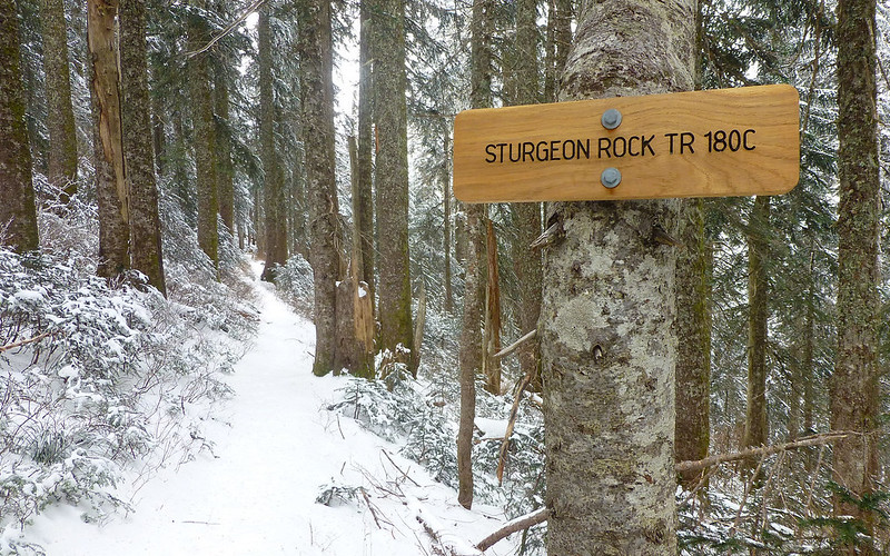
After a little idle chit-chat about how our Congress is amazingly efficient and productive, and some fist bumps in honor of Mayhem, I headed down toward Grouse Vista and Allison and Karl went off toward Sturgeon Rock. I was planning to hike to the Vista and then down the road to my car but decided on the fly to cut-off on the old road that runs below Pt 4060 and connects with the S Ridge route.
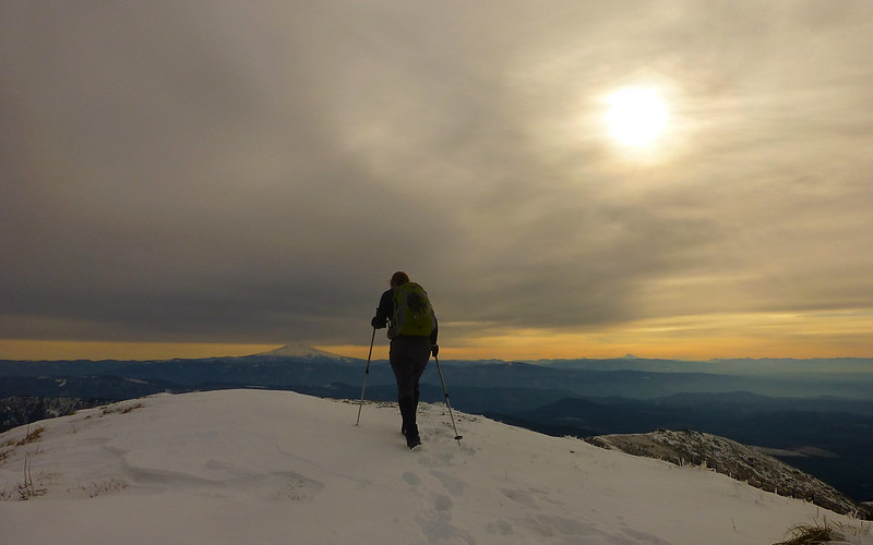
As is often the case, the sun came out again on the way down and it somehow seemed warm (even though the air temperature was only in the low 30s at best).

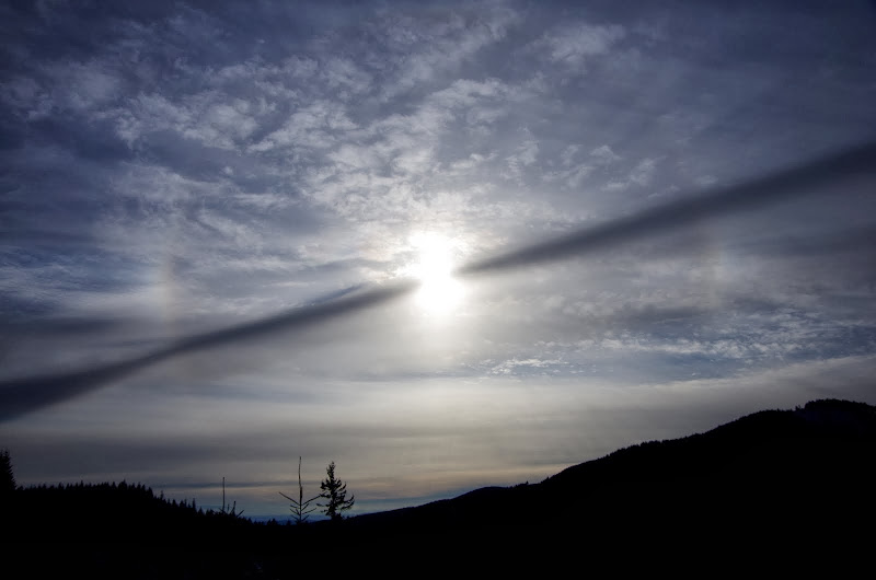
The hike back was uneventful but the sun setting through a smeared contrail was pretty neat (or possibly foreboding?).
Despite the new road work (which actually makes getting to the trail easier), this was another iteration of one of my favorite Winter/Spring hikes (7.5 mi, 2200' EG), made even better by sharing the summit with fellow PHers (and a delicious cookie).
The route used to start up an old road to the left but now that's become a very new road to the left. What used to be a rutted, partially collapsed road has been transformed into a 20' wide, 24" gravel cap affair, with cut and fill through the collapsed section. Awesome if you like roads.
This new road follows the alignment of the old one to just beyond where you used to turn off for the S ridge route, where it makes a sharp right and cuts uphill through formerly unroaded terrain. So now to reach the S Ridge route you have to follow this new road around the right turn and look for a slight draw to the left about 300' up the road from the turn. There are no signs (the white arrow points to a boundary marker) but if you enter the draw and head up and to the left (yellow arrows) about 50' you'll reconnect with the S Ridge route - which is in good shape from here on up.
The only tricky section was at about 2,700' where a spring had flooded the center of the road into a skating rink - microspikes were much appreciated for about 300'.
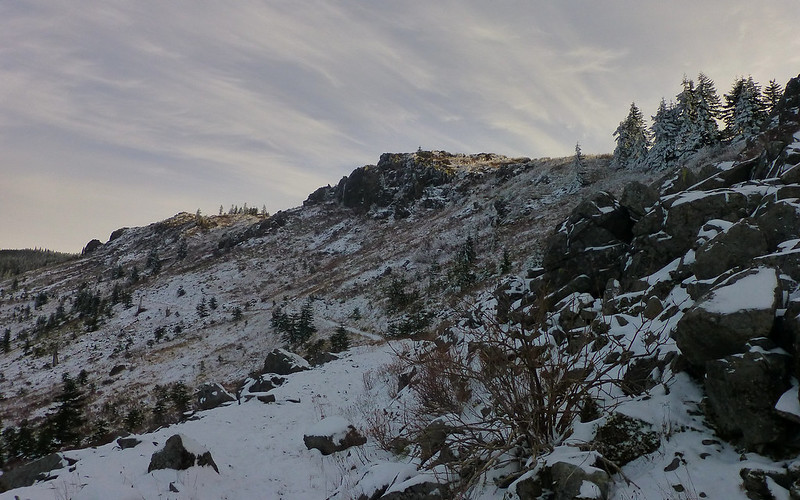
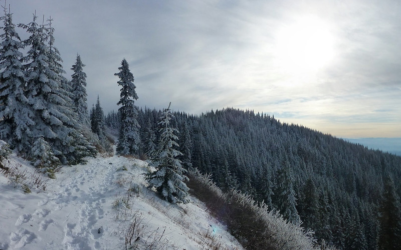
One of my favorite parts of this hike is that first glimpse of Silver Star and Pt 4060 (where the Indian Pits are) when the road turns the ridge at about 3,200'.
I went up Pt 4060's S ridge in sunshine and a very light wind - which was good because with an air temp in the low 20s, the wind chill would have been fierce on that ridge if the wind had kicked-up.
The day had started sunny but by the time I got high enough on the ridge to see Three Corner Rock (red arrow) and Hood, high clouds were sliding in.
Another favorite part is when you turn the corner of the rock piles on top of Pt 4060 and get that first view of the summit of Silver Star with St. Helens in the distance.
Looking back, I could see Hood nearby and Jefferson on the far horizon.
Approaching the last climb before the summit, I spotted two figures on the skyline - crowds! Who were these people? Why weren't they working? Did they have a better excuse than "I was (uhmm...) at a conference?" Inquiring minds wanted to know - so I pressed on.
Coming onto Silver Star's summit ridge, I got a great view of the summit, of St. Helens, and of one of those mystery figures.
I finally reached the summit to find PHers Allison (awildman) and Karl (kepPNW) remarking about how 22F wasn't really that cold (there was no wind on the summit) and eating Allison's excellent cookies (she shared - thanks!). Last time I was on Silver Star under winter conditions, the crowds consisted of Don and Guy. Standing on summits in the cold must be a PHer thing. Despite the high clouds, St. Helens was illuminated as though with a spotlight,
and Jefferson was backlit by a curiously yellow horizon (Pt 4060 in the foreground).
After a little idle chit-chat about how our Congress is amazingly efficient and productive, and some fist bumps in honor of Mayhem, I headed down toward Grouse Vista and Allison and Karl went off toward Sturgeon Rock. I was planning to hike to the Vista and then down the road to my car but decided on the fly to cut-off on the old road that runs below Pt 4060 and connects with the S Ridge route.
As is often the case, the sun came out again on the way down and it somehow seemed warm (even though the air temperature was only in the low 30s at best).
The hike back was uneventful but the sun setting through a smeared contrail was pretty neat (or possibly foreboding?).
Despite the new road work (which actually makes getting to the trail easier), this was another iteration of one of my favorite Winter/Spring hikes (7.5 mi, 2200' EG), made even better by sharing the summit with fellow PHers (and a delicious cookie).