Foss Lakes to Necklace Valley loop - 8/17-19/13
Posted: August 22nd, 2013, 9:01 pm

This one has been on my short list since last year, so when I found out Ben was on vacation, I got Monday off work and we quickly put together a three day trip to do the loop. The Foss Lakes are in the Alpine Lakes Wilderness off Highway 2, just past Skykomish. We left Portland after work on Friday, arriving at the Necklace Valley trailhead around midnight. Leaving the car there, the next morning we set out farther down the road towards the West Fork Foss trailhead, around three miles away. Thankfully another backpacker drove by pretty quickly and kindly gave us a lift.
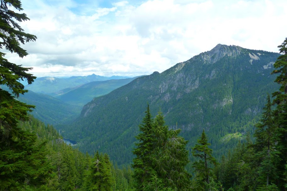
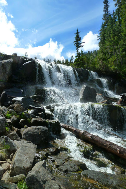
Finally on the trail around nine, we came upon the W Fork of the Foss.
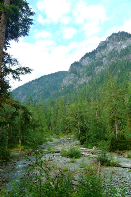
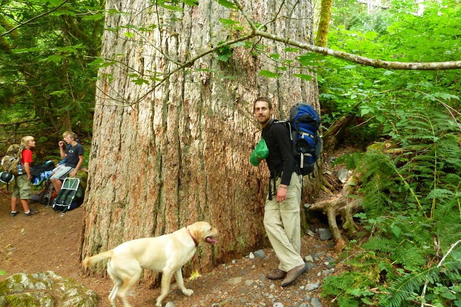
There were some crowds on the early part of the trail. Fishing is big in the Foss Lakes. Also, trees are big.
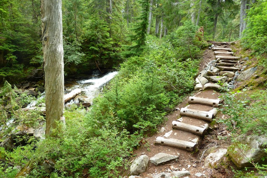
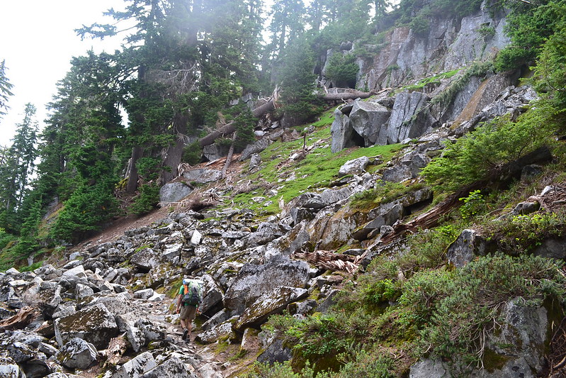
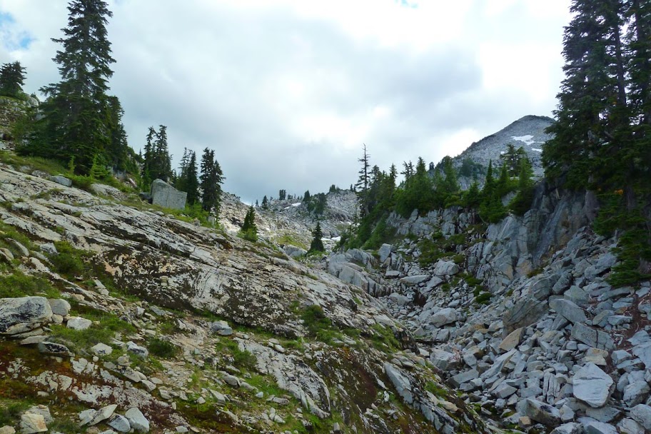
Very nice trail. The work seems recent.
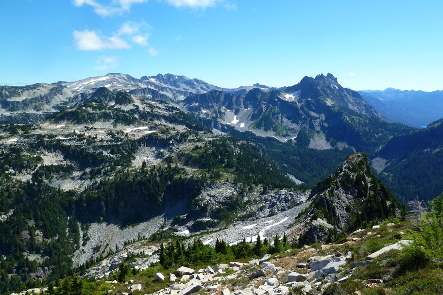
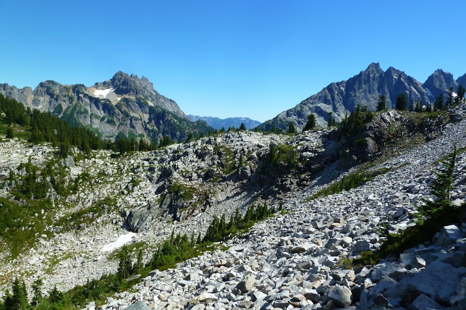
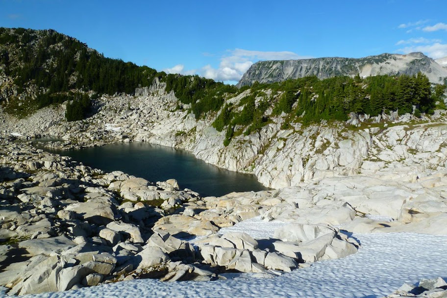
The first lake you come to is Trout Lake. Then you climb up to the first of the more "alpine" Foss Lakes: Copper Lake.

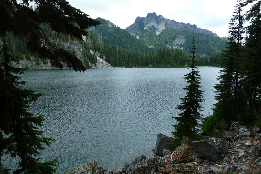
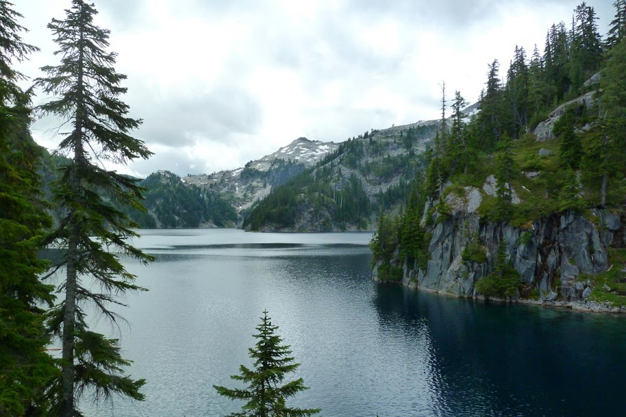
View back down the valley towards Trout Lake. We think the peak to the right is Silver Eagle.
More climbing and you finally get to the end of the "official" trail (7 miles in) at Big Heart Lake.
The outlet of Big Heart runs down to Delta Lake. We decided it was a good place to stop for a snack.

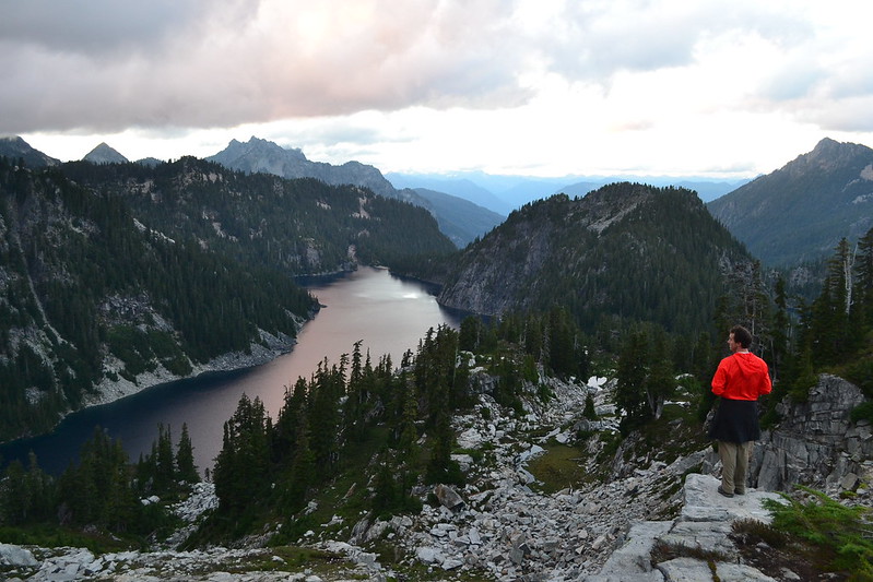
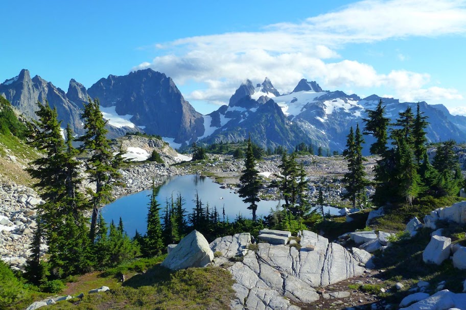
After Big Heart, the trail continues along and over the rib that separates Big Heart from Angeline, itself also a mighty big lake. The peak in the back is Iron Cap Mountain - on the menu for the next day.
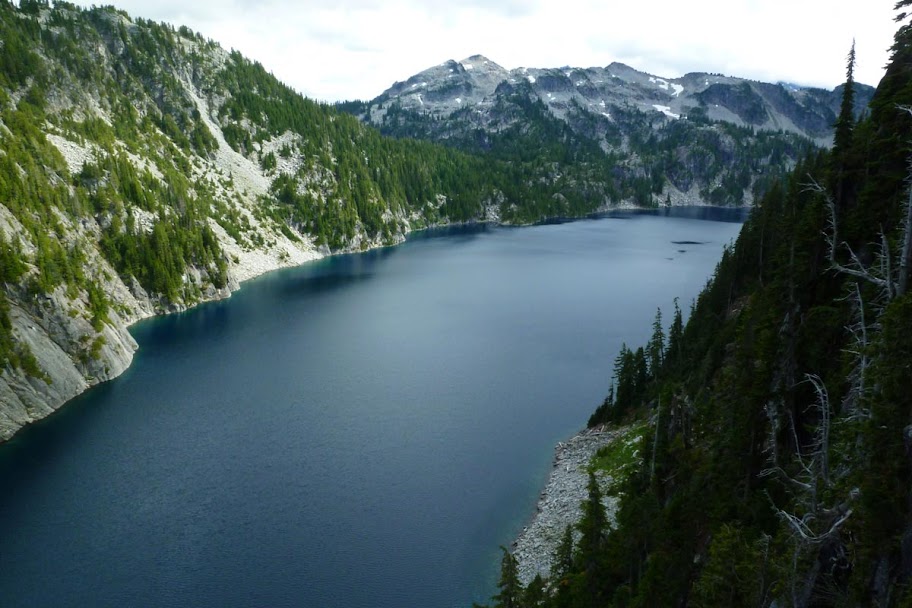
Looking across Angeline at Mt. Hinman.
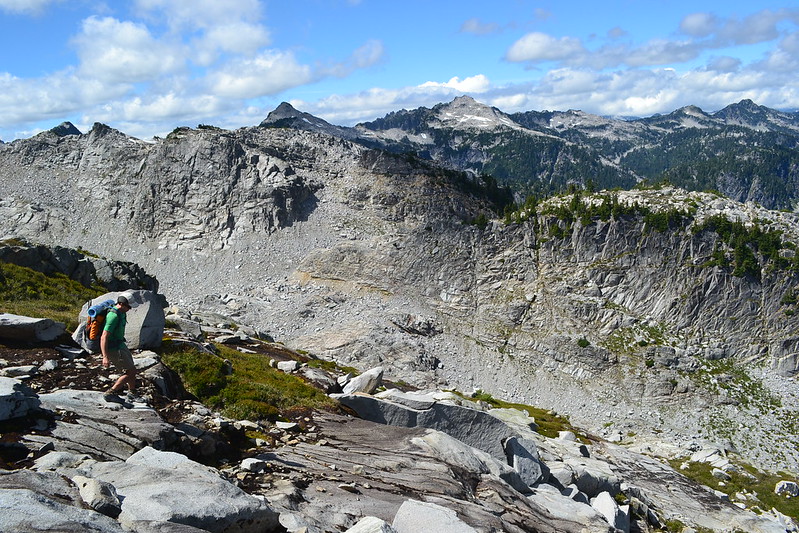
The fisherman's use trail across the rib was very worn in and easy to follow. On the other side it sometimes became fainter as we followed it up a rocky drainage.

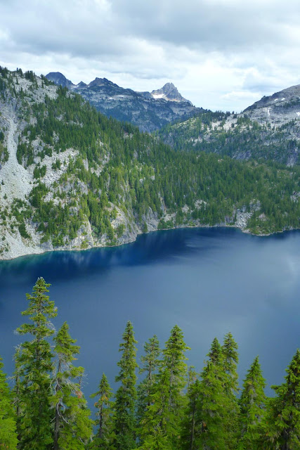
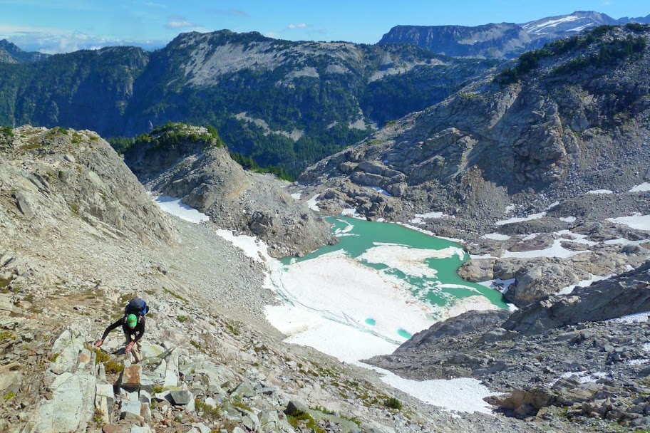
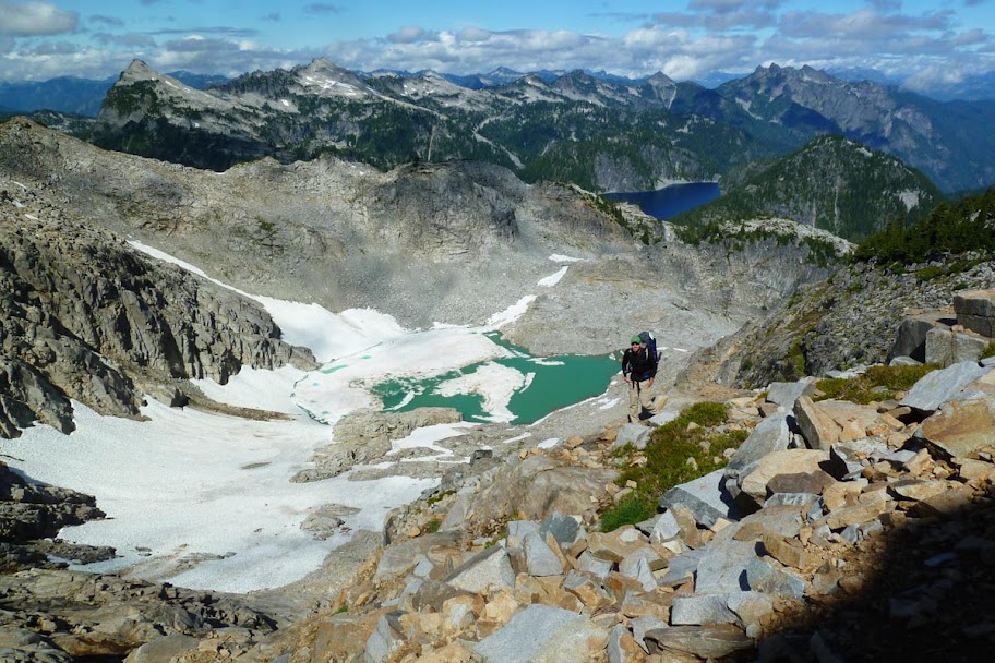
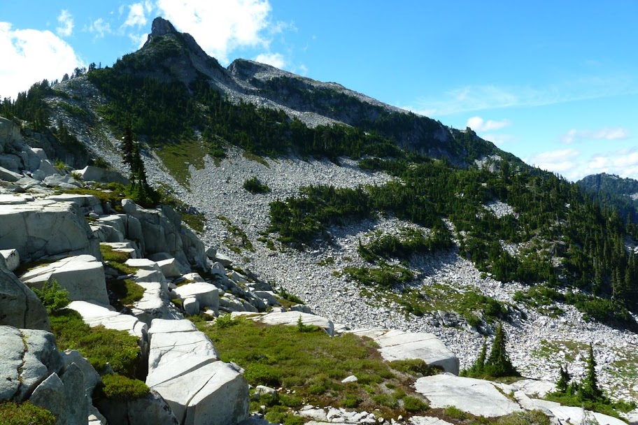
Big Heart Lake, below. Malachite Peak in the back.

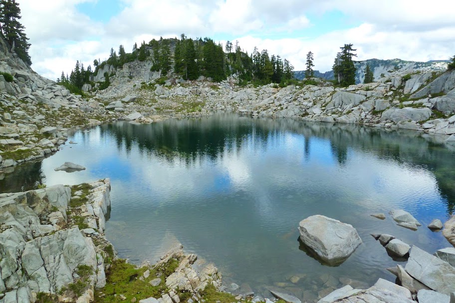
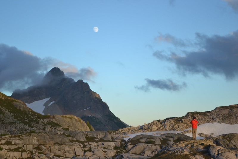
We finally arrived at the tarn below Tourmaline Peak (6245 on the map, south of Big Heart Lake), our planned camp for the night.

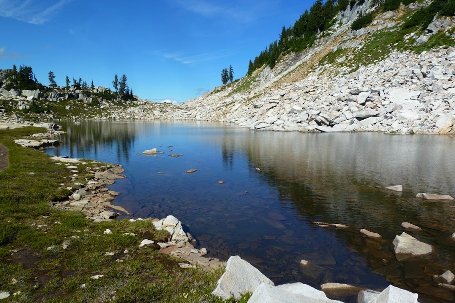
What a pretty tarn!
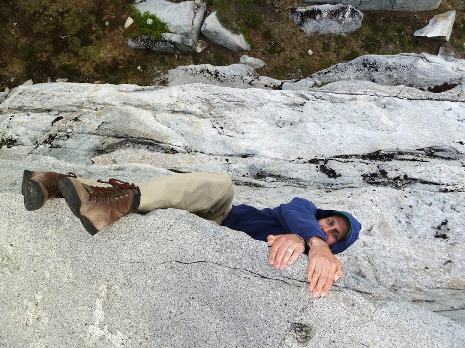
Ben doing the first ascent of some extreme rock climb. (I know you love this, Roy!
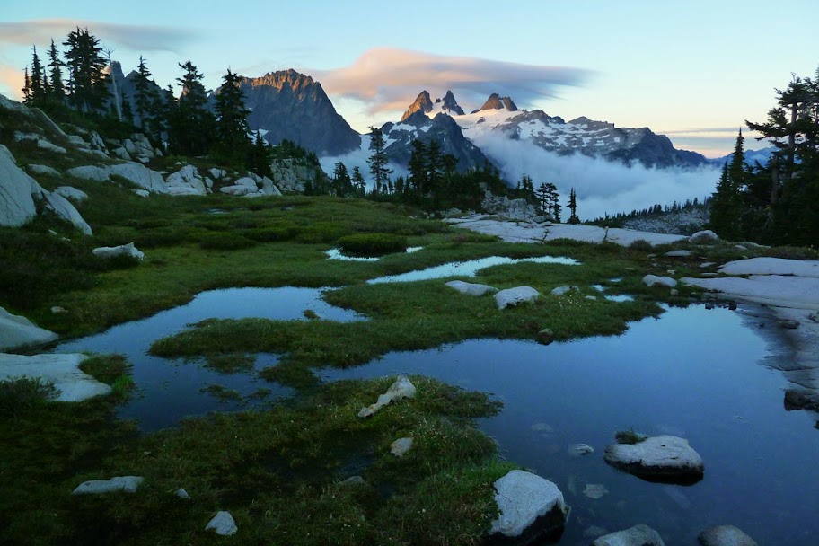
We put the tent on a granite slab to reduce impact on the fragile heather meadows. Sunset kicked in nicely.

Morning.

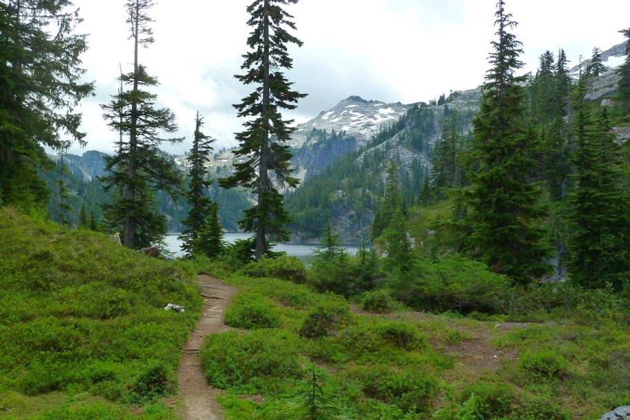
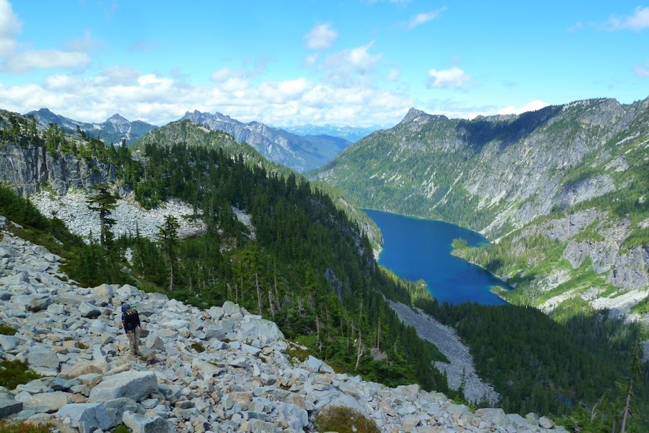
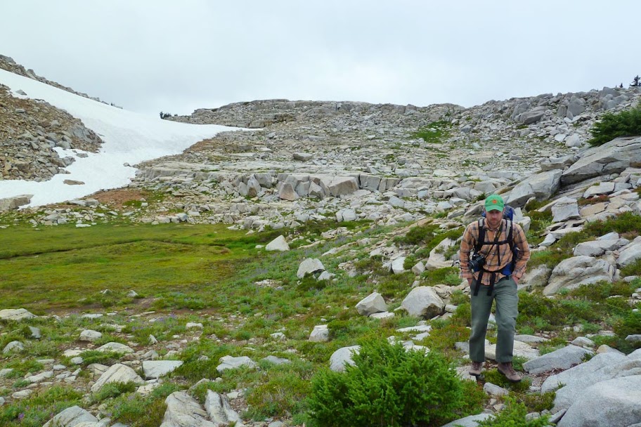
We packed up and followed the use trail down to the edge of Chetwoot Lake. From here the trail disappeared and it would be off trail until we got to the Tank Lakes on the east side of the loop.
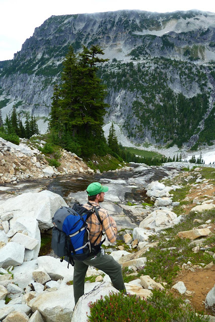
Ben coming up from Chetwoot. Tourmaline is the pointy peak. The tarn is down its right slope at the treeline.

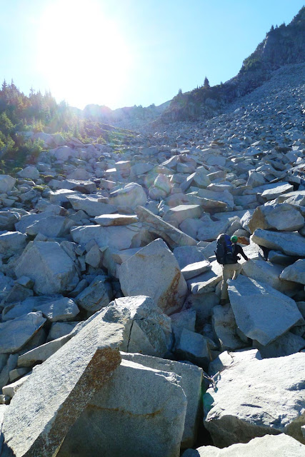
We went up to the ridge via a big talus gully. Large blocky granite.
We played the hot lava game and jumped from rock to rock to stay off the snow. Angeline in the background.
Last bit to the ridge.

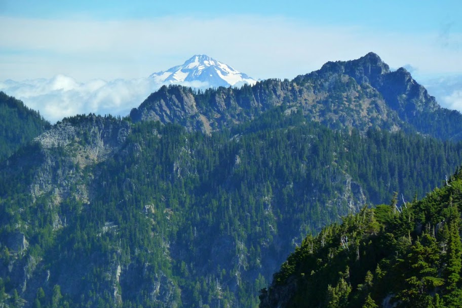
Ridge view north to Glacier Peak.
Looking across Iron Cap Lake to Iron Cap Mountain.
Following the ridge. The scrambling was fun and not too exposed, though sometimes we had to do a few technical moves.


Looking up at Iron Cap's summit. We traversed the ledges to the left.

RaWR?
Looking east from the summit at Hinman and Mt. Daniel (in the background). The Tank Lakes are on the plateau below the midground peak to the left.
Dropping down off the summit found us cliffed out above the ridge over towards Tank. Sadly this meant we had to backtrack and climb back up to the north ridge off Iron Cap and circle around.

Otter Lake below.
We finally picked up the route via some cairns, and headed down a steep and tricky set of benches.
Then endless talus field traversing.
Finally at Iron Cap saddle, looking back (the summit is the one on the right, farther away than it looks). Our route dropped over the shoulder of the mountain and then came back, traversing across the large talus field in the middle of the frame.
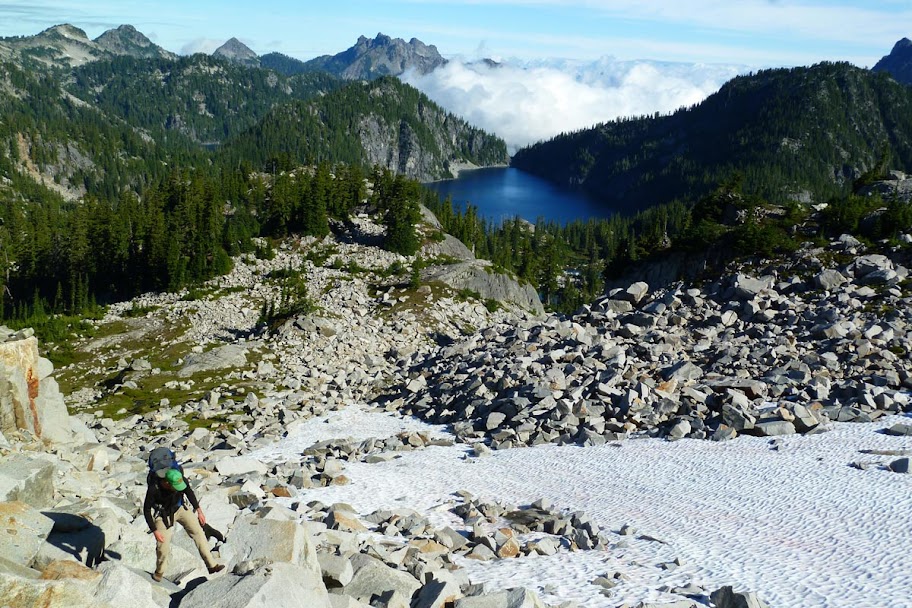
Last bit of climbing up to the Tank plateau. We were feeling the burn - the off trail was strenuous, especially with packs!

Plateau! Summit Chief in the background across the valley.

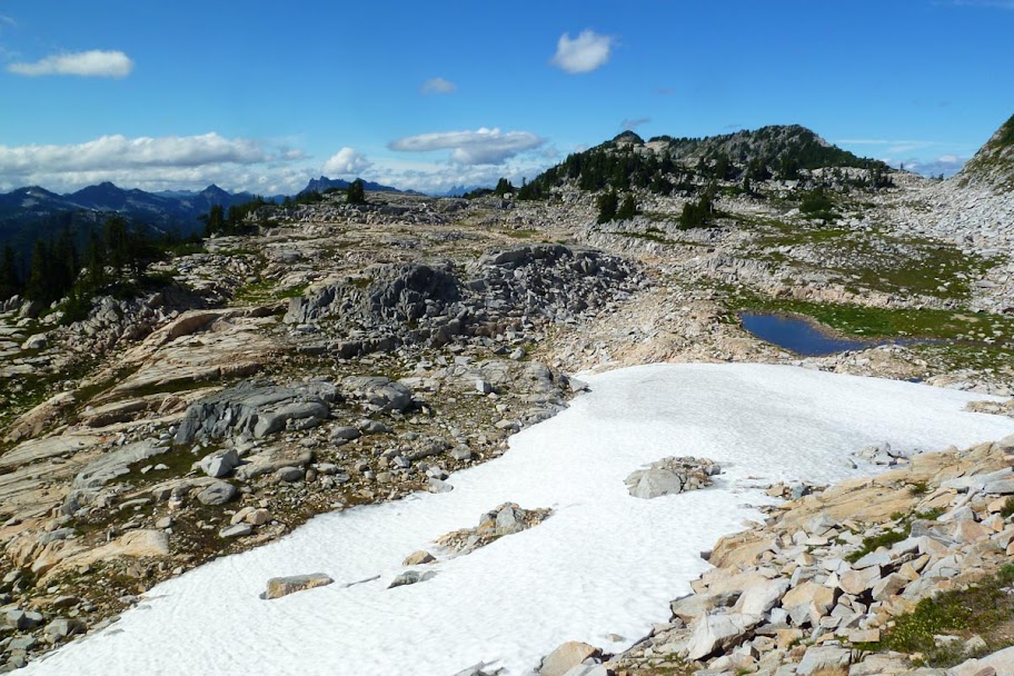
Looking onto the rugged plateau.
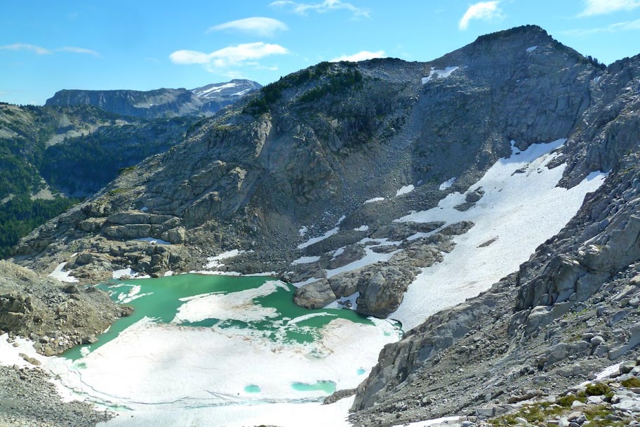
Lower Tank Lake.
Lower Tank to the left, tarns to the right, and looking across at Summit Chief, Chimney Rock, and Overcoat Peak.

Over a rise and looking down on Upper Tank. It's fed by snowmelt. We went for a cold but refreshing swim.
Looking back over Lower Tank at the peaks.
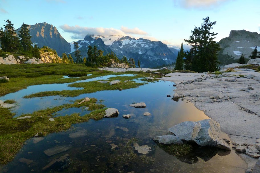
We set up camp on a granite slab next to one of the tarns. Views were acceptable.


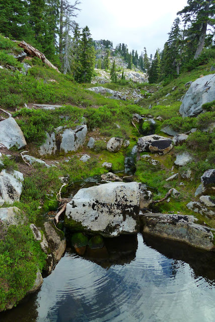
Lots of water and rock here.
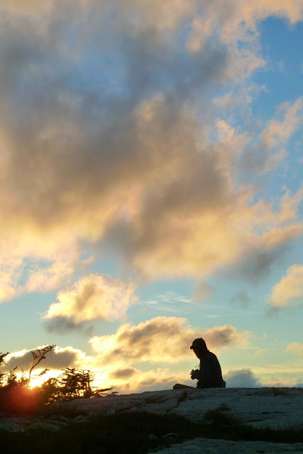
But then we woke at 6 and caught the sunrise...


Extreme closeup of Chimney Rock(s) and the Overcoat. Hmm... future destination....

After sunrise, it clouded over. We lounged around camp and then packed up and headed NW towards Necklace Valley.
Still playing the lava game.
The route from Tank down to Necklace Valley descends a rocky drainage. There were few cairns, and we picked our way over granite slabs and blocks.
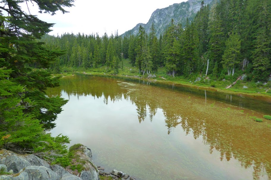
It also started to rain. Finally down in NV, kind of unexciting after being up at the Tanks. I think this might be Opal Lake? We weren't sure quite where we popped out.
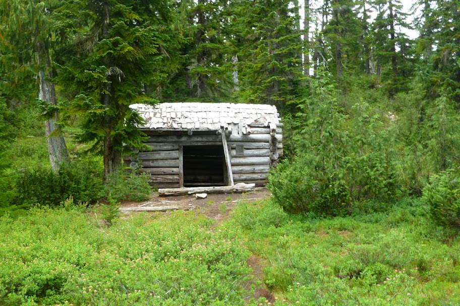
Necklace Valley cabin, with inscriptions dating back to the 50s and 60s.
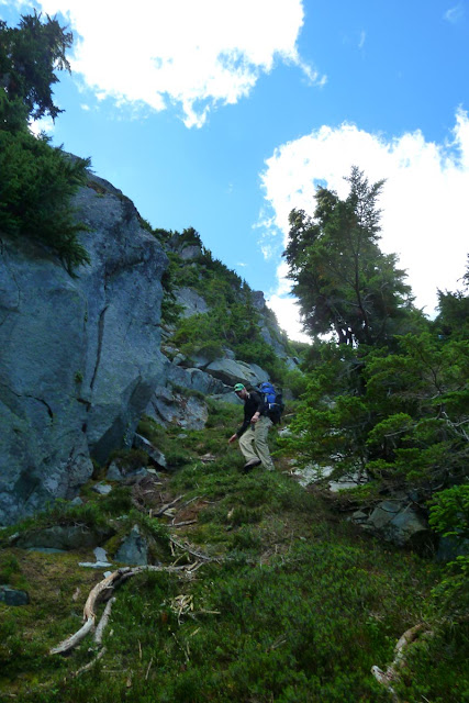
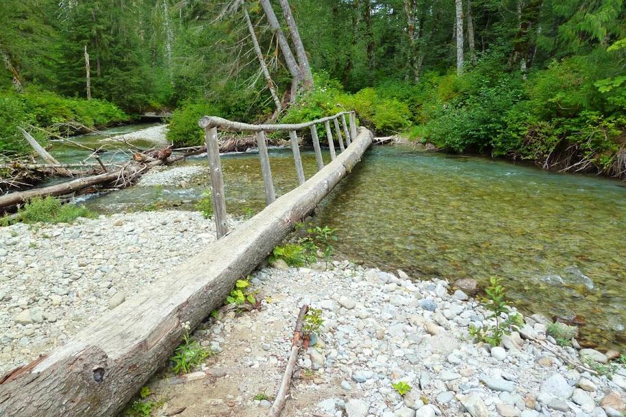
After passing through the NV lakes, the trail dropped steeply for a few miles to the East Fork of the Foss. There was a fallen tree made into a bridge.
Some old logging rail parts? Bobcat or DN - ID?

More big trees! Scary!

The last five miles or so were pretty flat and kind of like the Gorge. We motored on back to the car, getting there around 3.

Total for the loop is probably around 26 miles and I estimate 9000 ft of EG due to all the up and down and off trail! The alpine highcountry up there is definitely amazing and there's lots left to explore. Bugs were present, mostly just annoying (we didn't use spray and they bit us moderately). I think you can get up there via other routes (like the La Bohn Gap), but it seems like it's rugged and trailless regardless of how you get there. A very pristine piece of mountain wilderness!