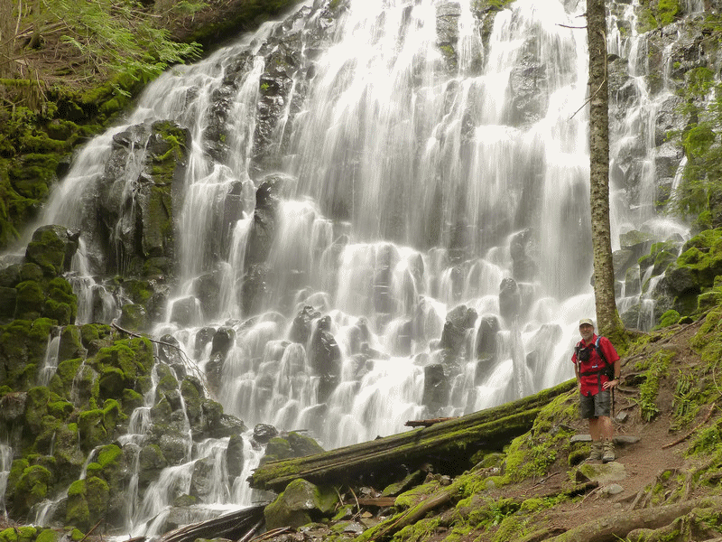
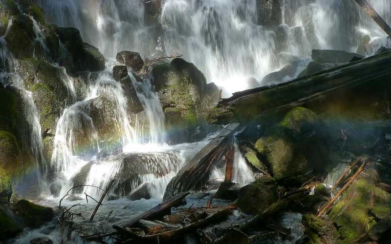
I got to the Ramona Falls trailhead just a bit past 8am, and was on the trail by 8:15 or so. There were already ten cars there, ahead of me. Chose to do the longer way to Ramona, following the little creek, rather than the Sandy. Hadn't gone that way before, and it was fun looking at all the little cascades head-on for a change. The ultimate reward was arriving at the Main Show to find I was totally alone! (Actually, there was one other guy there, and he was just about to leave. We chatted, he left, I had the falls to myself. Didn't think that happened.)
Bracketing offers advantages I hadn't realized until after download!
In the vicinity of the lower Sandy crossing, I first became aware of a presence that was to be with me all day. Search and rescue helicopters!
Their focus seemed to be on the south side, early in the day.
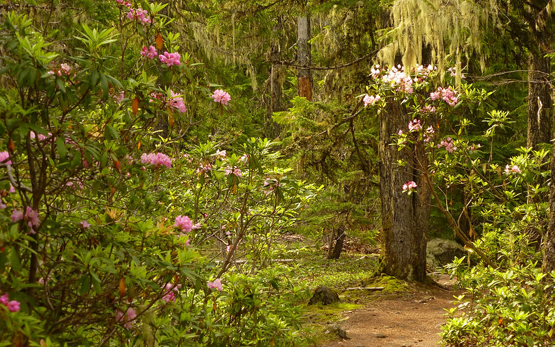
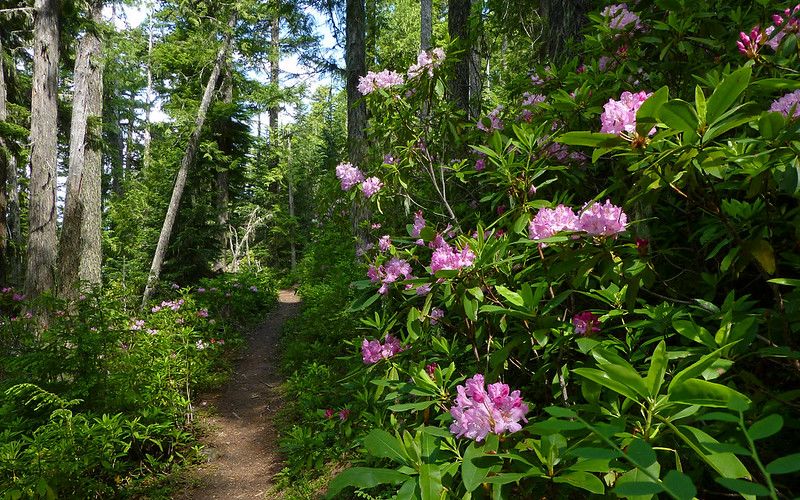
The Ramona Falls Trail (#797) is about as pleasant as they come. And today, it was simply all the more so, as it was lined nearly the entire way with blooming rhododendrons! Between that and the partly-to-mostly cloudy weather, the camera was out far more than it usually is this deep in the woods. What a treat!
Rhodies are peaking in the vicinity of Rhododendron! Best show 3000-4500' elevation, right now.
I decided it was way past time I learned how to use the full manual settings on my little camera. The conditions were just too prime, and the opportunity was before me. Lots of practice before hitting the big one...
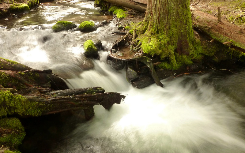
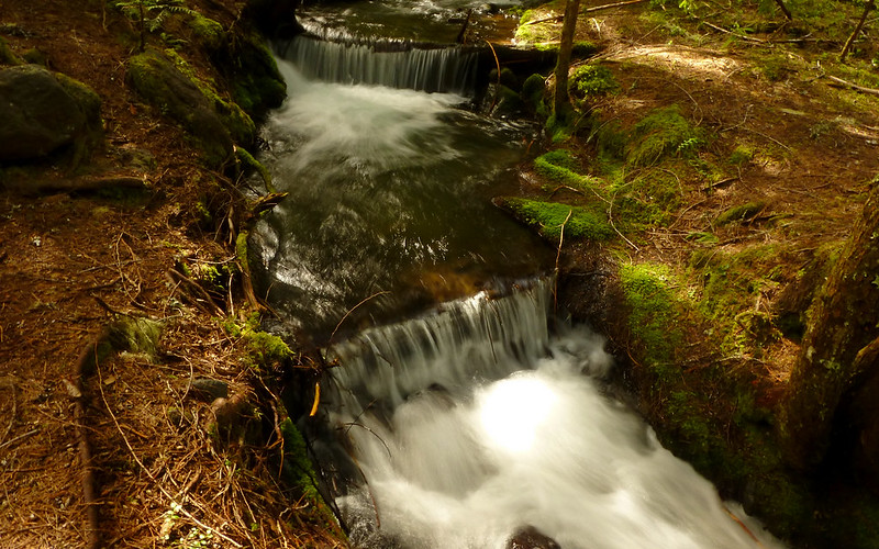
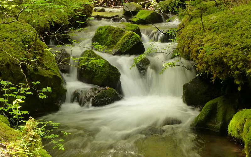
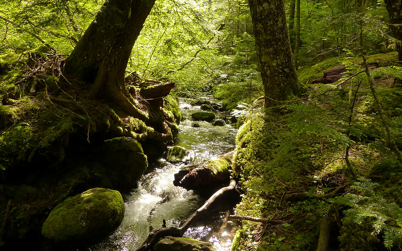
Lots of other stuff to look at along this trail, too. I also found there's a lesser-used user trail that continues along the creek, where the main one pulls away. Nice!
Sun challenging my control over contrast for a moment!
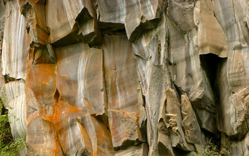
Beautifully stained rock faces on the cliffs.
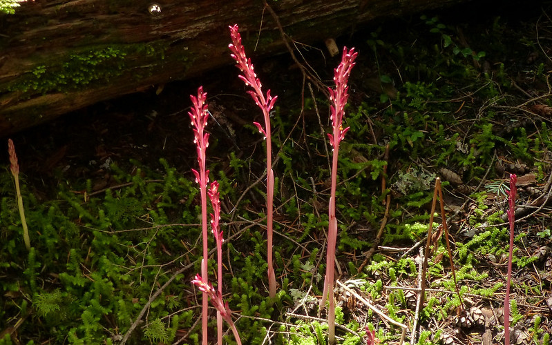
Corralroot popping up all over the place.
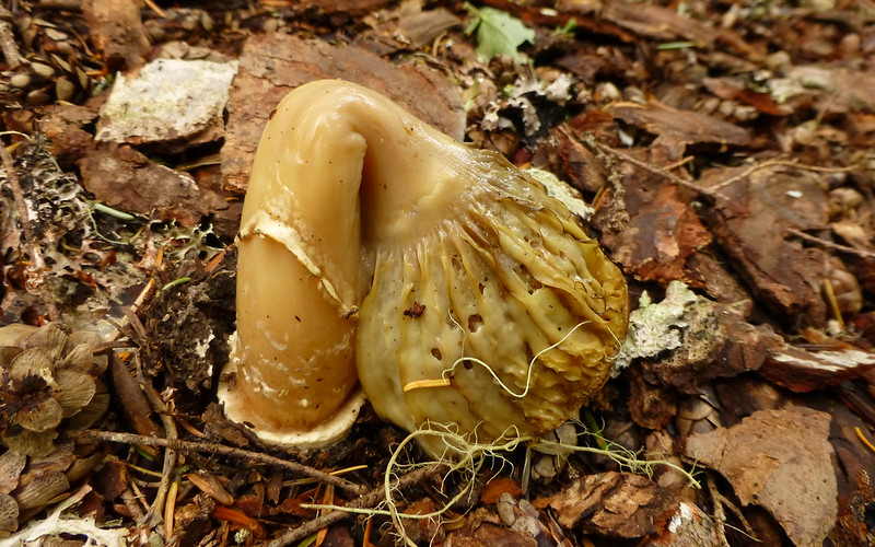
One, very sad, little failure of a mushroom!
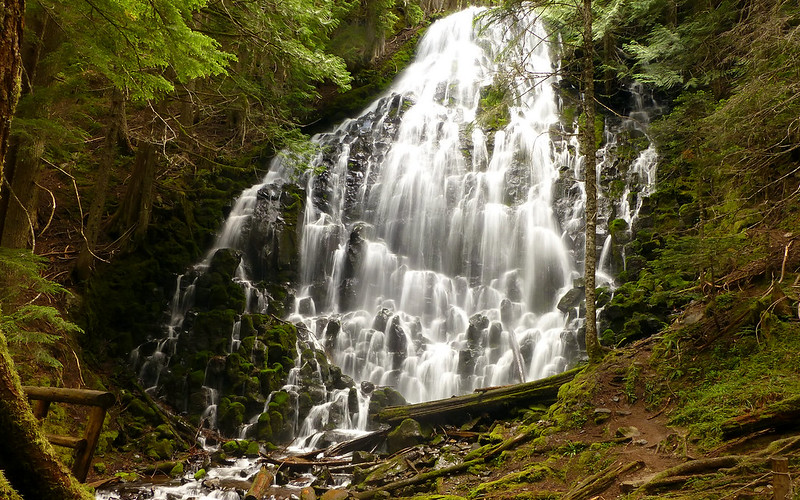
And then, I was at today's first main destination!
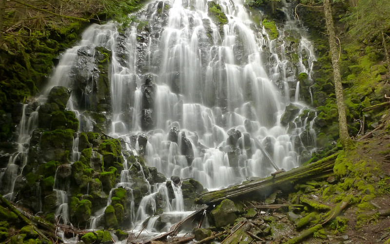
All alone. Unbelievable. 10:30am on a Saturday in late June.

No sun is best!
Superfluous caption.
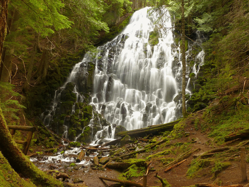
Okay, let's see that again, this time with feeling.
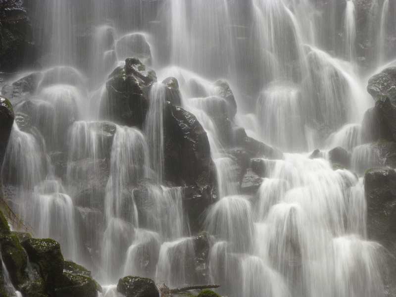
Zooming in a bit.
Continuing on, I was on a trail heretofore unexplored by me. I took the Timberline Trail (#600) northwest towards the Yocum Ridge Trail (#771), which I followed up the ridgeline as far as I could. I was frankly a little surprised at just how wooded this trail was. Very few viewpoints to speak of. I caught myself mumbling about Nesmith a time or two, and remembered happily that there was a meet-up over on McNeil that was so large it had to split into two groups, and that's why I was here and all alone.
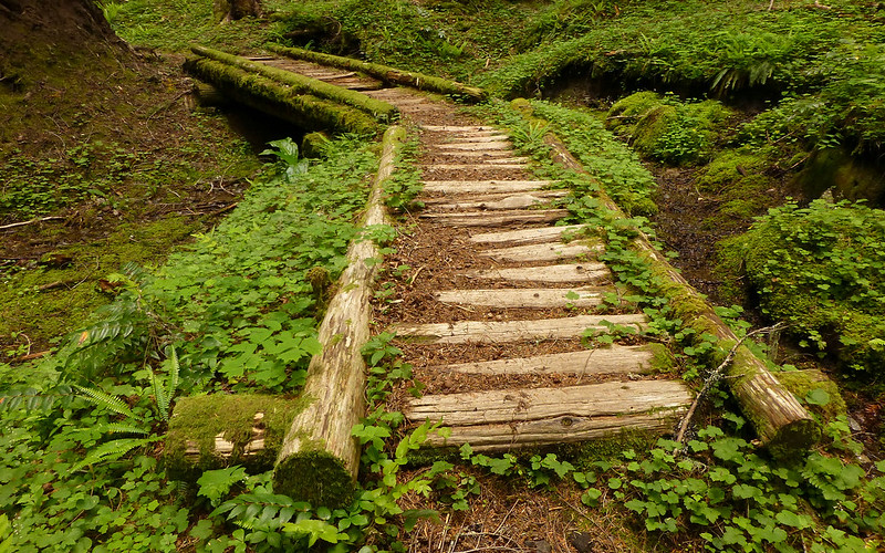
Beautiful example of how trails used to be hand-crafted.
The entire understory was blooming rhodies! Neither words nor pictures can convey their spread.
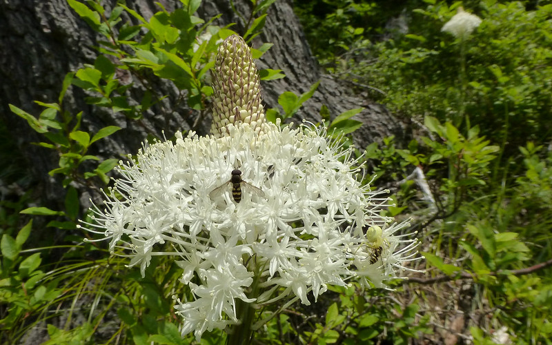
Occasional beargrass blooms, but darn occasional.
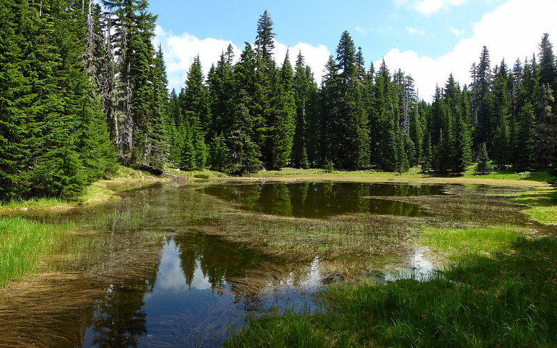
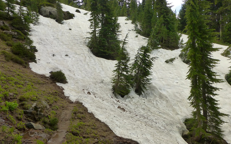
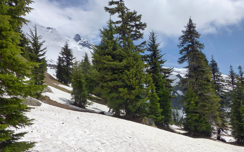
At about 5200', I came across a lovely little pond. And the first snow in the woods, too.
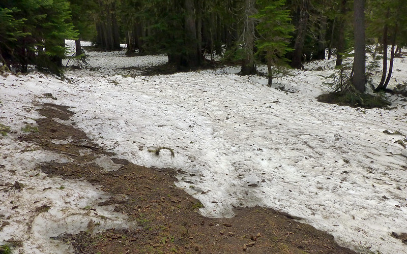
Route-finding quickly became a bit more difficult. There were no fresh tracks ahead of me.
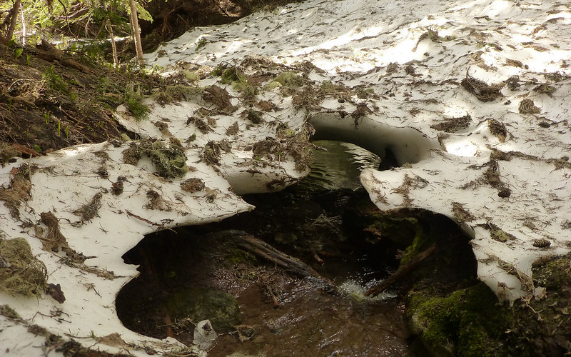
The meltwater running under the snowfields was mostly "all bark and no bite" - only fell through once. Heh...
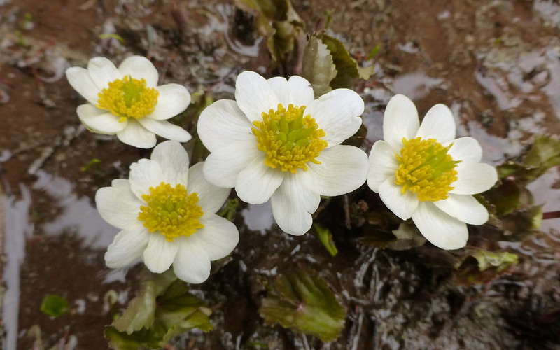
Some sort of very cool little swamp flower growing out of the meltwater.
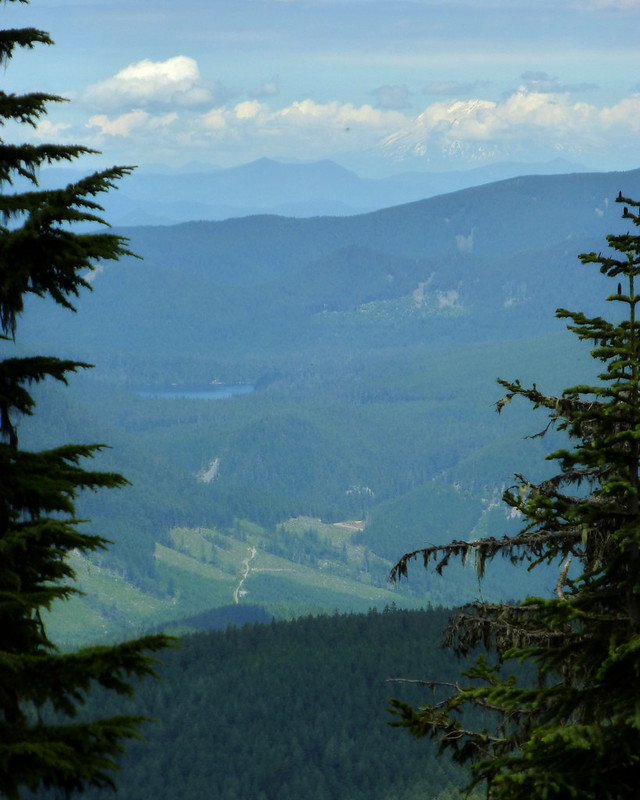
The briefest of views - Mt St Helens over Lost Lake (or is it Bull Run?).
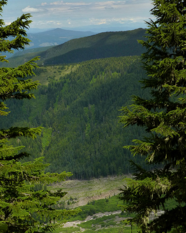
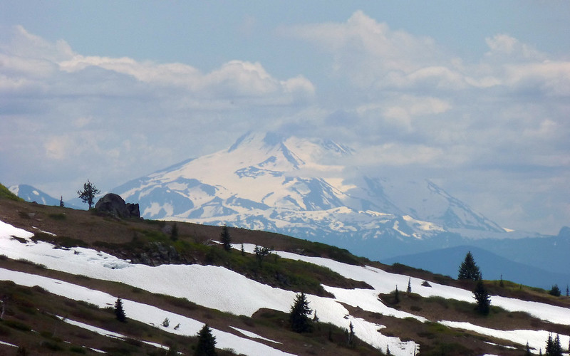
Just around the corner, Mt Adams over Muddy Fork. But wait, what's on that clearing on Bald Ridge...?
Wow! So that's where all the beargrass is!
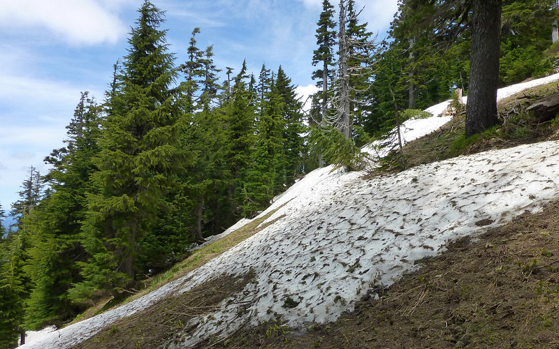
I really think it's a couple weeks early for this trip. Above 5500', much of the trail is still covered by snow. There are few signs where it should be, if you haven't been there before. And, probably more than anything else, there is little in the way of "spring flowers" up there yet! It's clearly just the tail end of winter, still.
On the way down, I met three gals who were ready to call it here. Told them this was the worst to go, before the main Sandy overlook.
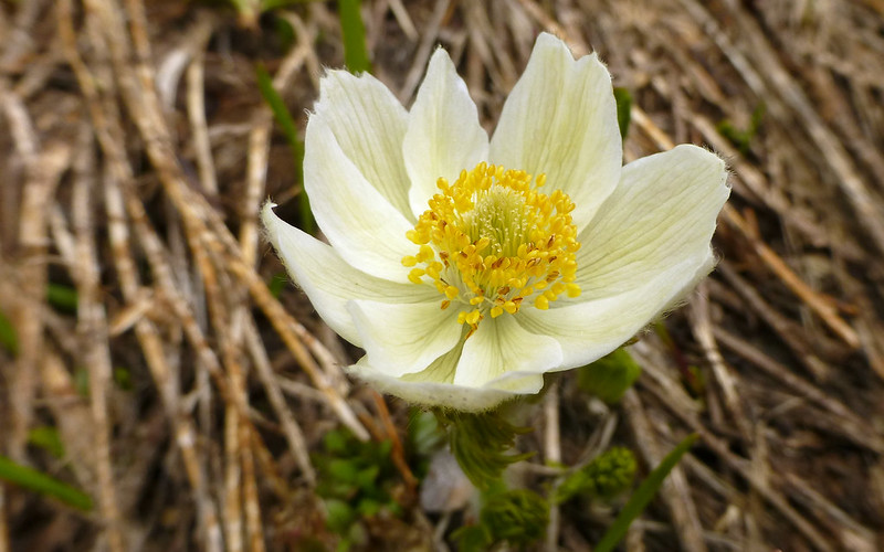
I think this is the early stage of Western Pasqueflower? There were a few of these just sprouting out.
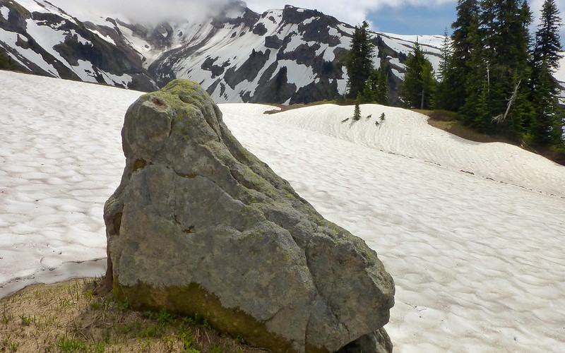
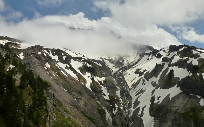
Nice rock marking the meadow at about 6000'. Great view of the Sandy here. Hood's head still in the clouds.

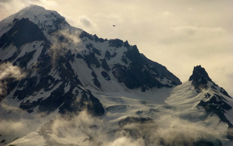
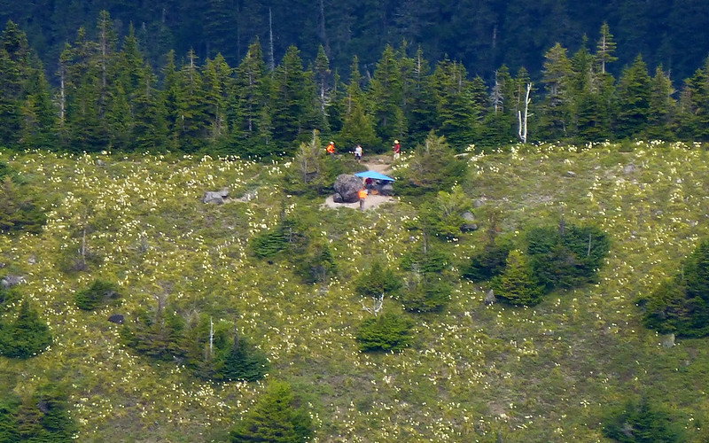
All day, I'd seen this humongo helicopter flying around up above, searching for Kinley Adams.

Around 2pm, another helicopter joined the effort.
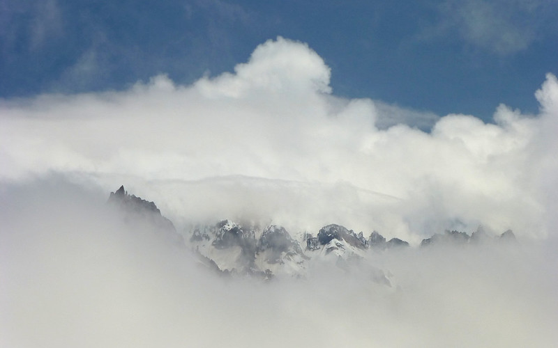
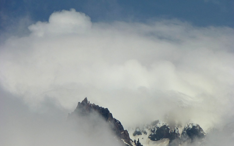
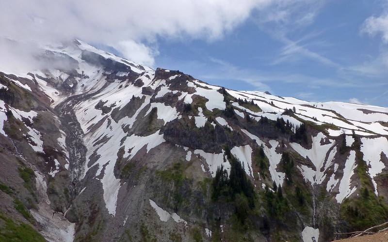
I'm sure the view from this ridge is stupendous! Unfortunately, or otherwise, the summit of Mt Hood remained steadfast in the clouds. That did offer some opportunity for interesting shots, though.
Peek-a-boo!
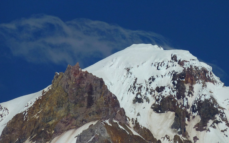
Illumination Rock
Not sure I know the name of this one.
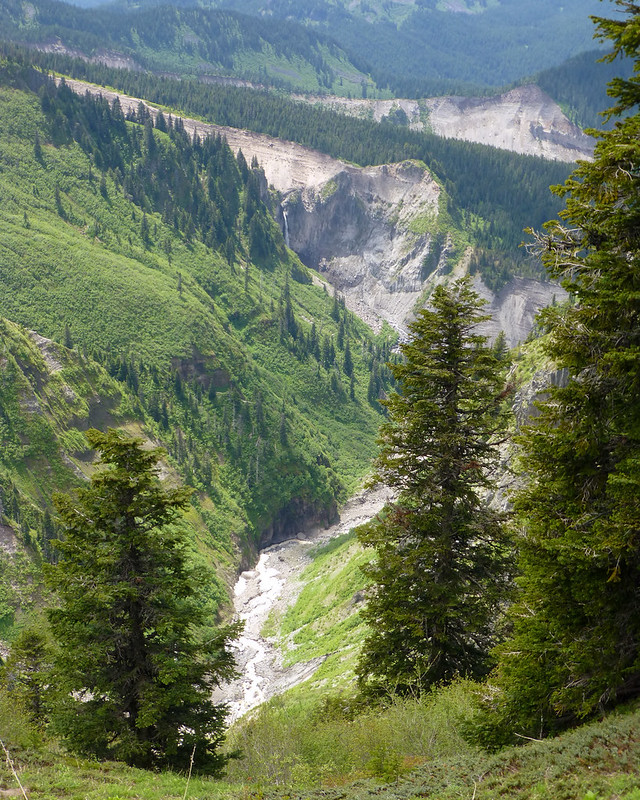
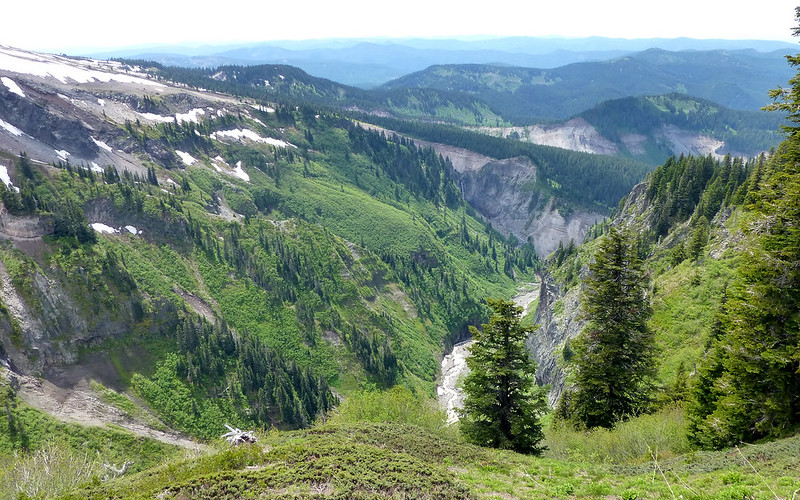
The source of the Sandy River, the Reid Glacier is in those lowest clouds.
Brown on initial discharge, the Sandy is well-named.
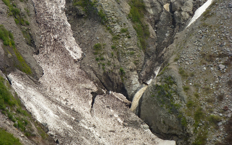
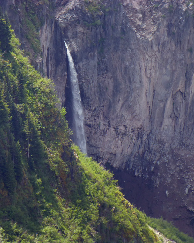
Looking around, I could see numerous waterfalls draining into the Sandy...
Paradise Park in the upper-left.
The ridgeline above Paradise that leads towards Mississippi Head.
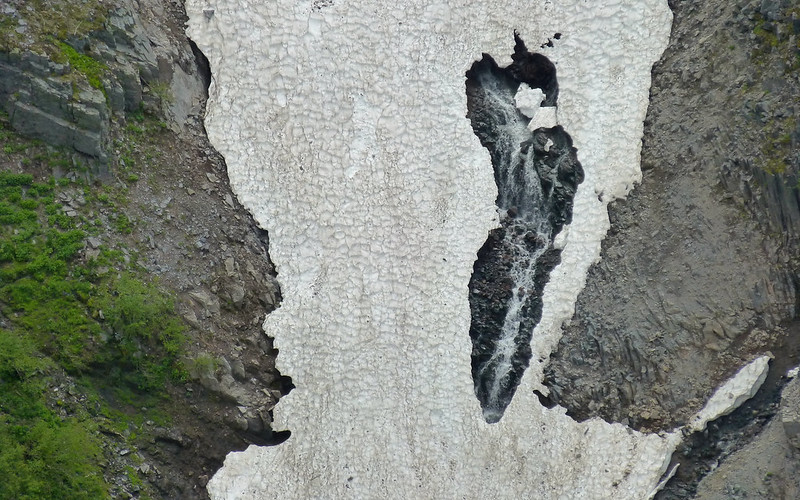
Waterfall tumbling beneath a partially melted snowfield.
After enjoying the views (and a sandwich) for a bit, it was time to move on. The air was thick with fly-like things. No bites, but irritating they were!
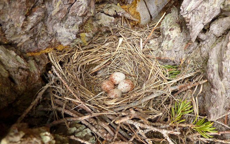
I startled a bird out of this nest, which was only 3' off the ground, as I rounded a bend.
I kept looking back, to see if the clouds had blown off. Seemed like they were ready to!
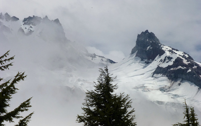
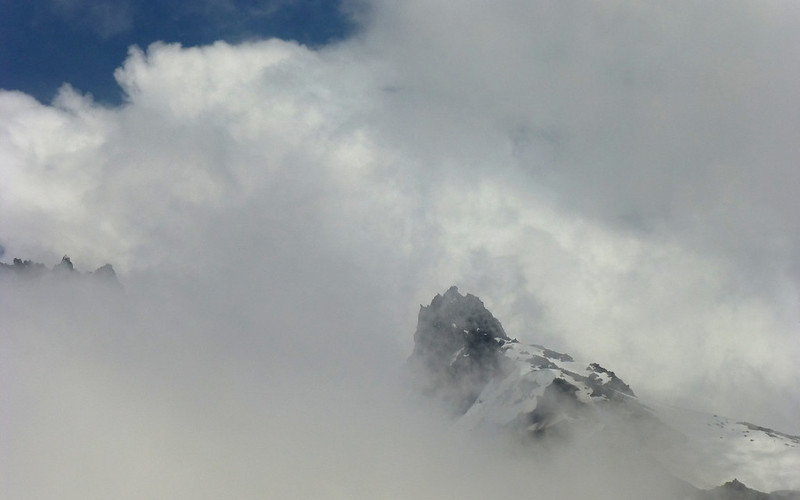
Illumination Rock was a constant presence now, and Reid Glacier was showing itself pretty well too.
Close to 6200', this is where I decided to turn around. Not fun anymore. Too slippery, steep, and isolated.
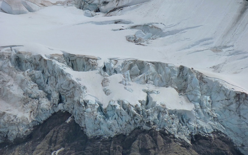
On return, Reid is definitely making a show of itself!
Not far from the overlook meadow, there's another opening that offers a view of Jefferson with Paradise Park in the foreground. (See Split Rock?)
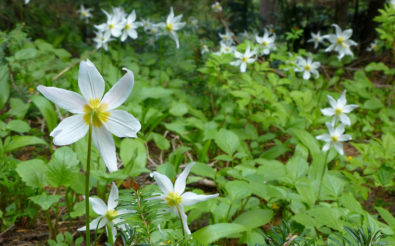
Back around 5500', the avalanche lilies were having a good ol' time.
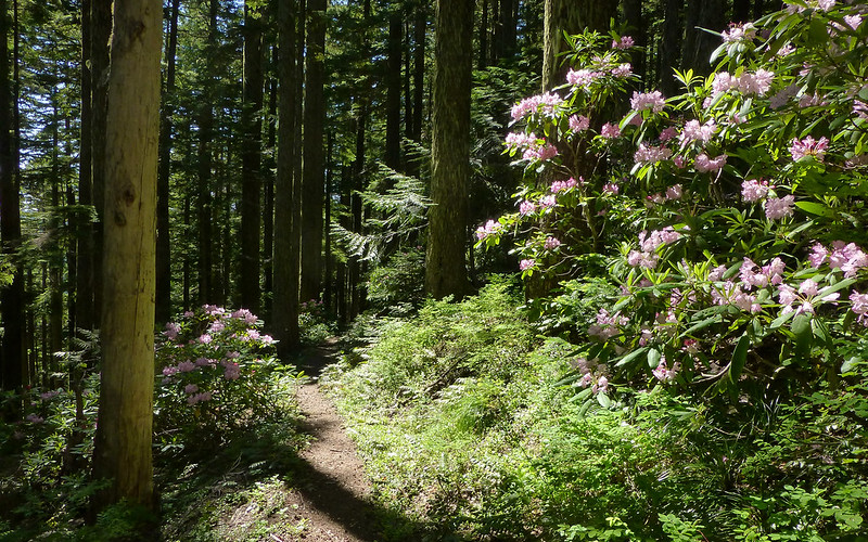
Right on schedule, at 4500', the Rhodie Show began again!
By the time I got back to Ramona Falls, there were nearly 100 people there! Holy crap... Culture shock!
It wasn't yet 5pm, so there was plenty of time to do some more exploring. I set off first to find that abandoned Sandy Guard House, and then determined to scope out the condition of the upper Sandy crossing.
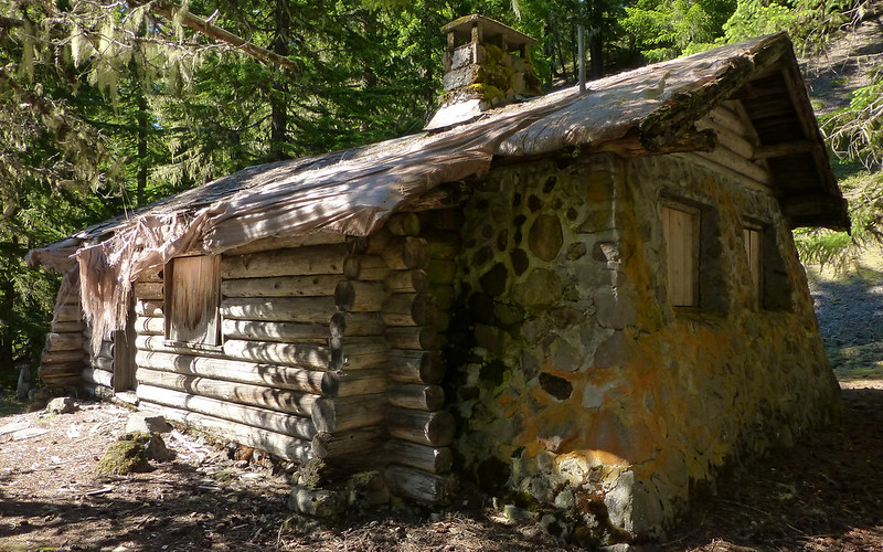
Found this, right were Cheryl said it'd be. (Thanks for that!)
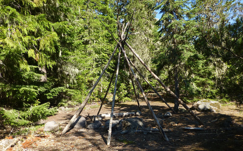
Then just sort of stumbled across this odd teepee thing, that (I think?) Jerry mentioned seeing recently.
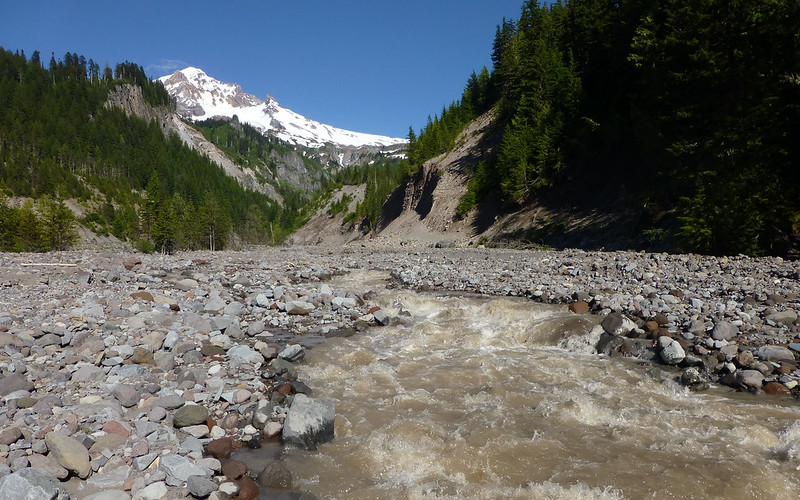
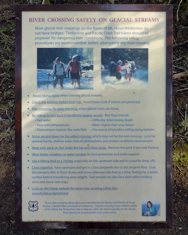
Long-story, short, there is no crossing anymore! Prepare for wetness!
Oh yeah, notice how Hood decides now is the time to show itself! (Cool cloud remnants, though!)

And yet even more waterfalls...
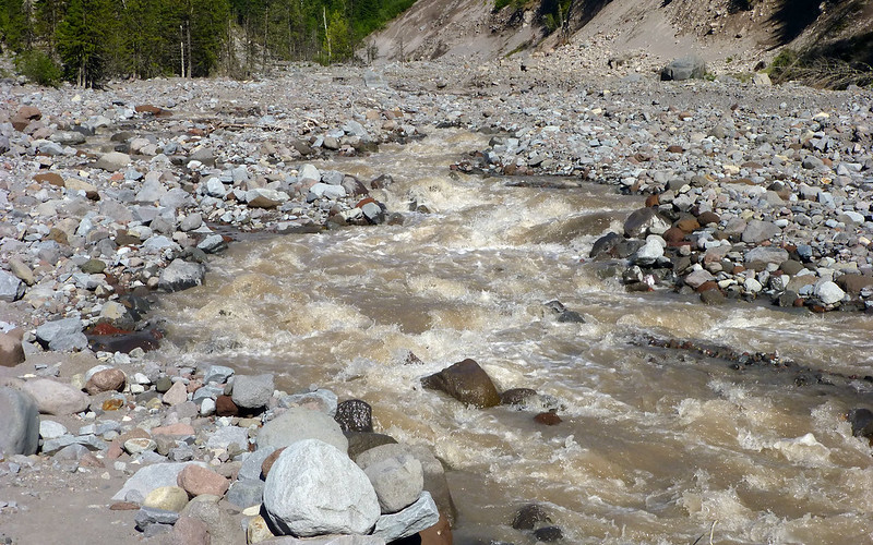
No way to know what's under there. But you could hear the boulders rolling down the riverbed.
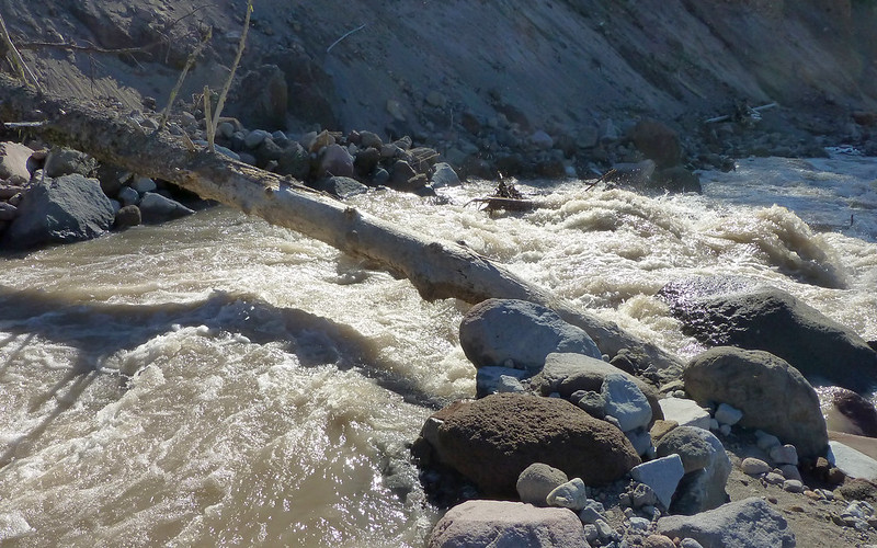
The one guy foolish enough to try this route, slid down (with a good chuck of hillside) into the river upon landing.
Damn, that's a cool hat you're wearing! Almost fit for a royal wedding!
And, well, that's it. I trekked the last four miles back to the jeep following along the Sandy. It was uneventful, my feet were getting a little tired, and the heat was starting to catch up!
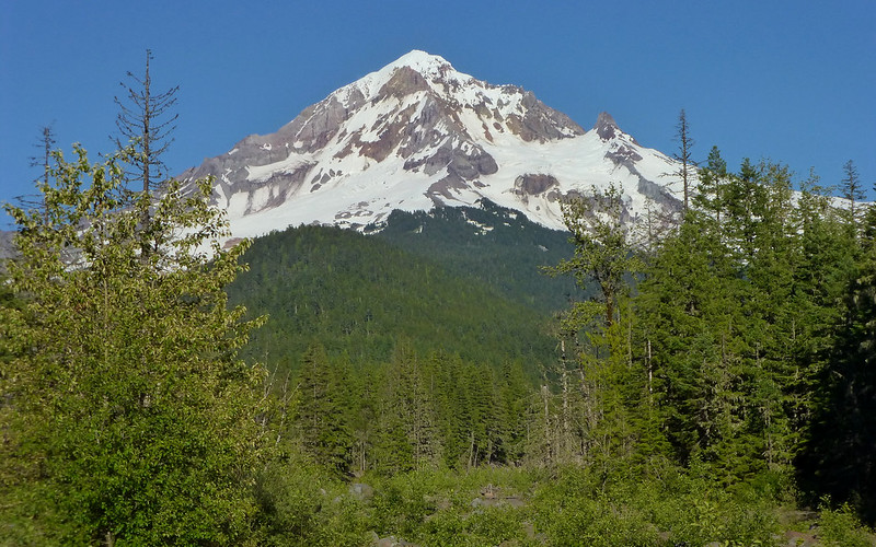
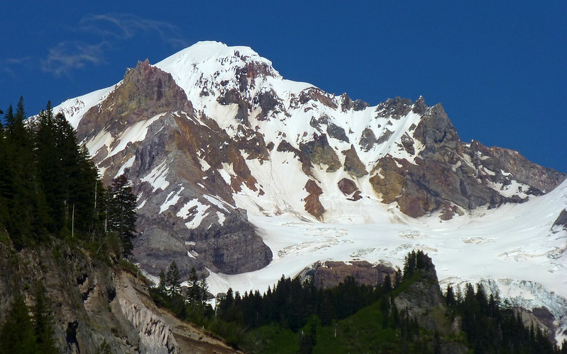
Parting shot of Hood from the lower crossing area.
All in all, I guess I hiked somewhere between 21-22 miles, with about 4300' EG. Pretty good day on the mountain, considering some of the alternatives!
http://gpsfly.org/gps_map.php?gps_id=2570&w=645&h=440
http://gpsfly.org/a/2570