
With the snow level getting lower, it was time to find a place a little closer to Portland to explore. I had been eyeing the area around Waldo Lake, including the Waldo Lake Wilderness, as a backpacking trip ever since doing this trip and this trip to the nearby southern part of the Three Sisters Wilderness.
I did my usual due diligence regarding research. The key piece of information was the FS website noting that the road to Waldo Lake was open. I also did some comparisons of elevation points in the Waldo Lake Wilderness to those of the southern portion of the Three Sisters Wilderness. This was to compare snow level conditions of previous trips nearby along with the NOAA snow level forecast map (thanks Arundodonax) to determine that the trails we (Hiker Chris and I) would be on would be mostly snow free. Were they? Read on...
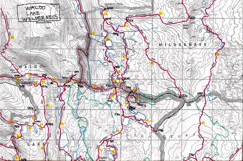
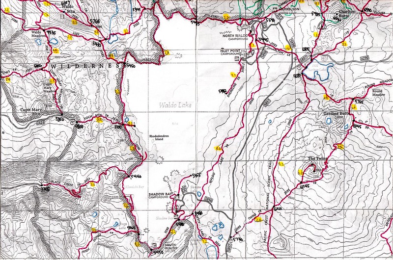
Of course, as usual, I made my own map with the laminating and all. Gotta have me a “Brad map”.
Here is the "Brad map" for Waldo Lake and the surrounding area:
Facts about Waldo Lake:
• At 427’ deep, it is the second deepest lake in Oregon.
• Named after the character in the “Where’s Waldo” books. Actually, it’s named after Oregon politician, judge and conservationist John B. Waldo.
• Its elevation is 5414’ and its surface area is just under 10 square miles.
• Steps were taken starting in 1905 to use the lake as a reservoir to irrigate the Willamette Valley. A 500’ diversion tunnel was constructed, lowering the lake by 25’. The project eventually failed and the gates were sealed in 1960.
• Headwaters of the North Fork of the Middle Fork of the Willamette River. Not to be confused with the salad fork or the dessert fork.
• Gas motor boats are banned, as are float plane landings as of this year.
• It is one of the purest lakes in the world, with clarity down to a depth of 140’.
Facts about the Waldo Lake Wilderness:
• Waldo Lake and the Waldo Lake Trail is not within the boundary of the wilderness.
• It is 37,162 acres in size.
• Established in 1984.
• Elevations range from 2800’ to 7114’ Fuji Mt.
• Contains approximately 84 miles of trails.
• The Charlton Fire swept through the area NE of Waldo Lake in 1996 burning 10,400 acres.
• The northern border of the wilderness is the southern border of the Three Sisters Wilderness.
Another well-known fact about this area is the hordes of swarming mosquitoes. And we would be going there at peak blood sucking time. I made sure to make sure my clothes had a fresh soaking of permethrin, as did Hiker Chris. DEET was brought for exposed skin. I also brought a head net so I wouldn’t have to put DEET on my face. Were these precautions enough? Continue to read on...
On Friday, June 28th, Chris and I arrived at The Twins trailhead (5740') just before 10 AM. The plan was to start out there and take a wide loop counter clockwise on the trails around the lake over the course of three days. We started out at The Twins TH because one of my goals was to take a side trip up to The Twins (7352'). I knew that we would get the best views of the trip up there. Also, we started out there because we knew we would be too tired to take that side trip on day two or three.
From the moment we stepped out of the car, the mosquitoes swarmed us. We quickly put on DEET and with our permethrin-soaked clothes protecting us, we were ready for anything. Our anit-mosquito measures appeared to be working, so we were off!
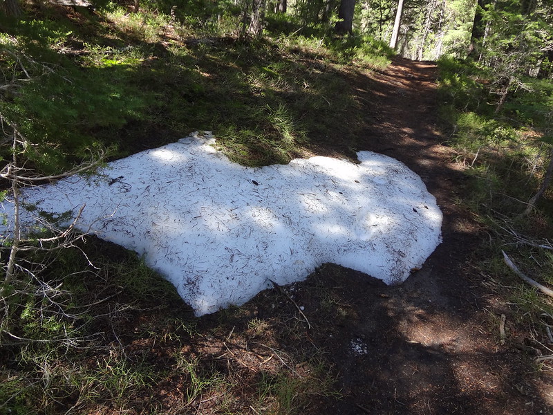
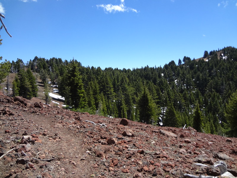
There were a few small patches of snow at first:
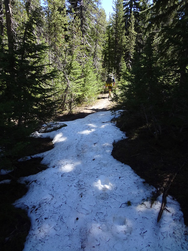
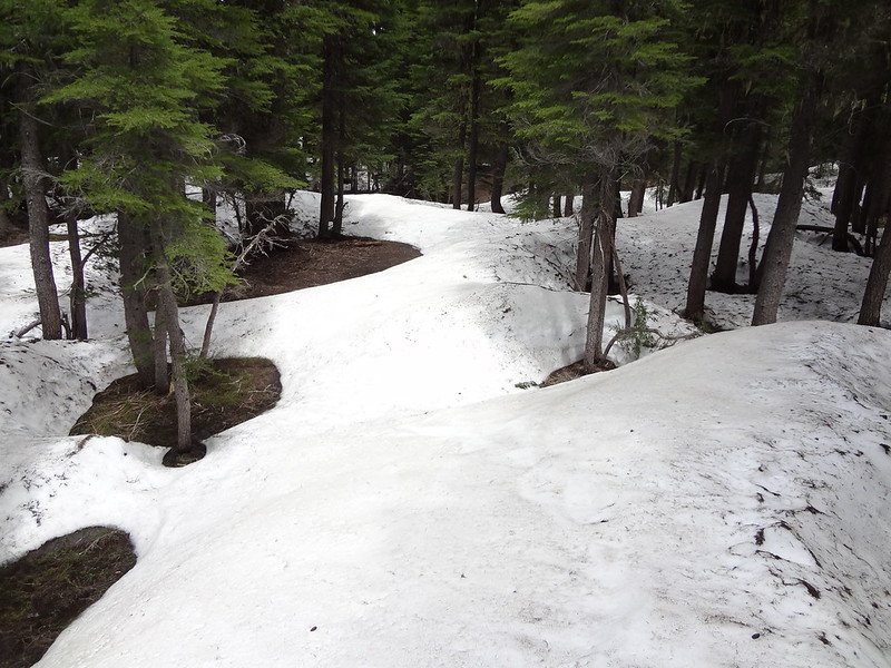
As we gained elevation the patches got larger and more frequent:
We unloaded some gear from our backpacks once at the PCT (6210') before heading up the continuation of The Twins Trail. Why carry many pounds of gear up 1100+ feet when you don't have to?
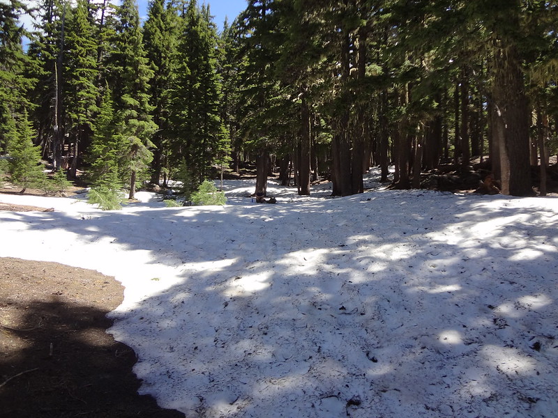
After crossing the PCT The Twins Trail was mostly covered in snow:
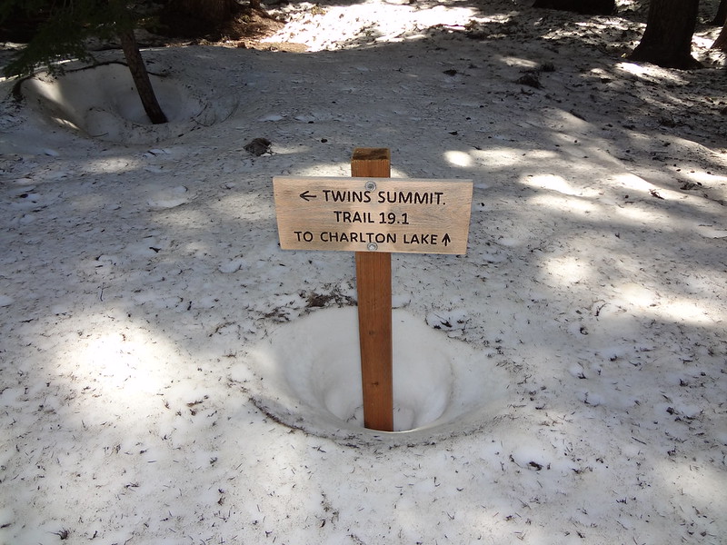
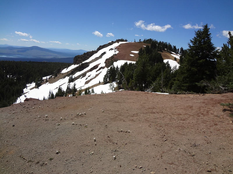
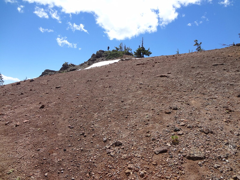
There was a lot of snow at the turnoff to the summit of The Twins:
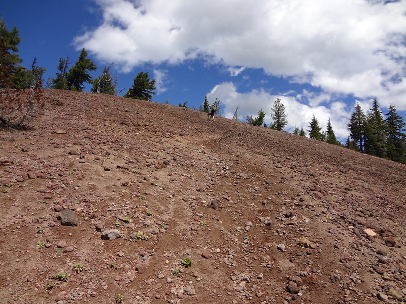
It's a steep climb up the cinder cone:
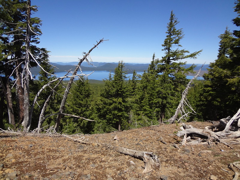
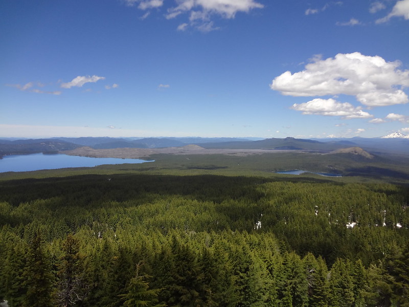
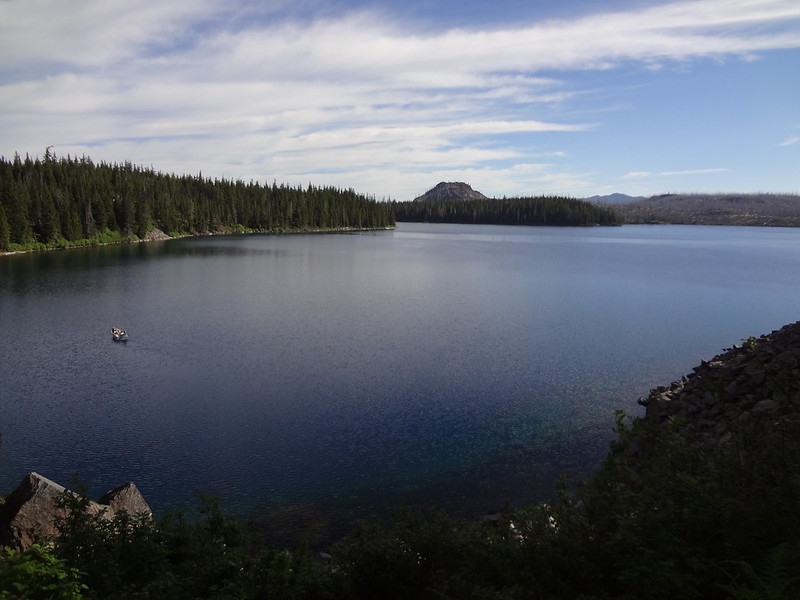
First good view of Waldo Lake:
The trail follows the ridge up to the north peak (left) then to the south peak (right):
First good view to the north of eight Cascade peaks:
View of the south peak of The Twins from the north peak:
Chris at the top of the south peak of The Twins:
The Twins 360 video:
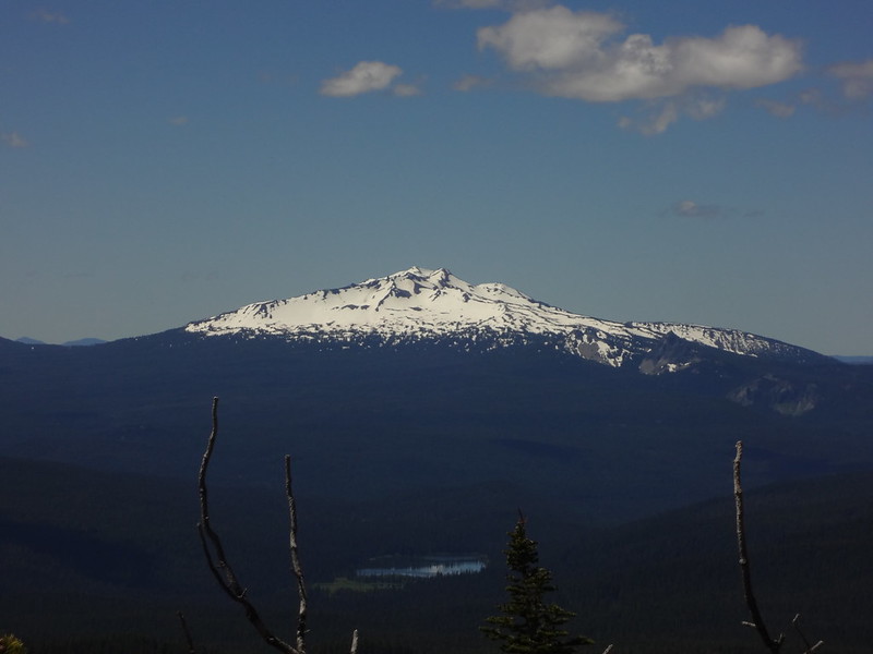
Zoomed in on Diamond Peak:
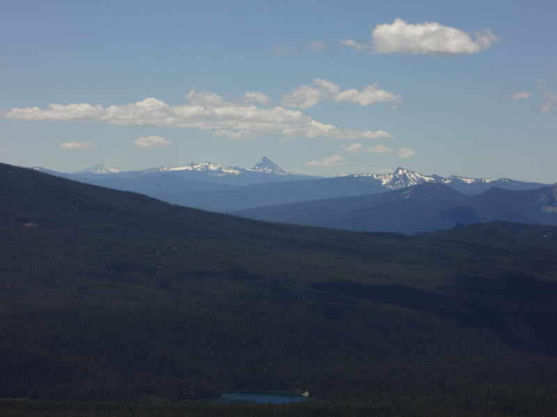
Zoomed in on Mt. Thielsen in Southern Oregon:
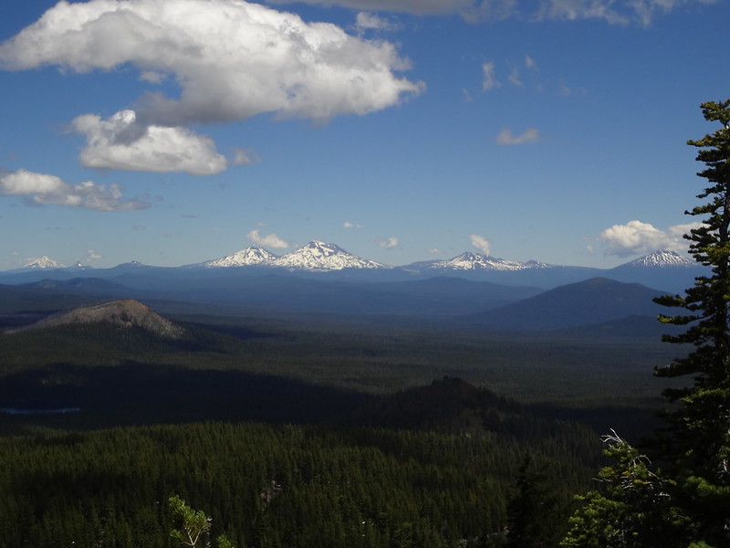
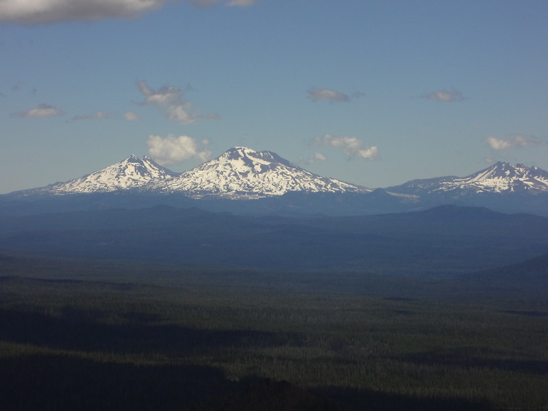
Zoomed in on the Three Sisters and Broken Top:
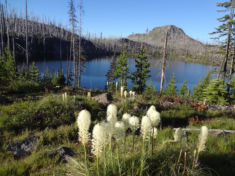
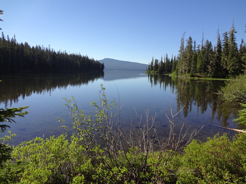
Best view of Waldo Lake from The Twins:
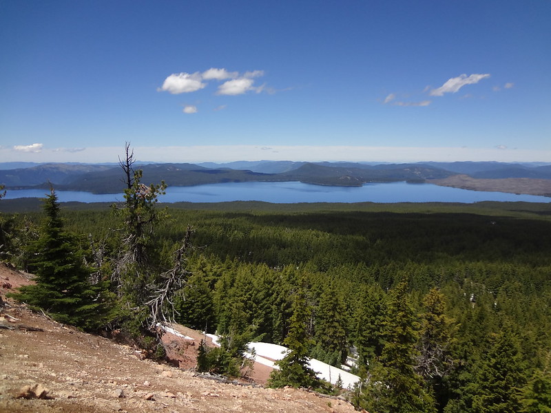
The Charlton Burn in the center of the picture:
Once we got back to the PCT and loaded up the stashed gear, we headed north on the PCT. The PCT is a very well-maintained and easy-to-hike trail... That is, unless it's still snowbound. For many long sections on the north side of The Twins, the PCT was covered in snow. Even so, we never lost the path due to our trail reading skills and often-referred-to GPS.
The PCT on the north side of The Twins (about 6200' here):
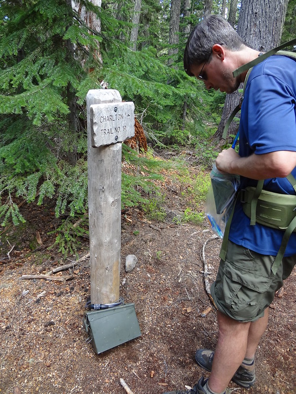
Someone left an ammo box locked to the Charlton Lake sign:
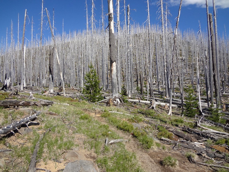
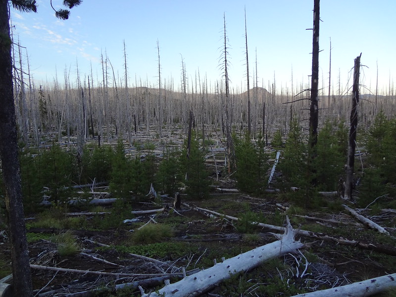
After losing some elevation, the snow finally had melted away, and then it was easy walking on the PCT the rest of the way. We had hiked about 7 miles when we got into what is known as the "Charlton Burn". The forest fire burned 10,400 acres in 1996, creating a treeless and shadeless landscape.
Looking up at Charlton Butte while hiking through the Charlton Burn area:
By the time we had gotten into the burn area it was the heat of the day. Even at 5900', it was still warm (in the low 70's). That may not seem hot, but when there is no shade and constant sun for hours, it can be very hot and dehydrating.
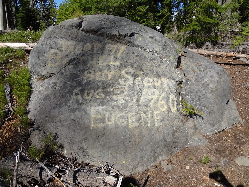
A Boy Scout troop defaced this rock in 1960 and the paint is still there:
After almost 3 miles of hiking through the burn area, we finally reached the non-burned forest that had shade. A short distance later, the PCT meets up with FR 600 near Irish and Taylor Lakes (5555'). It was there we took another one of our breaks. One thing about mosquitoes is that when you are on the move, they may still be a pest, but you can stay ahead of them and be a moving target. But when you stop, they catch up en masse, surrounding you, and move in for the "kill". It was almost comical; I would look at Chris, and I could see a cloud of mosquitoes around his head, swirling around him.
It was there that we decided to walk down the road to the Taylor Burn Guard Shack (5160') to look for a spot to pitch a tent for the night. It only looked like 2.5 miles on the map, but it ended up being well over 4 by the time we got there. As we were walking on the road, it was getting towards dusk.. which is peak mosquito activity time. There were so many of them and they were so aggressive, that they were even biting through our clothing. My theory is that even with permethrin-soaked clothing, some of them blindly stab through before the chemicals affect them. With countless thousands of bugs after us, I guess I should feel lucky that I only got bit a few times that night.
When we got to the guard station, because of the mosquitoes, I set up camp in record time. From the time I got there to the time that I was in the tent was 10 minutes. Once in the tent I was safe, but they were out there trying to get in. I stuck my tongue out at them and said, "Nyah, nyah, nyah. You can't get me." To which they said, "You have to come out sometime. We'll wait." And they did.
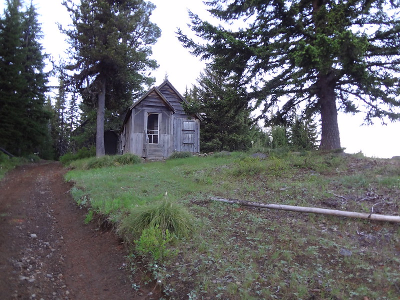
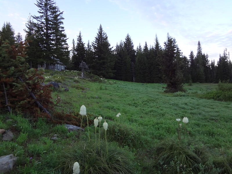
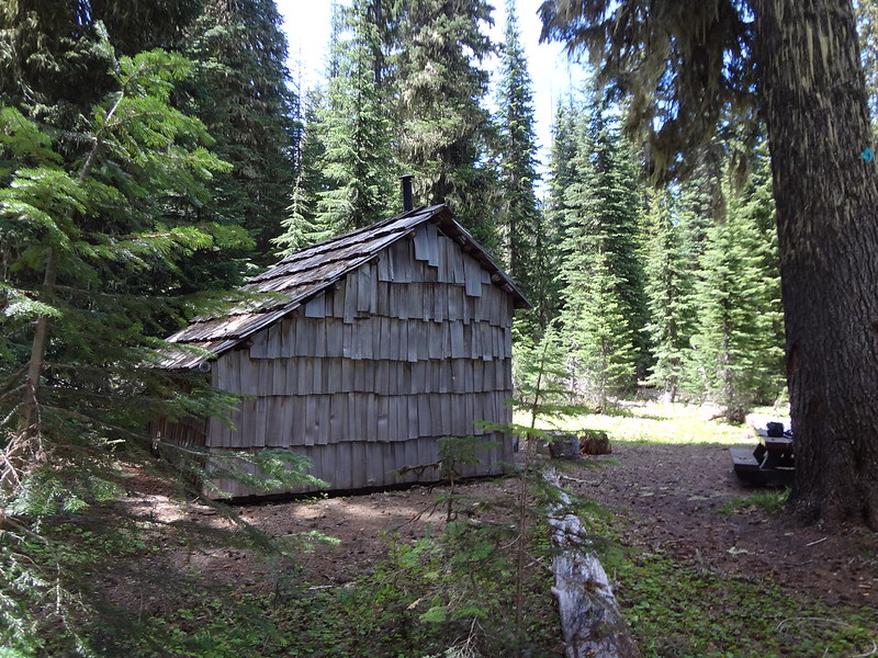
One of the two Taylor Burn guard shack buildings:
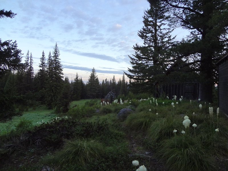
Taylor Burn guard shack and meadow:
Meadow and guard shack buildings from below:
The next morning, the mosquitoes were indeed still there. Like setting up camp the night before, packing up camp was done in record time - no more than 15 minutes. I made a suggestion to Chris, to which he readily agreed. That was to take the most direct path around Waldo Lake and leave that day. For some reason, the song by the Animals called "We Gotta Get out of This Place" kept running through my head.
The most direct path was the Wahanna Trail, which ran through the Charlton Burn for 4 miles before reaching the Waldo Lake Trail. Taking this route would not enable us to visit some of the lake chains, meadows and Waldo Mountain. Oh well, maybe some other time. Fortunately, since we were on the trail by 5:30 AM, and because it was very early in the day, going through the burn area was not as brutal as the day before. The trail was easy to follow, but not maintained very well, with many downed logs.
Going back into the Charlton Burn:
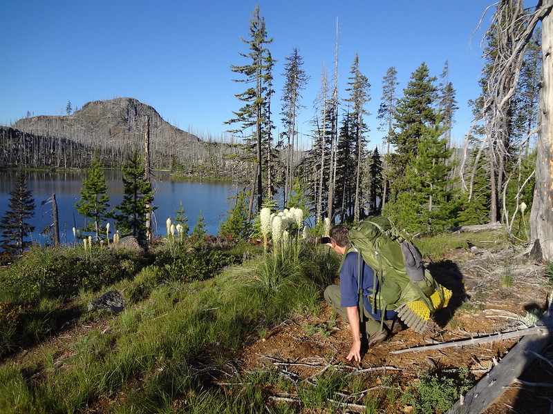
Bear grass flowers in the Charlton Burn:
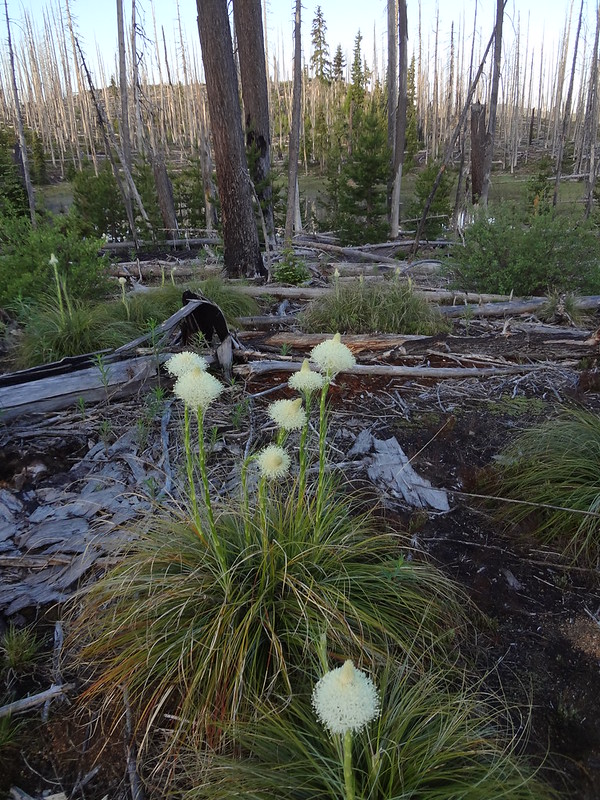
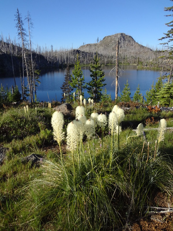
Rigdon Butte, Kiwa Lake and bear grass flowers:
Chris getting the same shot:
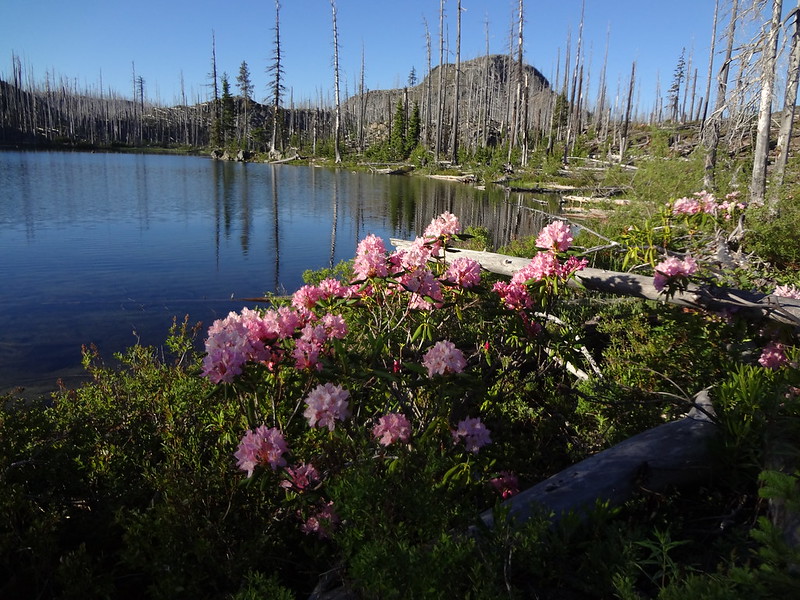
Rigdon Butte, Kiwa Lake and Rhoadies:
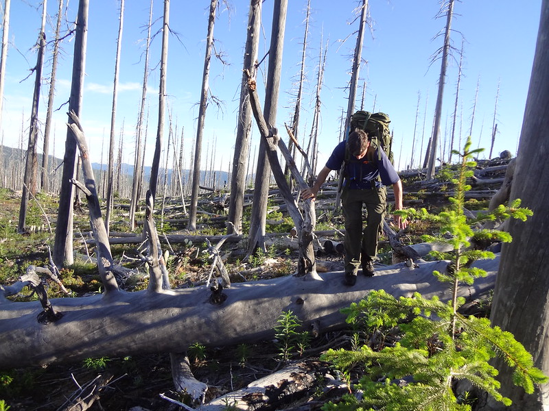
The Wahanna Trail had a lot of blowdown to climb over, around and under:
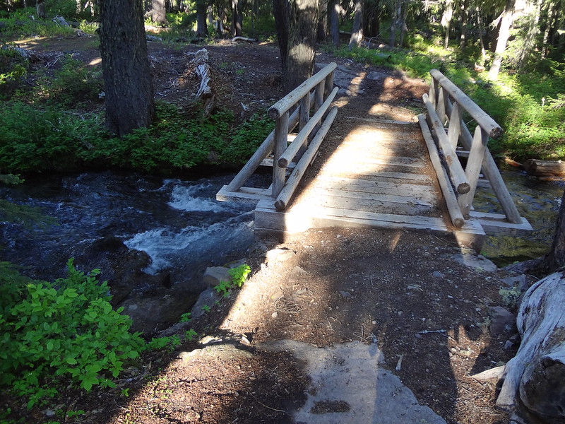
Bridge over the outflow of Waldo Lake, which is the source of the North Fork of the Middle Fork Willamette River:
Once at the Waldo Lake Trail, it was a simple matter of going another 13-14 miles over rolling terrain. The trail stays mostly close to the lake, but does not afford many views of the lake. But there were views and the scenery was lovely. Best yet, the trail was very well maintained. Of course, the mosquitoes harassed us the entire way.
Our first view of Waldo Lake once we got on the Waldo Lake Trail:
Waldo Lake with Rigdon Butte in the background:
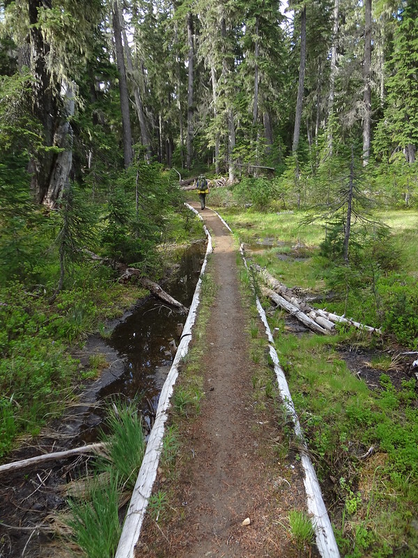
The Waldo Lake Trail was very well maintained, even through marshy areas:
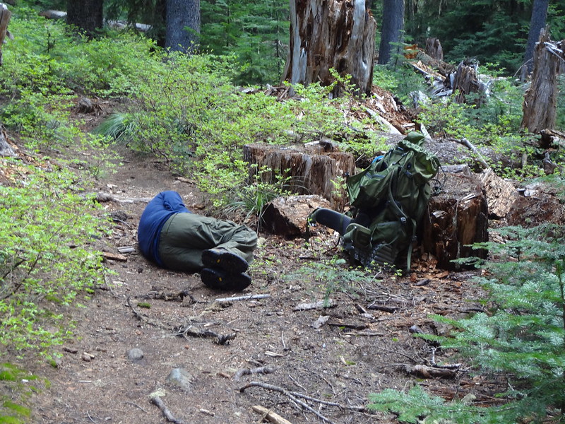
Chris catching some zzz's on one of our many rest breaks:
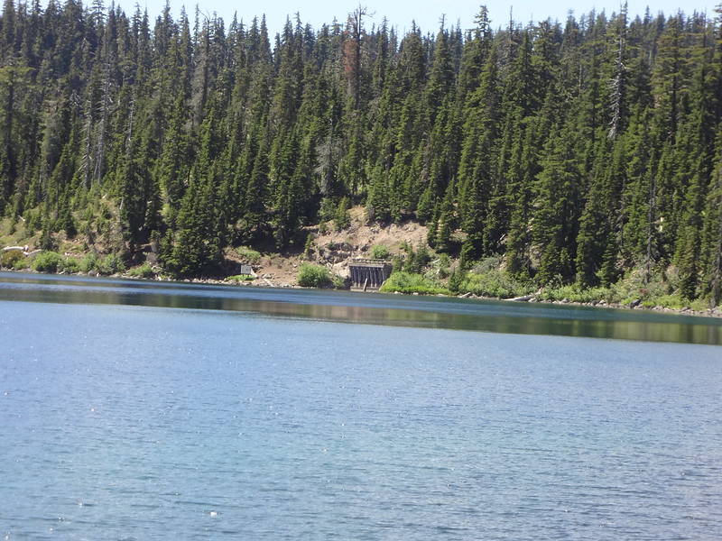
Gates to the diversion tunnel sealed in 1960:
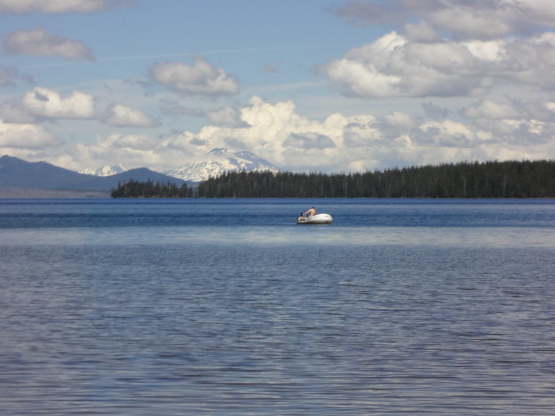
Great view of the Three Sisters while fishing on Waldo Lake:
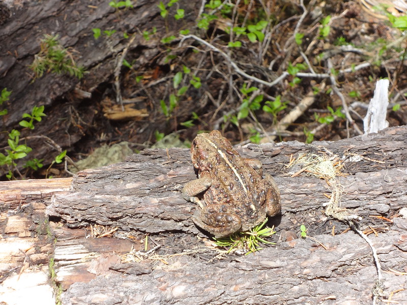
Big toad or bullfrog along the Waldo Lake Trail:
The South Waldo Lake shelter near Shadow Bay:
Back at the car at 3:30 PM, it was time to head home.
Final comments:
•No mosquitoes on The Twins. We should have camped up there.
•High elevation point on the PCT was 6600'.
•20+ mosquito bites, mostly on my shoulders and hands. I keep finding new ones not previously discovered.
•We saw only 8 people the entire trip. Probably because most people are not crazy enough to venture into a mosquito hell.
•Stats: Day 1 - 20.9 miles and 2803' EG, Day 2 - 18.2 miles and 2018' EG, Total 39.1 miles and 4821' EG.
Link to all the pics:
http://www.flickr.com/photos/54959080@N ... 407460671/
Hike on my friends,
Brad


