
During the dark and rainy months of late fall and winter, I like to daydream about places to go backpacking once the weather improves and snow in the upper elevations melt. Sometimes I pull out my maps, which if stacked would be a foot and a half tall, and look for places with potential. Other times I re-read some of my favorite trip reports written by other Portland Hiker members. Still other times I look just beyond the edges of previous trips where I had wondered, “Where do those trails go?” or “What’s on the other side of that ridge?”
In July of 2011, my wife, Dawn, and I did some car camping at the edge of the North Fork John Day Wilderness (NFJDW). That trip piqued my interest in that area, so I made a mental note and filed it in the back of my mind. Early this year I began researching the NFJDW in preparation for a visit. While I could find basic information, it was difficult to get details, such as trail distances, trail conditions, campsites, etc.
Here is some basic information about the NFJDW:
• Located in the southern Blue Mountains of NE Oregon.
• Created in 1984 and is 121,800 acres in four separate units. The main unit is 85,000 acres. The Greenhorn unit to the south, Tower Mountain unit to the north and Baldy Creek unit to the east are the other units. 6,000 acres of the Vinegar Hill-Indian Rock Scenic Area are also considered part of the wilderness.
• The NFJD River is the third longest free-flowing (undammed) river in the lower 48 (according to some sources). 39 miles of the river are designated wild and scenic.
• The NFJD River drainage had much mining activity during the mid-1800's. Old mines, log cabins, dredge ditches and other remnants of mining activity are still visible. It is estimated that $10 million in gold and silver were extracted from the area.
• Wildlife include elk, bighorn sheep, whitetail and mule deer, black bear, cougar, coyote, rattlesnakes, Chinook salmon and steelhead trout. Wolf have also been sighted in the area.
• Contains over 125 miles of hiking trails.
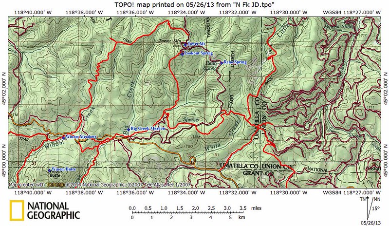
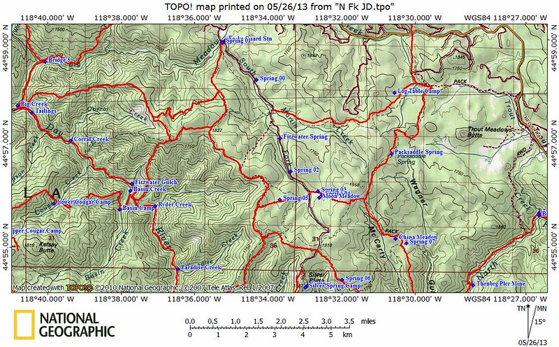
What I could not find was a comprehensive map of all the trails and geographical features. So once again, I put my cartographer skills to use and made my own map. Using the route tool on my NatGeo software, I hand traced lines over all the trails, saving and naming each one. I also created and named many waypoints, including campsites and springs. That was done for all trails and noteworthy points in the vicinity of the NFJDW and then saved as a .tpo file. I printed out the NatGeo map with the trails and waypoints, which I then wrote in trail mileage and elevation points garnered from NatGeo. As per usual when I make a map, I laminated both sides with clear 2" packing tape to waterproof and tearproof it.
Here are images of the maps I made:
Another problem I had was that the mapset I usually use on my GPS, NW Topo, does not include the part Oregon with the entire NFJDW. So I had to find another source for a topo mapset. I found a place called GPS Depot that had a topo file of Oregon that worked with my Garmin GPS. However, even though it had roads, contour lines and streams, it did not have trails. So using GPS Babel (thanks Koda), I converted the .tpo file of the trails I traced on NatGeo to an XML GPX file, which I then loaded to my GPS. Once the trails were enabled, they all appeared the GPS overlayed on top of the mapset from GPS Depot. The waypoints were also loaded to my GPS.
I had never gone to this extreme to create a map and get the data onto my GPS. It took me so many hours that I created my own "how to" tutorial in case I ever have to do it again. After all that, it turned out that Chris already had a mapset with the NFDJW area with trails. I gotta find out where he got his mapset. However, he did not have all the trails - including one we would need.
On Thursday, June 20th Hiker Chris and I left Portland bright and early, headed for the NFJD River trailhead at Big Creek Campground. To get there, take I-84 east to Pendleton, then south on Hwy 395 to just before Dale, turn left (east) at the NFJD River on FR55 to FR5506 all the way until the road ends. It's almost exactly a 5 hour drive from Portland. Note to Retired Jerry: 5 hours may seem far away from Portland, but sometimes it's worth the time and effort
Like our Wenaha-Tucannon backpacking trip in April, it was undecided what route we would take until we were on the trail. The general idea was to follow the river upstream for a while, possibly make camp on one of the river bars the first night, then take one of the ridge trails up into the higher elevations in the Blue Mountains. From there, there would be many options.
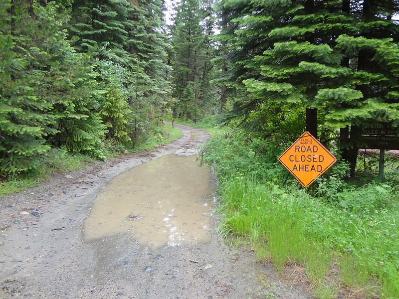
After driving down FR5506, just after Oriental Campground was a sign warning that the road ahead was closed due to flood damage. We briefly considered seeing how far we could get in my Subaru, then thought better of it and parked in a pullout. It was a good decision, as my car could not have gotten much further. It ended up being a 3.5 hike one-way to Big Creek Campground (3370') and the start of the NFJDR Trail.
Road closed:
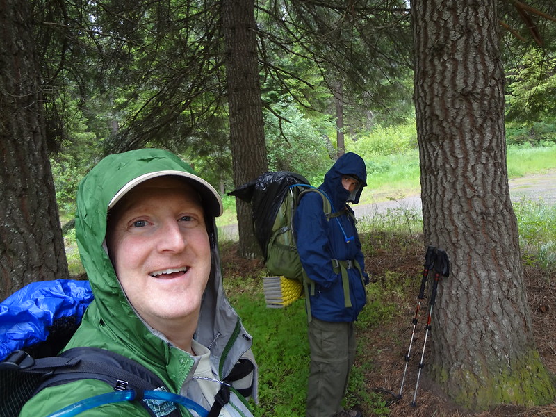
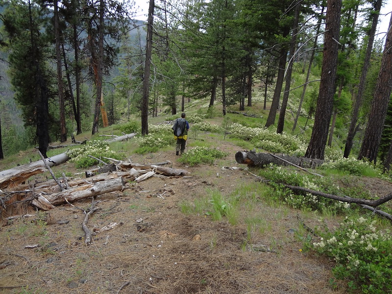
Chris and Brad ready to go:
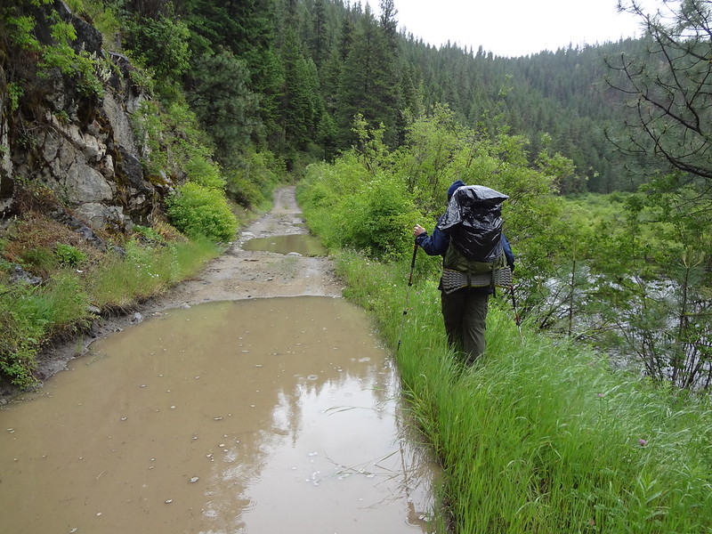
Walking along the road:
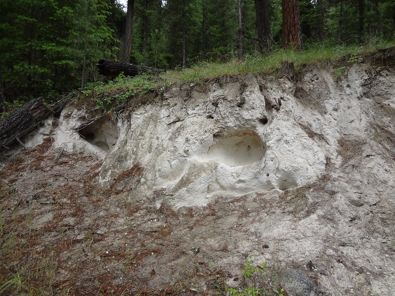
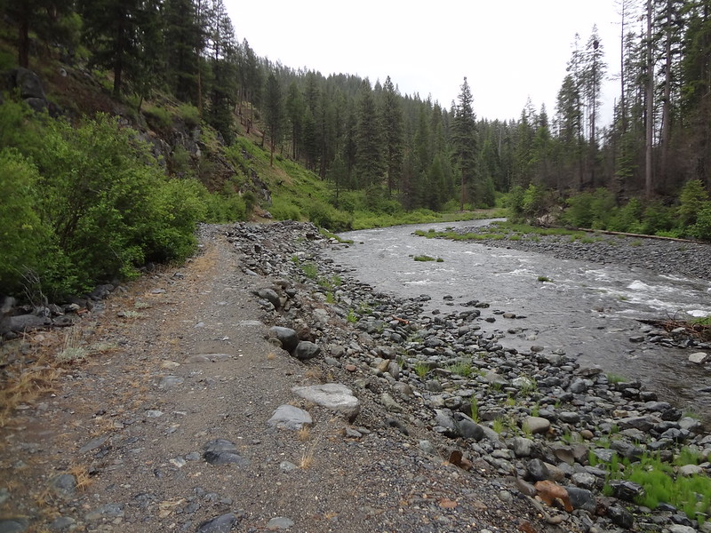
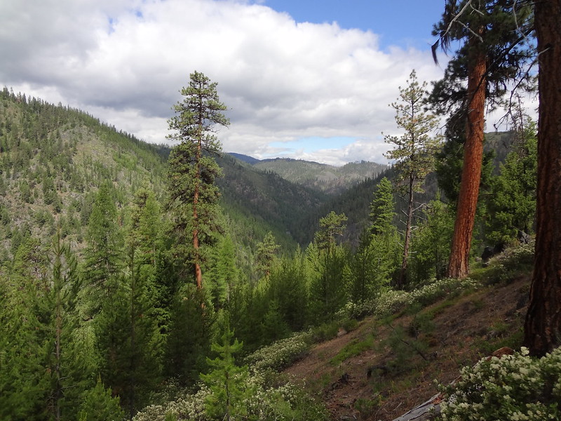
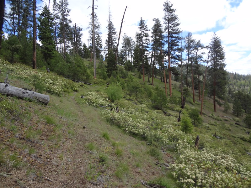
Hillside along the road:
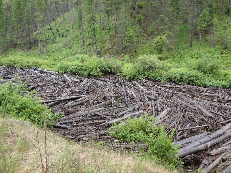
Giant logjam in a side channel of the river:
The road really was washed out:
Bridge going over Big Creek:
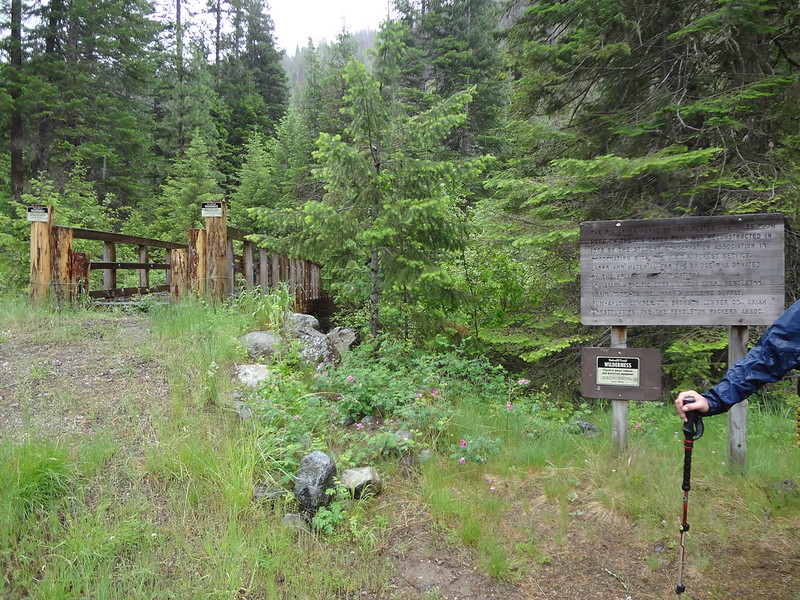
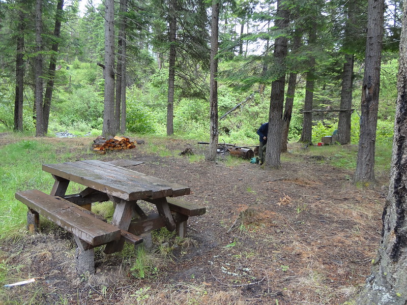
Big Creek Campground near the bridge:
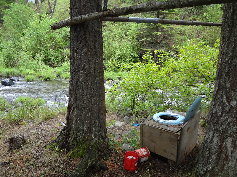
The campsite has a latrine with a view:
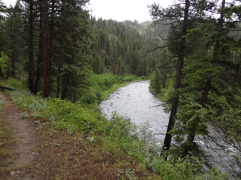
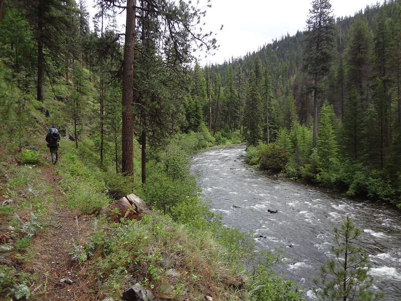
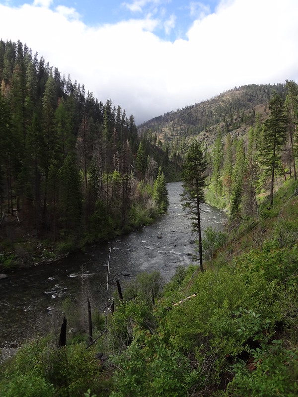
The NFJDR Trail followed very close to the river the entire way. This is unlike the Rogue River Trail and Wenaha River Trail that many times is way above the river or hundreds of feet away. The trail also seemed to follow an old roadbed for many miles, probably a remnant of mining activity.
The start of the NFJDR Trail:
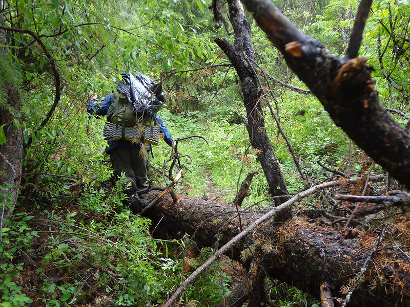
There was some blowdown along the trail:
The trail was not far from the river the entire way:
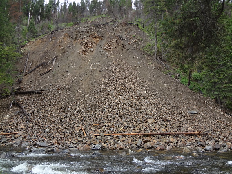
Recent landslide that went into the river:
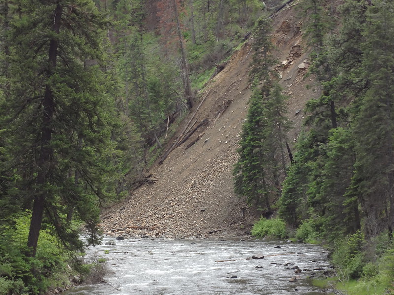
Another view of the landslide:
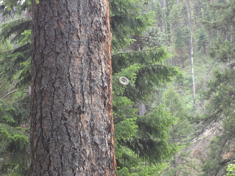
Ceramic deely-bobs for lines that used to go to a lookout:
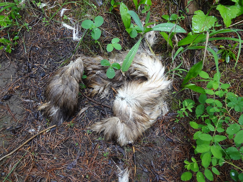
Something met its fate here:
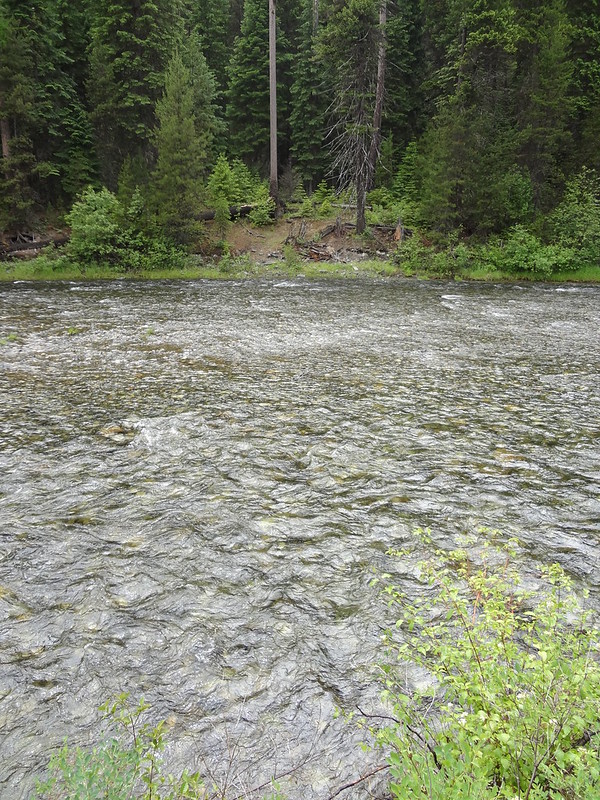
Believe it or not this is a crossing to get to the Cougar Creek Trail on the other side:
For the most part the condition of the NFJDR Trail was fair. It was always discernible, but overgrown in many places, sometimes hiding holes, logs and rocks. There weren't too many blowdown logs, and those that were there were easily negotiable.
The trail was overgrown in many places:
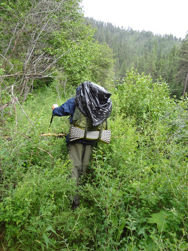
From the start of the hike at noon and throughout the day, it rained lightly most of the time. It was not windy or cold, so it was bearable. Neither of us brought rain pants, so eventually our pants wicked the water into our socks and shoes. Every so often it would stop raining and the sun would come out for the briefest moment, as if teasing us.
Blue skies momentarily teasing us:
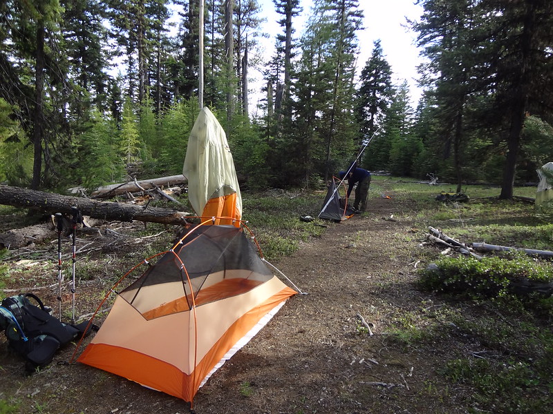
Normally when Chris and I go backpacking, we hike until close to dusk. This time, due to having soaking wet feet, we looked for a campsite much earlier than usual. We wanted to get a fire going to dry off our shoes and socks. Just as we found a site, the rain stopped. Yeeeeaaaaahhhhhhhhh!!!!
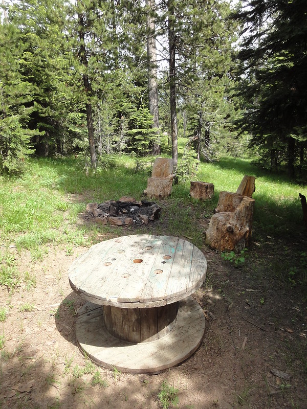
Even though it had been raining all day, there was enough dry material under the trees to get a fire going. There was even an old recliner at the campsite that we dried out next to the fire. Now that's a recliner hike!
The campsite had its own recliner:
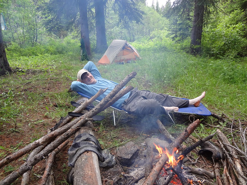
It took a couple of hours for our shoes and socks to dry. It was a delicate balance of keeping them close enough to the fire to dry them out, but not melt them.
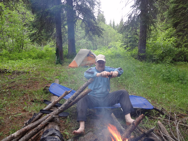
Wringing out my socks before roasting them over the fire:
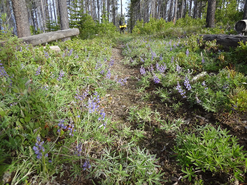
The next morning the weather was dry, with partly sunny skies. Even so, because of the previous day's rain and the dew, the vegetation was still very wet. We hiked carefully, so as to not get wet again, often times whacking the water off the plants. It slowed us down considerably, but we remained dry. Eventually as the day wore on, the water on the plants evaporated. It was nice to finally be able to plow though the branches and grass without worrying about getting wet.
Chris getting water at Wind Rock campsite:
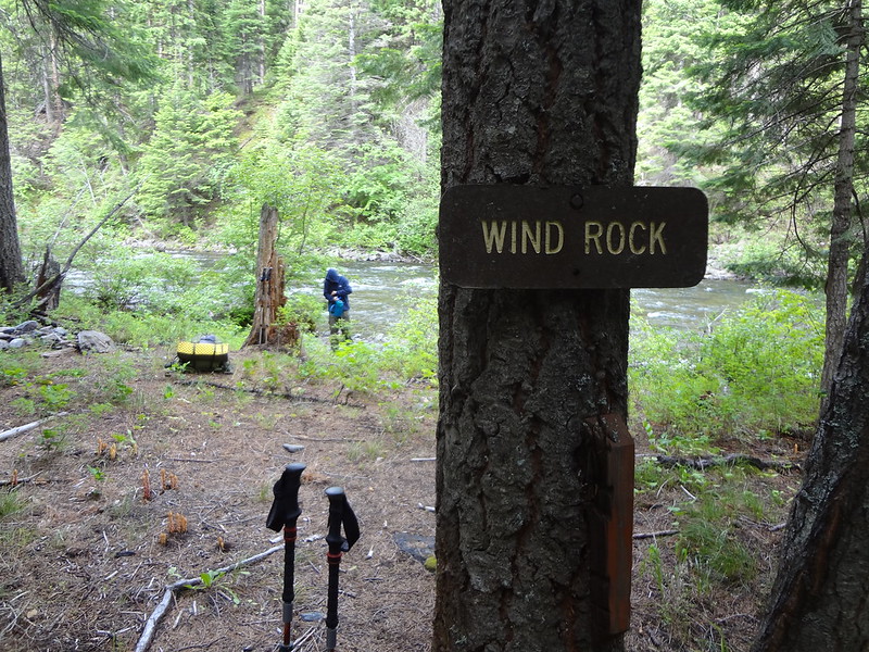
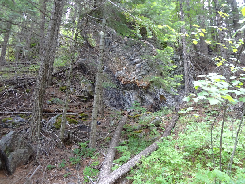
Wind Rock may not look like much, but it reflects the river sound perfectly:
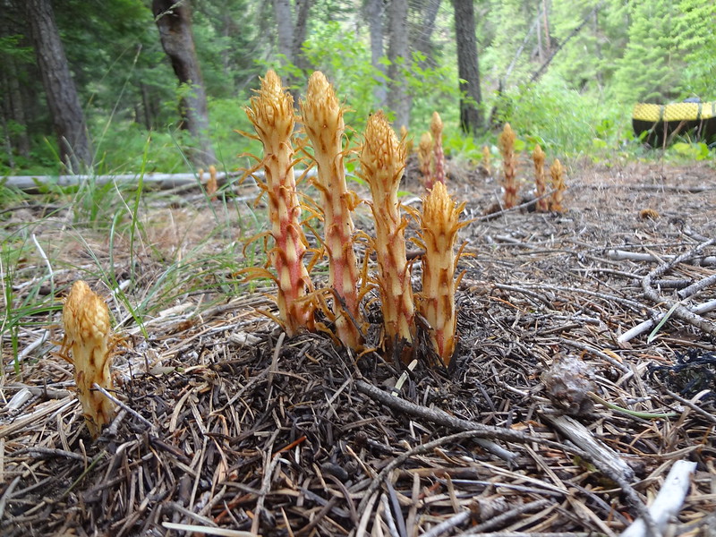
Pine drops:
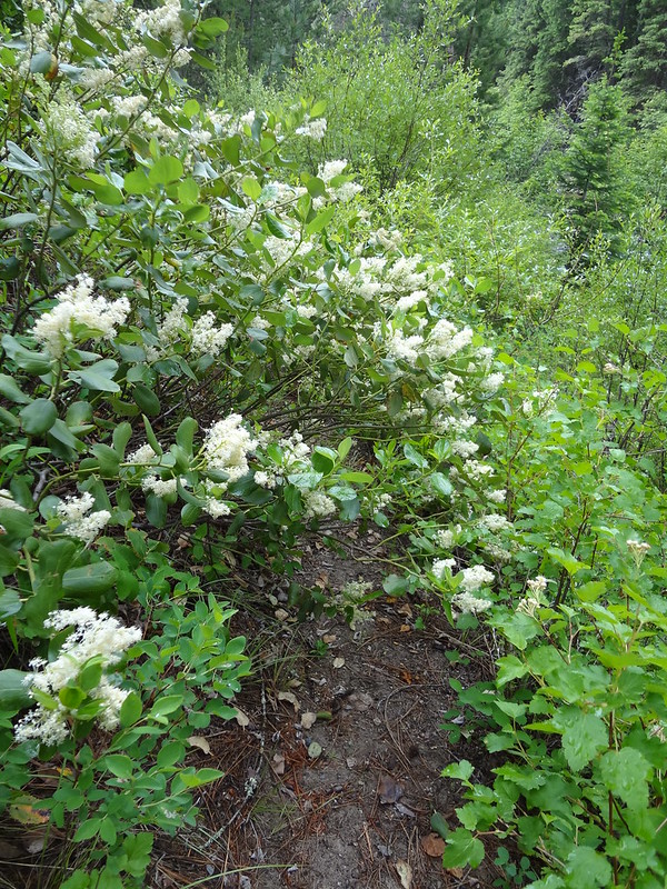
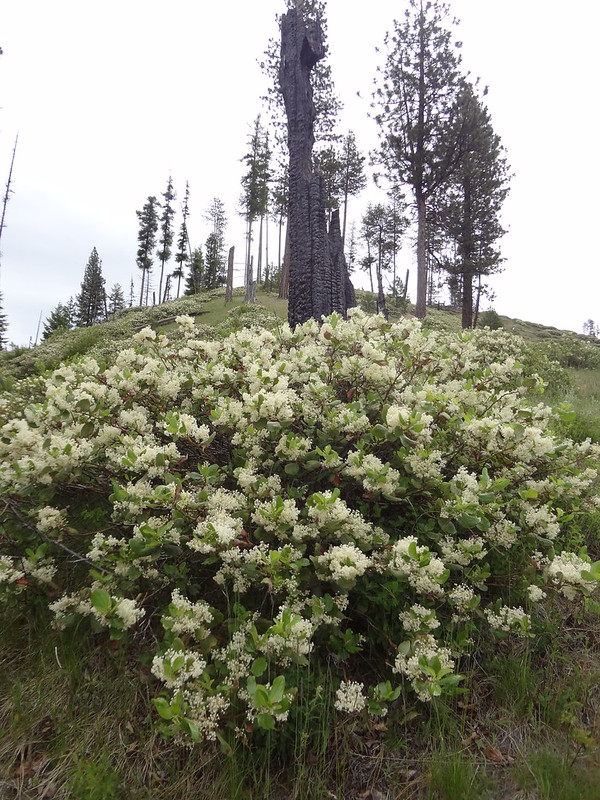
These plants with their flowers really soaked us:
At Silver Creek, we met up with the Silver Hill Trail (3800'). We decided to take that trail up to the higher elevations. That trail was in fair condition as well. Not great, but not bad. It was not as steep as I thought is was going to be due to the switchbacks.
Gaining elevation on the Silver Hill Trail:
I was hungry, so I stopped for a bite:
There was a rocky outcropping on the ridge, which we had to check out:
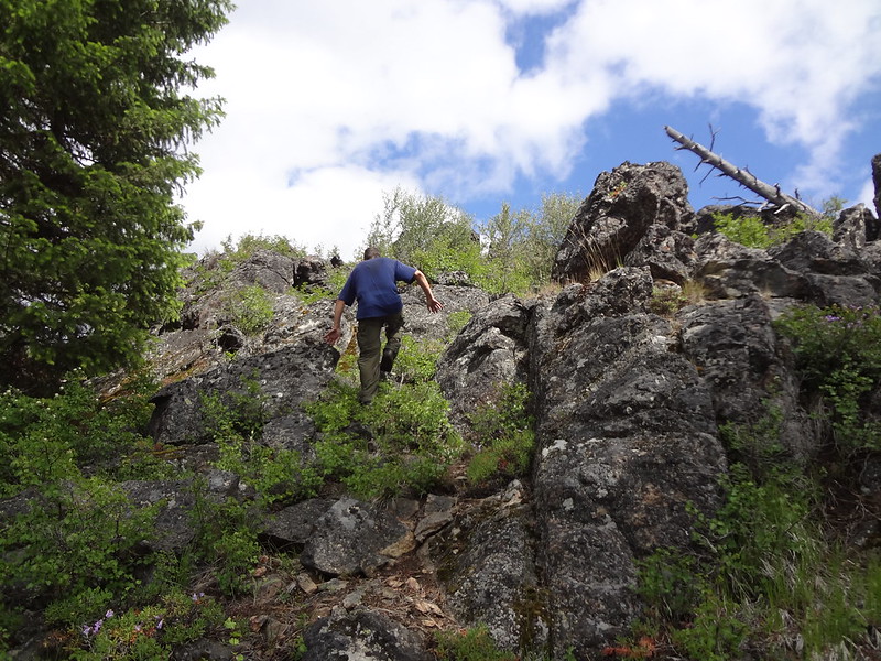
Chris at the top:
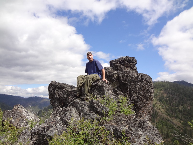
Me at the top:
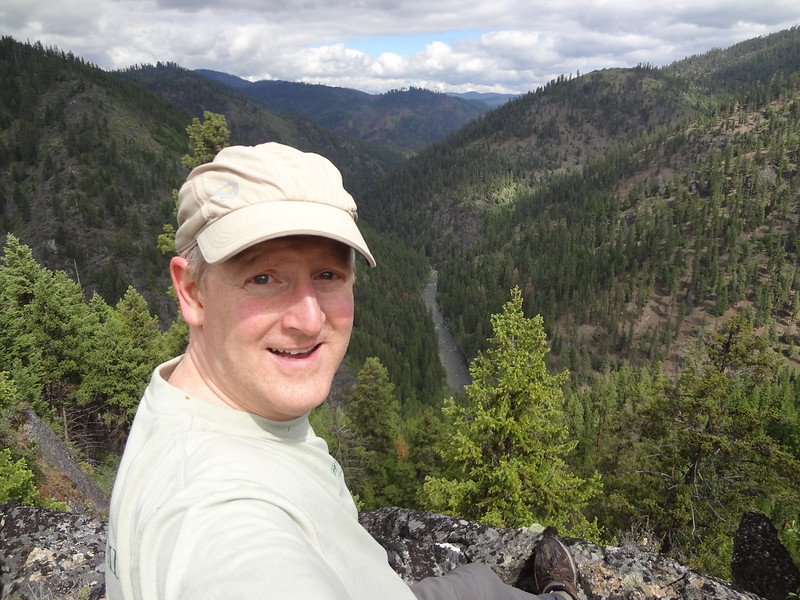
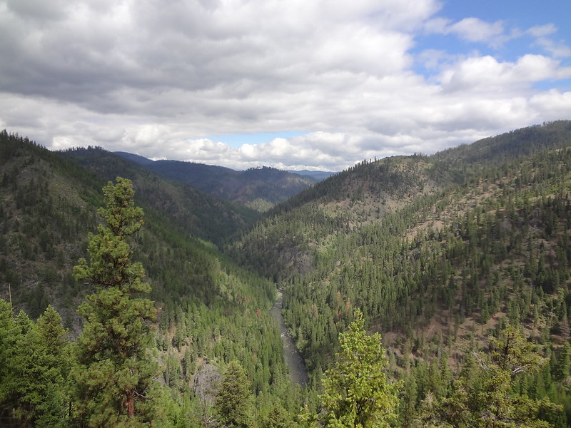
View from the top:
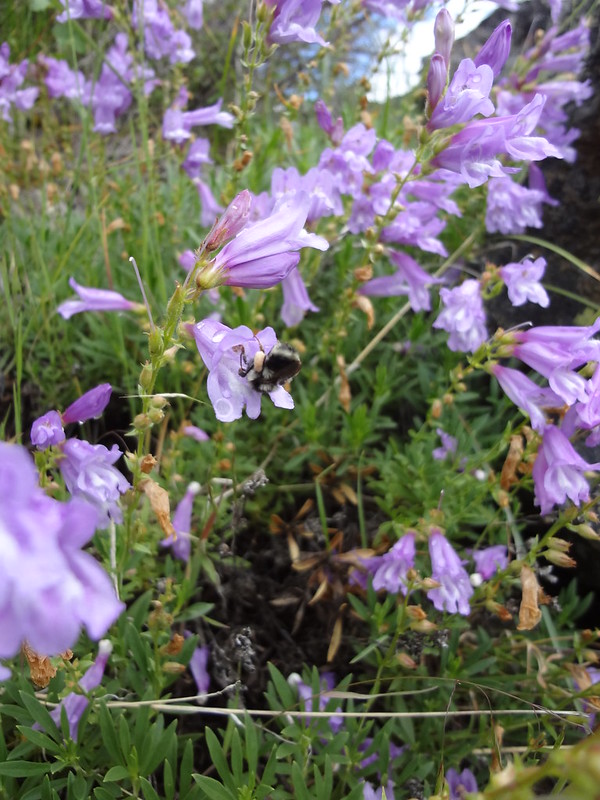
Bumblebee on a penstemon:
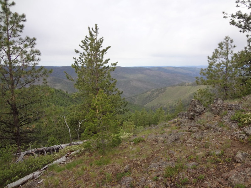
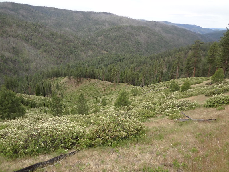
After a mile and a half or so, the Silver Hill Trail meets up with the Silver Butte Trail, which also comes up from the river. That trail offers up many views in many directions along the way.
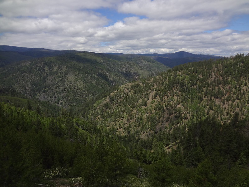
View along the Silver Butte Trail:
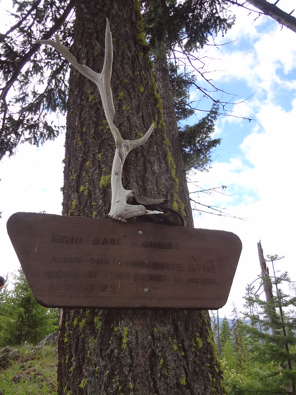
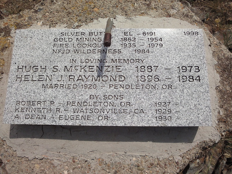
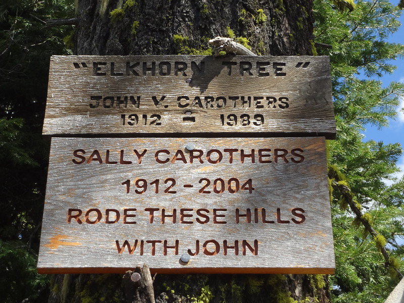
Memorial to a loved one:
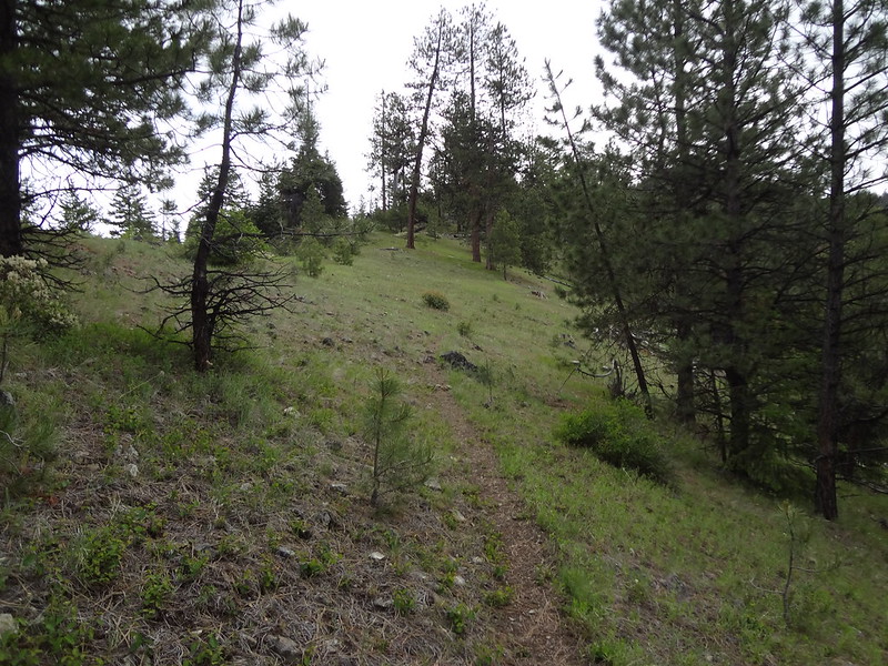
Going up the Silver Butte Trail:
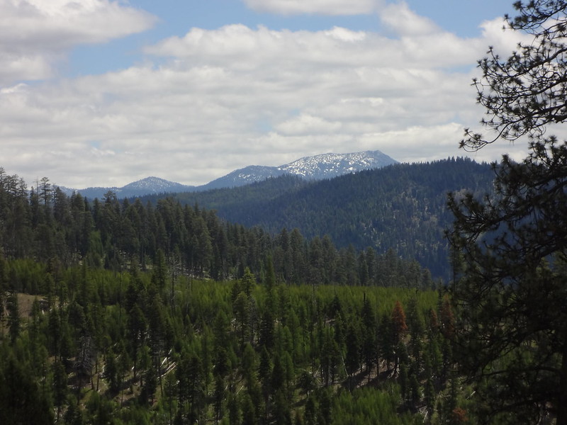
The Elkhorns still have some snow:
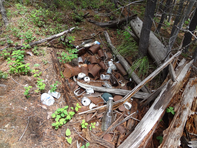
Messy campsite along the Silver Butte Trail:
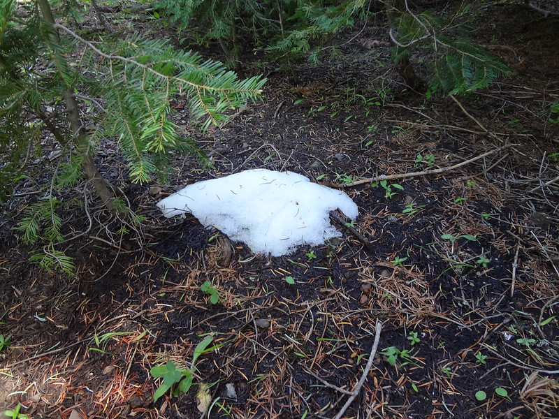
This is about all the snow we encountered (approximately 6300' here):
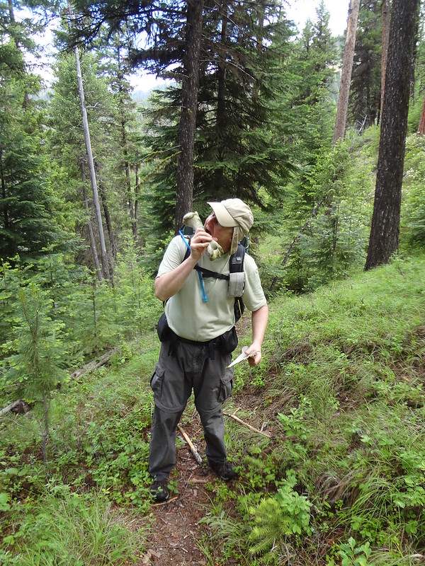
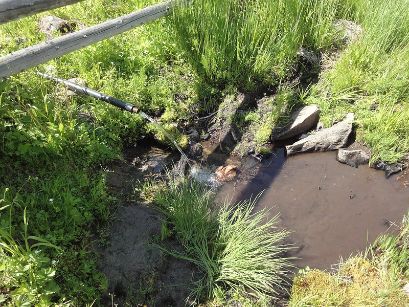
At 6025' the Silver Butte Trail meets up with FR5225, which dead ends at Silver Butte. The next order of business was getting water. From my previous car camping trip, I knew there was a piped spring at Silver Spring Camp, below Silver Butte. That was almost a half mile one-way from the direction we needed to go, but the spring was a sure thing. Water is an absolute necessity when hiking and backpacking and it was unsure where the next source would be. It's a good thing we filled up at that spring because we did not encounter another water source on the trail until back at the river on the third day.
Where the Silver Butte Trail meets FR5225:
Silver Spring:
Another memorial, this one on Silver Butte:
Hunters campsite along FR5225:
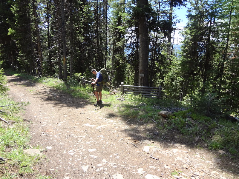
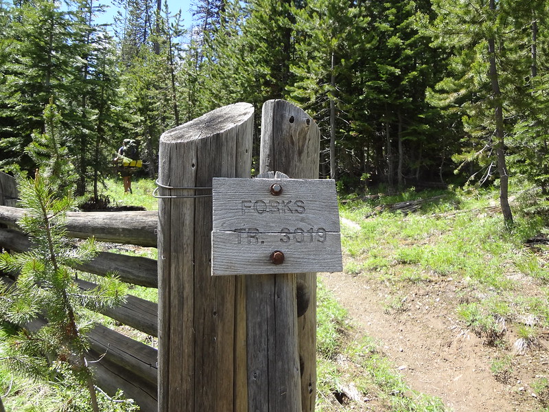
After getting water, we walked on FR5225 about a mile and a half until it met the Forks Trail. Along the way three people drove by on ATVs. They would be the only people we would see the entire trip. It is a very remote area there, rarely getting visitors outside of hunting season.
Where the Forks Trail meets FR5225:
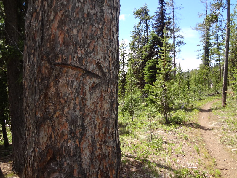
Arrow carved into a tree in case someone needs to know where the trail is:
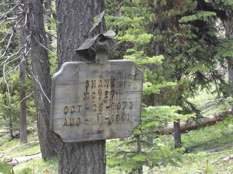
Another memorial to someone who died young:
More memorials:
Looking back at Silver Butte:
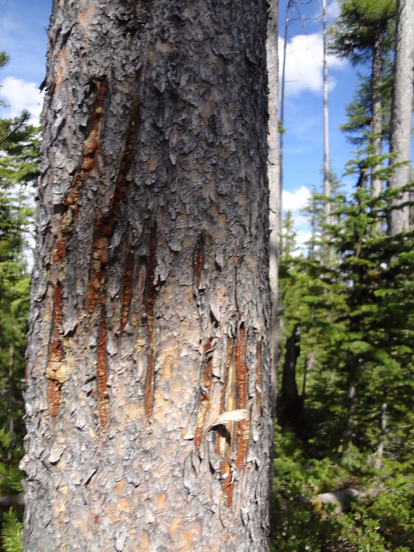
Bear scratches on a tree near the Moon Meadows turnoff:
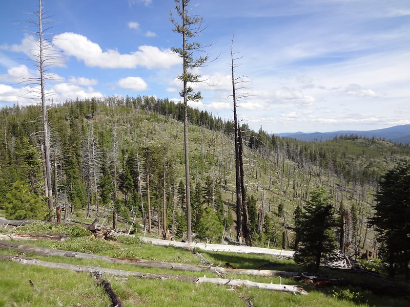
View along the Forks Trail:
We hiked many miles on the Forks trail, never even seeing so much as a flat spot to pitch a tent, never mind an actual campsite. We also came across many trails that at first seems well-worn and were the ones we thought were our turn-off. Here's a tip if you ever go to the NFJDW: Don't take a trail unless it has a sign. Game trails and hunter trails abound.
Eventually, where the Forks Trail meets the Fitzwater Trail, there was a flat spot on the trail big enough for our tents. Not a great spot, but it was sufficient.
Setting up camp on the trail:
It took me a while to get to sleep. I woke up fairly early in the evening to sounds of a creature around my tent. I couldn't tell what it was, but it was freaking me out. I kept thinking to myself, "Bears and cougar don't attack people." I would shake my tent and the sounds would stop, only to return. This went on for a long time. I was eventually able to determine the creature was no bigger than a raccoon. The noise was centered around a bush next to my tent - the bush I had put my reeking socks on.
I only slept a few hours that night - if that. The next morning when I got out of my tent, one of my socks was gone and most of my rubber bands were missing. Chris had also heard the creature scurrying outside his tent during the night, freaking him out as well.
The plan for the day was to take the Fitzwater Trail to the Corral Connect Trail to the Corral Creek Trail, back to the NFJDR Trail. So that's what we did, but not without more adventure...
The Corral Connect Trail:
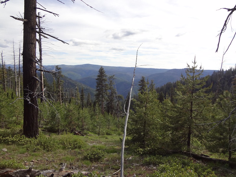
View from the Corral Creek Trail looking at the ridge it leads to:
Looking back up where we came from:
The Corral Creek Trail where it meets the Corral Connect Trail starts out fine, then degrades to a trail that is very overgrown - so much so that we lost and found the trail many times. We had visions of bushwhacking several miles of steep terrain downhill. Fortunately, the Corral Creek Trail I had traced from NatGeo and loaded onto my GPS was right on.
Can you see the trail? It's there as plain as day
The Corral Creek Trail follows the spur all the way down back to the NFJDR trail:
The continuation of the spur:
Bush and burnt tree:
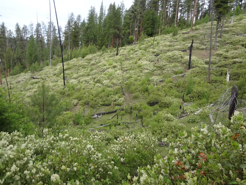
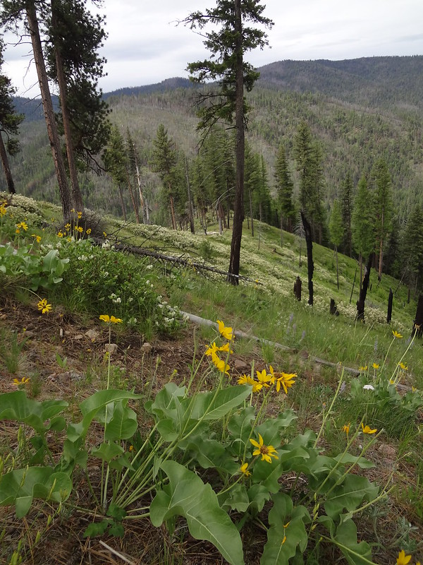
After getting through the area that was burnt through a number of years ago into the unburned area, the trail was easy to follow. Even so, it looked like the only maintenance it gets is from elk usage. The Corral Creek Trail ended up being the most scenic part of the entire trip
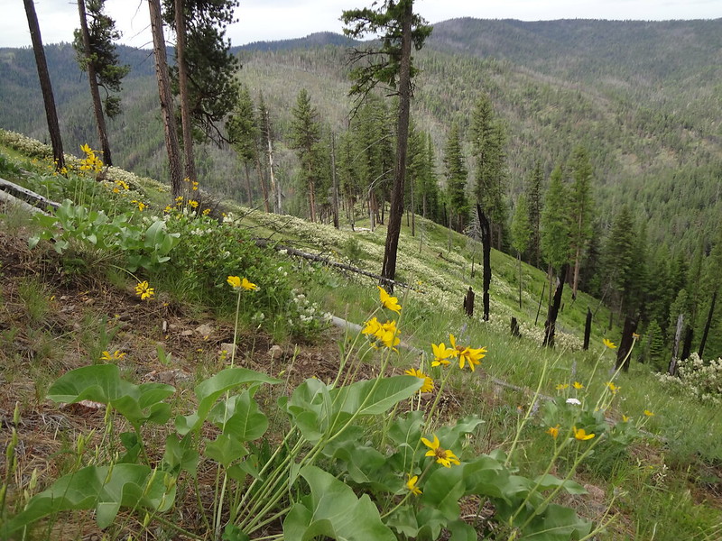
The balsamroot are waning, but still pretty:
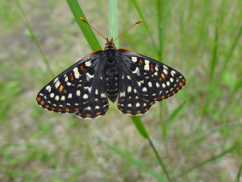
Pretty butterfly:
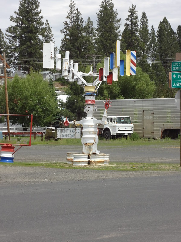
Interesting statue in Ukiah:
Link to all the pics:
http://www.flickr.com/photos/54959080@N ... 306651738/
Final comments:
- Mileage: 12.5 day one, 15.2 day two, 10.3 day three, 38.0 total
- Elevation gain: 6000' total
- The high elevation point of the trip was 6400'.
- Next up: Waldo Lake Wilderness possibly?
Keep on hiking,
Brad
I am including a Google Doc link to the NatGeo TPO file and the GPX XML file created from the TPO file in case anyone wants to use them. The trails on the file are very close to where the actual trails are. A few times where trails connect with each other was as much as a quarter mile off.
Link to NatGeo TPO file:
https://docs.google.com/file/d/0B7SKP52 ... sp=sharing
Link to GPX XML file:
https://docs.google.com/file/d/0B7SKP52 ... sp=sharing


