Death Valley March 2013
Posted: March 23rd, 2013, 5:25 pm
Last week was our (almost) annual pilgrimage to Death Valley (CA) in search of sun and heat. March in the Valley can be fickle - cold and rainy has happened in past years - but this year didn't disappoint. Amongst the usual tourist activities (Scotty's Castle, a drive thru Titus Canyon, and a long, bone jarring drive to the Racetrack), we got in some actual hiking. All of these hikes are at or above 3000' so temperatures ranged comfortably from 50 to 75 F, usually with a mild wind. But full sun and very low humidity (8%) called for lots of sunscreen and water. We started with a hike at Eagle Mtn (near Death Valley Junction). A use trail has become prominent in the years since I first climbed it but we had to pass on a summit bid because the loved one's hiking shoes were no match for the extremely sharp rock. However, the vistas were huge, with views of Telescope Pk (arrow)
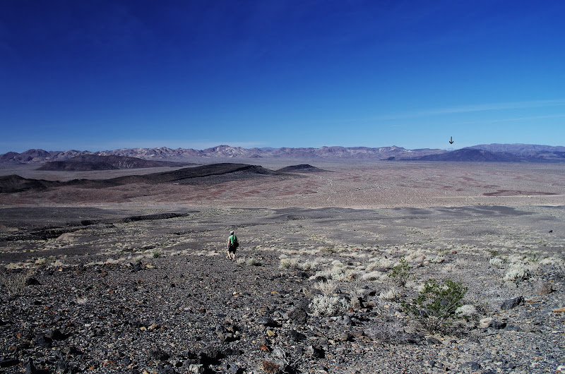
Brown Pk,

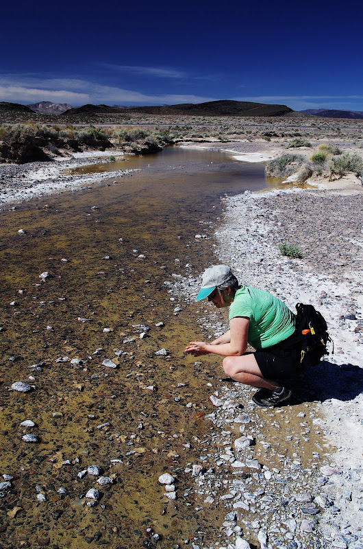
and the Amargosa River which, because of heavy rains the week before, was actually flowing.
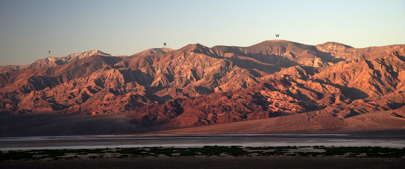
Our next objective was Wildrose Pk (W), the tallest peak N of Rogers (R), Bennett (between R and T) and Telescope (T). Sometimes the road to the TH is still blocked with snow in March but this year it was clear and open. We were joined by friends from Santa Barabara with whom I'd done a winter climb of Telescope years ago - but we all still vividly remember it as a very windy and bitterly cold experience.
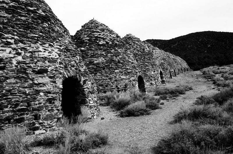
The TH is a the Charcoal Kilns, one of the many mining-related structures scattered around Death Valley.
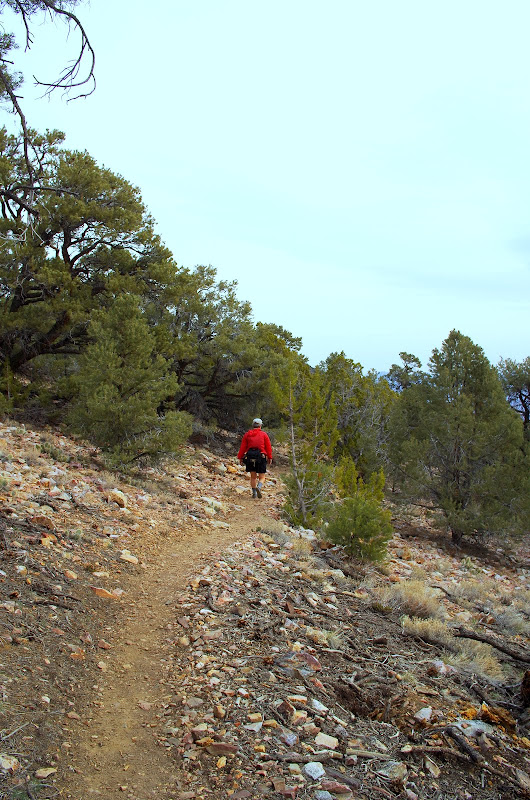
A well-maintained, and well-graded, trail leads (8.4 mi RT, 2200' EG) up through a pinyon-juniper forest,
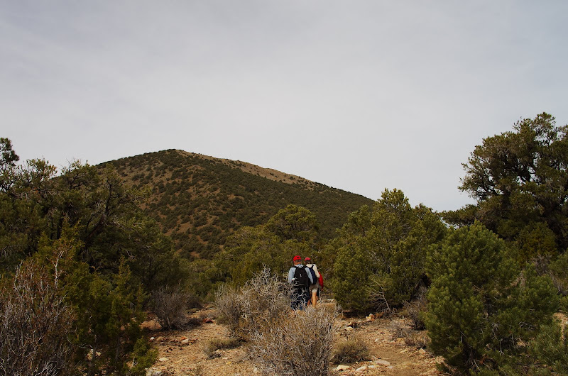
to the summit ridge,
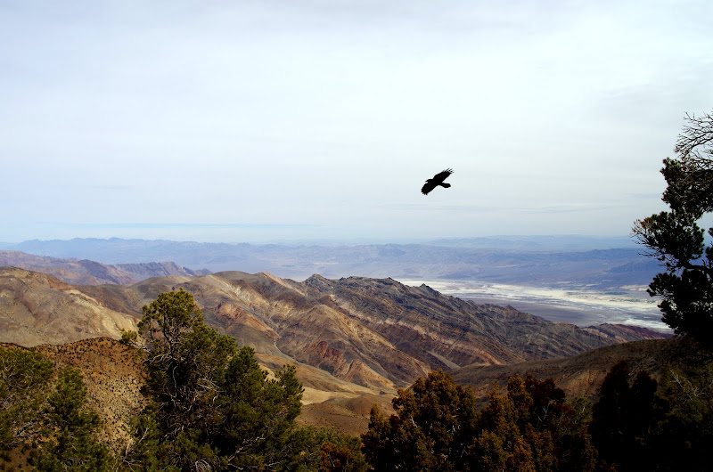
where you can get commanding views (with crow) of Furnace Ck below,
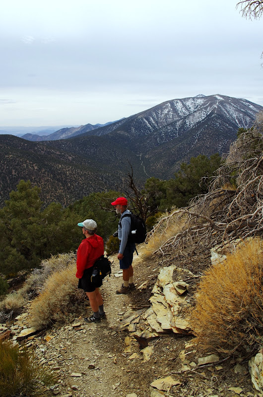
and of Rogers and Telescope along the ridge to the S.
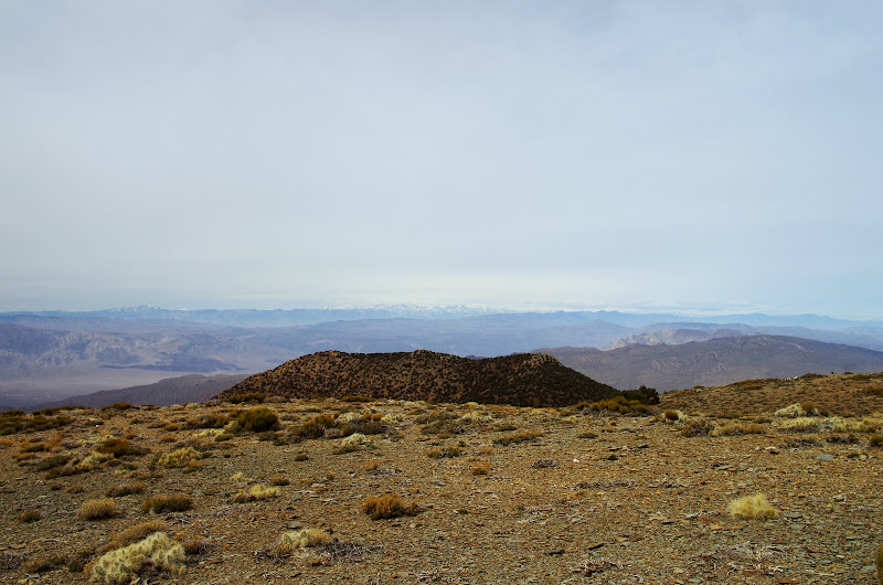
From the summit,
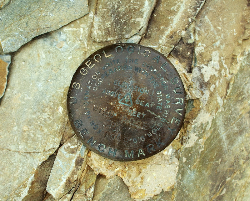
we had somewhat of a view of the Sierra Nevada on the far western horizon,
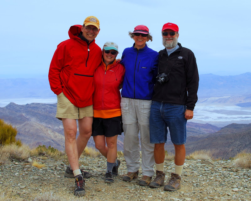
and of ourselves still hiking together after all these years.
Our friends had to get back to their active retirement, so we pushed on alone for a hike up Corkscrew Pk (7.5 mi RT, 3000' EG). When I first did it years ago, the route was all XC. Now there's a very well defined user trail leading directly to the summit (if you can find where it starts!).
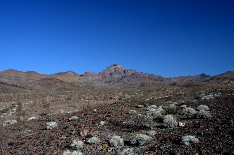
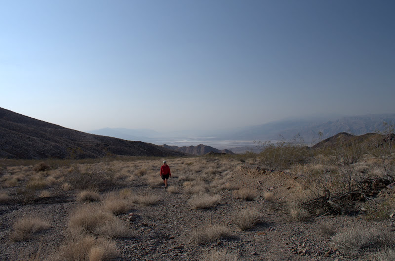
We started at the first sign just NE of the Pay Station and wandered up the alluvial fan toward the peak.
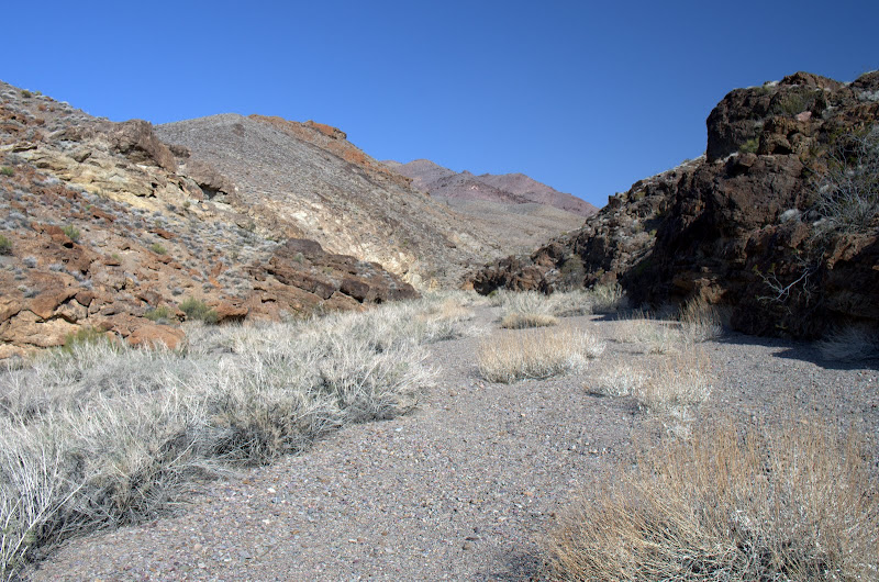
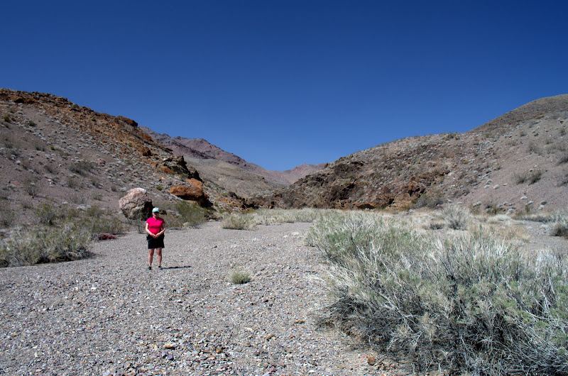
Tracks and numerous cairns (a lot of energy went into stacking a lot of rocks) soon appeared, which, when followed, drew us to the mouth of a canyon SE of the peak,
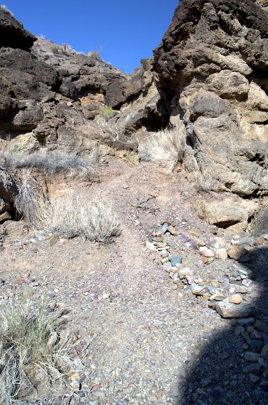
and then to an obvious (and well-cairned) trail thru a break in the canyon wall.
From then on the trail was visibly obvious,
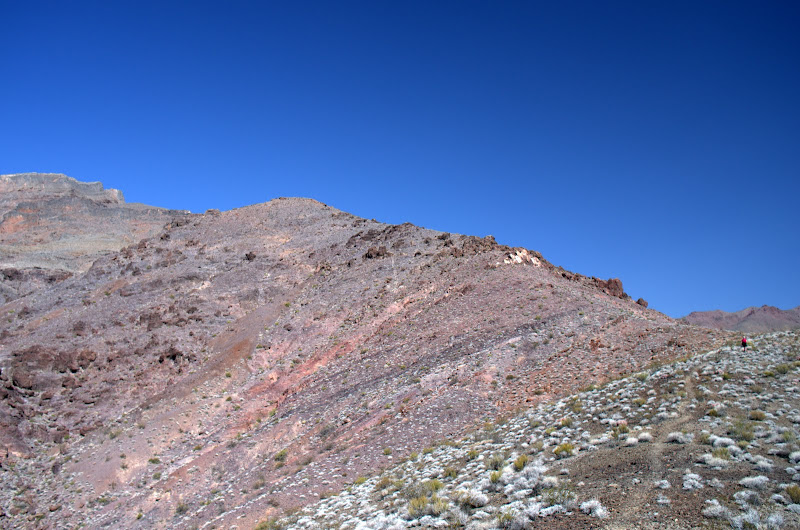
all the way to the summit.
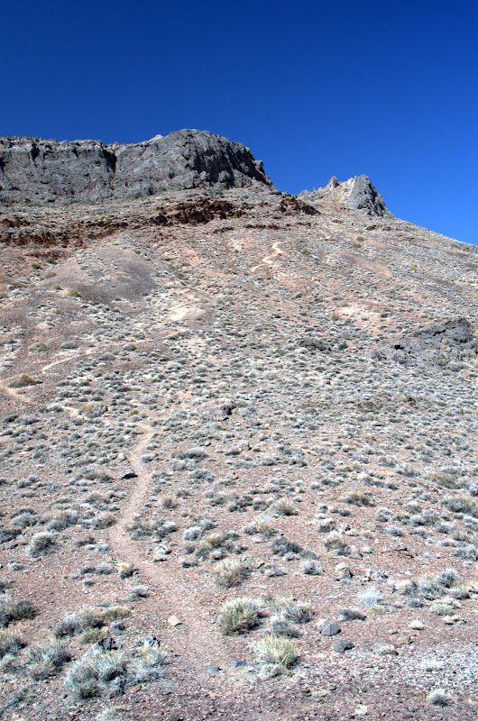
The trail gains the majority of its altitude in a last mile of steady upward plodding.
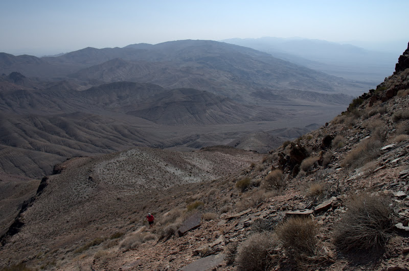
The saving grace is that the view just gets bigger and bigger as you cross the last ridge to the summit.
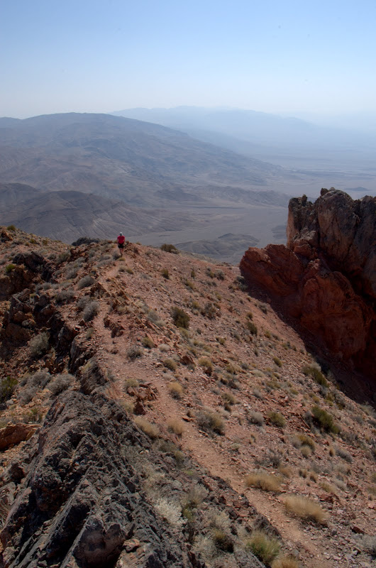
It wasn't a perfectly clear day, but the views of the tortured strata to the N were amazing.

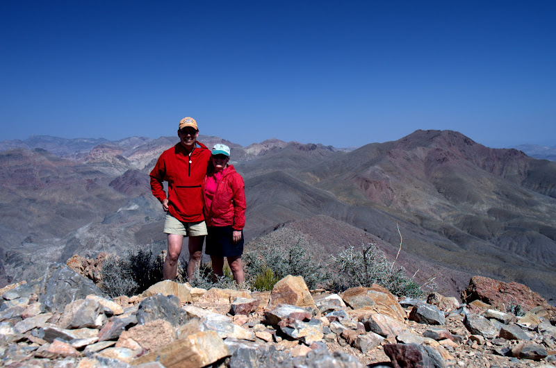
After the required summit shot,
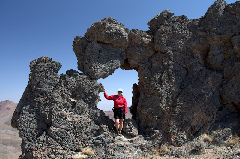
and of a "Hole-in-the-Rock",
it was back down the way we'd come up. Along the way, we were shadowed by a very wary bighorn sheep,
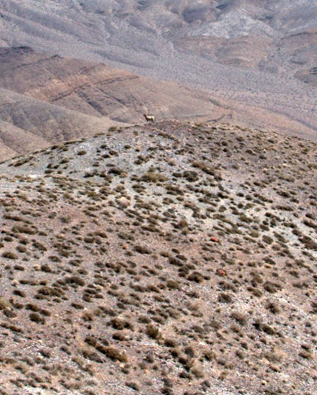
who kept running on ahead and eyeing us as we trudged back to the car.
This was another great trip to Death Valley, with warm, sunny weather, and good friends. Judging from its 2" thick hiking guide, there are many more hikes awaiting us in Death Valley should we be fortunate enough to make it back there in the years ahead.
Brown Pk,
and the Amargosa River which, because of heavy rains the week before, was actually flowing.
Our next objective was Wildrose Pk (W), the tallest peak N of Rogers (R), Bennett (between R and T) and Telescope (T). Sometimes the road to the TH is still blocked with snow in March but this year it was clear and open. We were joined by friends from Santa Barabara with whom I'd done a winter climb of Telescope years ago - but we all still vividly remember it as a very windy and bitterly cold experience.
The TH is a the Charcoal Kilns, one of the many mining-related structures scattered around Death Valley.
A well-maintained, and well-graded, trail leads (8.4 mi RT, 2200' EG) up through a pinyon-juniper forest,
to the summit ridge,
where you can get commanding views (with crow) of Furnace Ck below,
and of Rogers and Telescope along the ridge to the S.
From the summit,
we had somewhat of a view of the Sierra Nevada on the far western horizon,
and of ourselves still hiking together after all these years.
Our friends had to get back to their active retirement, so we pushed on alone for a hike up Corkscrew Pk (7.5 mi RT, 3000' EG). When I first did it years ago, the route was all XC. Now there's a very well defined user trail leading directly to the summit (if you can find where it starts!).
We started at the first sign just NE of the Pay Station and wandered up the alluvial fan toward the peak.
Tracks and numerous cairns (a lot of energy went into stacking a lot of rocks) soon appeared, which, when followed, drew us to the mouth of a canyon SE of the peak,
and then to an obvious (and well-cairned) trail thru a break in the canyon wall.
From then on the trail was visibly obvious,
all the way to the summit.
The trail gains the majority of its altitude in a last mile of steady upward plodding.
The saving grace is that the view just gets bigger and bigger as you cross the last ridge to the summit.
It wasn't a perfectly clear day, but the views of the tortured strata to the N were amazing.
After the required summit shot,
and of a "Hole-in-the-Rock",
it was back down the way we'd come up. Along the way, we were shadowed by a very wary bighorn sheep,
who kept running on ahead and eyeing us as we trudged back to the car.
This was another great trip to Death Valley, with warm, sunny weather, and good friends.