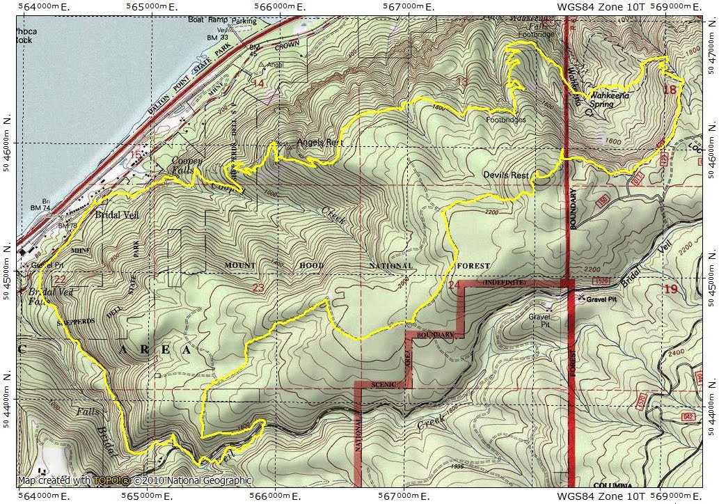
A Big Loop Around Devils Rest 19-Jan-2013
Posted: January 19th, 2013, 4:44 pm
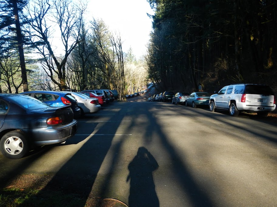
This morning dawned 29F, foggy, and frosty. I wasn't inspired to rush immediately to a TH nor to a far distant TH. I also wanted to give the snow shoes a rest. So I chose the classic Devils Rest loop but, after gazing at the map for a bit, added a twist. The fog evaporated just past the Sandy River and as I pulled into the Angels Rest TH (2nd car there), a full bluebird day was shaping up fast. Starting out, I had a good view of Archer Mtn across the river.
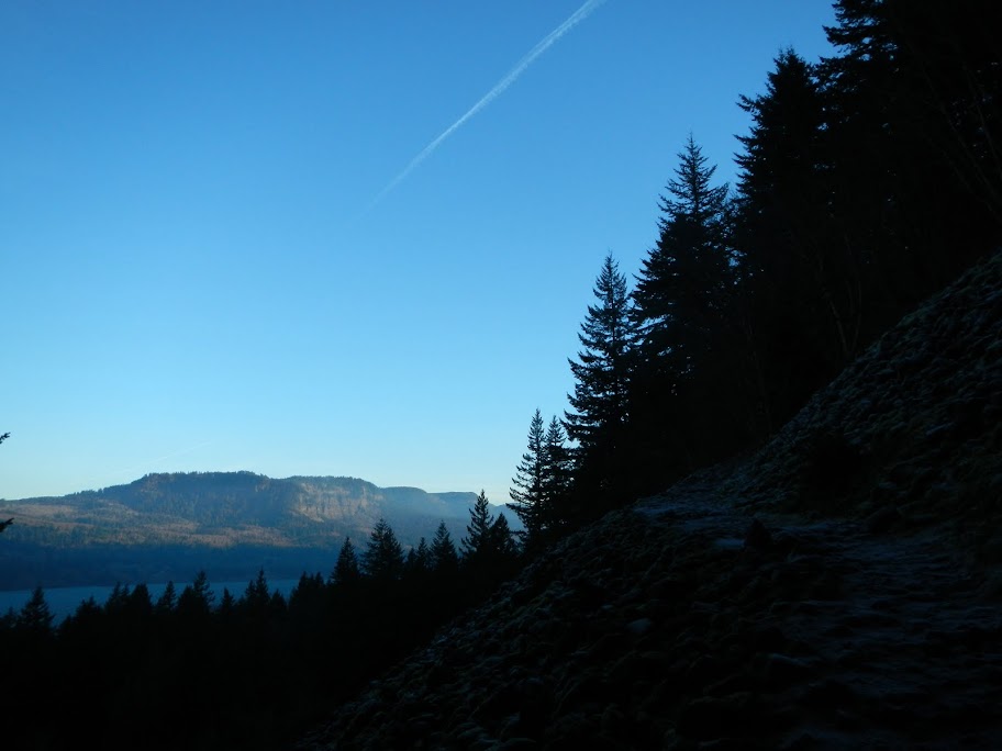
From just below Angles Rest, I could see that Portland was still having fun with fog.
The trail to Angels Rest was snow-free but the 415 to Wahkeena Spring and the 420C to Devils Rest had icy patches that made walking a balance exercise. The microspikes went on and stayed on until the W side of Devils Rest, despite there being a few snow-free segments enroute.
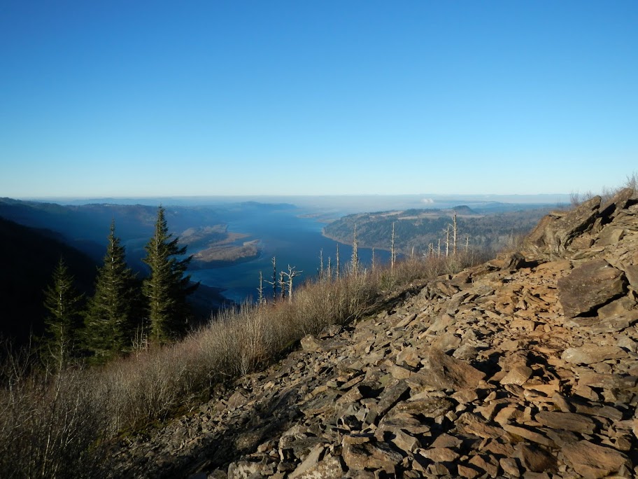
The best viewpoint on the 420C is just before the top of Devils Rest. On this amazingly clear and cloud-free day, it was possible to see Silver Star (s) {I could almost imagine a line of hikers ascending the S Ridge}, Sturgeon Rock (sr), and the Indian Pits (ip),

St. Helens and Rainier (R),
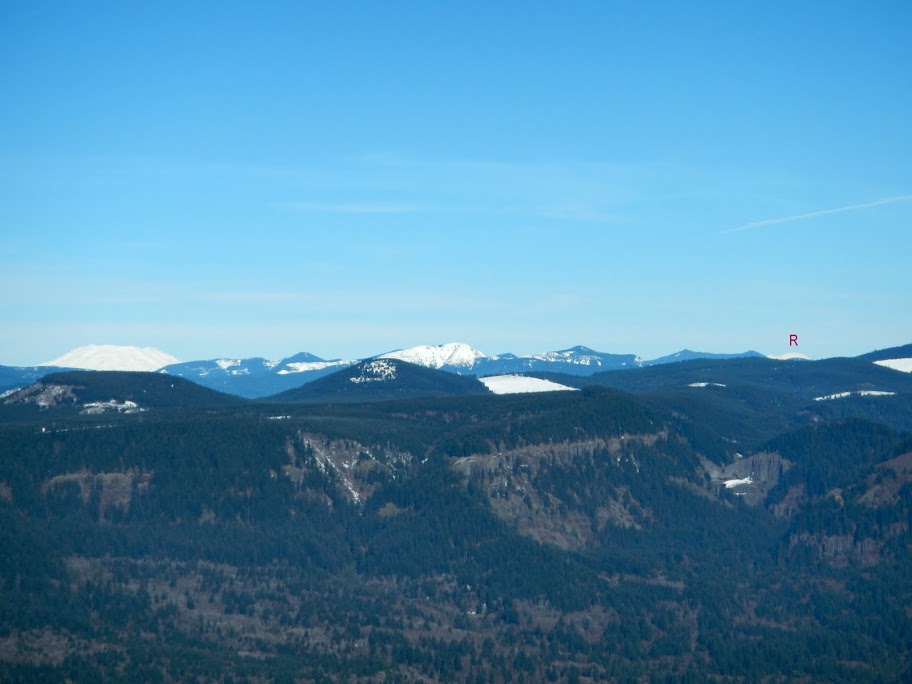
as well as Birkenfeld (b), South Birkenfeld (sb), Table (t), Adams (a), Hamilton (hm), and Hardy Ridge (h).

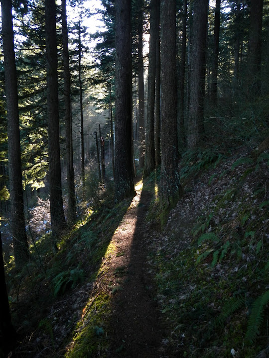
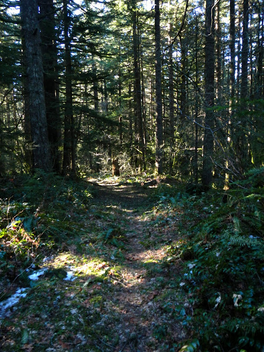
I followed the Foxglove Trail off Devils back toward Angles Rest but where it makes a sharp turn to the right to head downhill, I turned left onto an old, abandoned road. I'm sure Don has all these mapped, but this was a new twist for me. These tracks are still recognizable as roads due to a lack of trees, but in many place the tread has been narrowed by time and vegetation to trail width.

For the next 2 mi, I'd follow these surprisingly pleasant to hike old roads W and downhill toward Palmer Mill Rd.
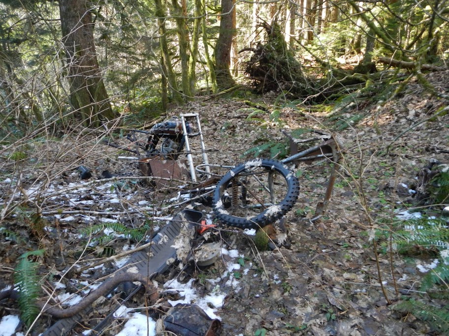
Other people find whole railroads and other cool stuff in this area - the best I could do was this wrecked motorcycle.
The old roads end at a very stout locked gate on a dirt road along side Bridal Veil Creek.
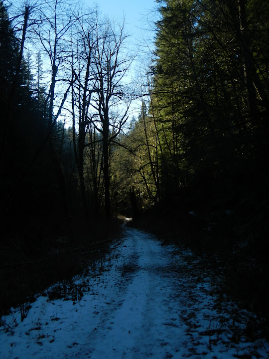
Shortly downhill on that road is another huge locked gate and Palmer Mill Rd.
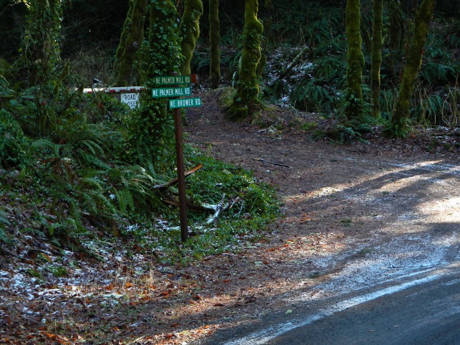
Palmer Mill is a compacted dirt gravel road that leads directly to the upper Angles Rest TH parking lot. There were two cars in the lower lot when I left and just a few more when I returned. Just your typical sunny winter day at Angels Rest. However, I only saw 5 people all day and none after I reached the 415 trail.
This was a fun hike - something classic, something new (for me at least), big views, and bluebird conditions. 12.5 mi RT, 2700' EG.
From just below Angles Rest, I could see that Portland was still having fun with fog.
The trail to Angels Rest was snow-free but the 415 to Wahkeena Spring and the 420C to Devils Rest had icy patches that made walking a balance exercise. The microspikes went on and stayed on until the W side of Devils Rest, despite there being a few snow-free segments enroute.
The best viewpoint on the 420C is just before the top of Devils Rest. On this amazingly clear and cloud-free day, it was possible to see Silver Star (s) {I could almost imagine a line of hikers ascending the S Ridge}, Sturgeon Rock (sr), and the Indian Pits (ip),
St. Helens and Rainier (R),
as well as Birkenfeld (b), South Birkenfeld (sb), Table (t), Adams (a), Hamilton (hm), and Hardy Ridge (h).
I followed the Foxglove Trail off Devils back toward Angles Rest but where it makes a sharp turn to the right to head downhill, I turned left onto an old, abandoned road. I'm sure Don has all these mapped, but this was a new twist for me. These tracks are still recognizable as roads due to a lack of trees, but in many place the tread has been narrowed by time and vegetation to trail width.
For the next 2 mi, I'd follow these surprisingly pleasant to hike old roads W and downhill toward Palmer Mill Rd.
Other people find whole railroads and other cool stuff in this area - the best I could do was this wrecked motorcycle.
The old roads end at a very stout locked gate on a dirt road along side Bridal Veil Creek.
Shortly downhill on that road is another huge locked gate and Palmer Mill Rd.
Palmer Mill is a compacted dirt gravel road that leads directly to the upper Angles Rest TH parking lot. There were two cars in the lower lot when I left and just a few more when I returned.
This was a fun hike - something classic, something new (for me at least), big views, and bluebird conditions. 12.5 mi RT, 2700' EG.