PH members cascadehiker, potato and I were set to day hike from Timberline Lodge to Eagle Creek on Saturday until news of a new fire that popped up in the Wahtum Lake area spoiled our chances of making it through a critical stretch of trail safely. Thanks to warnings and maps posted by portland hikers jdemott and granny hiker, CH was able to see the post about the fire the night before and we canceled the hike due to unsafe conditions and closed trails.
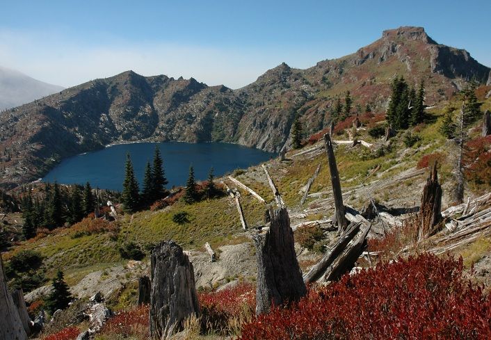
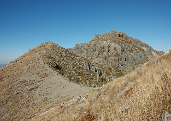
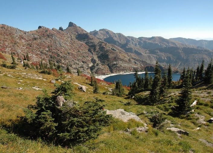
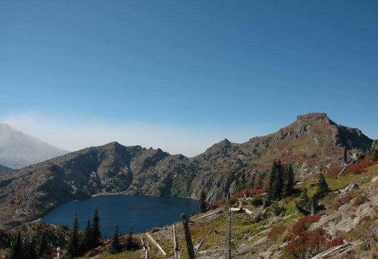
Bummed out, we were scrambling for plan B's and other options until eventually deciding we would just go our seperate ways on Saturday. Pretty shortly I decided on a loop north of St Helens incorporating the South Coldwater, Coldwater, and Boundary Trails that would take me through some of the most amazing scenery the area has to offer. Here is a picture of St Helens Lake and Coldwater Peak from the Boundary Trail:
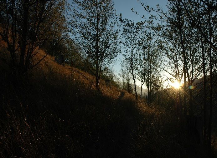
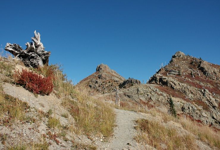
The warmth from the rising sun felt good as I hiked up the ridge:
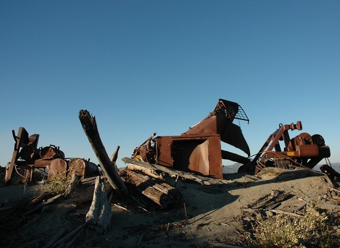
Pretty soon I was standing in front of the old logging equipment that was mangled by the eruption in 1980. Geologists believe the blast had the power of a ten megaton hydrogen bomb(a megaton is one million tons)
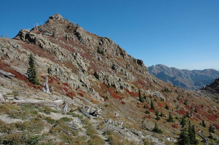
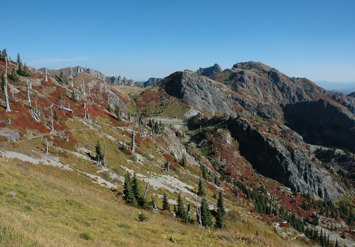
Looking back towards some of the Coldwater Trail while getting closer to Coldwater Peak and St Helens Lake:
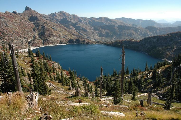
St Helens Lake with The Dome and Mt Margaret in the background:
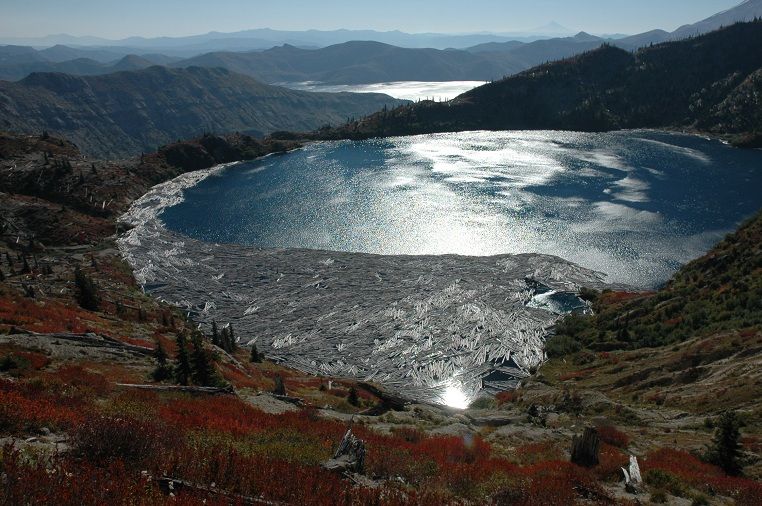
Sunshine on the lake with a peak of Spirit Lake:
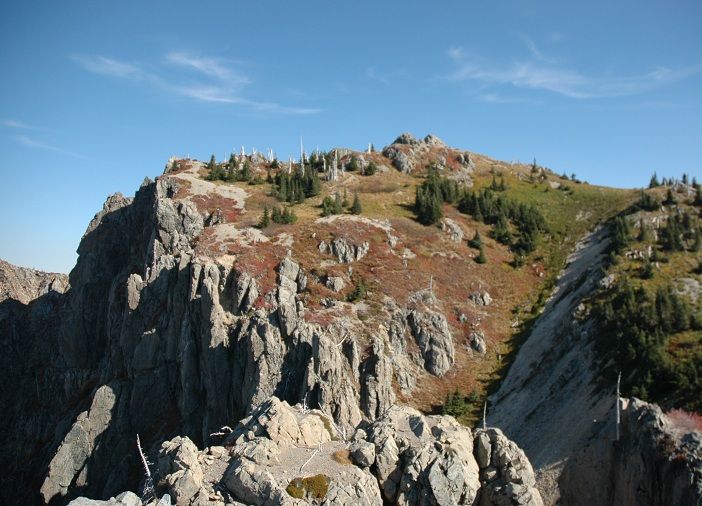
Heading toward Mt Margaret along the boundary trail:
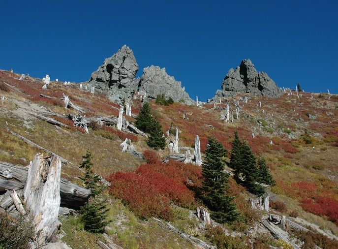
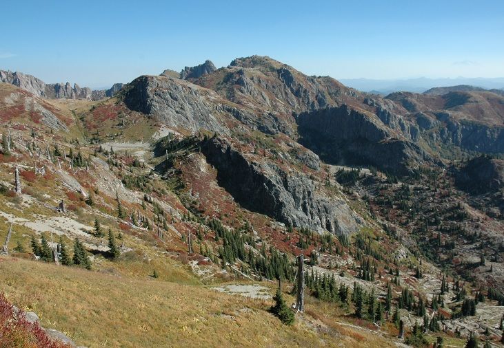
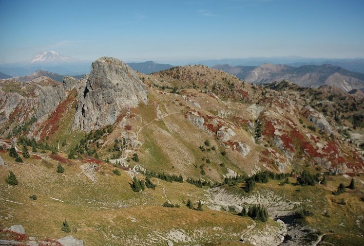
Looking back at Coldwater Peak and St Helens Lake:
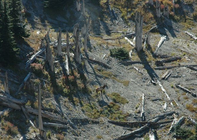
I saw lots of Elk and almost as many hunters along the road in the early morning. This bull was the only one who stood still long enough for a long distance photo op:
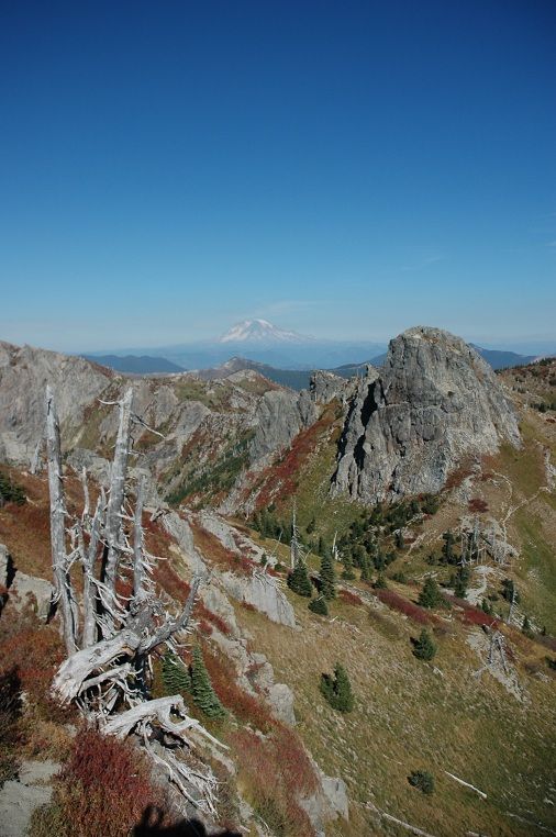
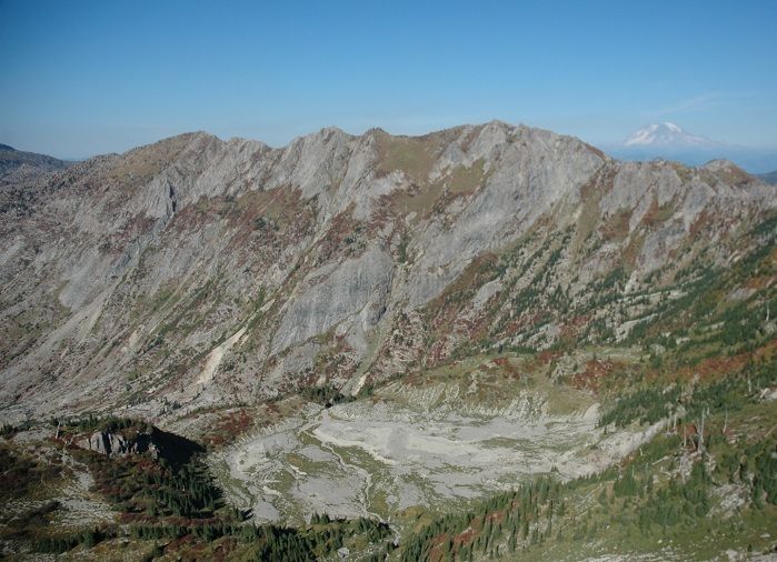
First really good looks at large Marge for the day:
The views from the top of Mt Margaret are really nice:
Here is Mt Roy and Ranier:
There was a friendly couple at the summit who came up as I left. This is the summit of Marge from below with the couple up near the summit rocks:
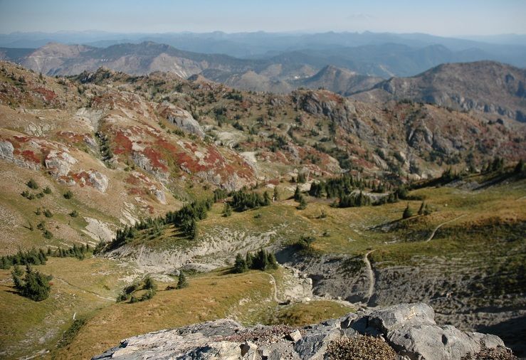
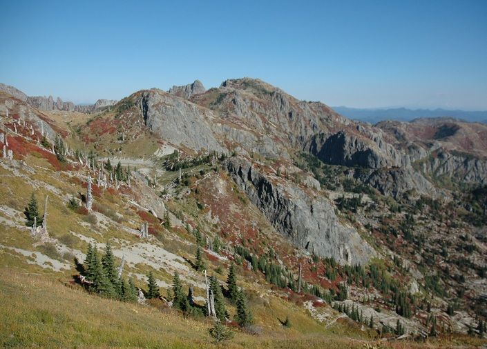
Looking north out toward Mt Whittier and the headwaters of Coldwater Creek:
One last look back toward Miss or is it Mrs Marge?
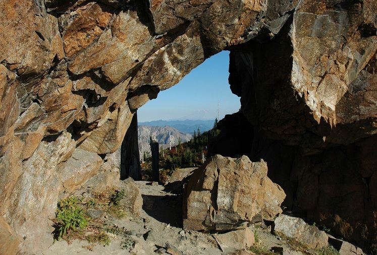
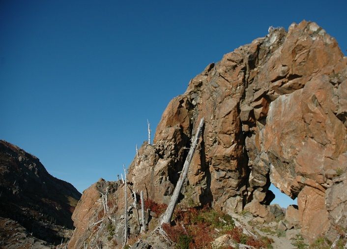
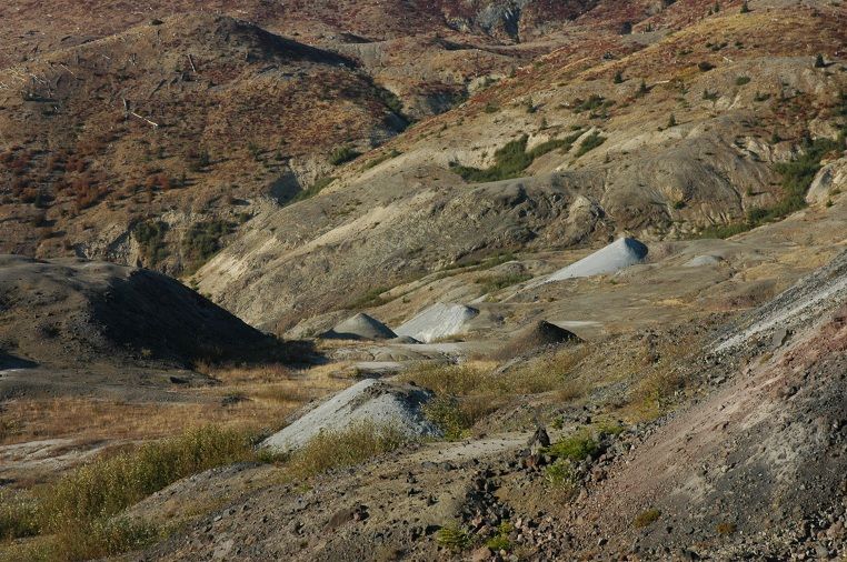
To finish out the day with a loop, I hiked the Boundary Trail past the Johnston Ridge Observatory and finally the Hummocks Trail back to hwy 504. This stretch was new travel for me which meant even more ooing and aweing. Pretty soon I was hiking under the rock arch the trail goes under:
Just before reaching JRO:
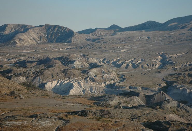
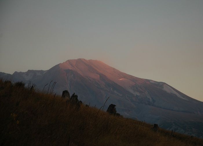
I stopped for a little early dinner snack on the 3 mile stretch from the loowit viewpoint to hummocks to watch the sunset over the Toutle Range. There are great views of the mountain, Castle Creek and the North Fork Toutle from this stretch:
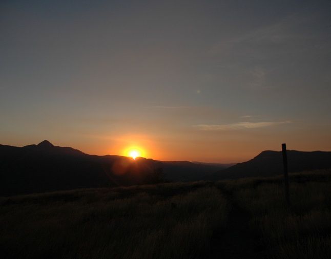
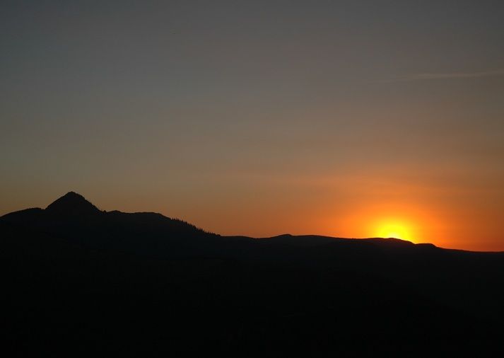
Almost gone:
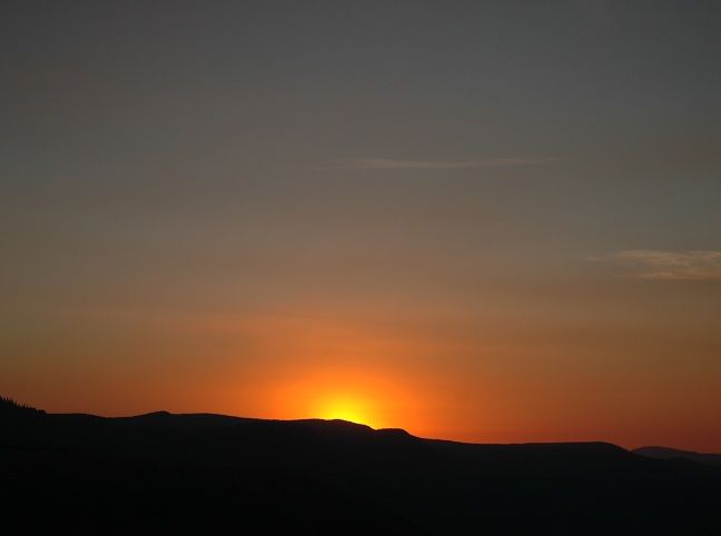
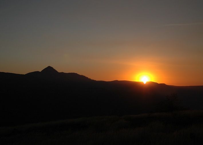
Last light on the rim:
Mt Margaret via South Coldwater - Boundary Trail loop: 10/6
- Sean Thomas
- Posts: 1647
- Joined: February 25th, 2012, 11:33 pm
Re: Mt Margaret via South Coldwater - Boundary Trail loop: 1
I'll be up there bright and early tomorrow, and I kind of wish I hadn't seen this TR, as I wanted to be surprised by how much fall color had popped out in the few weeks since I was there last, lol.
Great TR though, great photos.
Hannah
Only those who will risk going too far can possibly find out how far they can go.
-- T.S. Eliot
Re: Mt Margaret via South Coldwater - Boundary Trail loop: 1
wow. Amazing place. I should get up there and hike someday!
So you just went solo, right? Nice "plan B" hike.
Re: Mt Margaret via South Coldwater - Boundary Trail loop: 1
Beautiful photos, Sean! I was up there a couple weeks ago approaching Ms. Marge from the other side--you had less haze and better colors yesterday. I'm glad the Wahtum Lake info gave you a chance to develop Plan B.
- sparkpilot
- Posts: 46
- Joined: September 16th, 2012, 9:39 am
Re: Mt Margaret via South Coldwater - Boundary Trail loop: 1
Oh my gosh...these photos are surreal....like the scenery of someone's imagination
Re: Mt Margaret via South Coldwater - Boundary Trail loop: 1
Great loop Sean! When I do that loop, I summit Coldwater Peak, not Mt Margaret! I assume that my careful choice of summit saves me at least 10 miles of hiking!
You are 50% of the Jojomachine and the Hikingmachine dream team...
Some people are really fit at eighty; thankfully I still have many years to get into shape…
- Sean Thomas
- Posts: 1647
- Joined: February 25th, 2012, 11:33 pm
Re: Mt Margaret via South Coldwater - Boundary Trail loop: 1
I hope your visit was a good one today, hlee. The colors were something else on Saturday.
Yes you should, Crus. The stretch between Mt Margaret and Coldwater Peak is one of my favorites. There are so many options from where we live, it seemed harder to pick which plan B to hike than to think of one in the first place
Thanks, John. Your post was the only source of information we had on the fire until GH posted that map. Thank you again for posting your encounter/findings at the lake and warning PH of the fire. We might have been in a real mess if we got about 30 miles in and had to find a new route, turn around or hunker down for the night. Actually, potato was going to bring a hammock and maybe camp up at indian springs. It would have been pretty cozy with all three of us in the hammock
Thanks, sparkpilot. I was thinking that myself on Saturday while hiking above St Helens Lake
LOL I know, Peder. I will try to be more careful next time I thought about your Mt Minnie adventure when I was looking across the valley at it. Always looks rugged.
Re: Mt Margaret via South Coldwater - Boundary Trail loop: 1
Well, after your recent hikes you are fit enough to carry me once I tarp on an "extended" Mt Minnie loop next year! Something to look forward to...Sean Thomas wrote:I thought about your Mt Minnie adventure when I was looking across the valley at it. Always looks rugged.
PS: I noticed today that the Eagle-Opal Creek-Tanner adventure took the same time and had the same distance (18.5 miles) as the Mt Minnie loop; so Mt Minnie holds some pretty resistant terrain!
Some people are really fit at eighty; thankfully I still have many years to get into shape…
Re: Mt Margaret via South Coldwater - Boundary Trail loop: 1
Awesome you and Peder keep putting me some where between cheering me up and making me jealous maybe I can talk the wife into a
trip to Harry's Ridge before the weather breaks.
The downhill of the mind is harder than the uphill of the body. - Yuichiro Miura
Re: Mt Margaret via South Coldwater - Boundary Trail loop: 1
Sean...can you please take a break from hiking so my list of 'must do hikes' will stop growing! Absolutely gorgeous!
Rachelle
"What's with all these drinkers with hiking problems?"