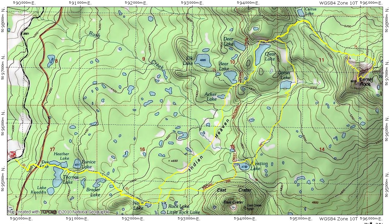
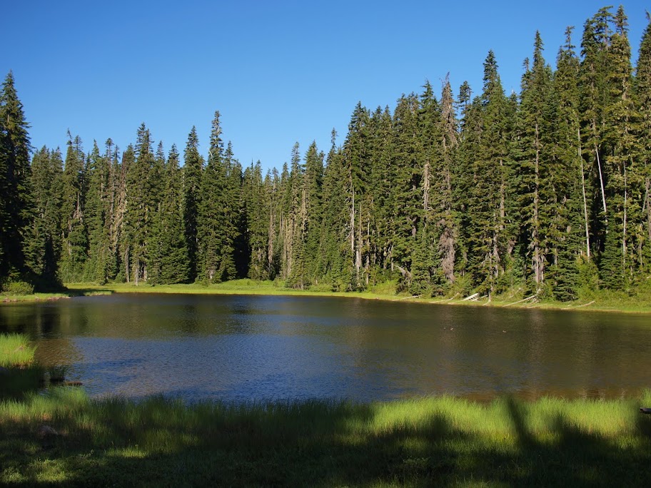
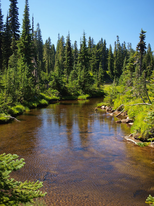
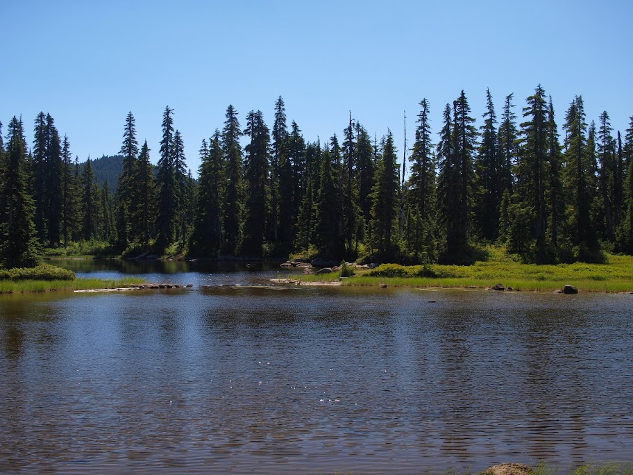
then past Nana Lake,
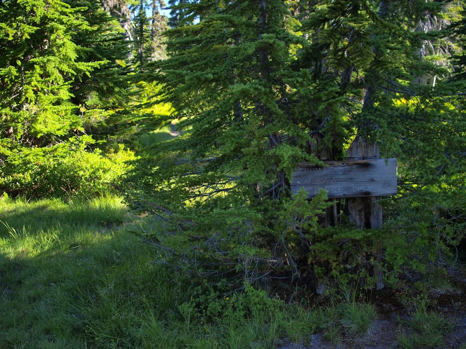
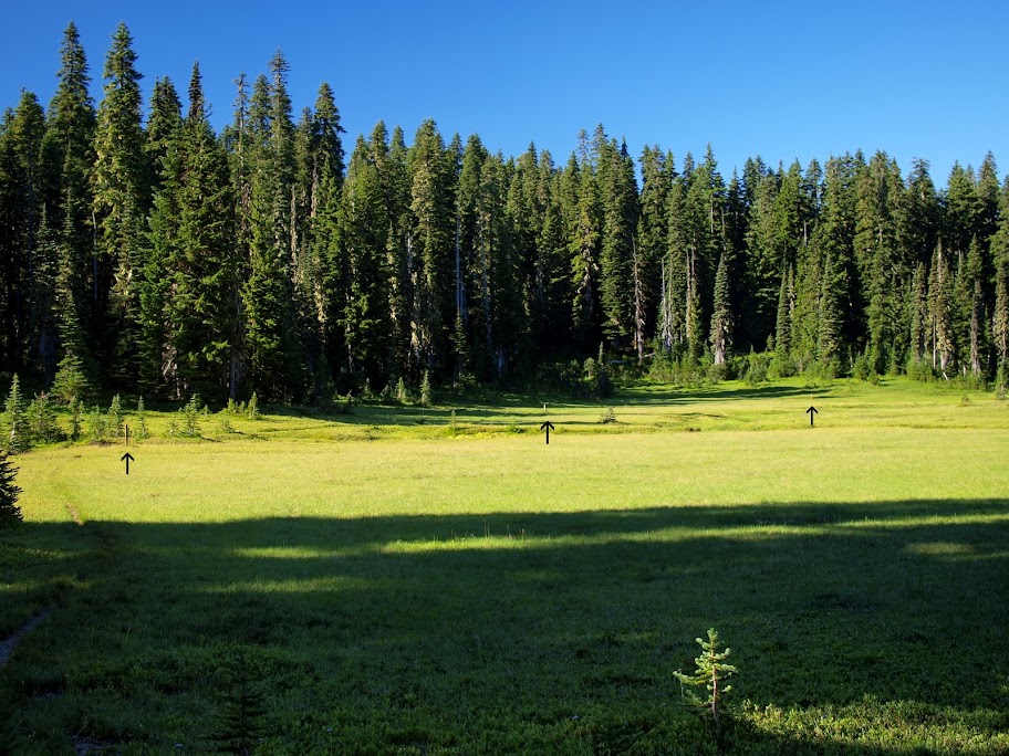
to the point where the 111 trail veers SE at 4700'. Here, behind an old sign, there's a former trail (clear in some places, faint in others, reverting to creek bed in yet others) that heads N toward Bear Lake.
It runs through patches of forest and across several large meadows, where you can still see (arrows) the old yellow - but now faded - posts that used to mark the route,
past Acker Lake,
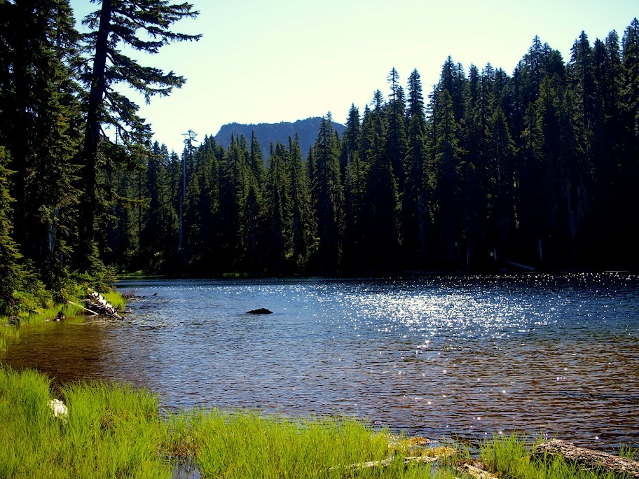
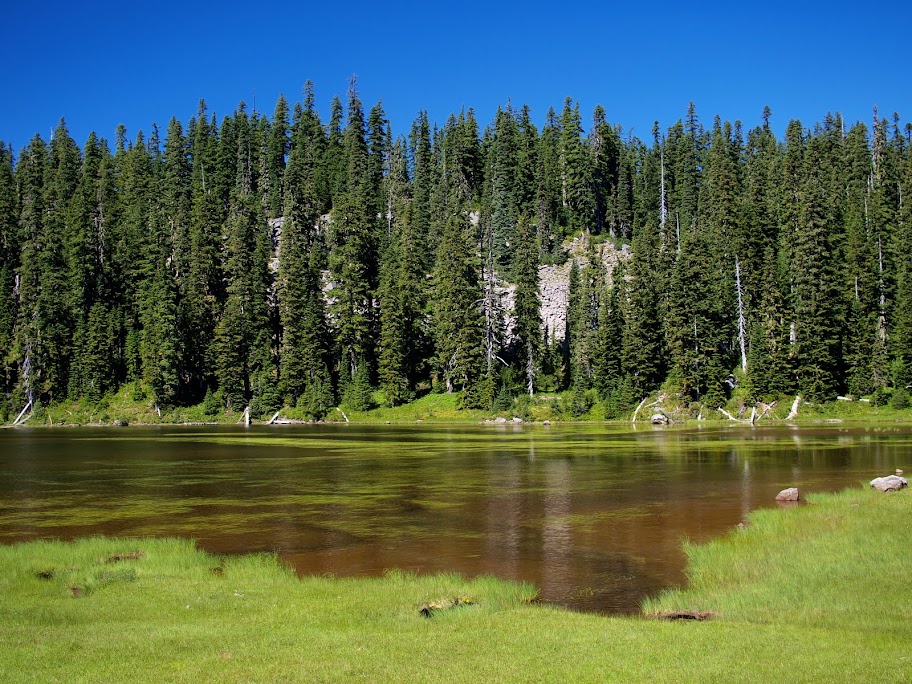
to Bear Lake and soon a junction with the PCT. From here I followed another old trail directly E over the ridge to Clear Lake, from where I could see my goal - Lemei Rock - in the distance.
From Tr 34, I climbed up Lemei's NW ridge, then scrambled along the rocky ridge - one exposed move - to the summit. Because Lemei is the highest point in the Indian Heaven Wilderness, it commands great views in all directions, including Adams to the NE,
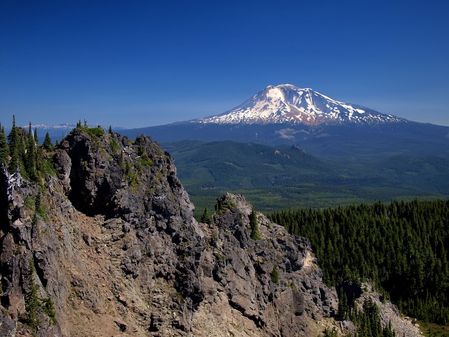
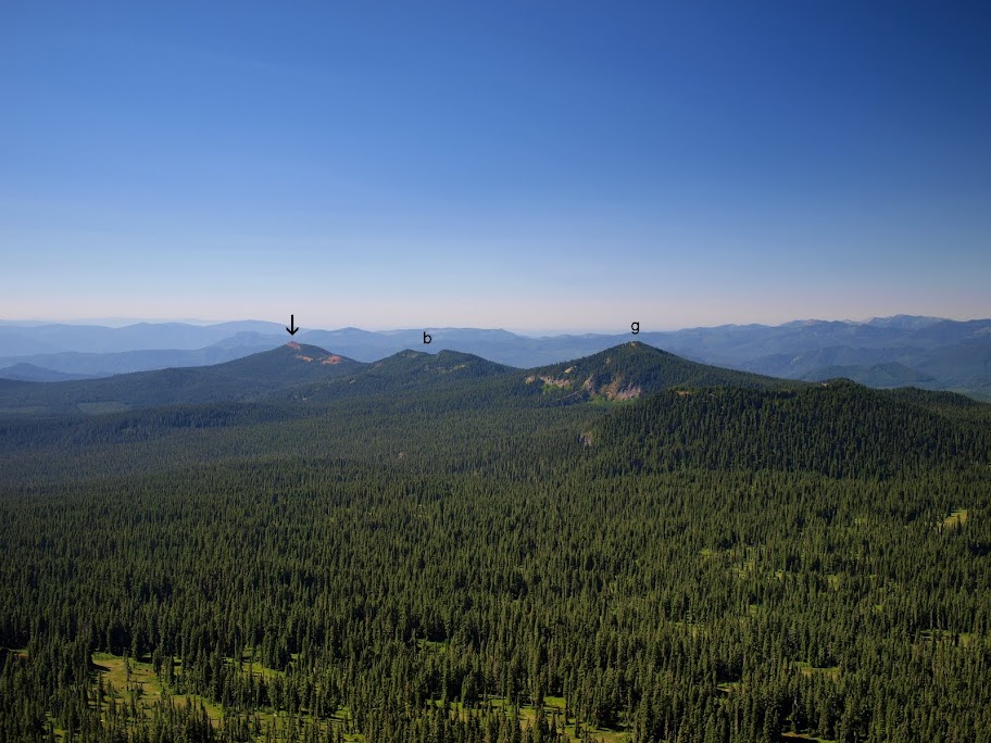
Red Mountain (arrow), Berry Mtn (b), and Gifford Peak (g) to the SW,
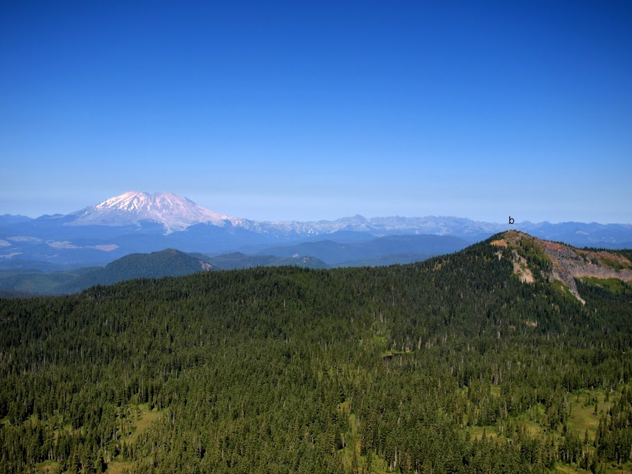
St. Helens and Bird Mtn (b) to the W,
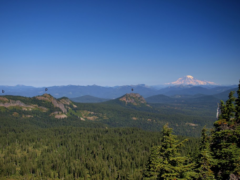
Rainier, Bird Mtn (b, out of view), Pt 5568, and Sawtooth Mtn (s) to the N,
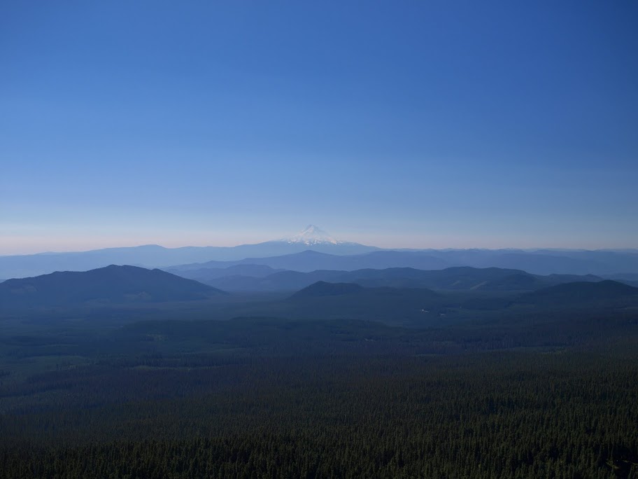
and, of course, Hood to the S - still somewhat obscured by smoke.
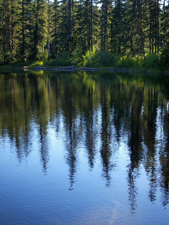
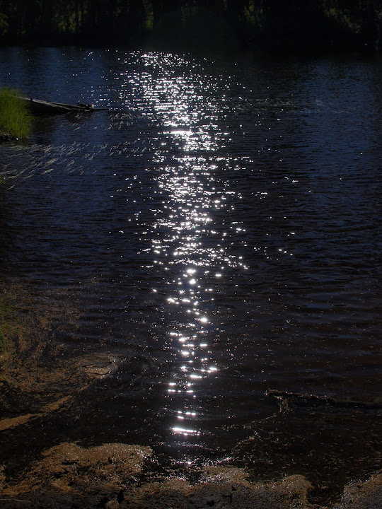
After lunch on Lemei, I took Tr 179 past Lemei Lake,
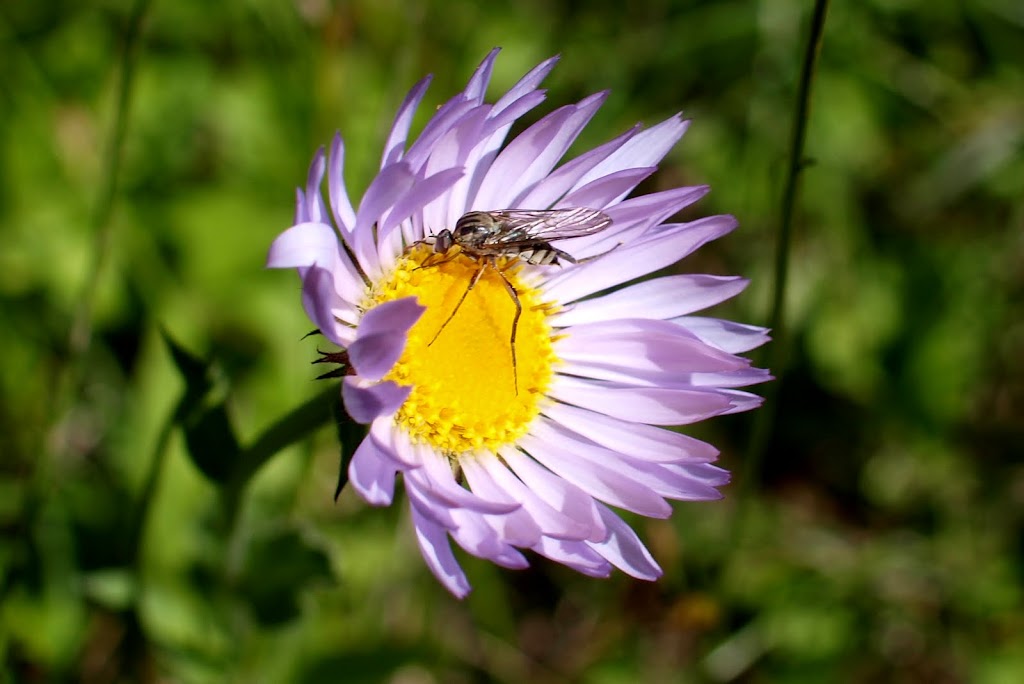
then got a close look at some wildlife,
before finally reaching Junction Lake - where I ran into the largest collection of people (7) I'd see the whole day.
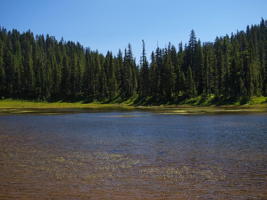
To make a loop, I went a little S on the PCT from Junction, then turned due W and went XC to Rock Lake and Tr 111.
From there it was easy trail back to the TH.
A near perfect hiking day - sunny, crisp, full bluebird weather with clear trails, easy XC, NO BUGS