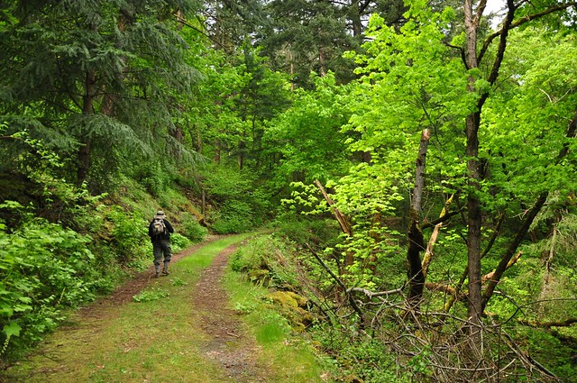
We soon reached a water tank, which I'm guessing supplies water to the rest area below.
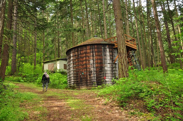
We soon got nice views of some interesting rock formations to the north. The freeway is on the other side of these formations.
The old road goes up and up.
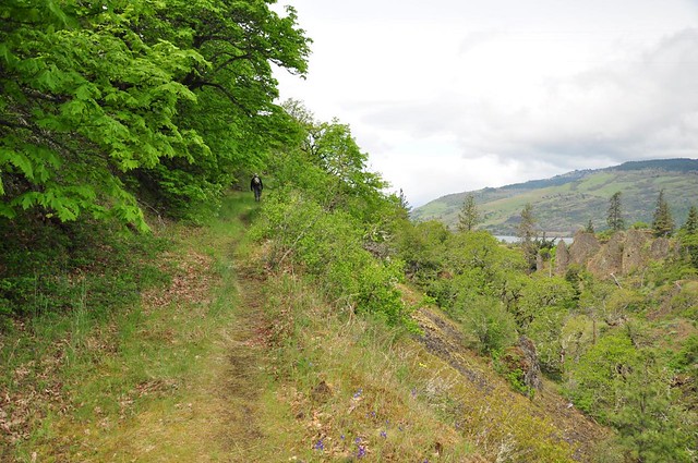
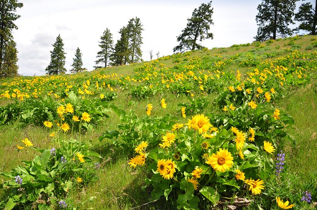
And then it comes out at Memaloose Overlook, where there are some nice wildflowers blooming right now. Then we crossed the road and followed the trail into the trees.
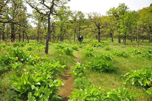
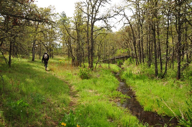
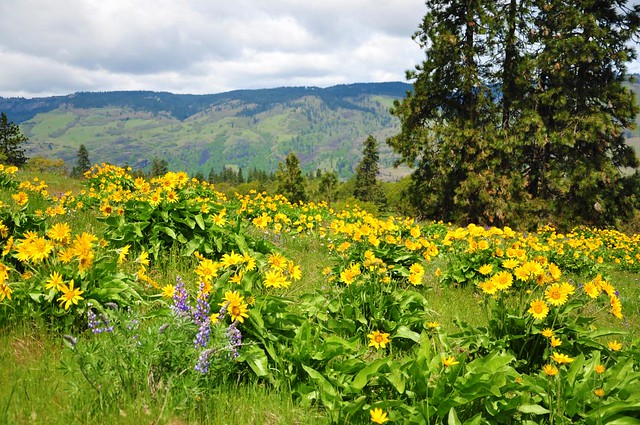
This stretch of trail was SUPER nice, just an absolute pleasure to wander along. It was a mix of grassland, trees, and of course wildflowers.
We crossed a tiny little stream that will probably be dried-up in a month.
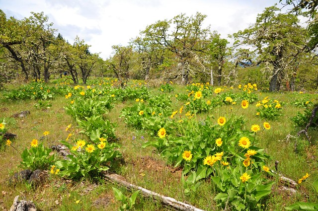
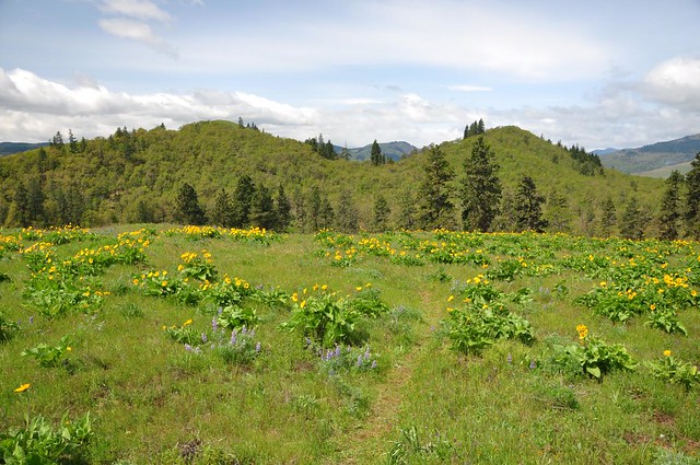
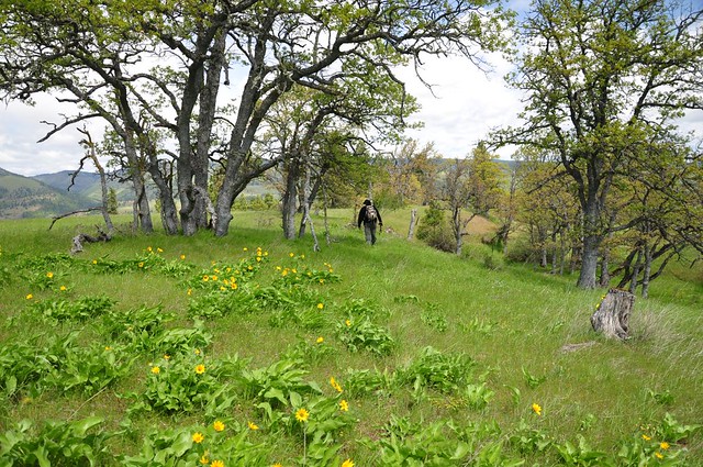
The trail climbed up onto a hill. It's unlabeled on the topo maps, but I've heard it referred to as Memaloose Hill. The views are pretty sweet up here, and right now we're in that narrow window when everything is still GREEN and hasn't dried up and turned brown in the summer heat. We had views of two smaller hills to the west:
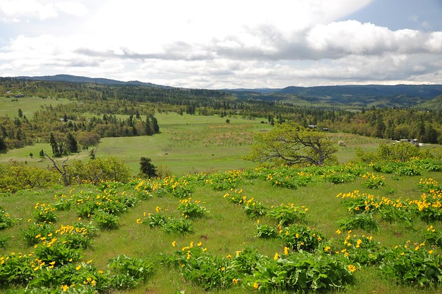
And an orchard down below to the south:
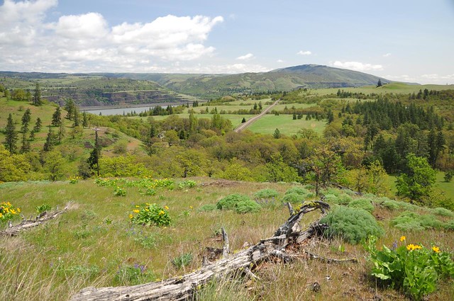
And Highway 30 heading off to the east to Rowena Plateau:
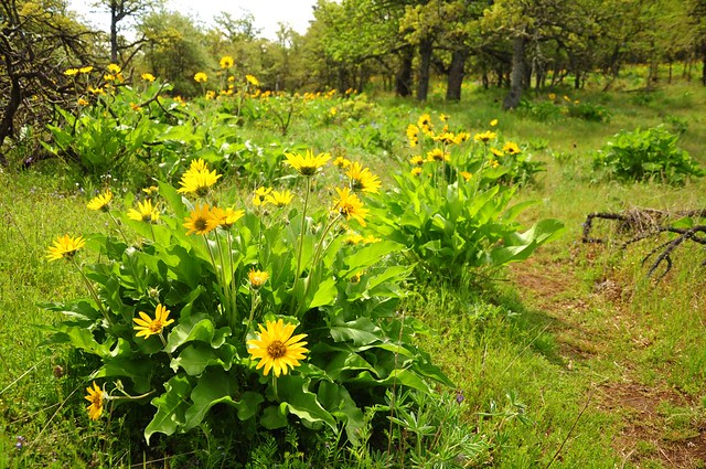
And the flowers up there were fantastic! They looked better than the balsamroot we saw at Rowena and at Dalles Mountain Ranch.
The one downside to our time on this hill: the wind was RAGING. It was super windy which made photography challenging and also sapped away all the warmth of the sun. I would have loved to hang out on this hill and enjoy the views and flowers, but that was out of the question with the wind, so we started trying to find where the trail continued from there. The trail had vanished at the summit, but we knew we had to get down off the hill on the south side and cross the grasslands below, cross Marsh Cutoff Rd, and continue on the other side. We ended up descending on the north side, though, and decided to skip the part of the trail east of Marsh Cutoff Rd. We walked east along Highway 30 looking for where the trail continued north down towards the freeway and we spotted a faint track in the grass, which we followed. It turned out to be the right path.
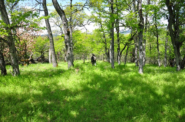
The trail was faint, although we were helped out by flagging. There wasn't as much balsamroot down here, but the going was still very pretty and so very green. Dang I love spring!!
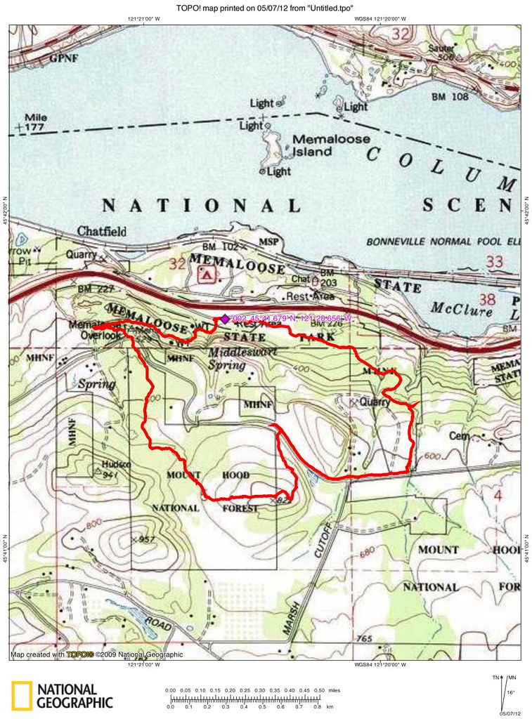
We came out at the rest area and did a thorough tick check on each other. None found fortunately! And we seem to have escaped the poison oak (of which there was LOTS). Here's our track. We did 3.7 miles with about 700 feet elevation gain.
This is a great little hike. I can't recommend it enough!