Cedar Mtn / Aldrich Butte Loop 11-Feb-2012
Posted: February 11th, 2012, 5:41 pm
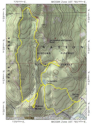
This one has been on my to do list since last December, when I bailed on it to hike Table Mtn instead. This mixed trail/off-trail loop seemed just right for today's ambivalent un-bluebird weather. I took the Dick Thomas trail (good condition, no blowdowns, little mud) from the Bonneville Hot Springs TH to Carpenters Lake. When I left the TH it was sunny - by the time I reached the lake, it was starting to cloud up.
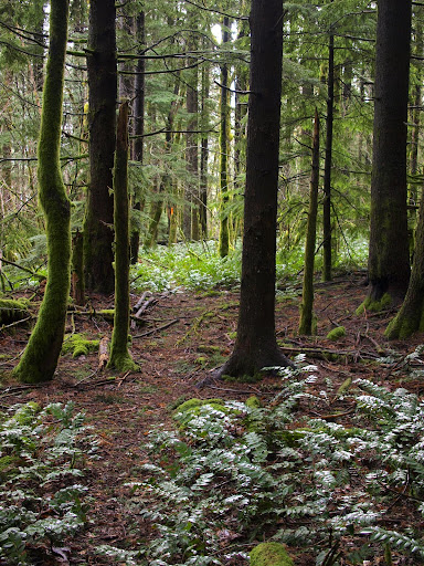
From there, I took the Two Chiefs Trail (good condition, few blowdowns, little mud) to the PCT, then followed that (good condition, no blowdowns, no mud) W to the kiosk at the bottom of Table's W ridge. I turned S here and followed the use trail atop the ridge S toward Cedar Mtn. For a use trail it was pretty easy to follow and there were no blowdowns. The trail is least distinct where it crosses a wide saddle at 1600', but there is orange flagging in this section.
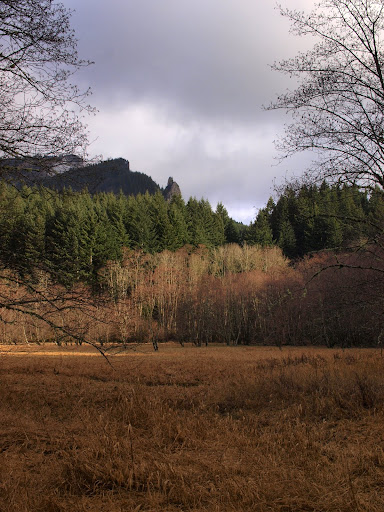
This is not a trail with many views but there are a couple of open areas,
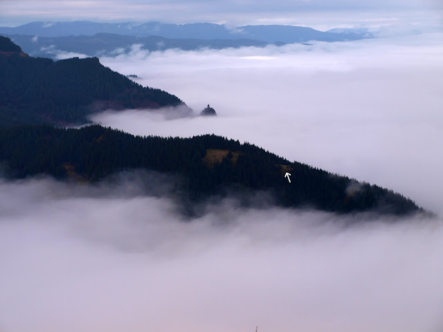
where I might have been able see Hood had not the clouds settled in. I did get a view of the E side of Hamilton,
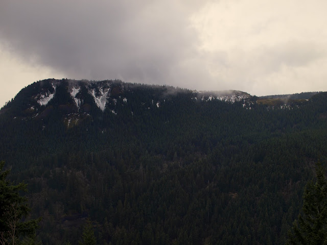
from this point (arrow) on Cedar Mtn ridge (this photo was taken on a previous hike).
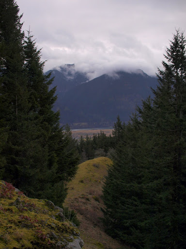
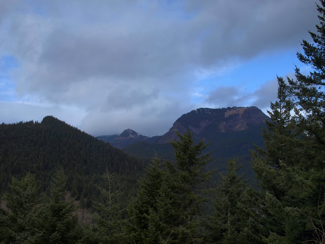
I continued on down the use trail to the nice trail that crosses Cedar Ck and climbs up to the Aldrich Butte Road. After a snack at the creek, I went up to the Butte to look at the old WWII remains and take in the views of Table Mtn,
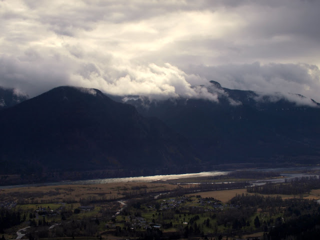
Dog and Wind Mtns,
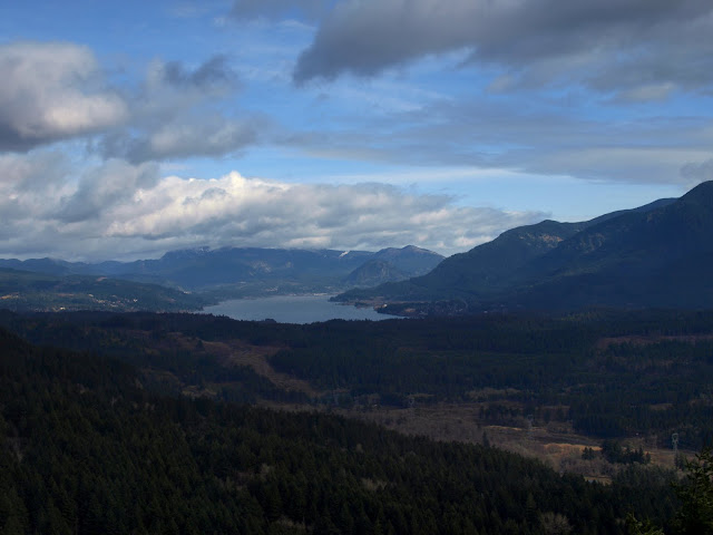
and the Columbia.
From the Butte, I headed down to Carpenters Lake, then took the road S to the power lines and then followed the gas line road back to Bonneville. A short hike (9.2. mi, 3100' EG) but one that would be well worth repeating on a clear, warm, sunny day.
From there, I took the Two Chiefs Trail (good condition, few blowdowns, little mud) to the PCT, then followed that (good condition, no blowdowns, no mud) W to the kiosk at the bottom of Table's W ridge. I turned S here and followed the use trail atop the ridge S toward Cedar Mtn. For a use trail it was pretty easy to follow and there were no blowdowns. The trail is least distinct where it crosses a wide saddle at 1600', but there is orange flagging in this section.
This is not a trail with many views but there are a couple of open areas,
where I might have been able see Hood had not the clouds settled in. I did get a view of the E side of Hamilton,
from this point (arrow) on Cedar Mtn ridge (this photo was taken on a previous hike).
I continued on down the use trail to the nice trail that crosses Cedar Ck and climbs up to the Aldrich Butte Road. After a snack at the creek, I went up to the Butte to look at the old WWII remains and take in the views of Table Mtn,
Dog and Wind Mtns,
and the Columbia.
From the Butte, I headed down to Carpenters Lake, then took the road S to the power lines and then followed the gas line road back to Bonneville. A short hike (9.2. mi, 3100' EG) but one that would be well worth repeating on a clear, warm, sunny day.