Three Corner Rock (from lower TH) 22-Dec-2011
Posted: December 23rd, 2011, 5:10 pm
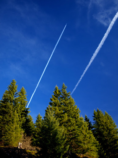
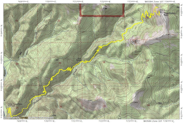
My new job features a 1-day "floating" holiday which must be taken before the end of the last pay period of the year. It was pure coincidence that (1) this required day off fell on last Thursday and (2) last Thursday was a classic bluebird day. I needed something with distance so I could get in 700 mi in 2011 (yes, the loonies could do this in a couple of crazed weekends, but us mere mortals take a whole year) - so the 17 mi RT to Three Corner Rock from its lower TH seemed just right. I left the surprisingly simple TH at 8am under clear, but cold and windy, skies.
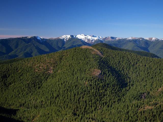
The trail is in good condition with no snow or ice except for a very short patch near the top. It's not a trail with many views until the end, but just before crossing Stebbin Creek, I got a full view of Three Corner and its companion antenna tower.
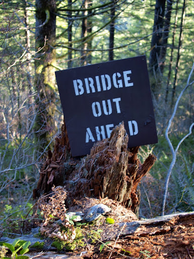
The map says there's a foot bridge across Stebbin, but not any longer.
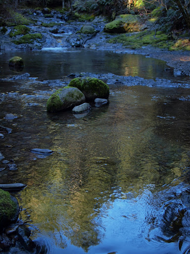
However, since this is a low water year (so far), hopping across the creek was not a problem.
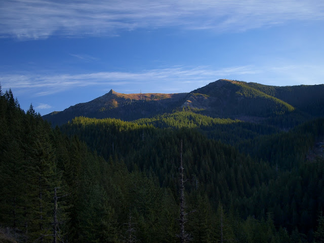
After the trail broke out of the trees, I got another (but closer) view of Silver Star - which is losing its snow.
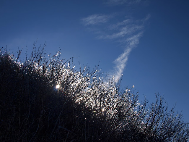
As I neared the summit, I ran into a very strong, very cold, wind, with temperatures low enough to keep icicles on the shrubs.
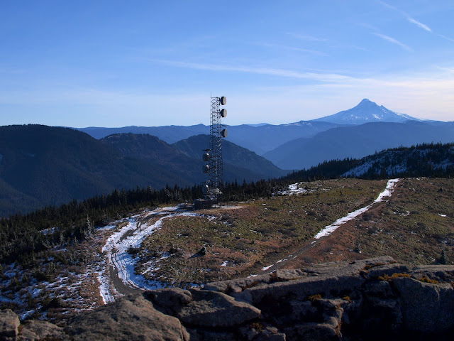
My stay on top was very brief - long enough to see St. Helens, Rainier, Goat Rocks, and Jefferson in the distance, as well as Hood competing with that aesthetically challenged antenna array.
After a quick lunch in a place somewhat sheltered from the wind, I backtracked to the TH in the soft, but fading, winter light. The trail is in such good condition, and generally so evenly graded, that I was back at the car by 3pm, after 17.5 mi and 4200' EG. Just 2.3 mi more to my 700 mi goal!
The trail is in good condition with no snow or ice except for a very short patch near the top. It's not a trail with many views until the end, but just before crossing Stebbin Creek, I got a full view of Three Corner and its companion antenna tower.
The map says there's a foot bridge across Stebbin, but not any longer.
However, since this is a low water year (so far), hopping across the creek was not a problem.
After the trail broke out of the trees, I got another (but closer) view of Silver Star - which is losing its snow.
As I neared the summit, I ran into a very strong, very cold, wind, with temperatures low enough to keep icicles on the shrubs.
My stay on top was very brief - long enough to see St. Helens, Rainier, Goat Rocks, and Jefferson in the distance, as well as Hood competing with that aesthetically challenged antenna array.
After a quick lunch in a place somewhat sheltered from the wind, I backtracked to the TH in the soft, but fading, winter light. The trail is in such good condition, and generally so evenly graded, that I was back at the car by 3pm, after 17.5 mi and 4200' EG. Just 2.3 mi more to my 700 mi goal!