
National Parks have the money though right? I can always tell when I enter a National Park on the PCT as it gets real nice real quick.
On to more important questions though that I think I know the answer maybe. I want to go to the Crab Creek trailhead this weekend. I’d really rather take my EV rather than my gas guzzling Expedition, but it seems that the road is a mess? Is it just slow or do you risk issues with low clearance vehicles? Thanks!
Lewis River area updates

Re: Lewis River area updates
Charley - Important to remember that the vast majority of Gifford Pinchot requires no fees, no reservations, no permits, no NWFP. Even for the Lewis River, there are the southern trailheads. Or take the Speed Trail and swim!
MJ - Well, as of a couple weeks ago, I think low clearance would make it. There were some short and steep hills, but no clearance issues, none of the dropoffs we had a couple years ago. A Prius made it through. Caveat that it has since rained and the road there is unstable. It can and will change.
However, the paved road gets to within a mile of that trailhead, so worst case would be a bit longer walk, if you take the chance.
Re: Lewis River area updates
Perfect. Your answer gets at another question I had as I saw the Speed Trail says “Ford” on my map. Is that a practical Ford this weekend or is it more like the “swim” that you’re maybe half joking about?
Re: Lewis River area updates
It's a long and difficult swim across a strong current - this time of year. At the deepest section, the current was going much faster than a hiker a couple weeks ago, but that was during a heat wave. I assume that trail probably went in when most visitors were on horseback. The ford is probably challenging but doable for hikers in September.
The attached photo shows what the river looked like on May 15 at my camp, about a mile up-river from the Speed Trail ford.
The attached photo shows what the river looked like on May 15 at my camp, about a mile up-river from the Speed Trail ford.
Re: Lewis River area updates
Yeah, I won’t be fording that. Haha. Thanks so much!
Re: Lewis River area updates
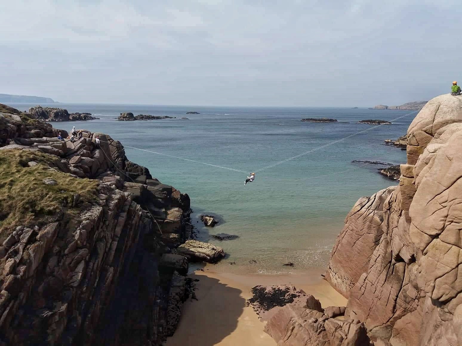
Looks like a candidate for a Tyrolean traverse. 
A 34MB DIY guide: http://www.train4underground.co.uk/wp-c ... averse.pdf

A 34MB DIY guide: http://www.train4underground.co.uk/wp-c ... averse.pdf
Re: Lewis River area updates
Hmmm…the swimming option is looking better and better. Haha.
Re: Lewis River area updates
Especially since somebody needs to swim over and anchor the rope on the far side. Unless you believe Hollywood movies where they just shoot something over - and then trust their weight to it.
I don't usually visit the Lewis River much in late summer so I think I only saw it once or twice then. It's on my list to hike down there from the road and try this some day.
Re: Lewis River area updates
I plan to hike to the other side without swimming so I’ll meet you there to catch it. 
