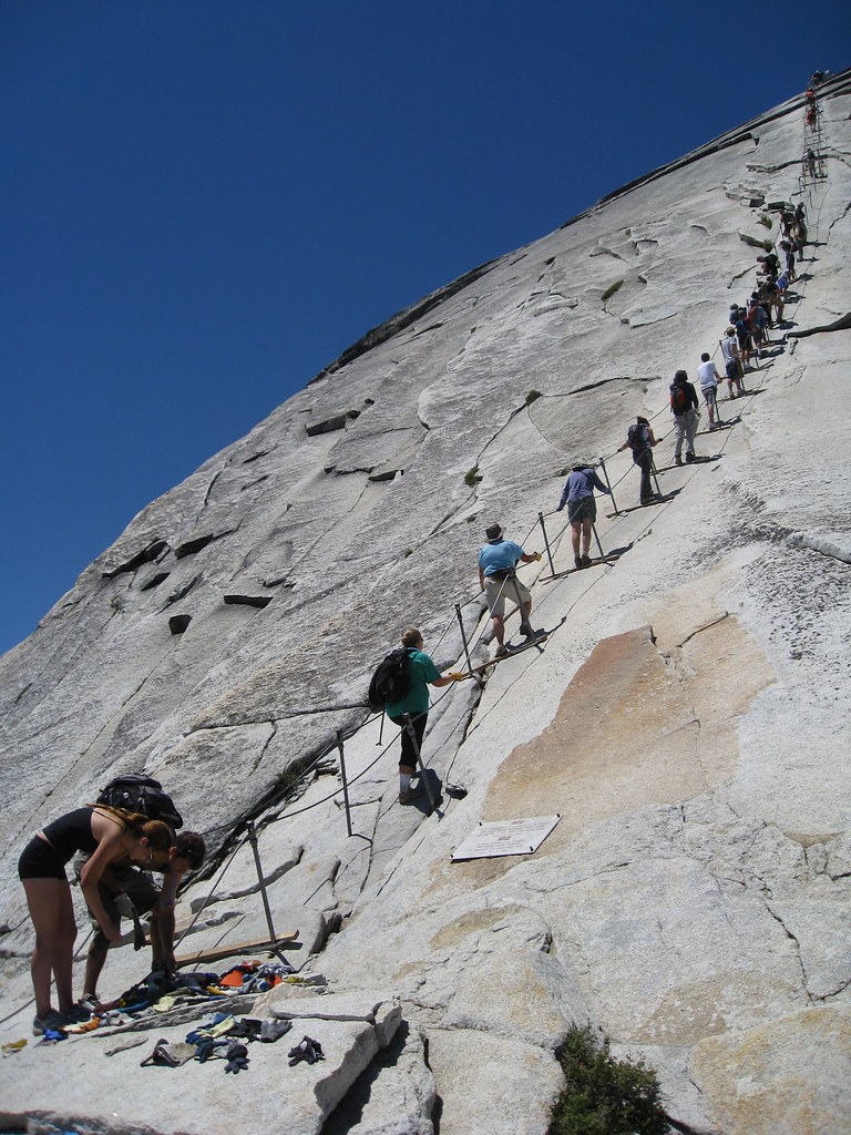
steep trails
Posted: July 6th, 2018, 6:06 pm
Something I posted elsewhere on this board:
"I haven't found anything with a steeper grade than Starvation Ridge trail, based on documented miles/elevation between junctions or other notable points (i.e. no cherry-picking a short steep segment). I've been meaning to start a topic to discuss that, but you know how it is [maybe somebody should...I guess I keep thinking I want to do more research, but maybe it's better to just throw the topic out there for discussion]."
A subsequent reply:
"That'd be a fun thread."
Okay, well, I guess somebody has to get this ball rolling.
nomination: Starvation Ridge
start: Starvation Creek State Park, 120'
end: junction with Mitchel Point Trail, 3250'
elevation gain: 3130'
distance: 2.75 miles
elevation gain per mile: 1138'
source: USDA/USFS page for Starvation Ridge
[I know somebody can beat that. Heck, I could beat that, just by breaking down that trail into segments between junctions and looking for the steepest segment.]
