Page 1 of 1
10 ft Contour Maps
Posted: December 3rd, 2012, 12:25 pm
by BrianEdwards
Regarding this map:
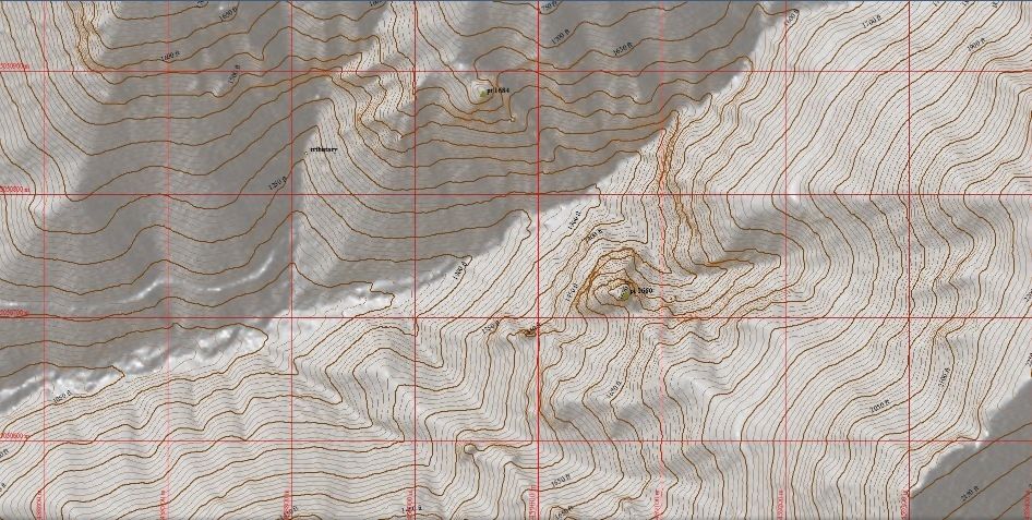
I am curious how to obtain this, and if its very accurate. This map mixed with Lidar and a good aerial image should give a good representation of what's out there.
Re: 10 ft Contour Maps
Posted: December 3rd, 2012, 12:28 pm
by retired jerry
Re: 10 ft Contour Maps
Posted: December 3rd, 2012, 12:39 pm
by BrianEdwards
Thanks Jerry. Looks like I'll be signing up if others on PH's decide to as well.
Re: 10 ft Contour Maps
Posted: December 3rd, 2012, 3:09 pm
by RexSe7en
BrianEdwards wrote:Thanks Jerry. Looks like I'll be signing up if others on PH's decide to as well.
I plan to sign up and I know a few others have talked like they plan to attend as well. Sign up and we'll see you there!!! Hopefully someone will be able to chime in on a good source.
Re: 10 ft Contour Maps
Posted: December 4th, 2012, 1:03 am
by Adventure Mapper
The 10 ft. contour lines are generated from the same LiDAR data that is viewed "under the contours" as a hillshade. I can't find the complete metadata but the underlying LiDAR data is certainly more accurate than any handheld GPS receiver, probably less than a meter. The data is available from the Oregon Geospatial Enterprise Office but it comes in a seldom used format called a "coverage" (.adf). A GIS program such as Global Mapper or QGIS or ArcMap is needed to work with data in this format. Once a DEM (Digital Elevation Model) is loaded, GIS programs can generate contour lines at any interval.
For a few areas LiDAR data is available as 1/9th arcsec DEM (Digital Elevation Model) or hillshade from the National Map. Also, DOGAMI has a LiDAR viewer. It is somewhat easier to view data from these sources but you will find it difficult to overlay your tracks and/or aerial photos without a viewer that can geo-reference the data.
What I hope to do in my class at PCC
http://www.pcc.edu/schedule/default.cfm ... topicCode=
is to give people a basic understanding of cartography and GIS so they can get past the ugly details of getting geographic data. Once people are comfortable with geographic data they can use their own creativity to make custom maps to suit their own purpose. Understanding geographic data and cartography is like understanding geology or botany or photography. It enhances the wilderness experience.
Re: 10 ft Contour Maps
Posted: December 4th, 2012, 1:21 am
by Adventure Mapper
I found the metadata for the LiDAR data of the Lester Creek area.
Re: 10 ft Contour Maps
Posted: December 4th, 2012, 9:47 pm
by BrianEdwards
Thanks for the time and info Jay. Now that I know you're a teacher, I'll stop trying to get secrets out of ya

Never expected it
Re: 10 ft Contour Maps
Posted: December 4th, 2012, 11:46 pm
by Adventure Mapper
I'm not a teacher by profession. I just happen to know some about cartography for wilderness exploration. My PCC class is community education so anyone can take it.
I was able to get 10 ft. contours made using only publicly available data and free software tools. The resulting files are too large to send and the underlying LiDAR data has gaps so I won't work on it more but I'm glad to know it can be done.
I'm happy to help with cartography when I can.