Thanks for the great feedback, all -- the comments suggesting this photo was taken from a point further east sent me to Google Earth for a better look at the perspectives. First, a look at pre-Bonneville topo map shows how different the river shore was in the vicinity of Mayer State Park at the time this brochure was printed:
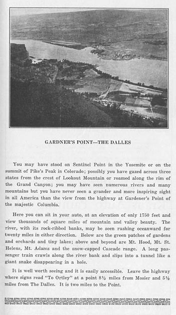
Next, looking at the photo from the old brochure, then a Google Earth view, you can find the point on Sevenmile Hill that looks to be the old viewpoint -- first, the brochure view:
Next, the Google Earth view:
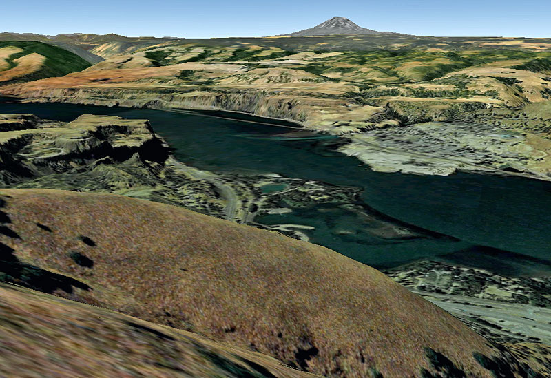
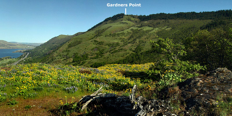
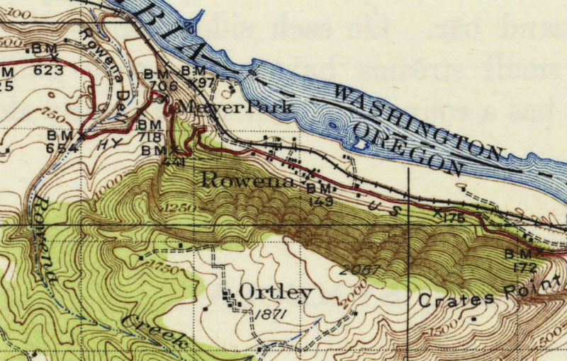
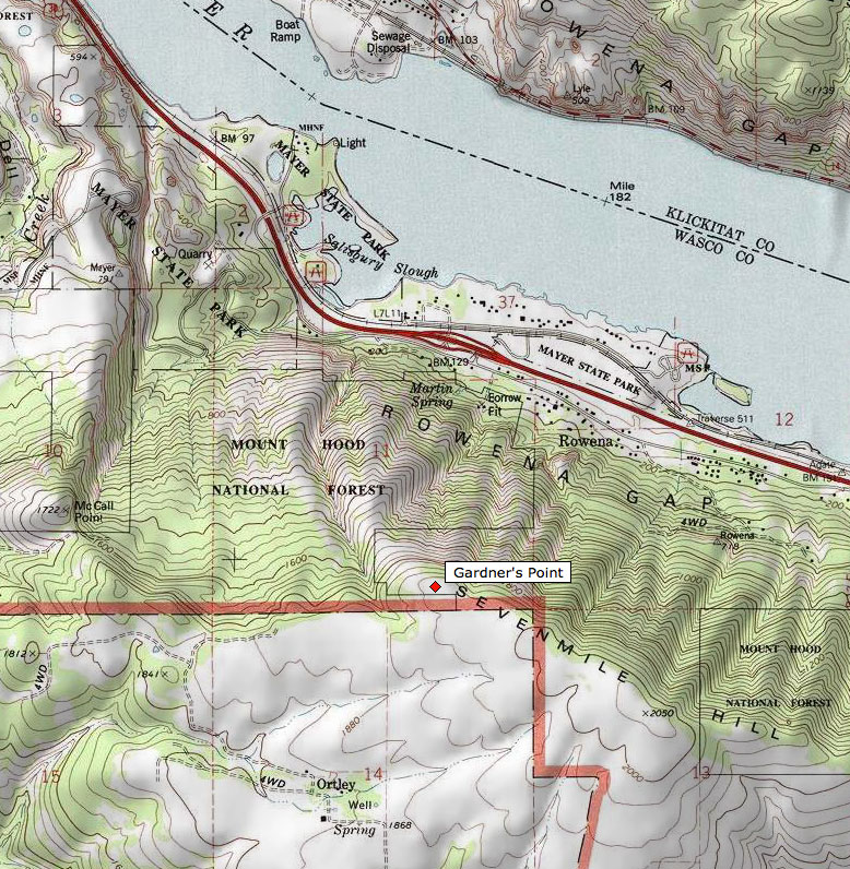
The key is the grassy, sloped ridge in the immediate foreground that the railroad ducks behind -- this is part of a prominent ridge that identifies the viewpoint by interpolation. It's the ridge under the word "Forest" on this modern topo, and I've also labeled the corrected location of Gardner's Point:
Google Earth shows farm roads running along the entire rim, and it looks like Jane walked right across this spot on her hike. It would be a great place to search with a metal detector -- probably some artifacts to be found up there!
Tom
Gardner's Point (circa 1920s)
- Splintercat
- Posts: 8333
- Joined: May 28th, 2008, 10:03 pm
- Location: Portland
- Contact:
Re: Gardner's Point (circa 1920s)
Very cool Tom, now I have somewhere else I need to go!
Here is some interesting info on Ortley:
http://www.ghosttowns.com/states/or/ortley.html
Here is some interesting info on Ortley:
http://www.ghosttowns.com/states/or/ortley.html
- Splintercat
- Posts: 8333
- Joined: May 28th, 2008, 10:03 pm
- Location: Portland
- Contact:
Re: Gardner's Point (circa 1920s)
Thanks, Guy... not much of a town, but hey, it's on the map!
Here's another view of what I believe to be Gardner's Point (or Gardners Point), from a more familiar perspective:
So, Jane's route took her right over the top of it!
Tom
Here's another view of what I believe to be Gardner's Point (or Gardners Point), from a more familiar perspective:
So, Jane's route took her right over the top of it!
Tom