Mooney Airplane Crash Site Found on Mt. Hood (Part 1)
Posted: July 31st, 2010, 5:32 pm
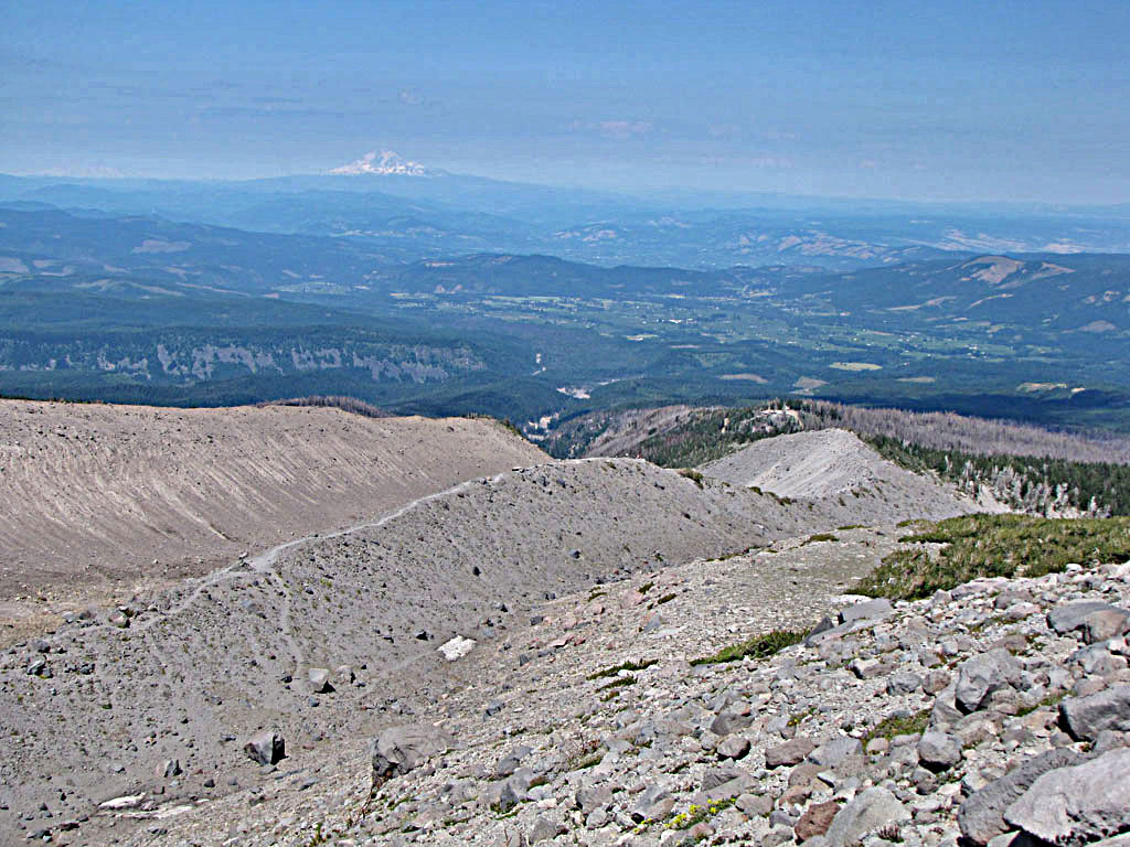
Cloud Cap - July 30, 2010
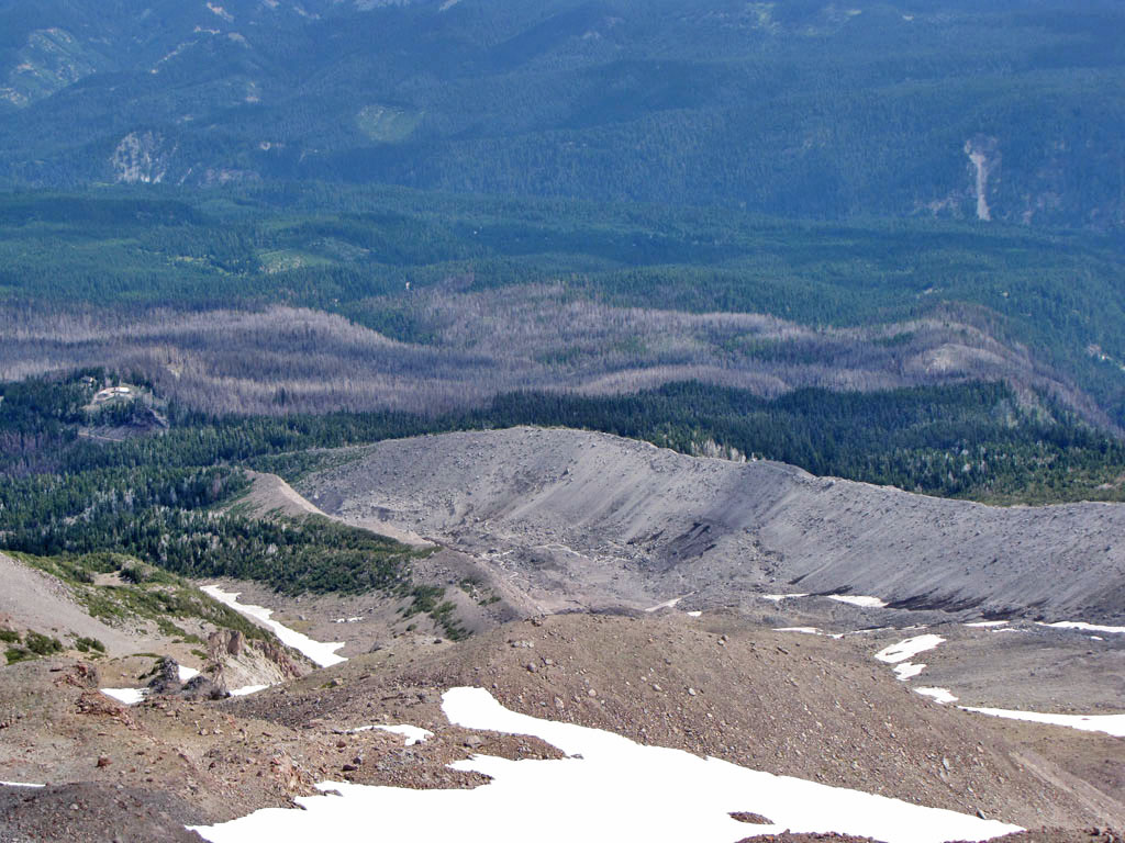
The Eliot crossing remains a problem and if anything was worse than last year with fresh landslides wiping out what little trail there had been. We started up the east moraine and just picked a place to descend below to the place where all the streams converged. It was slow going and difficult to cross without getting wet.
One of our objectives was to find some airplane wreckage. Thomas had been telling me for some time about a crashed Mooney somewhere on the other side of the Langille Crags. He once visited the crash site long ago, but been unable to find it again. We hiked the Timberline Trail to the last ridge before the Coe Crossing and started up.
At 6,700 feet we were working up a boulder field and came upon the main wreck.
01 Mooney Crash
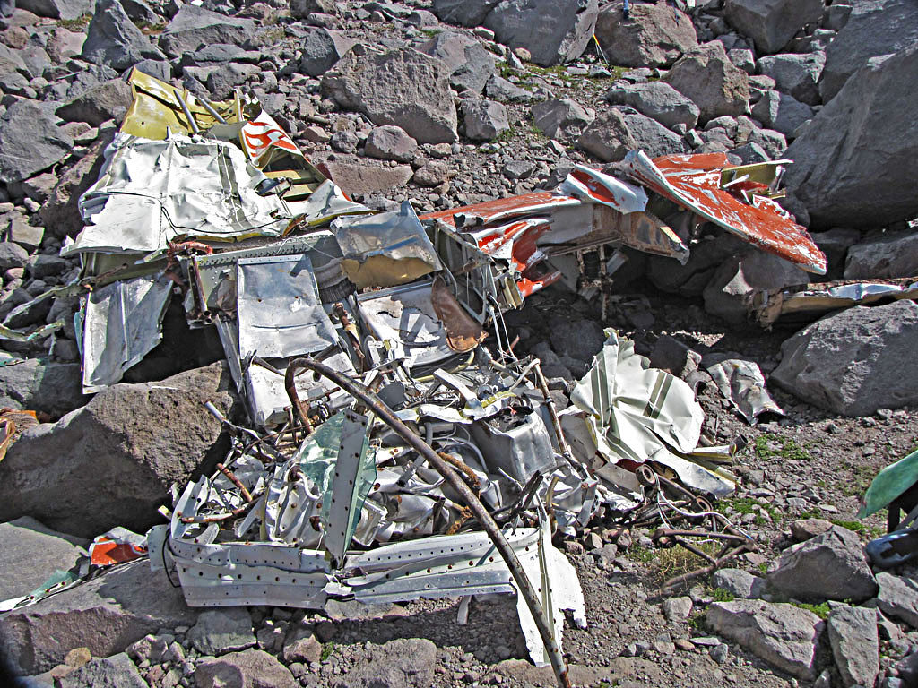
It was December 1, 1975. The pilot had only 115 hours of experience and no instrument rating. He was headed for Hillsbough from Redding California, descending through snow, sleet and freezing rain, 53 miles off what would have been a direct course.
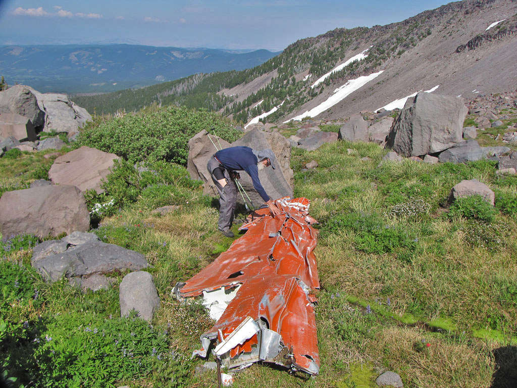
02 Thomas inspects Mooney wing
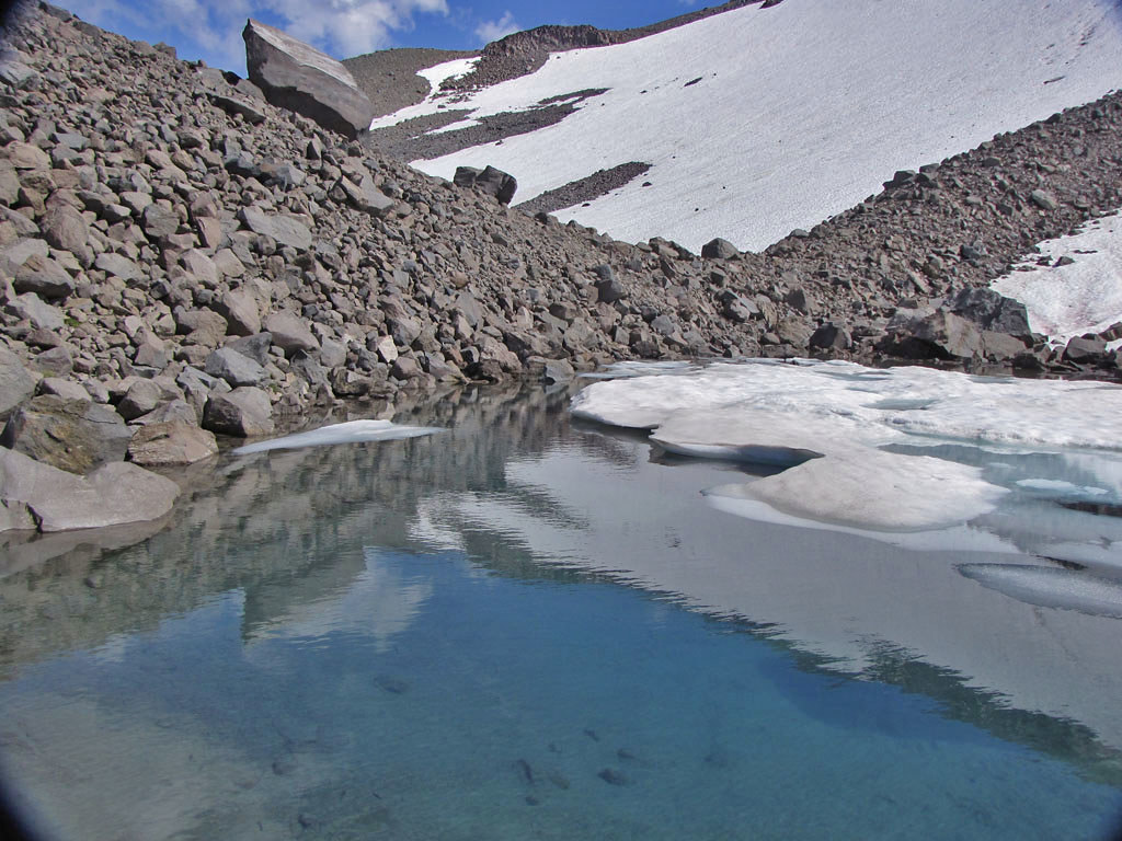
03 Tarn above Mooney site
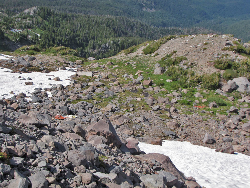
04 Looking down from Tarn, Mooney Crash and Wing
We spent the rest of the day exploring the area and camped in the trees below the crash site. We planned to go up the top of the Langille Crags just below Snow Dome and descend the Moraine back to Cloud Cap.
The night was cool and clear. We watched the twinkling lights of Parkdale and Hood River as the Moon rose nearly full.
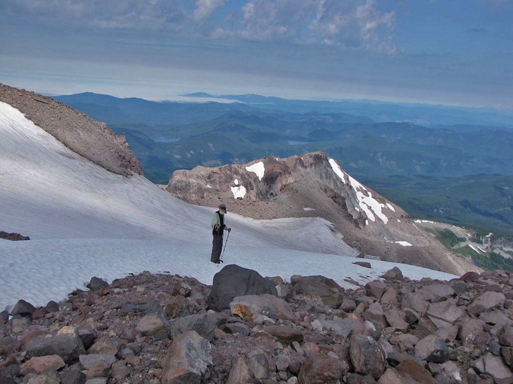
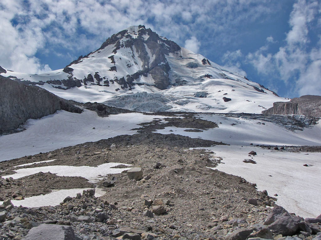
05 View from Camp - Our objective is the high, rocky knob directly on the left mountain skyline
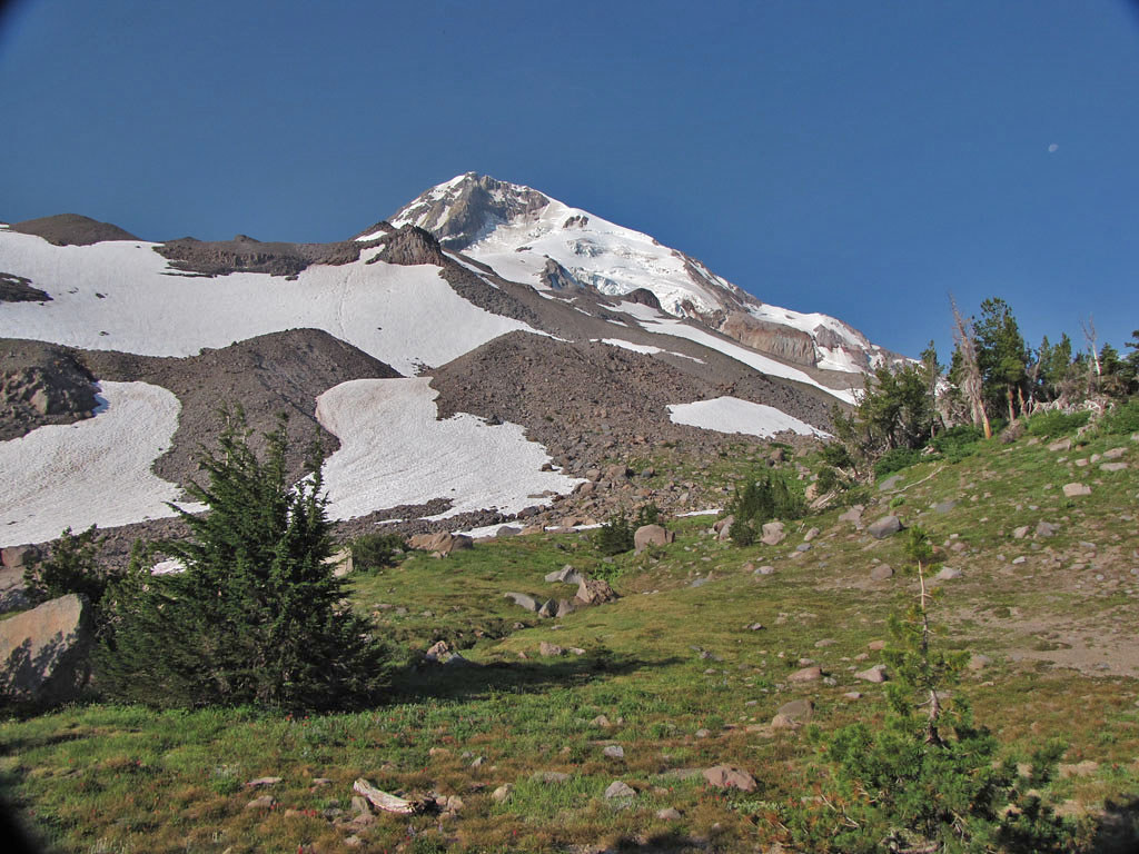
06 Eliot Glacier
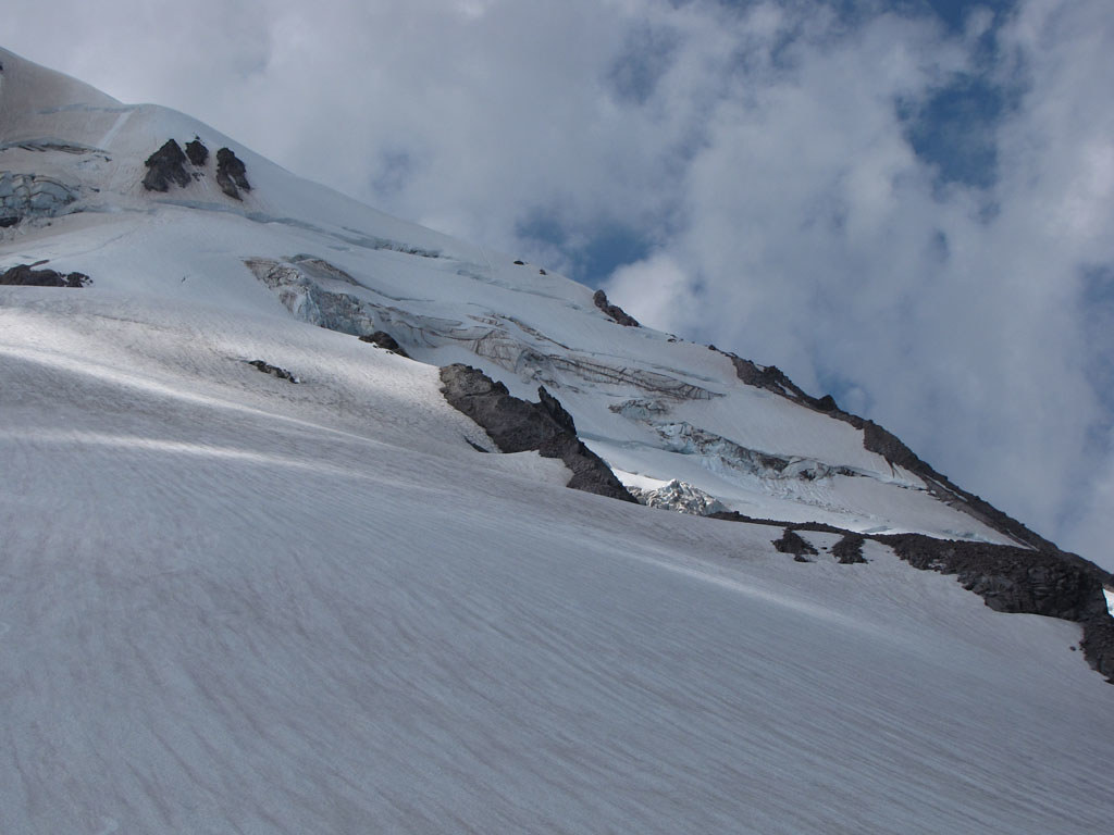
07 Langille Crags
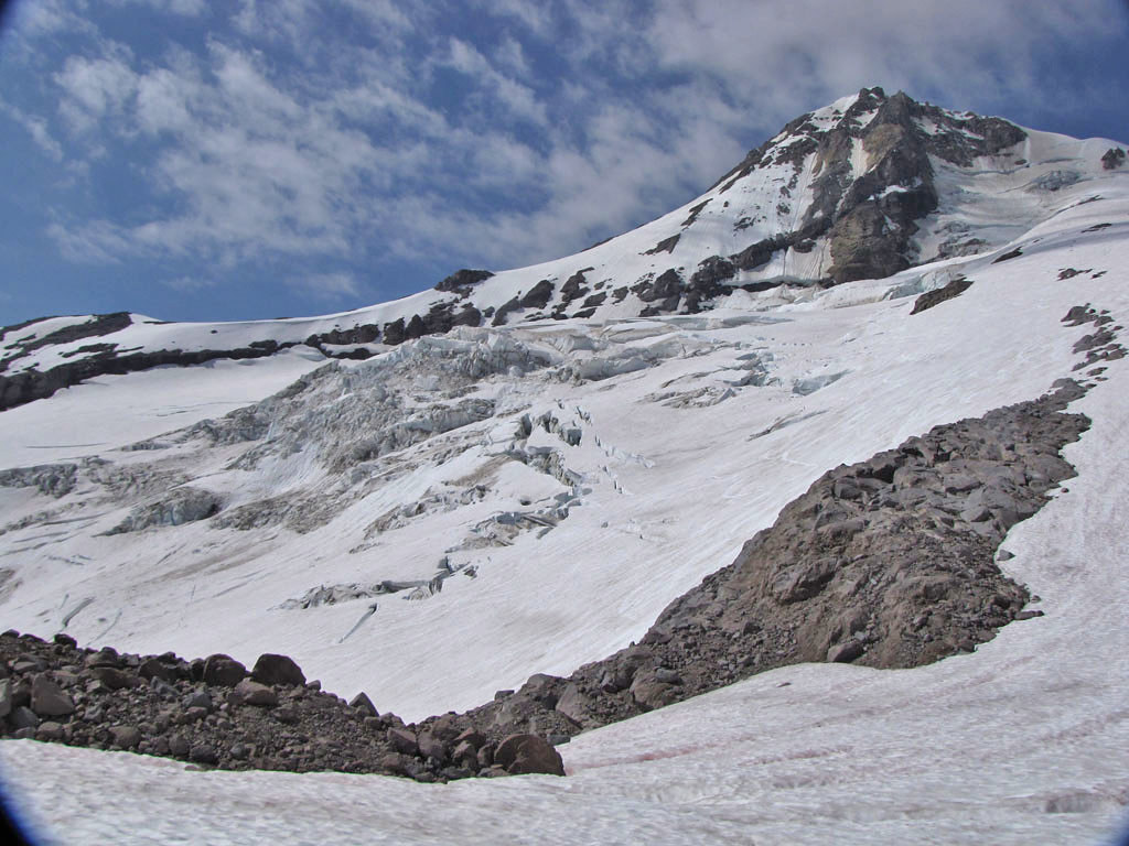
08 Coe Glacier
09 The Eliot, Cloud Cap
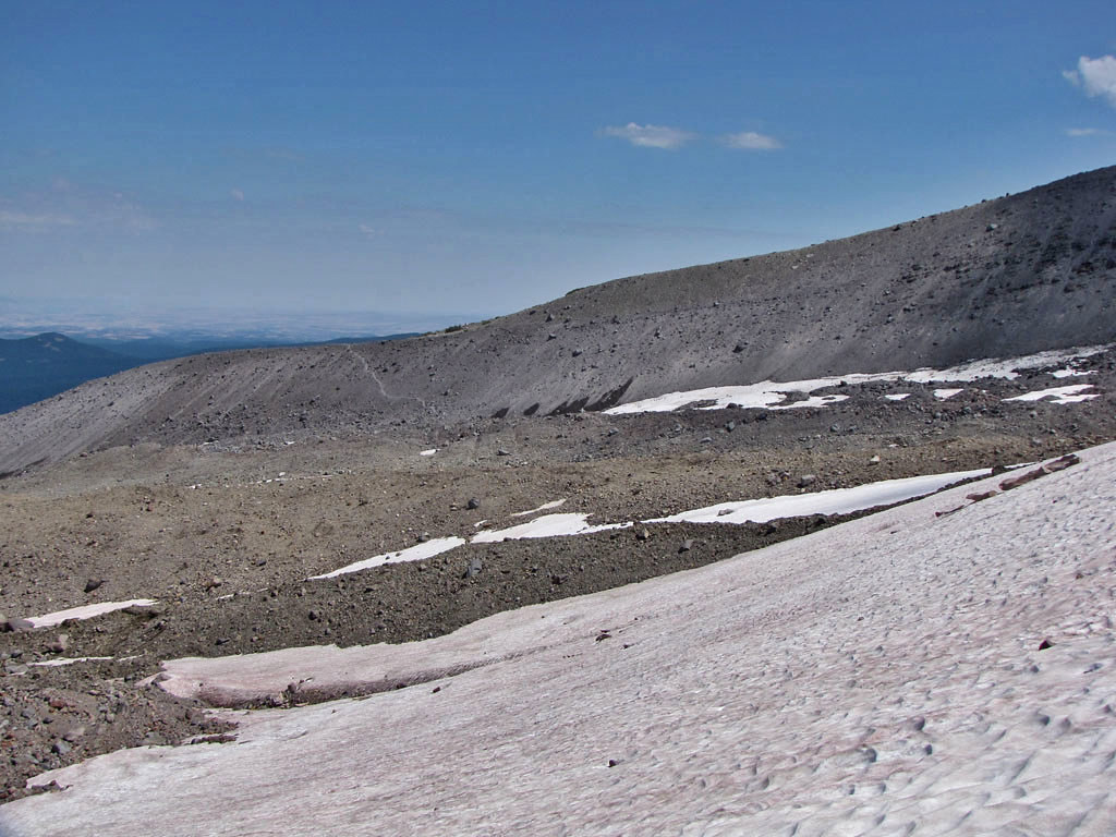
We crossed the Eliot right under the Langille Crags, headed for the glacier access trail on the east side. This crossing was easier than the lower crossing we had done the day before, but is not a real alternative for those doing the Timberline Trail because of all the additional uphill. It was only convenient for us because we were going down.
10 Upper Eliot Crossing
11 Looking up midway across Eliot
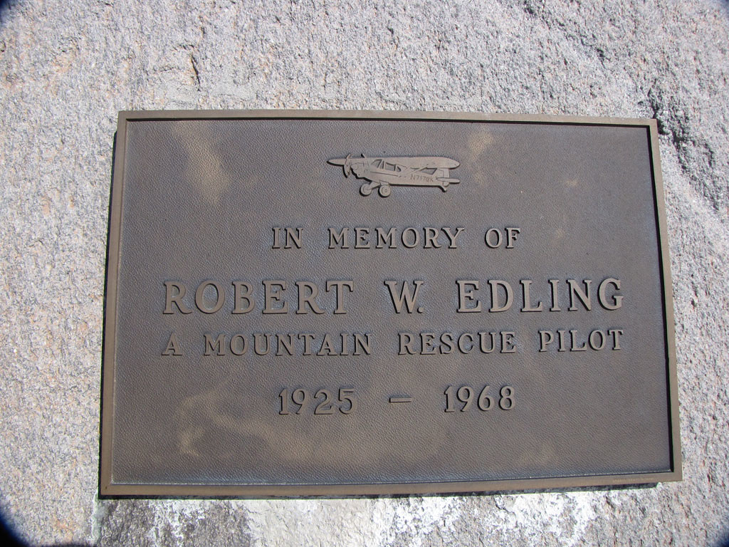
A few hundred feet above the Eliot glacier access trail, near tree line, a bronze plaque tells another story.
12 Another Pilot - Another Story
13 Heading Down
Back at Cloud Cap we relaxed and made coffee before taking the long dusty hill down.
The Eliot crossing remains a problem and if anything was worse than last year with fresh landslides wiping out what little trail there had been. We started up the east moraine and just picked a place to descend below to the place where all the streams converged. It was slow going and difficult to cross without getting wet.
One of our objectives was to find some airplane wreckage. Thomas had been telling me for some time about a crashed Mooney somewhere on the other side of the Langille Crags. He once visited the crash site long ago, but been unable to find it again. We hiked the Timberline Trail to the last ridge before the Coe Crossing and started up.
At 6,700 feet we were working up a boulder field and came upon the main wreck.
01 Mooney Crash
It was December 1, 1975. The pilot had only 115 hours of experience and no instrument rating. He was headed for Hillsbough from Redding California, descending through snow, sleet and freezing rain, 53 miles off what would have been a direct course.
02 Thomas inspects Mooney wing
03 Tarn above Mooney site
04 Looking down from Tarn, Mooney Crash and Wing
We spent the rest of the day exploring the area and camped in the trees below the crash site. We planned to go up the top of the Langille Crags just below Snow Dome and descend the Moraine back to Cloud Cap.
The night was cool and clear. We watched the twinkling lights of Parkdale and Hood River as the Moon rose nearly full.
05 View from Camp - Our objective is the high, rocky knob directly on the left mountain skyline
06 Eliot Glacier
07 Langille Crags
08 Coe Glacier
09 The Eliot, Cloud Cap
We crossed the Eliot right under the Langille Crags, headed for the glacier access trail on the east side. This crossing was easier than the lower crossing we had done the day before, but is not a real alternative for those doing the Timberline Trail because of all the additional uphill. It was only convenient for us because we were going down.
10 Upper Eliot Crossing
11 Looking up midway across Eliot
A few hundred feet above the Eliot glacier access trail, near tree line, a bronze plaque tells another story.
12 Another Pilot - Another Story
13 Heading Down
Back at Cloud Cap we relaxed and made coffee before taking the long dusty hill down.