Blowdown on Elk Cove Trail #631 (March 1)

Use this forum to report and discuss trails in need of maintenance. This will help organizations like TKO and agencies like the Forest Service get the most recent on-the-ground trail conditions.
Post Reply
User avatar
Splintercat
Posts: 8334
Joined: May 28th, 2008, 10:03 pm
Location: Portland
Contact:

Blowdown on Elk Cove Trail #631 (March 1)

Post by Splintercat » March 2nd, 2015, 8:32 pm

Lots of blowdown on the lower half of the Elk Cove Trail (No. 631), I think from the freezing rain/fog episode a few weeks ago in the Hood River area. The debris is progressively less as you approach the viewpoint at 4,700 feet, not sure beyond that point (trail is also mostly clear of snow to that point). I didn't have any tools with me when I hiked it yesterday, but did clear most of the small debris, dragged dozens of smaller trees of the trail and limbed the really big stuff (caveman style) on the trail to encourage hikers to stay on the tread. But there are dozens of logs, a few greater than 12" in diameter. Almost all of the major damage is outside the wilderness boundary -- and a day or two for a saw crew to log out (would be my guess).

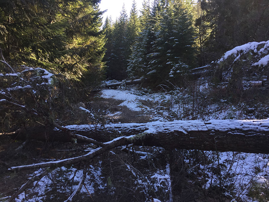
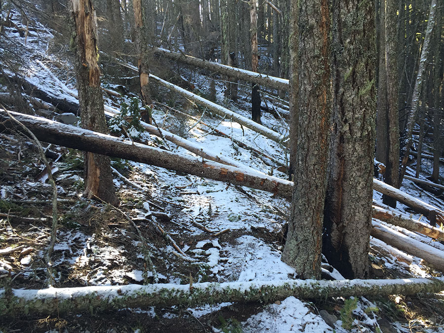
Some photos -- starting with a couple of big trees across the old road section, just up from Pinnacle Creek. These (and others along the road) offer a good opportunity to focus the tread and narrow the trail in this section, too:

Image

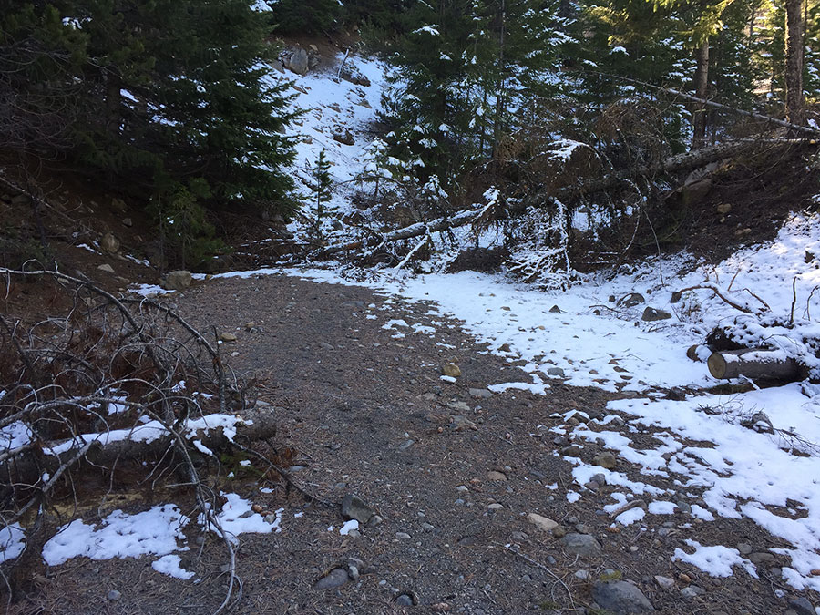
At the switchback on the road section:

Image

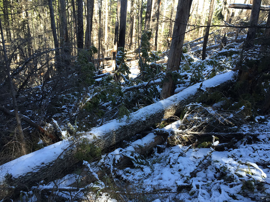
Just above the switchback -- ended up clearing quite a bit of this:

Image

Super-fortuitous trees down right at the point where the trail section leaves the old road -- and where hikers used to routinely walk past the cairn and trail (on left), so nature helped us with this one:

Image

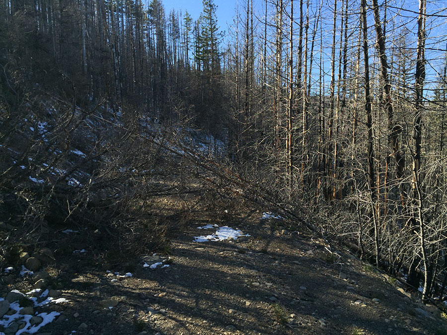
Lots of this in the switchback section where the trail gains the ridge -- and also an island missed by the Dollar Fire:

Image

Messy pile in the switchback section - limbed a route close to the tread, but needs a chainsaw:

Image

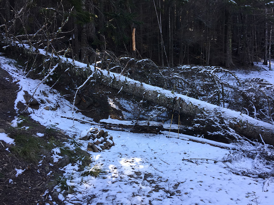
The only really big (larger than 6-8") log beyond the wilderness boundary -- this is looking north, and the boundary sign is tacked on the other side of the tree immediately behind the broken trunk in the air... so, maybe 50 feet inside the marked boundary:

Image

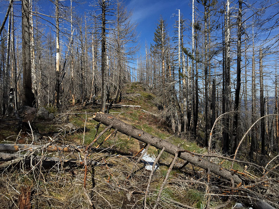
According to the USFS website, this was logged out in July 2013, but I didn't see much in the way of cut ends, so this looks like the first big blowdown since the fire. Tread is looking great, though easy to lose in debris.

Tom

User avatar
retired jerry
Posts: 14424
Joined: May 28th, 2008, 10:03 pm

Re: Blowdown on Elk Cove Trail #631 (March 1)

Post by retired jerry » March 3rd, 2015, 7:53 am

thanks for cleaning that up Tom

I wonder if there was more blowdown because of the fire?

User avatar
Splintercat
Posts: 8334
Joined: May 28th, 2008, 10:03 pm
Location: Portland
Contact:

Re: Blowdown on Elk Cove Trail #631 (March 1)

Post by Splintercat » March 3rd, 2015, 8:11 am

Probably doesn't help, Jerry, but a lot of what came down was stuff (either living or dead) with a log of small branches, e.g., surface for ice and snow to grab onto. Lots of mosaic burn in there -- I sort of expected the area to be complete scorched (ala Vista Ridge) given that the fire started right near the viewpoint, but there are sizable stands of trees that survived throughout, so that should speed up the recovery.

It will be huckleberry heaven for decades to come, that's for sure! :)

Tom

Post Reply