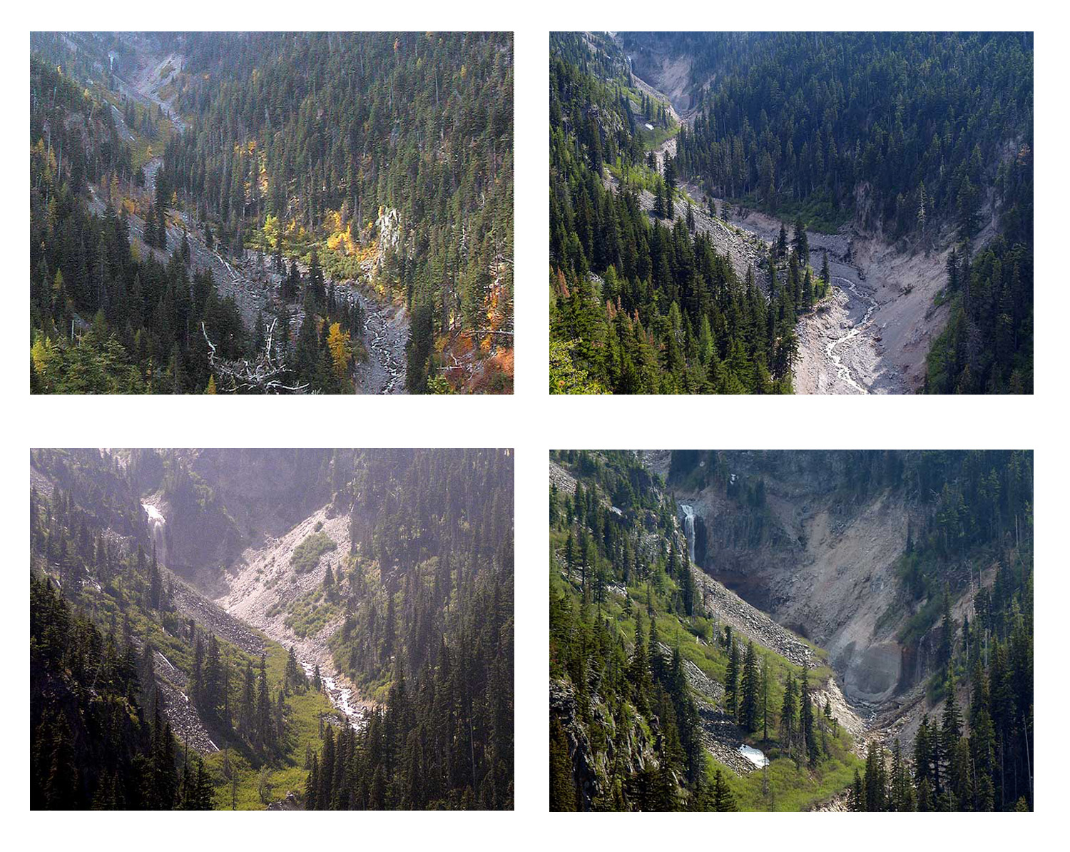
The entire stream bed had dropped about 50 feet, and that meant that Wallalute Falls had grown by 50 feet, or so. Since then, Andy and Jamie have been suggesting a trip to the falls to re-create this photo of "Strawnahan's [sic] Falls", taken circa 1893:
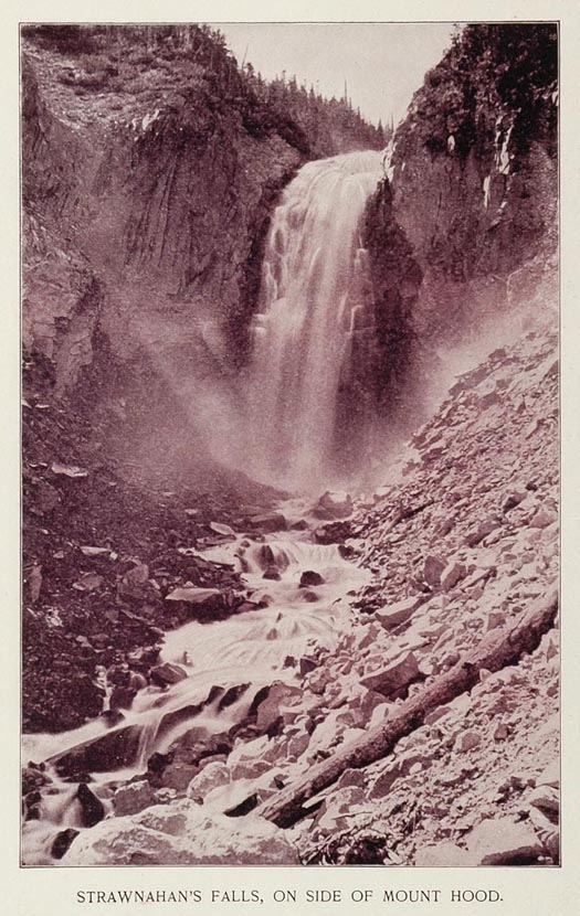
This is Wallalute Falls, of course -- and "Strawnahan" appears to be a misspelling of "Stranahan", a local family of that period, and also the name of the ridge to the northwest of Wallalute Falls.
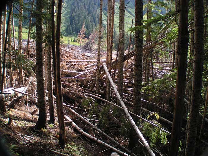
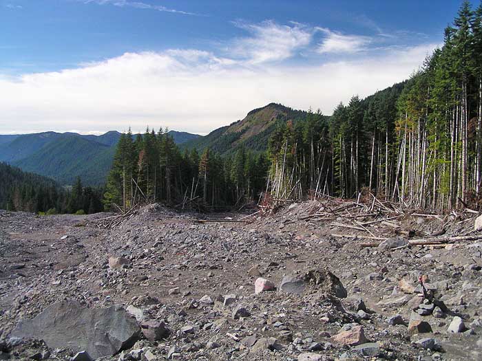
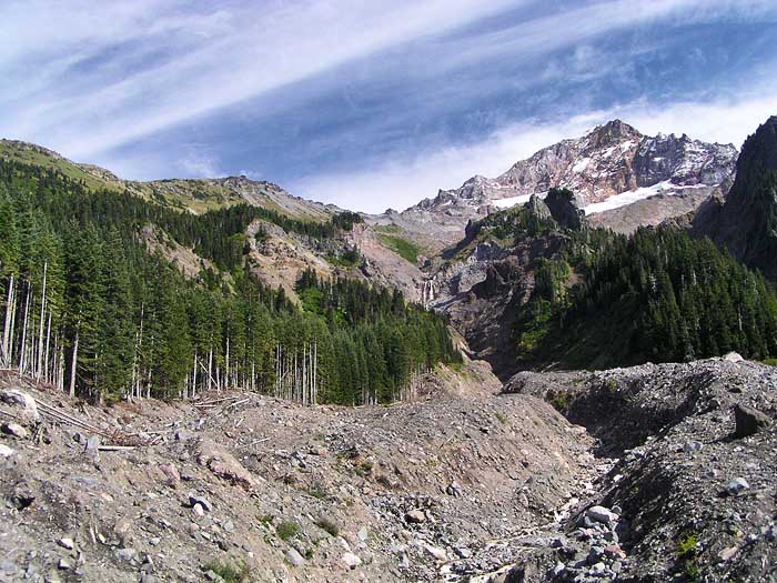
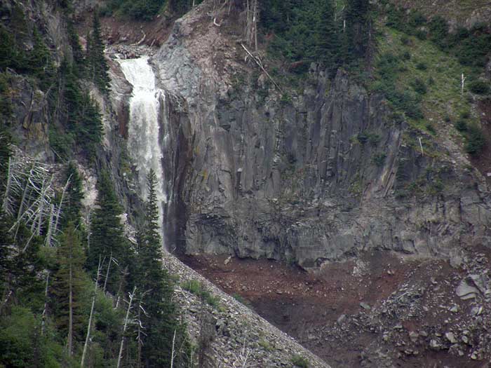
So I had a chance this week to scout the canyon again, and see how things were shaping up -- at first glance, things looks about the same as last year:
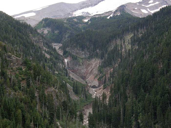
But looking a bit closer, the canyon in the vicinity of the falls continues to unzip -- note that the little side falls is still in working order, on year later. But the ominous development is the big, concave overhang near the side falls:
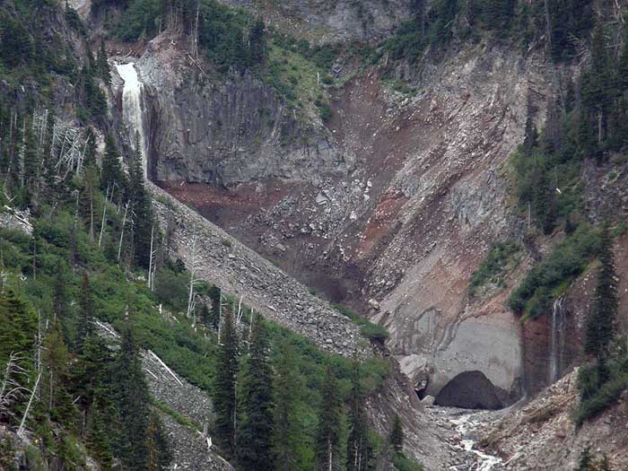
Upon closer examination, it turns out to be a huge semi-cave cut out of what looks to be consolidated pyroclastic material... and right next store to this scary overhang is a house-sized block that has slipped into the stream (partly obscured by the bend):
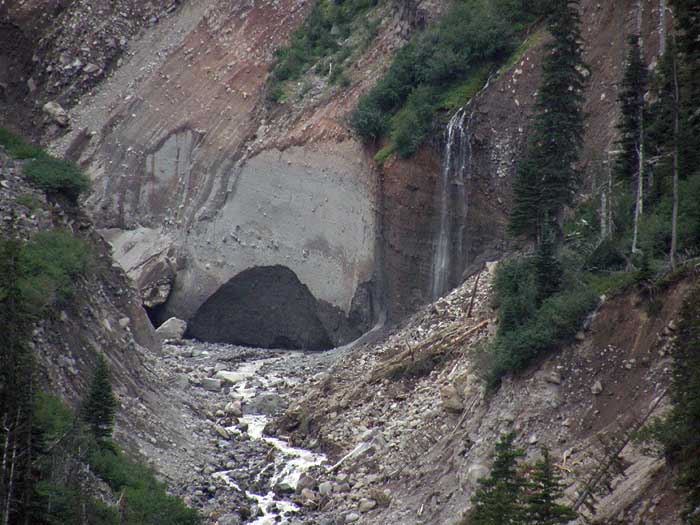
Yowsa! The falls, itself, continues to be its usual, burly self, but suddenly a lot less fun to reach..!
Added to the hazard of a major collapse are the perpetual falling rocks that I watched dropping in both sides of the canyon from my vantage point, and the problem of that last 50 feet down to the stream - the stream banks are over-steepened and present an interesting obstacle for both descending and making your way back up..!
So... I think I'm gonna give this area a few years to stabilize before I go trooping down there..!
Tom