BPA Powerline/Viento Ridge July 11, 2010
Posted: July 11th, 2010, 10:23 pm
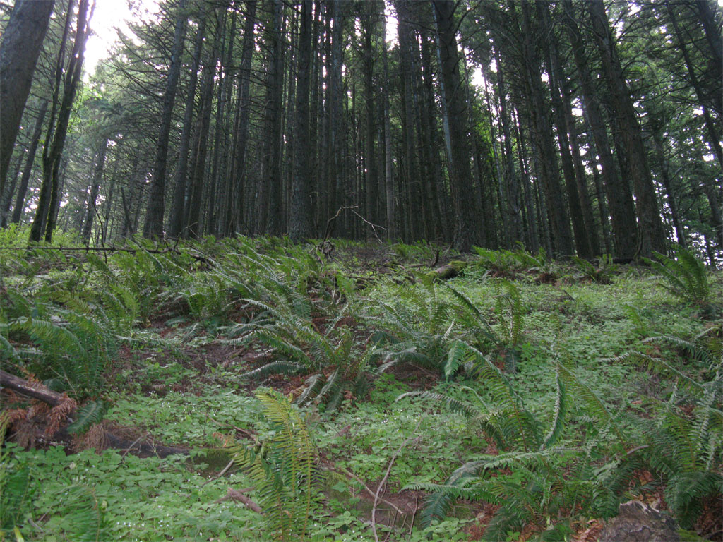
On the return down Starvation Ridge from a hike the other day to Warren Lake and at the highest powerline viewpoint, I looked over across the canyon above Starvation Creek Falls to the continuation of the powerline to Viento State Park and spotted the service trail for line maintenance. It looked interesting enough that I brought it up in NG TOPO for a closer look and saw that it might give me access to another line going up Viento Ridge. I've done Viento Ridge before starting from Viento State Park and going up a logging road 'til it ended, then I bushwhacked up to the ridge proper connecting to the road formerly known as the Mitchell Point Trail. That route followed what I believe to be the alignment of the old Viento Ridge Way Trail. There was one problem with that route that has kept me from ever doing it again and that is a serious brushy section - dense vine maple along an east-west segment (see map below). I was hoping this powerline trail would take me to a more north/south aligned ridge and maybe I'd have less brush. That's just the way it turned out, as long as I stayed a little west of the ridgeline I had a beautifully clear route all the way to the connection with the road. All the way up the ridge, to the east a wall of brush to the west, dense canopy and very little in the understory.
On the USGS TOPO there is a small segment of the Mitchell Point Trail drawn connecting from the road to the Starvation Ridge Trail - this piece appeared to be blazed at the road end but has be lost to the partial cut unit in the area. It was easy travel, though, to connect to the Starvation Ridge Trail.
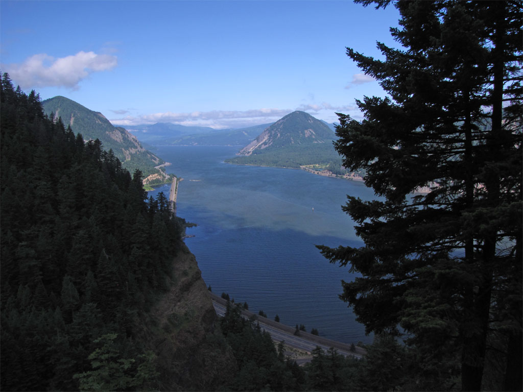
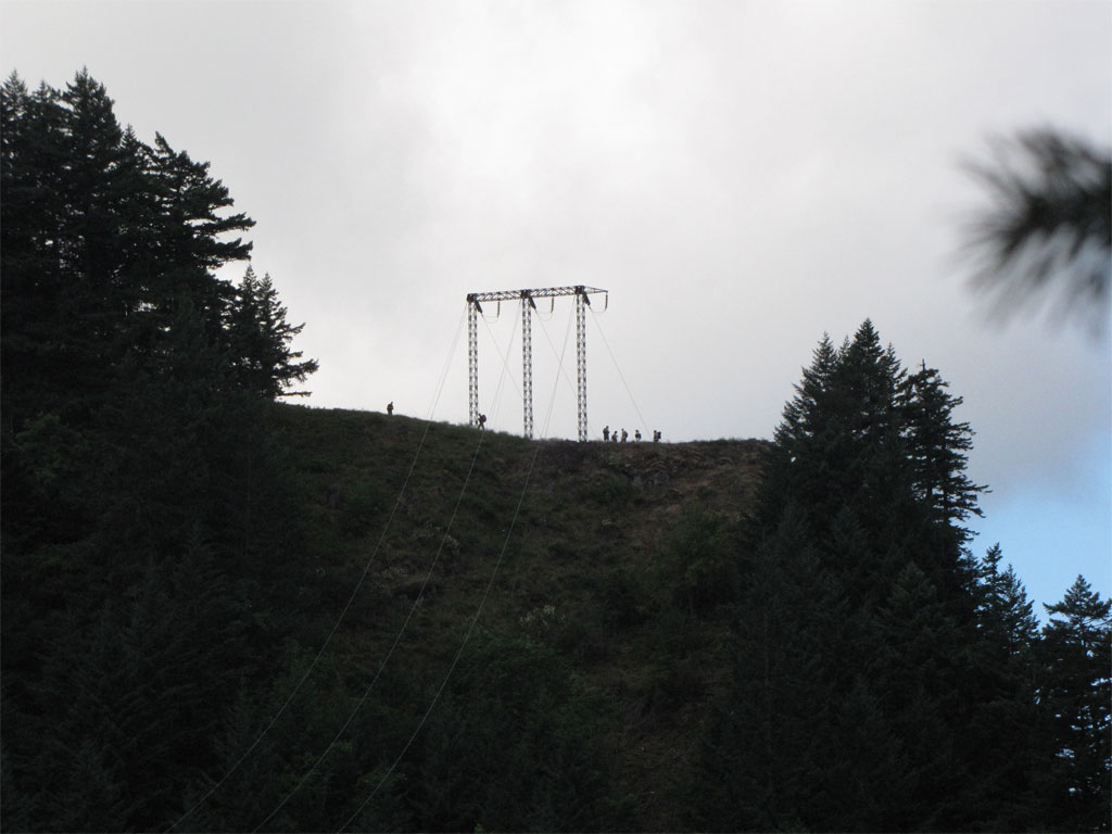
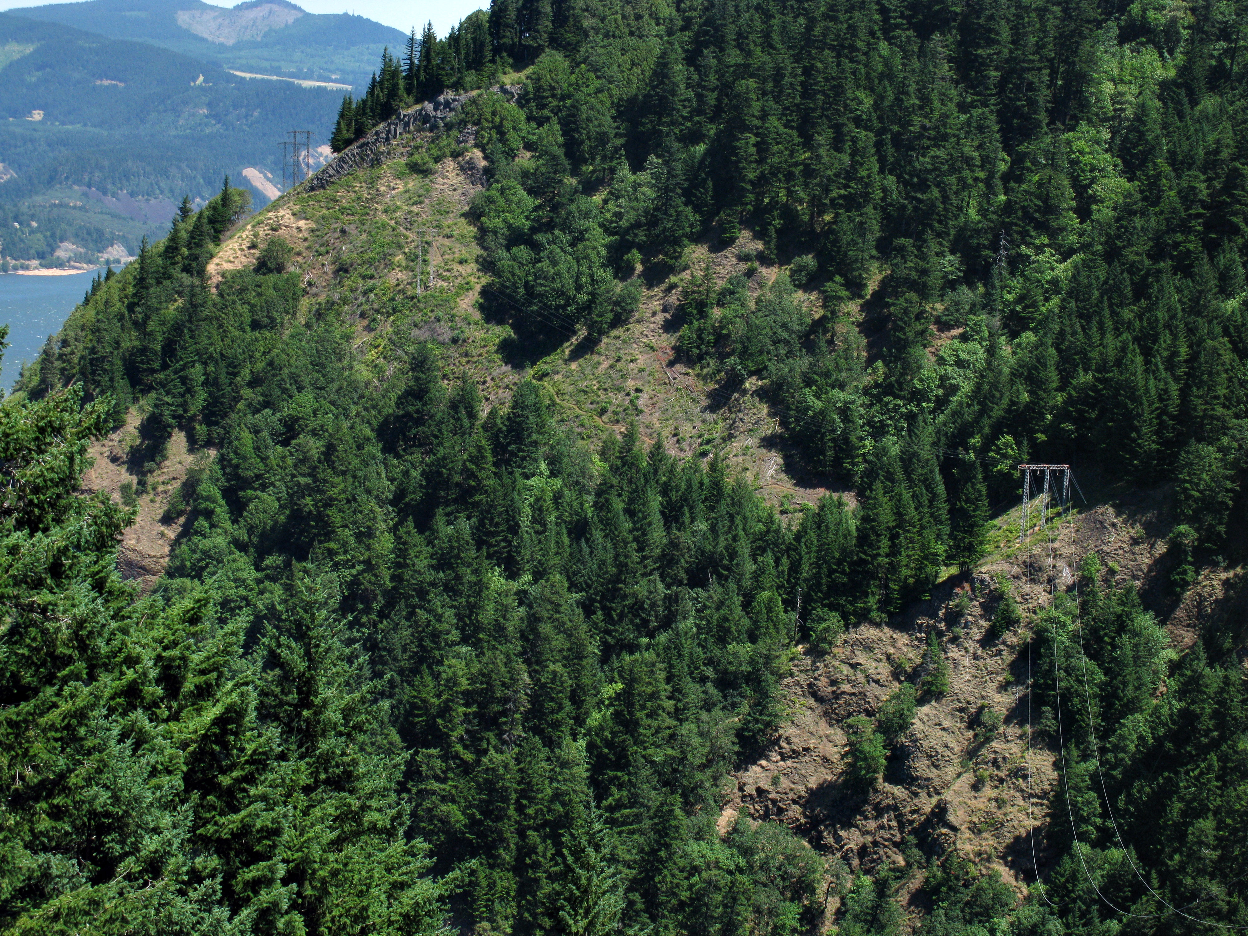
Here's what I saw from the tower viewpoint on Starvation Ridge, the trail snakes off up the side of the hill between towers. In the canyon below is Starvation Creek Falls. If you want to get a closer look click on the image for a 4000x3000 size image.

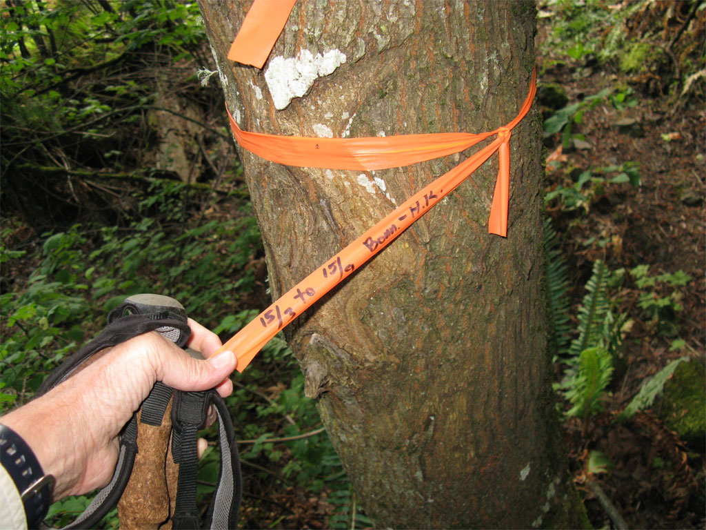
Here's the trailhead to the powerline segment, just a little east beyond Starvation Creek Falls - maybe 2-300 feet. A corner of the paved trail is in the lower left corner. Originally I was concerned I'd have to go all the way to Viento State Park to get to the powerline trail and I was hoping the maintainers had built an access point closer to the Starvation end and indeed they did.
I wasn't sure this was it until I read the tale of the tape:
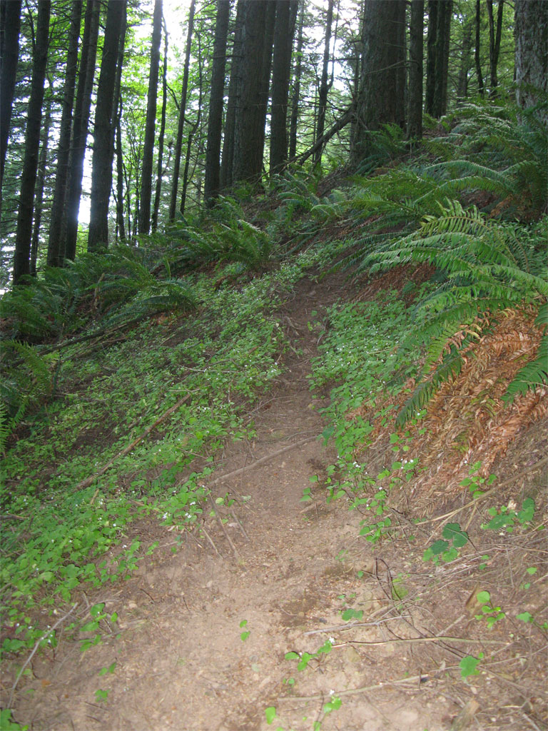
The trail is in great shape lower down, sees some use by passers-by and use trails to viewpoints are scattered here and there.
At the first tower on the trail I could see folks on Starvation heading up to Defiance I suspect.
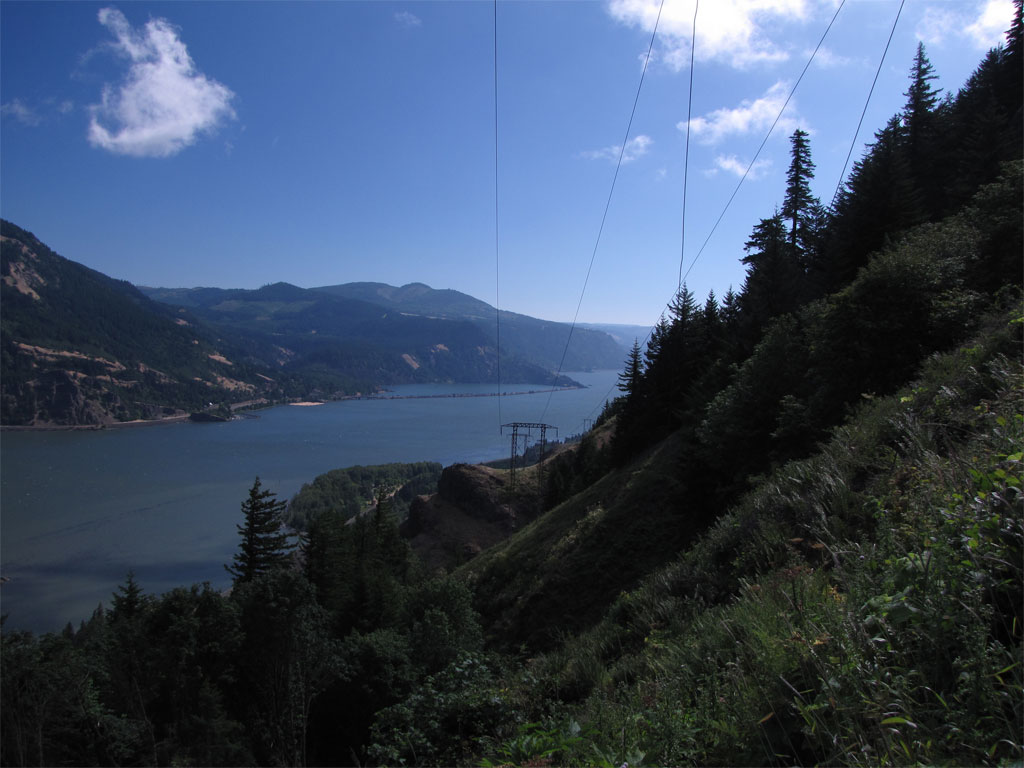
Great views from the trail if you can tolerate the powerlines.
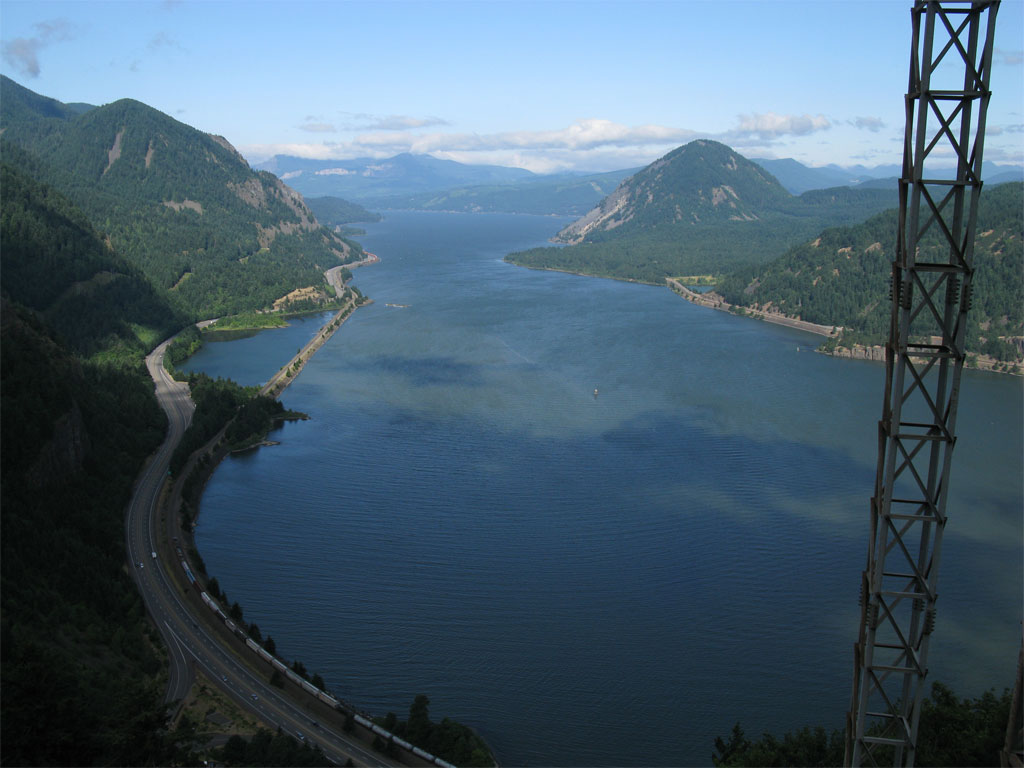
I looked down the line towards Viento State Park, I'm guessing the trail goes all the way down and then off to Mitchell Point. An exploration for another day.
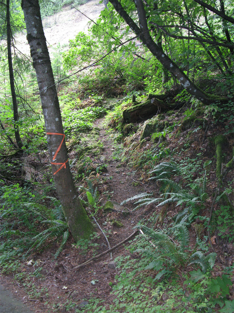
I left the powerline trail and turned up the ridge for the trees, I knew I'd landed on a good route when I saw well used game trails.
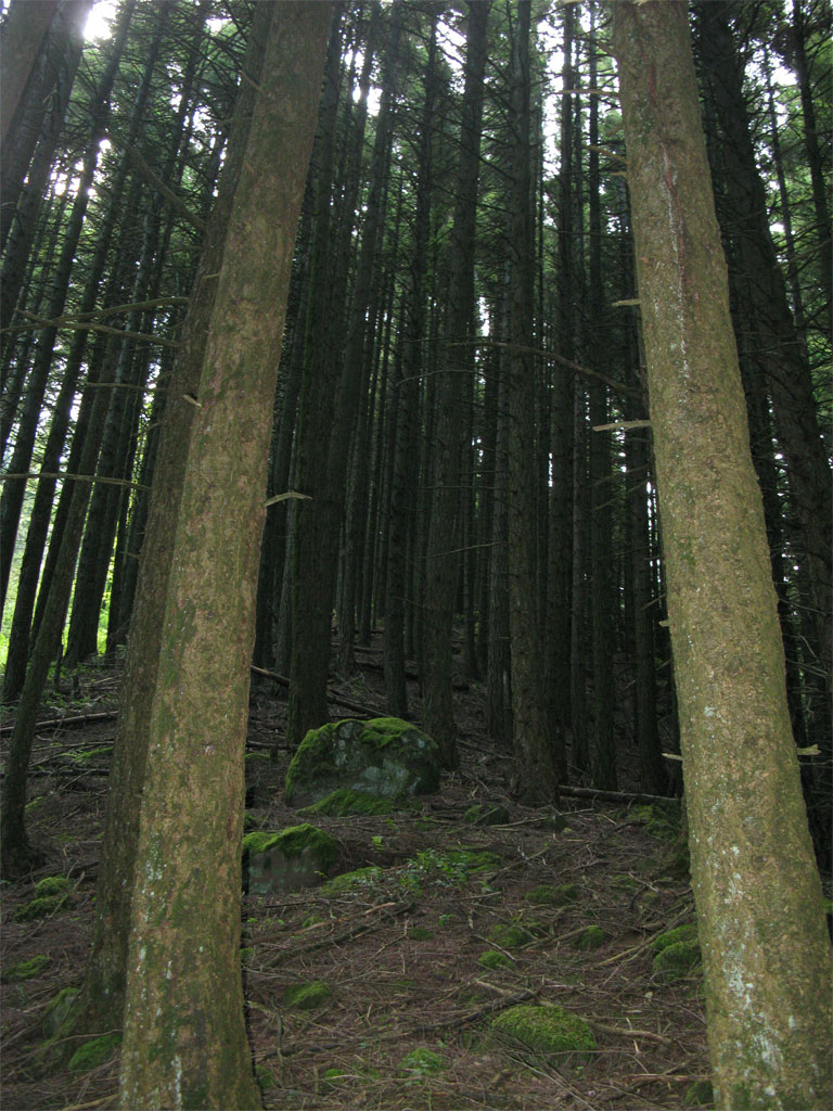
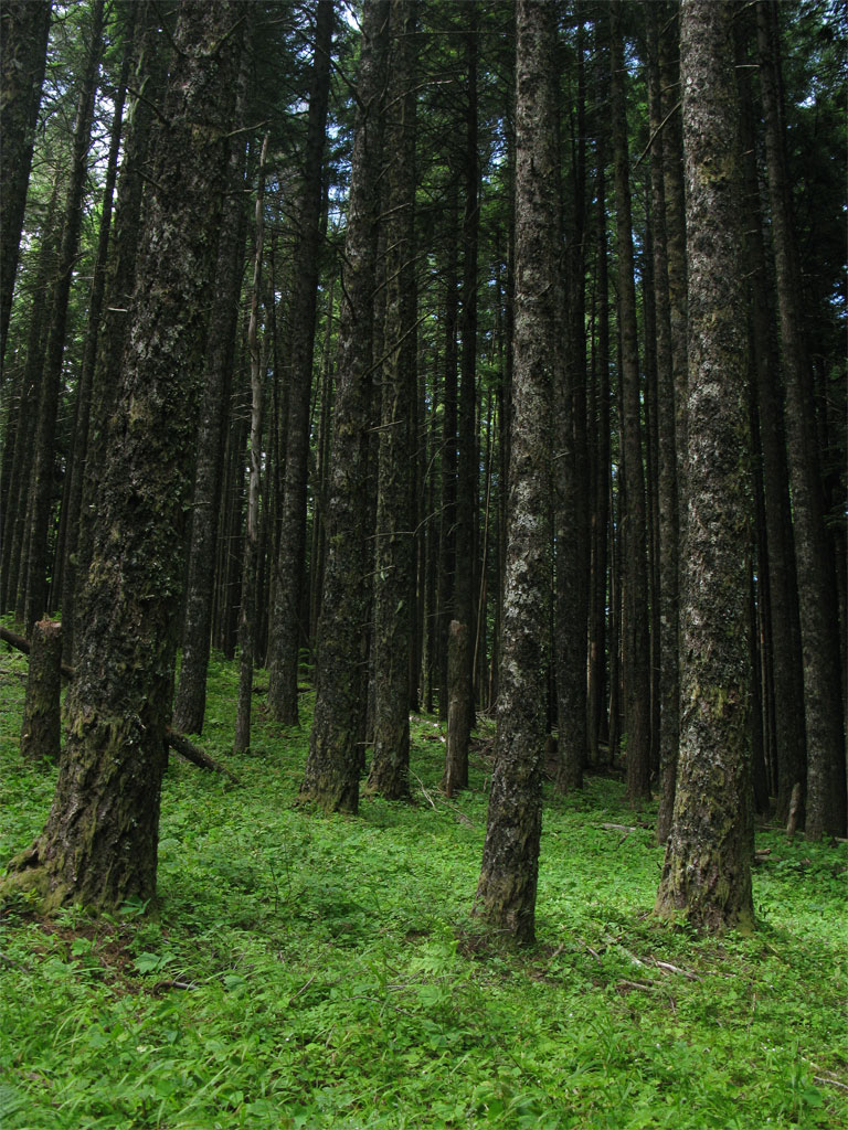
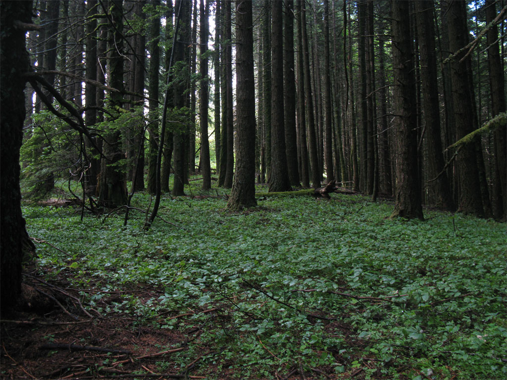
And that was the story all the way up to the road, the following are samples of the ridge line route.
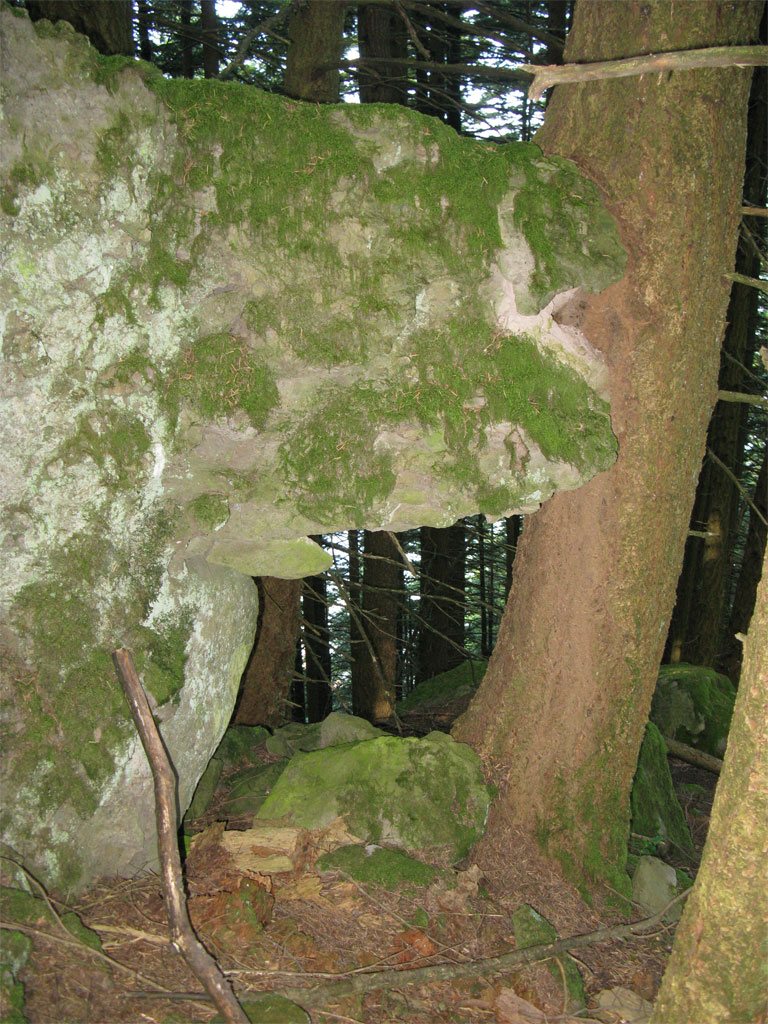
A rock+tree arch:
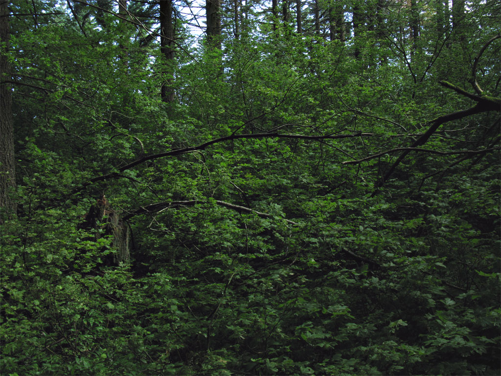
The goal was to avoid going through anything like the following. The wall of brush to the east of me looked like this.
After a couple of hours I landed on the road and I headed for the short segment of the Mitchell Point Trail to connect to Starvation for the return.

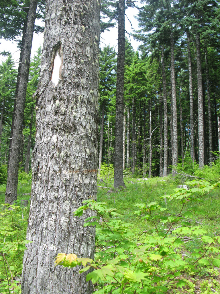
I believe I located the old trail head for the segment of the Mitchell Point Trail to Starvation connector based on a couple of blazed trees right off the road.
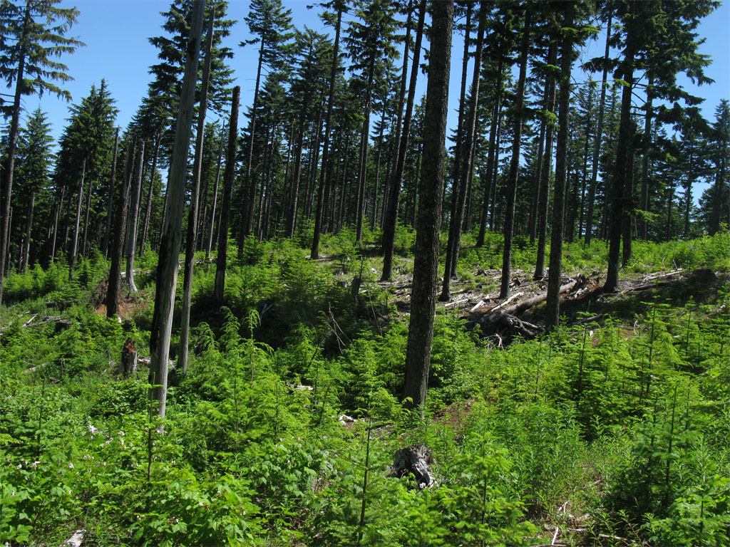
But no trail in the partial cut - easy travel, though, to the Starvation Junction.
At the junction I believe I ran into the crew I spotted on the Starvation Trail from the powerline trail, if it was then the ride up Viento Ridge was pretty fast.
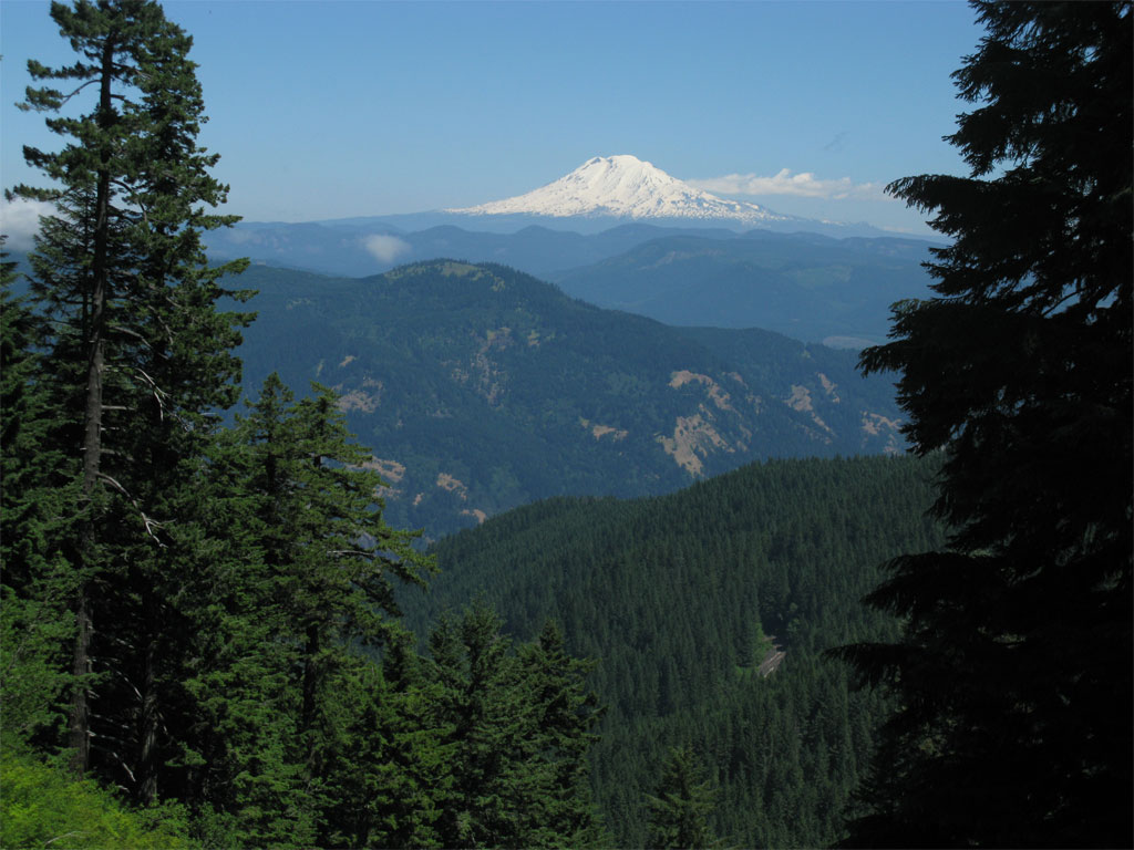
Right at the junction is a great view of Adams.
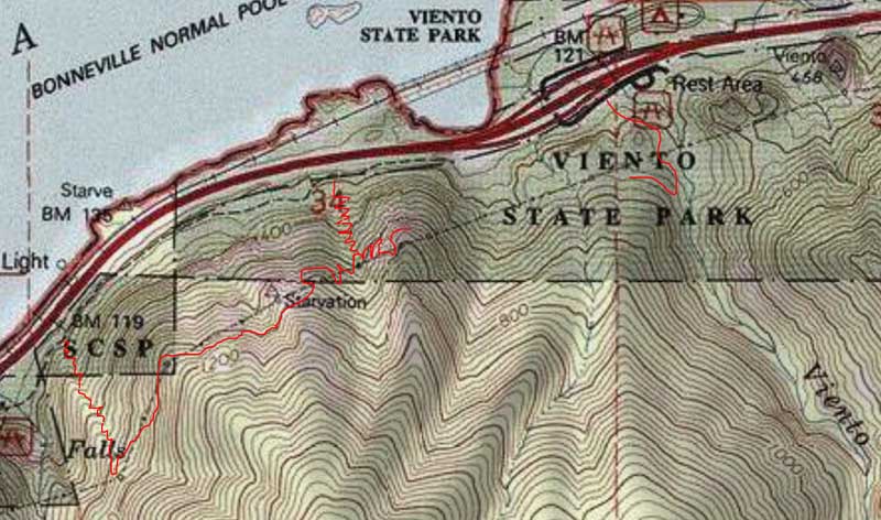
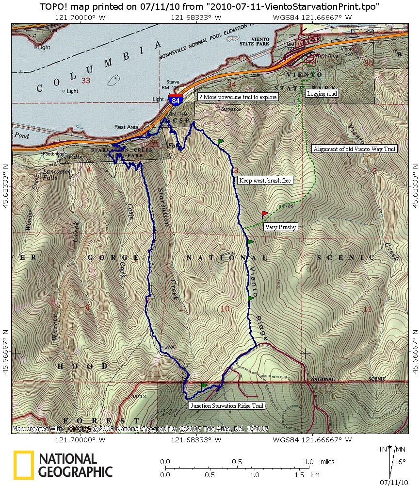
~6.5 miles ~3200'. A nice off trail route with no brush on a beautifully secluded ridge. The powerline trail is a bit rough in spots and passes through some very steep slopes. I want to make a return trip to map out the rest of the trail to Mitchell Point. Click on the image for the big print version.
The blue line is my route today, the green dashed line was my 1st attempt on the old alignment. If you look closely at the map you can see, in the route in blue, the westward bias on he ridge line to avoid the brush.
On the USGS TOPO there is a small segment of the Mitchell Point Trail drawn connecting from the road to the Starvation Ridge Trail - this piece appeared to be blazed at the road end but has be lost to the partial cut unit in the area. It was easy travel, though, to connect to the Starvation Ridge Trail.
Here's what I saw from the tower viewpoint on Starvation Ridge, the trail snakes off up the side of the hill between towers. In the canyon below is Starvation Creek Falls. If you want to get a closer look click on the image for a 4000x3000 size image.
Here's the trailhead to the powerline segment, just a little east beyond Starvation Creek Falls - maybe 2-300 feet. A corner of the paved trail is in the lower left corner. Originally I was concerned I'd have to go all the way to Viento State Park to get to the powerline trail and I was hoping the maintainers had built an access point closer to the Starvation end and indeed they did.
I wasn't sure this was it until I read the tale of the tape:
The trail is in great shape lower down, sees some use by passers-by and use trails to viewpoints are scattered here and there.
At the first tower on the trail I could see folks on Starvation heading up to Defiance I suspect.
Great views from the trail if you can tolerate the powerlines.
I looked down the line towards Viento State Park, I'm guessing the trail goes all the way down and then off to Mitchell Point. An exploration for another day.
I left the powerline trail and turned up the ridge for the trees, I knew I'd landed on a good route when I saw well used game trails.
And that was the story all the way up to the road, the following are samples of the ridge line route.
A rock+tree arch:
The goal was to avoid going through anything like the following. The wall of brush to the east of me looked like this.
After a couple of hours I landed on the road and I headed for the short segment of the Mitchell Point Trail to connect to Starvation for the return.
I believe I located the old trail head for the segment of the Mitchell Point Trail to Starvation connector based on a couple of blazed trees right off the road.
But no trail in the partial cut - easy travel, though, to the Starvation Junction.
At the junction I believe I ran into the crew I spotted on the Starvation Trail from the powerline trail, if it was then the ride up Viento Ridge was pretty fast.
Right at the junction is a great view of Adams.
~6.5 miles ~3200'. A nice off trail route with no brush on a beautifully secluded ridge. The powerline trail is a bit rough in spots and passes through some very steep slopes. I want to make a return trip to map out the rest of the trail to Mitchell Point. Click on the image for the big print version.
The blue line is my route today, the green dashed line was my 1st attempt on the old alignment. If you look closely at the map you can see, in the route in blue, the westward bias on he ridge line to avoid the brush.