
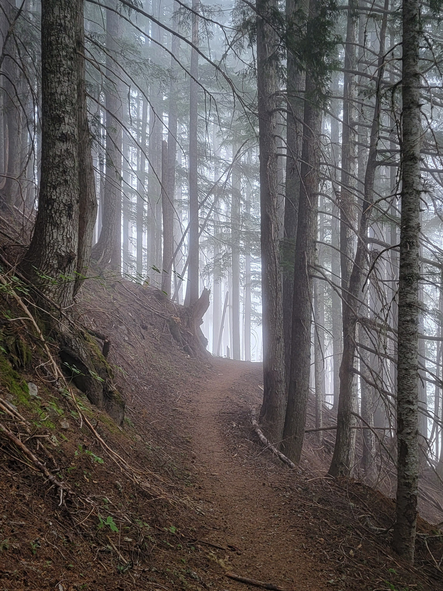
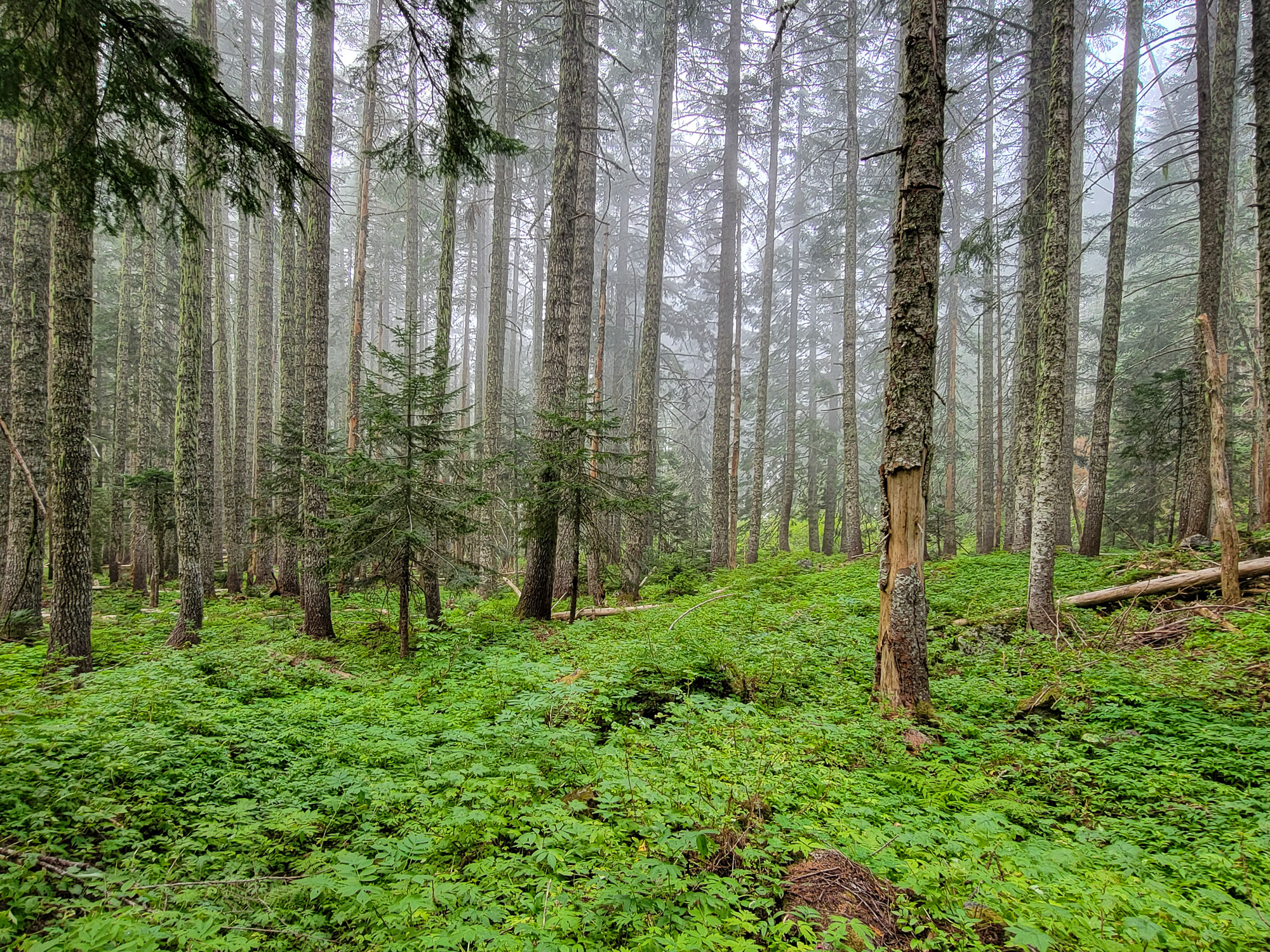
I arrived at Top Spur Trailhead and got started close to 8am. The hike up to the Timberline Trail was delightfully refreshing with mist in the air and moisture on the plants, completely in the cloud cover. I've been out so much in the sun and heat this summer and don't do as well in the hot. This 50 degree weather is plenty warm for me. At the Timberline/PCT Junction I took the Timberline Trail north around Bald Mountain for the first time since scrambling the blowdown there last October to see the nice work done by crews clear the corridor.
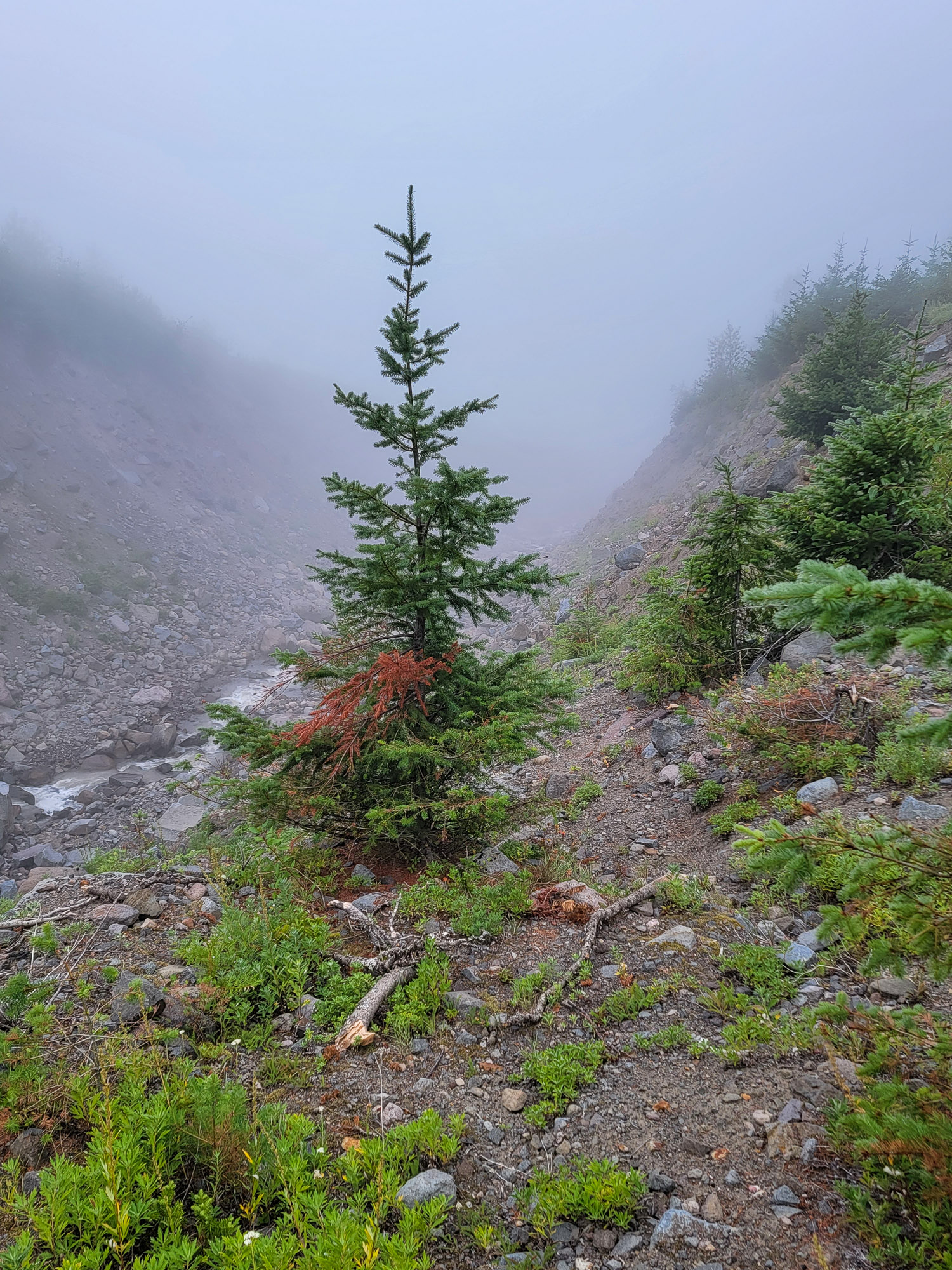
At the Bald Mountain Cutoff Trail, I hopped over the ridge and then started down towards the Muddy Fork, enjoying the soft quiet and stillness wrapped up in the cloud.
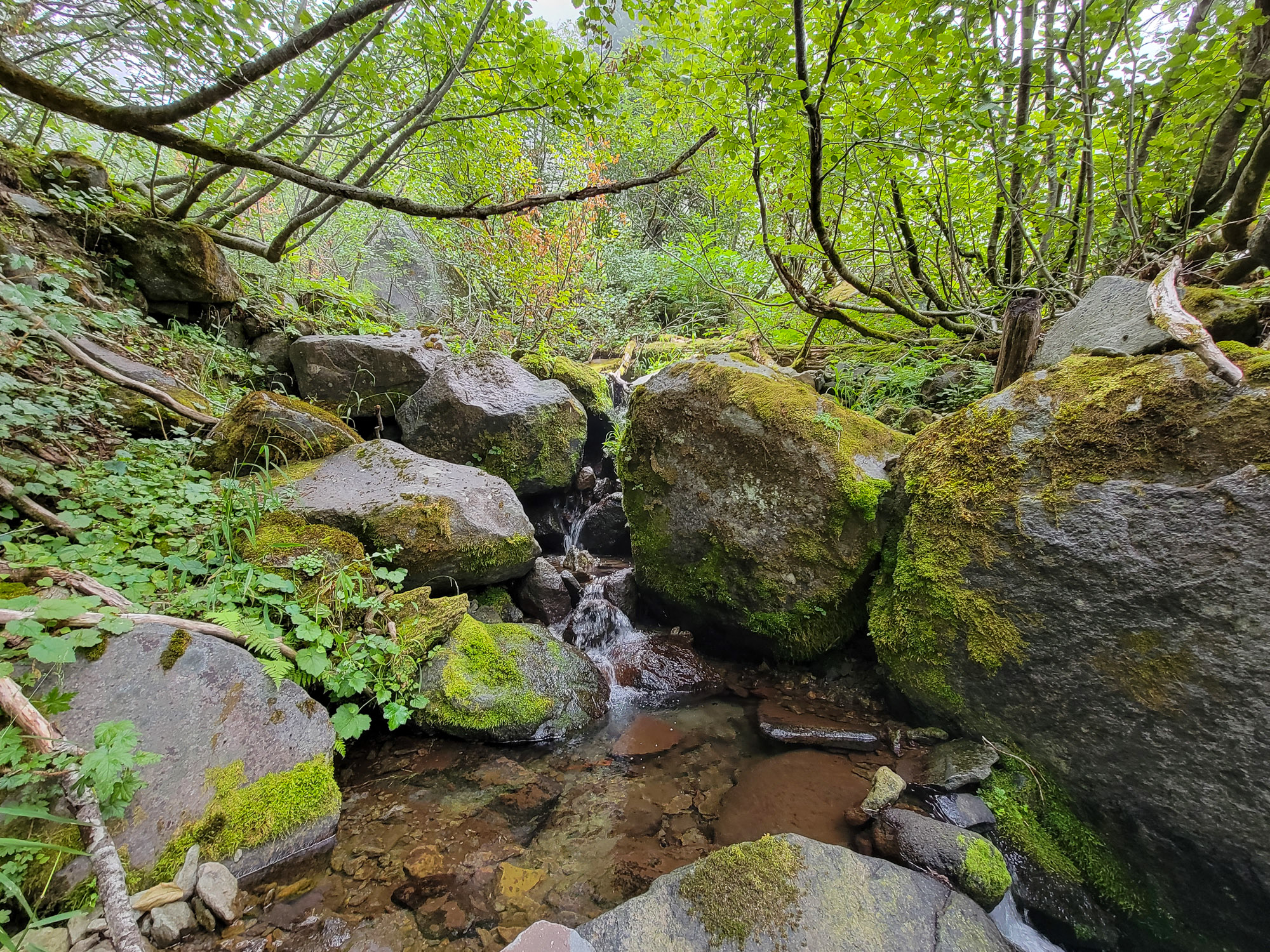
 Waterfall for ants.
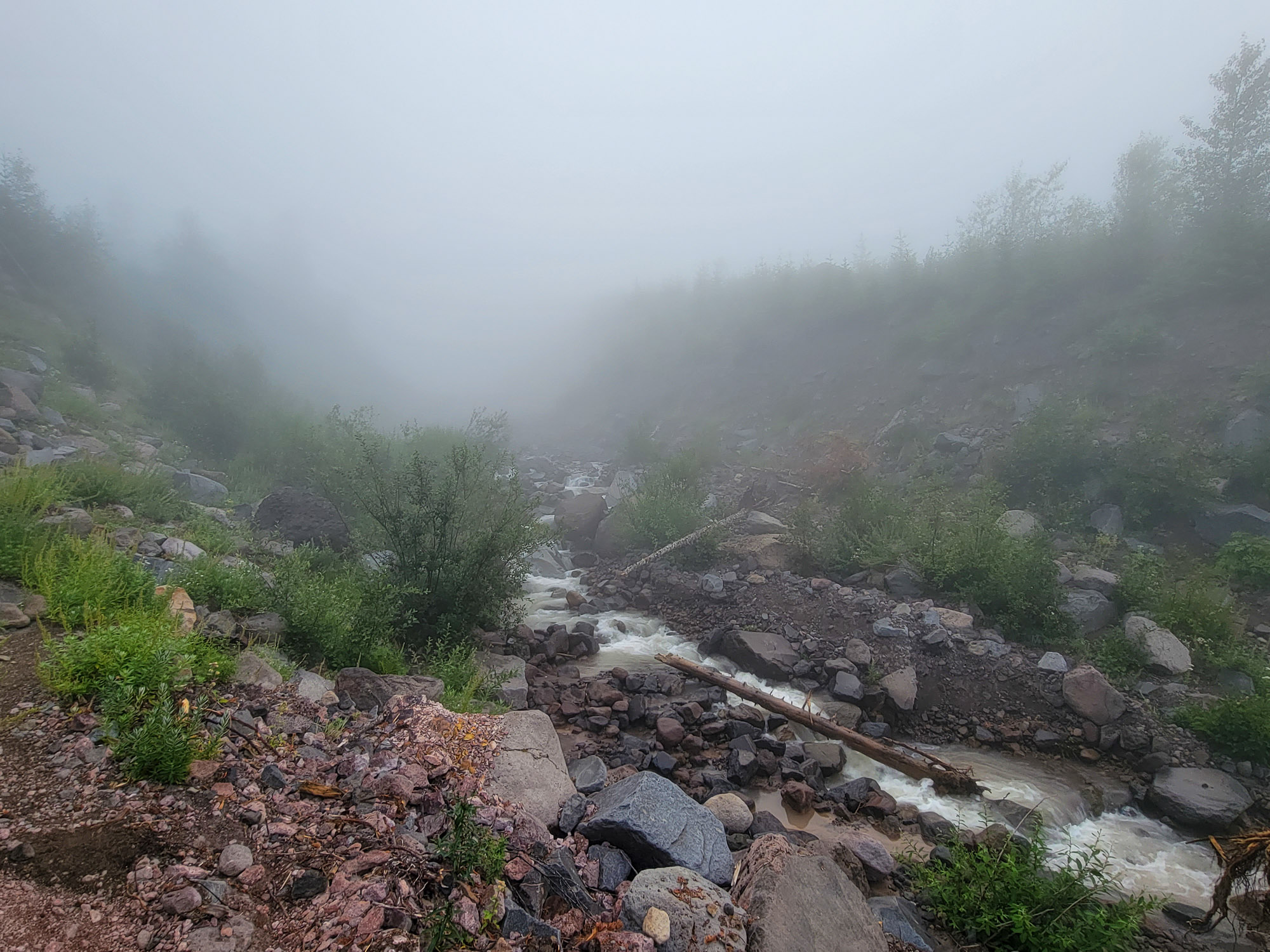
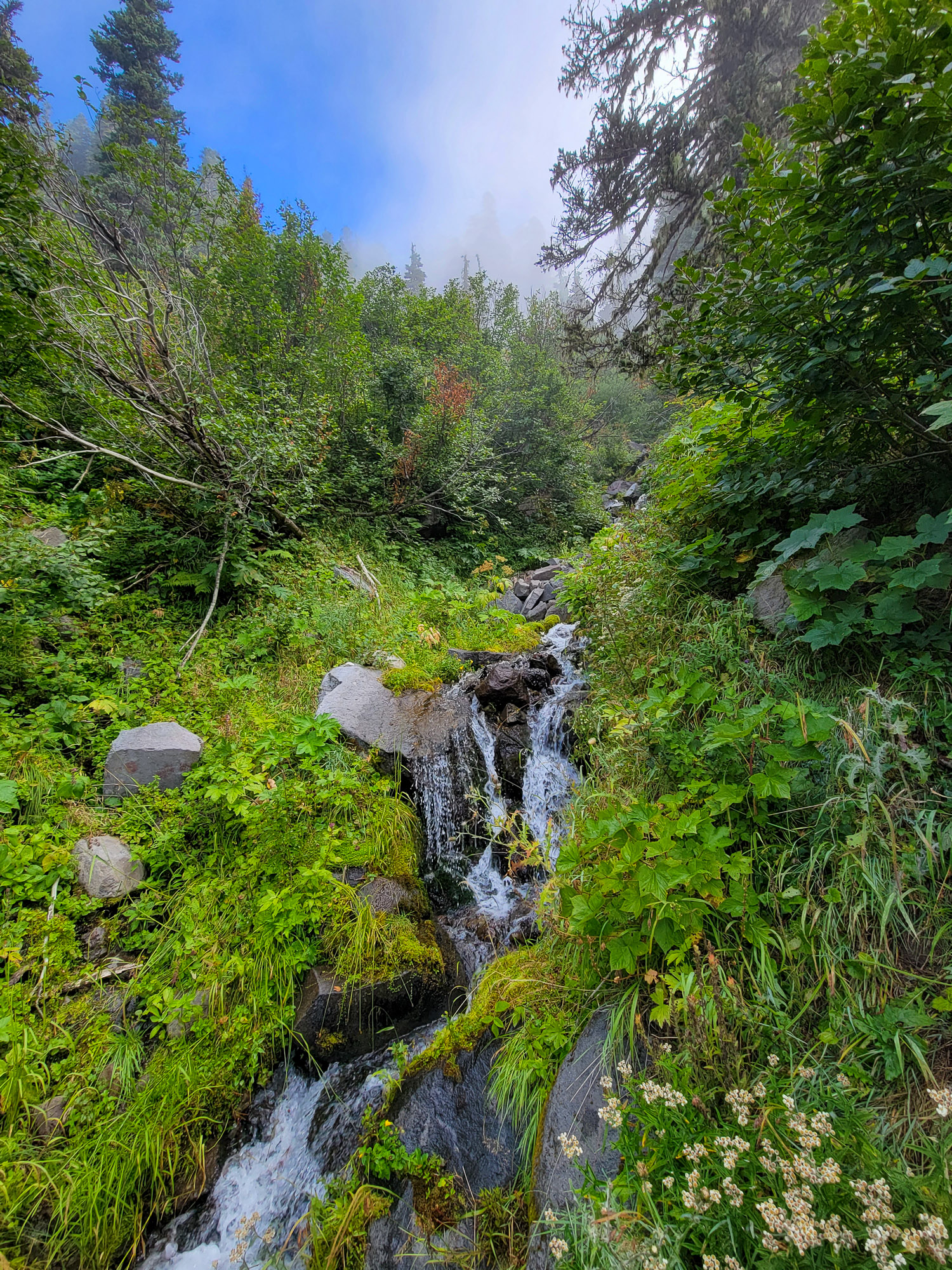
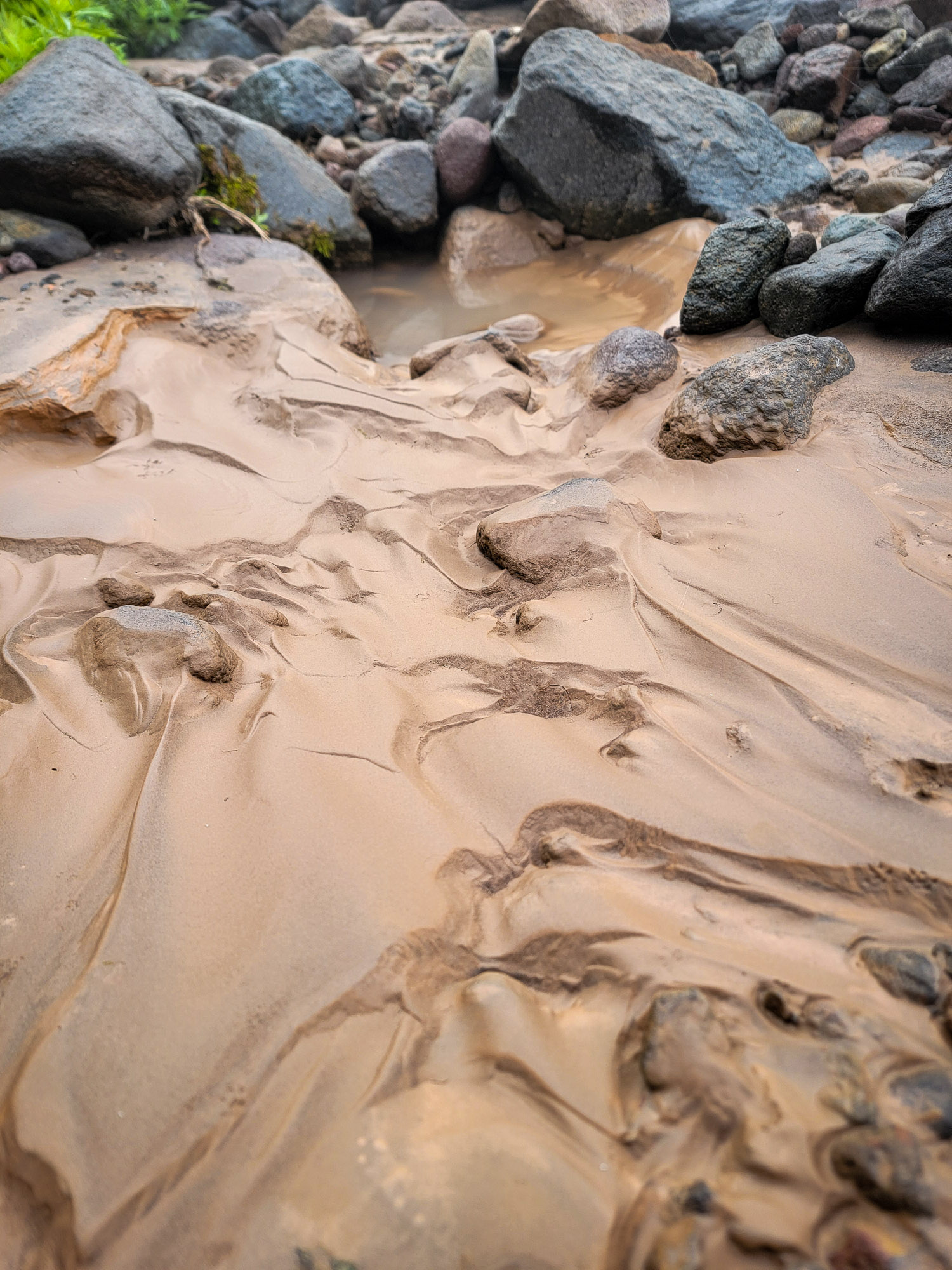 It's Muddy
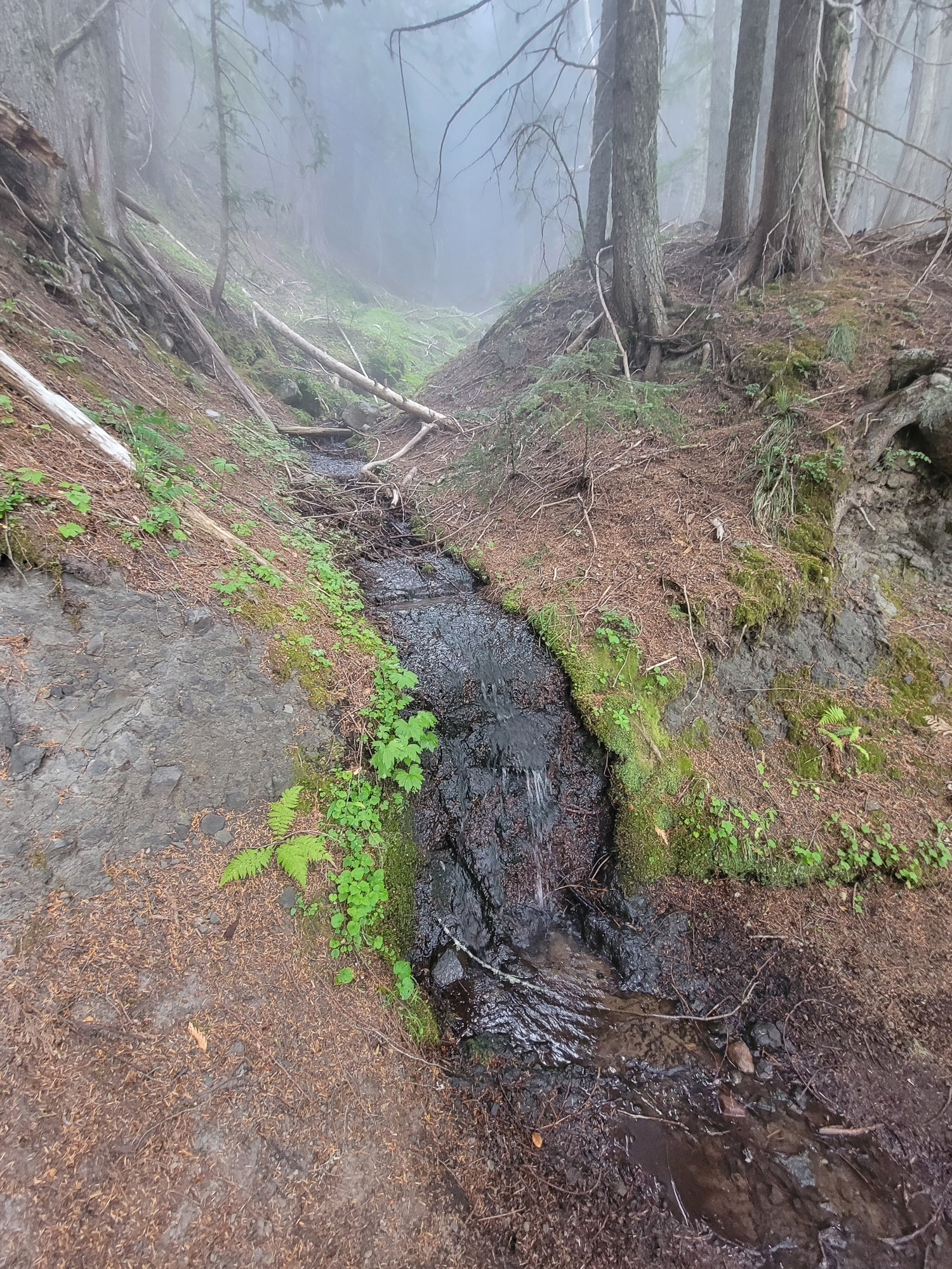
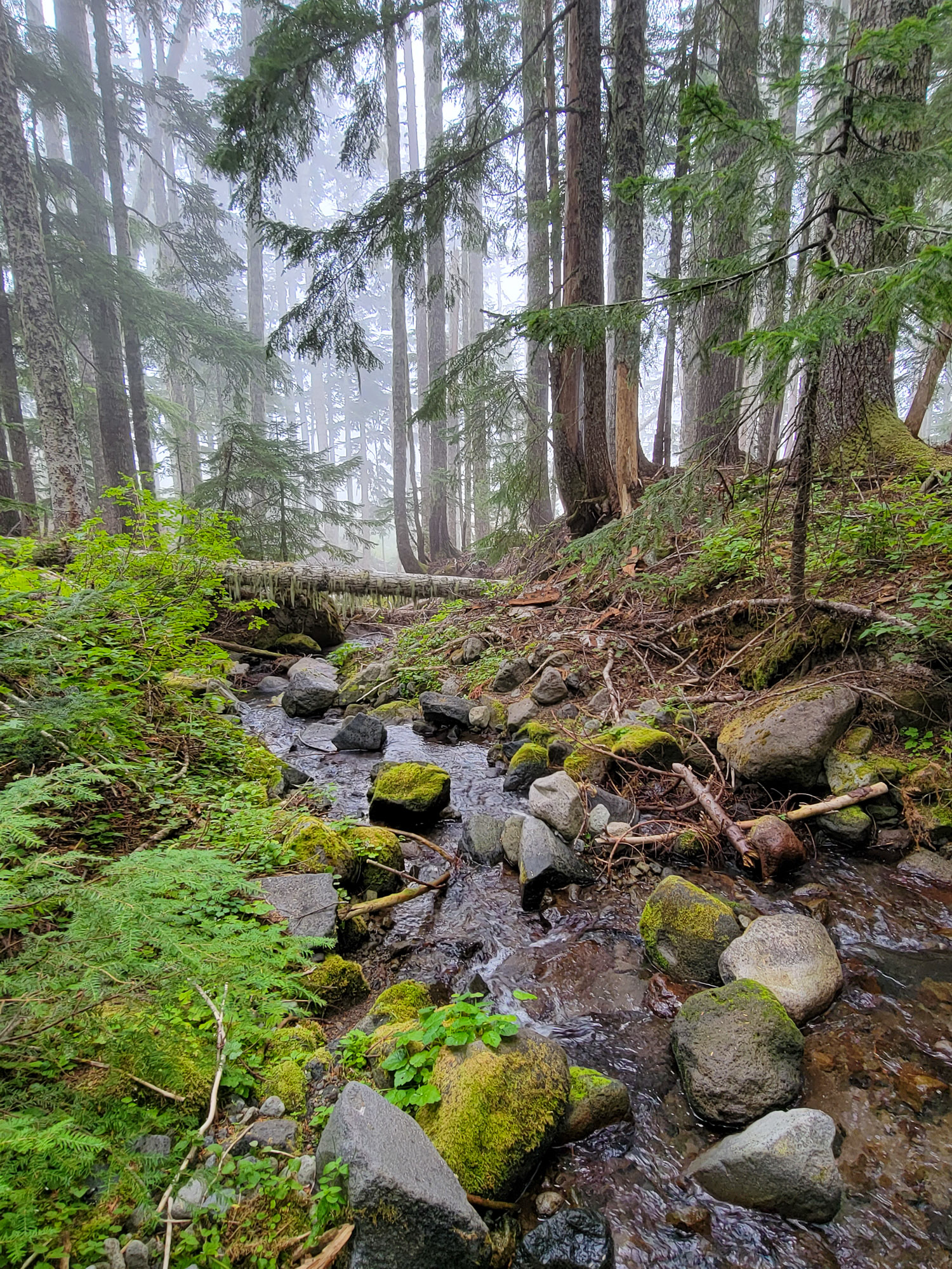
Once down on the Muddy Fork, I headed up the creek, crossing a couple times. A good solid cover of mist made things dramatic. The way is pretty easy going with the current creek level, and just a couple easy crossings wandering back and forth. The canyon walls close in and become quite steep on the North Fork.
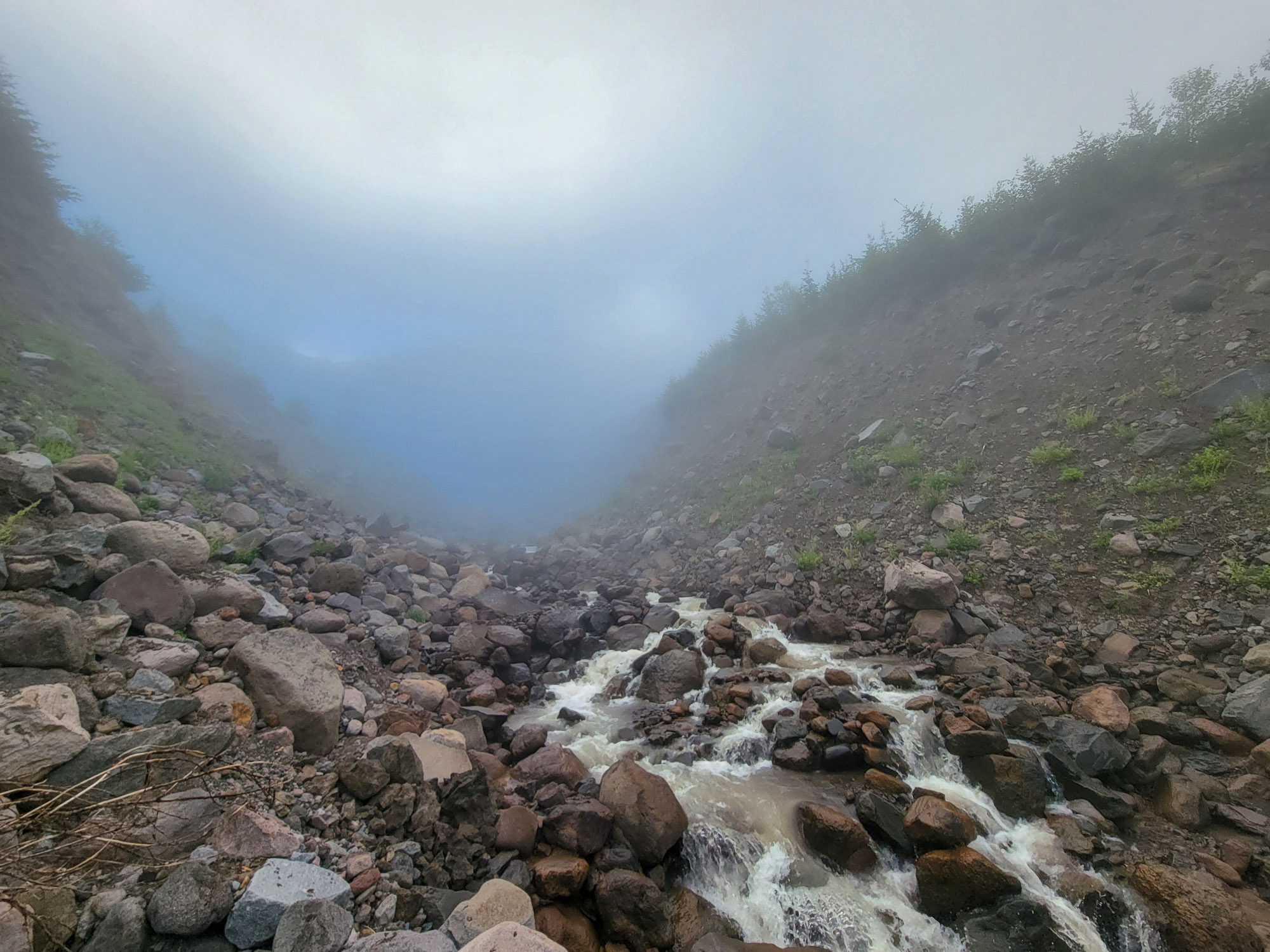


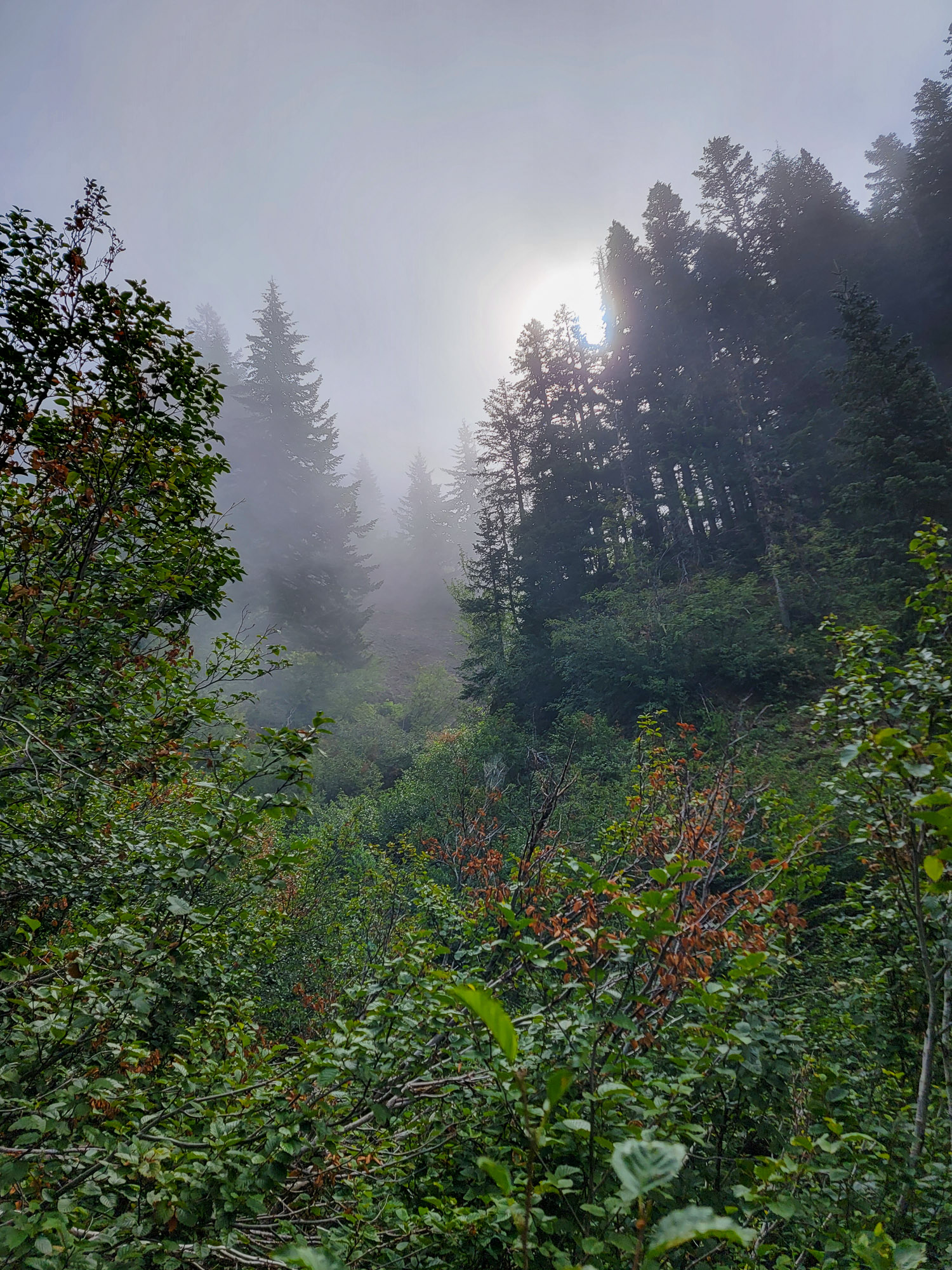
I was hoping to get a view of the waterfall up the creek, knew that I couldn't get to it because the canyon would go through a slot, and only caught a brief glimpse of it through the mist as sun poked through from above.
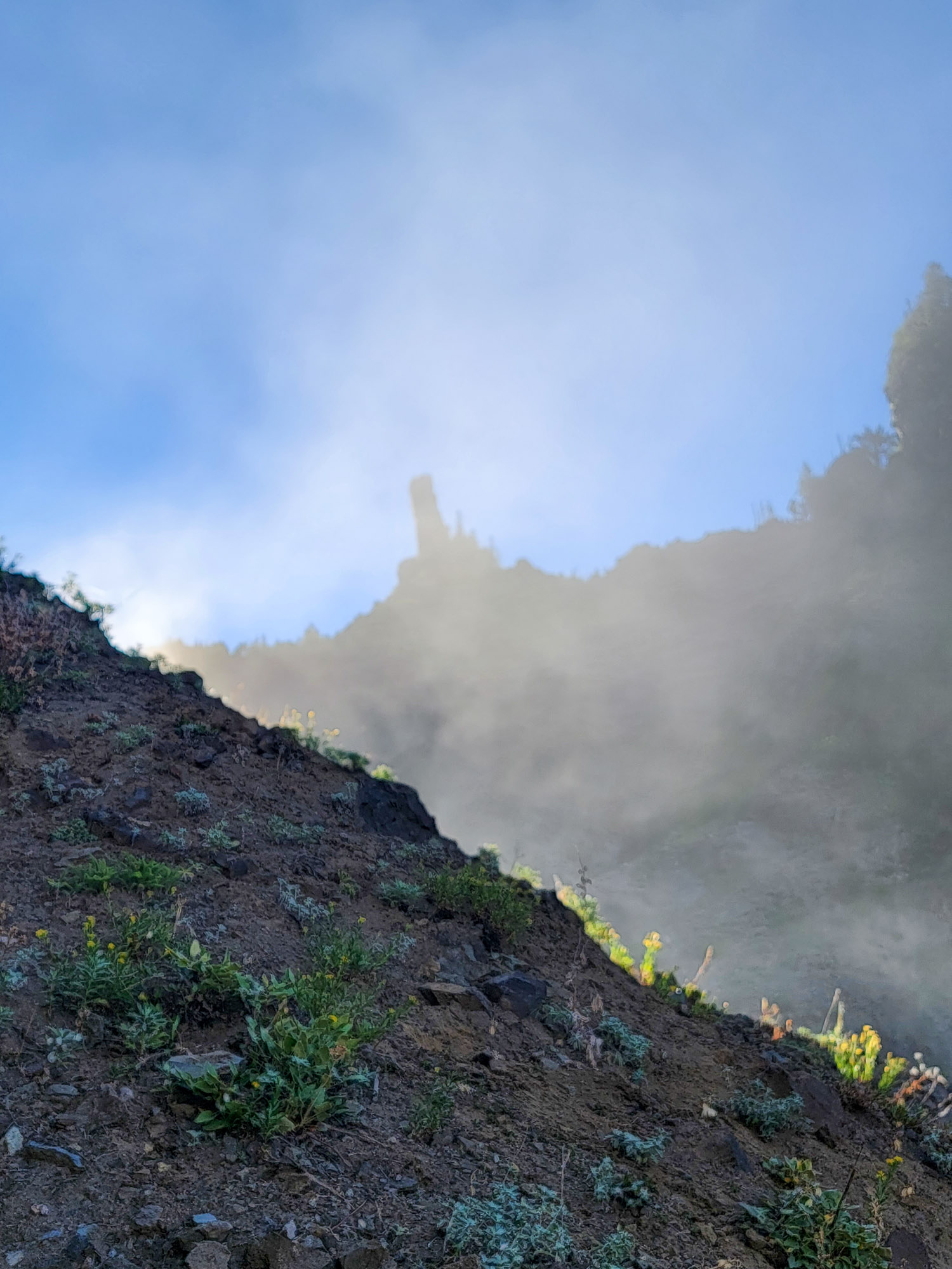
The finger thin view of Razorblade Pinnacle from this angle is really neat.
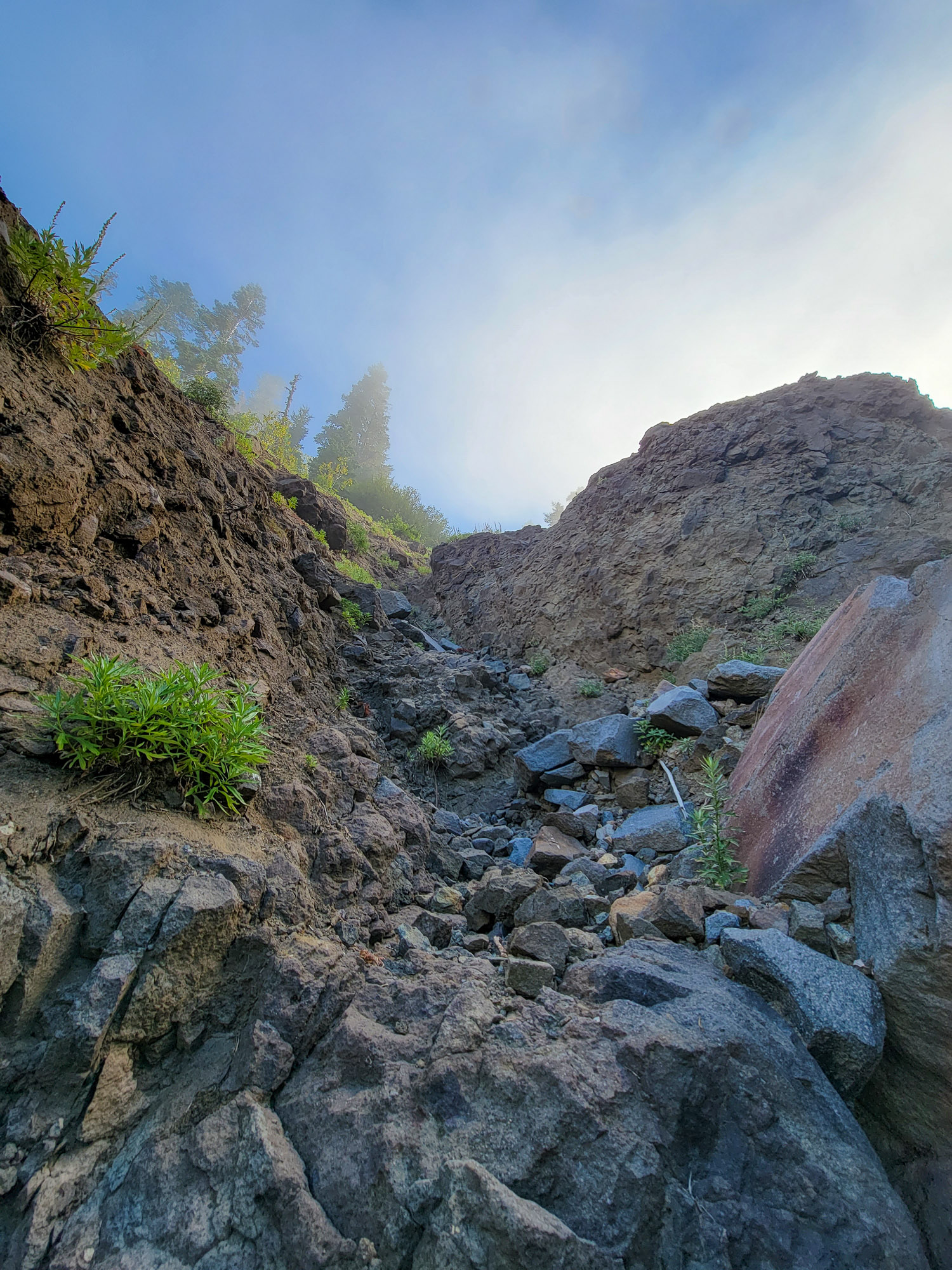
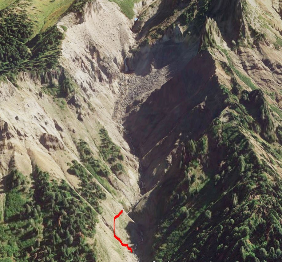
At the slot, about a half a mile from the Timberline Trail, I decided to poke around up hill for a better view, and scrambled up a very solid and rocky chute.
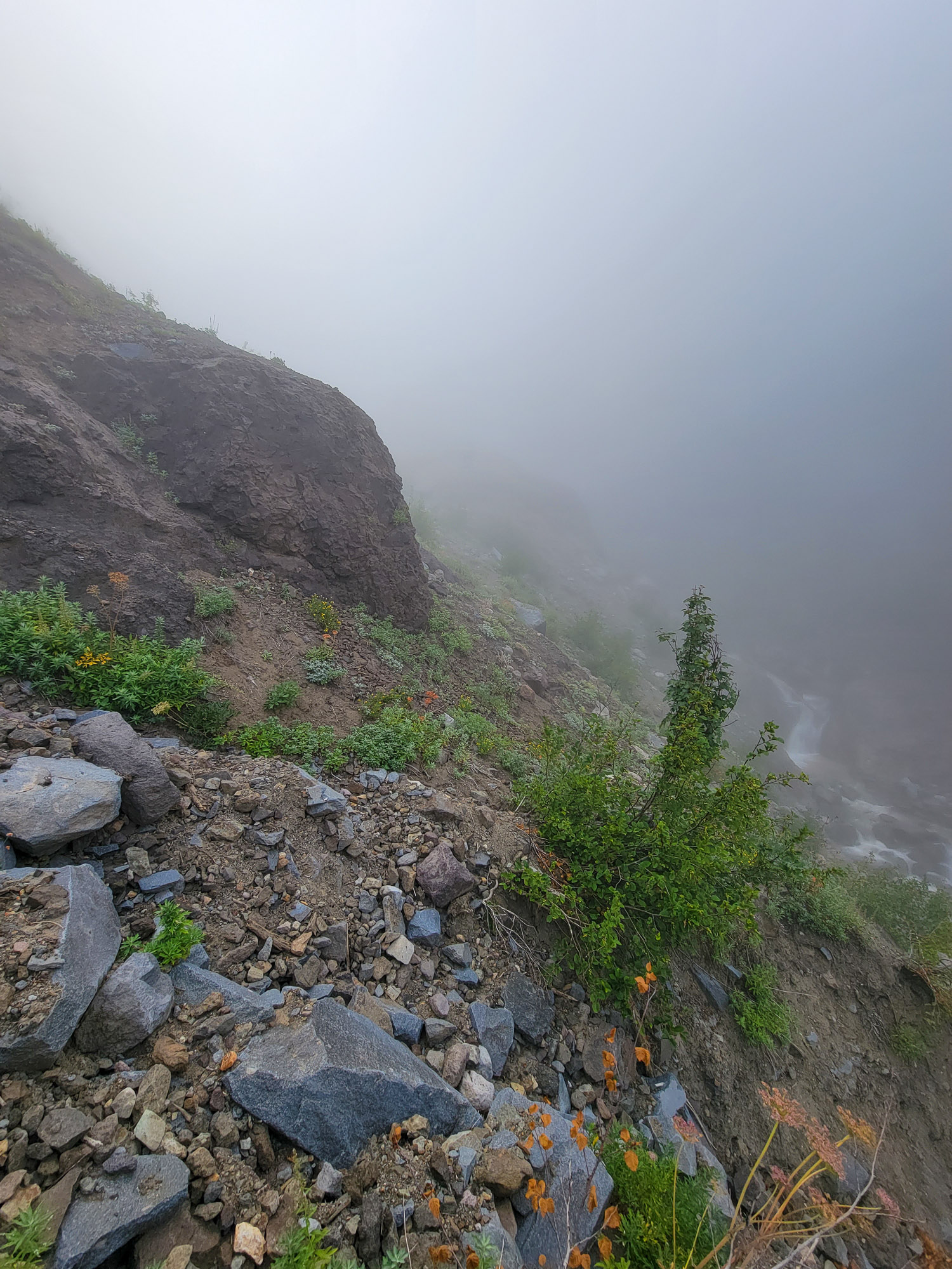
I left the chute and thought things didn't look too bad going sidehill to a little flat spot over the canyon, I took some time assessing the terrain ahead and rocks. It was steep but seemed pretty manageable. This was a mistake. I made it just fine, accelerating into the route and up and across the way, but immediately my mouth went bone dry and heart went racing. My body at least was letting me know I had screwed up. The view of the canyon and creek twisting through the slot was fine, but I wasn't enjoying it.

Sure enough, the angle going back and slightly downhill was much worse and far more exposed with fewer actually solid contact points to scramble. I might stop just below on a lip if I slipped, but more likely I'd take a hundred feet down to the creek below. Not a fun position to be in, especially because I know better. Up is always easier. It was a stretch to think that the terrain was going to be more solid than my experience would back up. It took a while and one complete withdrawal and reset slightly downhill, but I made it back into the rocky chute, pretty much just lucky. Wandered back down creek and then up onto the flat and into the woods to go explore in the forest.
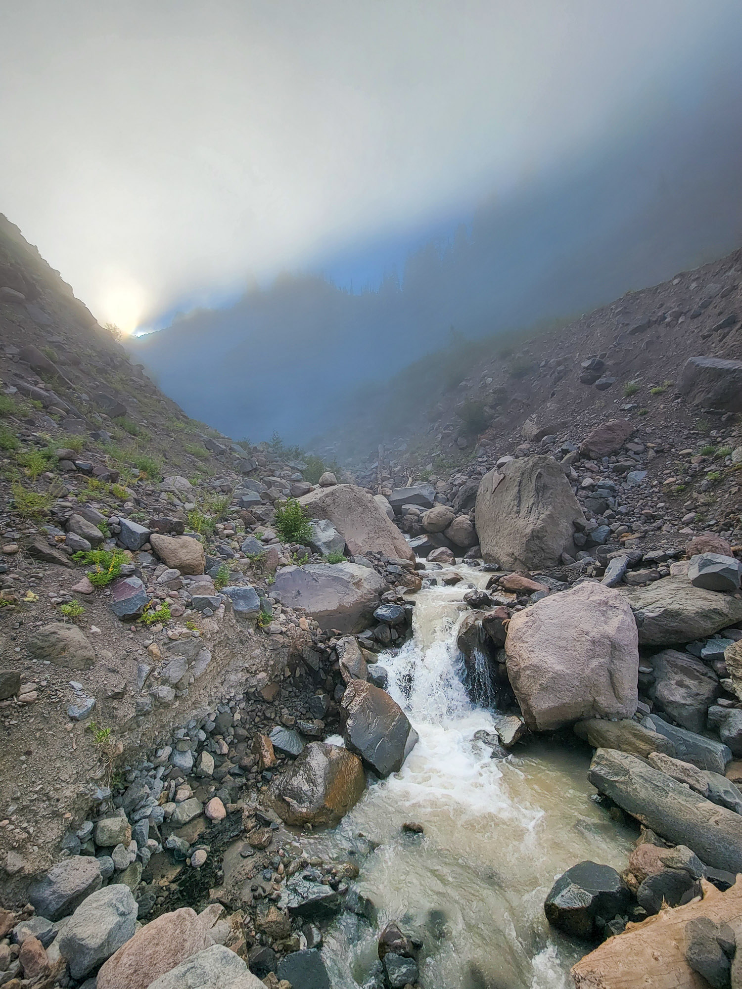
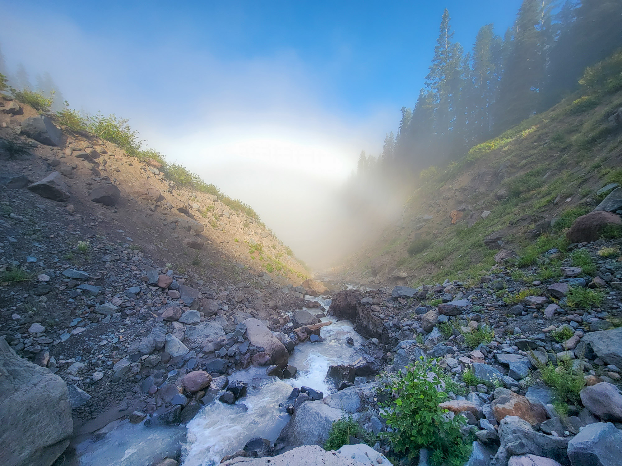
Leaving the Muddy Fork.
Right where the creek that drains the valley above takes a sharp turn there is a good drop in elevation, and I was hoping for a view of a waterfall or cascade.
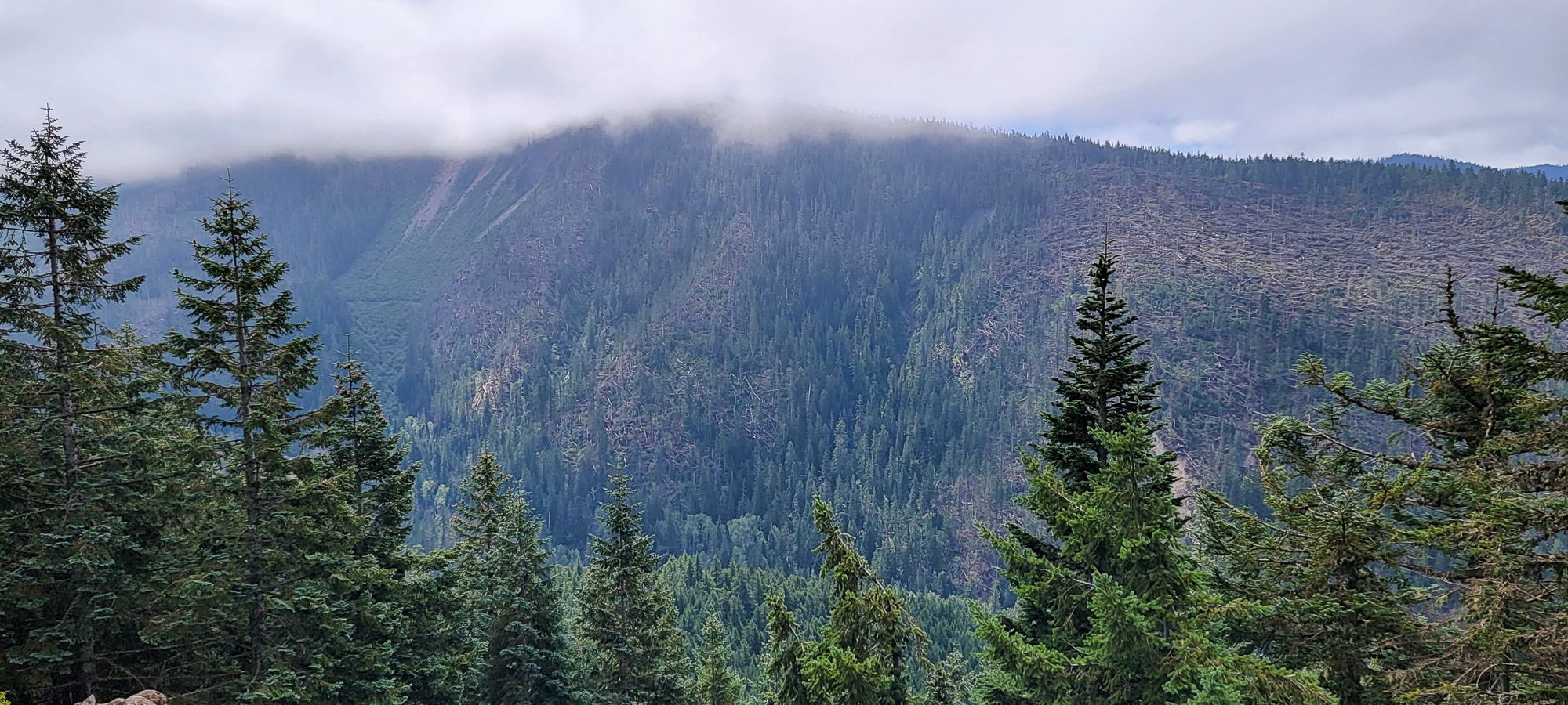
Turns out there are two creeks draining here, just narrowly separated by a talus strewn ridge. I pushed up to the turn, but with the dense alders and berries, increasing size of talus everywhere, combined with heavy fog that might obscure good view anyways, dwindling time for exploring and lessons from earlier in the day, I called it and headed back down. The creek(s) here have some lovely little spots along them and the forest is open and very nice where in the flat area before entering a bunch of blowdown closer to the creek.
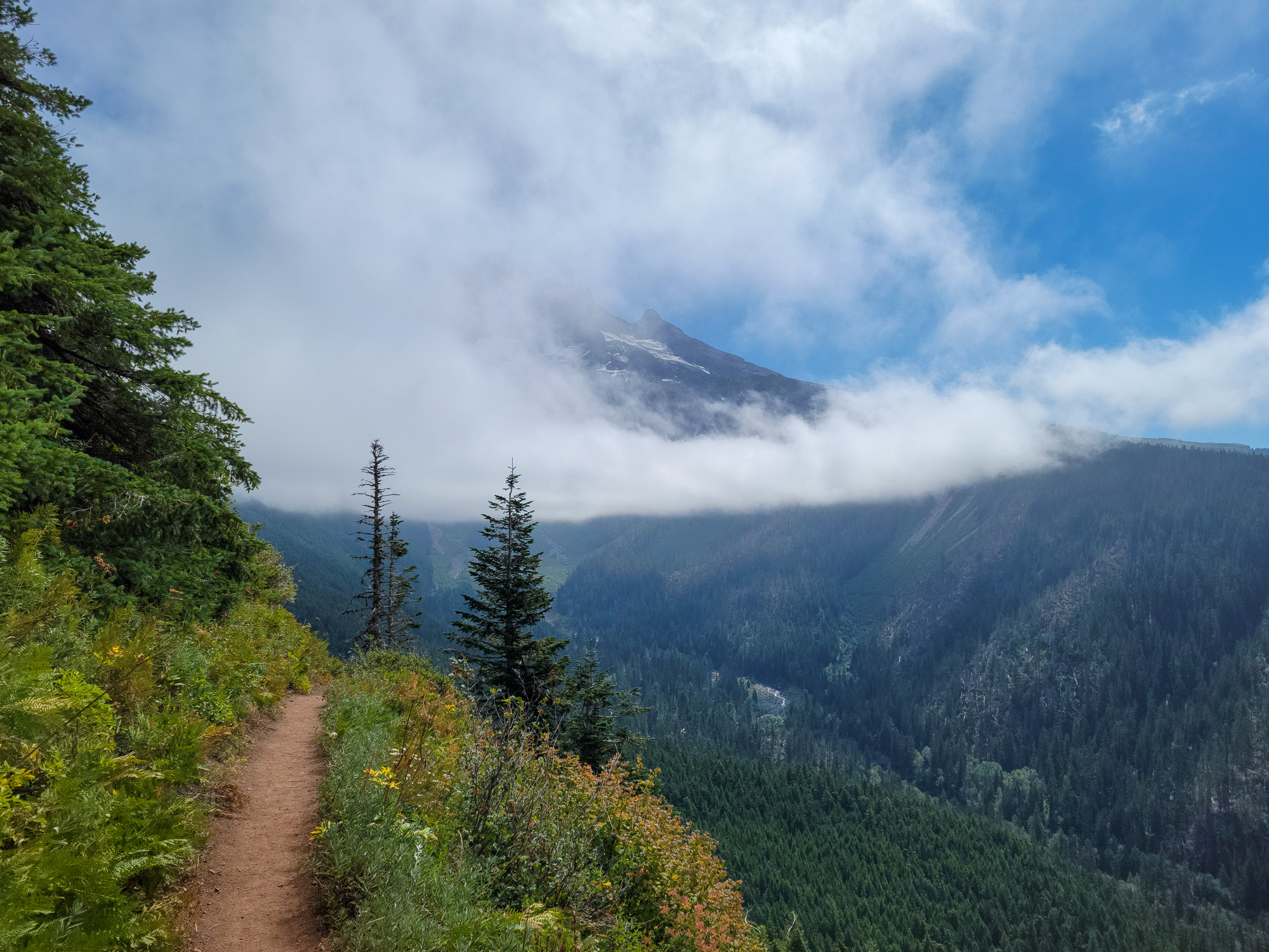
Back down to the Timberline Trail, and back up to catch some views from south side of Bald Mountain.
Sometime I'd Like to explore up the ridge and into this valley and up to Sandy/ McNeil, following this tributary creek. The terrain along the creek forks looks interesting.
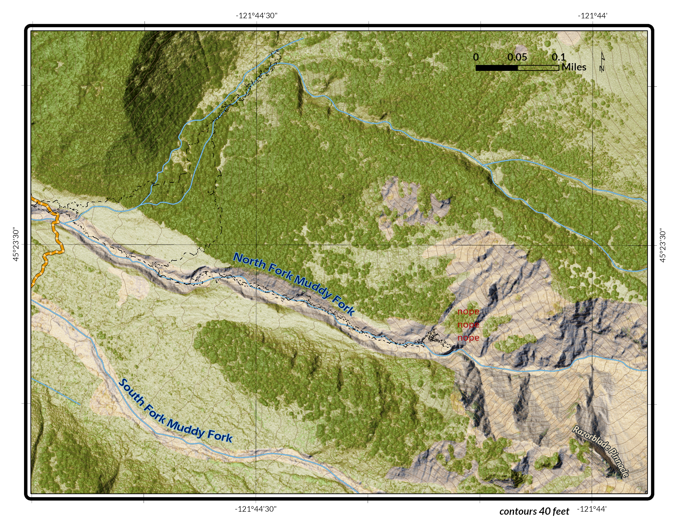
Here's a map I made of my wandering and a google earth view.
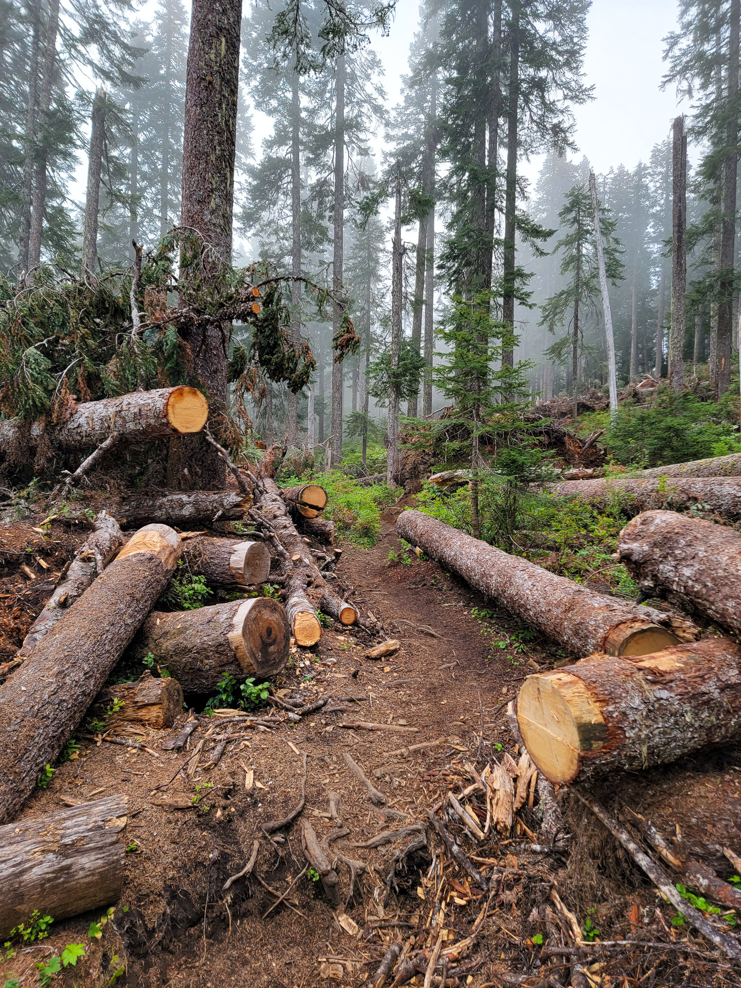
Does anyone know the purpose for the huge amount of logs along FR 1828 at 1828-125?
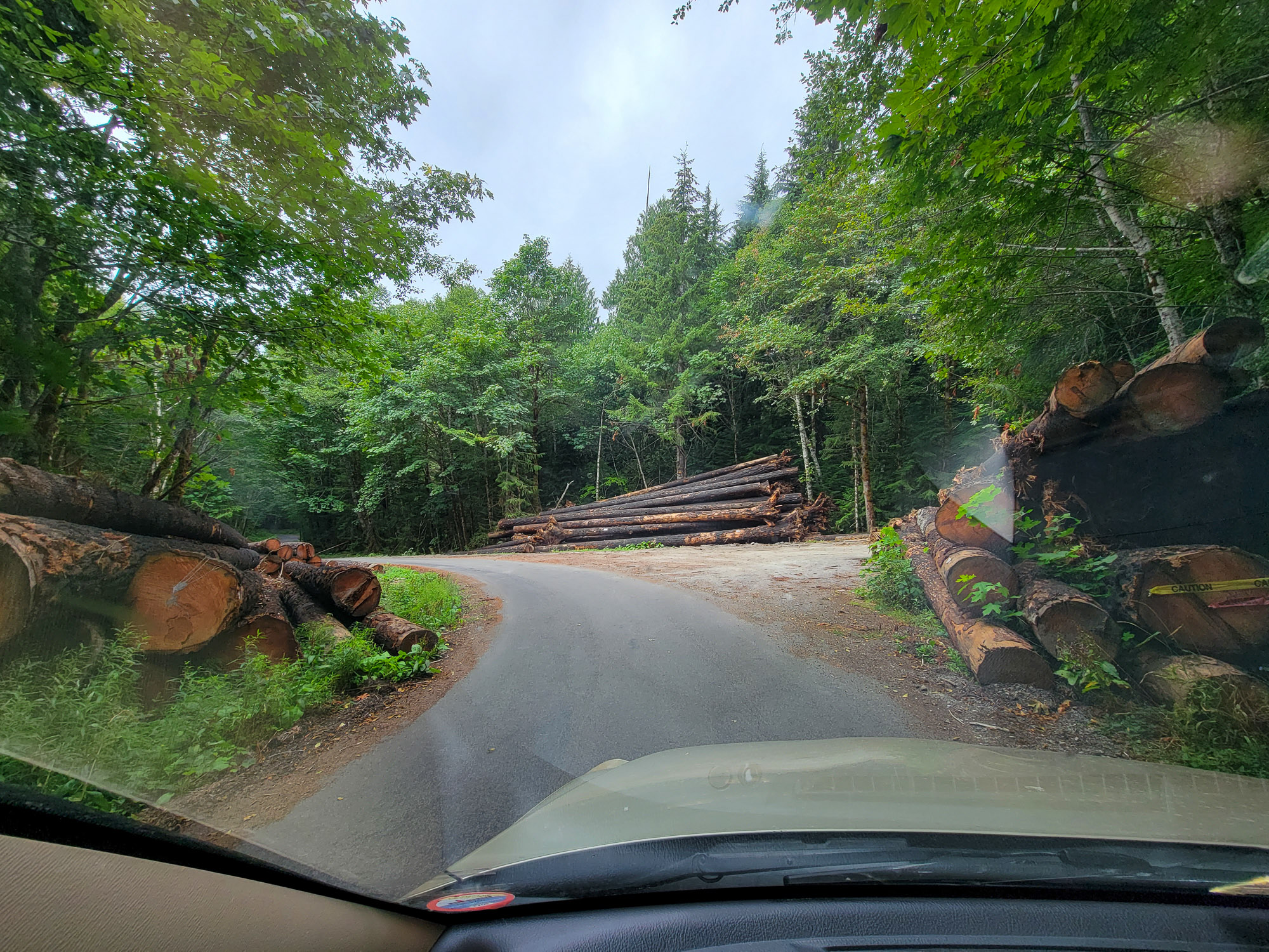
did they come off of the road or were these brought up from the huge amount downed on Old Maid Flat? I thought they might be doing wildlife stuff with them in creeks, but perhaps they are bound for a massive log structure parking garage at Top Spur Trailhead


